Page, Arizona

October, 2020

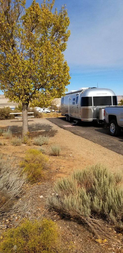
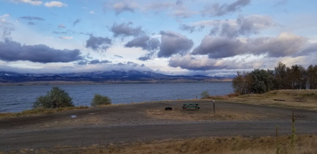
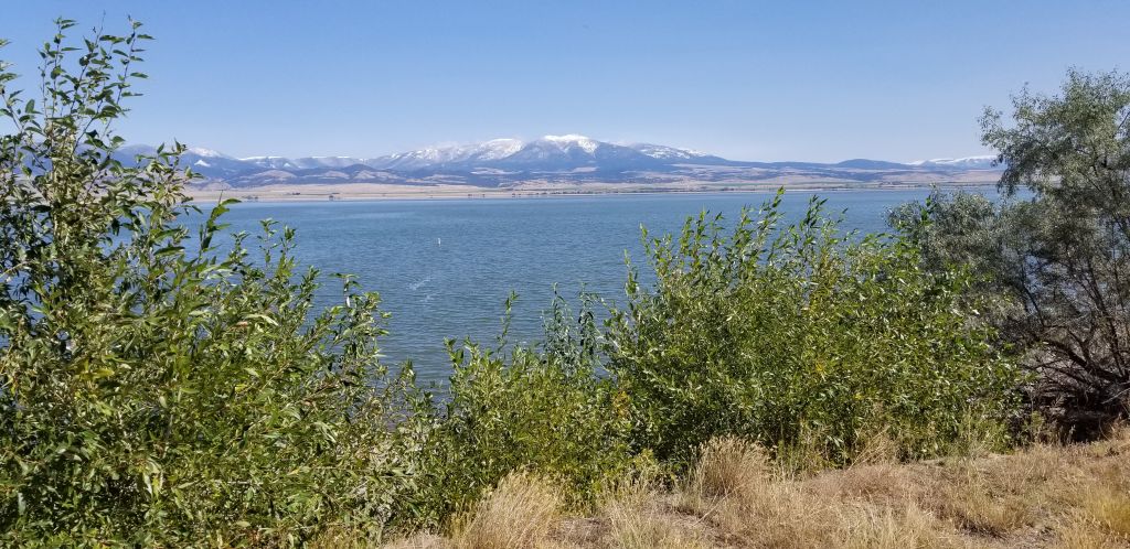
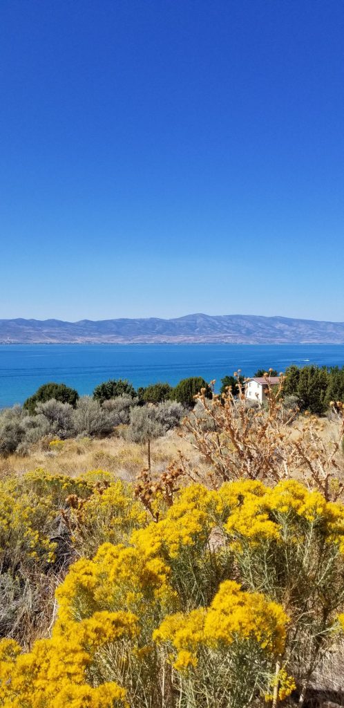
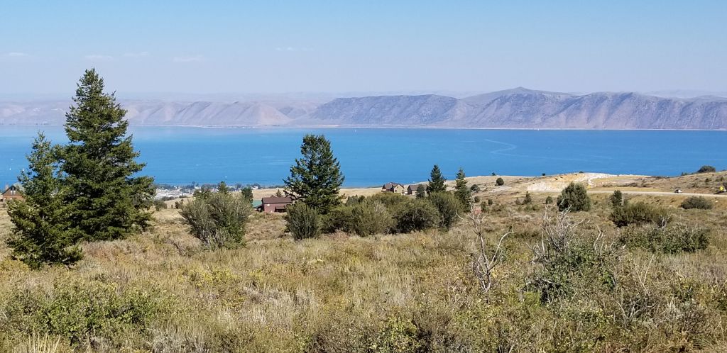
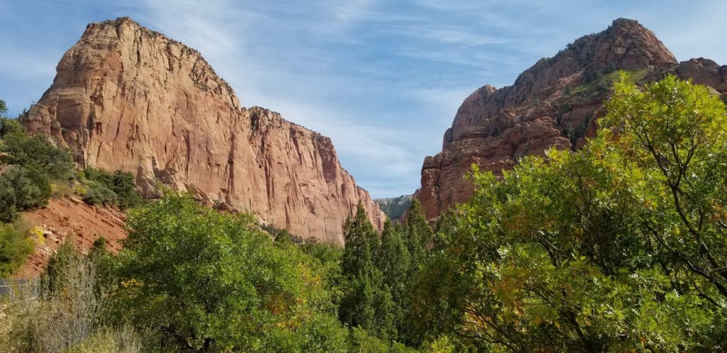
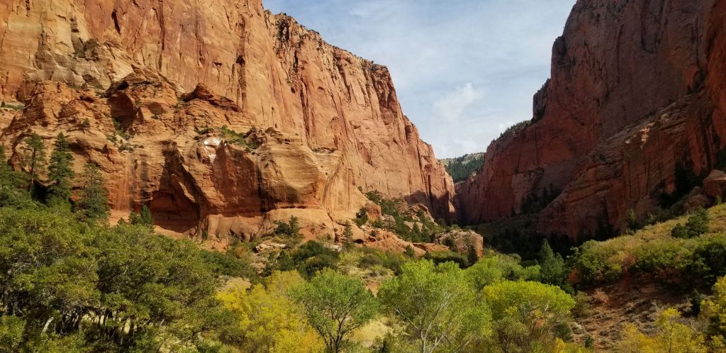
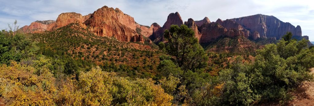
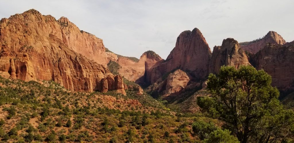
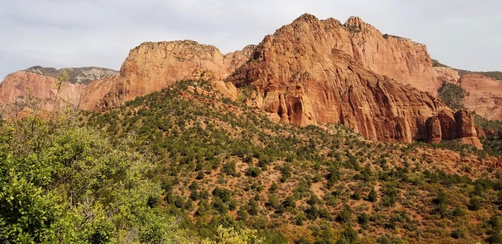
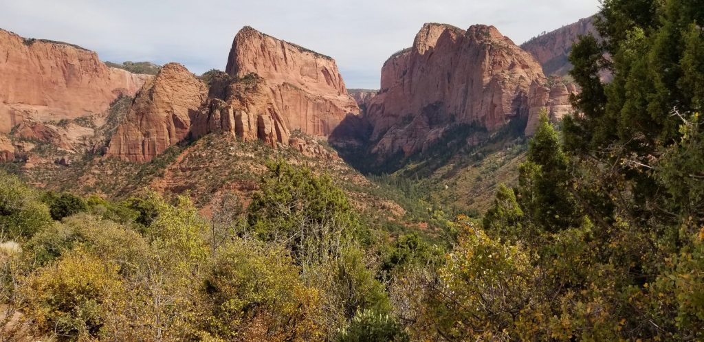
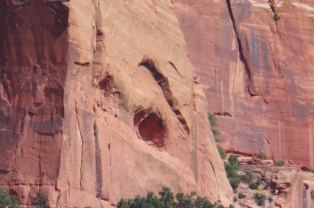
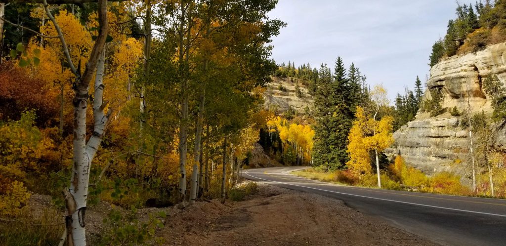
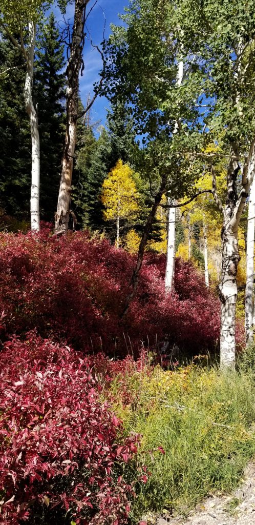
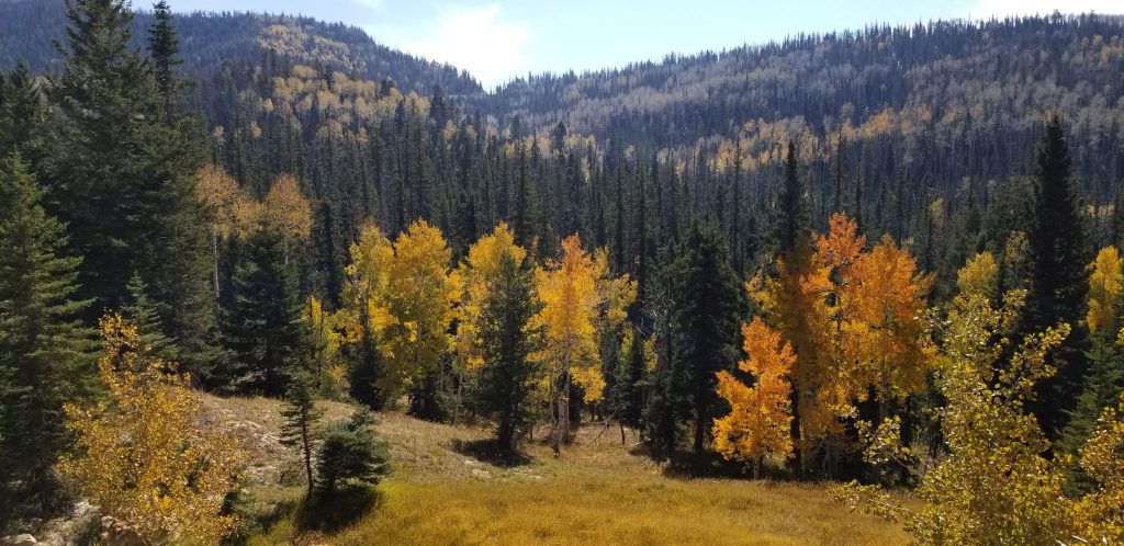
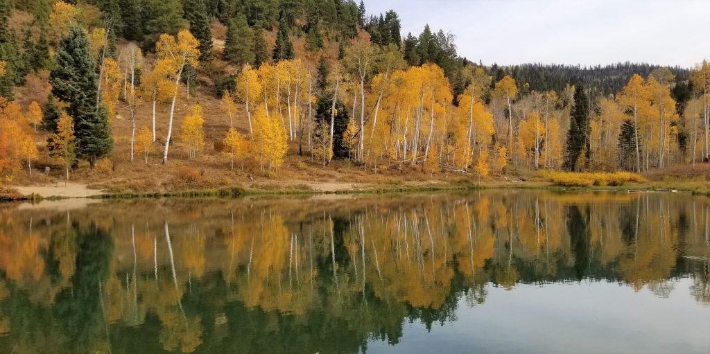
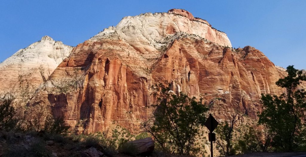
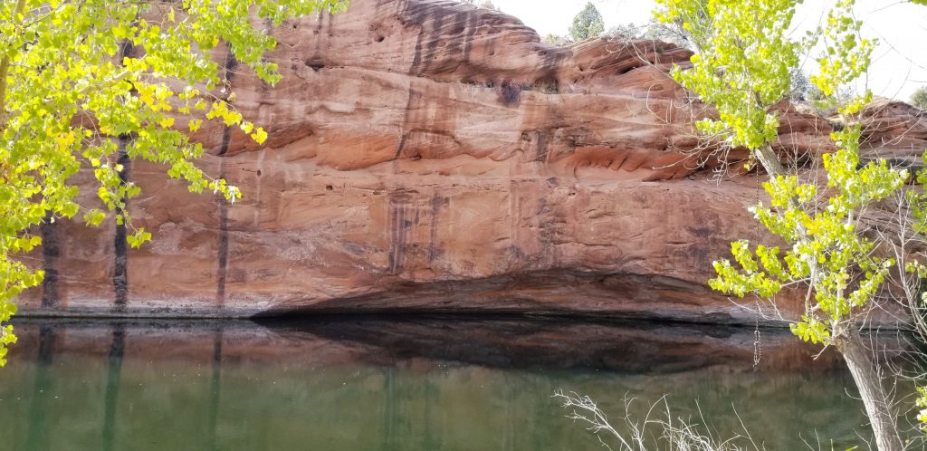
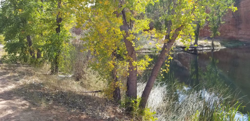
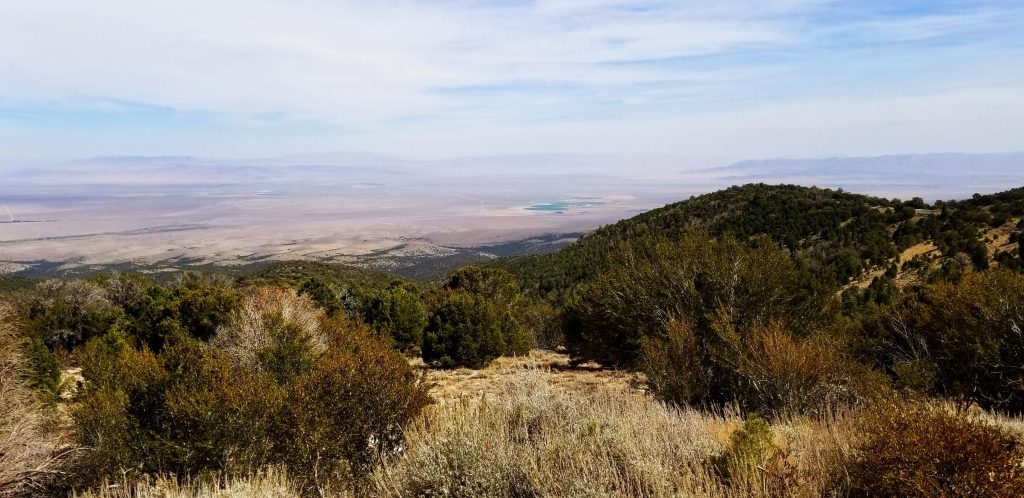
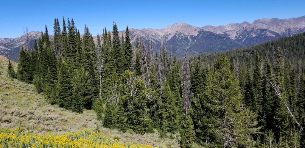
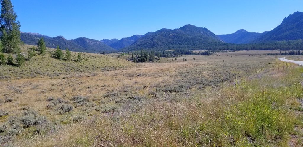
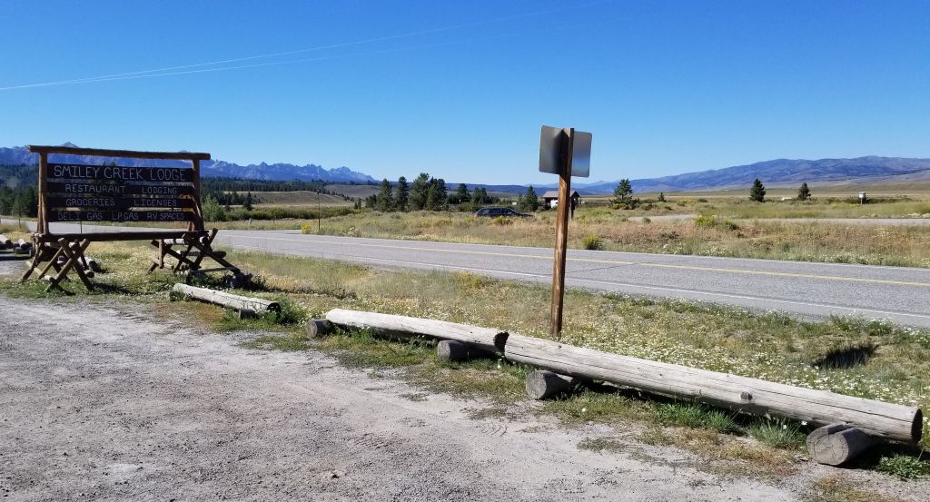
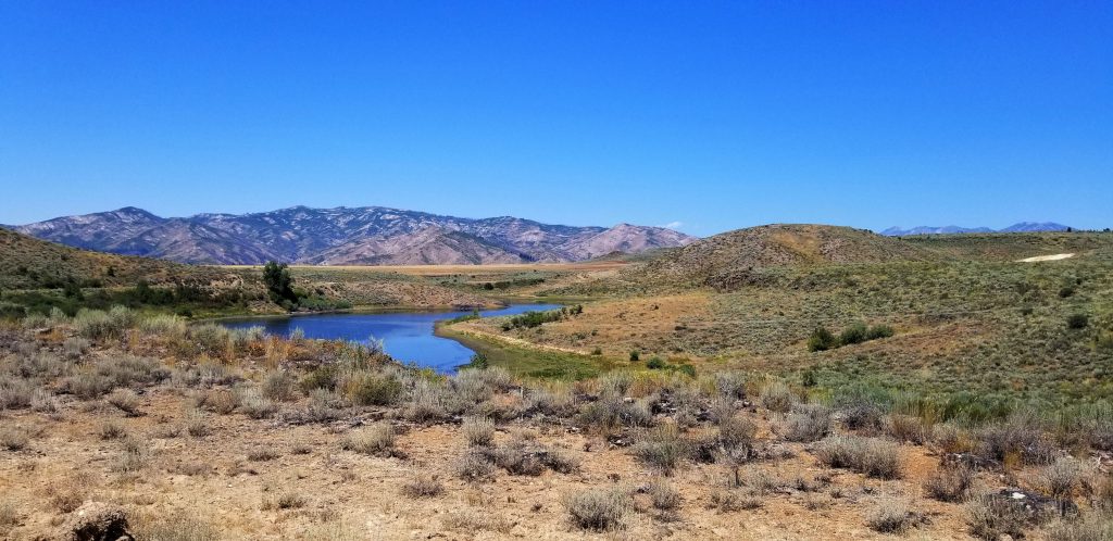
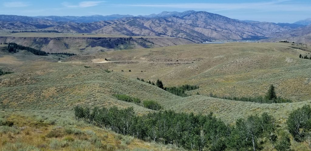
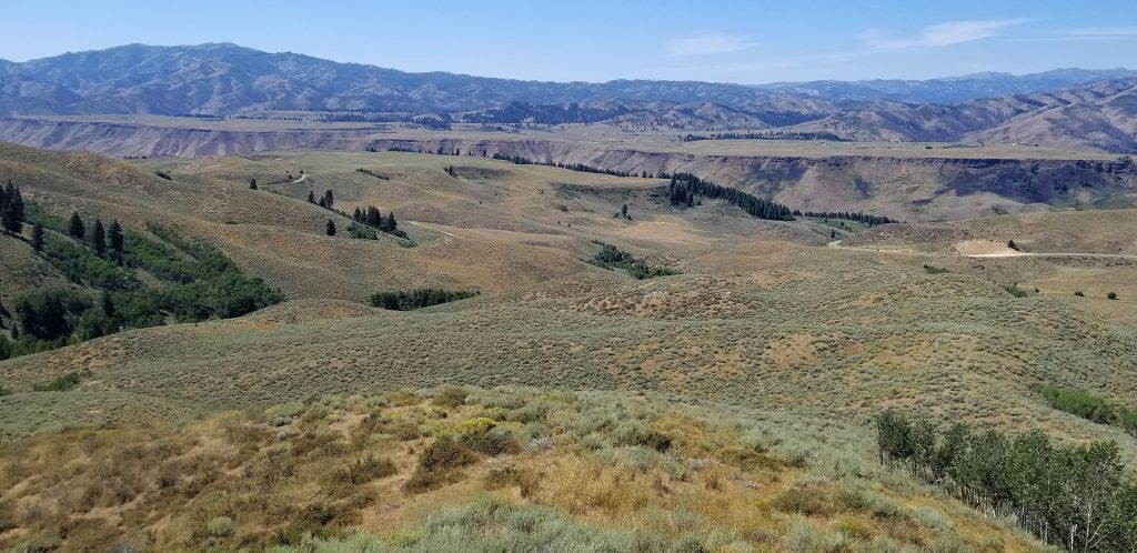
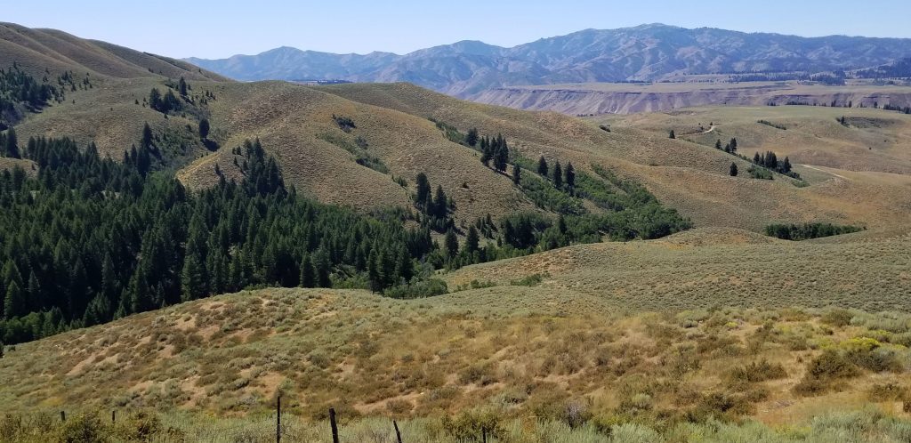
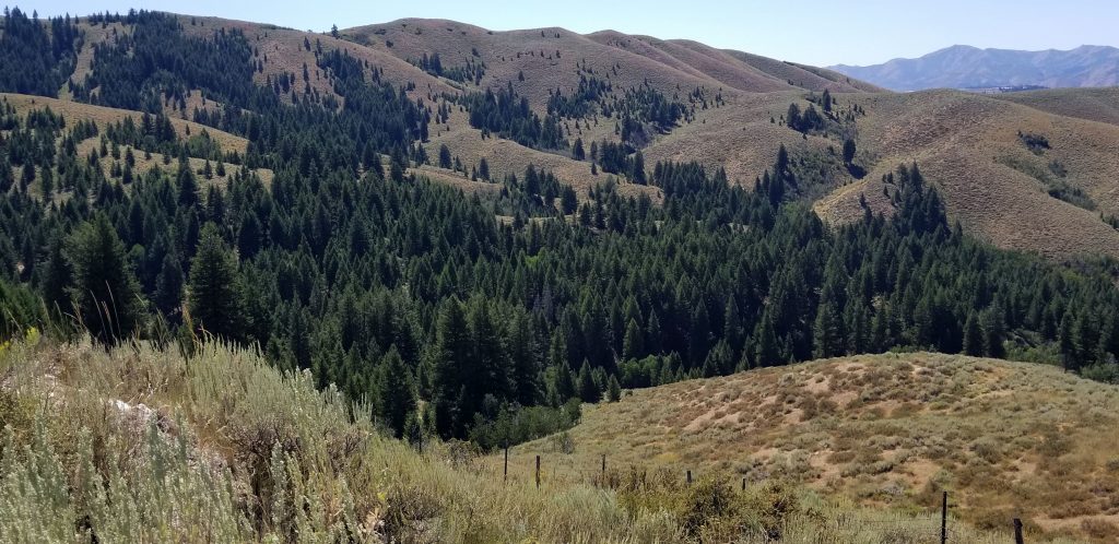
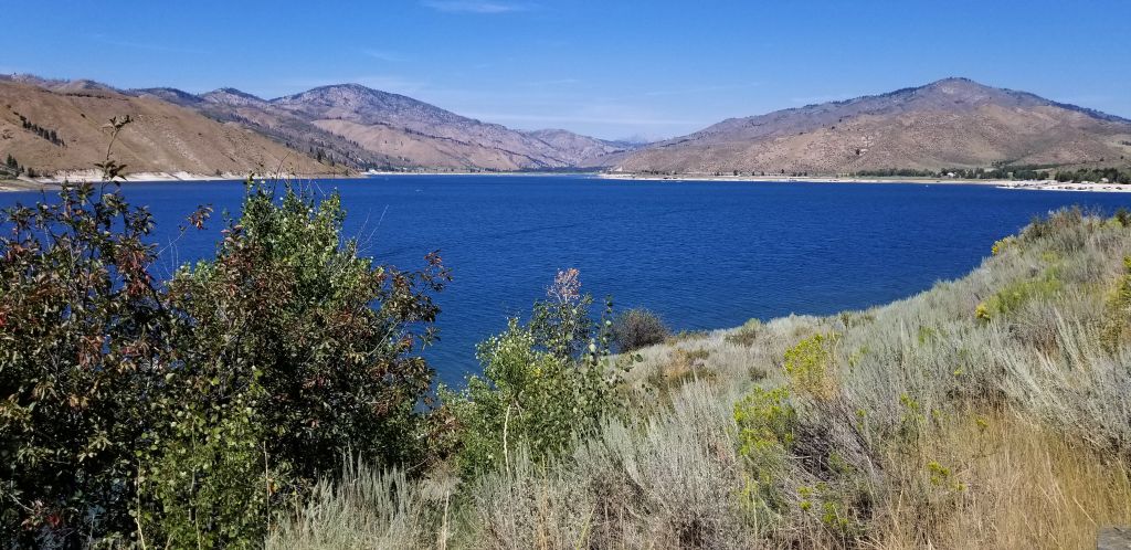
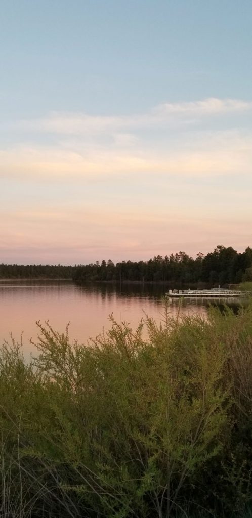
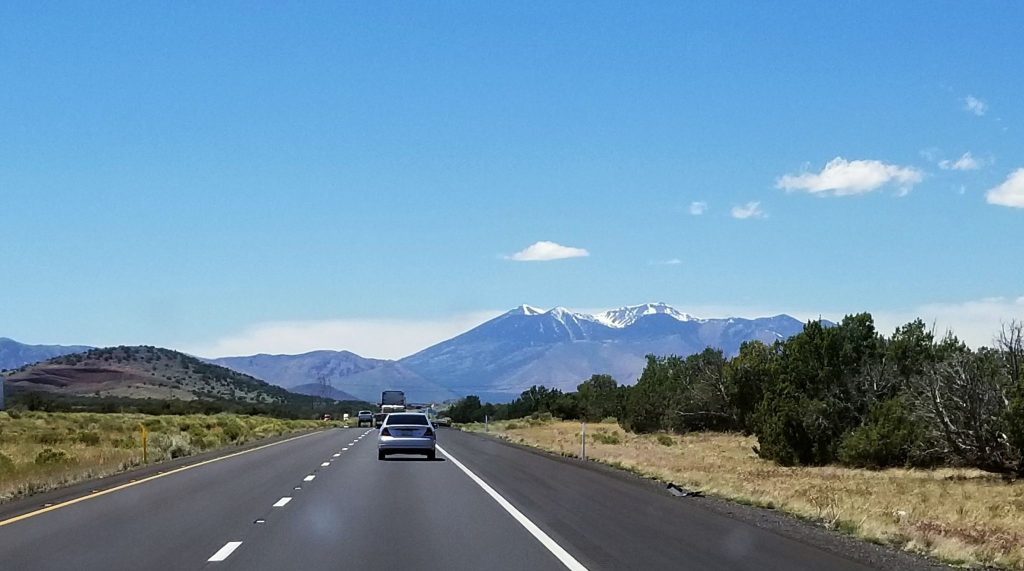
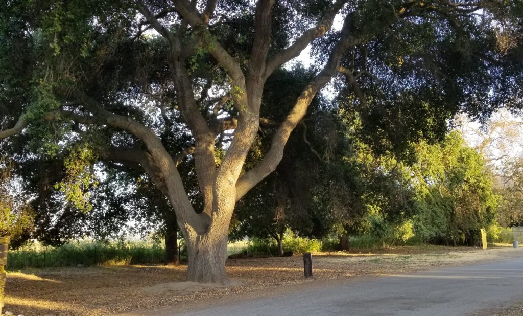
By October, we were in northern Arizona headed south to warmer weather where we would spend the winter. We stayed a couple of days in Waweep RV Park which is just south of the Utah/Arizona border near Page, AZ. Our cell phones were constantly confused about the time since Arizona does not observe Daylight Savings time and Utah does. The campground was very nice with the campsites spaced out nicely. We could look out our windows and see the mountains and Lake Powell.

Our campsite at Waweep RV Park near Page, Arizona.
My morning walk down the path to Lake Powell.

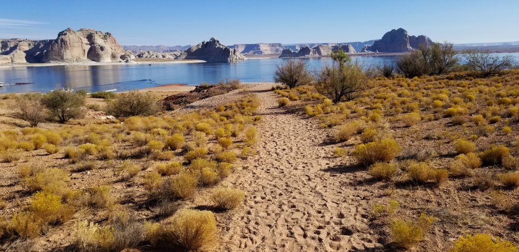
A nice pathway winds through the campground and down to the lake. I took a walk one morning and just enjoyed the beauty of the rocks, mountains and water. Each evening we enjoyed a beautiful sunset.

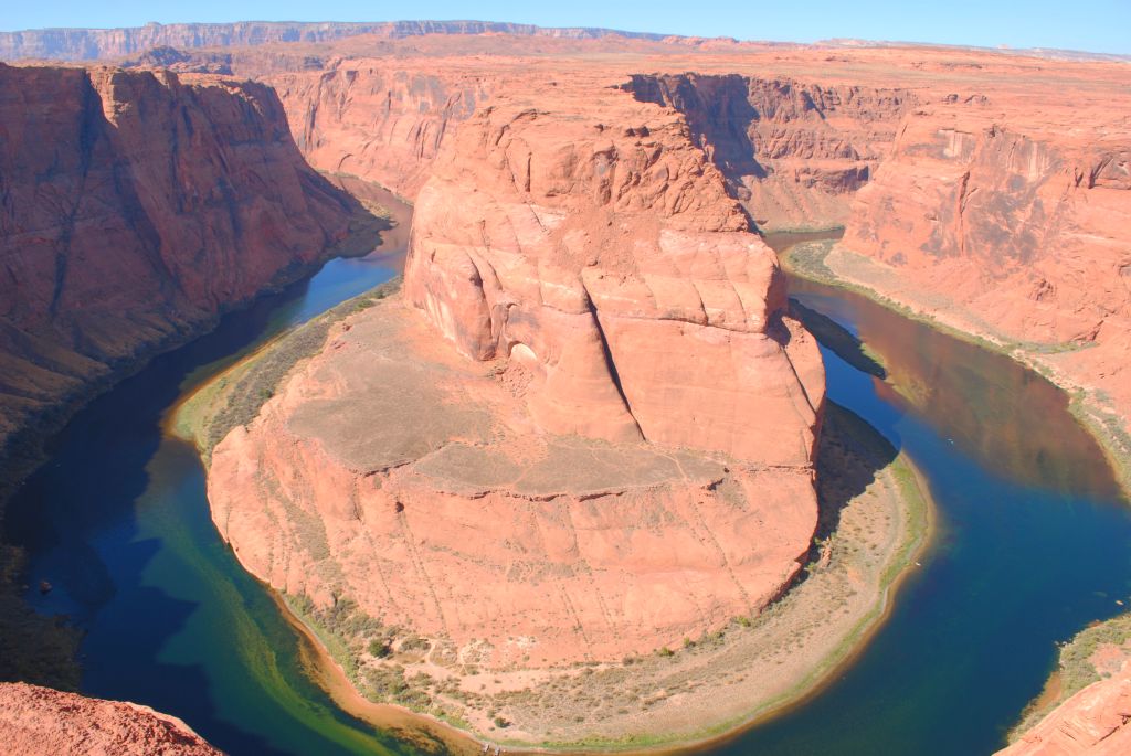
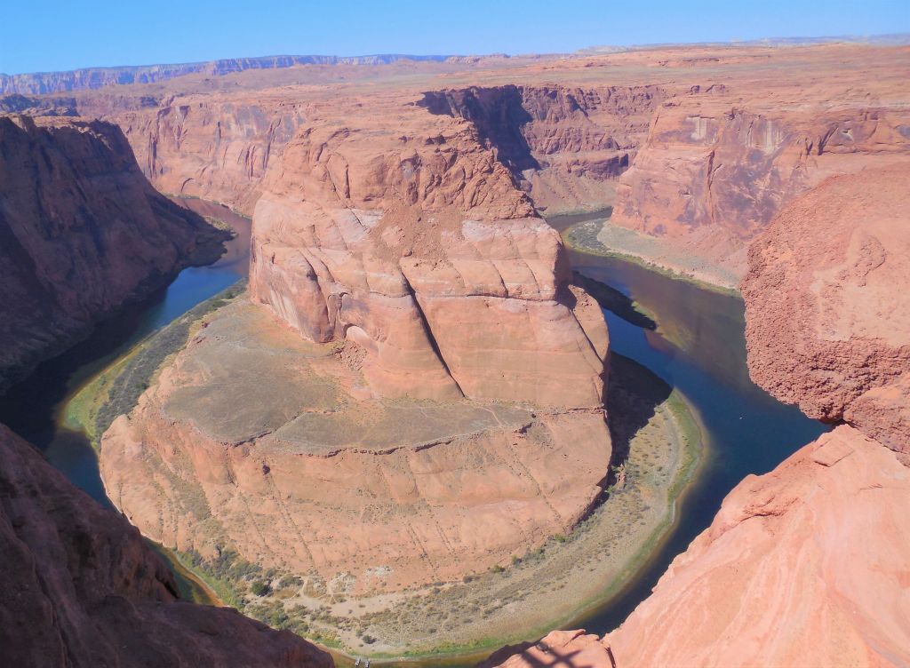
One of the items on my bucket list was to visit Horseshoe Bend on the Colorado River. It just so happened it was only a few miles away from our campground. Although it is on Indian land, it is accessible to the public. There is, however, a $10 charge to park. The trail is paved and there are a couple of shaded benches along the way. We were warned to take water with us since it can get quite hot and the hike is a 1.5 mile round trip. The hike is a gradual downhill walk. At the lookout, there are guardrails along the edge. It was quite an experience looking down a 1,000 foot drop. Down below I could see tiny figures that I realized were people kayaking on the river. My cell phone wasn’t able to get the whole view, but fortunately I brought along two other cameras that had wide-angle lenses that were able to capture the entire view. Even then, it was impossible to get the entire view in one shot. I did some research and found that timing is important. If you get there too early or too late in the day, the canyon is in shadow, so I made sure I timed it just right.

Horseshoe Bend of the Colorado River near Page, Arizona.

It’s a 1,000 foot drop to the canyon floor below.

APACHE JUNCTION, AZ

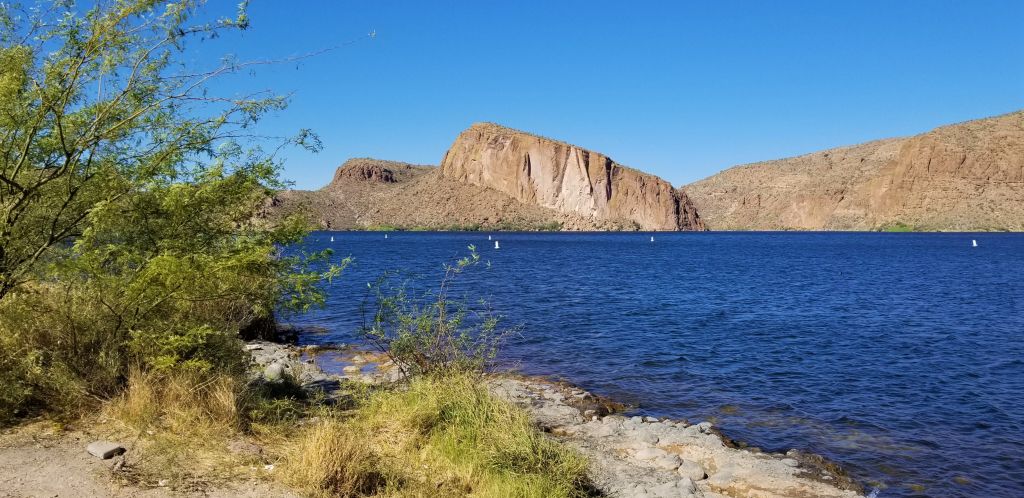
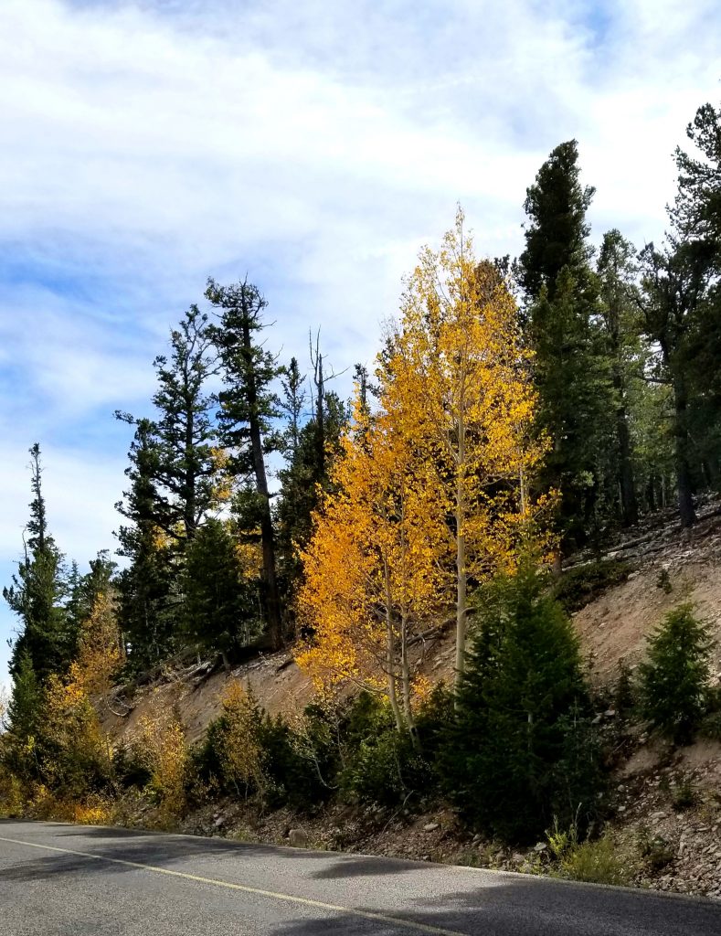
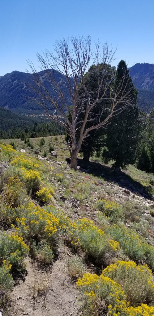
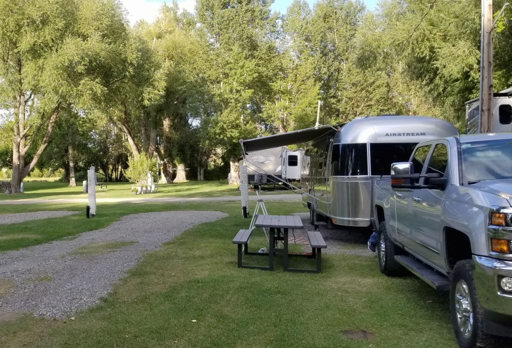
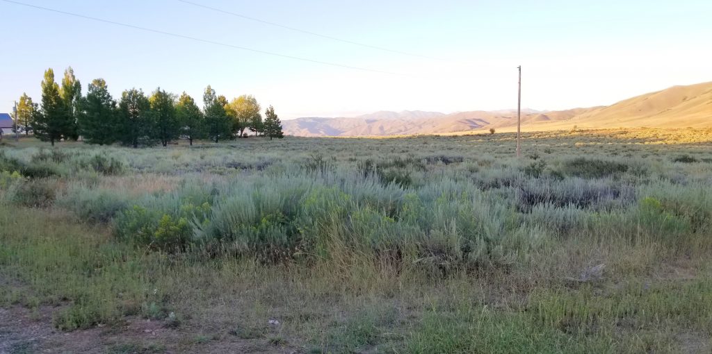
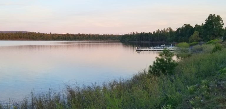
Although it was October, the temperatures were still in the 90’s. We headed to Apache Junction (near Mesa, AZ) to stay in one of our Thousand Trail Encore parks. While we were there, we took a day trip to Canyon Lake.

Canyon Lake

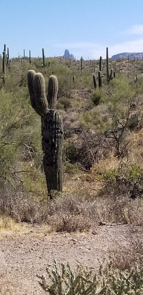
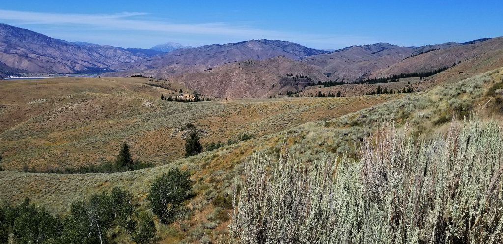
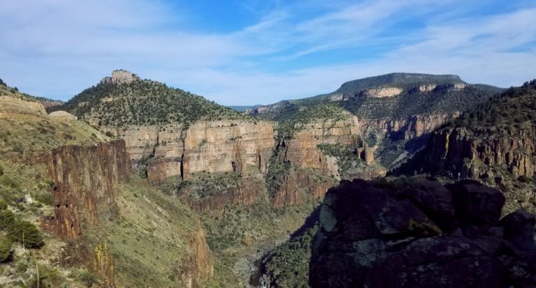
Along Highway 88 from Apache Junction to Canyon Lake was a pull out with a trail to Weaver’s Needle, a rock spire in the Superstition Mountains. I hiked to the end of the trail hoping to get a photo of the needle. I was disappointed that I could only see the tip of the needle in the far distance. A zoom lens helped me get a little closer look.

Path to Weaver’s Needle falls short of a good view.

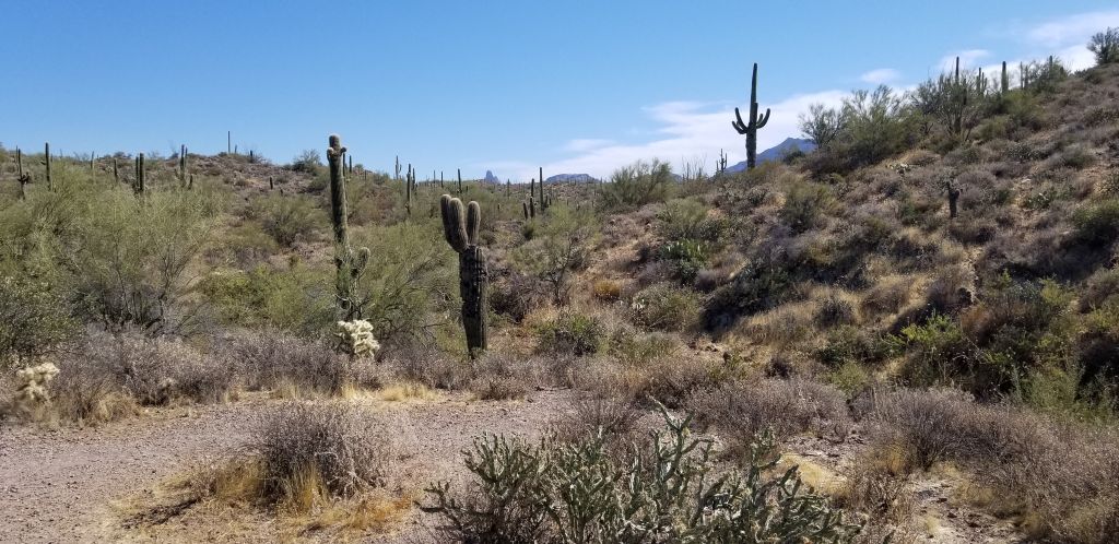
There is a legend that the shadow of Weaver’s Needle points to the Lost Dutchman’s Mine at a particular time of year.

Even with a zoom lens, Weaver’s Needle is barely visible.

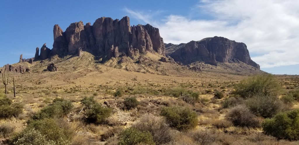
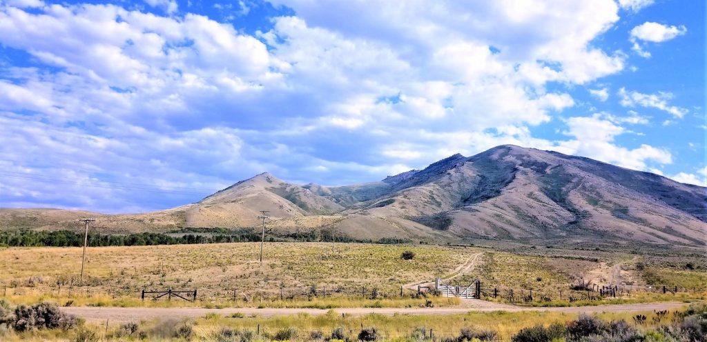
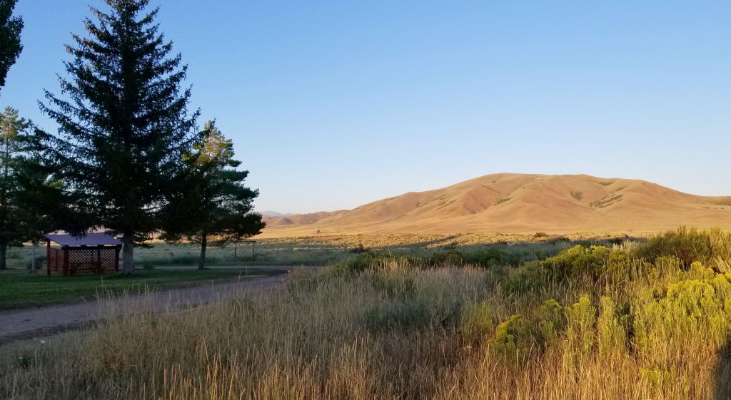
Apache Junction sits at the foot of the beautiful Superstition Mountains. The mountain faces west, so as the sun sets, the mountain reflects the colors of the sunset. There’s a state park there now—Lost Dutchman State Park—with hiking trails. One day I hiked on one of the trails to get some photos of the mountain and the desert.

 But my favorite time of day was in the evening when the cacti were silhouetted against a flaming sky of color.

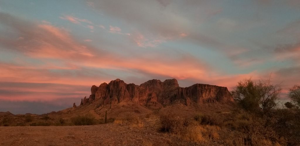
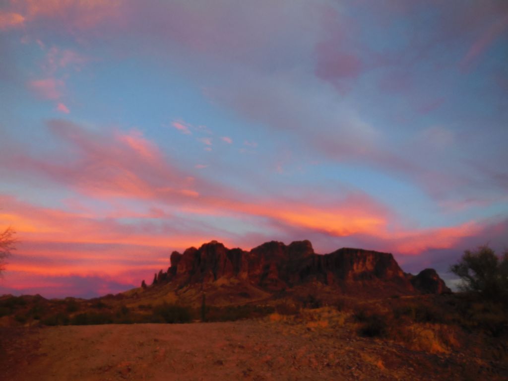
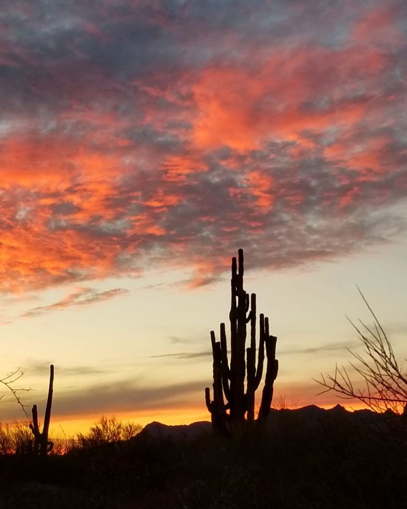
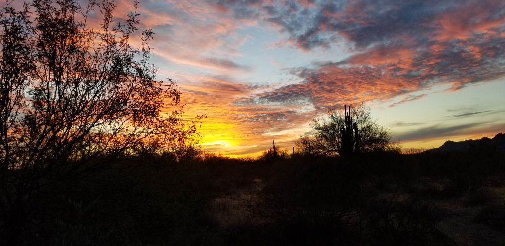
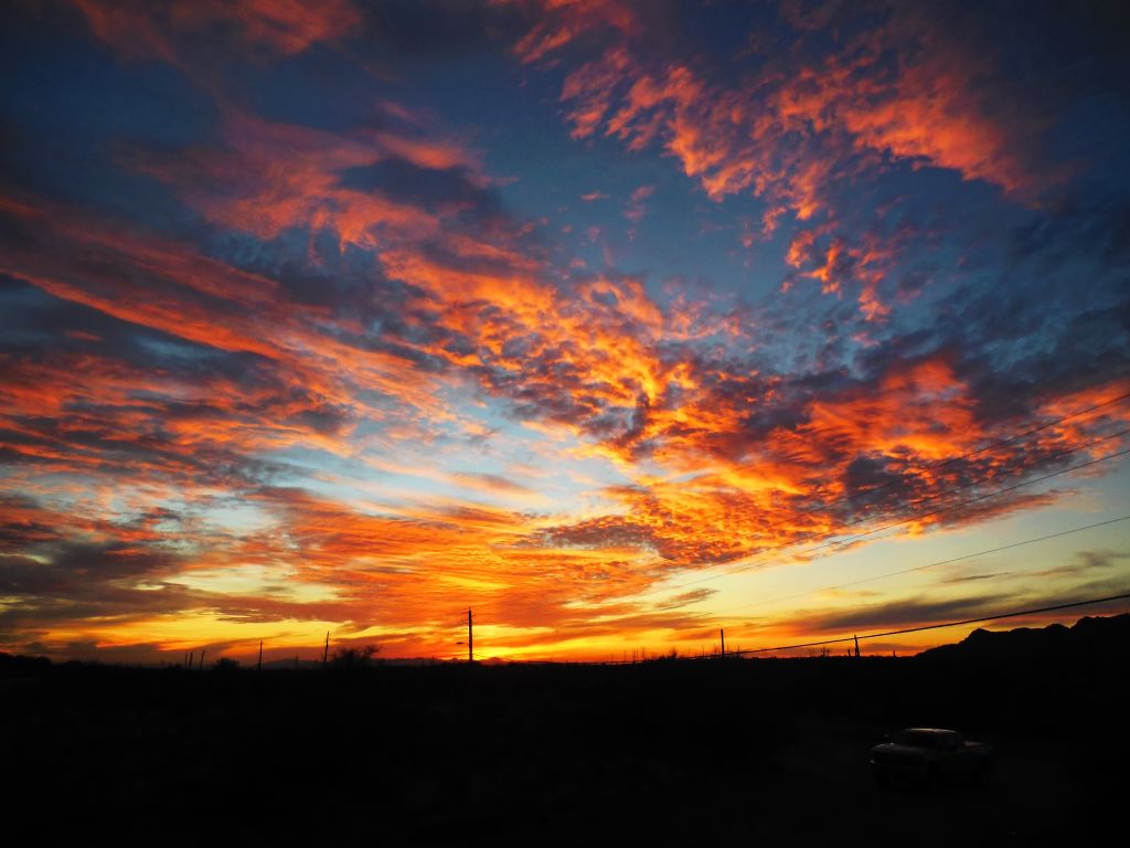
Arizona sunsets are the best!

It was time to head to California to spend the holidays with family.

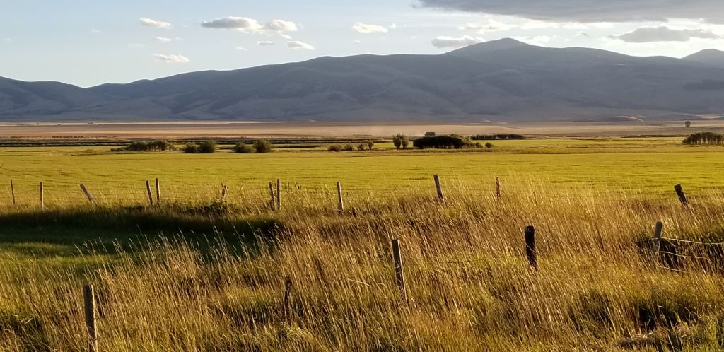
Election night November 3, 2020, in Congress, AZ.

White Sulphur Springs, Montana

September 2020

We stayed for two weeks in White Sulphur Springs, Montana, a small town with a population of less than 1,000. There are lots of beautiful areas in and around this quaint little mining town.

Nearby, there are wheat and hay farms. Everyone grows hay here, it seems. They roll the hay in big bales and use most of it for feeding their own livestock. Winters are harsh here, so I’m sure it takes a lot of hay to last all winter long.

One afternoon, we drove around the back dirt roads around the town. Here are some of the sights we saw.

One day while driving toward Bozeman, Montana, we found this quaint old church from 1898.

And nearby was this iconic view of a typical Montana ranch. Notice the rows of bales of hay to the right.

In September, we moved to a KOA outside of Townsend, Montana, just a few miles from Helena, Montana. One evening it rained and we could see snow on the nearby mountains across the lake. However, in a couple of days the temperature was up in the 80’s again.

As we made our way south, we stayed in Downey, Idaho, for a couple of nights. We were really close to Bear Lake in the corner of Southeast Idaho and northeast Utah, so we decided to take a day trip to see it. We drove most of the way around the lake. It was hazy from the wildfires, but the water was still a beautiful turquoise blue.

Further south, we stayed at a nice campground in Duchesne (pronounced du-shane), Utah, which was right by a reservoir. It would have been nicer if there wasn’t so much smoke from a nearby fire.

The fire nearby.

Categories: Airstream Travel, RV Travel Tags: Airstream, Airstream Travel, Bear Lake, Duchesne, Full Time RVing, Idaho, Montana, Montana back roads, Montana travel, Old Sedan Church, Places to see in Idaho, Places to see in Montana, Places to see in Utah, RVing, Townsend, Utah, White Sulphur Springs

Kolob Canyon Utah

October 11, 2020

Zion National Park is bigger than I thought! We drove into Kolob Canyon little realizing it was a part of Zion NP. However, there is no road to the main part of Zion through Kolob Canyon. It’s a dead end road. But the beautiful red rocks cliffs are just as stunning.

This was a nice short trip to the backside of Zion to see more of these amazing rocks.

Two more nearby sites we saw while camping in Hurricane, Utah, were the CCC (Civilian Conservation Corp) Camp in Leeds, Utah, and an old ghost town that was a former mining town called Silver Reef.

The CCC was an organization started from 1933 to 1942. It was a work relief program for young men between 17 and 28 years old. It provided manual labor jobs related to the conservation and development of natural resources in rural lands owned by the federal, state and local governments. It provided them with food, clothing and shelter plus a wage, part of which was sent home to their families.

Silver Reef was once the site of a silver mine in 1866. Geologists were at first uncertain about the claim since silver is not normally found in sandstone.


Categories: Airstream Travel Tags: CCC camps Utah, CCC corp, Civilian Conservation Corp, Hurricane Utah, Kolob Canyon Utah, Leeds Utah, Mining towns, red rocks, Silver mines, Silver Reef Utah, sites to see in Utah, Southern Utah travel, St. George Utah, Utah travel, Zion Kolob Canyon, Zion NP | Comments

Bryce Canyon National Park

October 10, 2020

On the way to Bryce Canyon, we passed through Red Rock Canyon. In Bryce, you are looking down into the canyon. However, in Red Rock Canyon, you are down in the canyon looking up.

The red rock spires reach into the sky.

We drove on to Bryce Canyon where we saw this awe-inspiring display at Sunset Point. It wasn’t sunset, but the rocks were beautifully reflecting the afternoon light. Down below were trails, wildlife and conifers. It you look closely, you can see the tops of the trees.

Bryce Canyon is a changing landscape. The spires, or hoodoos, as they are called, continue to change through erosion from wind, rain, snow and ice.

Bryce Canyon National Park is a rather narrow but long national park positioned along the edge of the Paunsaugunt Plateau. In the distance are the gray, white and vermillion cliffs that stair-step down to the land below. The elevation at the rim varies between 8,000 to 9,000 feet in elevation, thus the expansive views.

At around mile 12 of the road into the park, there is a “natural bridge,” which is really a natural arch. The name was given so long ago that it stuck. A true natural bridge by definition is formed by flowing water that cuts through the sandstone. This arch was formed by other means.

Looking across the span of Bryce NP at the end of the road at Rainbow Point.

We enjoyed our day at Bryce Canyon National Park. We would like to go back some day to spend more time there.

Categories: RV Travel, Utah Travel Tags: Airstream, Airstream Travel, Bryce Canyon, Bryce Canyon NP, Bryce National Park, Full Time RVing, National Parks, Red Rock Canyon, Red Rock Canyon Utah, Utah, Utah destinations, Utah scenery, Utah travel

Fall Foliage in Utah

October 2020

While staying in southern Utah, we took a day trip to see the fall foliage. Driving up the canyon on Hwy 9, we caught some leaves turning beautiful colors.

We stopped at a county park where I hiked up a hill pathway to see where it might lead. I was rewarded with this beautiful pond capturing the reflection of the golden aspen trees.

Categories: RV Travel, Utah Travel Tags: Airstream Travel, CA RV travel, Fall colors, Fall foliage, Full Time RVing, Golden aspens, RVing, Travel, Traveling, Utah, Utah travel

Zion National Park and Surrounding Areas

September 29, 2020

While staying in Hurricane, Utah, near St. George, we took day trips to Zion and Bryce Canyon National Parks, Cedar Breaks National Monument and Pink Sands State park. The day we went to Zion was a Friday. Big mistake!  The parking lots were full, so we decided to just drive through the park. None of the turnouts were available, so the first photo I got was while waiting in line for 15 or 20 minutes to drive through the tunnel. The above photo is the shot I got from the car. The park regulates the tunnel traffic to one lane, and thus the wait.

As we drove through the park, we eventually found a few turnouts where I could get some photos. The huge red rock canyon walls are just as beautiful as ever. I even managed to see a big horn sheep, though he was too far away to get a good photo.

This was our last stop in Zion. It is called Checkerboard mountain.

On the way out of the park, we drove through the town of Kanab, Utah, where we once stayed for a family vacation back in the late 80’s. There’s a restaurant called “Trails End” and just a few doors away was an art gallery (not there now) where Ray bought a watercolor painting by Roland Lee, now a renown artist. Little did we know then that we’d made a good investment. We just liked the painting!

A little ways out of Kanab, we came across this interesting “cave” and lagoon. The fall colors caught my eye.

Our trip that day took us in a loop that dipped down into Arizona. We drove through the town of Colorado City, Utah, where the polygamist Fundamentalist Mormons used to have a large colony, and on to a Utah state park called Pink Sands. The sands aren’t really pink. They are more like red or orange. It cost money to drive into the park, and I didn’t plan to stay long, so I climbed up a sand dune and got a couple of shots of the “pink” sand dunes.

Our day trip took us many miles, but discovering new places is one reason we travel full time. Our great country is full of beautiful national parks, state parks and scenic beauty.

Categories: Airstream Travel Tags: Airstream, Airstream Travel, Full Time RVing, Highway 9 Utah, Kanab Utah, Pink Sands, Pink Sands State Park, RVing, Utah travel, Zion, Zion National Park

Great Basin National Park

September 22, 2020

A little town called Delta in the central western part of Utah was a nice little town where we stayed for a week. It was the closest we were going to get to Great Basin National Park on our 2020 journey, so we decided to take a day trip to add another National Park to our accomplishments. Even so, it was more than 100 miles to the park which is actually in Nevada. We packed a lunch and headed out in the morning. It was a pretty barren landscape until we got within 30 miles or so of the park. There’s a huge dry lake, Sevier Lake, that offers some views from the highway. It is an endorheic lake (a drainage lake with no out-flowing streams to other bodies of water).

Before we drove far inside the park, we stopped at an outdoor exhibit. In the field beyond was an old car. It you look beyond it, you can see part of the Great Basin that the park is named after. According to Wikipedia, “the Great Basin is the largest area of contiguous endorheic watersheds in North America. It spans nearly all of Nevada, much of Oregon and Utah, and portions of California, Idaho, Wyoming and Baja California in Mexico.” It is a vast area. What is surprising is that the Great Basin National Park itself is mostly a road up a 13,000 foot mountain called Wheeler Peak, and the surrounding foothill areas. The park derives its name from the surrounding basin area.

View of Wheeler Peak

The drive up to Wheeler Peak was breath-taking. Right away you could look over the vast distances of the Great Basin below.  The smoke from the summer wildfires in the west obscured our view somewhat.

As we traveled further up the mountain, the aspen trees began to show their fall colors.

The road took us over 10,000 feet in elevation. At the top are the bristlecone pines, some of which are hundreds of years old. Looking up close at the pine cones, I realized why they are called “bristlecone” pines.

Here’s a closer view of Wheeler Peak. At the end of the road is a parking lot where there are trailheads for hiking trails to see ancient bristlecone pines and even one trail to the top of Wheeler Peak. The high elevation and thin air would deter me from such an adventure. On the day we went the parking lot was full, so we turned around and headed back.

Other items of interest to explore would be the alpine glaciers, Lexington Arch–a natural arch, Lehman caves, and the many trails around the park. This park is a hidden gem that I recommend exploring if you ever get the chance.

Categories: Airstream Travel, Utah Travel Tags: Bristlecone Pines, Fall colors, Fall colors in Utah, Fragrance, Full Time RVing, Great Basin National Park, Nevada travels, RVing, Utah travels

Beyond Sun Valley, Idaho

August 19, 2020

While we were staying near Mountain Home, Idaho, we took a day trip up Highway 75 that goes through the Sun Valley resort area. We drove several miles past Sun Valley into the mountains. We found these beautiful views, some wildflowers blooming and lots of beautiful vistas from the lookout in Sawtooth National Forest.

This is the road up over the pass. There are plenty of pullouts where you can get some great photos.

Looking across at the Sawtooth Mountain Range, this valley has plenty of creeks and rivers where the fishing is great.

At the foot of this mountain pass was a pretty valley where there was an airport.  Across from the airport was Smiley Creek Lodge with a restaurant, RV park and store. We split a hamburger. The hamburger was one of the best I’ve had in a long time. So if you make it to this part of Idaho, be sure to stop in and try it out.

Nevada to Idaho

August 18, 2020

Wells, Nevada

On our way to Idaho and Montana, we stayed at this pretty place in Wells, Nevada. The campground had an artesian well. The water comes from the nearby mountains from the rains and snow melt. All around the area is dry and arid, except for this small area where the water flows from the mountains and makes a green oasis, as you can see from the photo of the campground.

Welcome Station RV Park, Wells, Nevada

Our next stop was in Glens Ferry, Idaho. We only stayed one night there. We were on our way to Mountain Home, Idaho. The campground was actually 25 miles northeast of the town of Mountain Home. It was quite a bit higher in elevation and therefore had milder summer temperatures than the town of Mountain Home. We were following our GPS that suddenly had us driving down a dirt road. I asked Ray to call the campground to make sure we were on the right road. Yes. It turns out we were on the right road and had about a 3 mile drive to the campground. We had recently washed the truck and Airstream, but the campground turned out to be worth the drive.

On the way there, we saw this reservoir with a view of the surrounding mountains.

Little Camus Reservoir

The campground itself was nestled in among pines and other trees in a beautiful mountain setting.

Fort Running Bear RV Resort

While we were there, we took some day trips to the surrounding areas. One of our trips was to Anderson Ranch Reservoir. It’s a scenic drive with a spectacular view when you approach it. We drove around it and saw the town of Pine and Featherville. To get back home, we turned around because the road was blocked due to a landslide further on.

The first view of Anderson Reservoir

The following photos are a panoramic view counterclockwise.

As we got closer, were able to see more of the reservoir.

This is a popular summer recreation area with boating, water sports, fishing and camping. Many RVs were parked right near the water (dry camping).

As the Covid-19 restrictions were still preventing dining in, we ate sandwiches we packed with us. However, we did order french fries to-go that were delicious. Idaho potatoes make great fries!

Categories: Airstream Travel, RV Travel Tags: Anderson Ranch Reservoir, Fort Running Bear RV Resort, ID, Idaho, Idaho travel, Little Camus Reservoir, Mountain Home, Pine

On the way to California

June 16, 2020

We were stuck in Tucson, AZ, for the pandemic lock down of 2020. As the heat started spiking into triple digits, we sought a cooler place to spend our time while waiting to get into California to visit family and take care of our annual dental, vision and doctor appointments.

Show Low, AZ, at an elevation of 6,300 feet was where we took our maiden voyage in our first little RV.  We knew it would be much cooler there, so we called up our favorite RV park and found out they were just opening for the summer. The drive from Tucson to Show Low was absolutely beautiful, with red rock canyons and twisty-armed saguaros.

On the way to Show Low from Tucson on Hwy 77

Our campsite in Show Low, AZ

We stayed in Show Low for 2 weeks at Waltner’s RV Resort. We loved the quiet and convenience of the location. While we were there, we took a few drives to look around the area. One evening we went to see Show Low Lake that was only a couple of miles from our campsite. The sunset was magical.

Show Low Lake

Show Low Lake

We had seriously considered Show Low as a permanent location when we settle down someday, but we changed our minds after spending two weeks there in spring. In short: cedar trees! Ray has a serious allergy to the pollen from the cedar trees and Show Low has plenty of them. He had a very severe reaction to the cedar trees in Texas when we were there in the winter. Show Low wasn’t as bad, but he was glad to leave the area to get back to feeling normal.

From Show Low, we drove west and stayed a couple of nights in Flagstaff, AZ, Bullhead City, AZ, and then in Tehachapi, CA, before finally arriving at our Thousand Trails campground in San Benito, California. Here are some scenes along the way.

Driving into Flagstaff,  Humphreys Peak looms in the distance

Tehachapi, California

Mountain Valley RV Park in Tehachapi is a nice campground next to an airport for glider flights. The above photo is looking across the landing strip at the hills in the background. Tehachapi is an elevation of nearly 4,000 feet. So it is generally cool and windy. In fact, you will see many wind generators on the hills around Tehachapi.

Our next campground was a Thousand Trails Campground near Hollister, CA. It’s a few miles outside the tiny town of Paicines. Situated on a natural preserve, we observed many different kinds of wildlife, including ground and tree squirrels, wild pigs, deer and rabbits.

Our view at San Benito Campground, Paicines, CA

San Benito Campground

We moved to Oakhurst for a week to be closer to all our doctor appointments. We had reservations at an Escapees park, but they closed their office by noon. We weren’t aware of this, since most RV parks are open until at least 4 p.m.  We had to quickly find another spot which turned out to be in a better location. It was right along the Fresno River in the middle of Oakhurst. In all the years we lived in that area, I never knew there was a river right through the middle of Oakhurst. We even had our own waterfall. The river was right behind our campsite at High Sierra RV Park.

Our campsite by the Fresno River

Waterfall near our campsite, Oakhurst, CA

The Thousand Trails campground in Oceano, CA, was not accepting anyone into the park outside their county (San Luis Obispo). We had arranged to stay in Paso Robles for a few days because it’s located near our kids and grandkids. It happens to also be in San Luis Obispos county, so we were in luck. When we made our reservations with Pacific Dunes RV Ranch in Oceano, we were able to say that we were coming from within the county!

Oceano is right along the beach. However, it is called Pacific Dunes for a reason. I was looking forward to spending long walks on the beach and being in the cool ocean breeze. On my first attempt to walk to the beach, I hiked up the first hill of dunes and this is what I saw.

I didn’t walk on the beach, but I decided to make the best of it. I remember having a great time with our kids years ago when we went to White Sands New Mexico. So I invited some of my grandkids to explore the dunes with me. They found out that sliding down the dunes is not easy. But they were innovative and did somersaults, tumbled and ran down the steep dunes. The cardboard that we brought to slide on soon formed into a tent fort.

Zoey in her cardboard tent fort.

Noah tumbles down the dune

And I finally got a glimpse of the ocean from the top of a dune that day. It seemed like miles away.

The beach is far away across an ocean of dunes!

There is something beautiful about the dunes at sunset.

The shrubbery is also quite beautiful.

Sometimes it’s better to go barefoot

A beautiful view of Oceano and surrounding area

Though my expectations were far different from what I found, the beauty of the area was an unexpected surprise.