
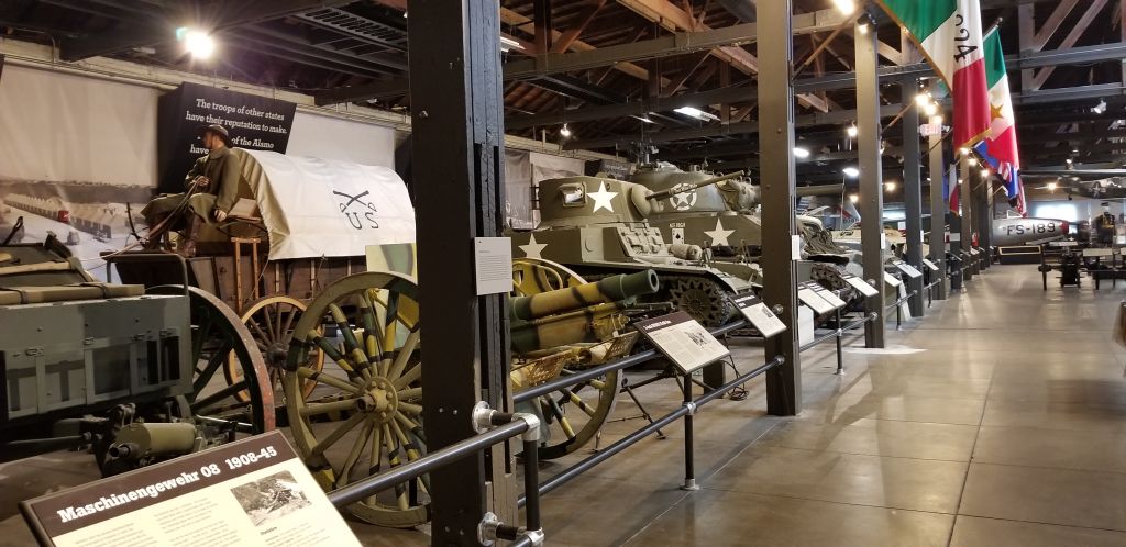
July, 2021
On our way to the coast of Oregon, we stayed in Baker City, Oregon; Kennewick, Washington; and Welches, Oregon (Mount Hood area).
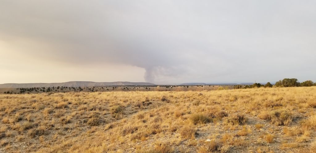
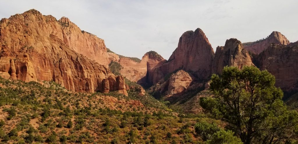
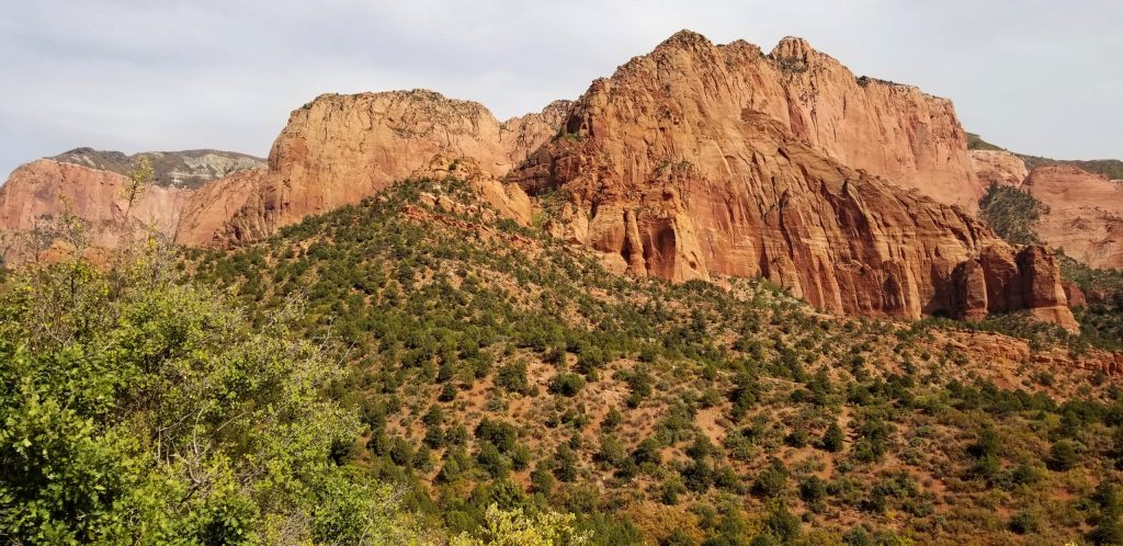
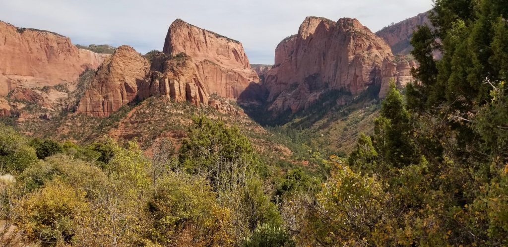
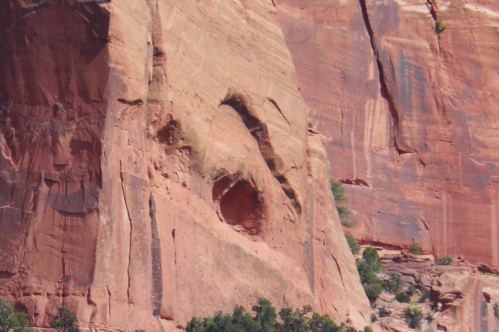
From Kennewick, Washington, we drove along the Columbia River on Highway 14. There is a highway on the Oregon side also, but we preferred the less traveled two lane road along the Washington side of the river.
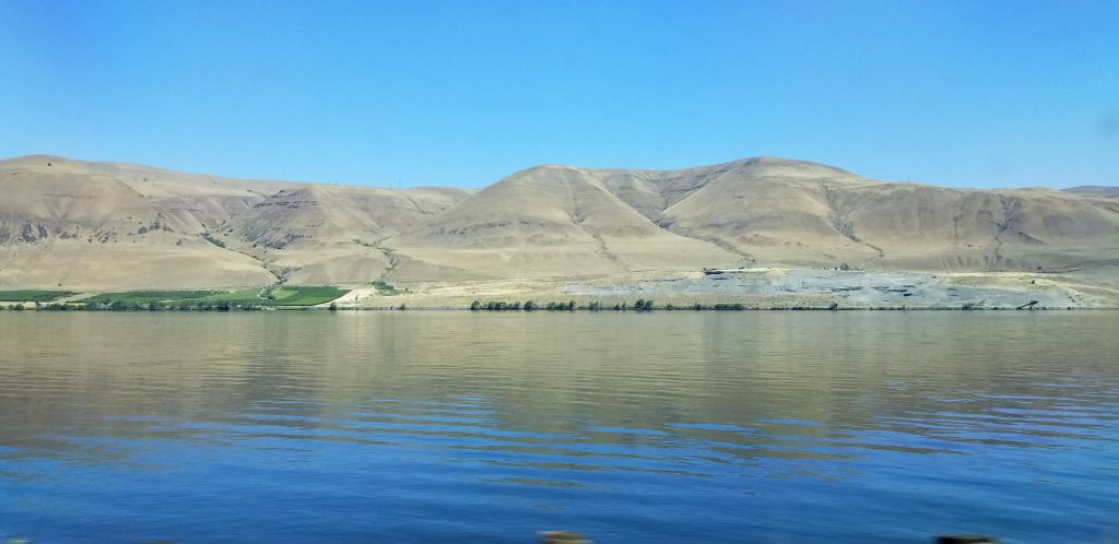
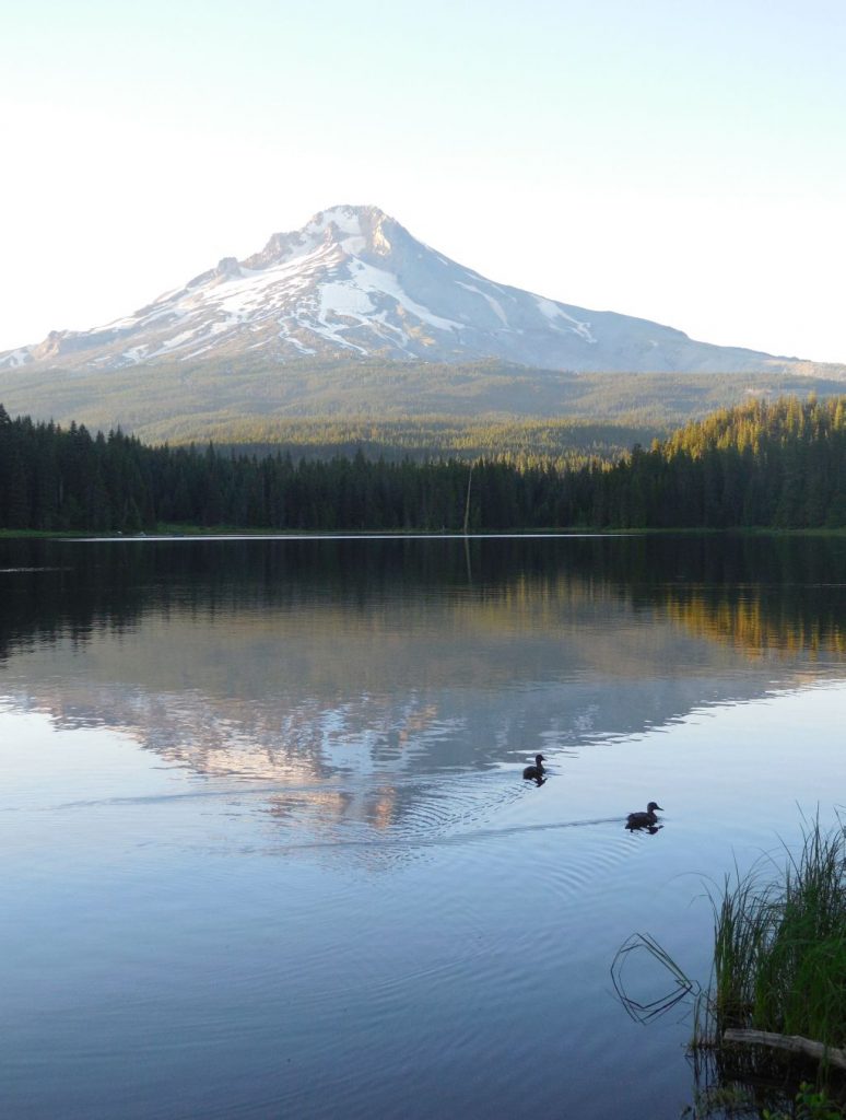
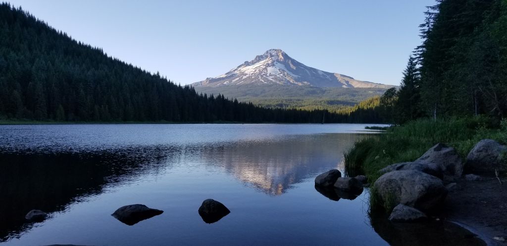
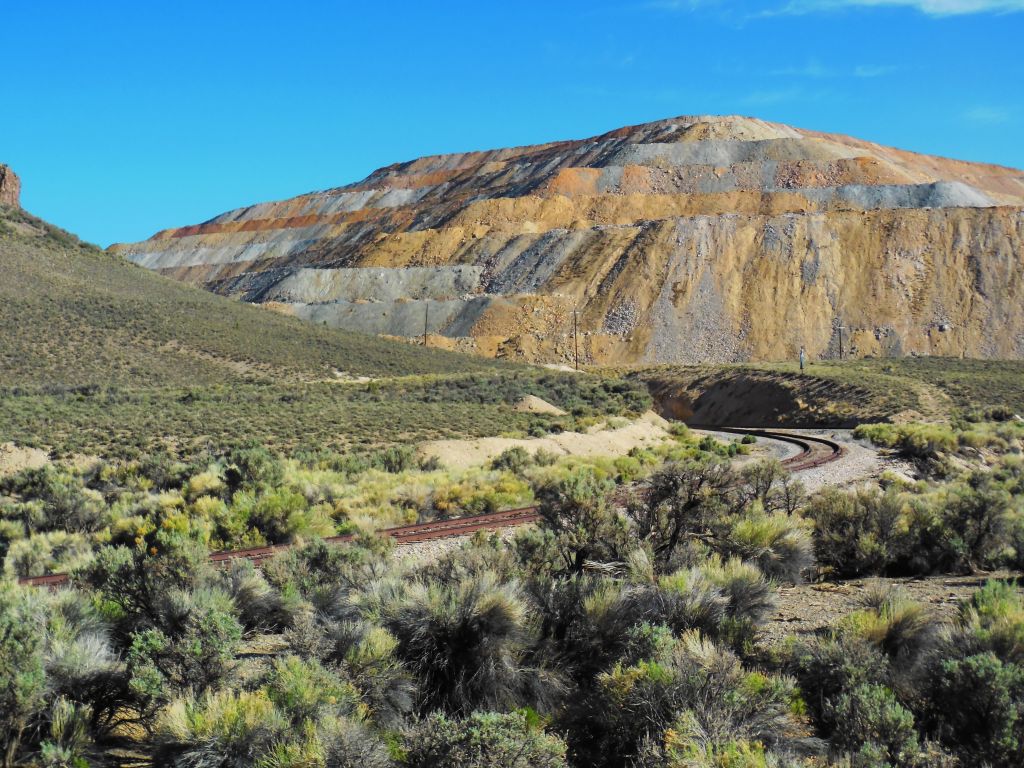
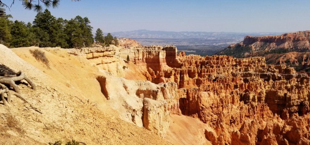
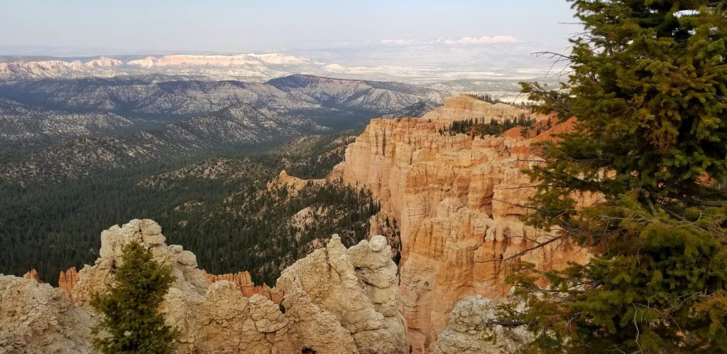
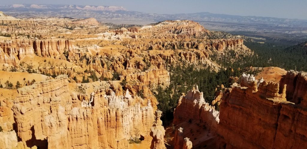
The bare hills and steep canyon walls were impressive. The dry barrenness gave way to trees and greenery as we approached the coastal rain belt. At one point we rounded a bend and in the distance loomed Mount Hood, snow capped and majestic. I’ve seen plenty of mountains, but there is no way to describe this huge mountain that juts up out of nowhere capped with snow in the middle of July. It’s just epic!

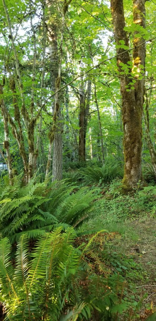
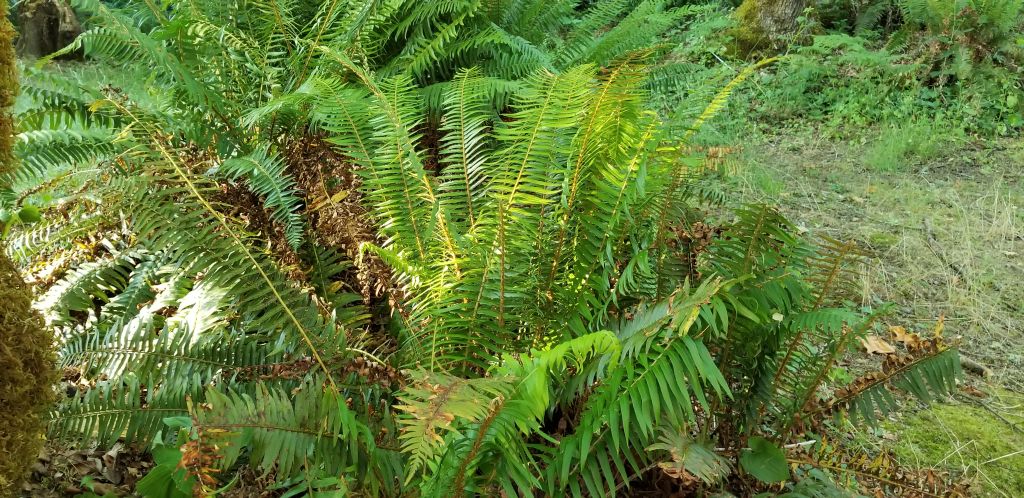
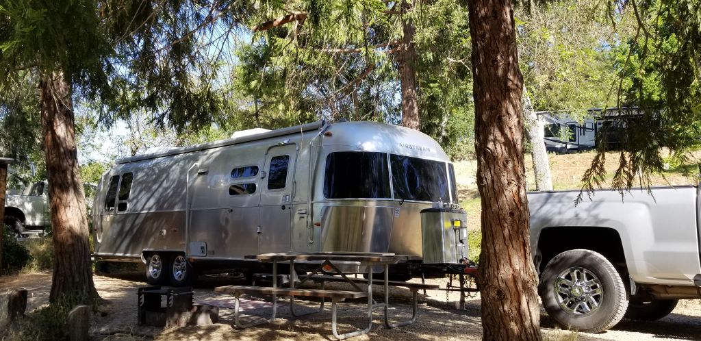
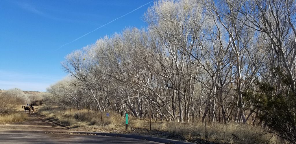
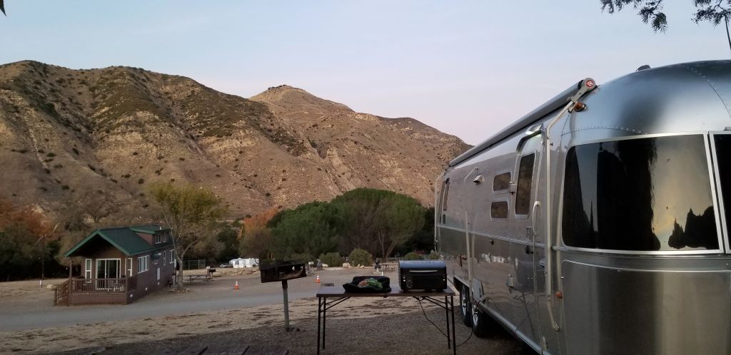
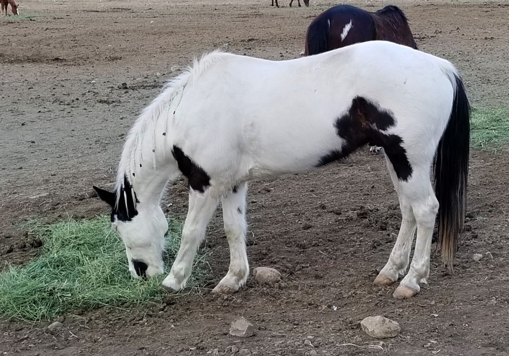
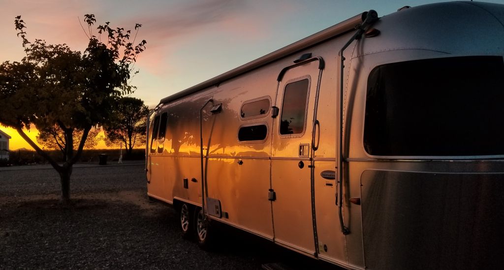
We stayed in one of our Thousand Trails Campgrounds in Welches, Oregon, a little town on the southwest side of Mount Hood. Our campsite was among the trees and lush vegetation. Beautiful ferns were everywhere in between campsites. We were grateful for the tree cover since the temperatures were unusually high–up into the 100’s for a few days.
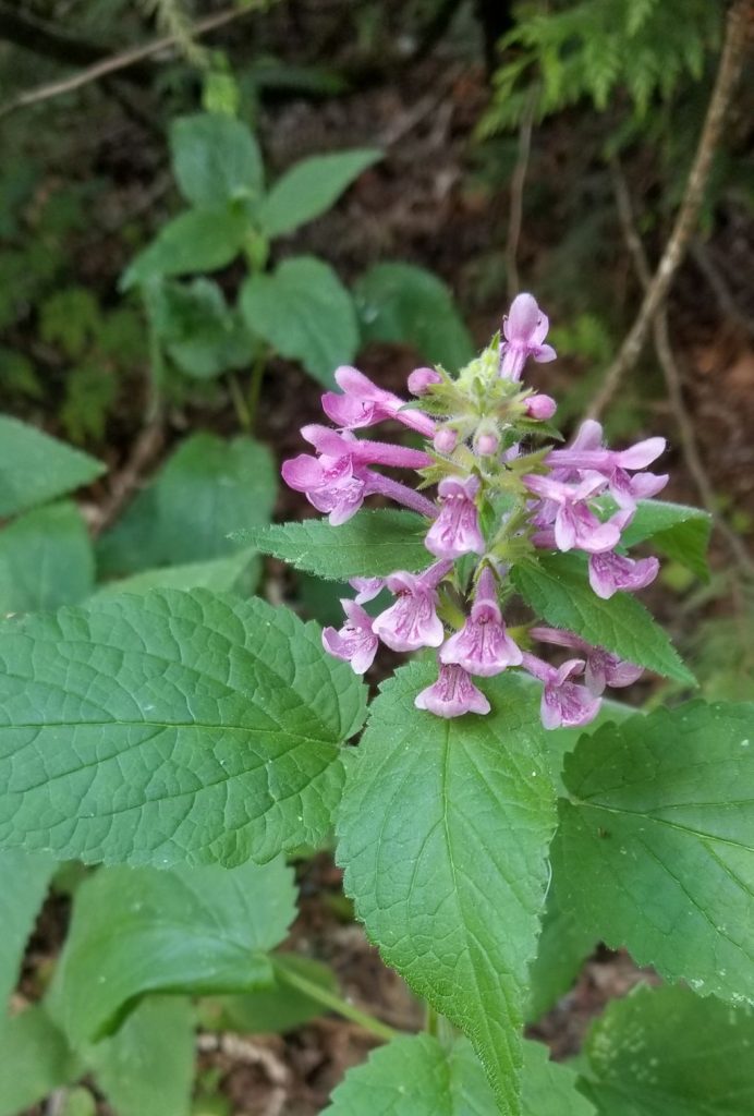
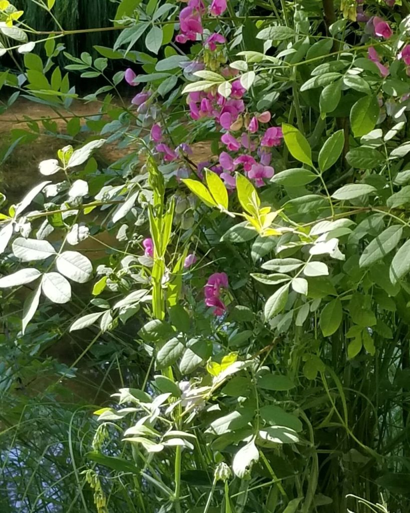
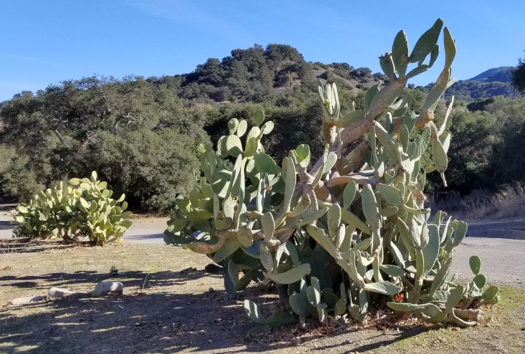
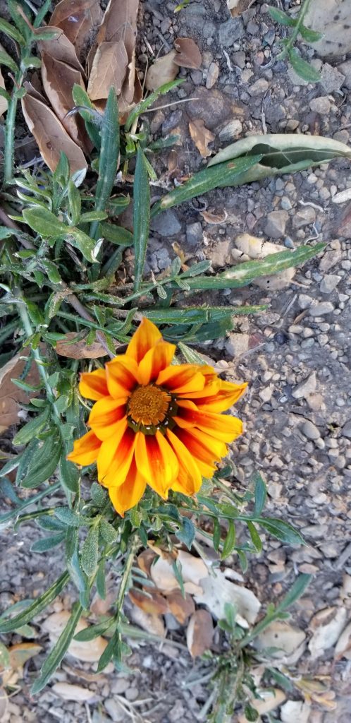
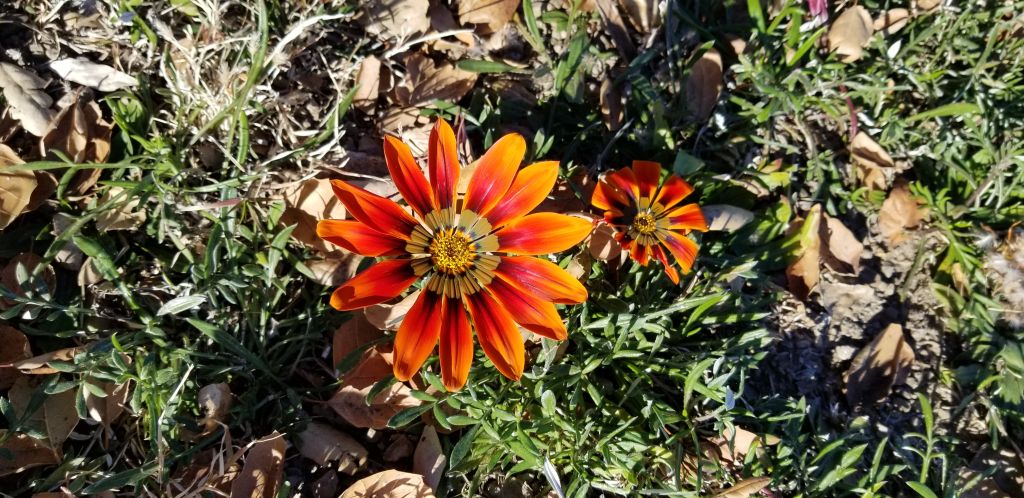
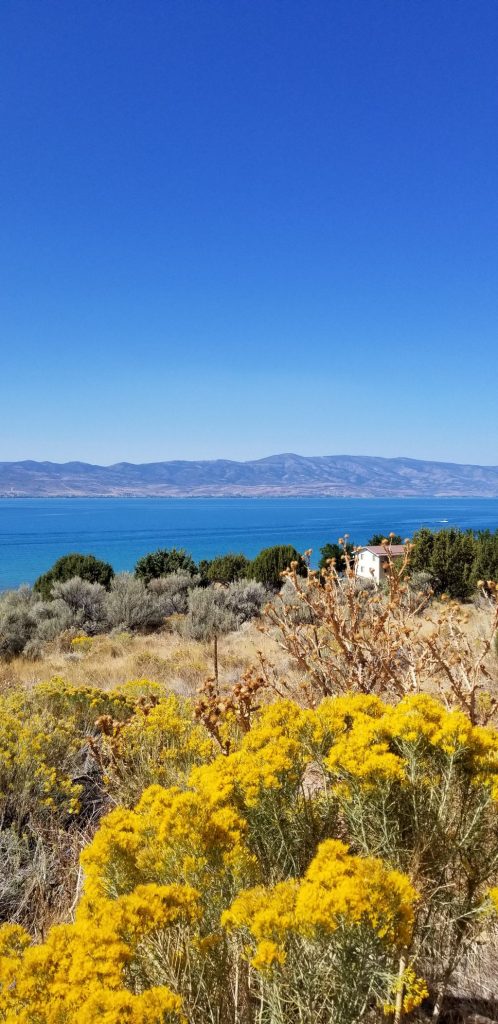
Wildflowers and berry bushes were everywhere.
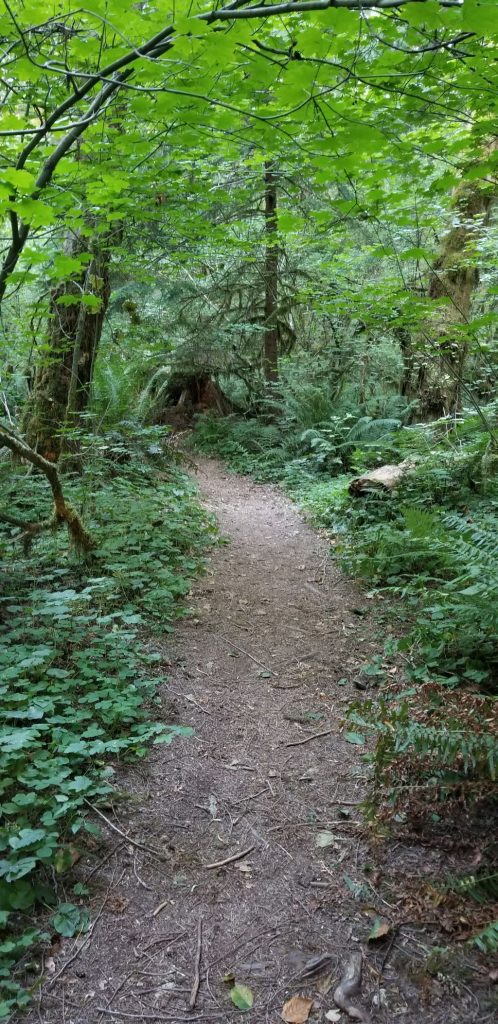
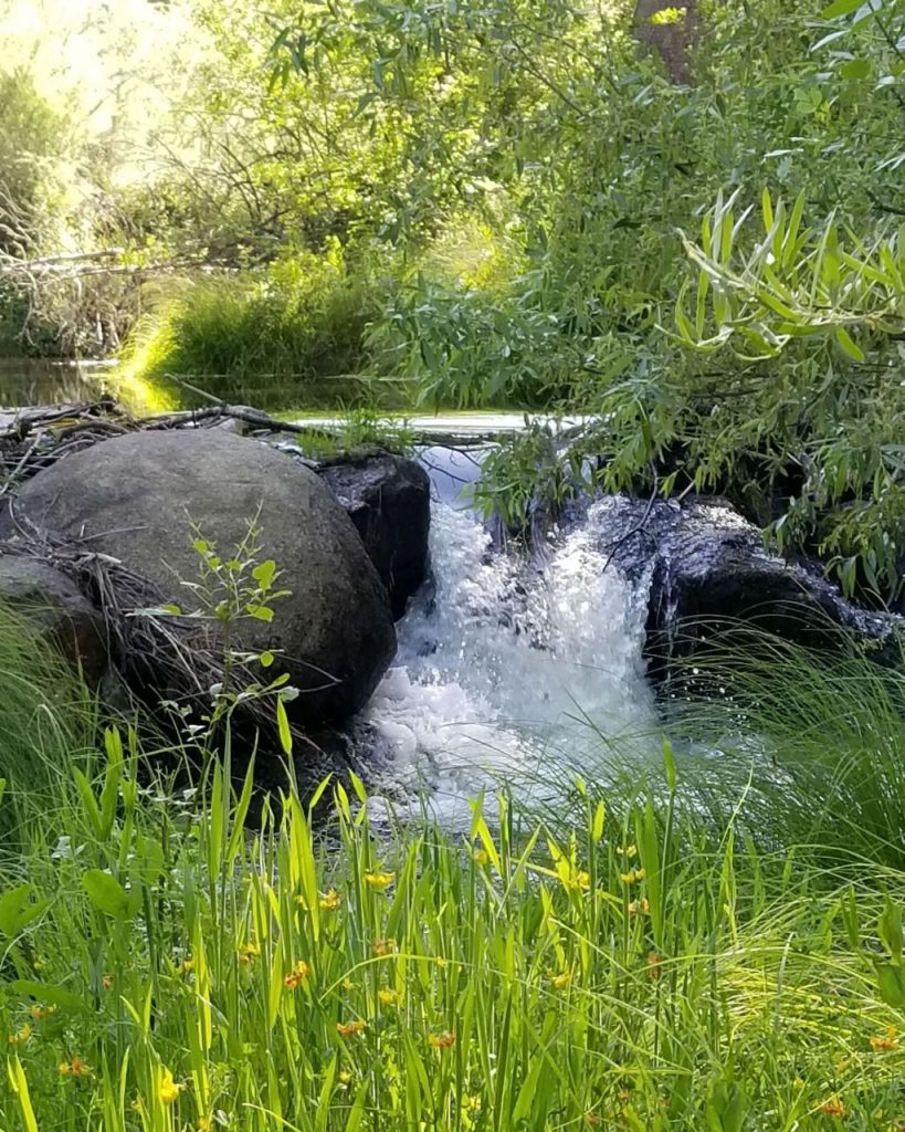
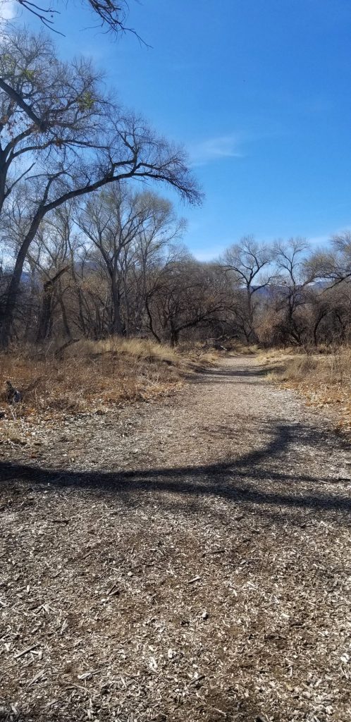
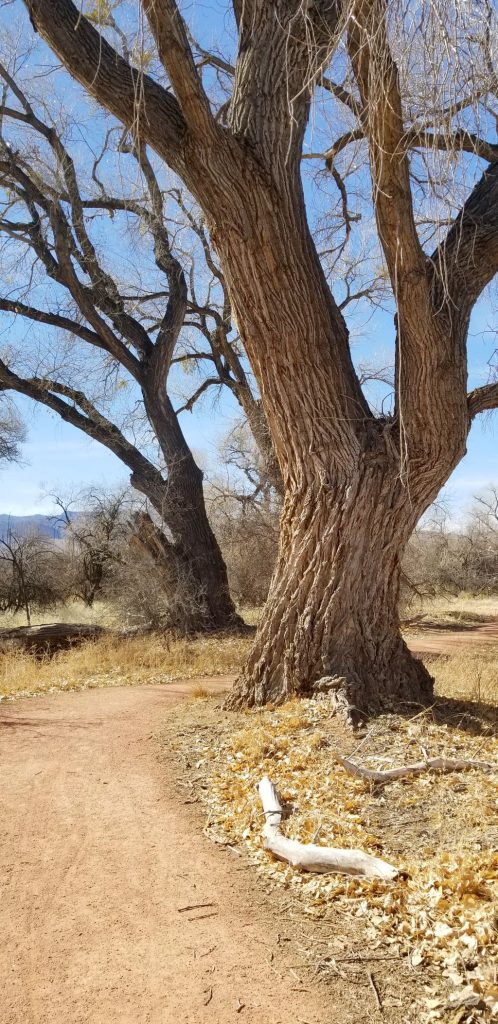
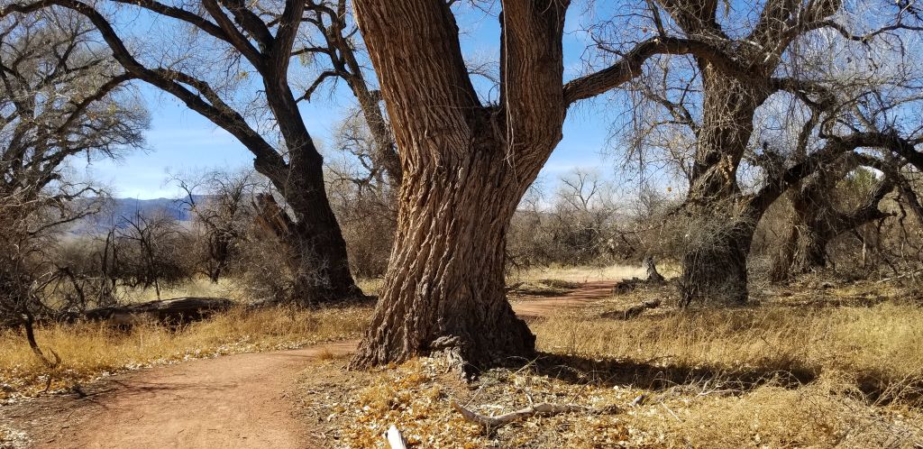
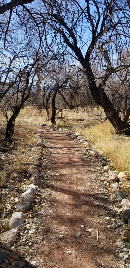
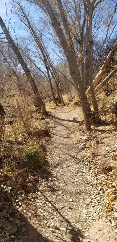
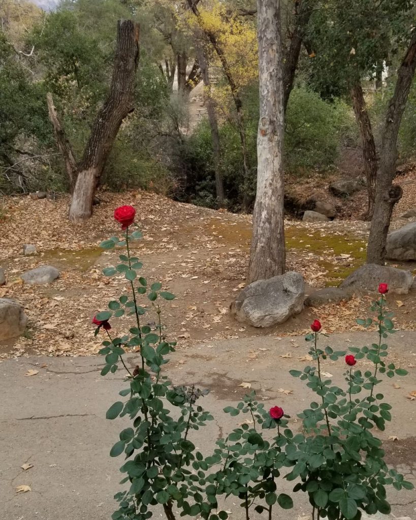
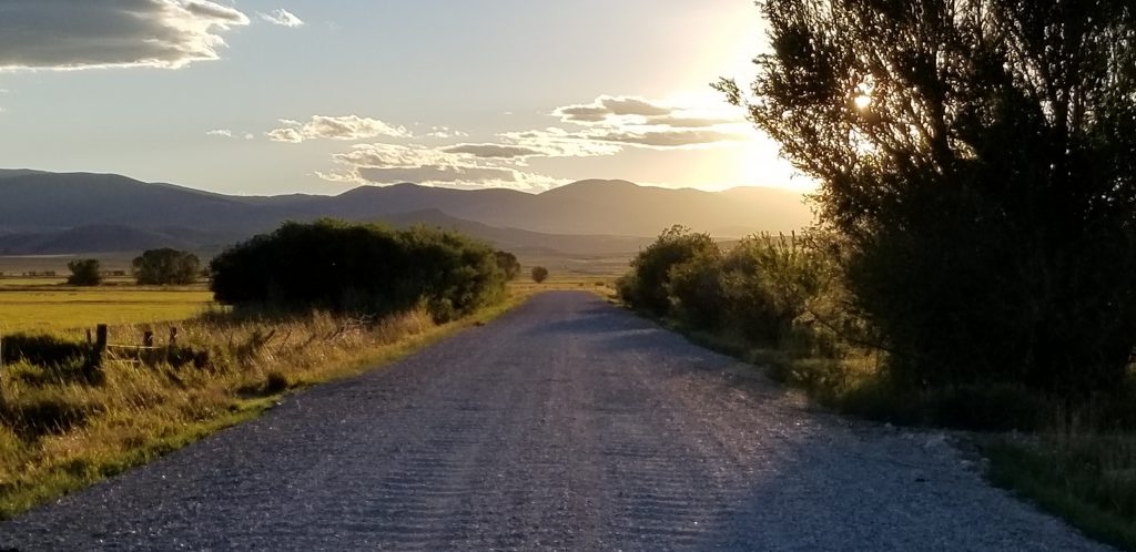
In the evenings, we liked to take walks. One evening we followed a path among the trees.
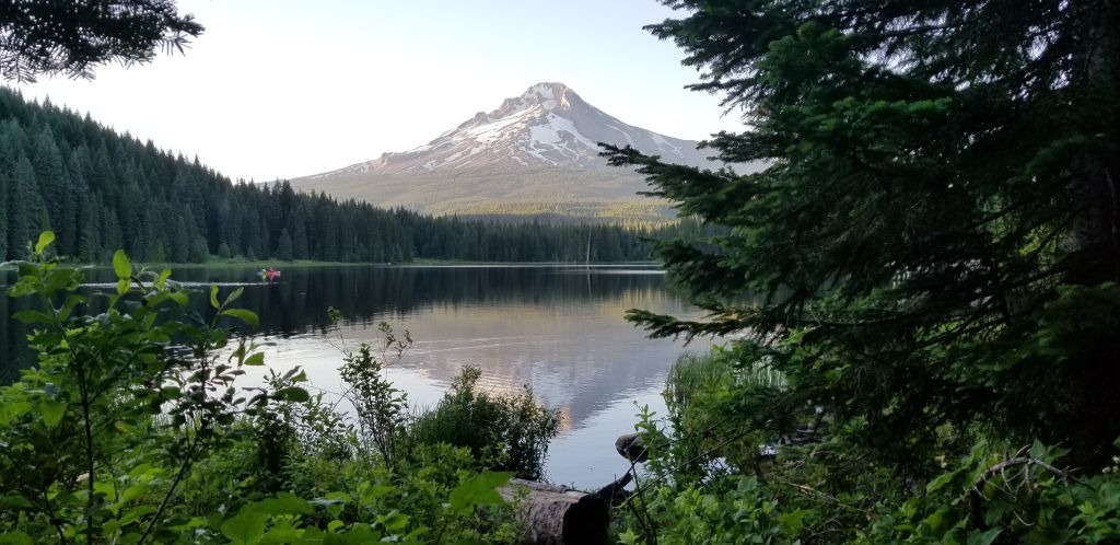
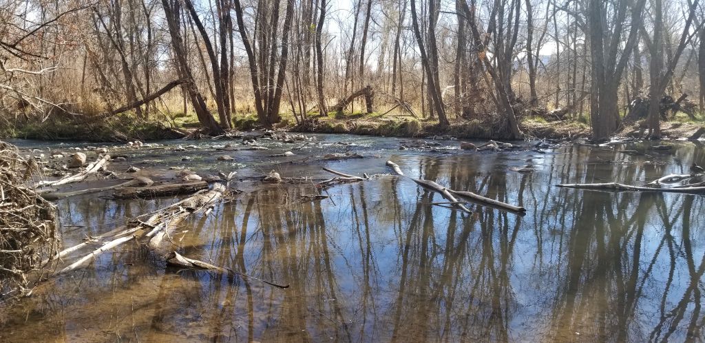
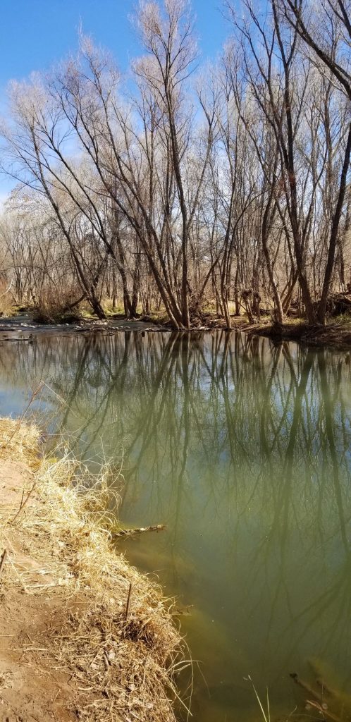
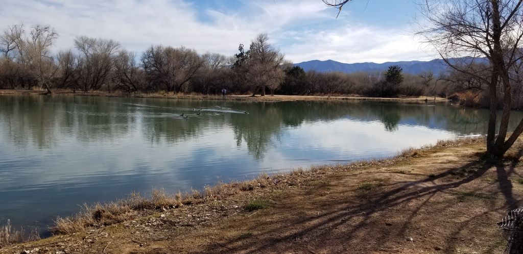
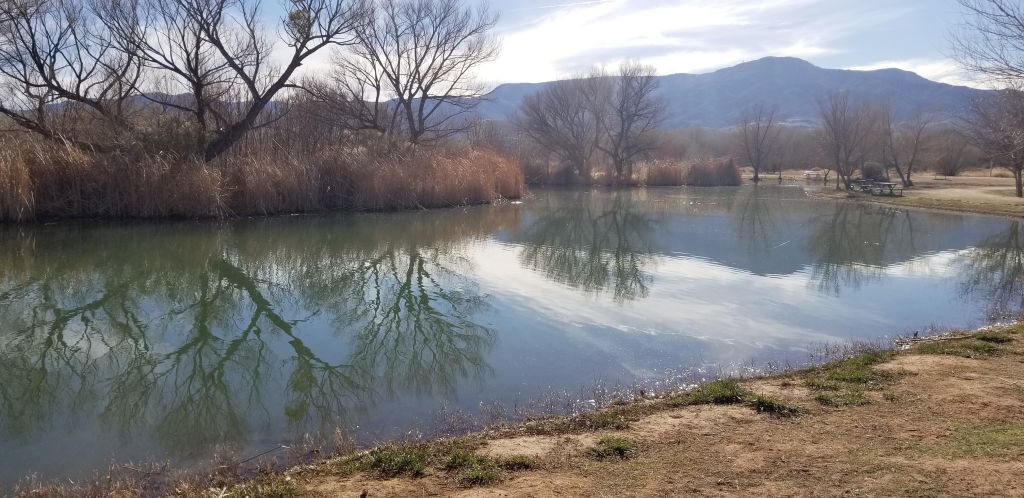
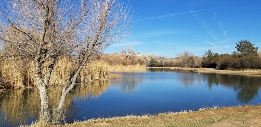
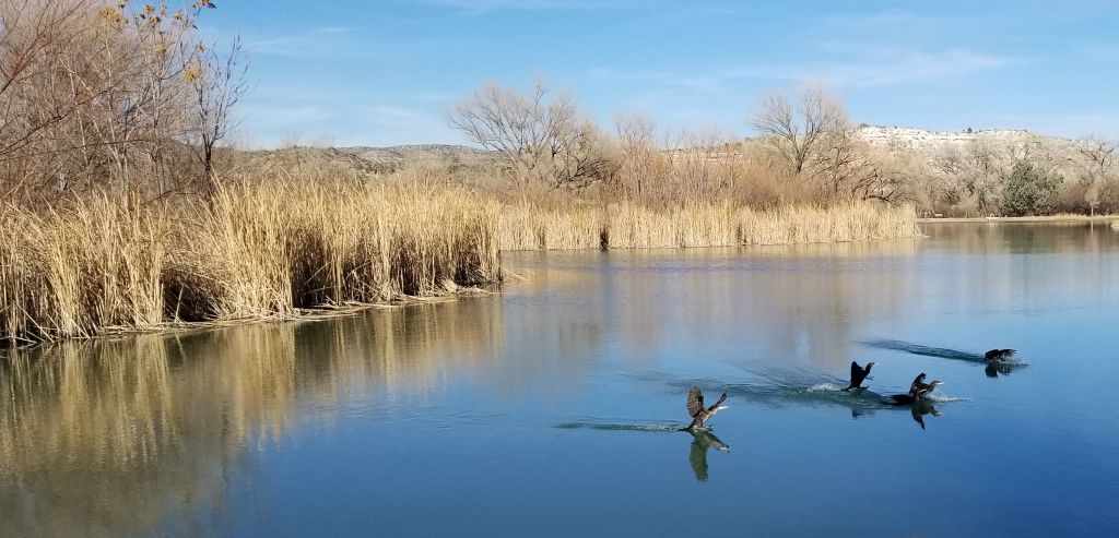
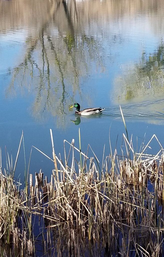
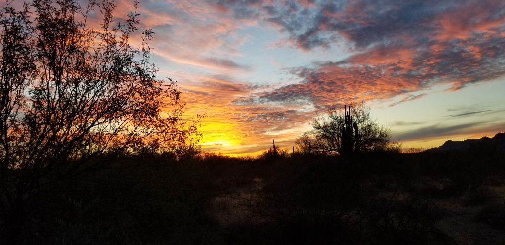
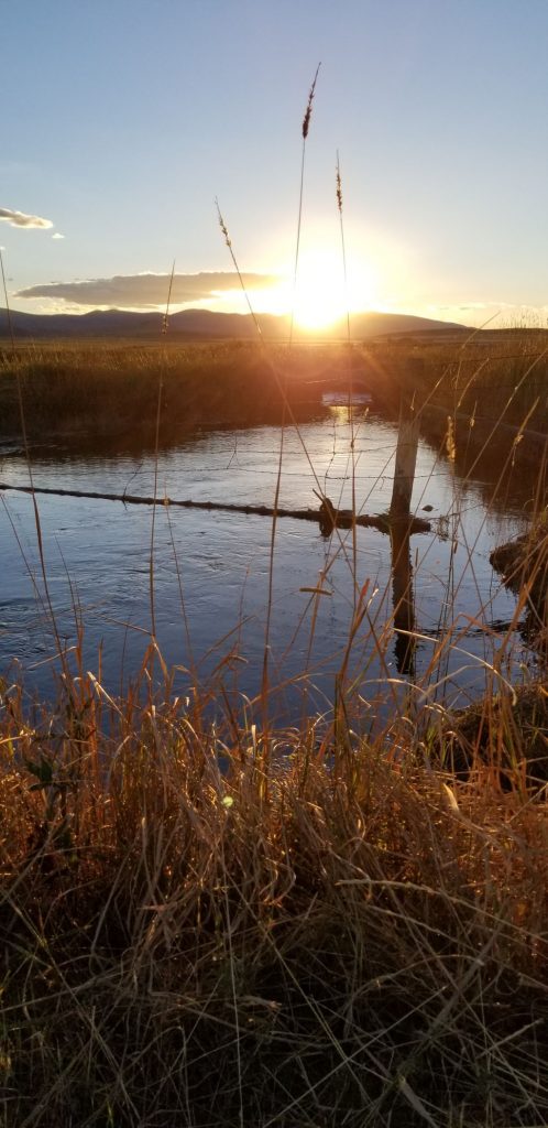
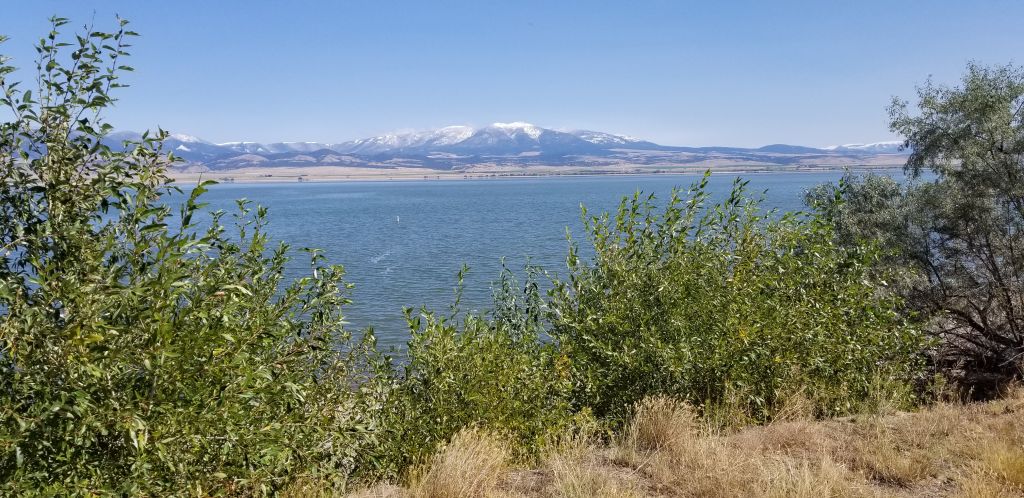
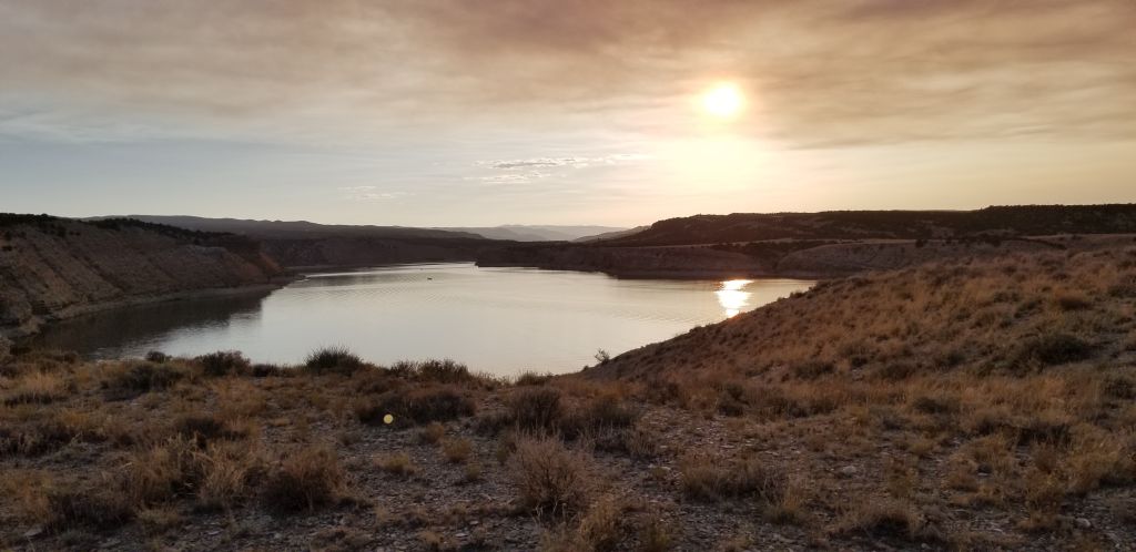
About 15 miles from our campground was Lake Trillium. The first time we went to see the lake, it was crowded with people swimming, fishing, and kayaking. I got a few photos, but the sky was hazy, and the water was choppy, so we decided to go back another time. The second time, we went on a weekday evening right before sunset and had better results.
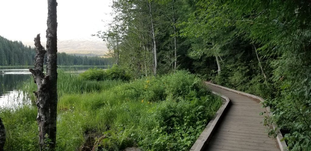
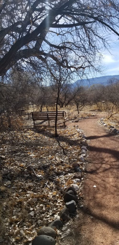
We found a pathway around the lake.
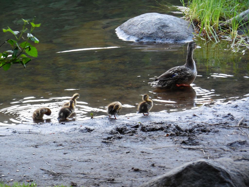
We even saw a mother duck and ducklings.
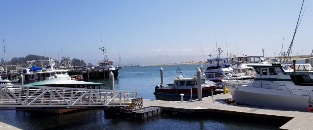
We enjoyed our stay in the Mount Hood area, but it was time to head to the coast for some cooler weather.
