
Several years ago, we visited Canyonlands National Park on the west entrance. The road follows the rim of the canyon where there are epic views of the canyons where one can see for miles. This time we visited the east entrance where we drove around the canyon floor.
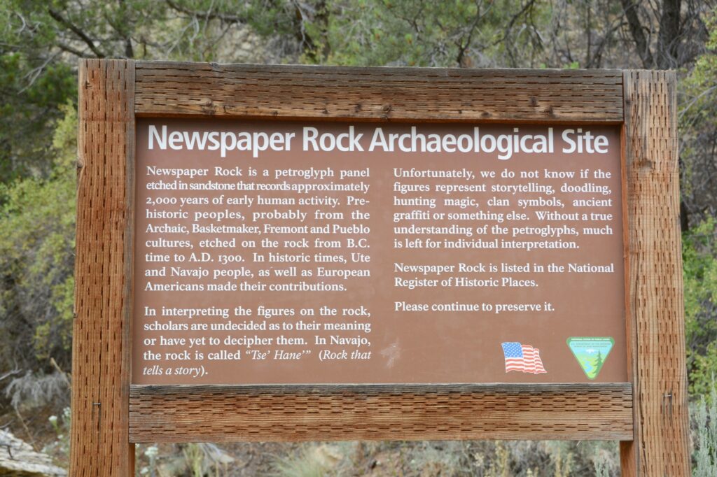
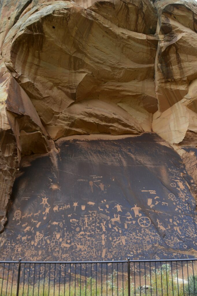
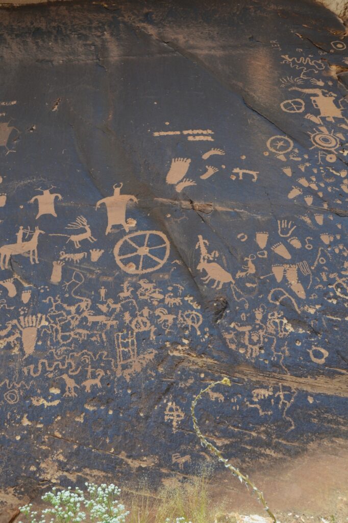
On our way there, we stopped to see Newspaper Rock Archaeological Site. This site is well protected by the overhanging cliff.
It was interesting to me to see that some of the feet drawn on the rock had six toes. It seems having an extra toe or finger was maybe highly valued. Excavations have found six-toed skeletons in Chaco Canyon in New Mexico.
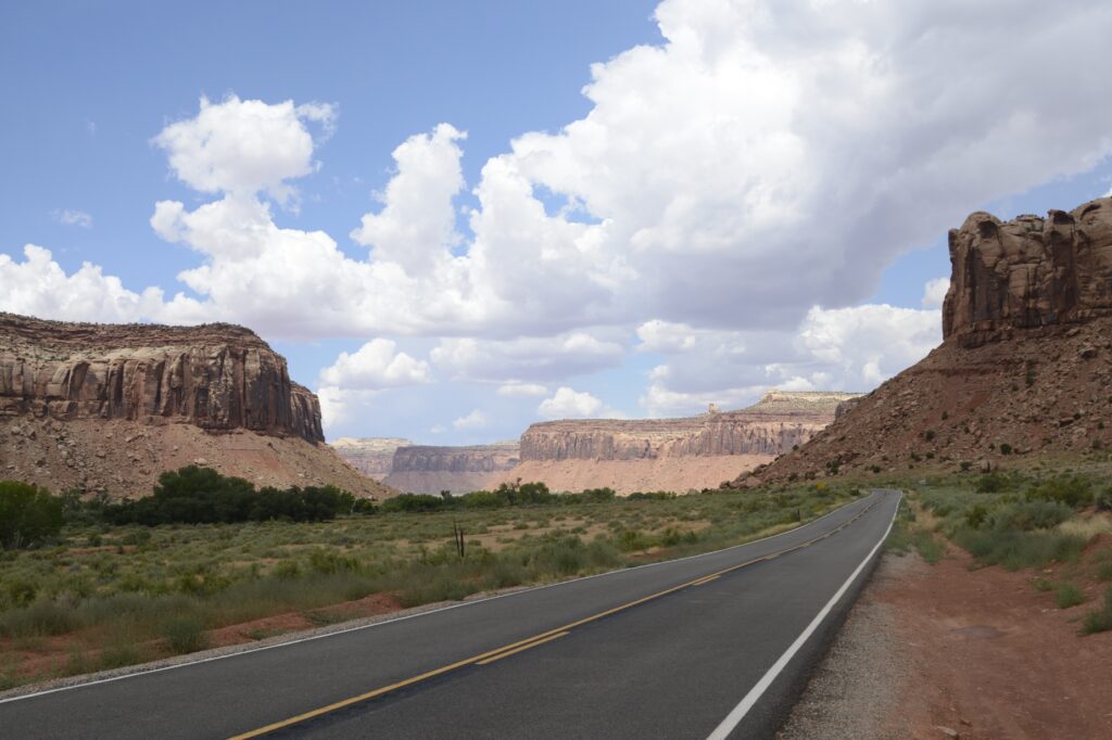
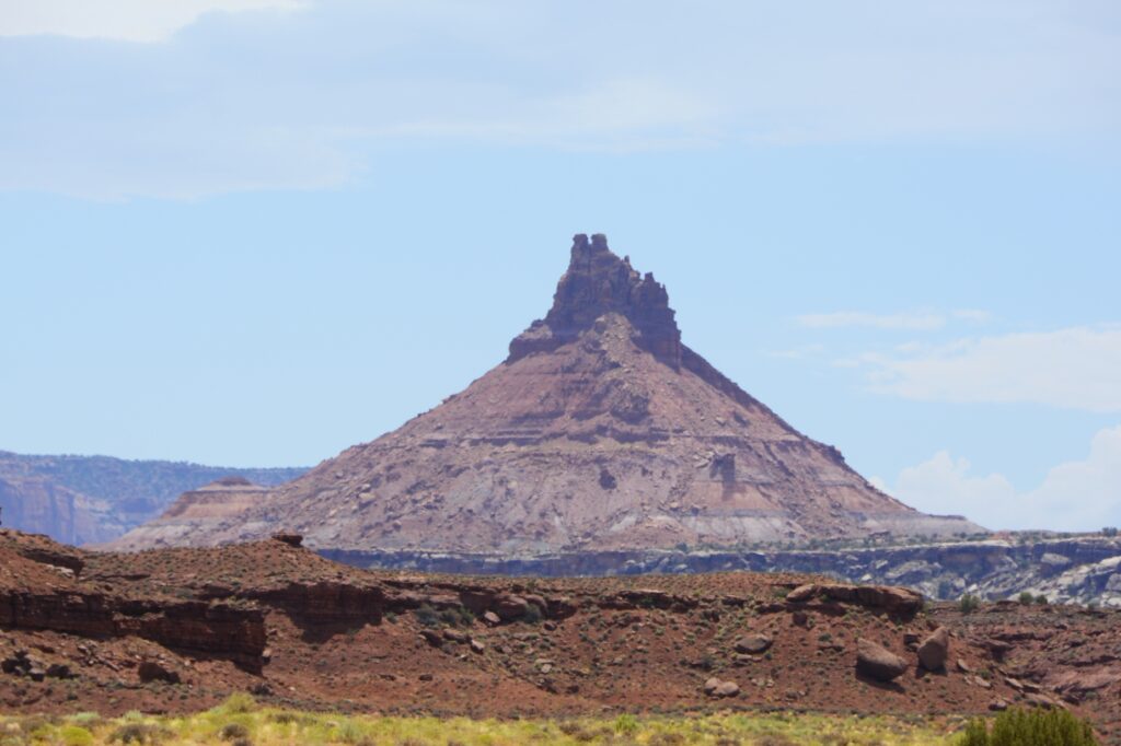
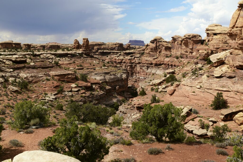
As we drove along the canyon floor on the way to the entrance of Canyonlands, the rock walls towered above us.
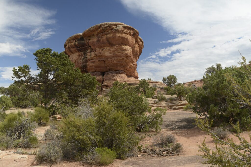
We saw this interesting rock formation along the way.
After driving several miles, we finally came to the entrance. We stopped at the visitors’ center where I found some post cards and a t-shirt.
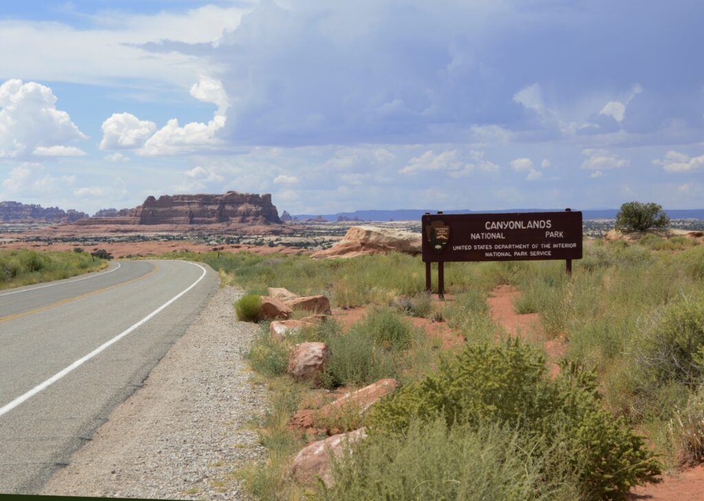
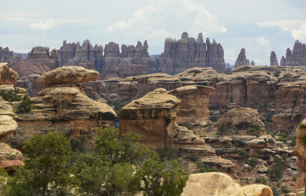
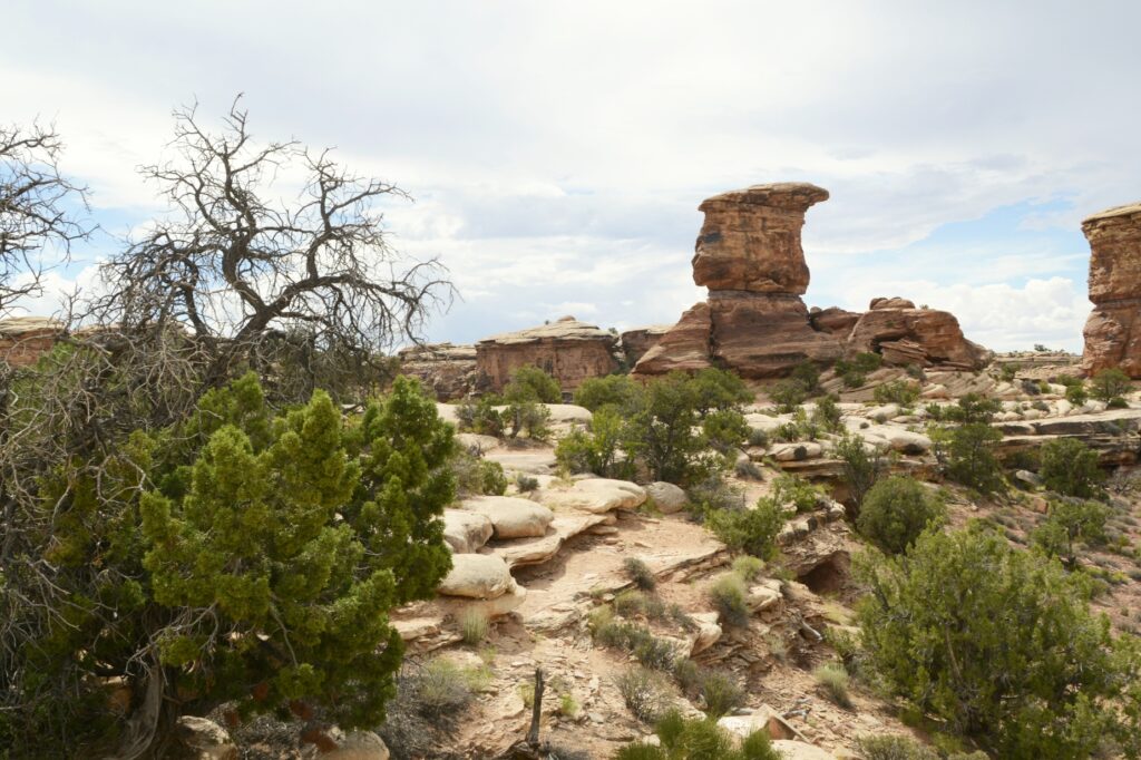
This section of the park is called The Needles because of the colorful spires of Cedar Mesa Sandstone that are prevalent in the area. There is only one road leading in and out of the area. We drove the scenic drive all the way to the end. Our first scenic viewpoint was the Wooden Shoe Arch Overlook. I think it was appropriately named.
Our time in southeastern Utah was during the monsoon season of August. Every day a rain storm would bring clouds and often times rain.
We drove through the campground at the park just to get an idea of what the sites looked like. There were no hook ups and the sites were very small. Water was available only seasonally at the restroom facilities.
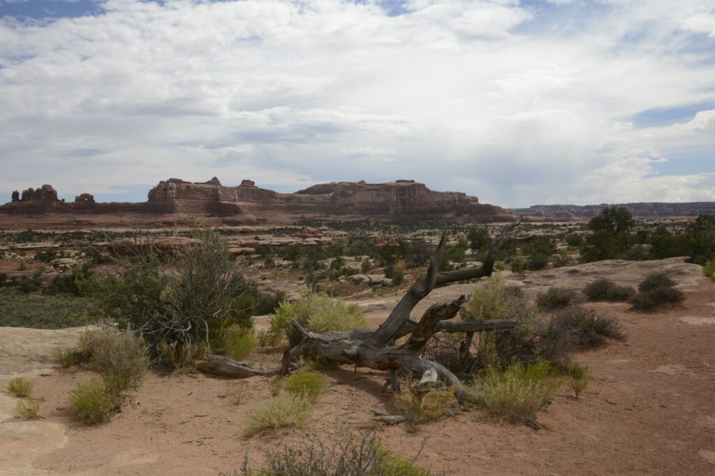
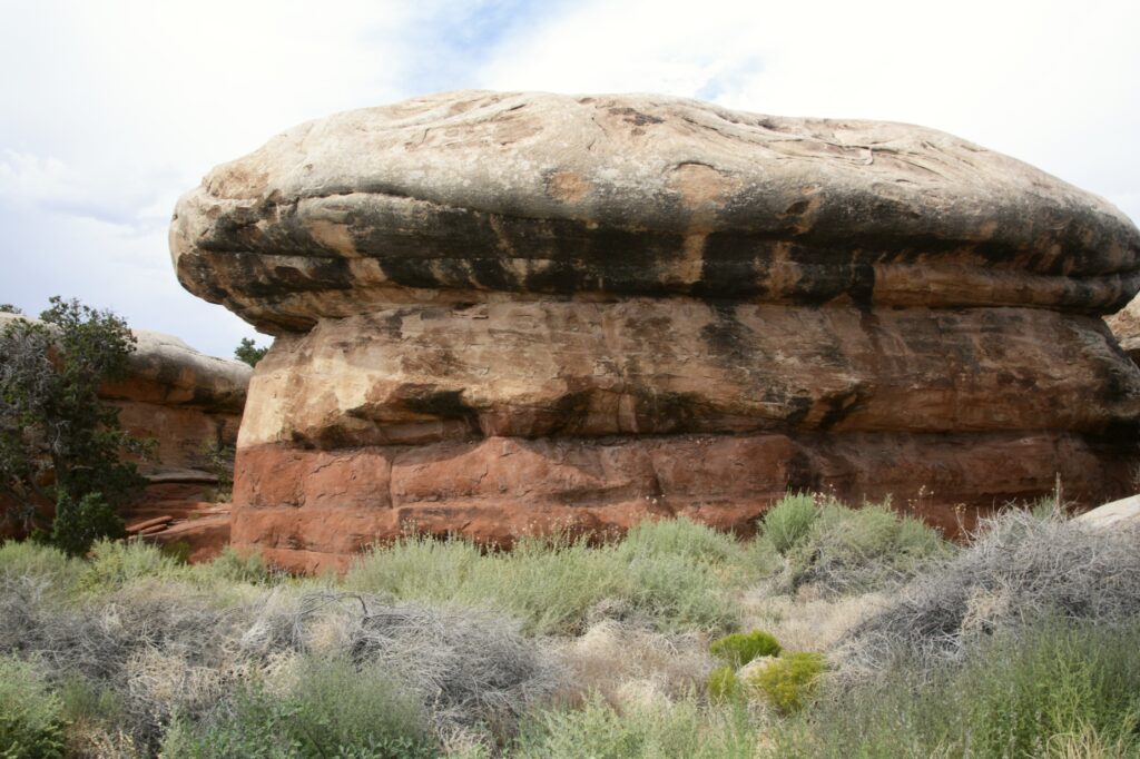
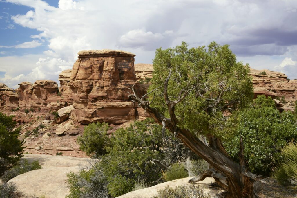
The rock formations around the campground looked like giant toadstools.
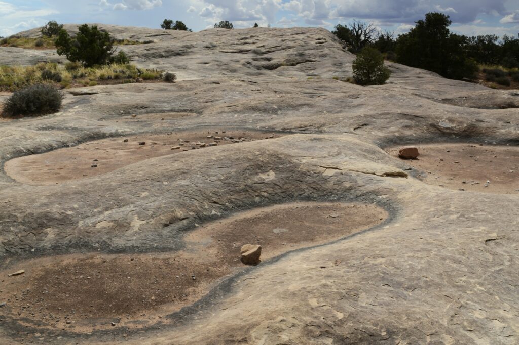
We drove to Pothole Point where we saw the potholes that collect water when it rains. Even though they were dried up, there is a whole ecosystem with aquatic life that comes alive when the rains come. It’s important not to step in the holes because of that. They are a source of water for the wildlife in the rainy season.
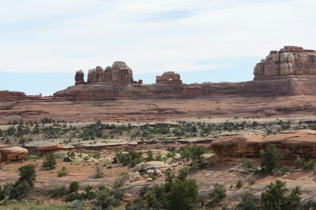
At the end of the road is Big Spring Canyon Overlook. It was here that we got a good look at the pinnacles from which the name “The Needles” comes from.
The Utah Juniper tree is a hearty tree that can survive the harshest of conditions due to its extensive and deep root system. The roots can grow 25 feet deep and spread out for 100 feet from the tree.
Although The Needles section of Canyonlands National Park was interesting and beautiful, it didn’t compare with the views from the western entrance. I was mildly disappointed. But I’m glad we got to see this area of the park.
We drove back to our campground in Monticello, Utah. That spot turned out to be a perfect base camp for visiting all the attractions of southeastern Utah. We still had at least one more area to explore, but I will save that for the next blog.
“No one is as holy as the Lord! There is no other God, nor any Rock like our God.” I Samuel 2:2