
It was a cloudy morning when we left Monticello, Utah, to drive to Monument Valley across the Arizona border. It would take us nearly two hours to get there. I was wishing that the sun would pop out sometime during the day.
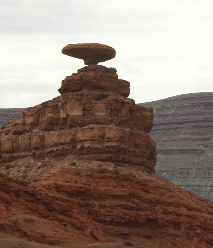
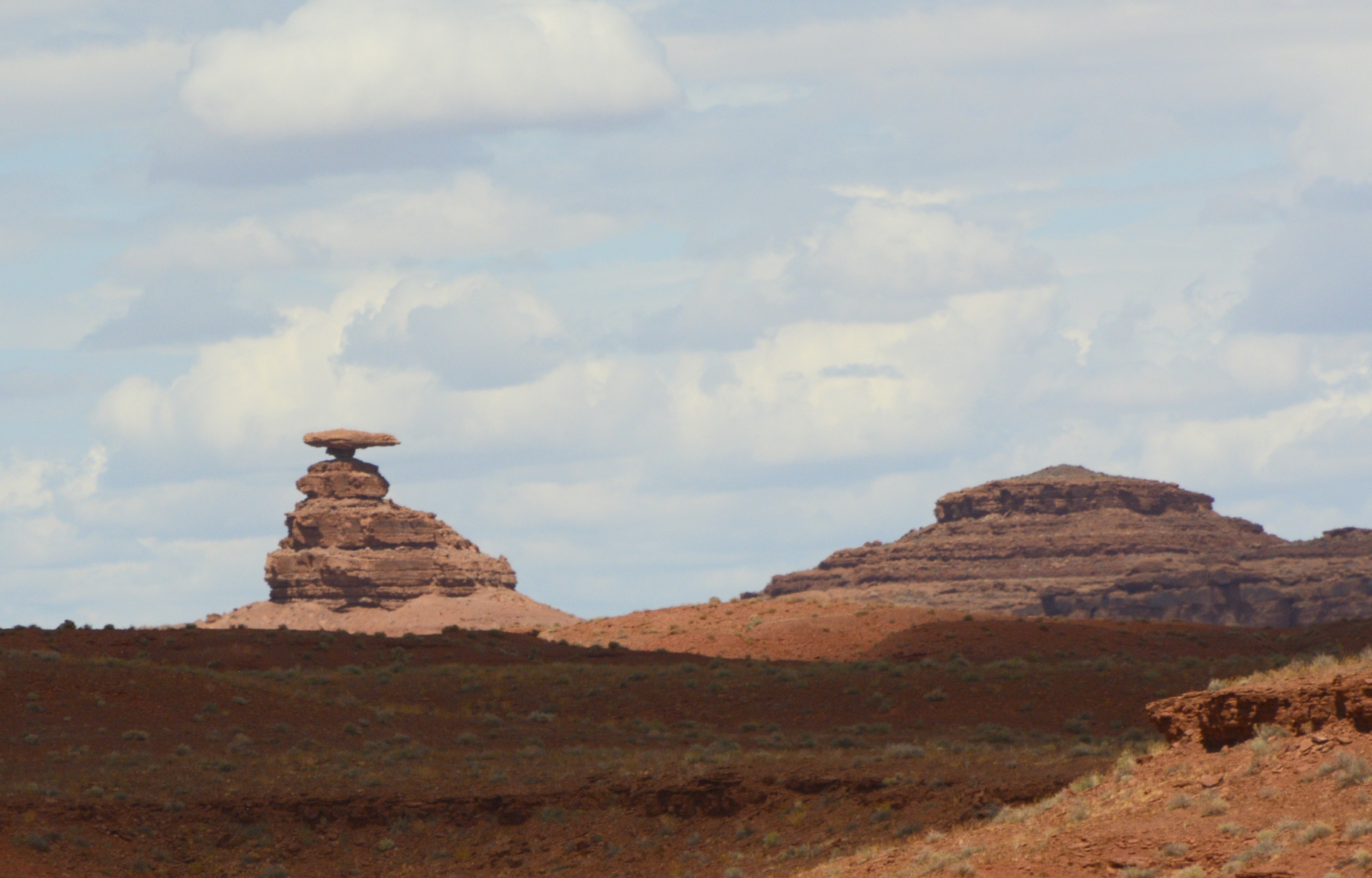
Along the way, we passed the little town of Mexican Hat, Utah, and the rock formation which gave it its name. Doesn’t it looks like a man sitting on a rock wearing a large Mexican hat?
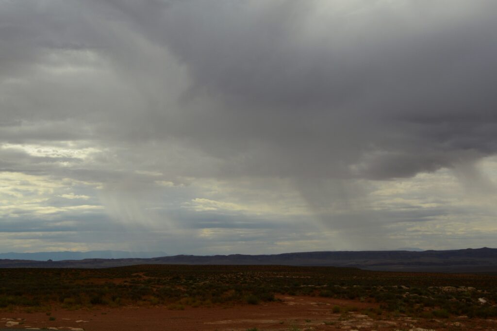
As we traveled further, we could see rain in the distance. I was hoping for some sunshine, and it wasn’t long before I got my wish.
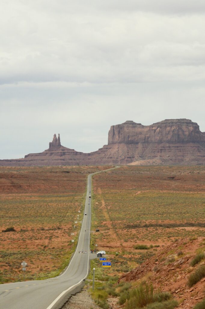
A famous tourist spot outside Monument Valley is the location of a scene from the movie “Forrest Gump.” We didn’t get there early enough to beat the crowds. People were standing in the road, sitting in the road, lying in the road, blocking the road—all just to get a photo. It was a mess.
I just wanted a photo of the road leading up toward the mountains–without all the people. It turns out that was impossible. So I settled for a less than perfect photo.
As we got closer to our destination, we could see some of the classic Monument Valley rock formations sticking up from the desert floor. At the same time, the sun began to peek out from the clouds.
Monument Valley is located on Navajo Indian Reservation. It is owned and operated by the Navajo Indian Tribe.
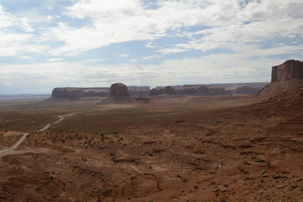
We first went to the Visitors’ Center. The Visitors’ Center is situated overlooking Monument Valley. We could see the road we would travel, winding its way across the desert floor.
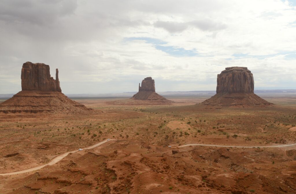
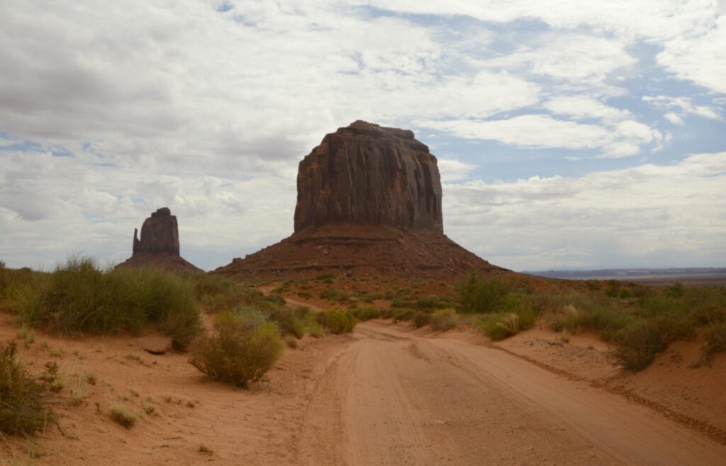
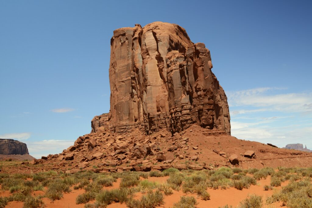
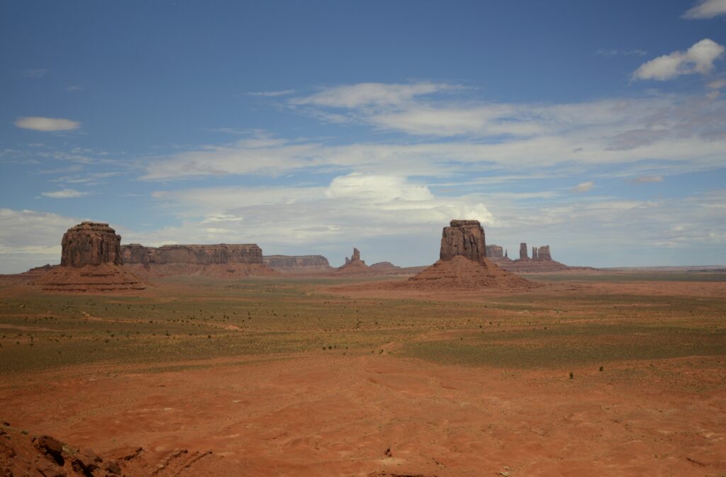
The balcony at the visitors’ center is one of the best places to get photos of the valley. Seen below are the classic “Mittens” with their “thumbs” sticking out of the sides, and Merrick Butte (on the right).
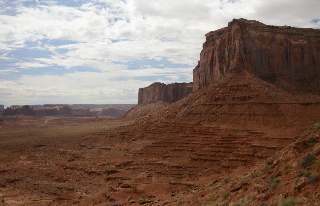
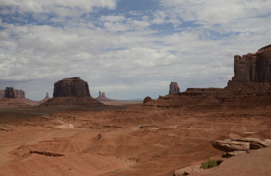
A four-wheel drive vehicle is recommended to drive the 17 mile loop. The first part of the road is a series of very steep and rutted switchbacks. Even in a 4WD truck, it was a rough ride. The speed limit was 15 mph, but I never got above 7 or 8 mph on that terrible road. It was dusty and bumpy. Our truck was coated with a fine layer of red dirt by the time we were done.
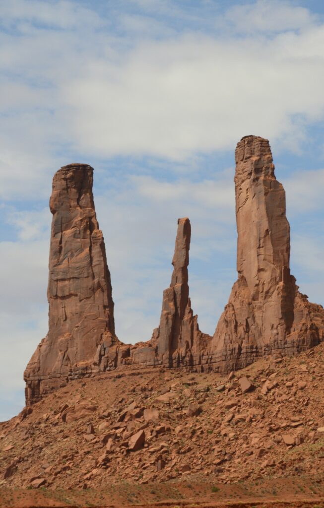
There are eleven marked viewpoints along the drive. The names describe the rocks, if you have an imagination.
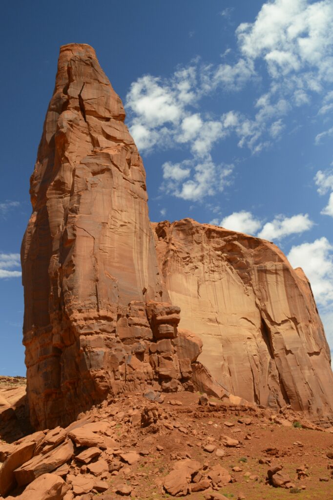
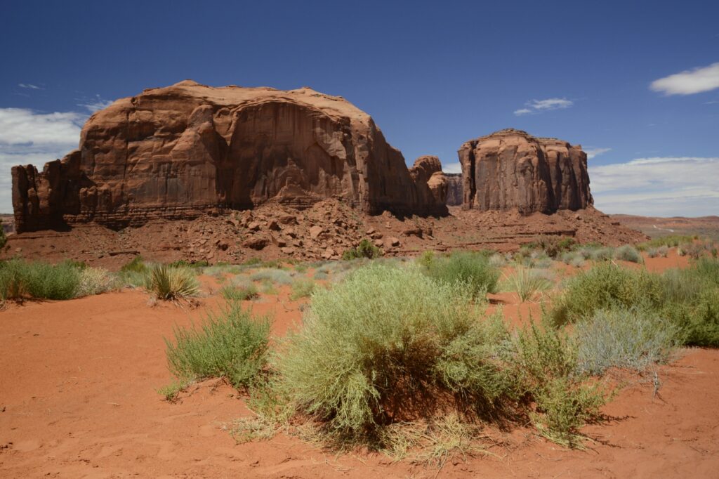
Three kinds of formations dominate the valley: mesas, buttes and pillars.
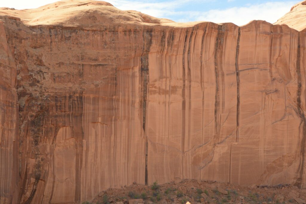
The hard top layers of the buttes and mesas called caprock resist weathering and erosion, but the softer sandstone layers below are eroded away by rain, snow, wind and ice. The debris that falls down the sides is known as scree or talus.
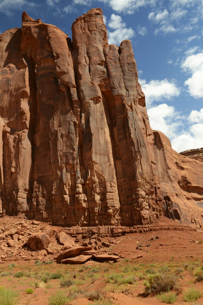
The rock walls have many interesting colors probably from minerals in the rocks and water.
As the day progressed, the sun broke through the clouds. We had blue skies with puffy white clouds.
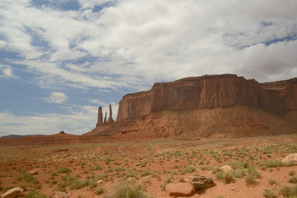
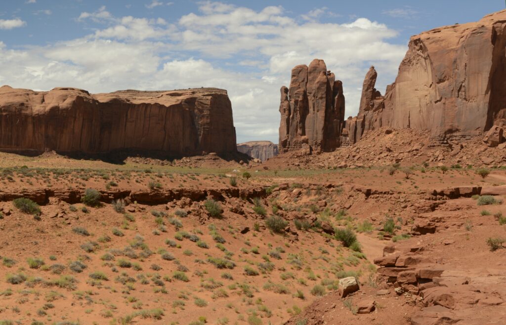
Many western movies were filmed in Monument Valley. One of the iconic scenes is John Ford’s point as seen below. You may have seen this viewpoint in movies like “The Searchers” with John Wayne.
At this viewpoint, there was a Navajo Indian available to take photos of tourists sitting on a horse, for a price, of course.
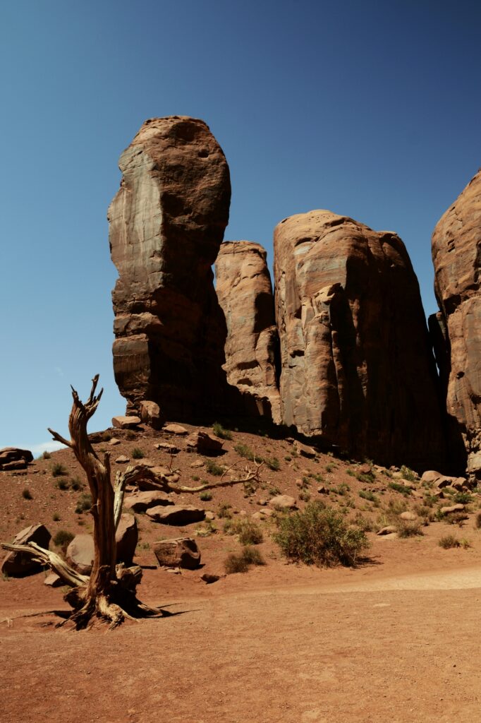
On our way to the Artists Point, was Thumb butte. I thought it was a pretty good description of this rock formation. I give it a thumbs up!
The “window” between these rocks looks out on a large plain called Artists’ Point. The road leads to where you can get a view of the valley on the other side.
Views like this have made Monument Valley one of the most photographed places on earth.
The complimentary colors of the red rocks and green shrubs along with the blue sky inspire all kinds of artists, including me.
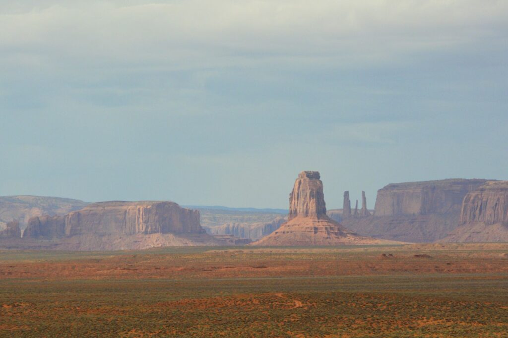
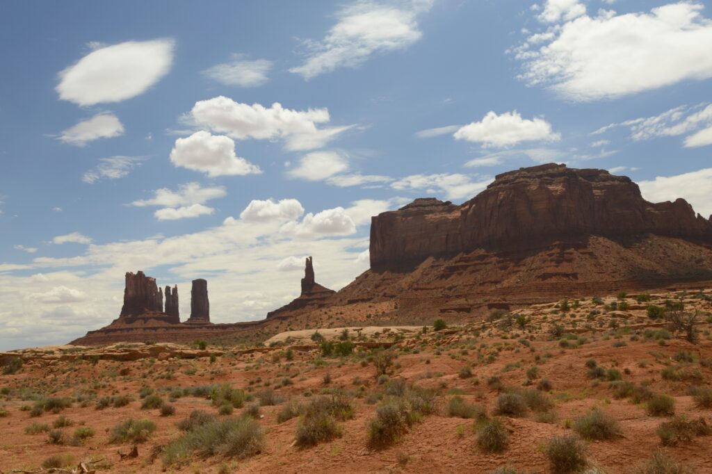
If you don’t have time to drive the seventeen mile road, there are still many great views from outside the park. These photos were taken from the highway. The blue sky and clouds made a beautiful backdrop against the red rocks.
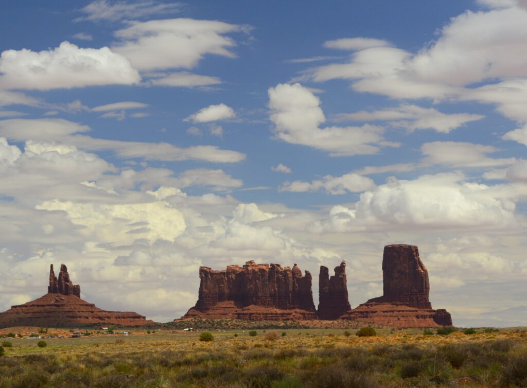
In the photo below, these formations from left to right are called King on His Throne, Stagecoach, Bear and Rabbit, and Castle Butte. Which one is your favorite?
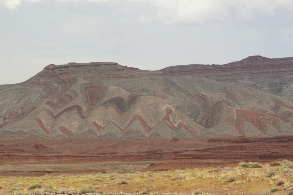
On our way back home, I noticed this mountain near Mexican Hat, Utah. Notice the folds in the rock. The rock had to be soft when it was folded because the rock would break if it was solid like it is today. Is it likely that these layers were laid down during Noah’s flood, and folded as the mountains were raised? Wouldn’t the layers have been worn away by erosion if it had taken millions of years for the layers to form as scientists tell us? Food for thought.
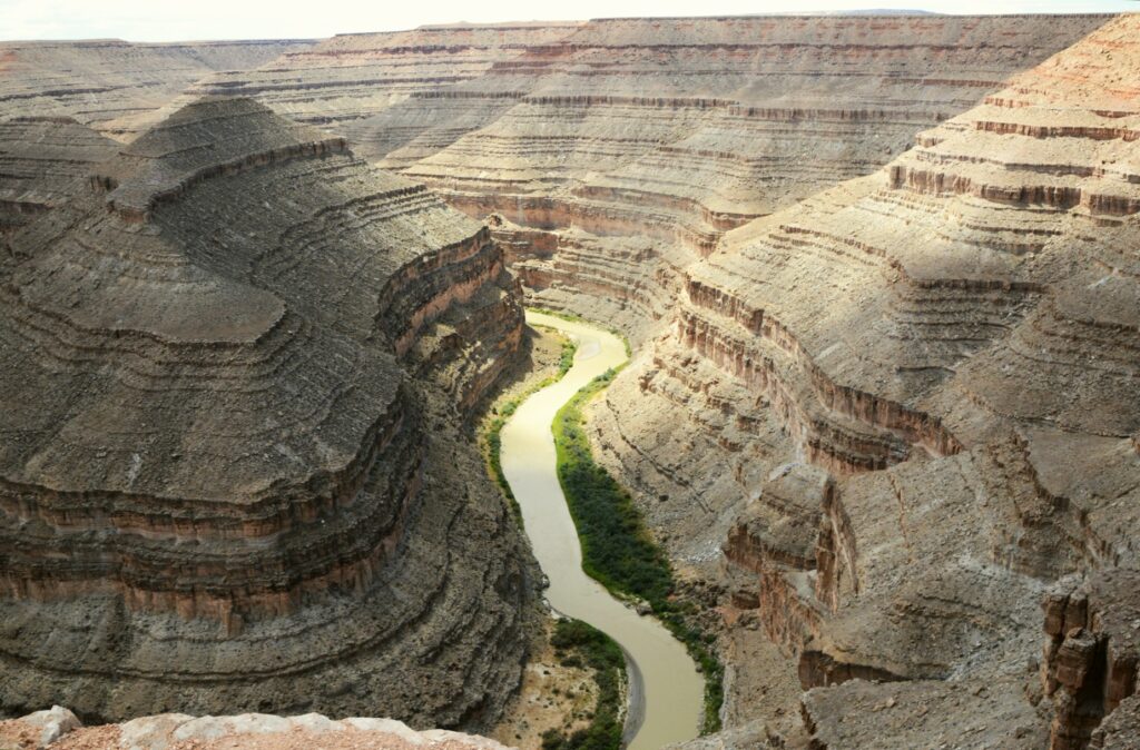
Goosenecks State Park
On our way back to Monticello, Utah, we made a detour to visit Goosenecks (Utah) State Park.
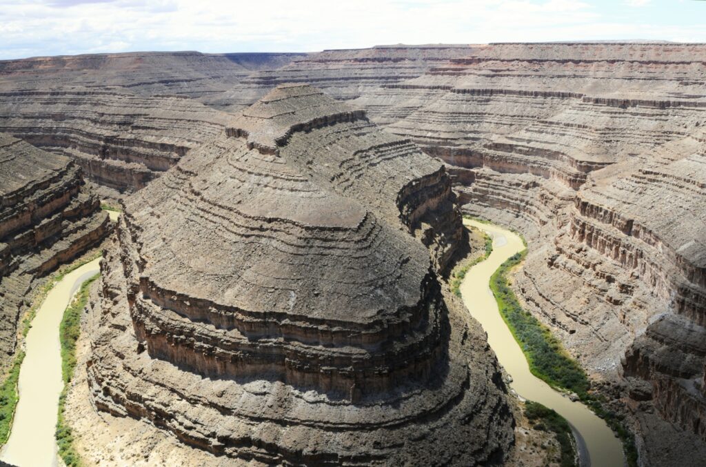
This small 10 acre Utah state park overlooks the San Juan River meandering and cutting a gorge of 1,000 feet deep.
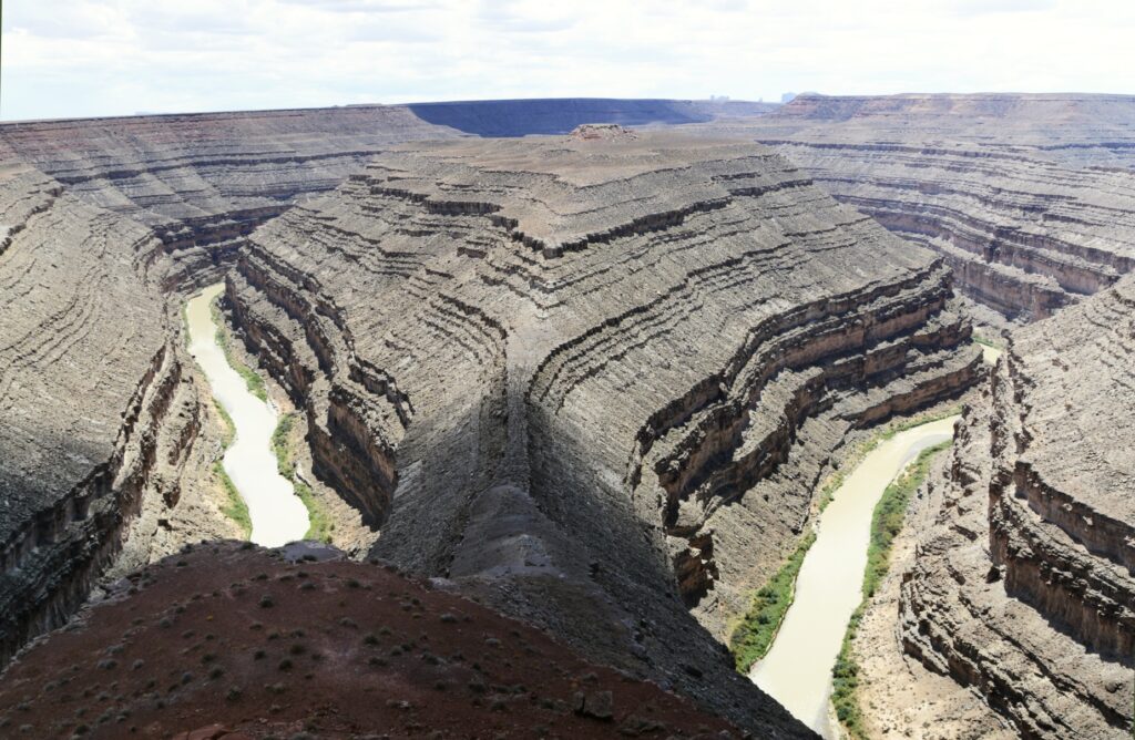
It wasn’t quite as beautiful as Horseshoe Bend in northern Arizona, but it was still very impressive since you can stand on the edge and look straight down. Also, it is not just one bend in the river, but several all together.
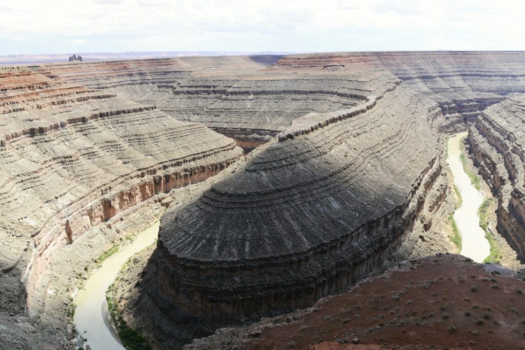
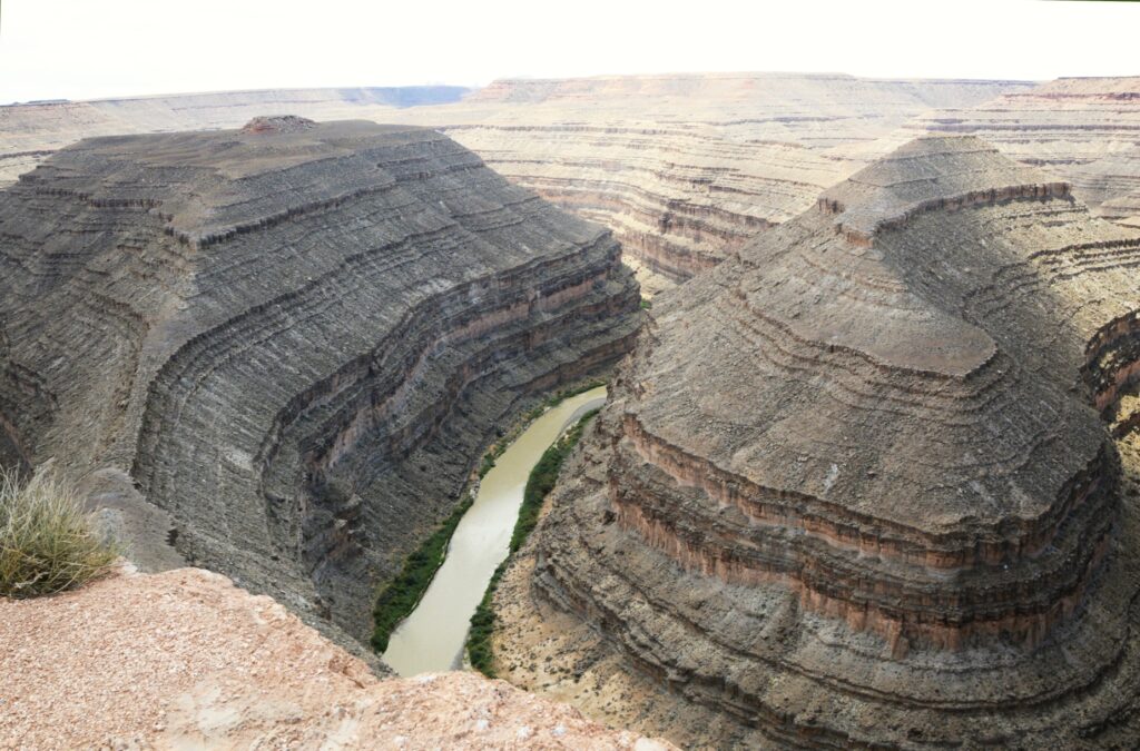
I guess I should have been a geologist because places like this fascinate me. It was a great ending to our day.
“But let justice roll down like waters
And righteousness like an ever-flowing stream. Amos 5:4