Telluride, Colorado

The historic town of Telluride in the San Juan Mountains of southwest Colorado could easily have become a ghost town after the mining companies closed down in 1978. Instead, it transformed into a winter ski and summer recreational resort town.

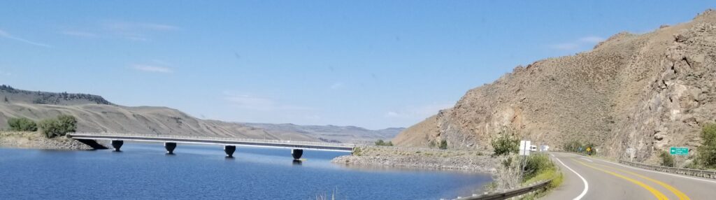
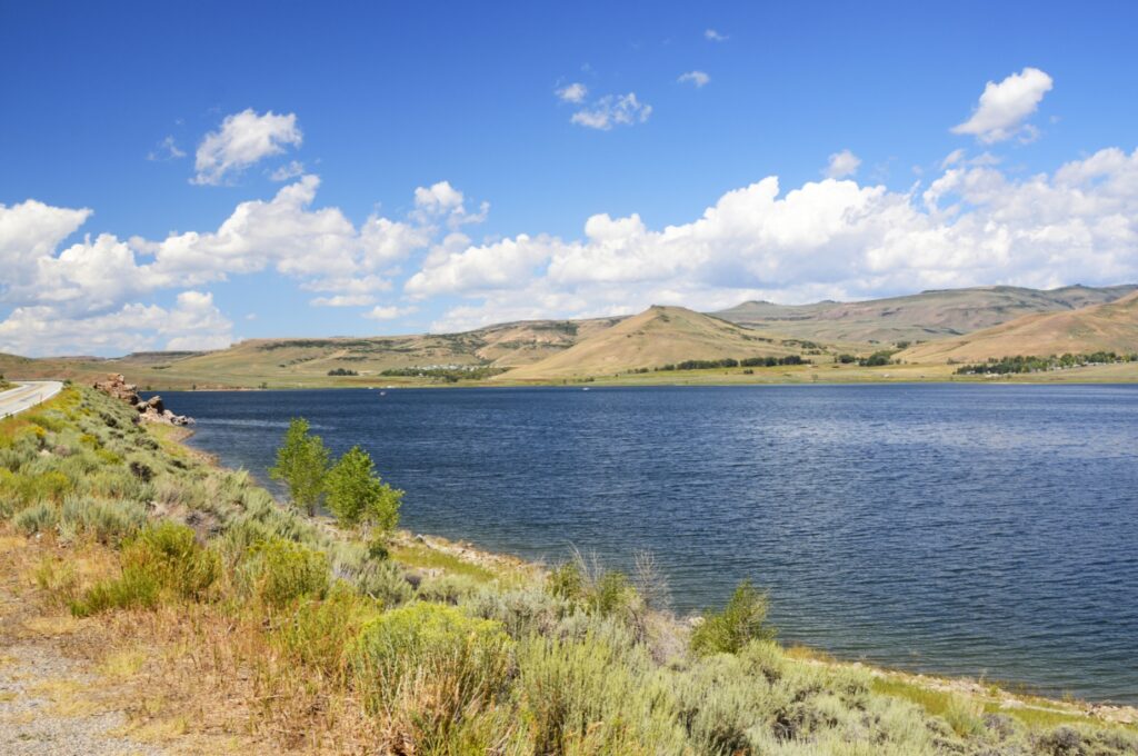
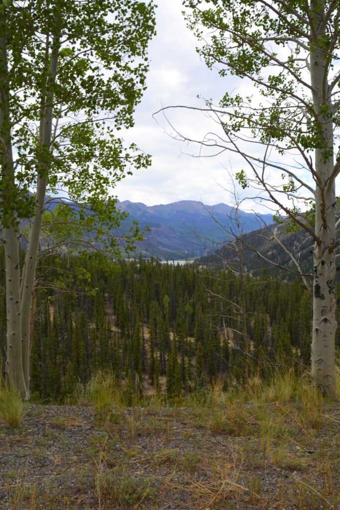
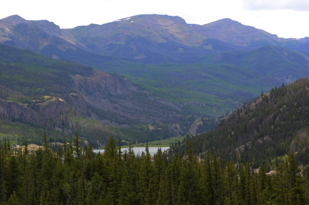
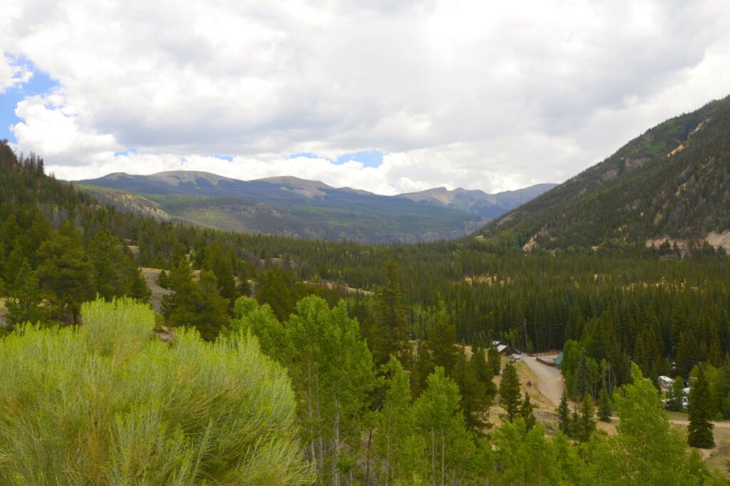
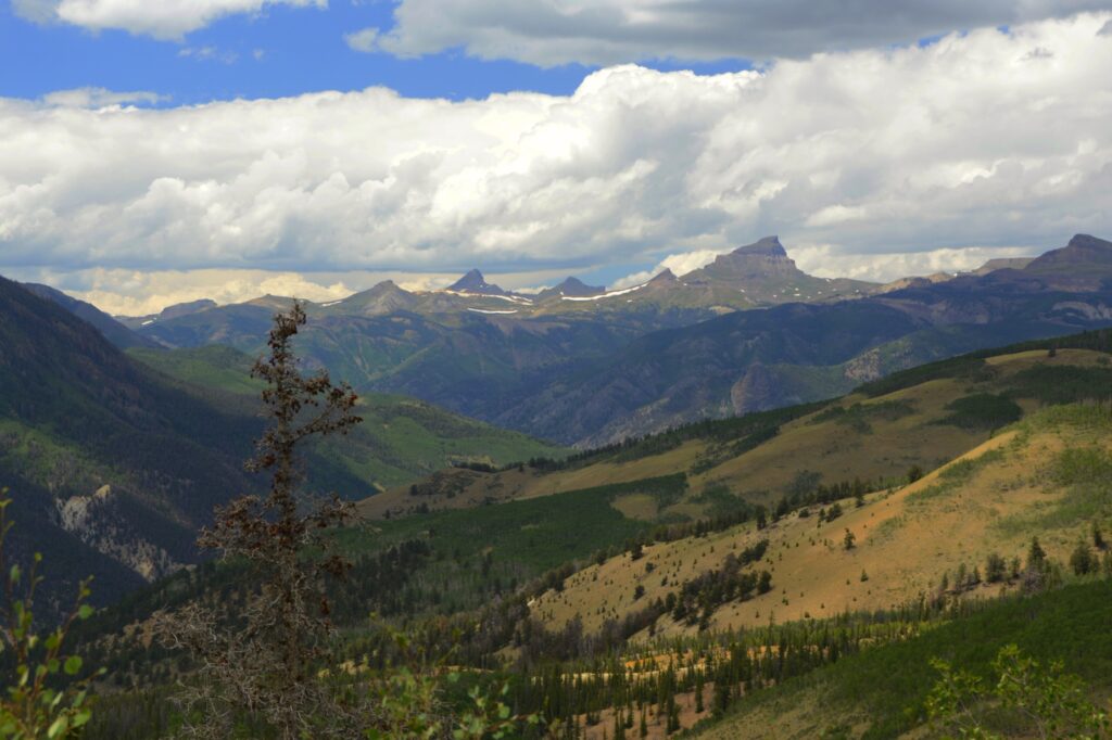
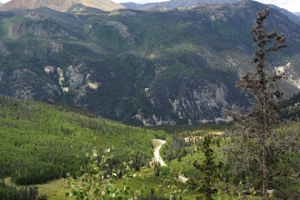
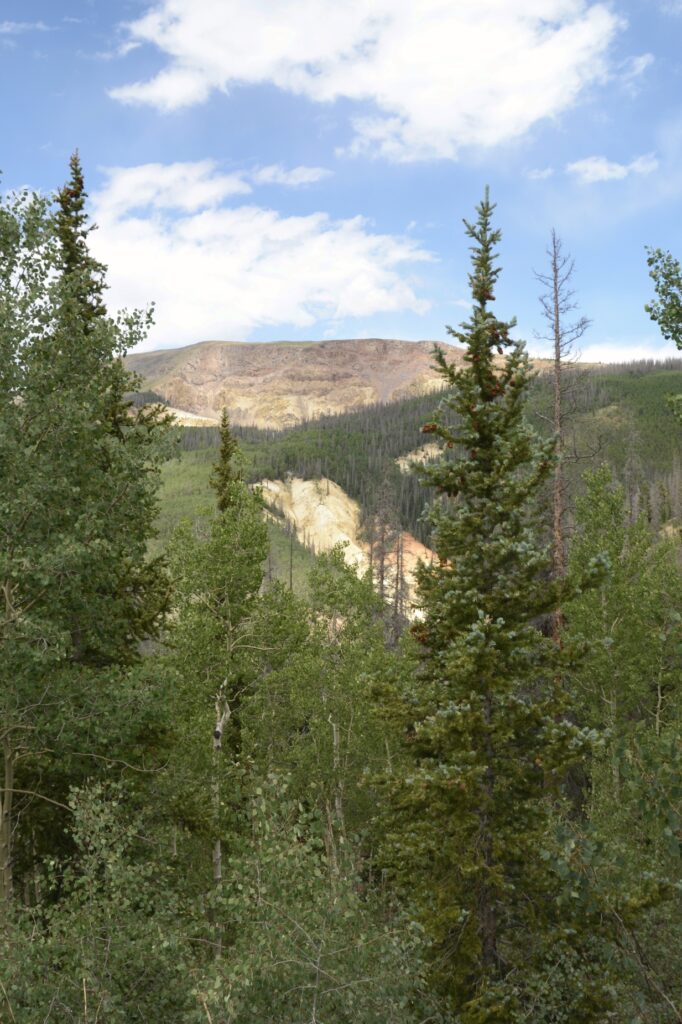
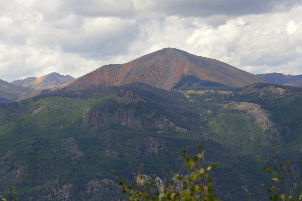
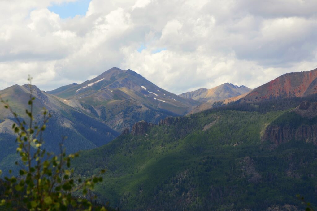
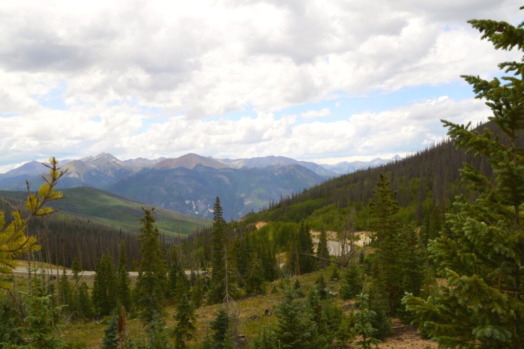
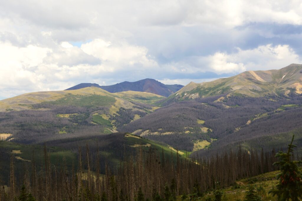
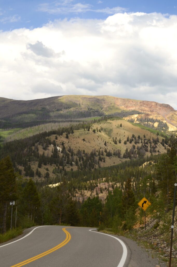
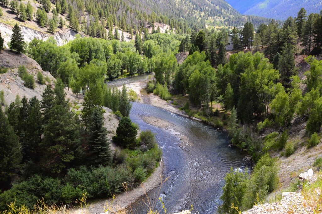
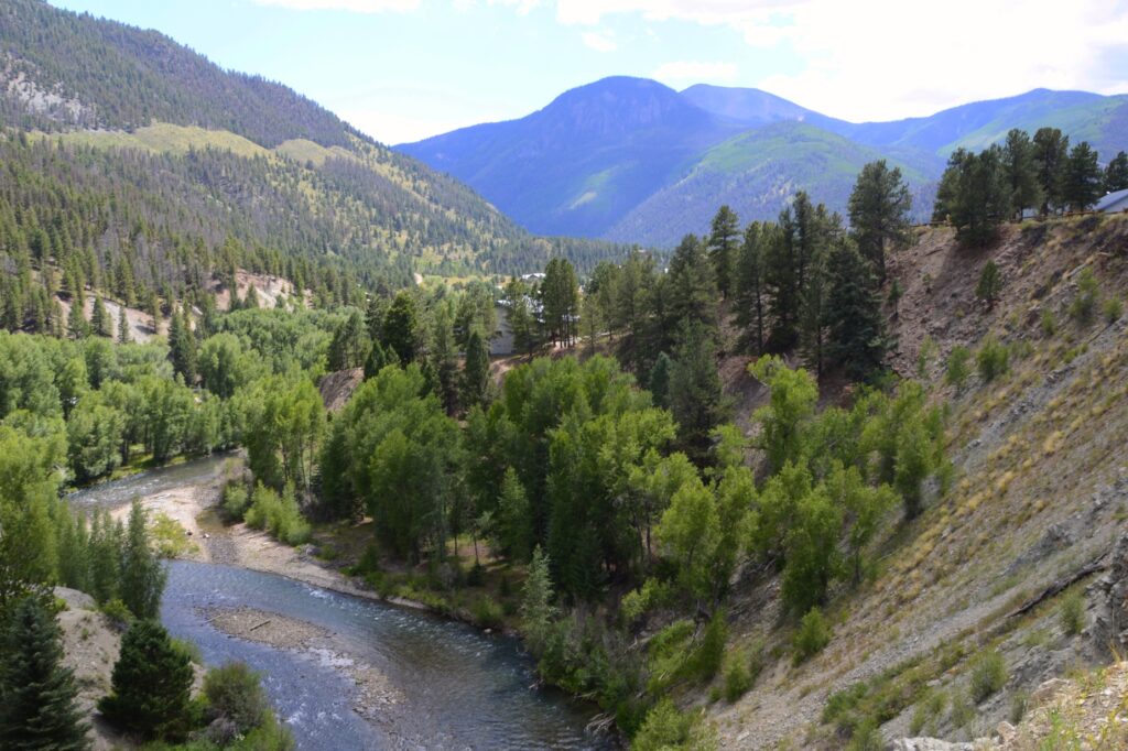
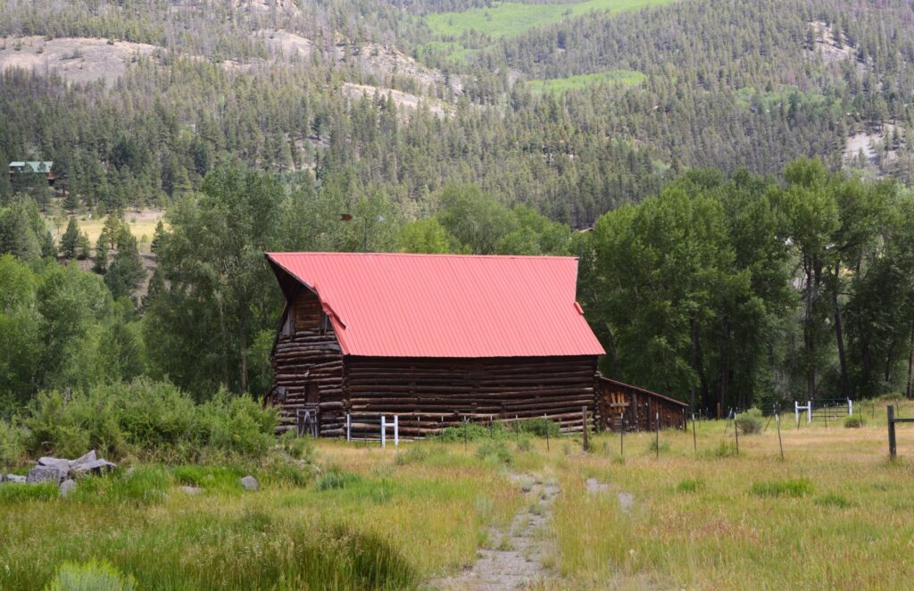
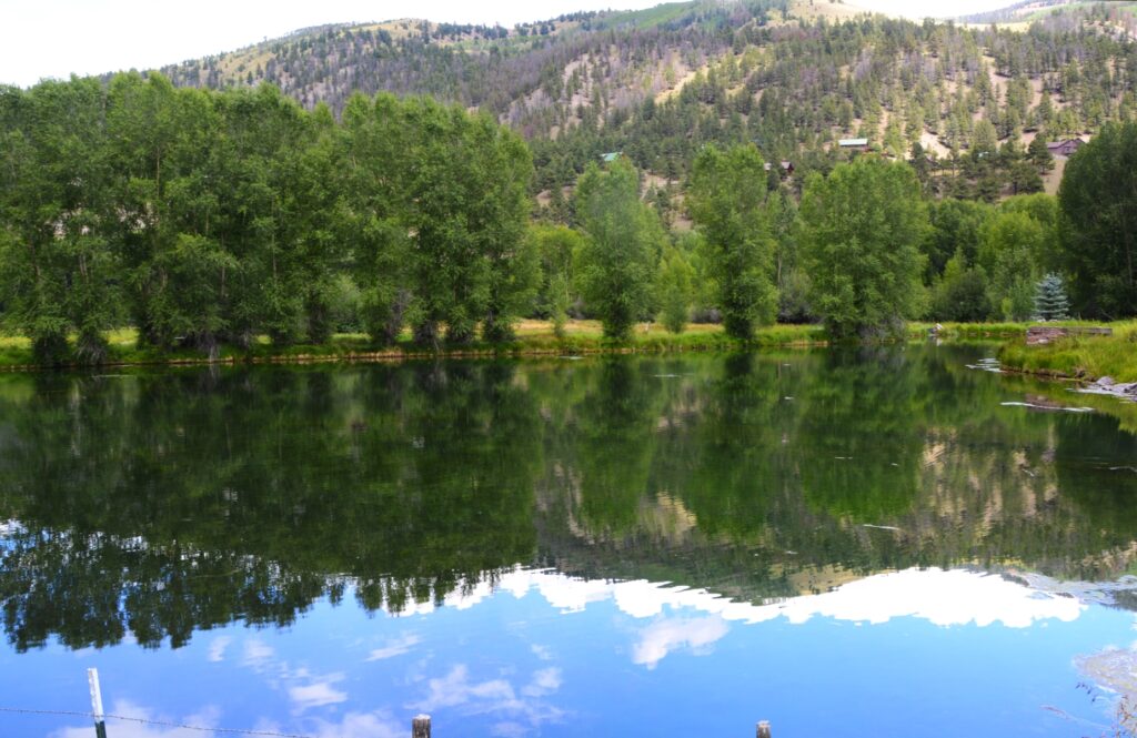
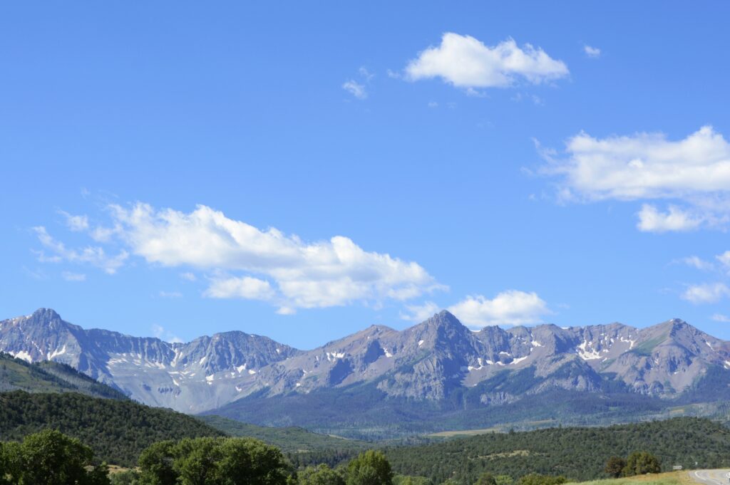
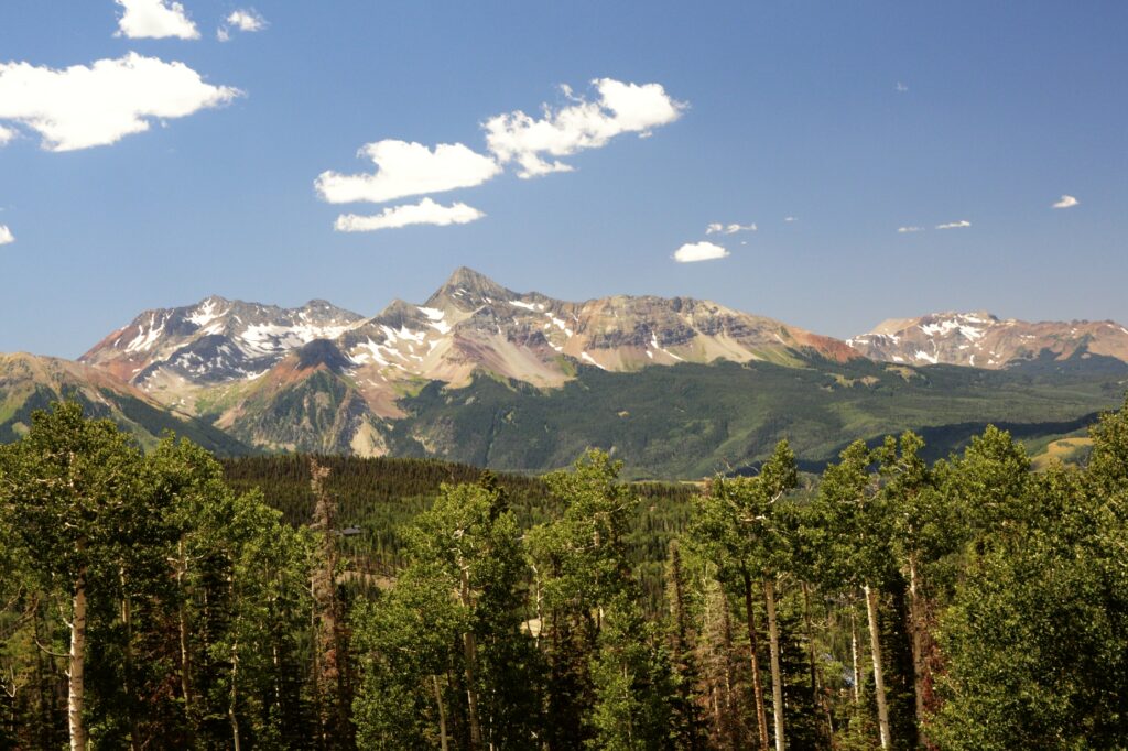
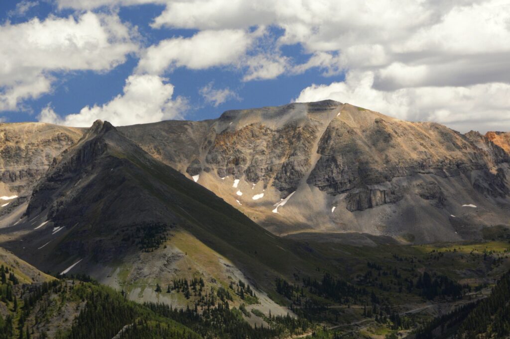
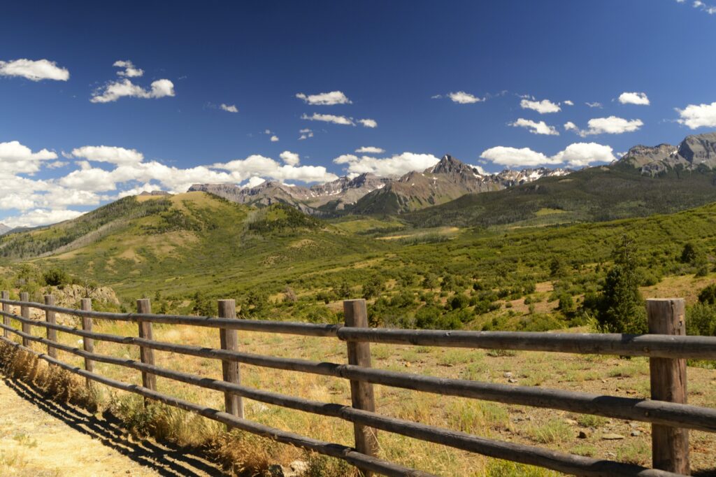
At an elevation of 8,750 feet, it is a popular place to escape the heat of summer. It was a three hour drive for us to this little town. Along the way, we saw some beautiful scenery.

The drive to Telluride is very scenic.
Closer view of mountains on the way to Telluride.

Having visited on the weekend, we had trouble finding parking. We found a spot on a side street and walked a short distance to the Visitors’ Center. There we found information about a free parking lot at the edge of town, and a shuttle bus that would take us where we wanted to go.

Historic New Sheridan Hotel in downtown Telluride

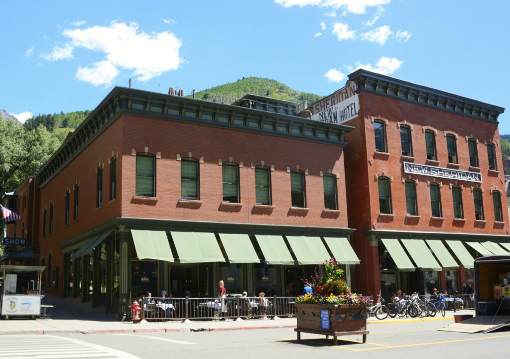
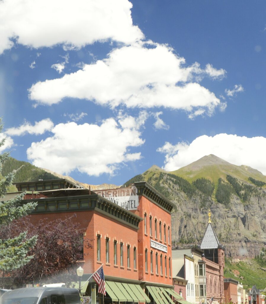
Telluride is both on the U.S. National Register of Historic Places and a U.S. Historic Landmark District, so I was able to get my Passport book stamped at the Visitors’ Center. There’s a self-guided walking tour of historic buildings, but Ray’s knee was hurting, so we chose not to do that. The New Sheridan Hotel is one of the historic buildings on the list.

The mountains are very close to the town of Telluride

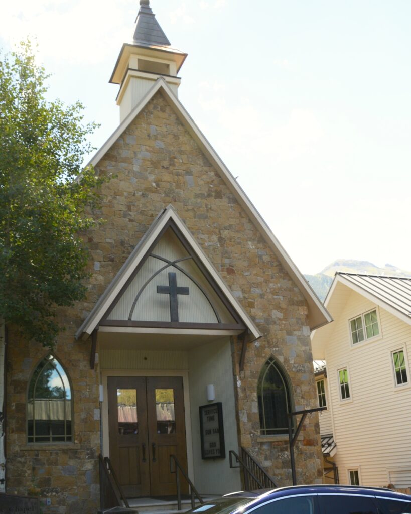
Before we moved from our parking spot, we spotted a cement wall in front of a little chapel nearby that made a perfect place to eat our picnic lunch.

Alpine Chapel where we ate our picnic lunch.

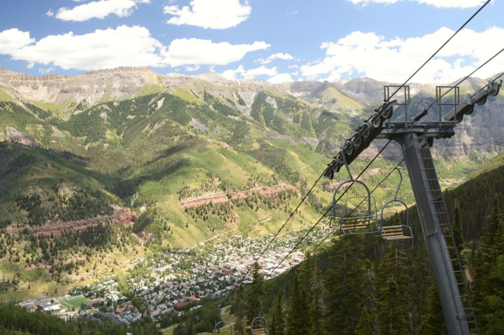
We found the free parking lot and hopped on the shuttle bus to the Gondola Station. At the Gondola Station we boarded a gondola car and were soon headed up toward the summit of the mountain.

Looking up the mountain at the gondola ride
Another ski lift from downtown Telluride

The free gondola ride lasts 13 minutes from the center of Telluride to the resort town of Mountain Village. It covers three miles of terrain. The gondola ride is the first and only free public transportation of its kind in the United States. It officially opened December 20, 1996, and it operates 6:30 a.m. to midnight year round.

Gondola ride
View from inside gondola looking up the mountain

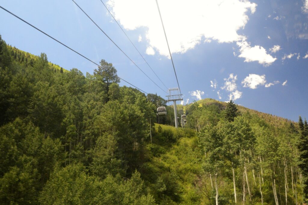
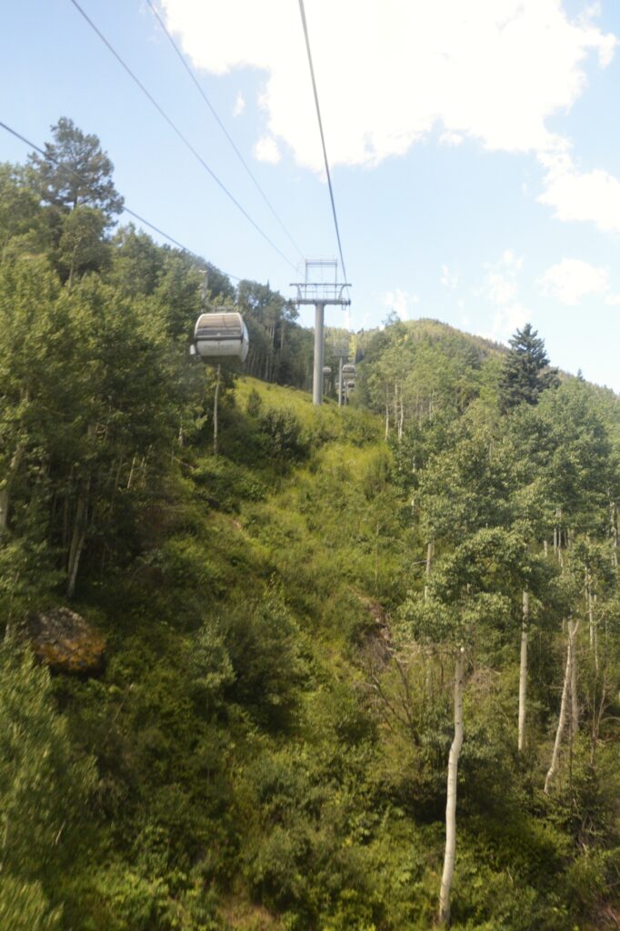
We got off at the San Sophia Station, (elevation 10, 540 feet) at the top of the mountain to view the scenery. The gondola continues down the other side to Mountain Village, but we wanted to look around the top of the mountain first.

View from top of the mountain

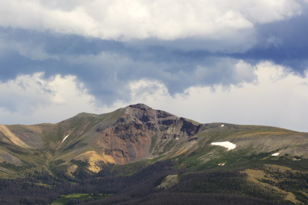
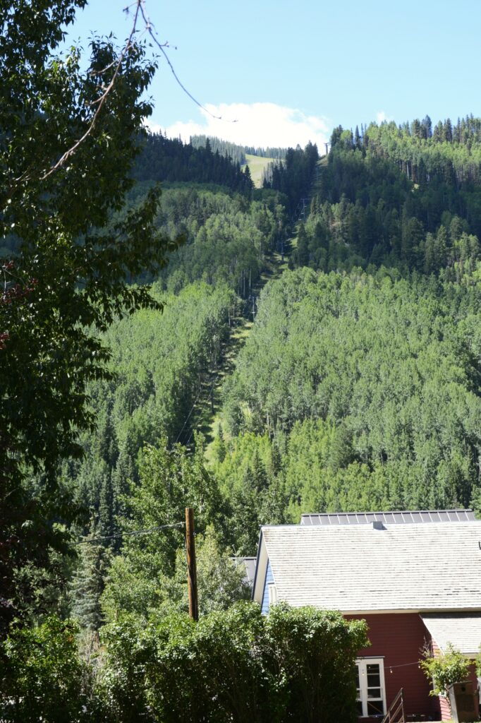
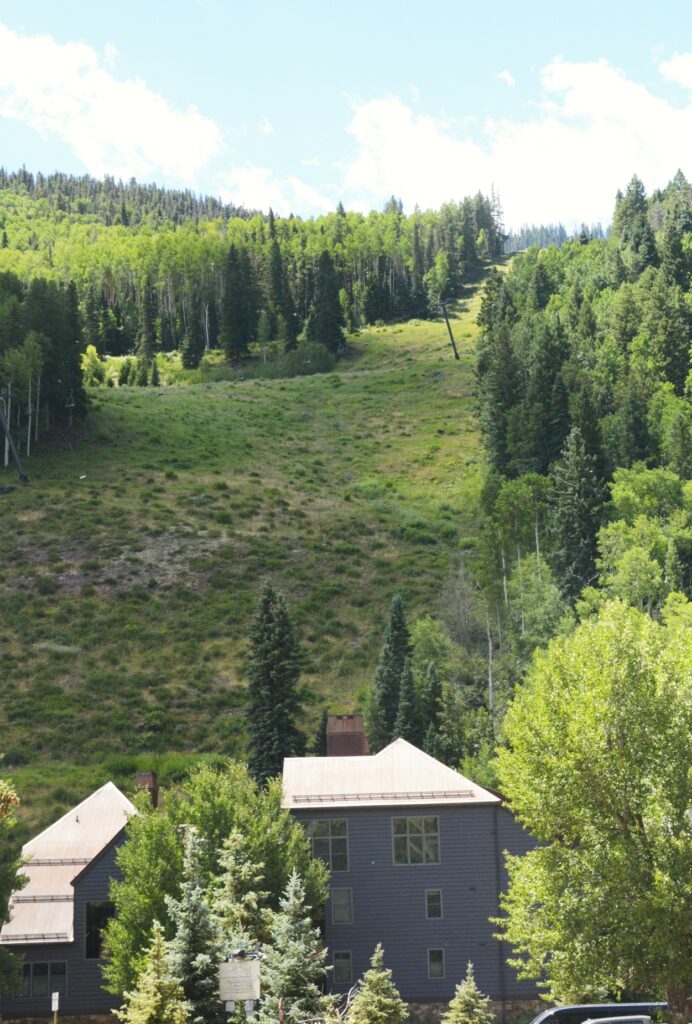
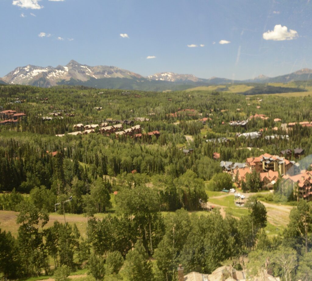
The surrounding mountains were so colorful and beautiful. Looking down, we could see the town snuggled against the mountainsides.

Chair lift and view of Telluride from top of San Sophia Station
Telluride from top of mountain from San Sophia Station

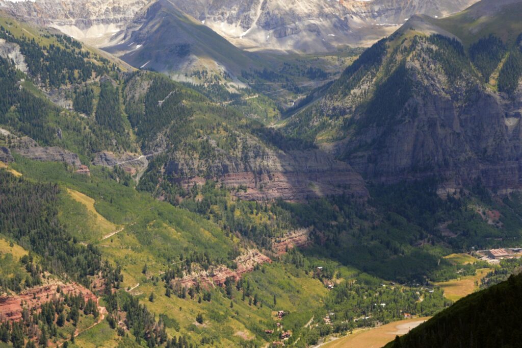
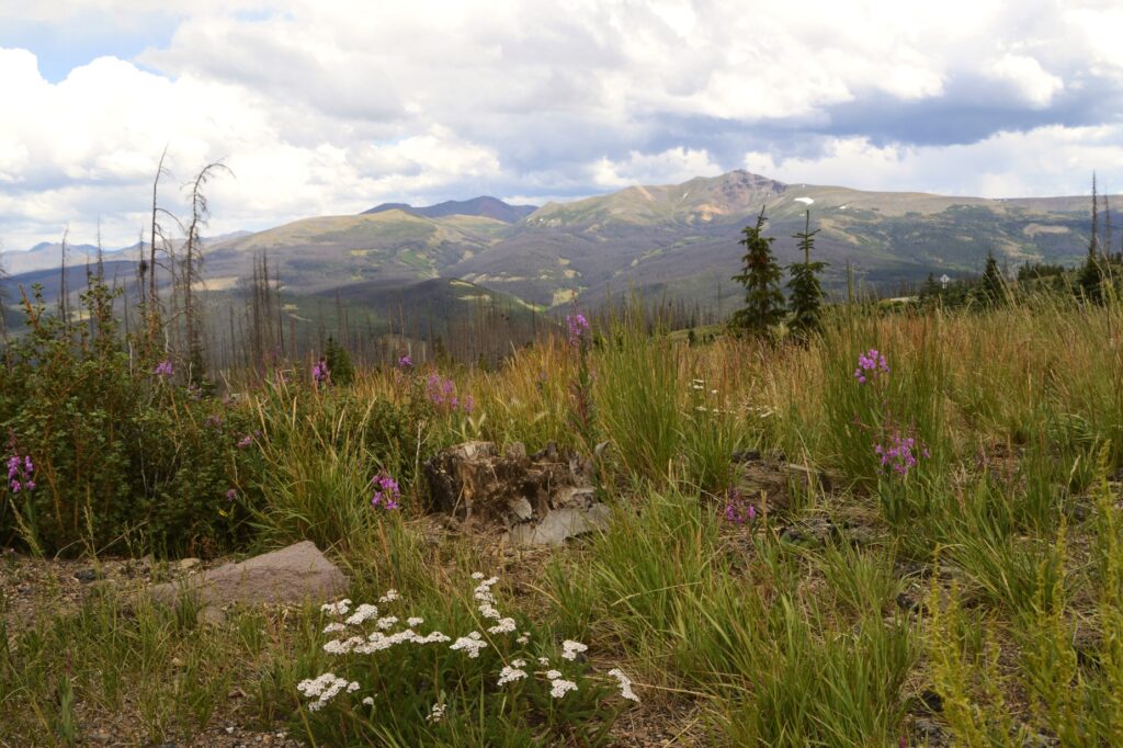
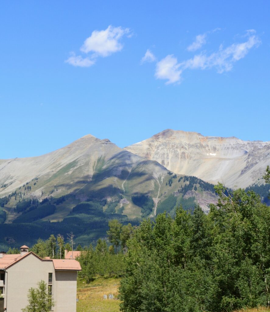
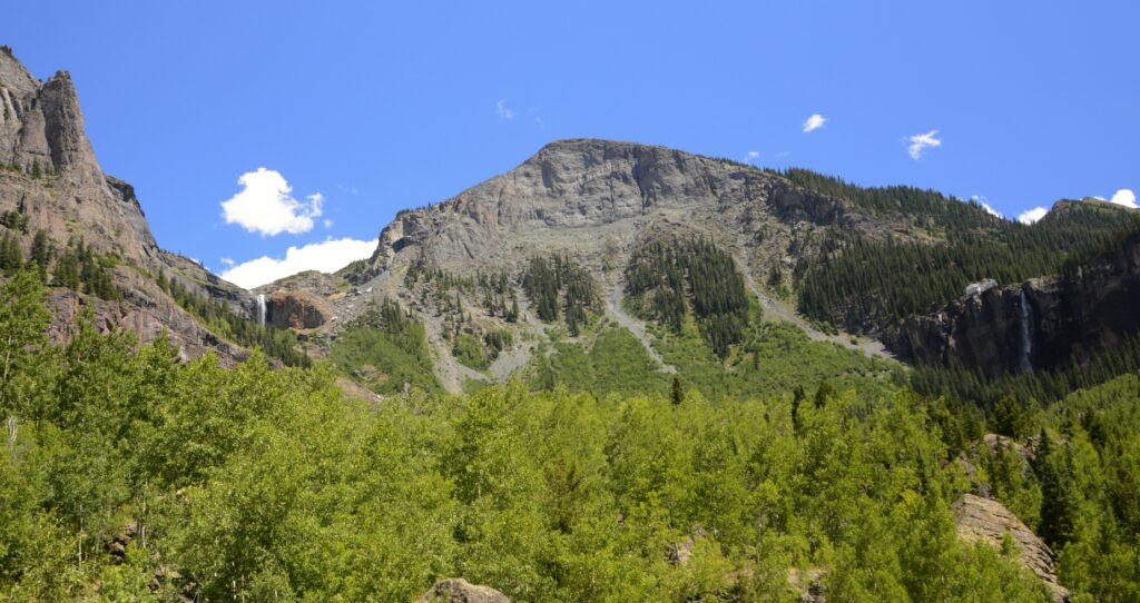
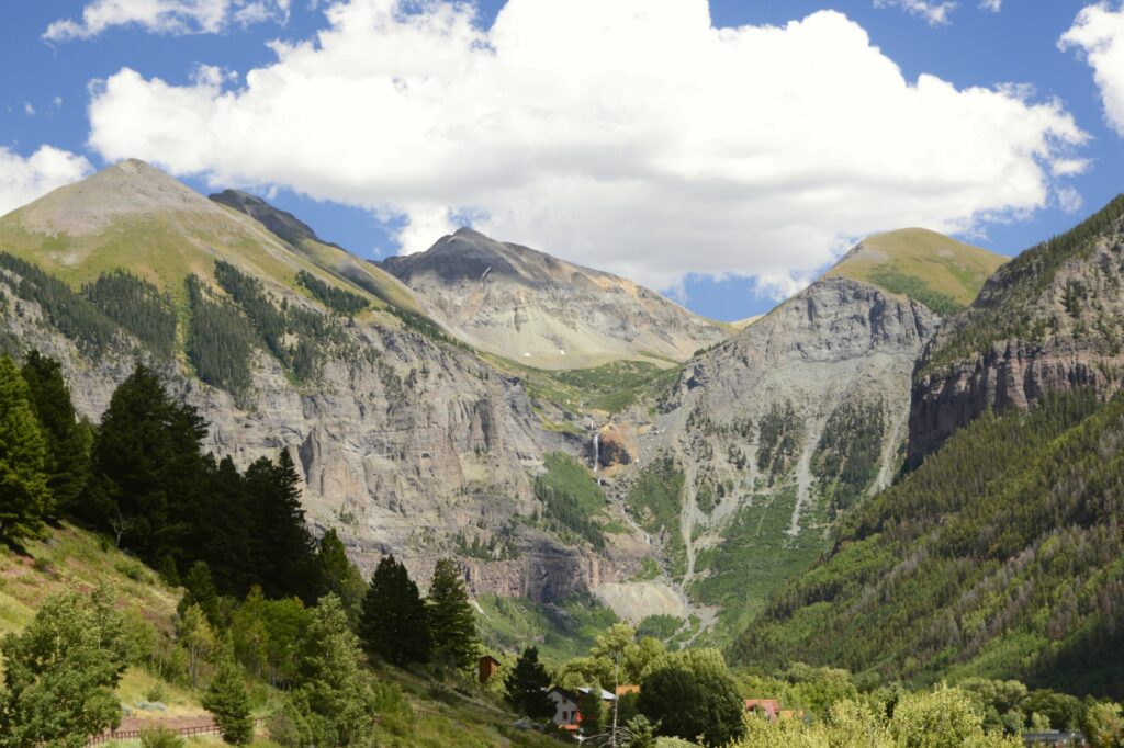
Telluride lies in a valley between steep mountains. In summer, clouds and thunderstorms during the day are common.

View of mountains from San Sophia station
View of mountains from San Sophia Station

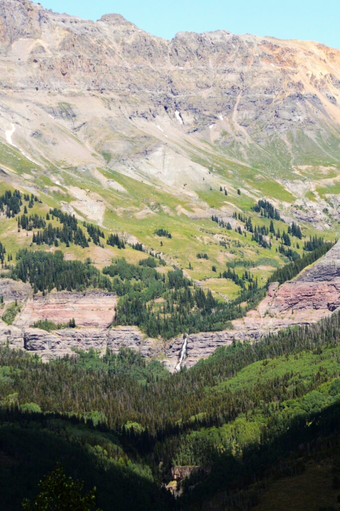
The views from the gondola and at the top of the mountain were amazing. Across the valley, I spied a waterfall called Cornet waterfall. In spite of the summer heat, there were still a few patches of snow remaining on the mountains.

Cornet Falls

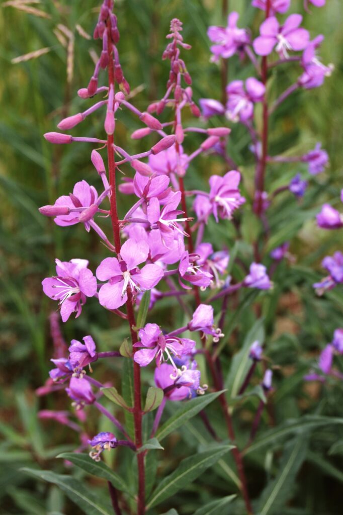
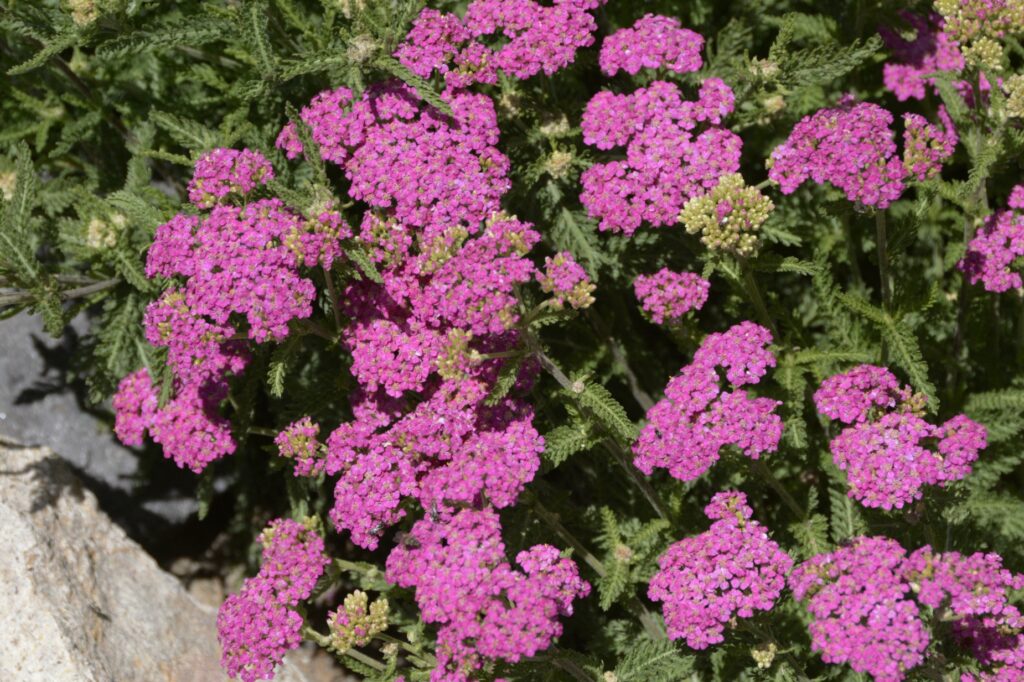
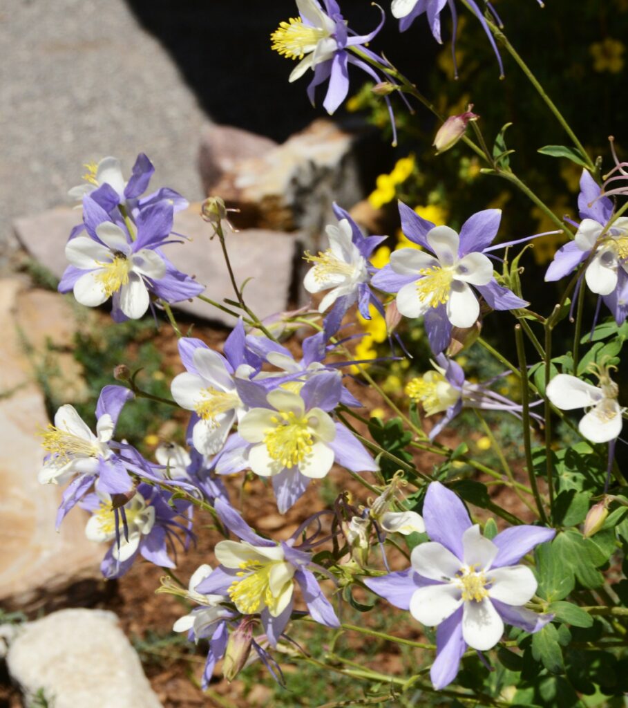
The nature center at San Sophia Station was closed, but outside there were native Colorado flowers planted around the building, including pink yarrow and two different colors of columbine.

Pink Yarrow
Columbine flower

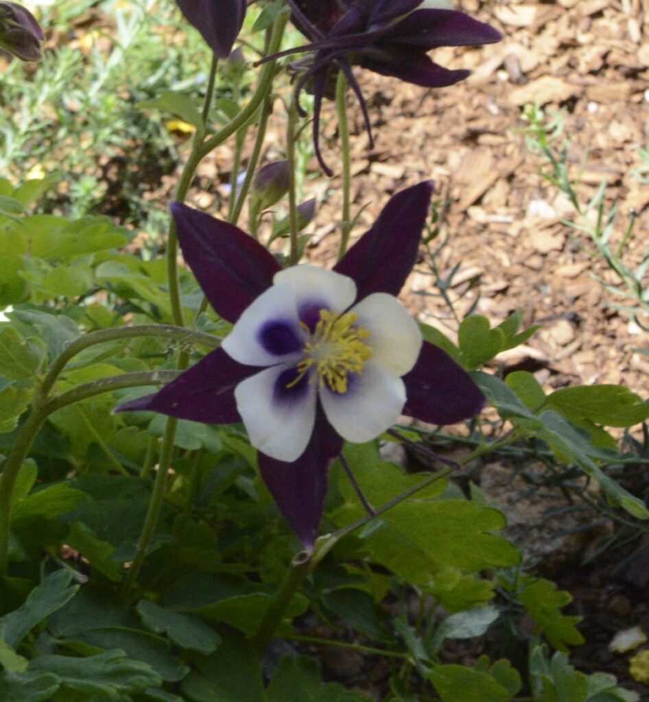
The Rocky Mountain Columbine is the state flower of Colorado.

Rocky Mountain Columbine

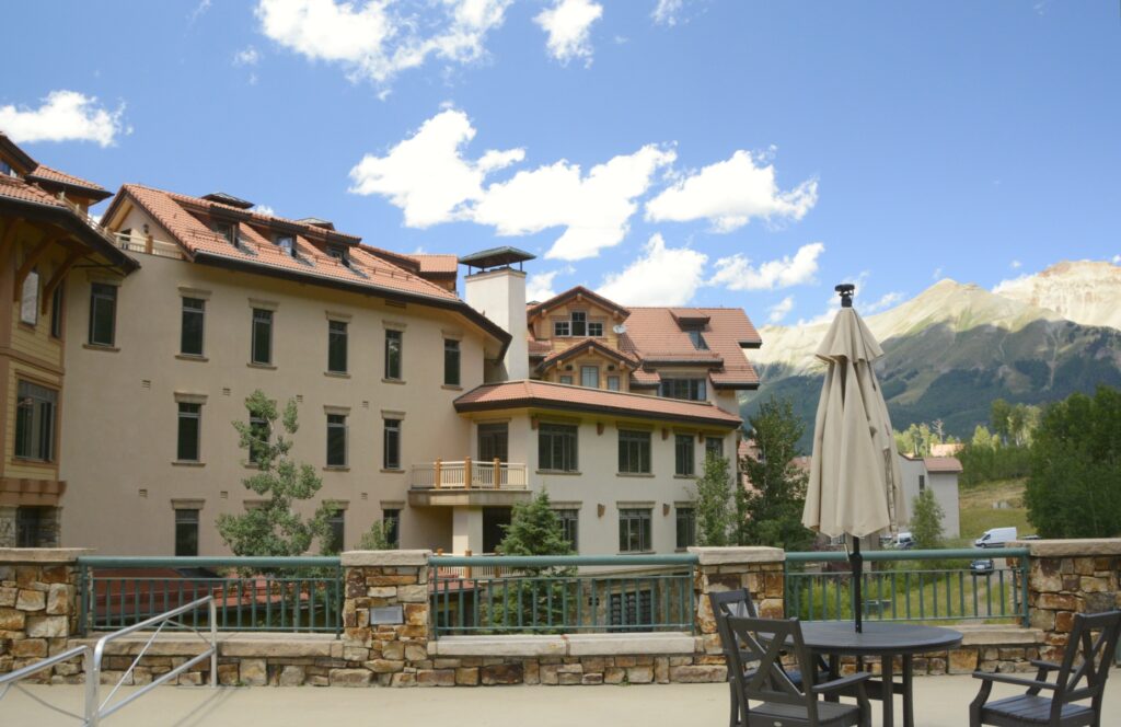
We hopped back on the gondola and rode it down to Mountain Village. It is mostly condos and a ski resort area.

Mountain Village view from Gondola

There is another gondola that goes to Mountain Plaza shopping area, but we weren’t there to shop, so we took a break outside on the patio area and ate a snack we brought with us while enjoying the scenery.

We ate a snack here on the patio
Mountains around Mountain Village

After riding the gondola back up the mountain and down to Telluride again, we hopped on the shuttle. It makes a loop around the town, so we got to see some more of the town while riding to our parking spot. We had one more place to visit before leaving.

Pandora Mill

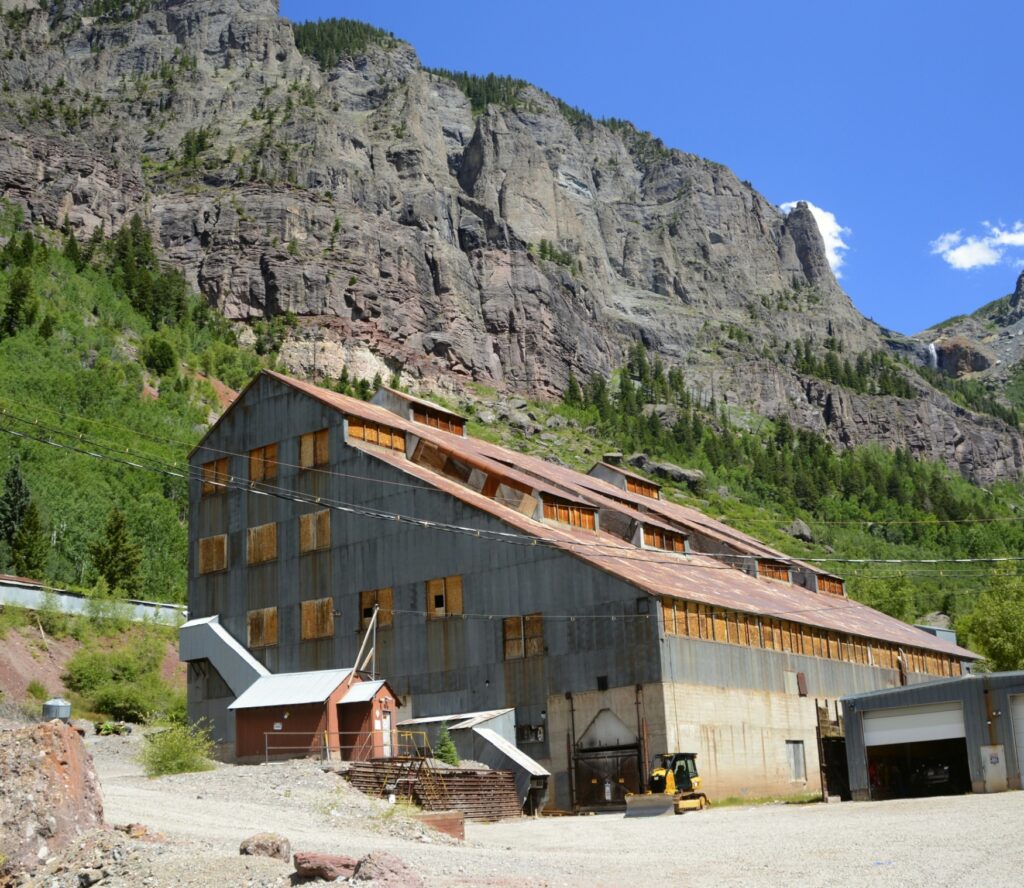
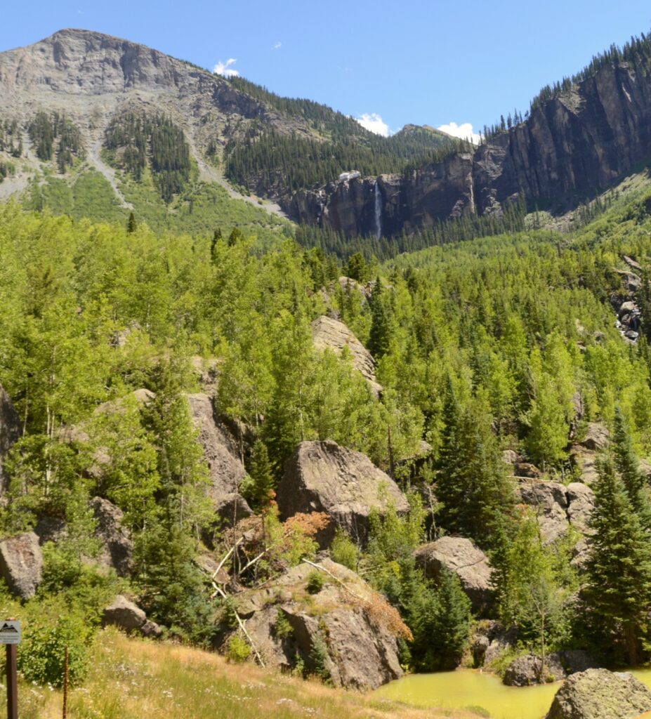
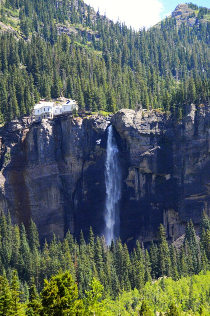
If you drive all the way through Telluride to the end of town, there is a parking lot by an old mining building, Pandora Mill. From there, you can see Bridal Veil Falls. At 365 feet tall, It is the tallest free-falling falls in Colorado.

Bridal Veil Falls

A privately owned, historic power plant sits at the brink of the falls.

Bridal Veil Falls and Power House

All the parking spots were taken, so I double parked and quickly jumped out and took a few photos of the waterfalls. I moved the truck to a parking spot near the old mill when I spotted another waterfall. Researching the name of this, I concluded that it is called Marshall Creek Falls.

Marshall Creek

As I zoomed out on my camera, I was able to get both falls in one photo.

Marshall Creek Falls and Bridal Veil Falls

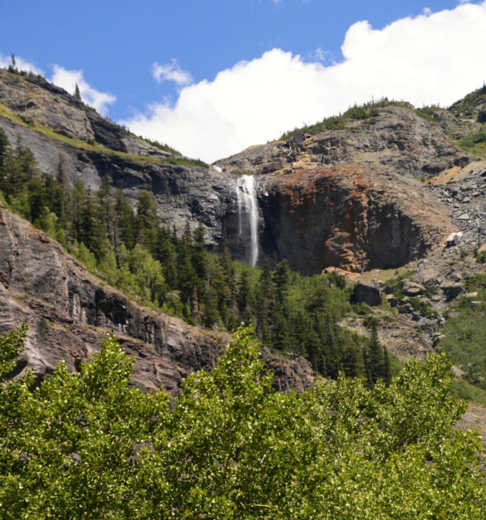
It was late afternoon so we decided to head home. As we drove a few miles out of town, I stopped for one last look. In the distance was Bridal Veil Falls at the end of the box canyon that holds the historic town of Telluride. What a view!

Looking back at Telluride and Bridal Veil Falls

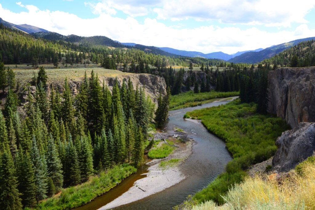
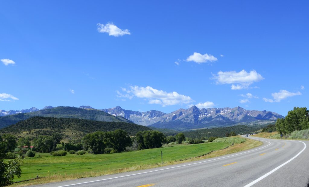
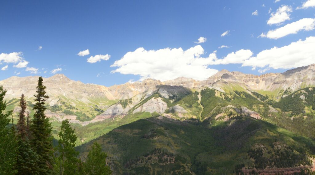
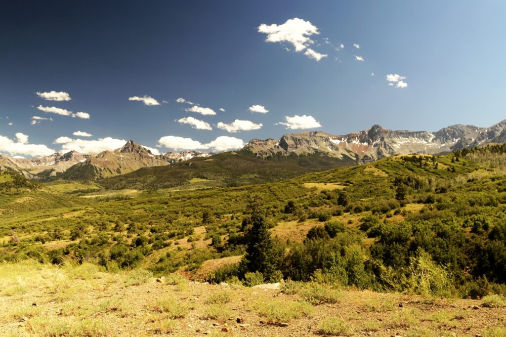
On our way home, I stopped at this roadside pull out and couldn’t resist more photos of these scenic mountains. Now the evening light made them look even more beautiful.

We had a nice day trip to Telluride. I would have liked to have spent more time there, but we had a long drive home. Maybe someday we will return.

“For all God’s words are right, and everything He does is worthy of our trust. He loves whatever is just and good; the earth is filled with His tender love. He merely spoke, and the heavens were formed and all the galaxies of stars. He made the oceans, pouring them into His vast reservoirs. Let everyone in all the world–men, women, and children–fear the Lord and stand in awe of Him. For when He but spoke, the world began!” —-Psalm 33:4-9

Lake City, Colorado

In the previous blog, I mentioned this bridge. It crosses the Gunnison Reservoir on the way to Lake City. One day we took a drive to explore this little mountain town.

Looking back across the lake, we could see our RV park snuggled on the hillside (on the left).

Our RV Park across the lake on the left side.

It was about lunch time when we arrived. Since we didn’t bring a picnic lunch that day, we stopped at Sportsman’s BBQ Station for lunch and got some pulled pork sandwiches. As you can probably tell by the blue fish, fishing is a popular pastime in Lake City, Colorado.

Sportsman’s BBQ Station

Lake City, population 432, gets its name from Lake San Cristobal, which is about a mile outside of the town. The lake had an interesting beginning, which I will tell more about shortly.

Lake San Cristobal

Lake City is situated in a valley surrounded by mountains of the San Juan mountain range. At 8,661 feet in elevation, it is a nice place to escape the summer heat. August is their wettest month. Although we didn’t get rained on, we did see some ominous looking thunderheads while we were there.

Lake City is named after Lake San Cristobal

After lunch, we drove south over the mountain pass on Highway 149. As we drove out of town and gained elevation, we could see over the valley of Lake City.

Looking over the valley of Lake City, Colorado

The signs upon entering Colorado say, “Welcome to Colorful Colorado.” It is certainly true of the mountains. They are very colorful.

From left to right: Broken Hill, Wetterhorn Peak, Matterhorn Peak, (skip one) and Uncompahgre Peak

We stopped at a viewpoint overlooking the valley. The tallest peak that looks like the Matterhorn is Uncompahgre Peak which is over 14,000 feet. Two peaks to the left of it, is Matterhorn Peak at 13,500 feet. The next one to the left is another 14’er. It is Wetterhorn Peak. And the last one is Broken Hill at a little over 13,000 feet. They are all a part of the San Juan Mountains.

Looking back at the road we drove on.

The mountain pictured below is responsible for forming Lake San Cristobal. About 850 years ago, thousands of tons of water-saturated earth broke away and slid nearly four miles into the valley below. This was called the “Slumgullion Earthflow.” It blocked the Lake Fork of the Gunnison River and formed Lake San Cristobal. It is the second largest natural lake in Colorado.

About 350 years ago, another part of the mountain slowly slid down over part of the previous slide and continues today at a rate of 20 feet per year.

Slumgullion Earthflow

Other mountains in the surrounding area have names that fit their description, like Red Mountain and Grassy Mountain.

Red Mountain
Grassy Mountain

The trees were mostly spruce trees with aspen trees scattered in groups here and there.

Mountain Spuce tree

We weren’t quite at the summit of the Slumguillion Pass, so we kept going. We wanted to see what was on the other side of the mountain!

Looking back at the San Juan mountains.

At the higher elevations, we spotted some wildflowers. Fireweed and yarrow were prevalent.

Fireweed in bloom

When we made it to the top of the pass, this is what we saw–mountains in every direction. The wild flowers were blooming in the cool mountain air. The peaks showed a few remaining patches of snow.

The other side of the mountain. Fireweed and yarrow were blooming at this elevation.

One other mountain looked like it also had a portion of it collapse and slide down the side of it. At 11,361 feet, we were above the treeline. The other side of the mountain looked very similar to the side we’d just climbed over.

Another earth slide on a mountain

The afternoon rain clouds were moving in, so we decided to head back to Lake City. If we had kept going, we would end up in South Fork at the junction of US Highway 160 that leads to Durango.

The other side of the mountain at Slumguillion Pass.

On our way back, the sun came out and spotlighted a portion of the mountains. We drove back down the mountain and into Lake City. For such a small town, it seemed quite busy.

Sunlight on mountains

On our way out of the town of Lake City, I found this beautiful spot on the Lake Fork of the Gunnison River. The road follows the river for many miles. There are beautiful gorges and rocks that make the drive very scenic.

Lake Fork of the Gunnison River
Steep cliffs line both sides of Lake Fork of the Gunnison River

On our way we saw this scenic log barn situated by a small lake. There was no place to walk along the road, so I could only get photos of them separately.

Log Barn
Lake by log barn

We enjoyed our day trip to Lake City. The cool weather and beautiful scenery made it a lovely day.

“Before the mountains were born
Or You gave birth to the earth and the world,
Even from everlasting to everlasting, You are God”. — Psalm 90:2