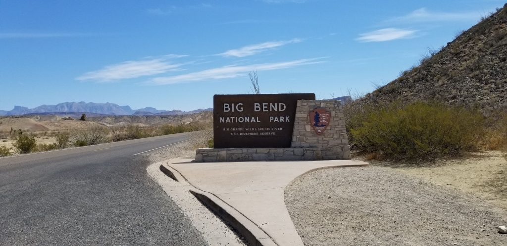
From the tip of southern Texas, we traveled northwest along the Texas/Mexico border to the “bulge” of southern Texas. It is appropriately called “Big Bend” because that is where the Rio Grande River makes a huge bend toward the southeast and then bends back to the northeast. In the crook of this huge bend is Big Bend National Park.
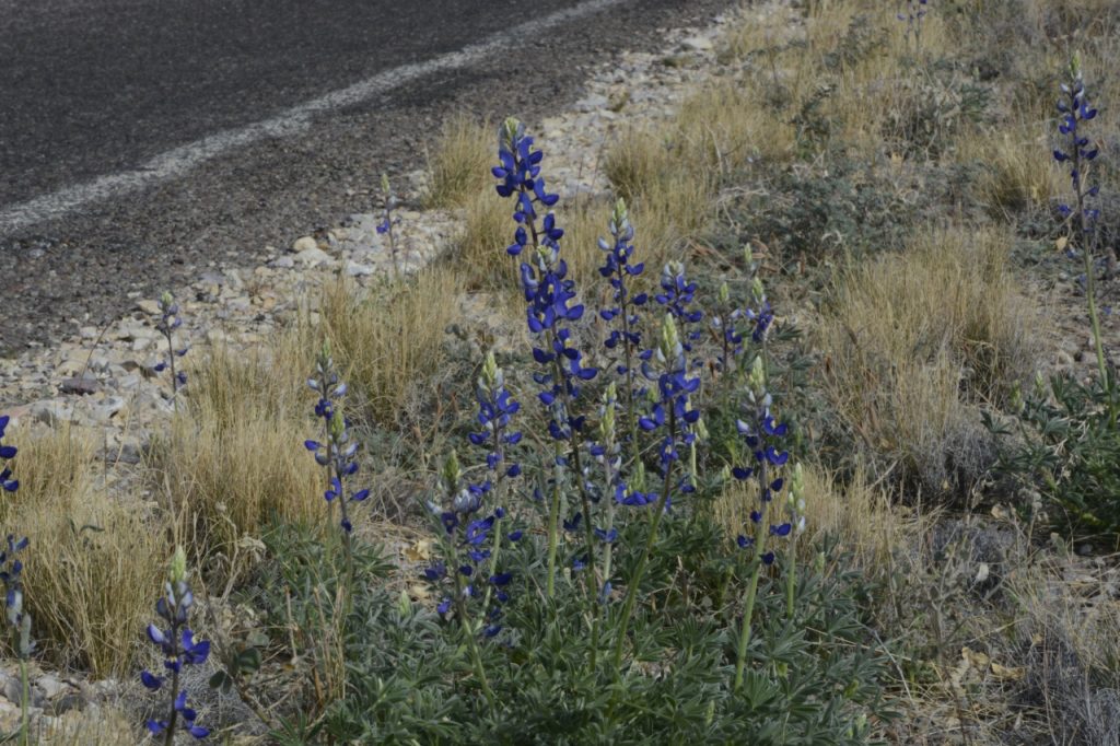
Spring was a perfect time of year to visit before the heat set in. It was still chilly at night, and not many cacti or wildflowers were blooming yet except for a few bluebonnets (the Texas state flower) that were starting to bloom by the roadside.
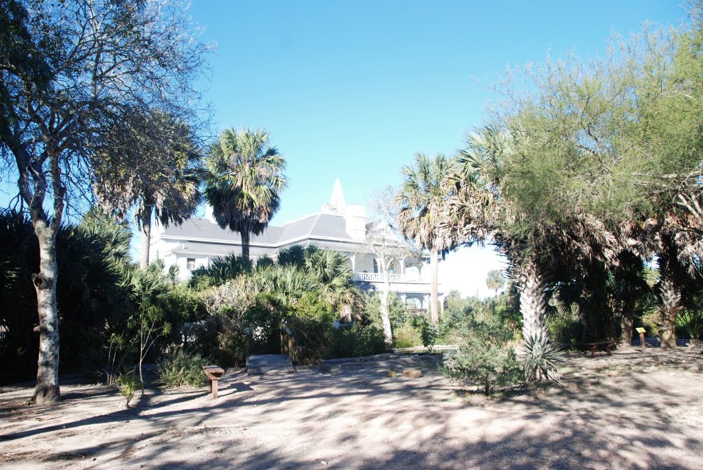
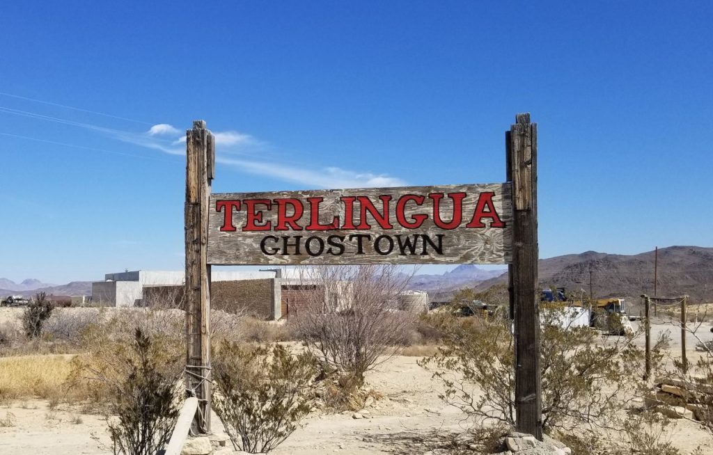
We stayed in an RV park in the town of Terlingua (Ter-ling-gwa), a little town that got its start in the 1880’s when “quicksilver” (mercury) was found in the area.
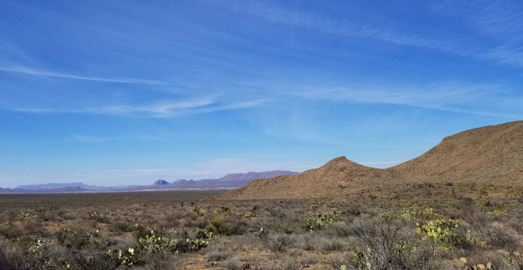
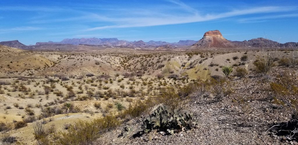
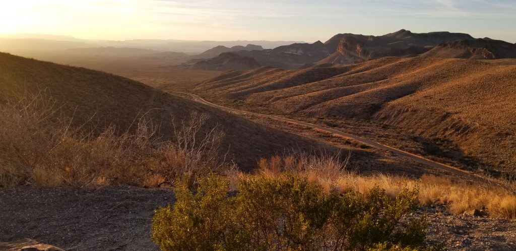
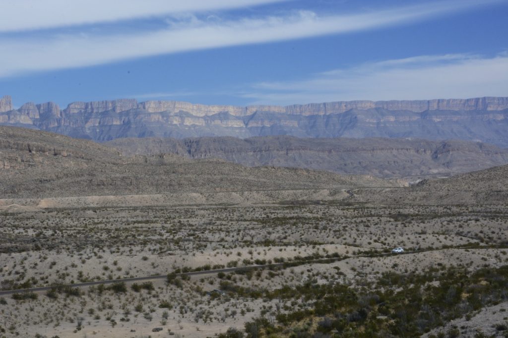
The first thing I noticed was how vast this area is that Big Bend encompasses. You can see the purple mountains in the far distance, and somewhere beyond those mountains is the Rio Grande, and beyond them is Mexico. Though it is only #15 on the list of the largest national parks, Big Bend National Park is over 800,000 acres, and is larger than Yosemite National Park.
There are plenty of things to do in Big Bend NP including scenic drives, day hikes, river trips, bird watching, fishing, horseback riding and stargazing. Speaking of stargazing, Big Bend has the darkest night skies of any national park in the lower 48 states and is designated an International Dark Sky Park.
The Big Bend NP website has suggestions for scenic drives. We drove on all the paved roads in the park. The Ross Maxwell Scenic drive took us to Sotol Vista where we had a view over the entire valley. The notch in the distant ridge is where the road would end. That is where the Rio Grande cuts through steep cliffs at Santa Elena Canyon.
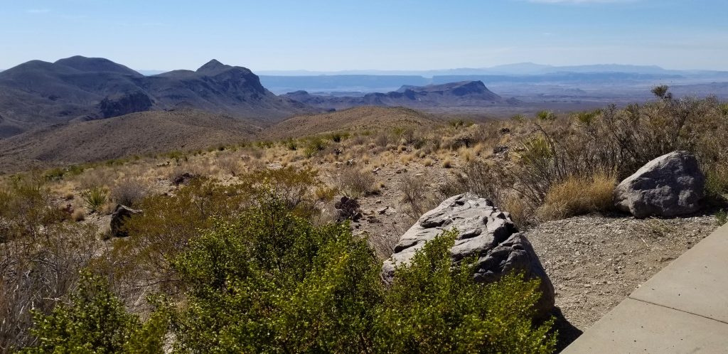
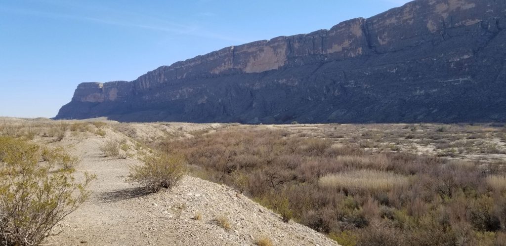
This is the “notch” in the faraway ridge you were looking at in the last photo. But first, some sites along the way.
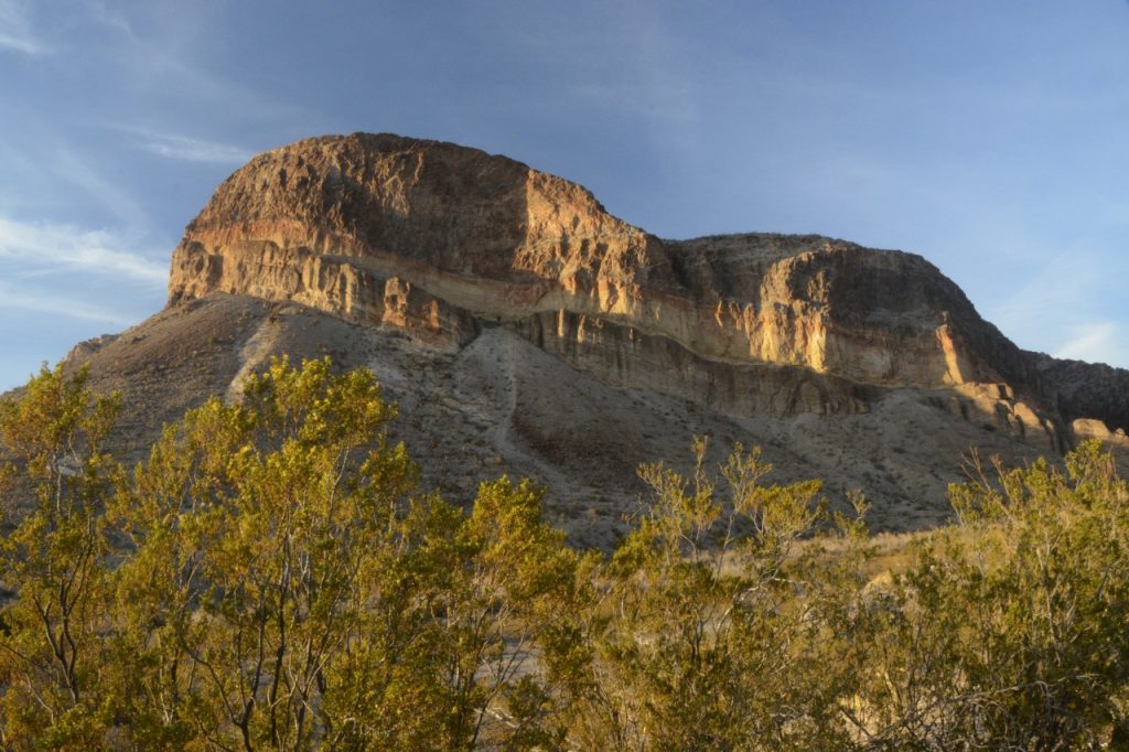
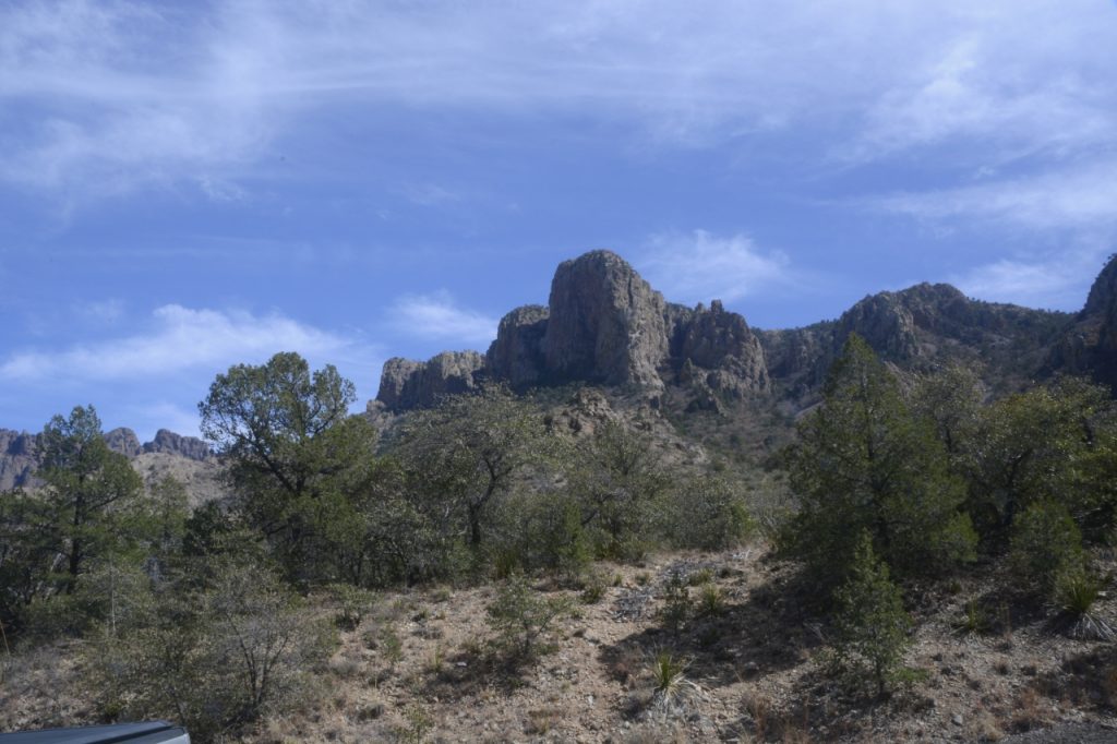
We stopped at the Mule Ears Overlook. You don’t have to have much of an imagination to see the “mule ears”.
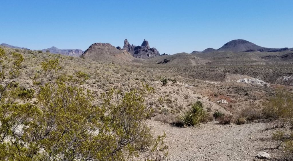
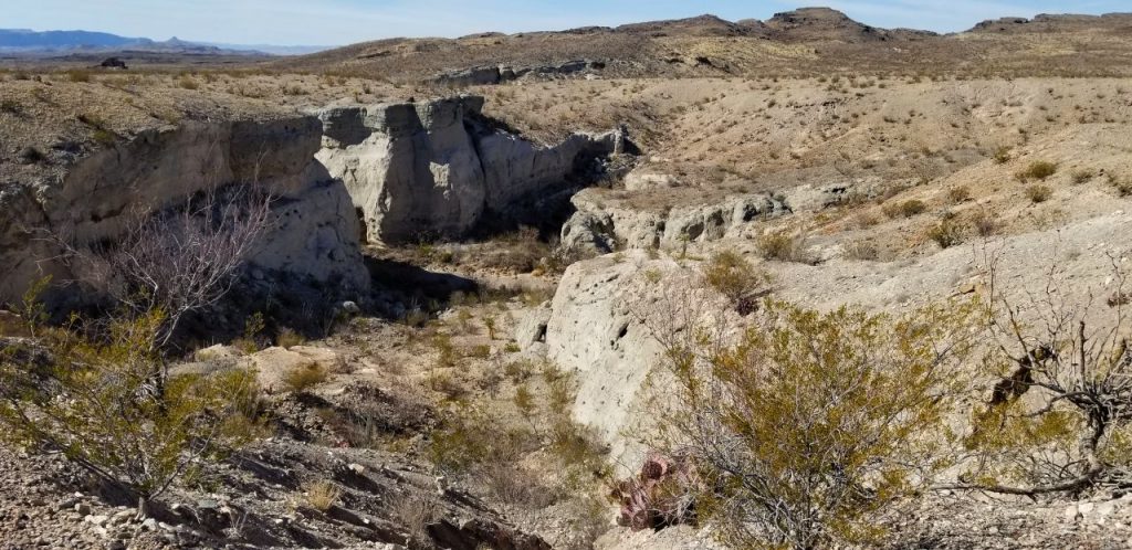
Tuff Canyon and Castalon Peak were other stops.
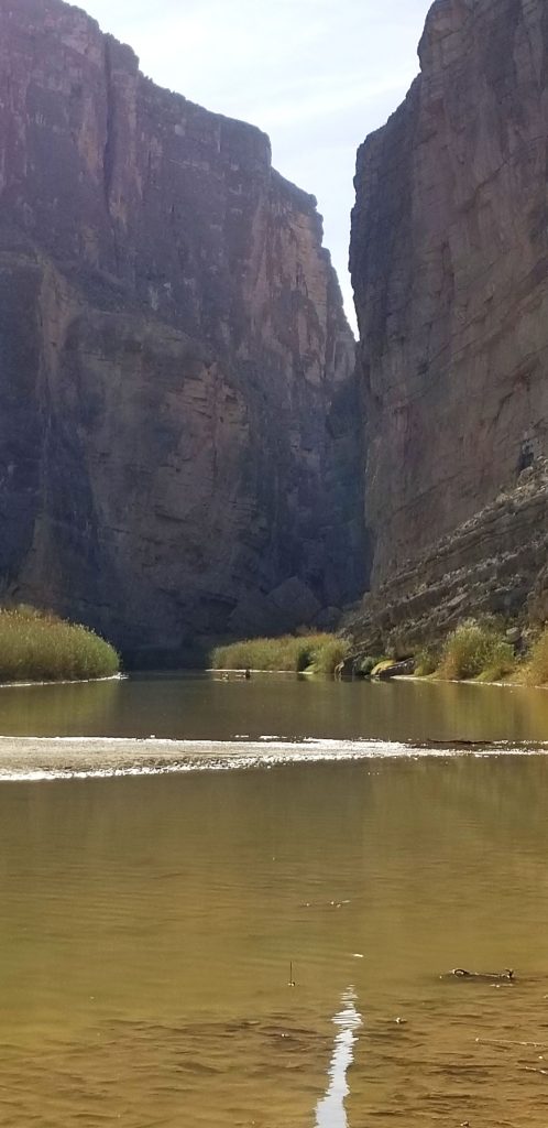
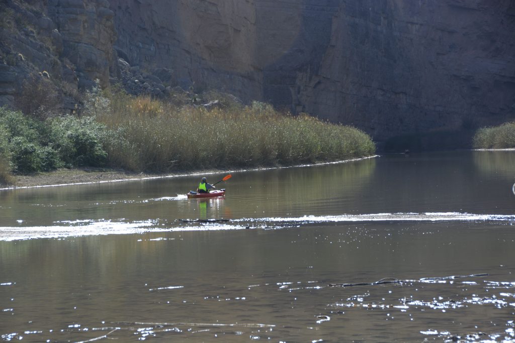
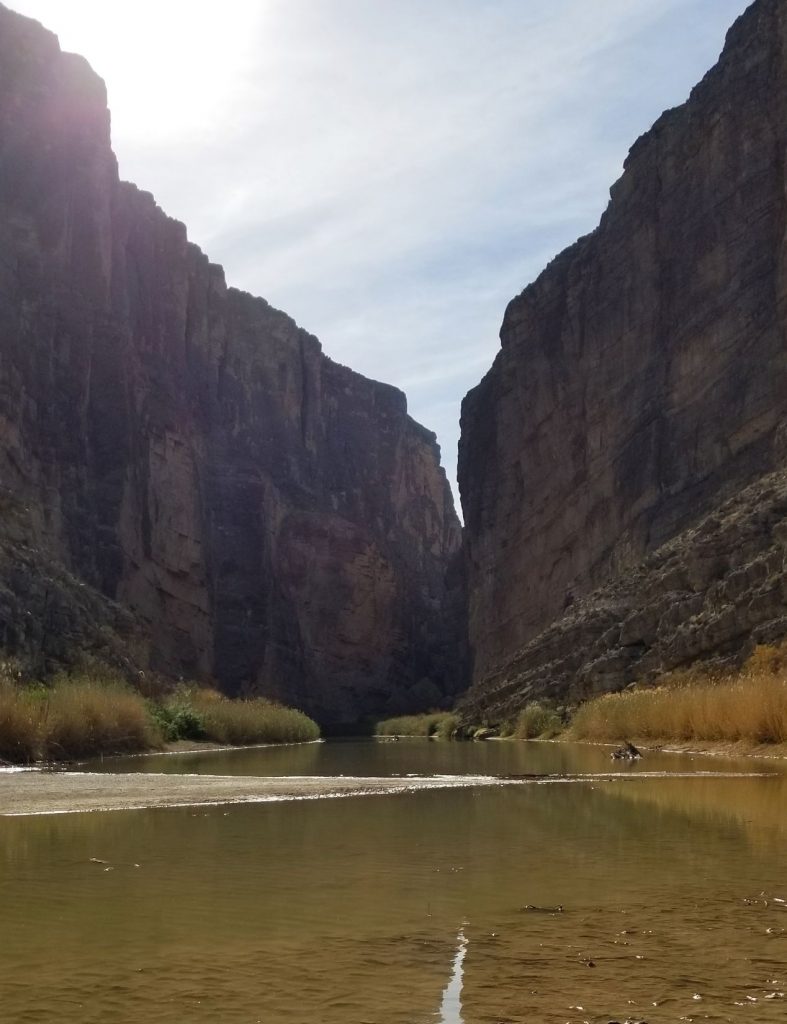
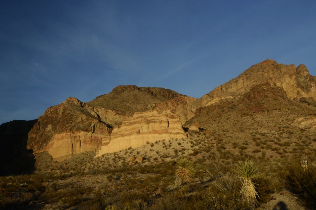
Near the end of the road, there is a massive mountain of rock wall that makes a natural barrier at the border of USA and Mexico.This is where the Rio Grande cuts through the rock and becomes Santa Elena Canyon.
The Rio Grande is a favorite place for those who like to kayak and canoe down the river. It’s also a favorite spot to watch the sunset, as it sets between the two walls.
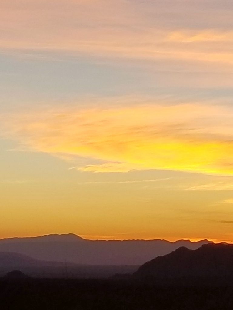
We brought a picnic supper with us so we could wait for the sunset. But instead of staying at Santa Elena Canyon, we started making our way back along the same road, stopping to photograph the “golden hour” effect on various mountains and hills.
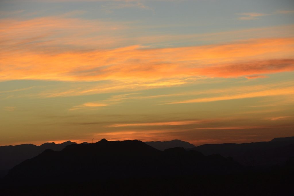
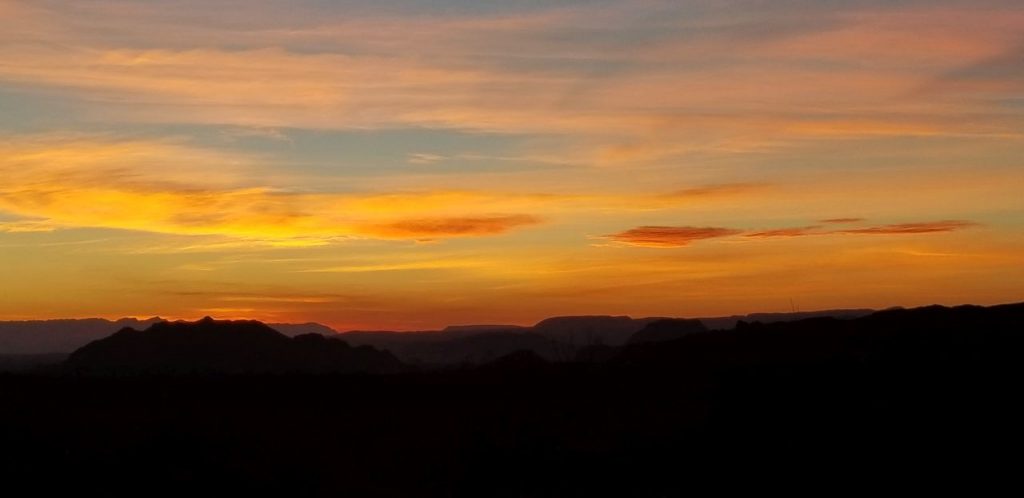
The sunset did not disappoint.
The next day we packed a lunch and drove to the high country of Big Bend on the Chisos Basin road. In less than 6 miles, this road climbs over 2,000 feet above the desert floor to an elevation of around 4,500 feet. As the road gained elevation, the desert flora soon gave way to drooping junipers, gray oaks and the tall Douglas firs and Arizona pines. The air was notably cooler.
The road ended at the Chisos Mountains Lodge and the Chisos Basin Visitor Center. The parking lot was full, so we turned around and went back home.
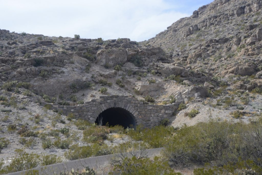
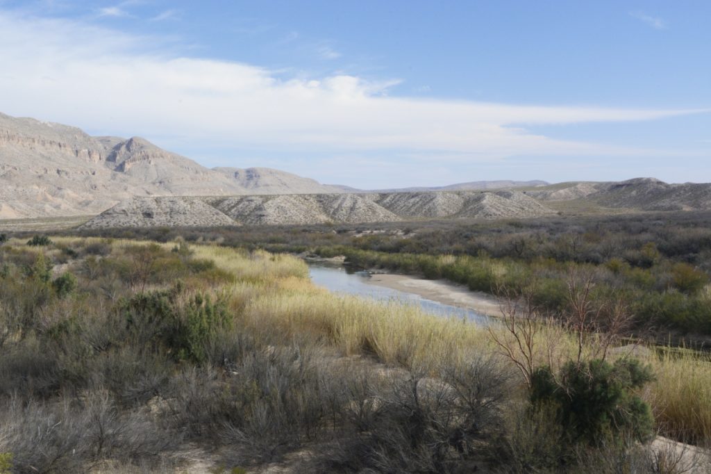
Our third day of exploration took us to Panther Junction where we turned onto the road to Rio Grande Village. This 20 mile drive descends nearly 2,000 feet in elevation on its way to the Rio Grande. Along the way we drove through a tunnel, and stopped for a view of the Rio Grande from above.
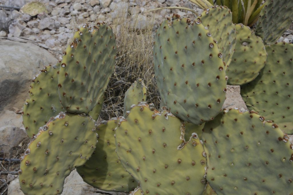
Looking out across to the Rio Grande, we could see the mountains on the Mexican side of the Rio Grande. Nearby, we saw a spineless prickly pear cactus and other native plants.
Down by the river is a campground, but the sites had no hookups. Even in early March the weather was quite warm. A generator would be a must.
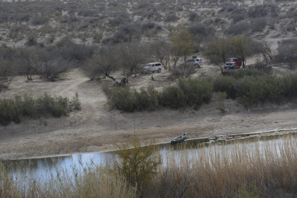
We drove to the Rio Grande river overlook at Boquillas Canyon. Curiously enough, a sketchy-looking man was there selling trinkets and souvenirs to tourists for a high price. I’m not sure if he was from Mexico or the USA. There were three vehicles parked on the other side of the river and a canoe pulled up on the opposite bank. It’s hard to tell why the vehicles were there, and if they had anything to do with the peddler.
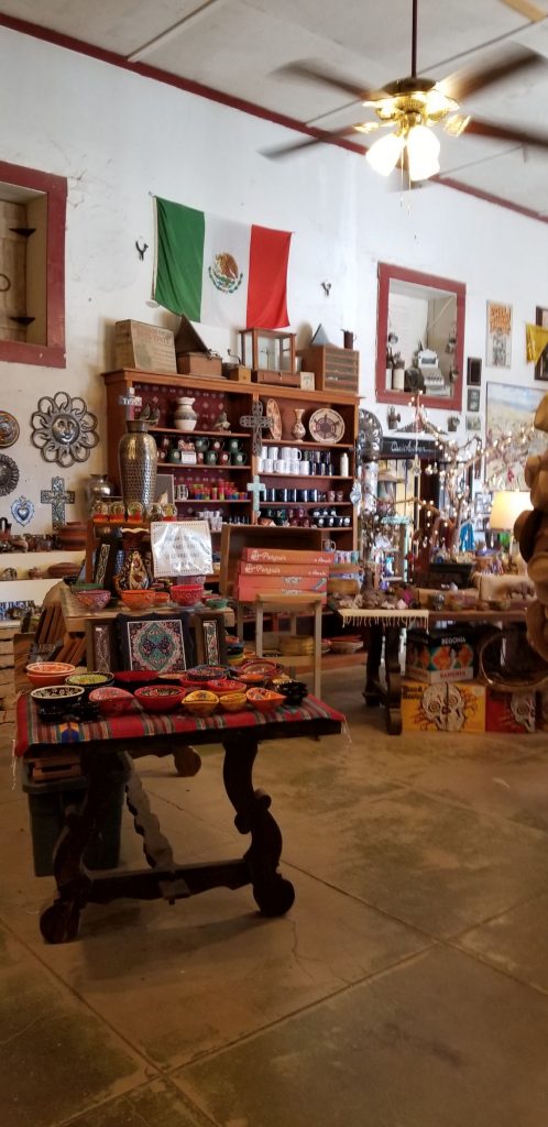
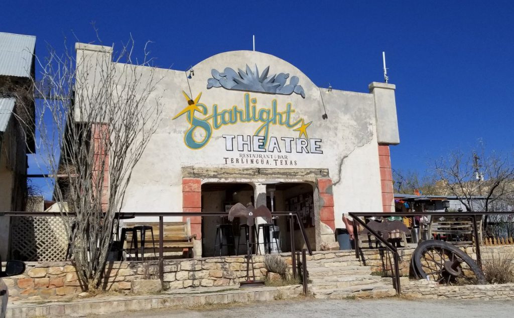
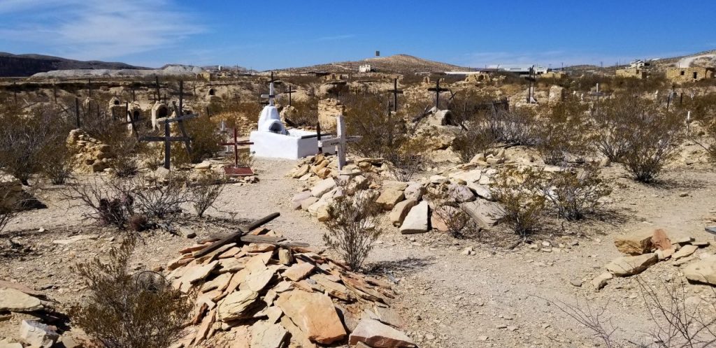
Another day we visited the nearby “ghost town” of Terlingua. The town is now a tourist trap more than a ghost town. A few old buildings and ruins could be seen. We visited a general store next door to the Holiday Hotel and the Starlight Theatre. We strolled through the old cemetery and then bought supper-to-go at the Rustic Iron BBQ.
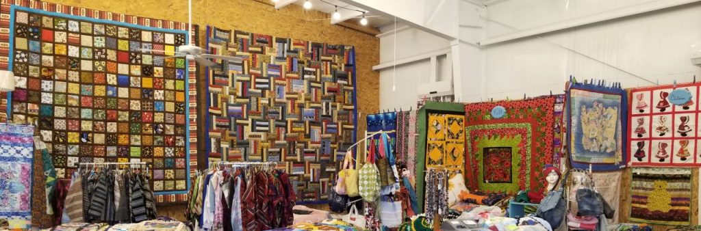
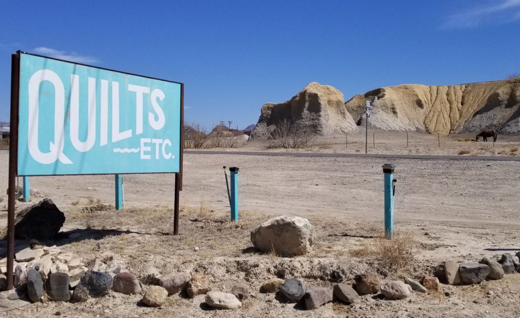
On the way home, I took a peek in the Quilt store in the town of Terlingua. Two little ladies were sewing away. The owner said she has 14 quilters working for her. When I asked how she ended up in the middle of nowhere, she said, “The warm weather!” “Yep,” I said, “That’s why we’re here.”
Big Bend National Park was better than I anticipated. I found myself wanting to visit again someday because there’s so much more to see.