Utah’s first national monument, Natural Bridges, is off the beaten path. It was over an hour drive from Monticello, Utah, where we were staying. After turning on state highway 94 at Blanding, Utah, which is about the halfway point, there are no towns or services from then on. But the scenery is worth the drive.
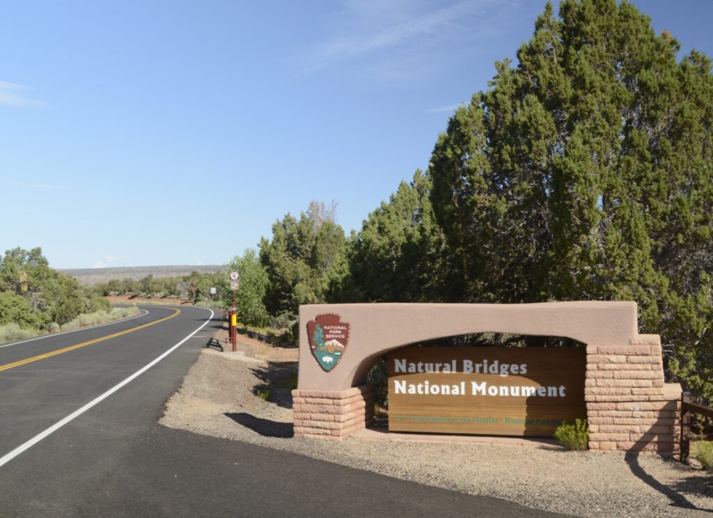
There are three natural bridges within the park boundaries: Sipapu, Kachina, and Owachomo which are Hopi Indian words meaning “place of emergence,” rock art that resembles kachina dolls, and “rock mound.” They were discovered by a prospector in 1883, and later it was designated a national monument.
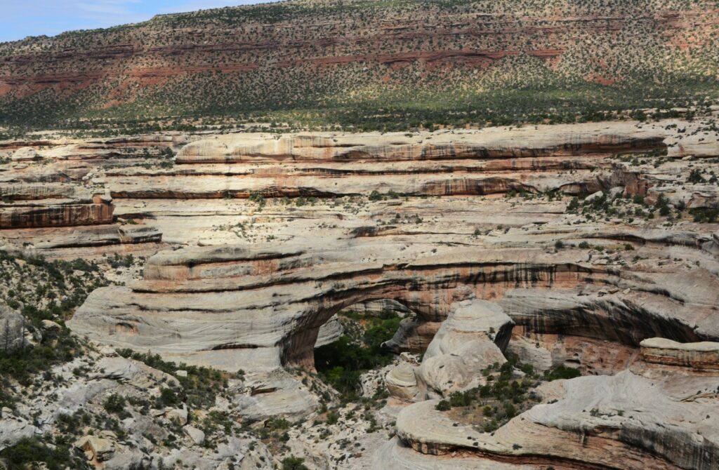
We started our visit at the visitors’ center where we learned the difference between a natural bridge, an arch and a window. A natural bridge is formed by flowing water. As streams wind back and forth in a canyon, the thin walls are worn through by the water pounding against them.
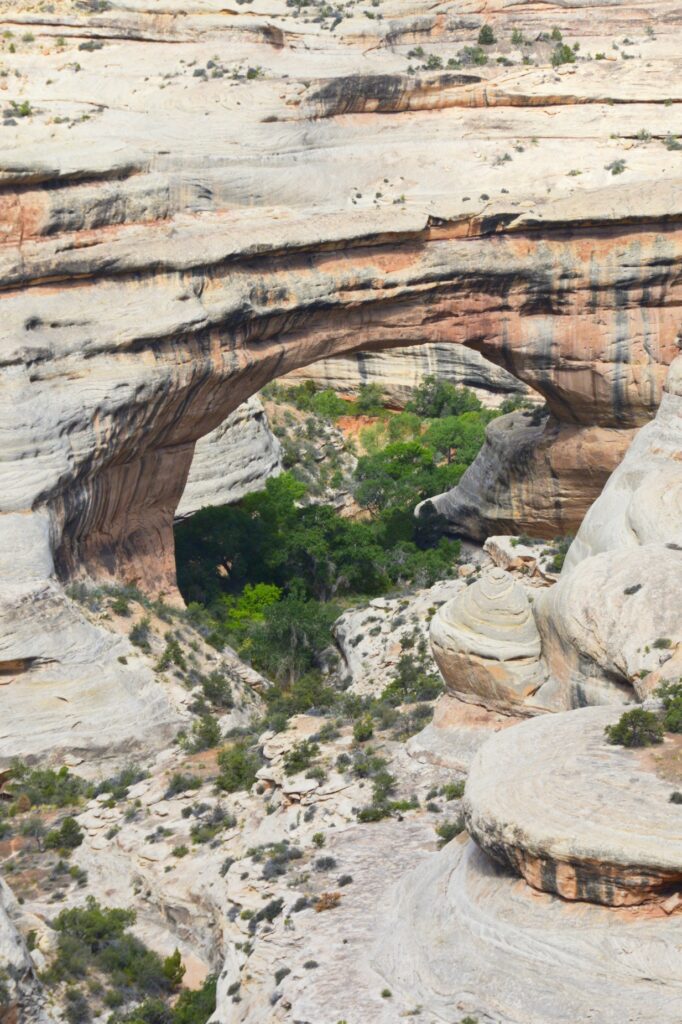
Sipapu (see-pa-pu) bridge was the first stop on the nine-mile Bridge View Drive through the park. It’s the largest of the three bridges. Its meaning has to do with an entryway by which the Hopi believe their ancestors came into this world. To give you an idea of its size, the dome of the United States Capitol would nearly fit underneath it. It is the second largest natural bridge in the U.S.
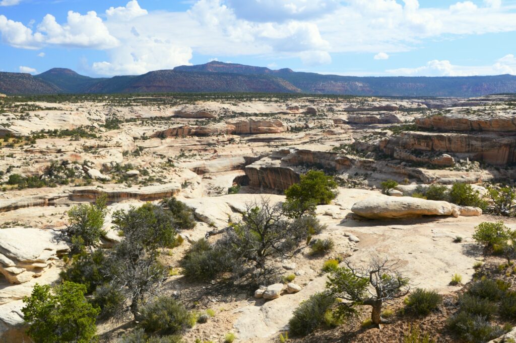
The drive along the canyon was beautiful. There were swirls in the rocks that showed water was a factor in forming the rocks we see today.
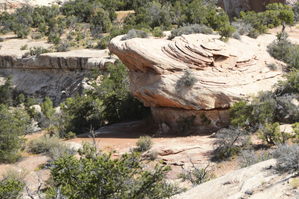
Kachina Bridge was harder to see because trees obscure the opening. It is smaller than Sipapu Bridge, but has a massive amount of rock above it.
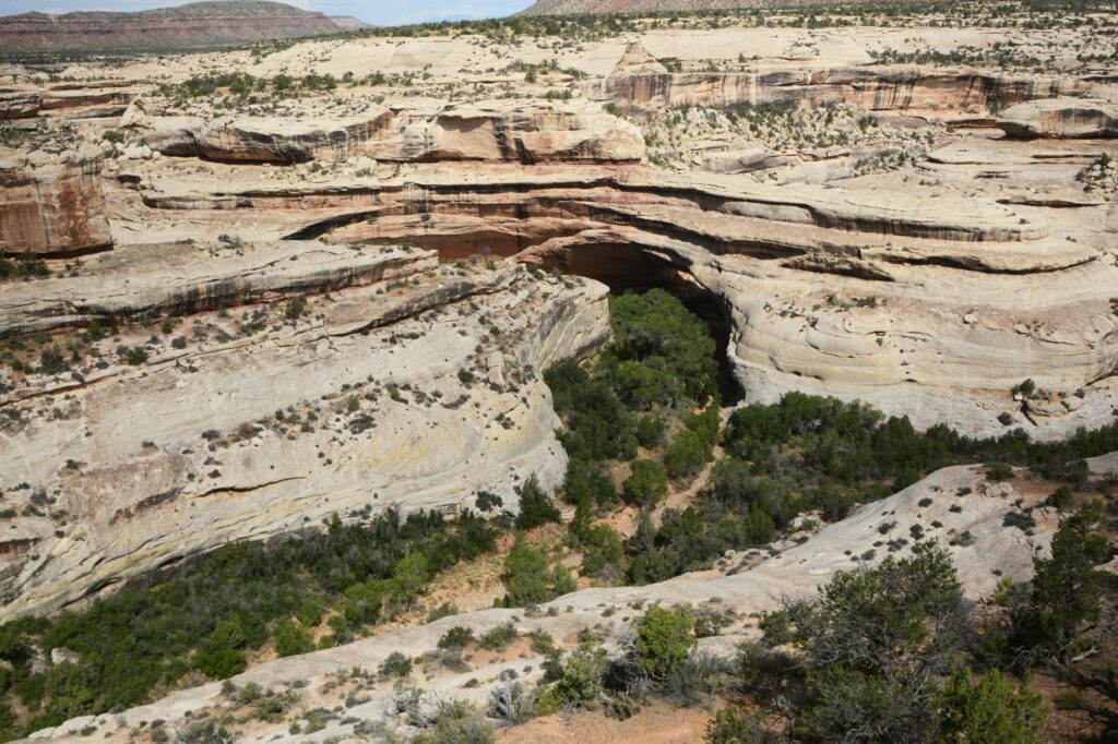
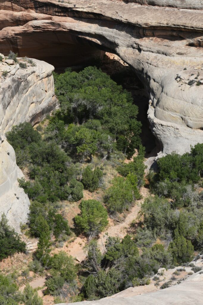
The Owachomo Bridge is the smallest and thinnest of them all. A rock mound on the east end of the bridge is why it is named Owachomo. The word means “rock mound” in the Hopi Indian language.
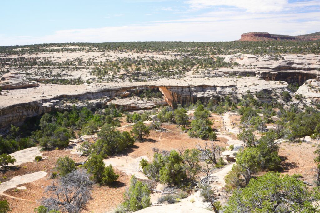
You can see that the rock on the top of this bridge is much thinner. Some believe it may be the oldest of the three because of the amount of erosion, but no one can tell for sure.
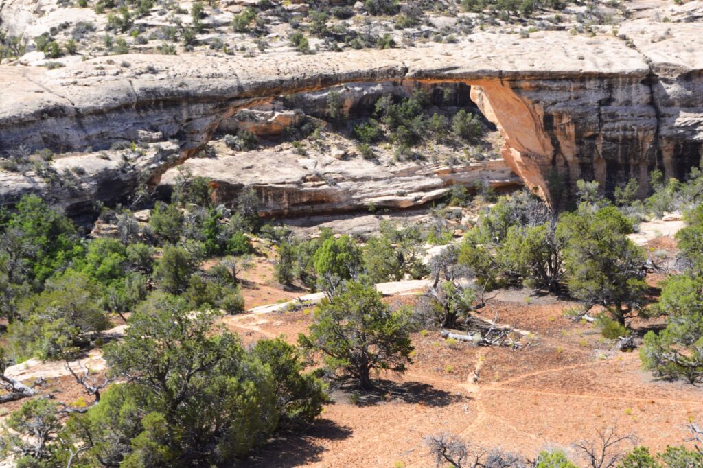
It was very hot that day, so we didn’t take any hikes down to see the bridges from below. The viewpoints from above don’t really showcase the enormity and size of the bridges. Perhaps someday we will return during a cooler time and take some of the hikes.
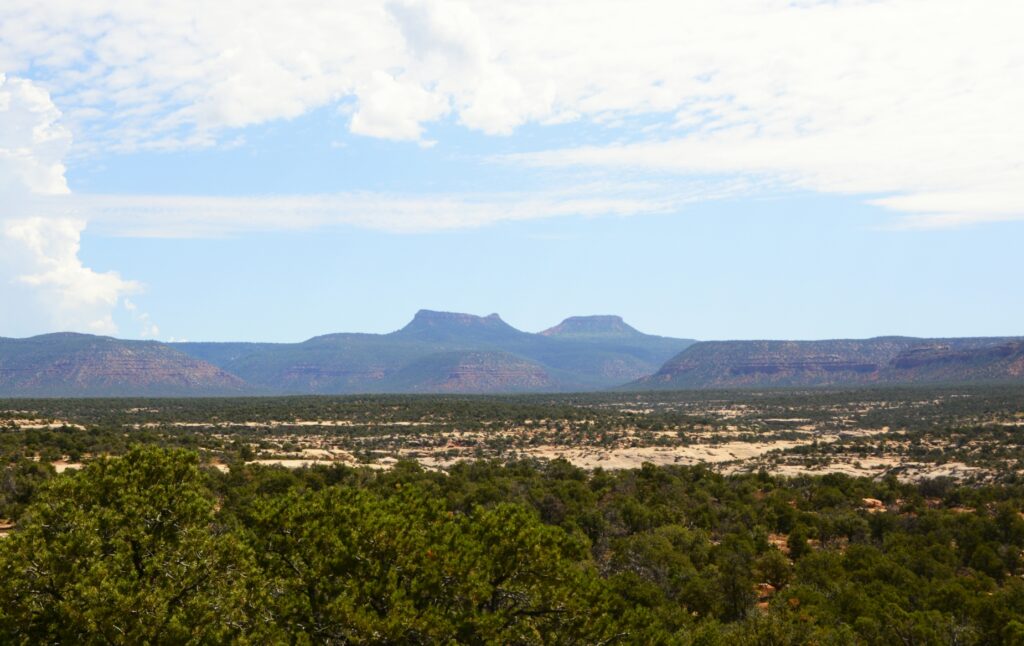
It was time for us to return to our campground. We ate our sack lunch and headed home. On our way out the park, I saw a sign about Bears’ Ears National Monument. I had been seeing signs for it, but didn’t know what to look for. In the distance were the Bears Ears for which the national monument is named. Someday, maybe we will explore it also.
“Great are the works of the Lord;
They are studied by all who delight in them.” Psalm 111:2
