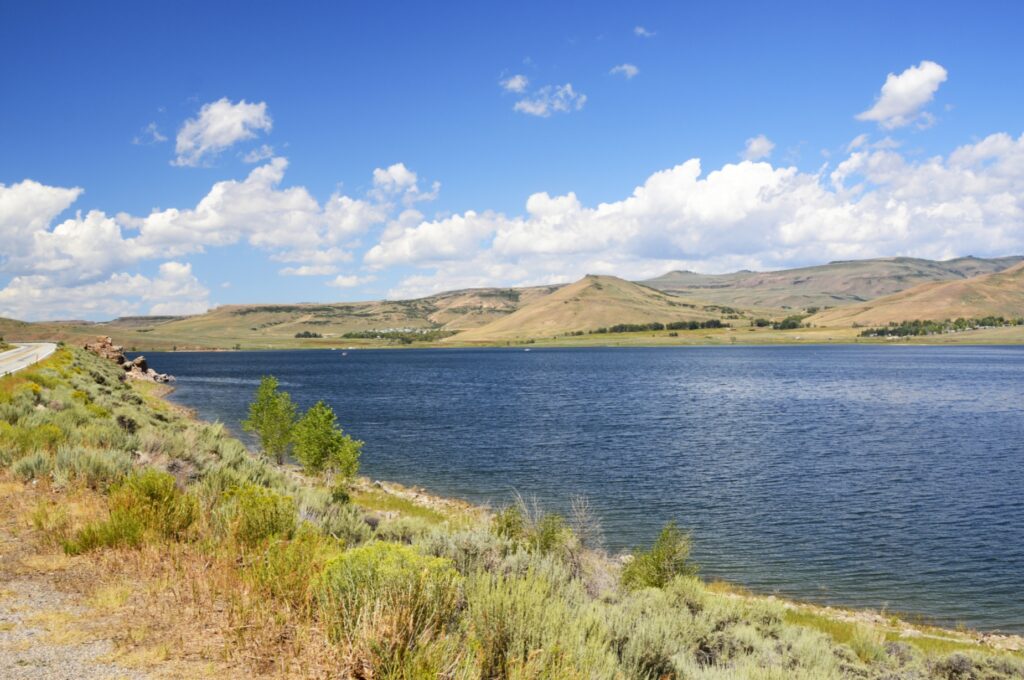
In the previous blog, I mentioned this bridge. It crosses the Gunnison Reservoir on the way to Lake City. One day we took a drive to explore this little mountain town.

Looking back across the lake, we could see our RV park snuggled on the hillside (on the left).
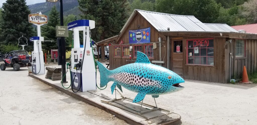
It was about lunch time when we arrived. Since we didn’t bring a picnic lunch that day, we stopped at Sportsman’s BBQ Station for lunch and got some pulled pork sandwiches. As you can probably tell by the blue fish, fishing is a popular pastime in Lake City, Colorado.
Lake City, population 432, gets its name from Lake San Cristobal, which is about a mile outside of the town. The lake had an interesting beginning, which I will tell more about shortly.
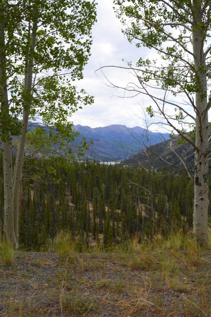
Lake City is situated in a valley surrounded by mountains of the San Juan mountain range. At 8,661 feet in elevation, it is a nice place to escape the summer heat. August is their wettest month. Although we didn’t get rained on, we did see some ominous looking thunderheads while we were there.
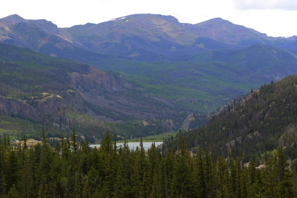
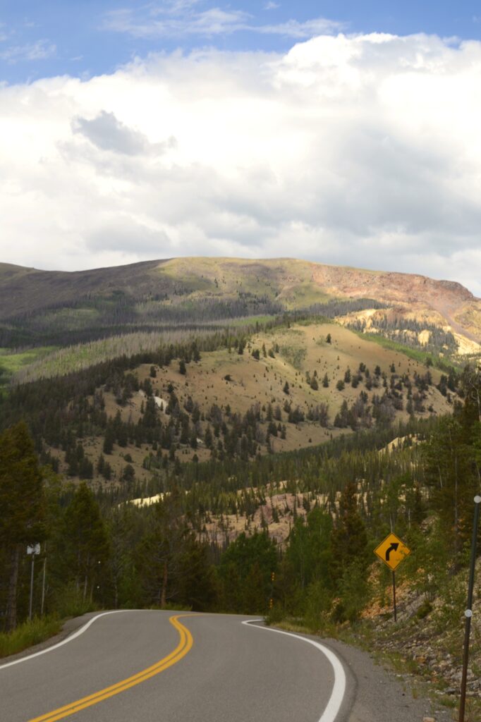
After lunch, we drove south over the mountain pass on Highway 149. As we drove out of town and gained elevation, we could see over the valley of Lake City.
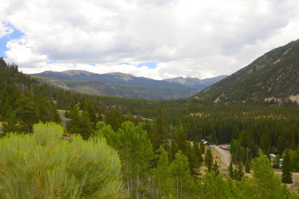
The signs upon entering Colorado say, “Welcome to Colorful Colorado.” It is certainly true of the mountains. They are very colorful.
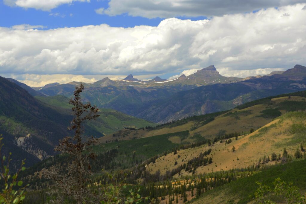
We stopped at a viewpoint overlooking the valley. The tallest peak that looks like the Matterhorn is Uncompahgre Peak which is over 14,000 feet. Two peaks to the left of it, is Matterhorn Peak at 13,500 feet. The next one to the left is another 14’er. It is Wetterhorn Peak. And the last one is Broken Hill at a little over 13,000 feet. They are all a part of the San Juan Mountains.
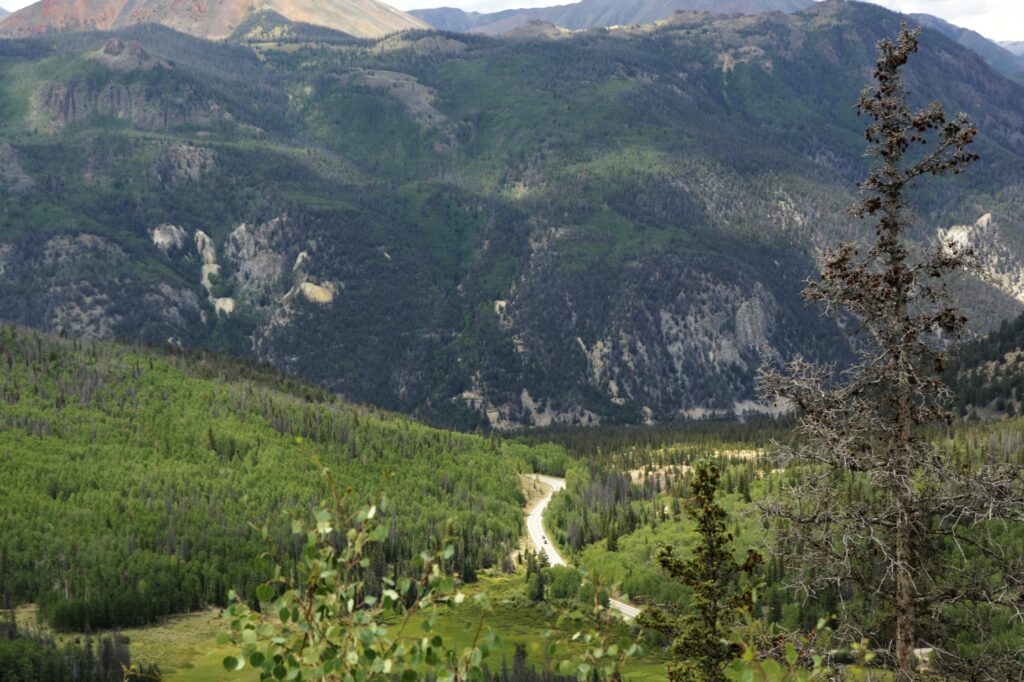
The mountain pictured below is responsible for forming Lake San Cristobal. About 850 years ago, thousands of tons of water-saturated earth broke away and slid nearly four miles into the valley below. This was called the “Slumgullion Earthflow.” It blocked the Lake Fork of the Gunnison River and formed Lake San Cristobal. It is the second largest natural lake in Colorado.
About 350 years ago, another part of the mountain slowly slid down over part of the previous slide and continues today at a rate of 20 feet per year.
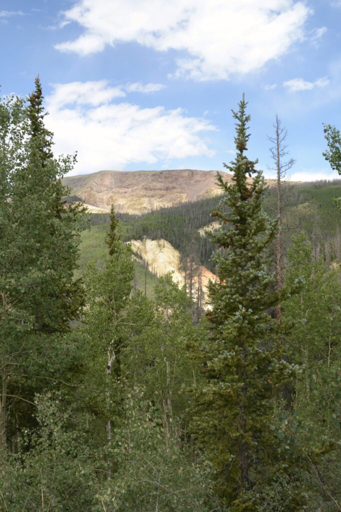
Other mountains in the surrounding area have names that fit their description, like Red Mountain and Grassy Mountain.
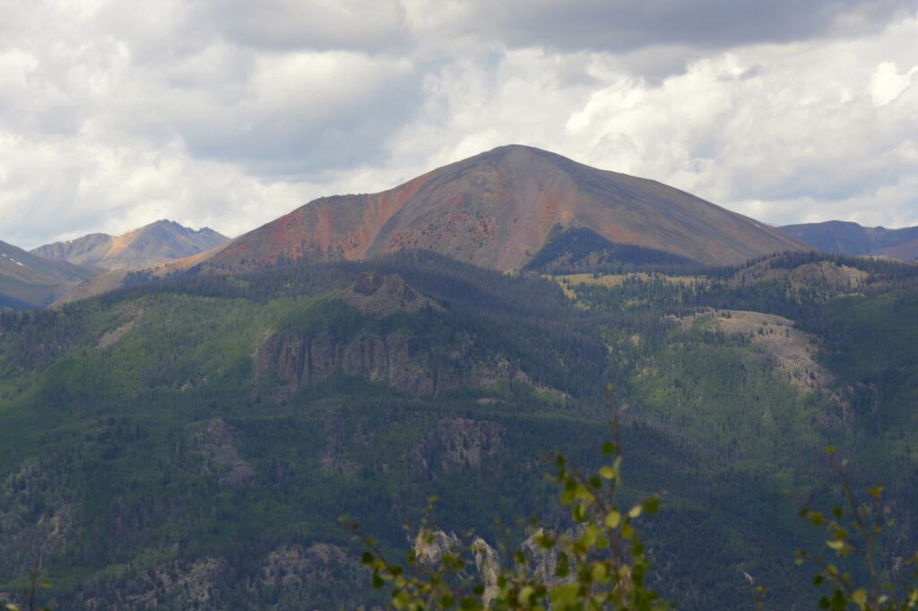
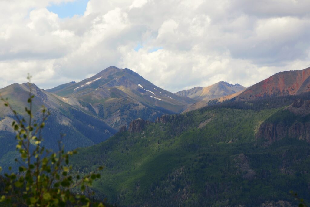
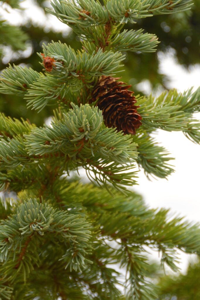
The trees were mostly spruce trees with aspen trees scattered in groups here and there.
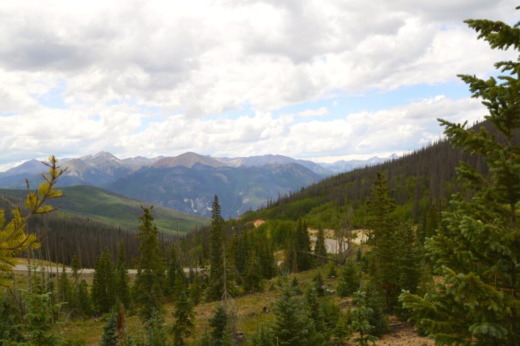
We weren’t quite at the summit of the Slumguillion Pass, so we kept going. We wanted to see what was on the other side of the mountain!
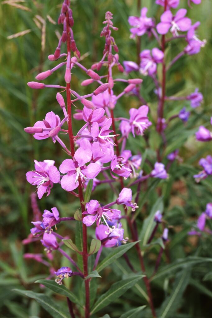
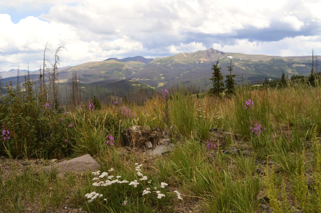
At the higher elevations, we spotted some wildflowers. Fireweed and yarrow were prevalent.
When we made it to the top of the pass, this is what we saw–mountains in every direction. The wild flowers were blooming in the cool mountain air. The peaks showed a few remaining patches of snow.
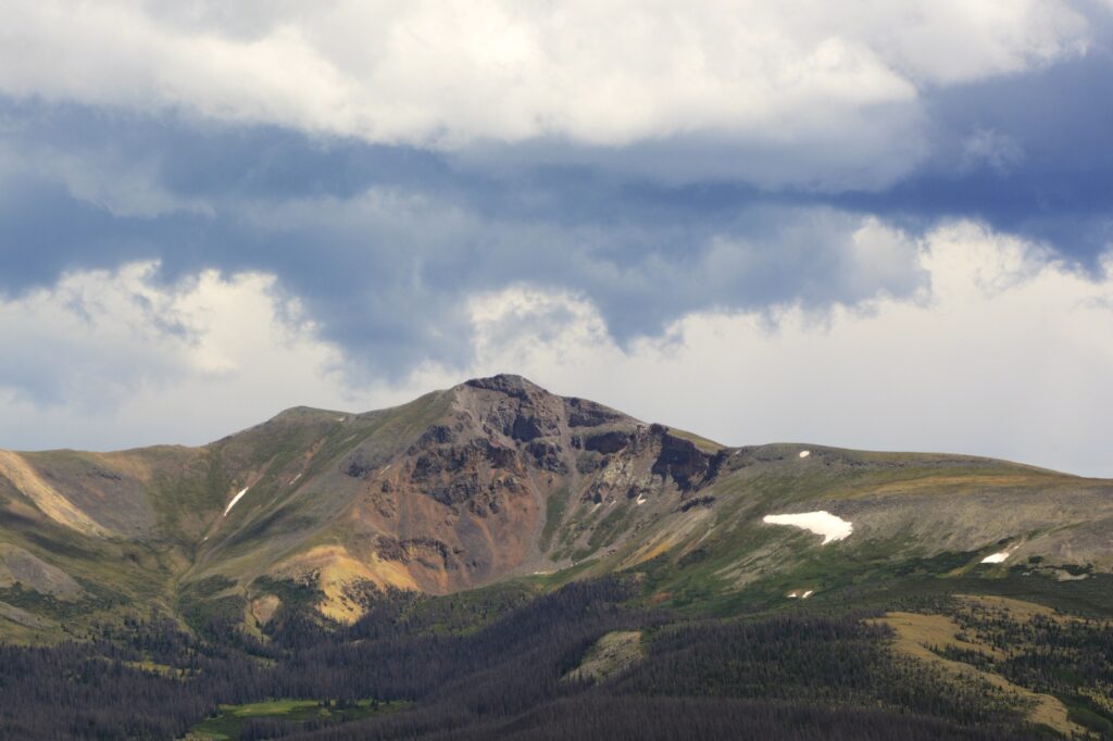
One other mountain looked like it also had a portion of it collapse and slide down the side of it. At 11,361 feet, we were above the treeline. The other side of the mountain looked very similar to the side we’d just climbed over.
The afternoon rain clouds were moving in, so we decided to head back to Lake City. If we had kept going, we would end up in South Fork at the junction of US Highway 160 that leads to Durango.
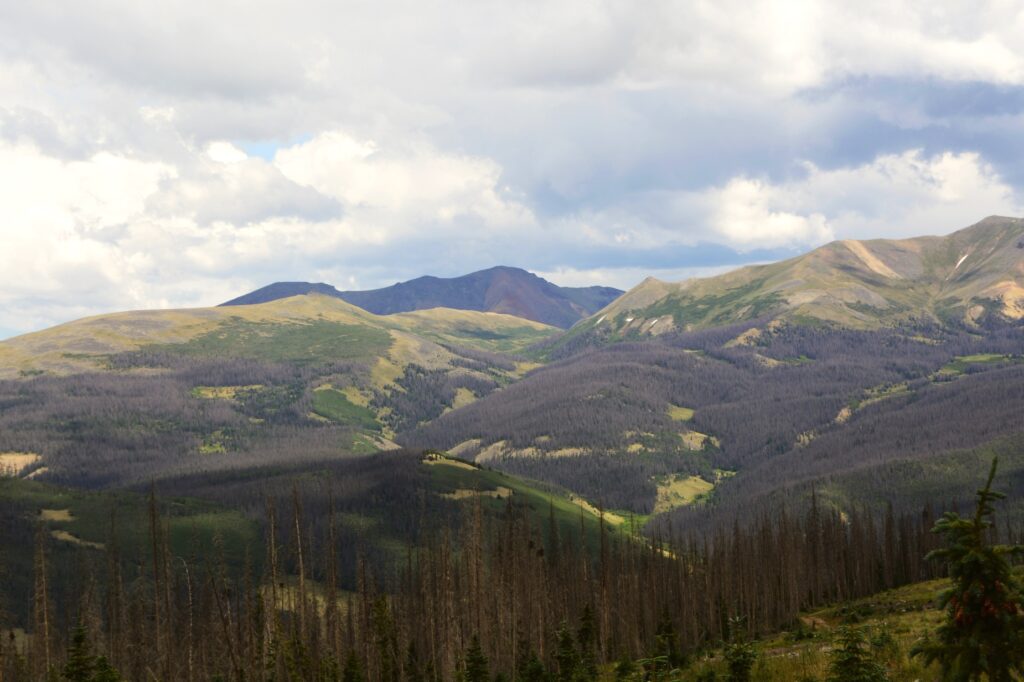
On our way back, the sun came out and spotlighted a portion of the mountains. We drove back down the mountain and into Lake City. For such a small town, it seemed quite busy.
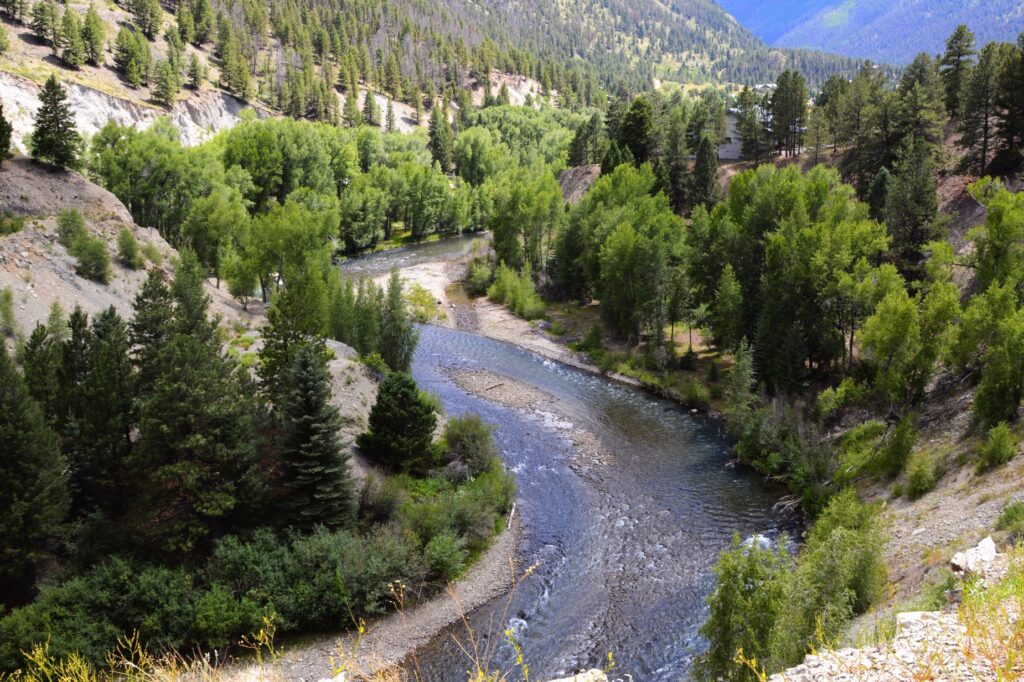
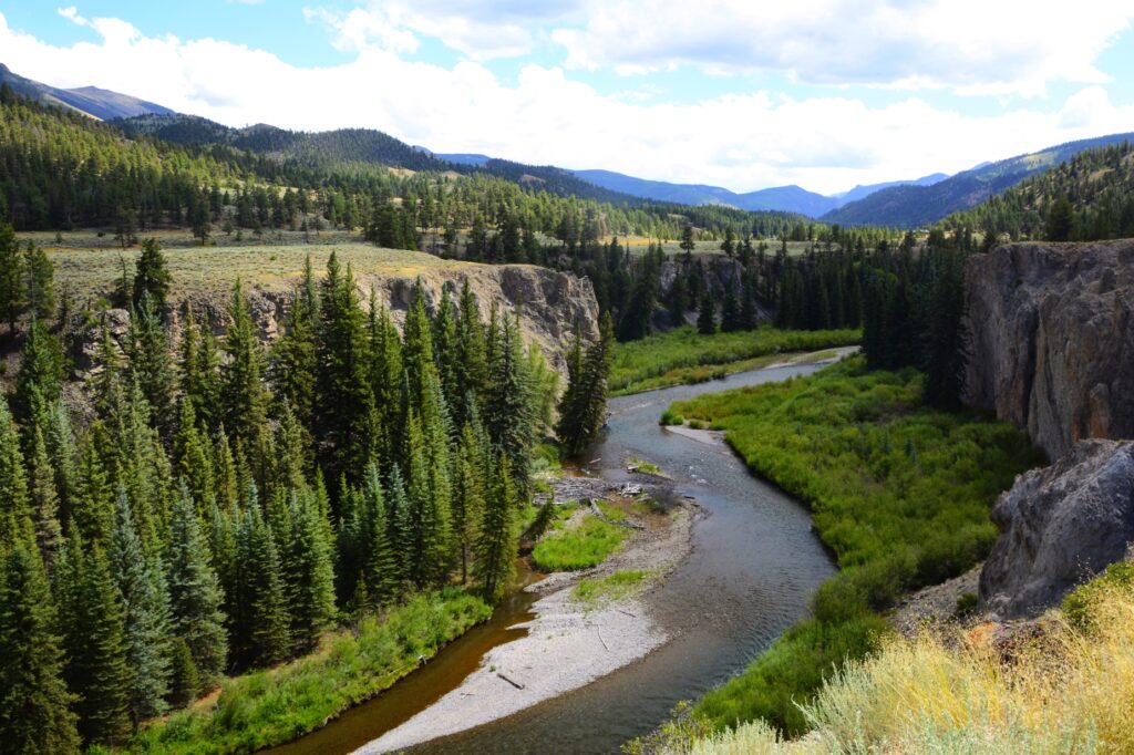
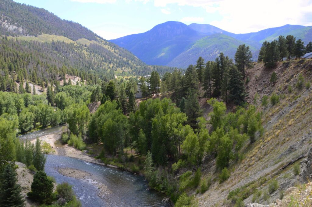
On our way out of the town of Lake City, I found this beautiful spot on the Lake Fork of the Gunnison River. The road follows the river for many miles. There are beautiful gorges and rocks that make the drive very scenic.
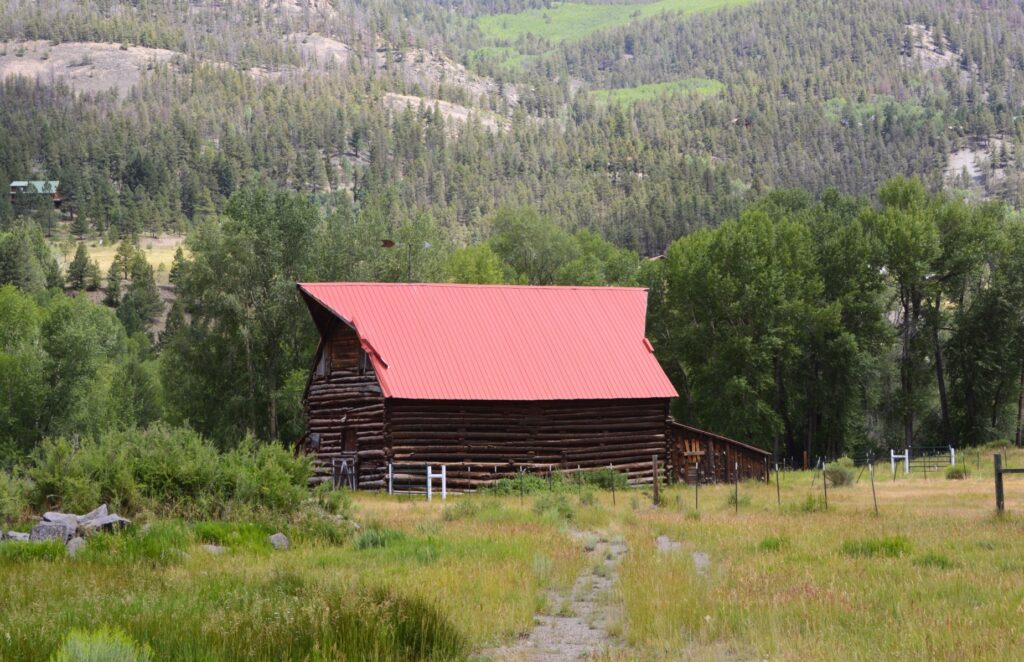
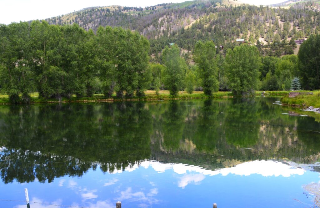
On our way we saw this scenic log barn situated by a small lake. There was no place to walk along the road, so I could only get photos of them separately.
We enjoyed our day trip to Lake City. The cool weather and beautiful scenery made it a lovely day.
“Before the mountains were born
Or You gave birth to the earth and the world,
Even from everlasting to everlasting, You are God”. — Psalm 90:2
