Concrete, Washington
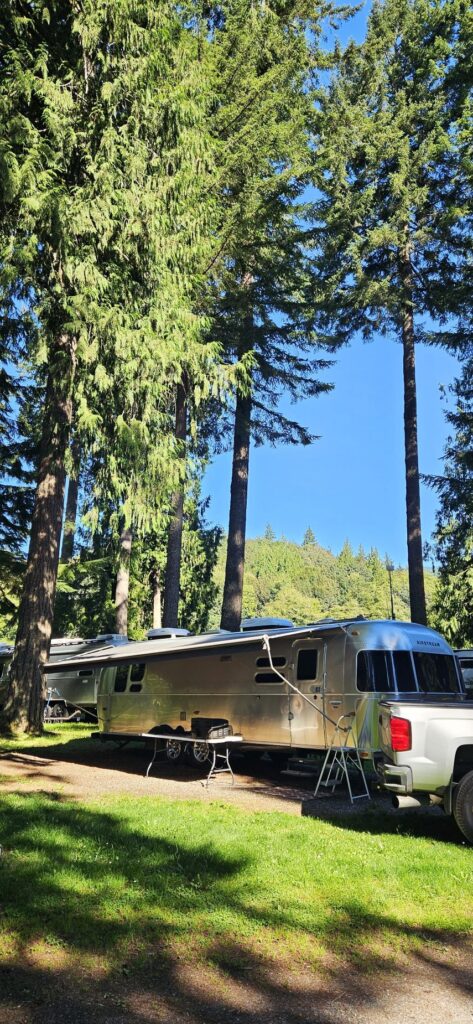
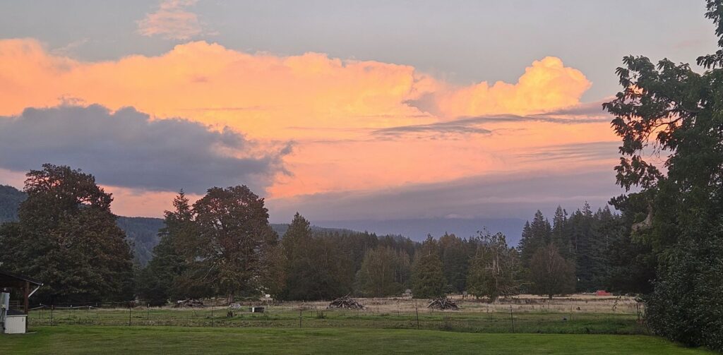
When we stayed near Concrete, Washington, in one of our Thousand Trails campgrounds, I considered it to be another one of the most beautiful campgrounds. We were among the tall trees in the Skagit River Valley of Washington state.
We were a few miles from the town of Concrete. Known as the gateway to North Cascades National Park, this town has a lot of historical character, such as these concrete silos at its entrance.
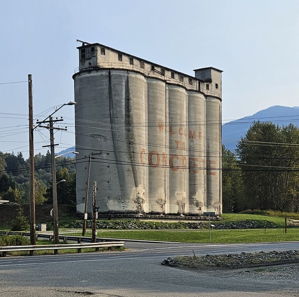
The first concrete plant in this town was built in 1905. Nearby was a limestone quarry. Today, it is a city park with a splash pad, playground, skate park and picnic area.
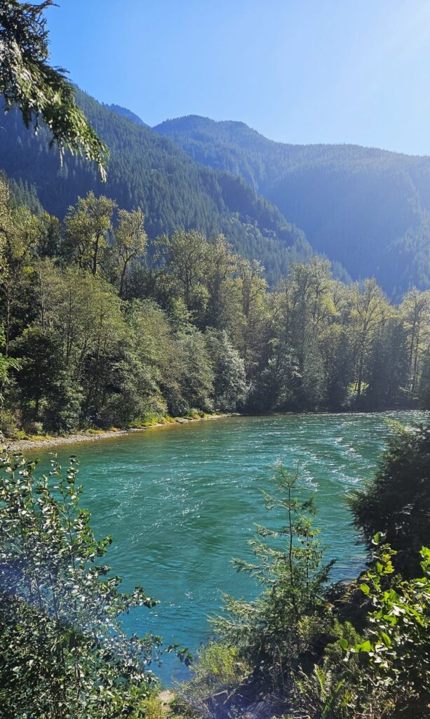
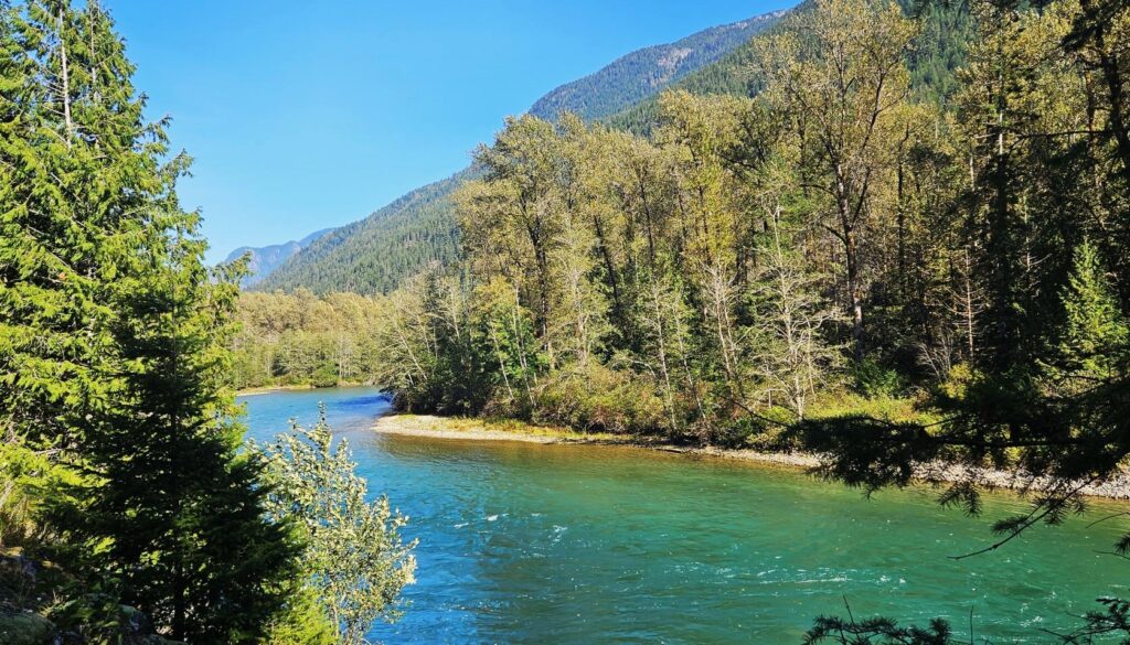
Highway 20 to North Cascades National Park goes right through Concrete and follows the Skagit River, a beautiful turquoise-blue waterway.
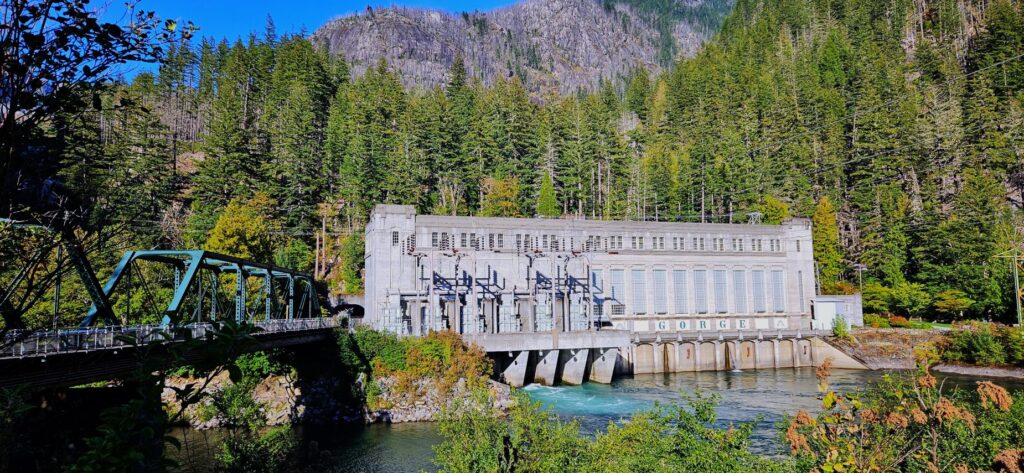
The Skagit River is also an important source of hydroelectric power for Washington. This is one of a series of powerhouses we passed on our way into North Cascades National Park. Hydro-electric power is of interest, especially to Ray, who worked at a hydro plant for several years.
There’s only one main road through this national park, which is scenic Highway 20. It continues through the park and through the rest of Washington, all the way to the Idaho border.
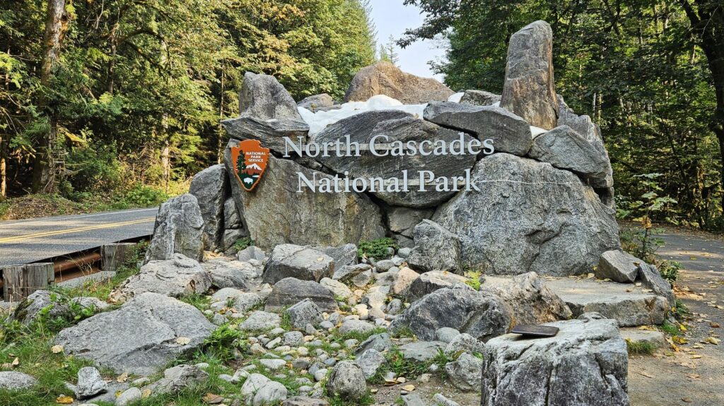
A description of the North Cascades is “mountains jutting sharply upward.” The mountains rise from 400 feet at the Skagit River to over 9,000 feet at Mt. Goode. With over 300 glaciers and multiple snowfields, North Cascades is the most glaciated area in the USA other than Alaska. However, not many were visible when we were there in late summer.
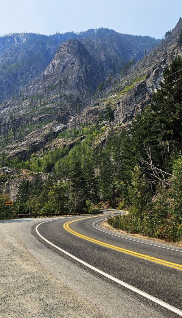
There were many wildfires in the park and surrounding areas on our first visit, so the skies were smoky.
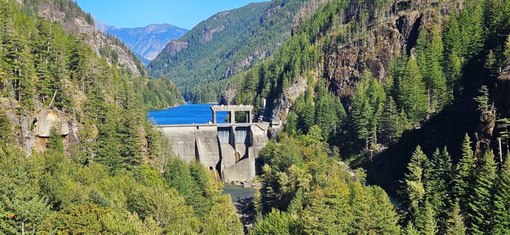
The Skagit River and its tributaries, the largest watershed that drains into Puget Sound, is one of many watersheds in the North Cascades. Dams like the one shown, not only provide hydro-electric power, but also flood control to areas downstream.
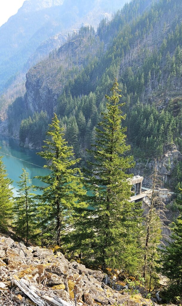
Gorge High Dam was built in 1961. Upstream from it are the larger dams of Diablo and Ross. Gorge Dam, shown previously, fine tunes the flows from the upper dams.
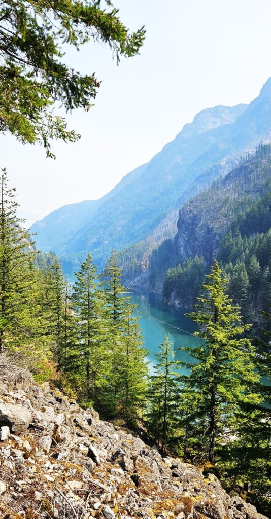
Fine silt from glaciers grinding against rocks washes into the lakes and rivers. This “rock flour” is suspended in the water and refracts the light to give the lake its blue-green color.
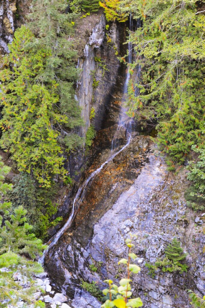
The steep mountainsides are perfect for the making of many waterfalls.The Cascade mountain range gets its name from the numerous waterfalls, and extends from northern California to British Columbia.
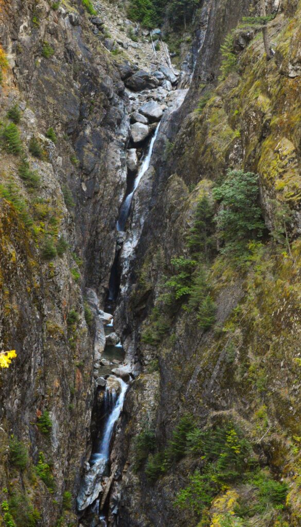
We visited in late summer when the waterfalls were at a minimum. There was a waterfall on each side of the road, so I’m not sure which one is Gorge Creek Falls.
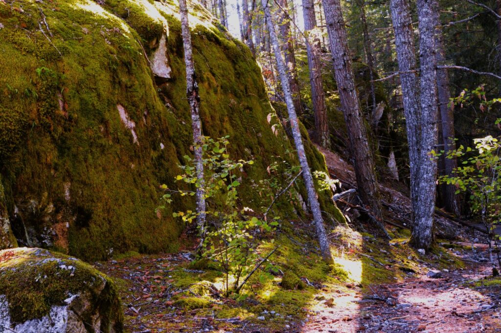
These rocks covered with thick green moss were really amazing and soft to the touch.
The next two photos were taken at Diablo Lake Overlook in nearly the same place. One was on our first visit when it was smoky, and the other on a clear day.
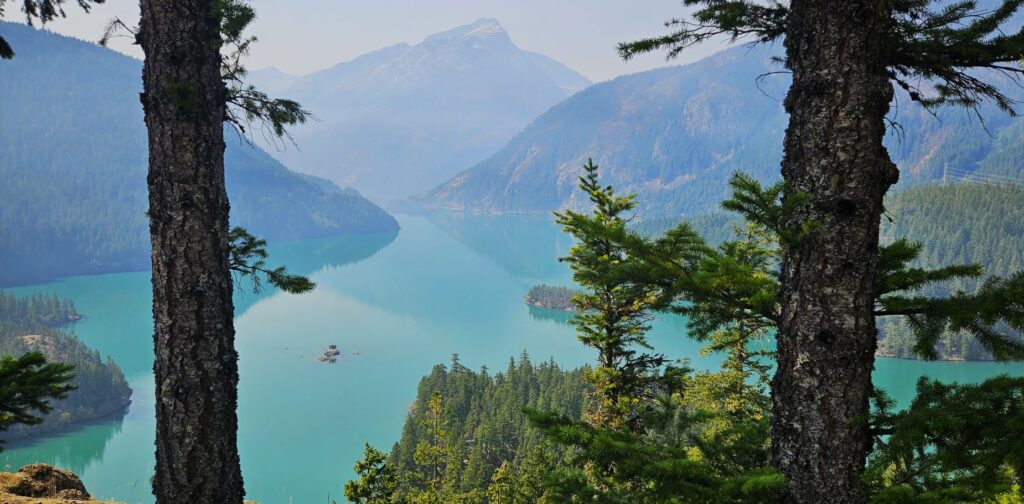
Diablo Lake was formed from Diablo Dam which was constructed in 1930. At that time, it was the tallest dam in the world rising 389 feet. Notice the islands in the lake.
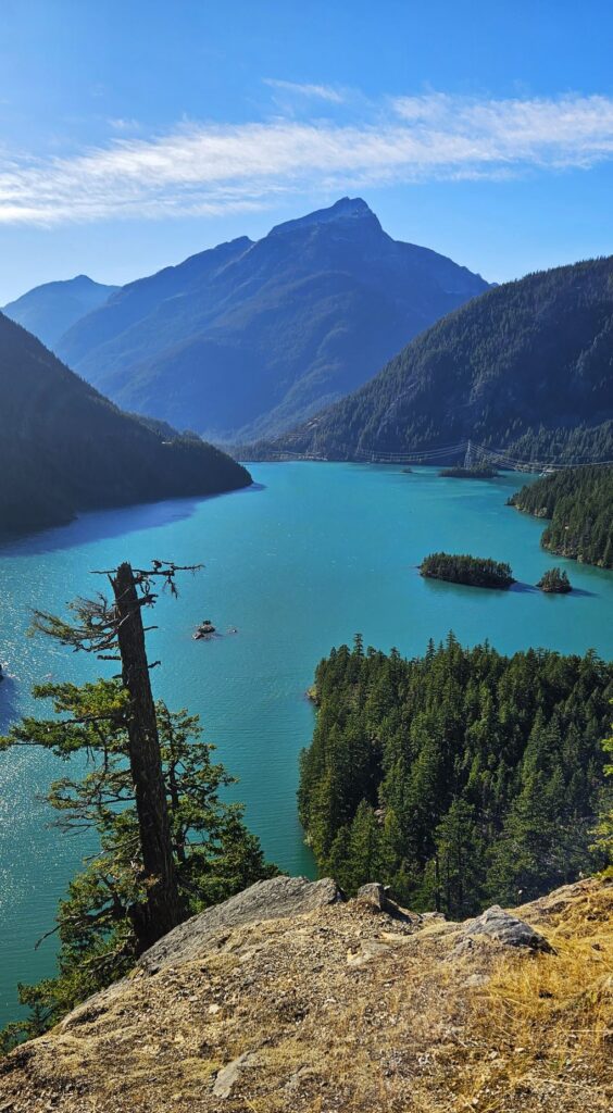
A close up of the islands in the middle of the lake made me realize the size of Diablo Lake, and how high the overlook. Though the islands look small from the viewpoint, they are home to full size conifer trees.
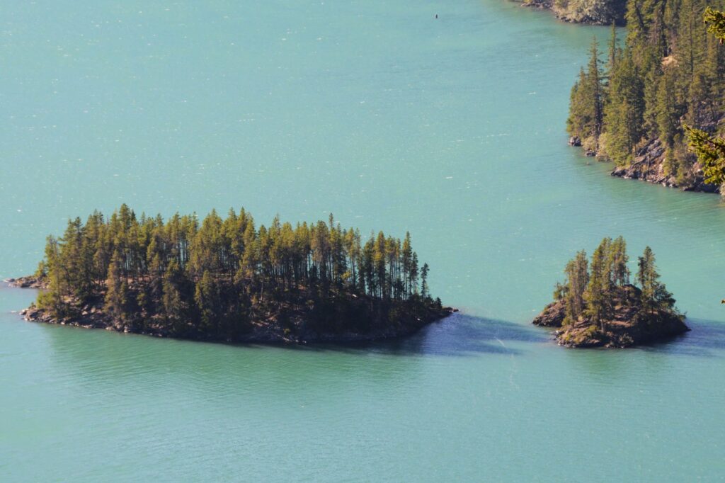
Diablo Lake is just one of 500 lakes and ponds scattered throughout the mountain landscape of the North Cascades.
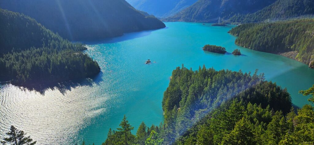
We drove further into the mountains until we were nearly to Washington Pass before we turned around and headed back home. It was a beautiful drive, in spite of the smoke.
For the mountains may move
and the hills disappear,
but even then my faithful love for you will remain.
My covenant of blessing will never be broken,”
says the Lord, who has mercy on you. Isaiah 54:10
