
Quincy, Washington
August, 2021
As we were making our way across Washington, we stopped for a couple of nights in Silver Creek, and then went on to on to Crescent Bar which is outside Quincy, Washington. From Silver Creek to Quincy was 213 miles–a longer drive than usual for us, as we try to keep it to 3 hours or less.
From Silver Creek, we drove Highway 12 through the most beautiful country. High mountains lined either side as we drove through thickly wooded forest with an occasional small town. The primary industry is lumber. We passed some sawmills with stacks of 2×4’s and other sizes of lumber. We were very near Mt. Rainer, but we couldn’t see it because of the mountains that blocked our view.
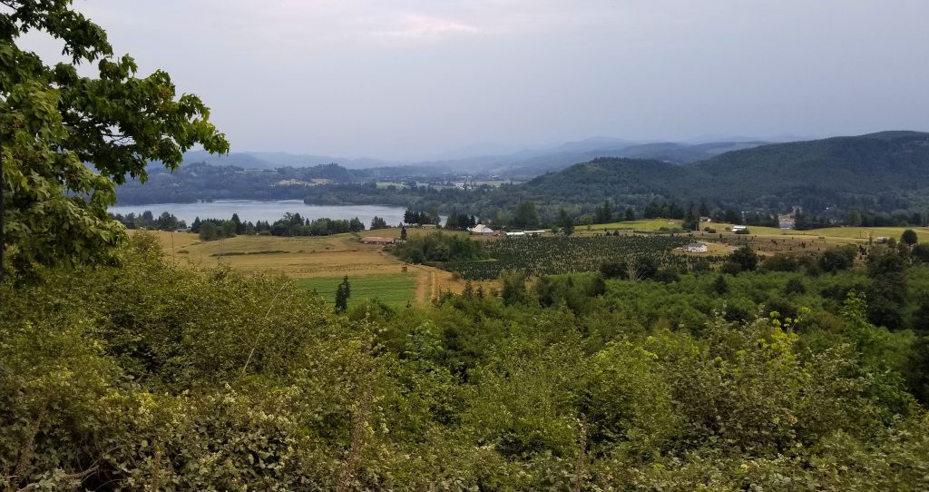
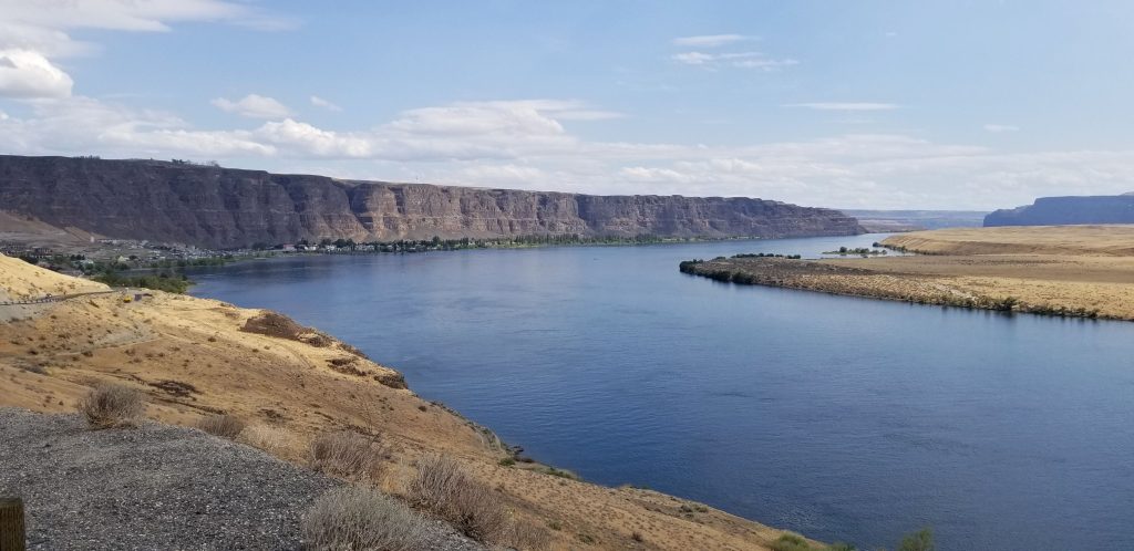
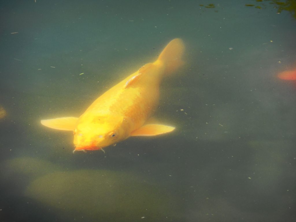
As we went further east, the terrain became dryer and the land changed to hay farms, dairies, apple orchards and Christmas tree farms all watered by irrigation. Our campground was on a cliff overlooking the Columbia River. The Columbia river makes a huge bend in the shape of a crescent. It is probably a mile or more across. There were mountains on the other side that made a beautiful background for sunsets. It was, however, very smokey when we got there. But later, a windy day and some rain cleared the sky.
Crescent Bar on the Columbia River
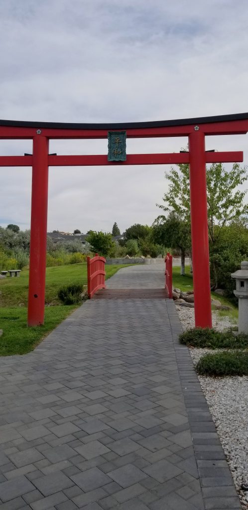
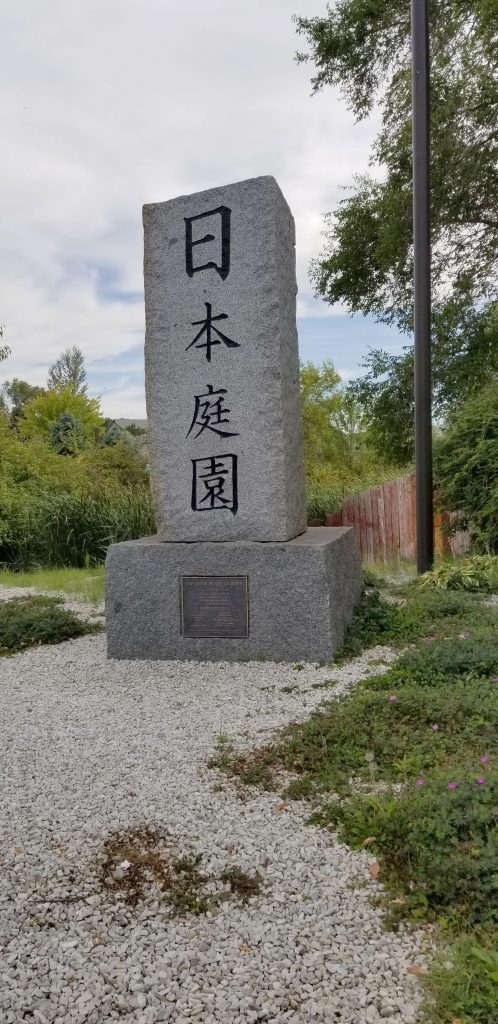
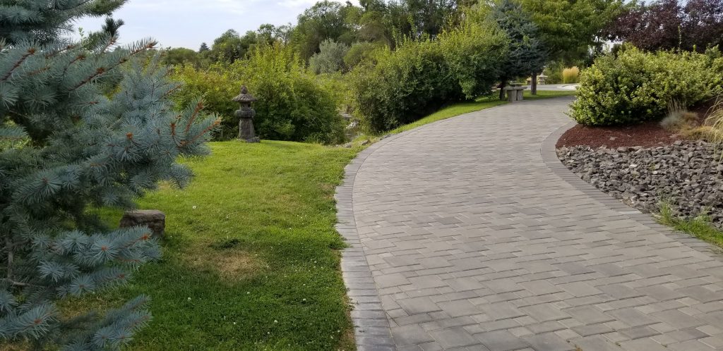
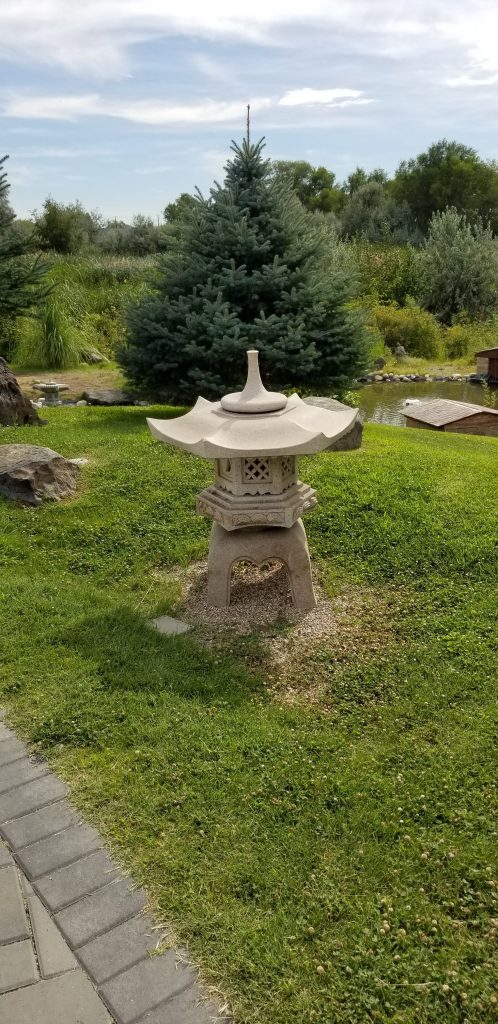
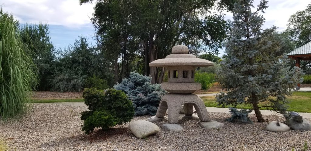
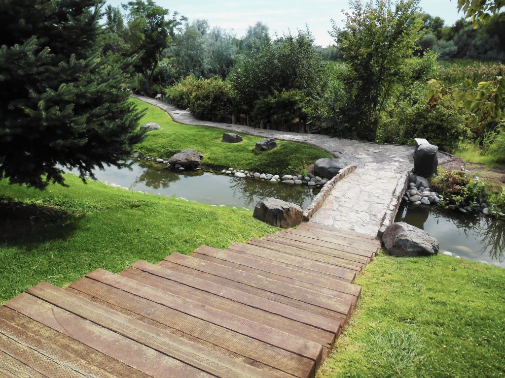
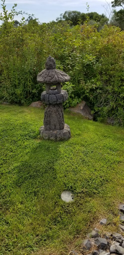
Japanese Peace Garden, Moses Lake, WA
We took a drive to Moses Lake, a town about 40 miles away, to see the Japanese Peace Garden. I couldn’t find any information about its history, who created it or why. It would have been a nice quiet place to enjoy if it hadn’t been so hot. We walked through quickly and got back into the car to cool off.
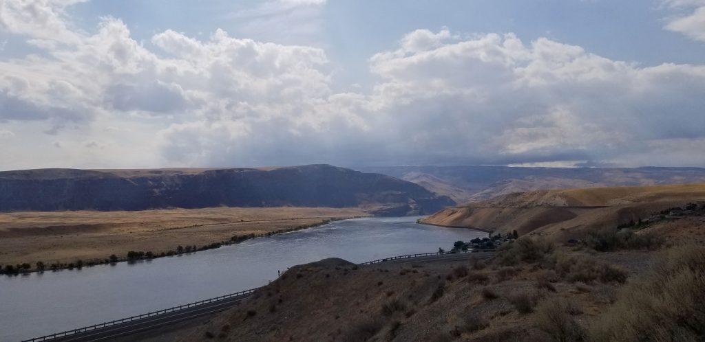
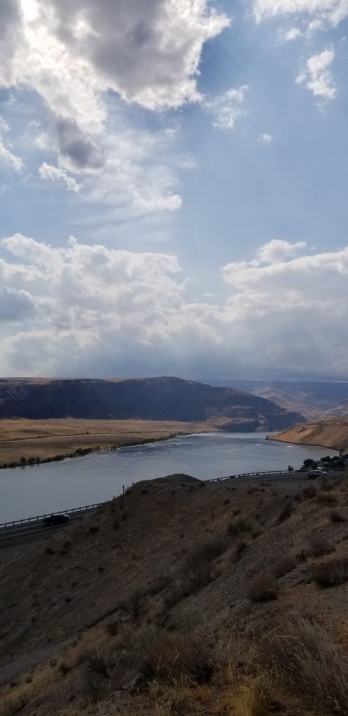
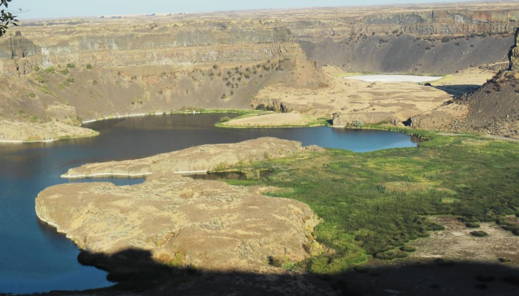
Another side trip we took while in Quincy, Washington, was a trip to Grand Coulee Dam about 75 miles away. The drive there was along a canyon with the Grand Coulee lake beside the road.
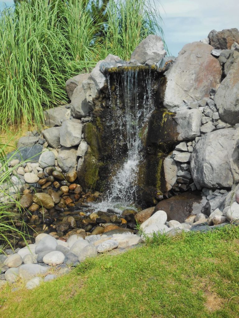
One of the scenic spots along the way was Dry Falls Visitor Center. The Visitor Center was closed, but the view of the dry falls was worth taking a photo. This area was once a huge waterfall when water broke through a glacial ice dam. The lake behind the dam was approximately the volume of Lake Ontario. The waterfall would have been 5 times the width of Niagara Falls and twice the height. Today, the falls are dry, hence the name.
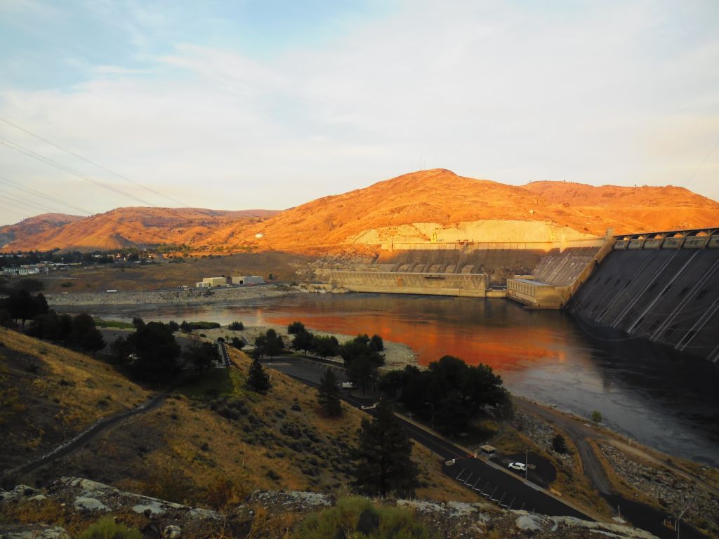
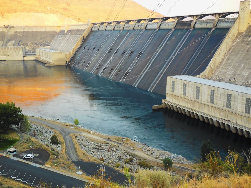
Grand Coulee Dam, Washington
We got to Grand Coulee Dam just before sunset. After dark, there is a laser light show that tells the story of the dam and the surrounding area.
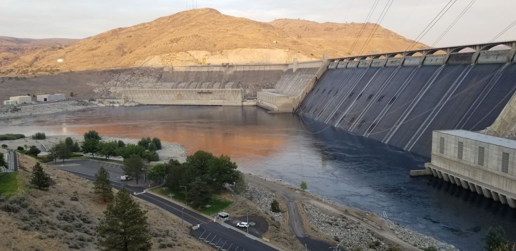
After dark, the spillway gates open and start spilling water until all the gates are completely spilling, creating a backdrop for the light show. Here they are before they start to spill.
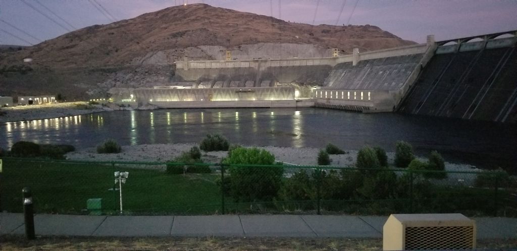
I was unable to capture photos of the light show. I got some short videos, but they really don’t do it justice. Even though we arrived home late that night after the light show, it was an interesting side trip worth the time.