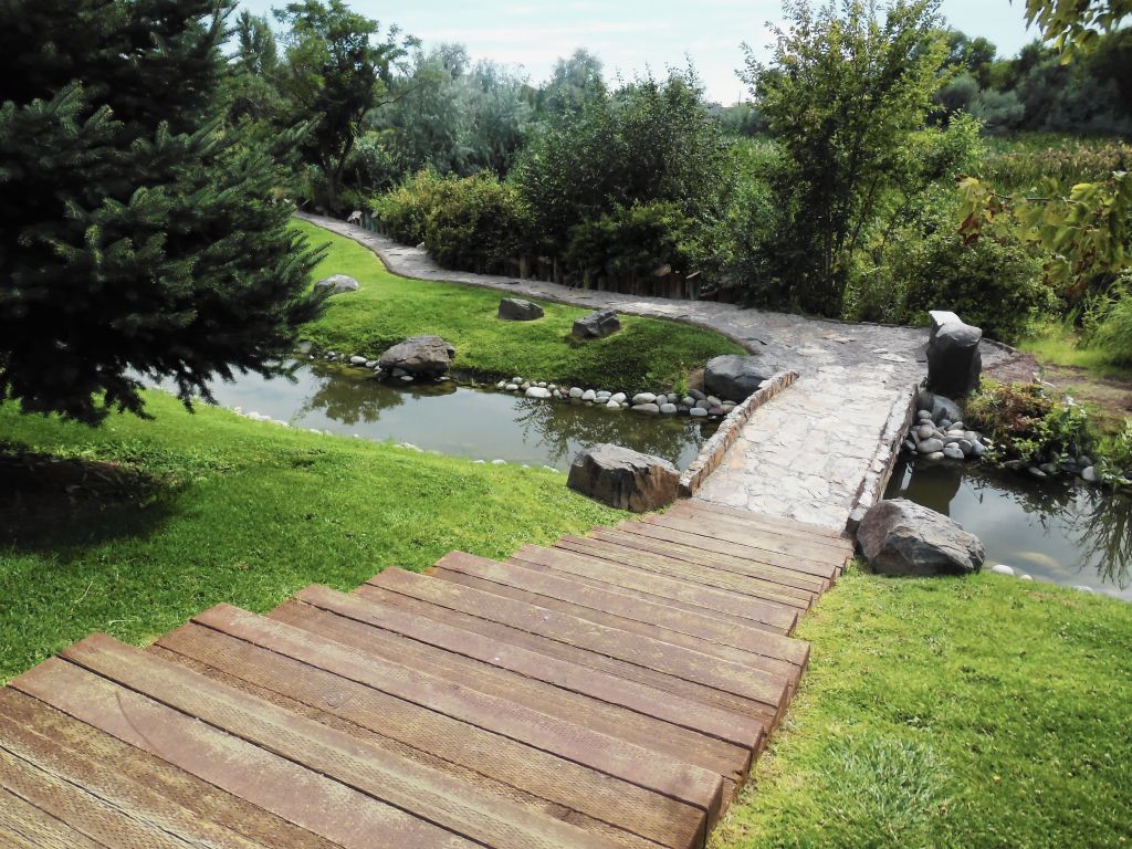
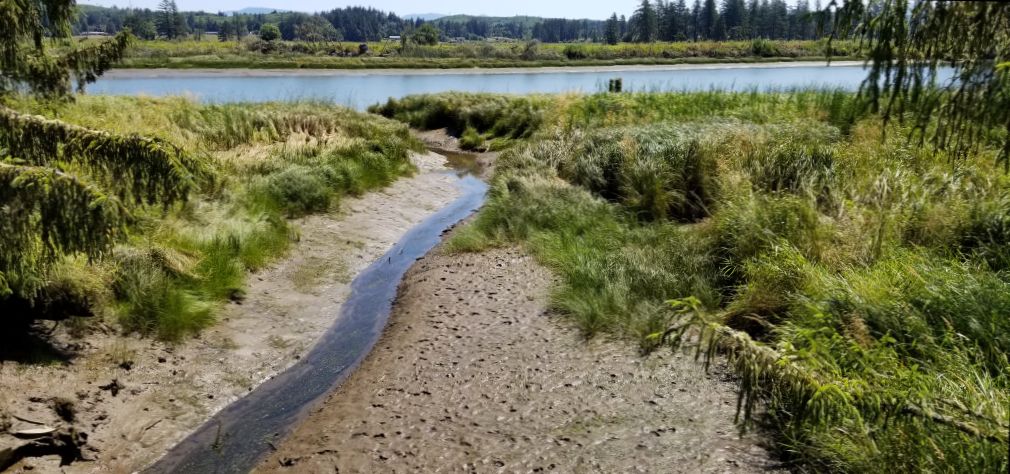
La Conner, Washington
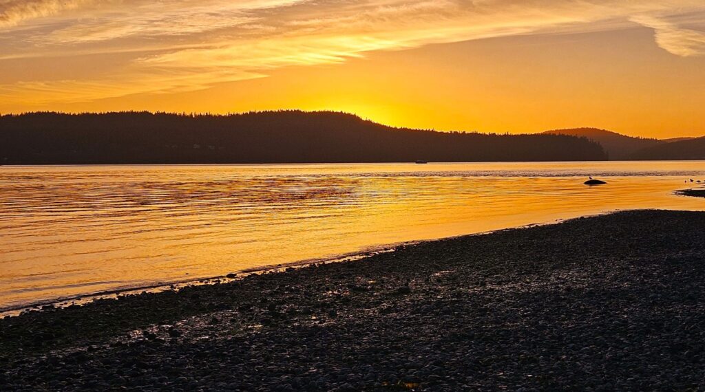
We had another beautiful campground in La Conner, Washington. It was right on Kilket Bay which connects to Puget Sound. A nice beach area was within walking distance of our campsite.
The weather was nice, for the most part, with foggy mornings that cleared up by noon. The evenings were nice for taking walks and watching the sunset.
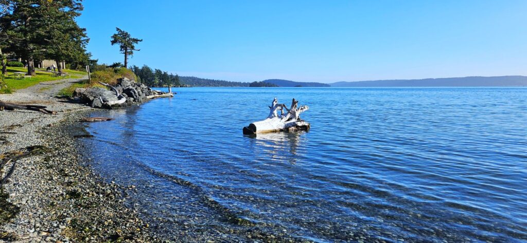
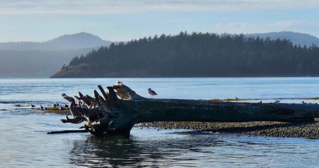
Deception Pass, Washington
Just across the bay from us and around the point was Deception Pass which opens into Puget Sound. This bridge is the only way to cross over to Whidbey Island by vehicle.
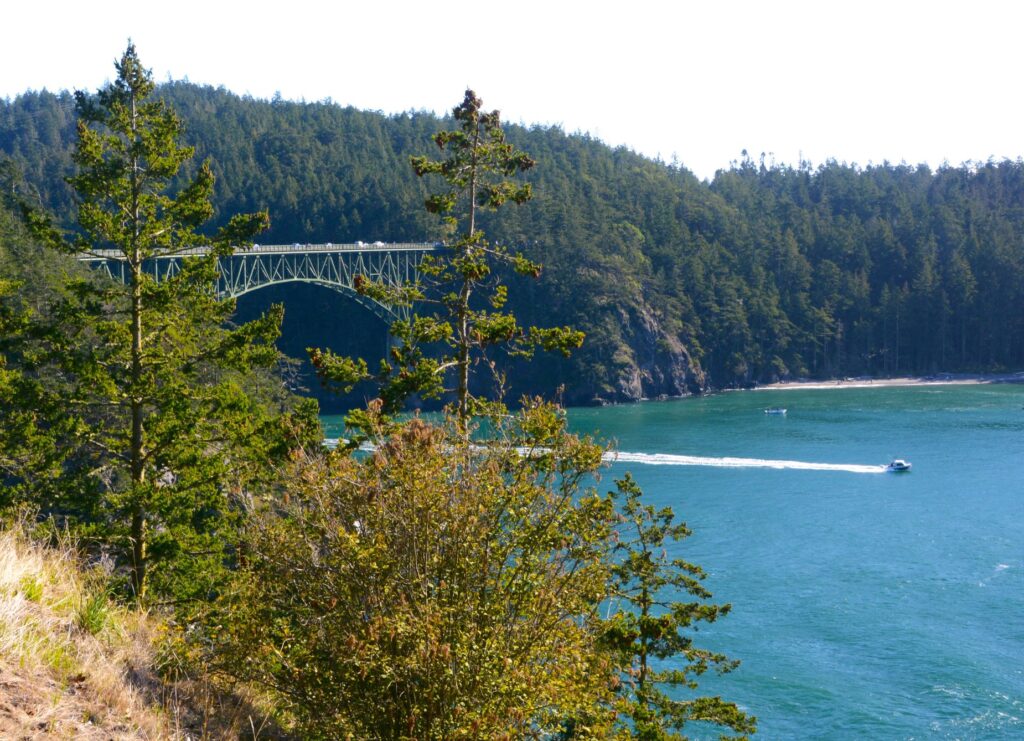
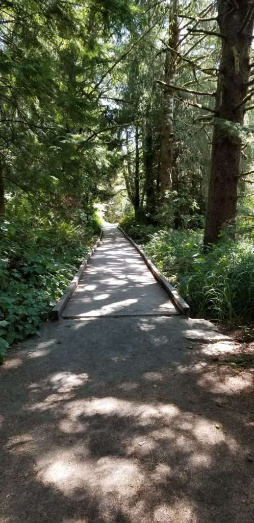
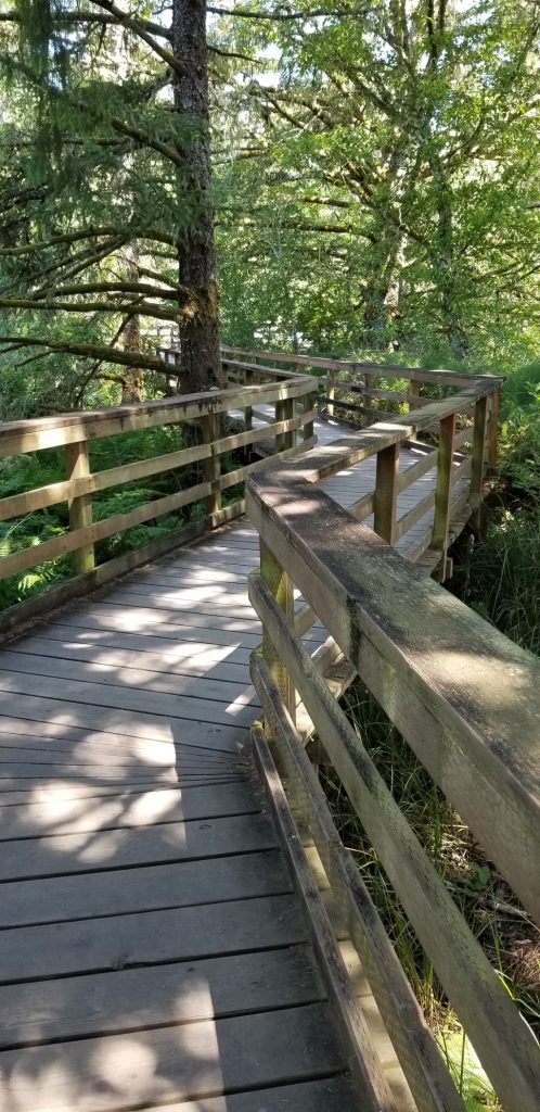
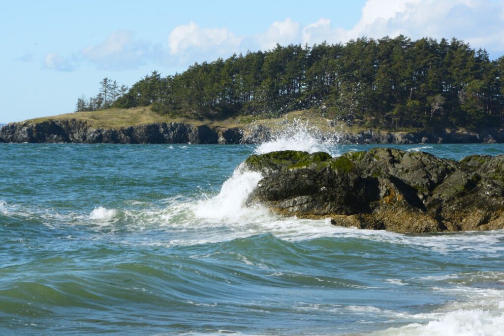
Deception Pass is a state park with scenic trails through old growth forest. Its rocky beaches are popular, especially on a sunny day.
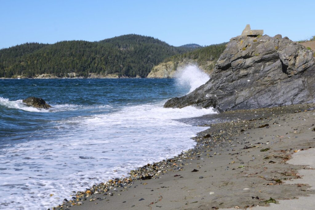
Tree covered islands dot the bay, while waves crash over rocks.
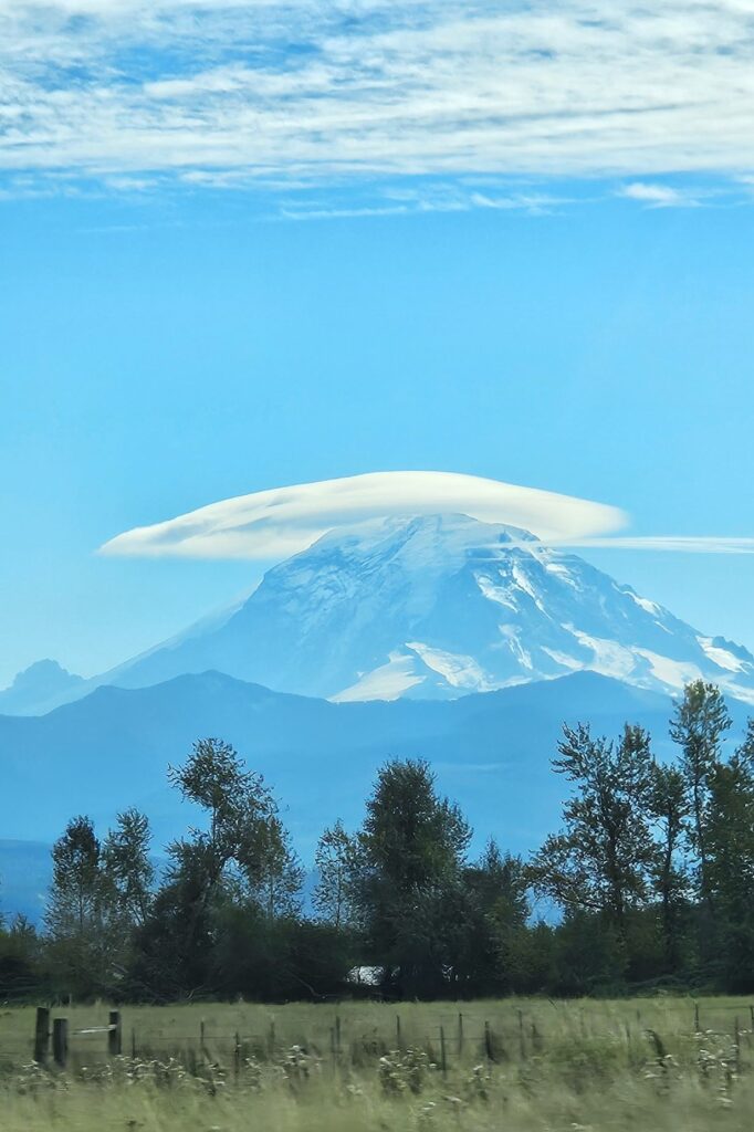
Leaving Washington
On one of our last days in northern Washington, I captured one last photo of the illusive Mount Baker from a distance. It was covered with a cap cloud once again.
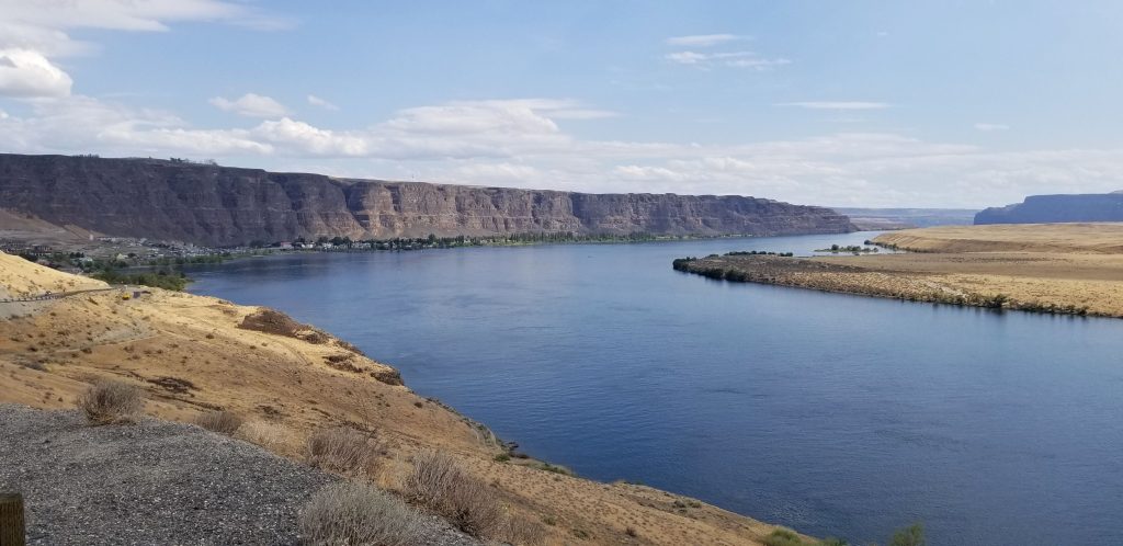
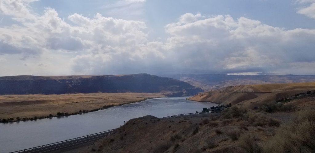
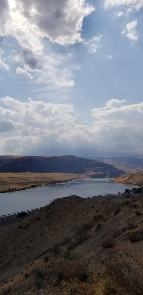
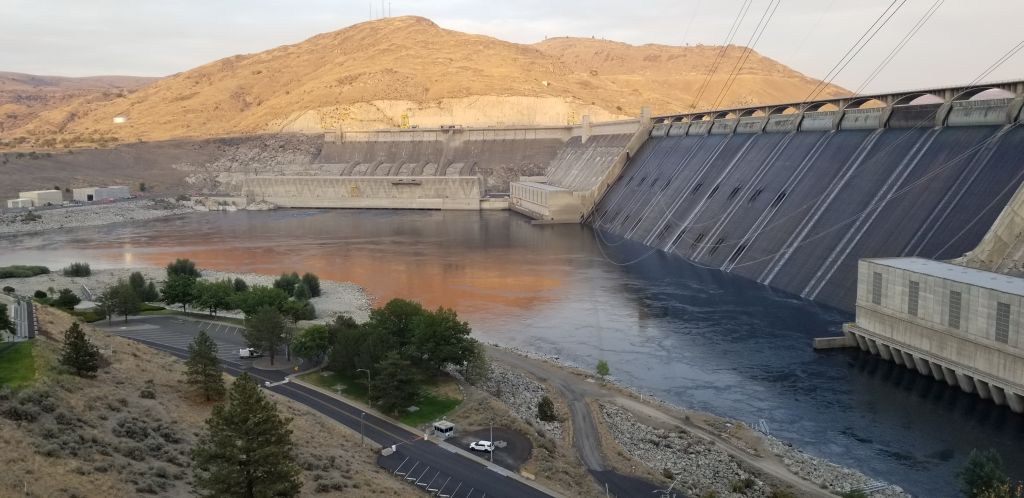
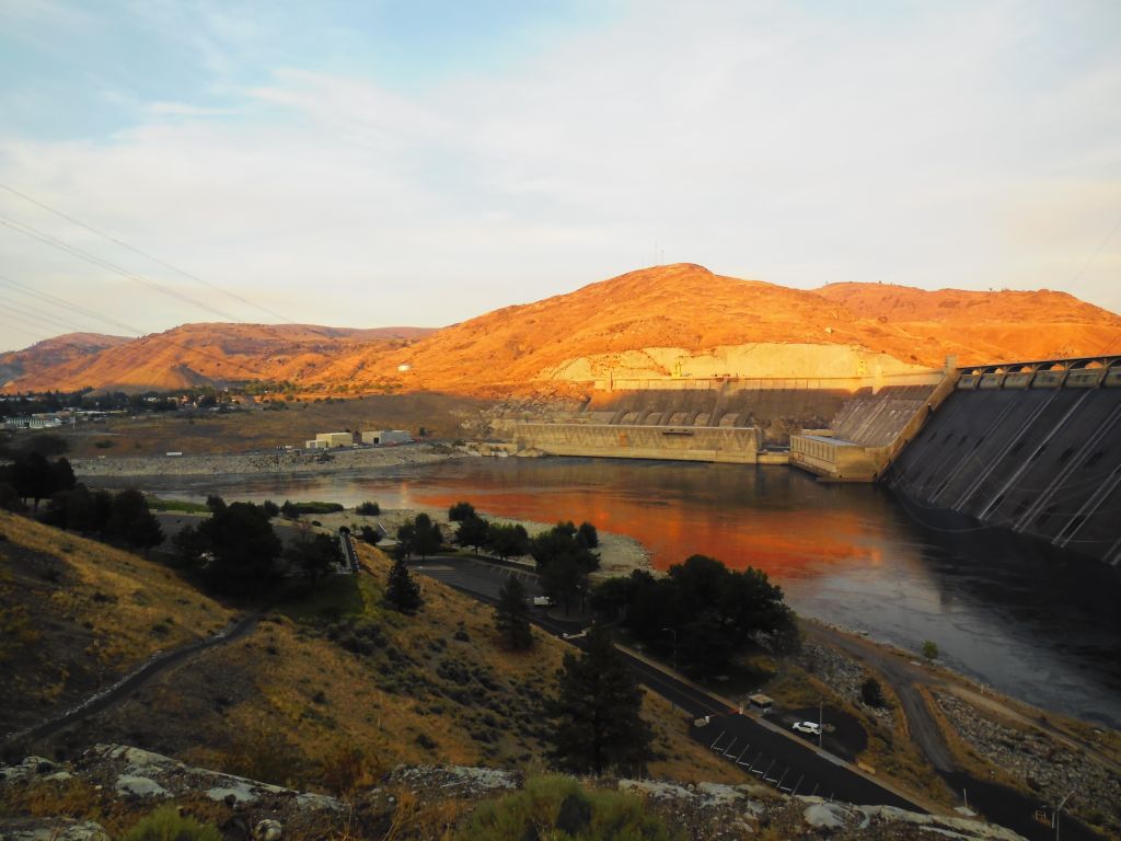
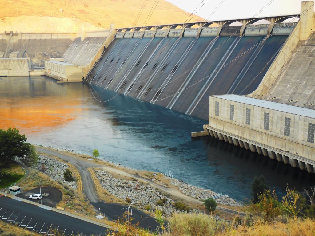
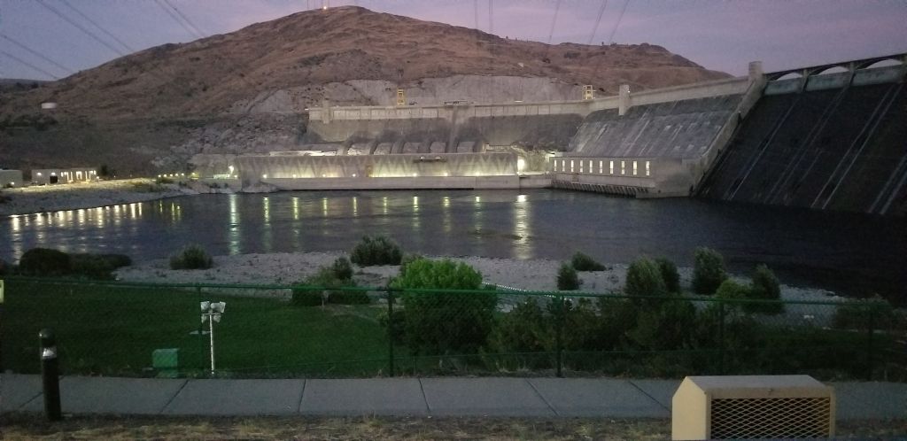
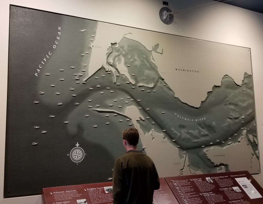
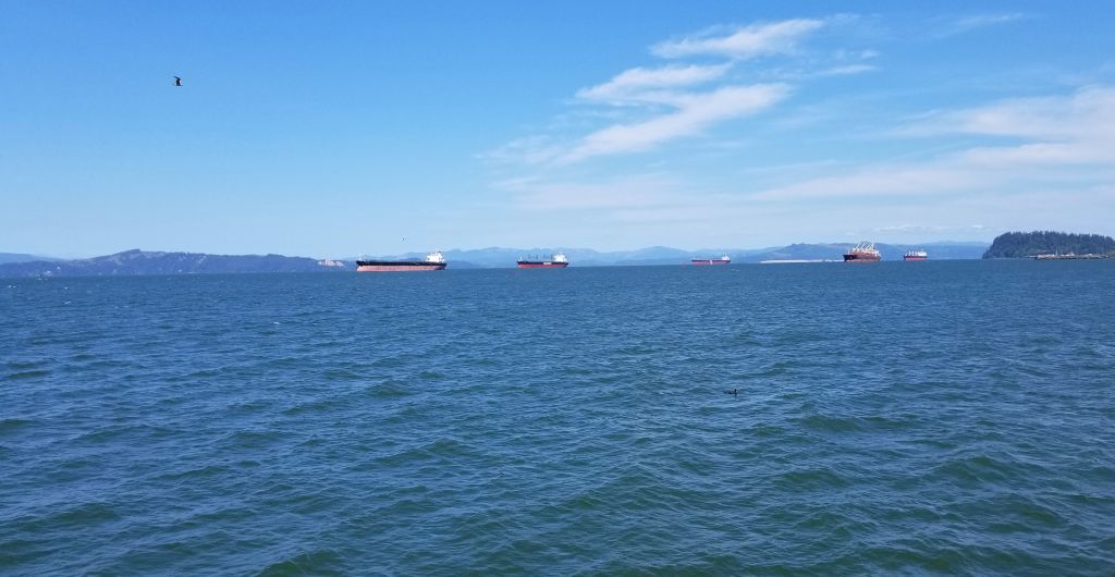
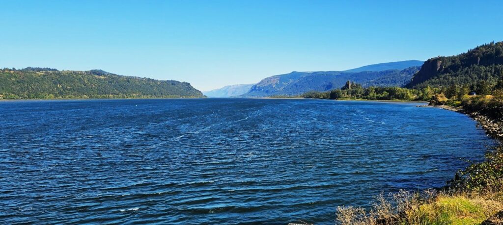
Columbia River
Washington gave us a rainy day farewell, the same as its welcome. We crossed over the Columbia River into Oregon, stopping in the Portland, Oregon area. The Columbia River is very wide at this point and forms the border between Washington and Oregon.
Another item on my bucket list was to see Multnomah Falls. The rain cleared and the day was beautiful. To get there, we had to drive along the Columbia River. We took a wrong turn and discovered another waterfall–Horsetail Falls.
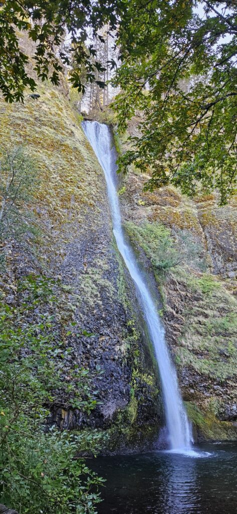
This 224 foot waterfall gets its name from Horsetail Creek and is right off the access road to US Hwy 84. Horsetail Falls is one of many waterfalls along the Columbia River Gorge.
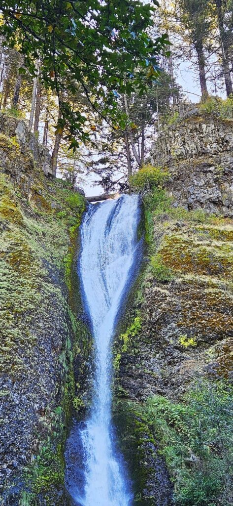
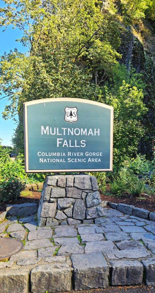
Multnomah Falls, Oregon
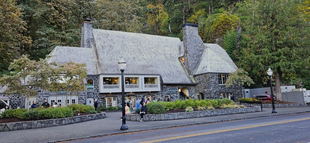
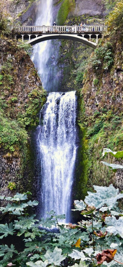
I have wanted to see Multnomah Falls for a long time. The first time we tried, we couldn’t find parking. This time, we waited a short time and were able to find a parking spot. At the bottom of the falls is this historic stone lodge built in 1925.
Multnomah Falls is part of the Columbia River Gorge National Scenic Area under the protection of the U.S. Forest Service.
Multnomah Falls is 620 feet high. It’s the tallest waterfall in Oregon.
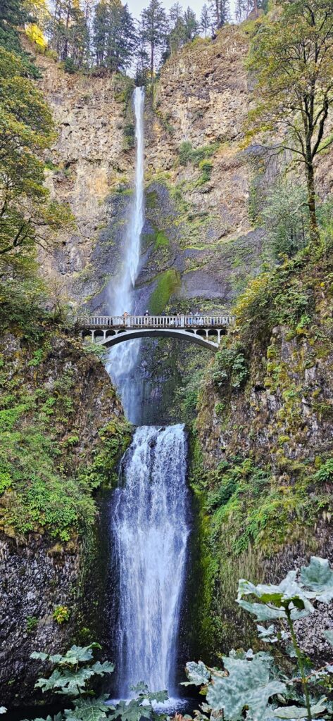
This is a year-round waterfall fed by underground springs.
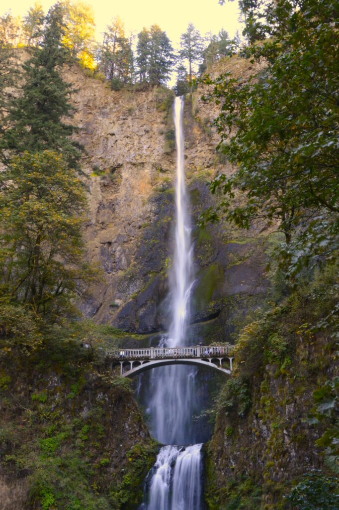
The Multnomah Creek Bridge was built in 1914.
Here’s a short little video of the waterfalls.
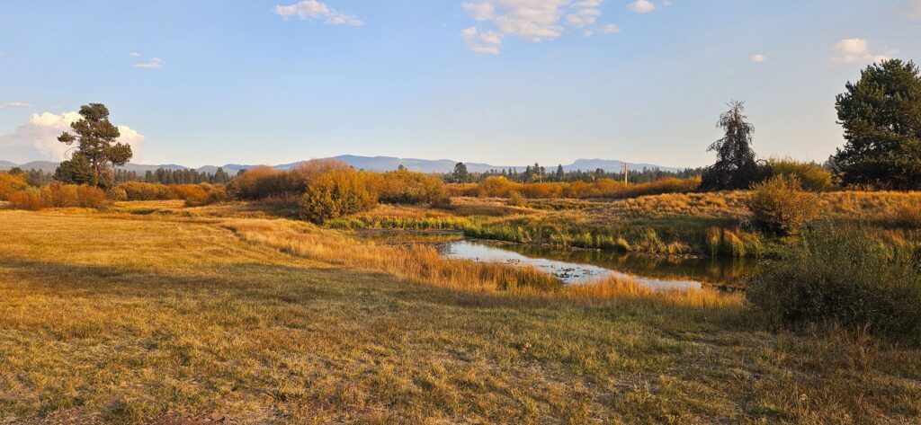
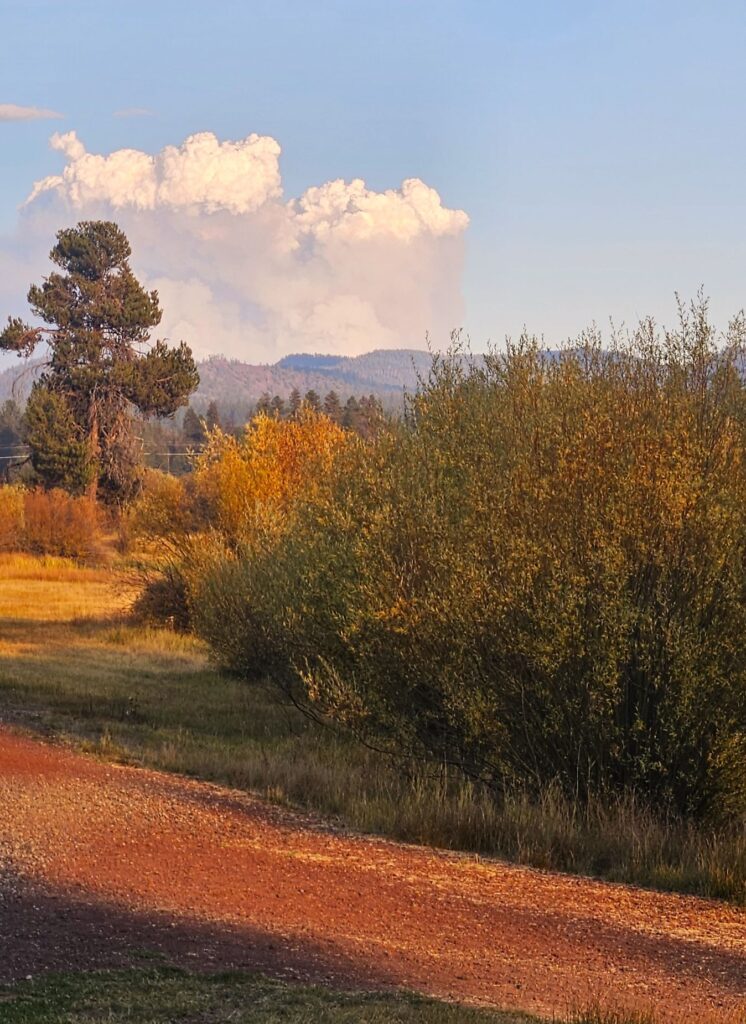
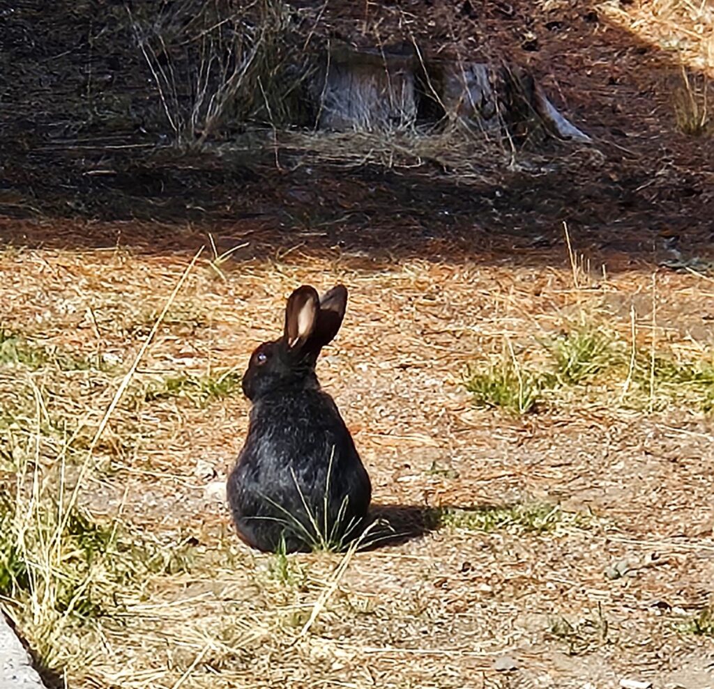
Bend, Oregon
From Portland, Oregon, we headed further south to Bend, Oregon. We began to see autumn colors, and the nights got cooler. Not many people were left in the campground. It was emptying out for the winter.
This area had a wildfire within sight of our campground, so the air was thick with smoke. We didn’t go outside much because of the smoke. Here it is drier and more prone to fires.
Several rabbits hopped around our campsite. This black one was my favorite.
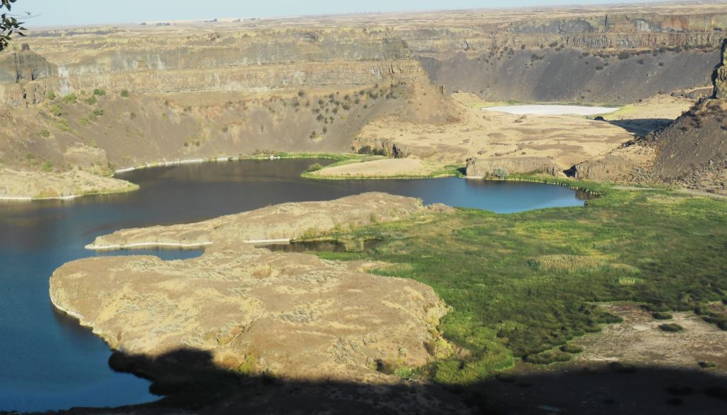
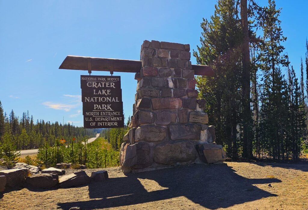
Crater Lake National Park, Oregon
From Bend, Oregon, we took a day trip to Crater Lake National Park. It was about a two-hour drive. This was another item on my bucket list. We had tried to see it years ago, but it was early spring and the roads were closed due to snow.
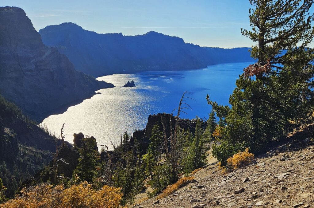
This was my first view of Crater Lake. The deep blue surprised me, even though I knew what to expect. This is the deepest lake in the United States. It is nearly 2,000 feet deep. There are no rivers that flow into or out of the lake and the water is very clear.
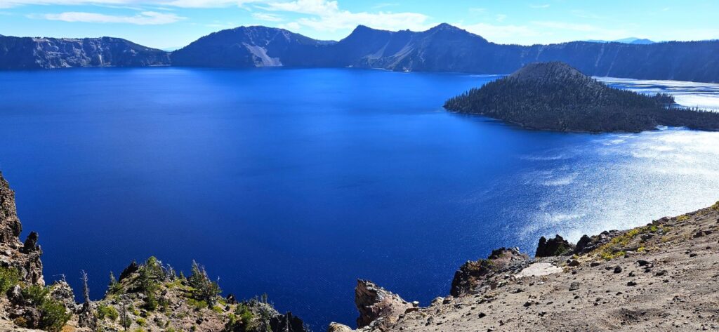
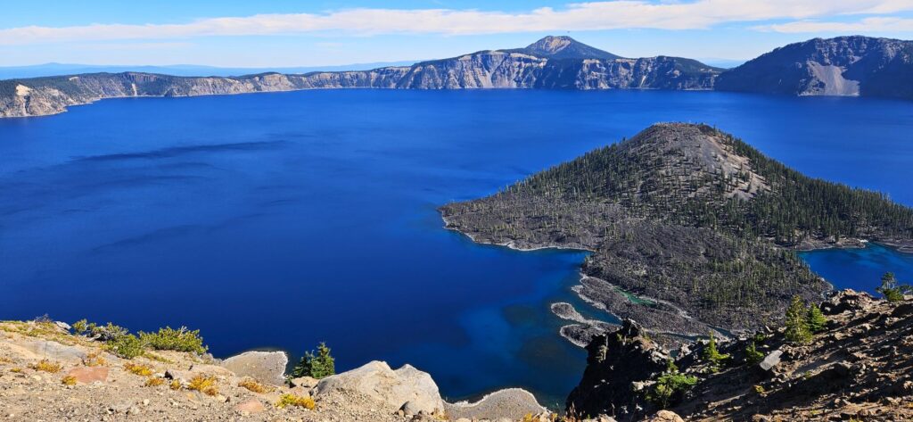
Wizard Island, the island you see here, is a volcano within a volcano. It is believed that Crater Lake was formed from a large volcano that collapsed, forming Crater Lake.
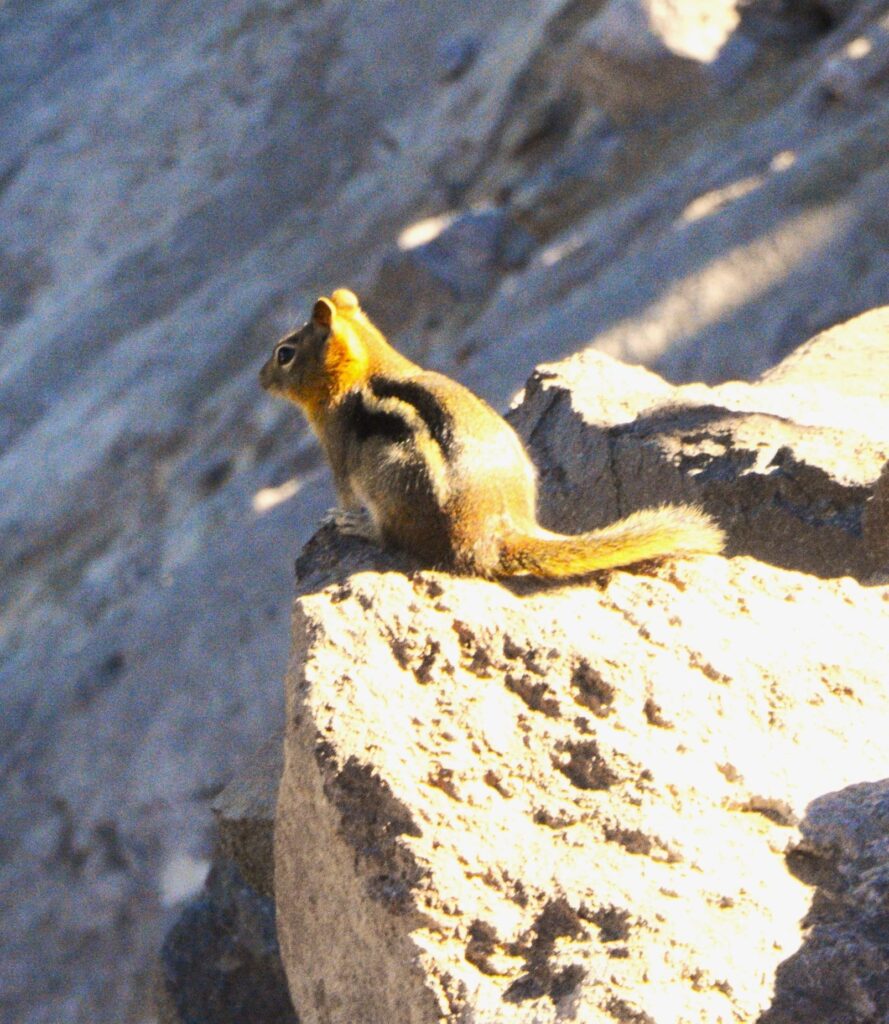
This chipmunk scrambled around the rocks. It is one of 70 species of mammals that live in the park.
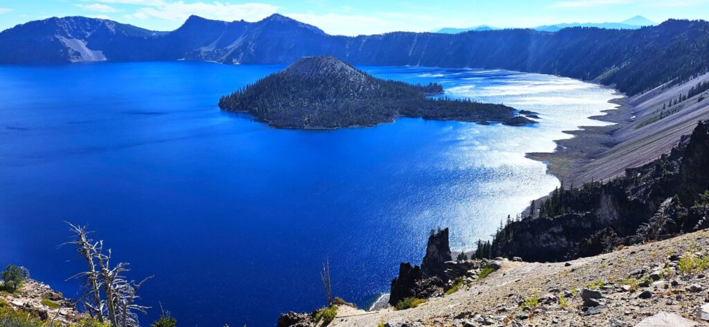
We drove the Rim Drive around the entire lake. It is 33 miles long. We stopped at many different viewpoints on our way.
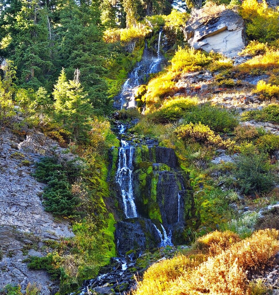
Vidae Falls was one of our stops. It is about 100 feet high and tumbles over rocks in several cascades. It was just a few steps from the roadway, so it was an easy hike.
The tiny island on this side of the lake is called Phantom Ship. Its tall craggy rocks and shape give it the appearance of a ship when silhouetted.
Central Oregon
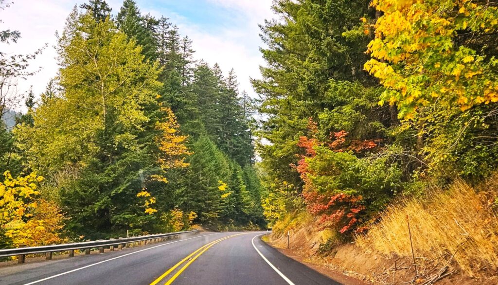
We swung over to the coast after leaving Bend, Oregon, and stayed in Florence, Oregon. We drove a few miles inland to see some fall color in the trees on Hwy 126 going toward Eugene.
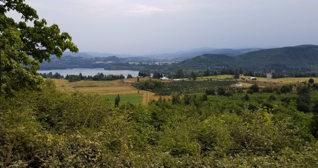
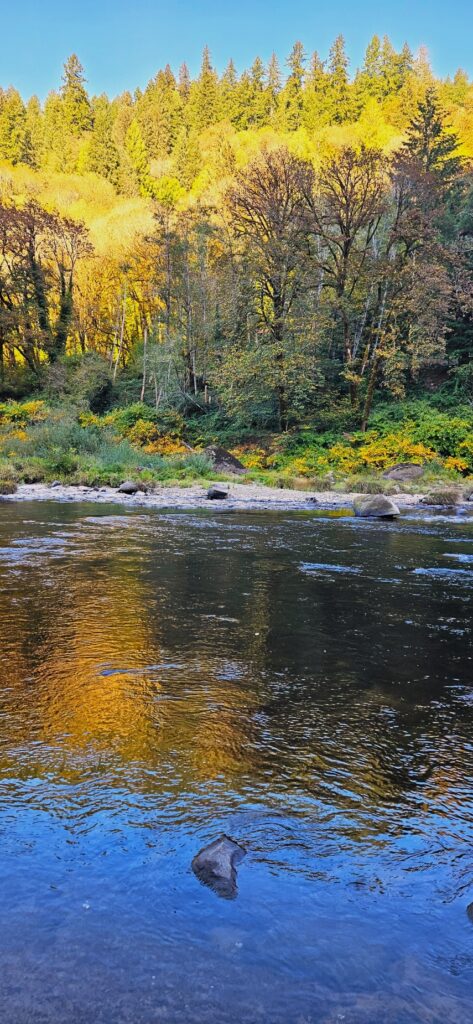
We took a side road at the town of Mapleton, a cute town situated along the Siuslaw (See-you-slaw) River.
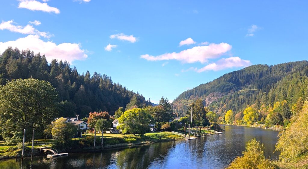
Along the river, the yellow alders, cottonwoods and maple trees created a beautiful scene reflecting on the water.
Pacifica, California
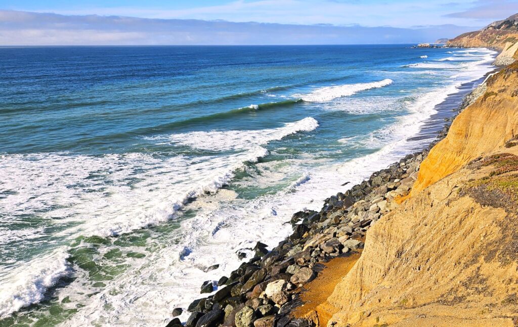
After a few more stops while on our way south, we reached Pacifica, California, near San Francisco. Our campground was right on the ocean. The waves are something I never tire of seeing.
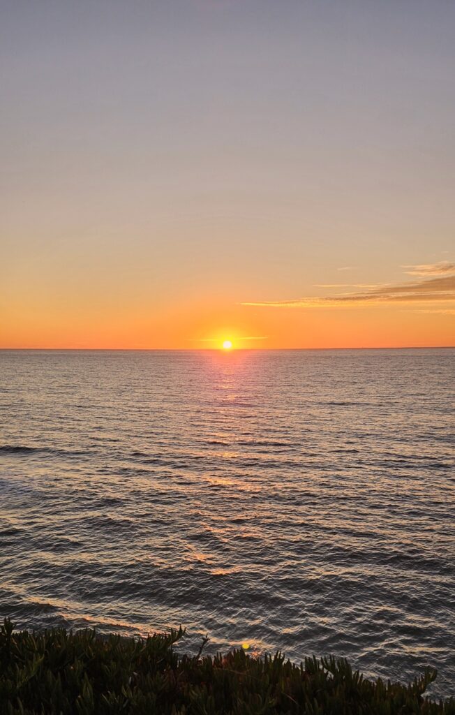
I also loved watching the sunset. A lot of the campers would come out in the evening to watch the sun setting over the ocean. It’s a nice ending to the day.
The Pacific Northwest has so much beauty. During our six months of travel during the late spring, summer and early fall, we visited five national parks, one national monument, eight waterfalls, three lighthouses, several museums and one new country. It has been one of my favorite places to visit.
“Bless the Lord, O my soul!
O Lord my God, you are very great!
You are clothed with splendor and majesty,
covering yourself with light as with a garment,
stretching out the heavens like a tent.” Psalm 104:1-2 ESV