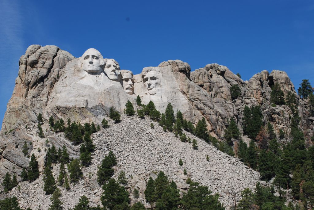
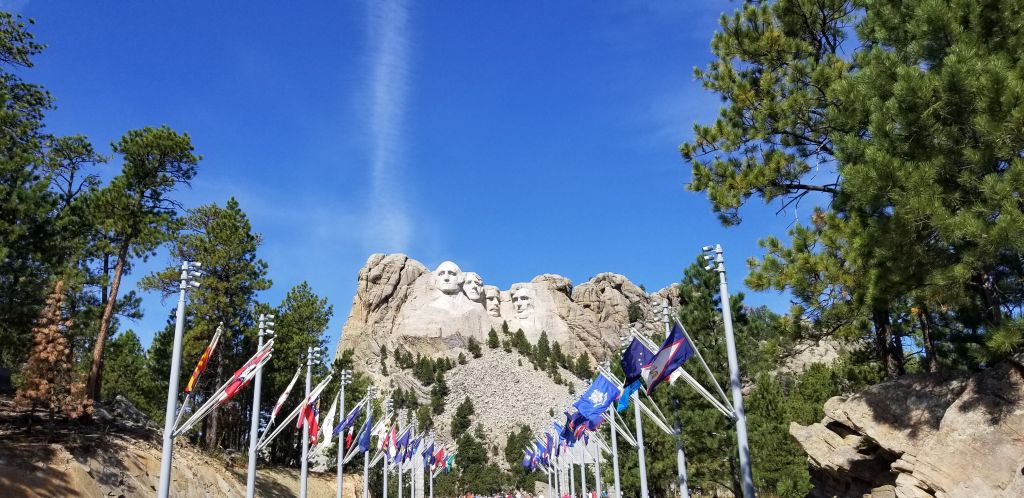
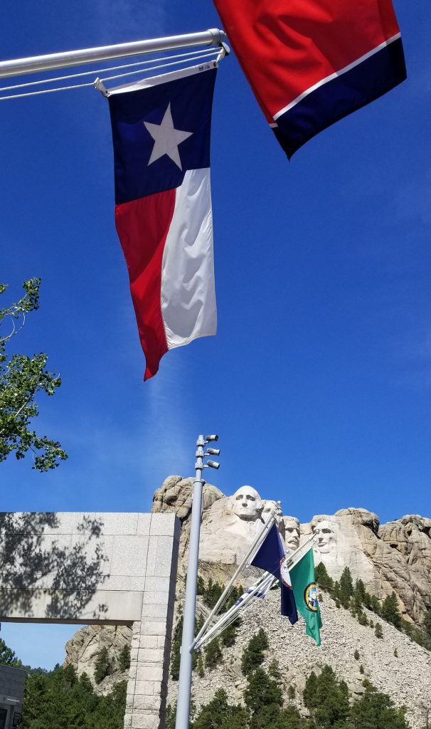
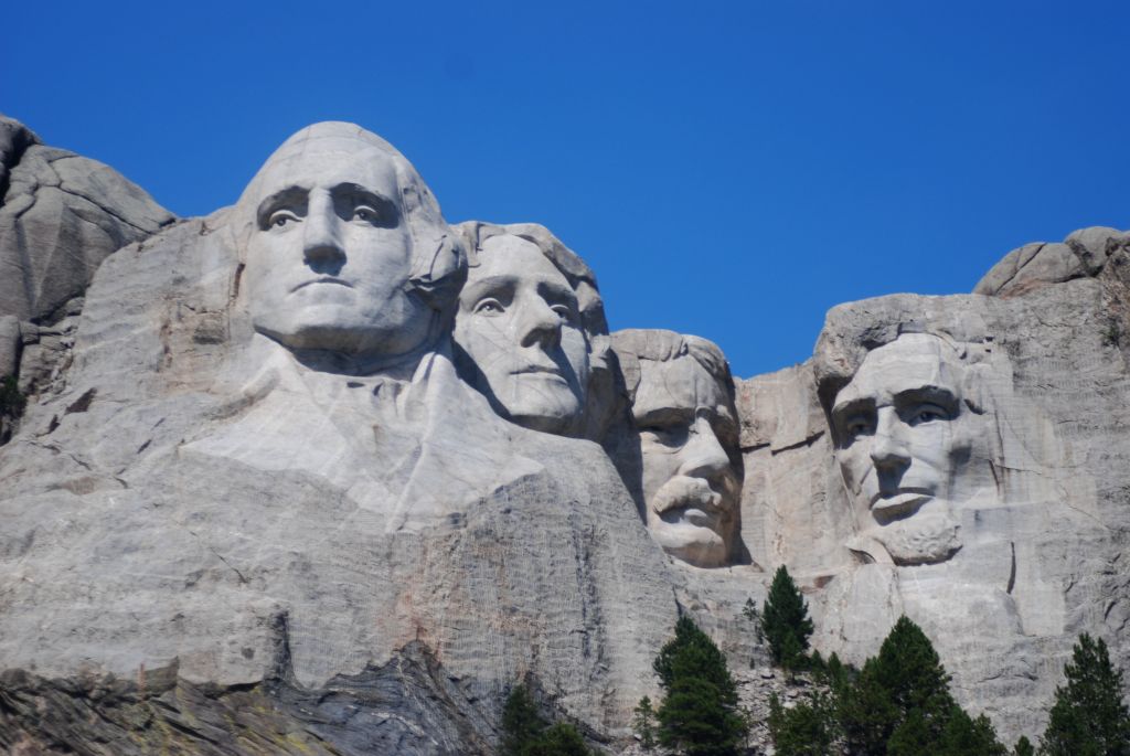
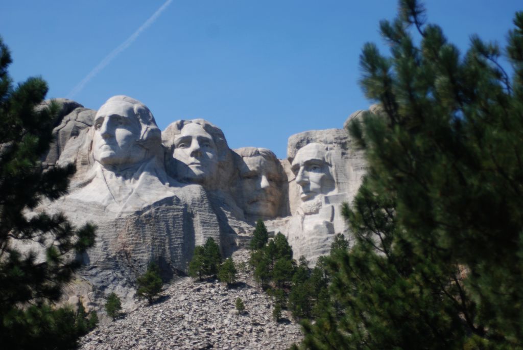
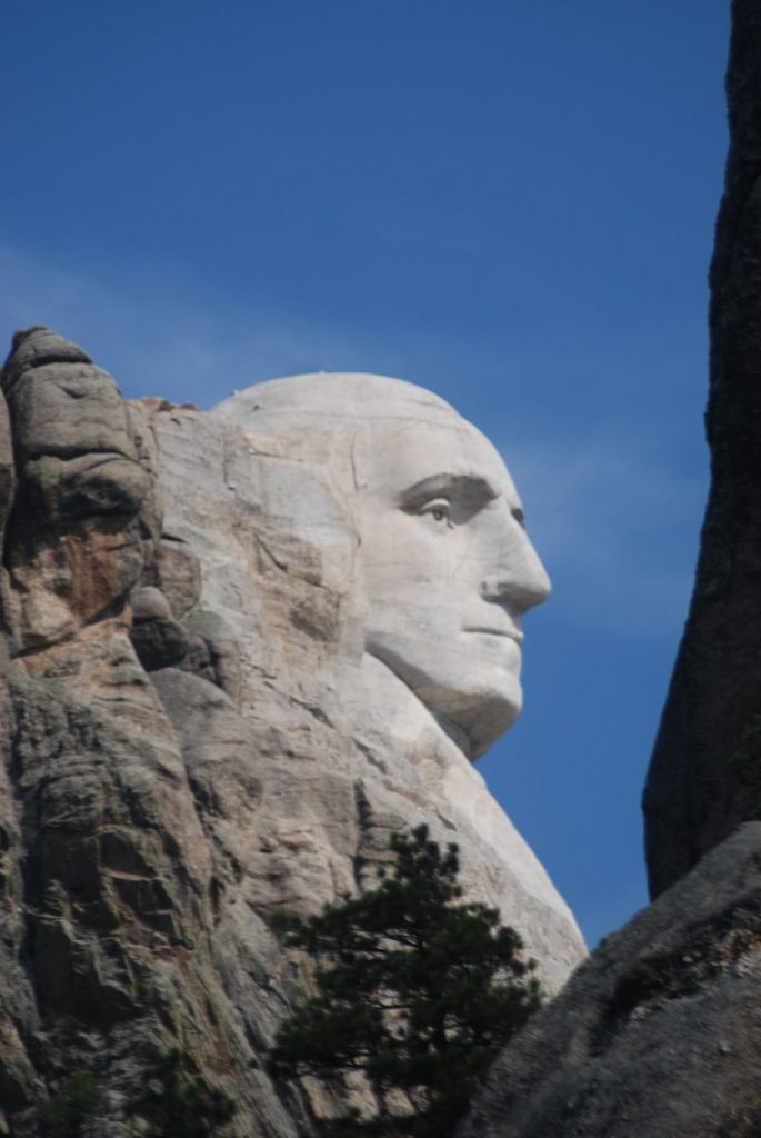
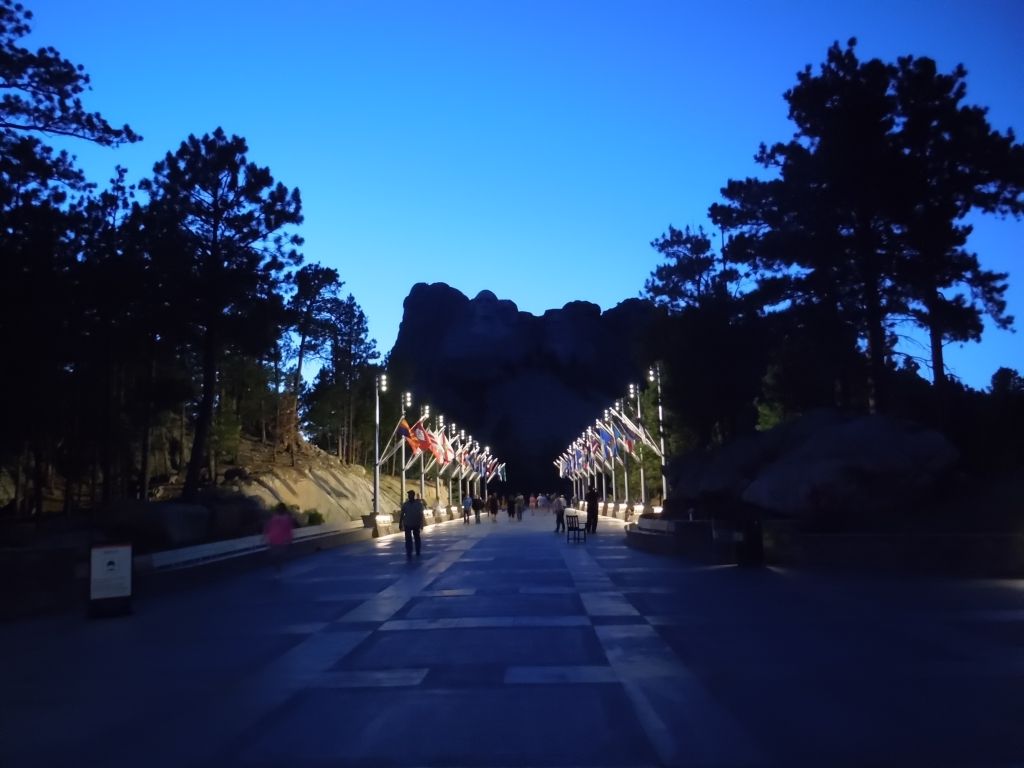
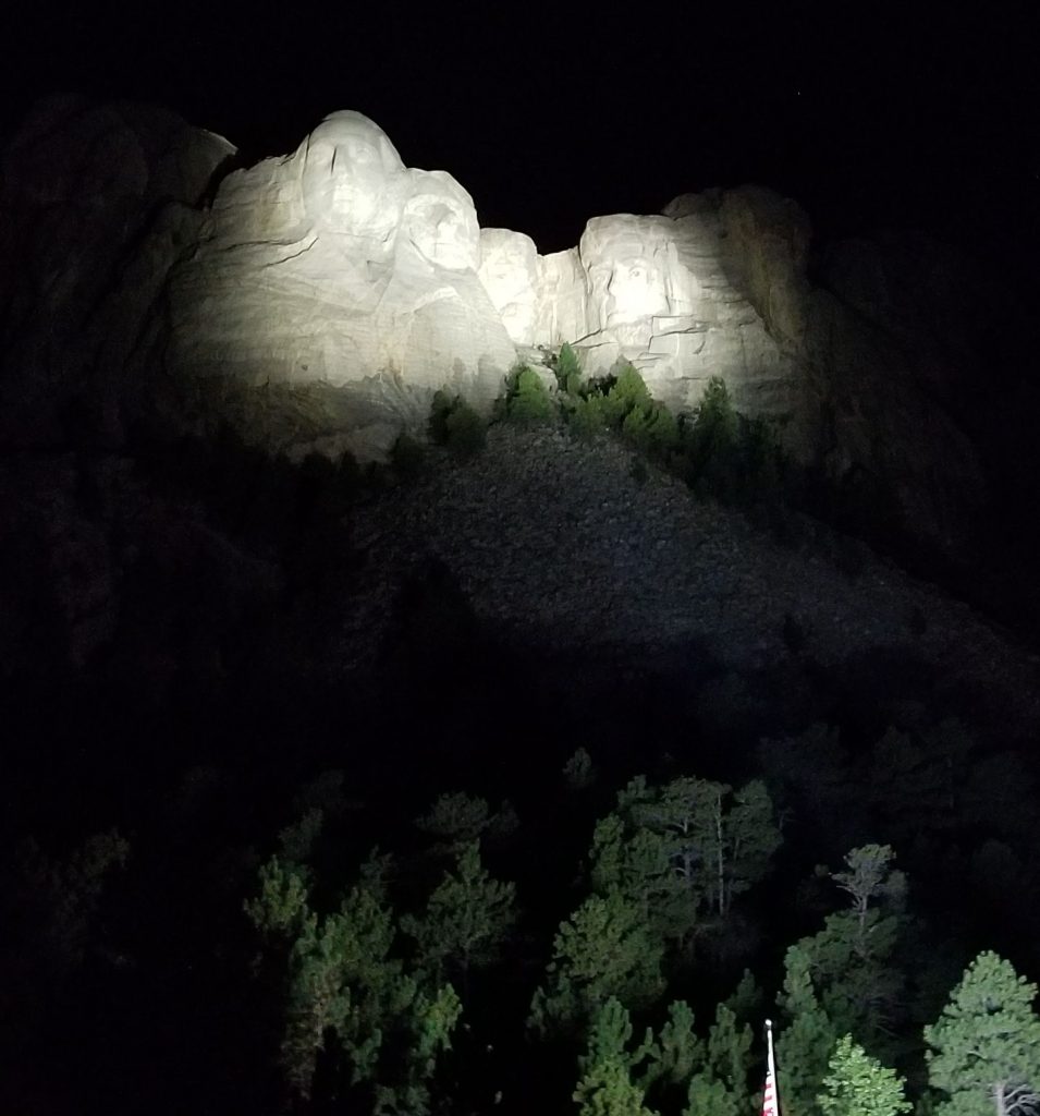
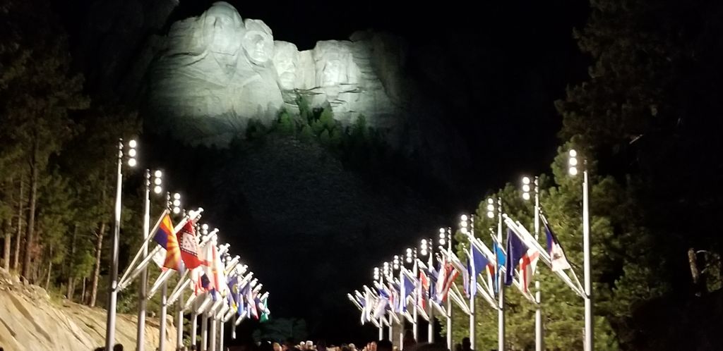
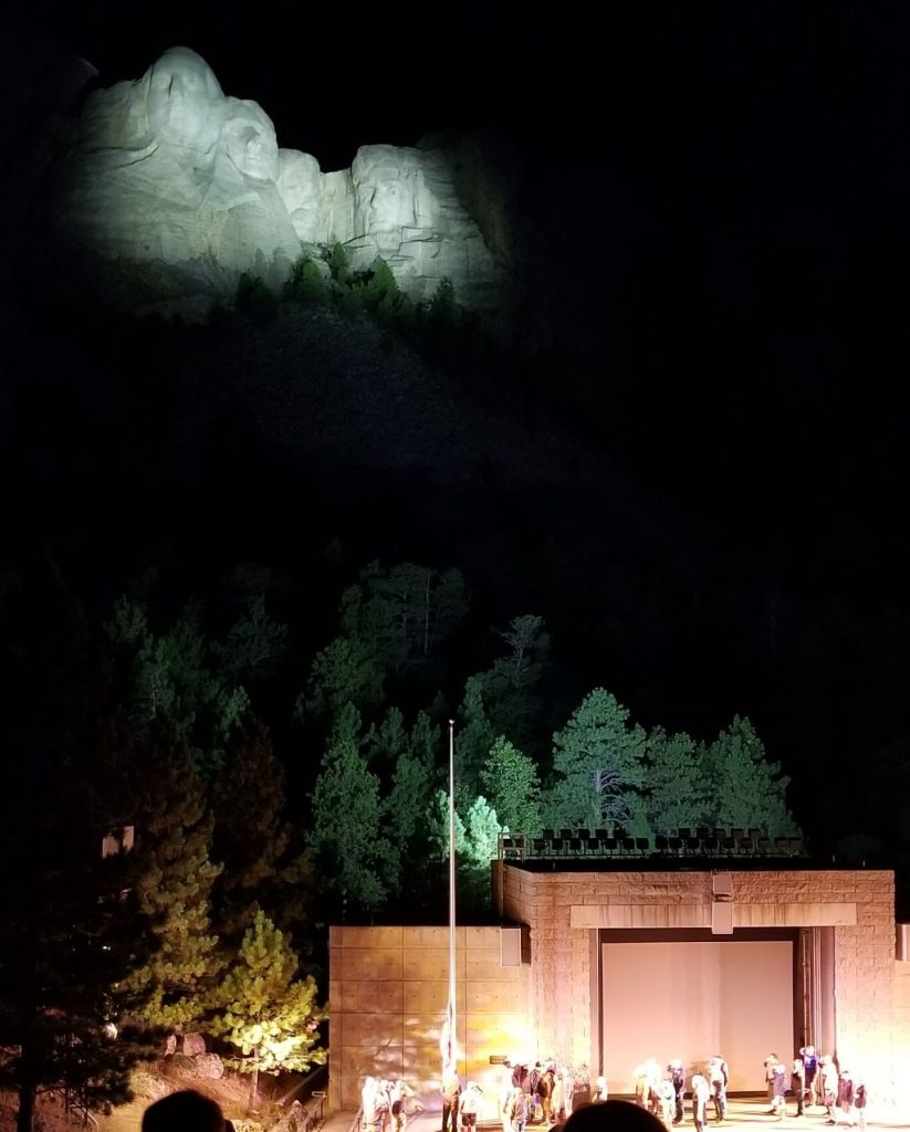
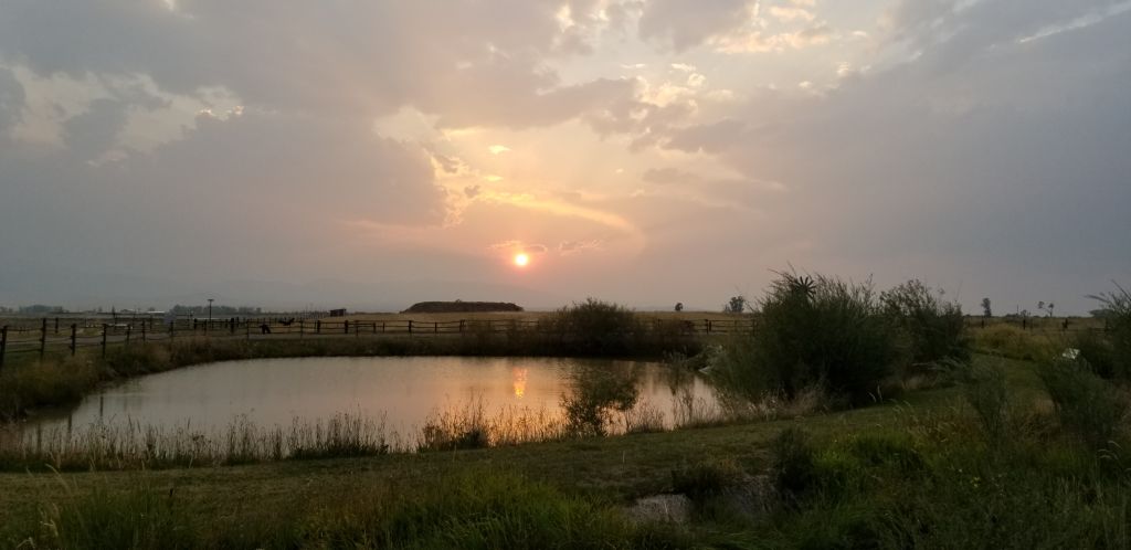
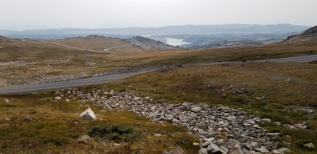
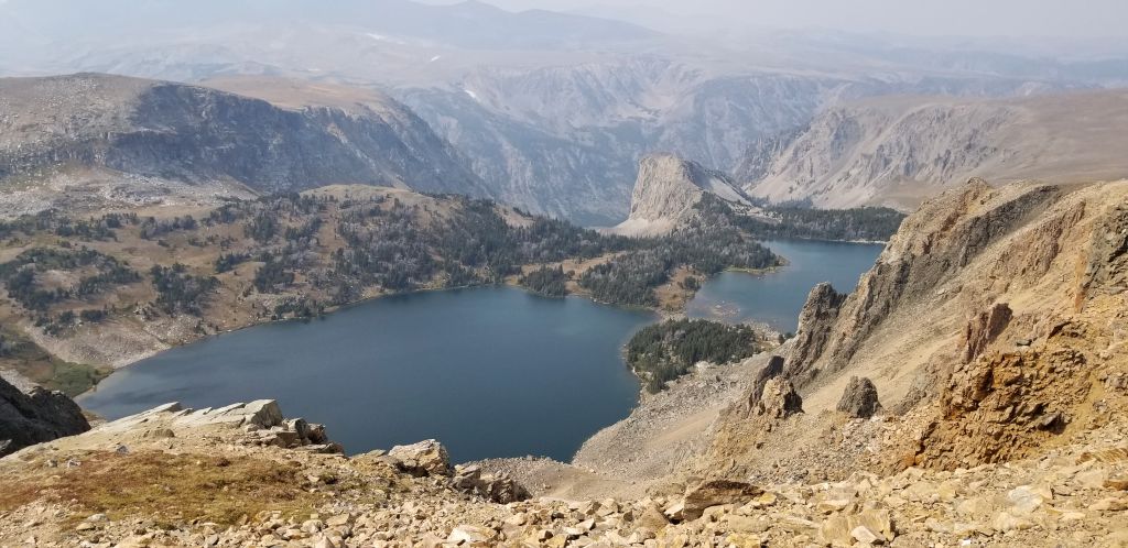
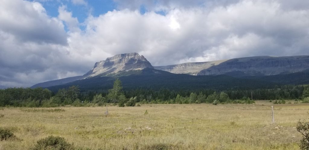
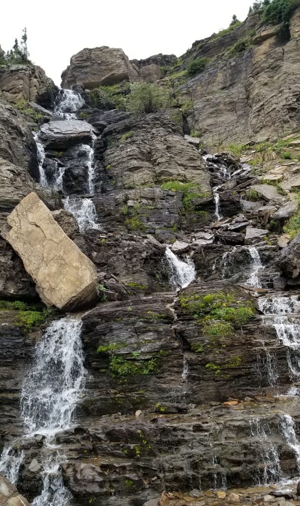
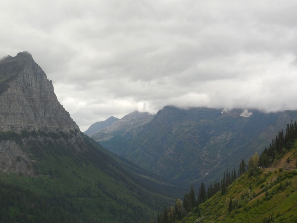
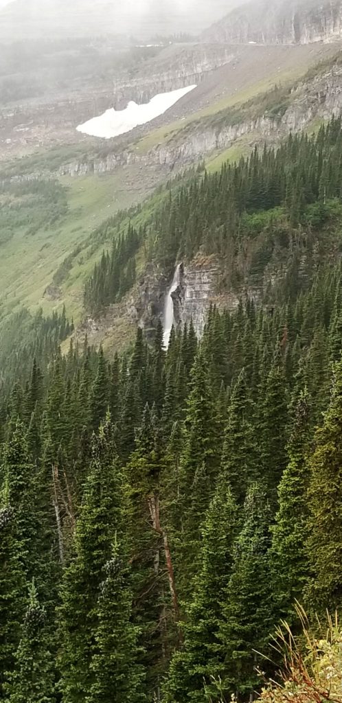
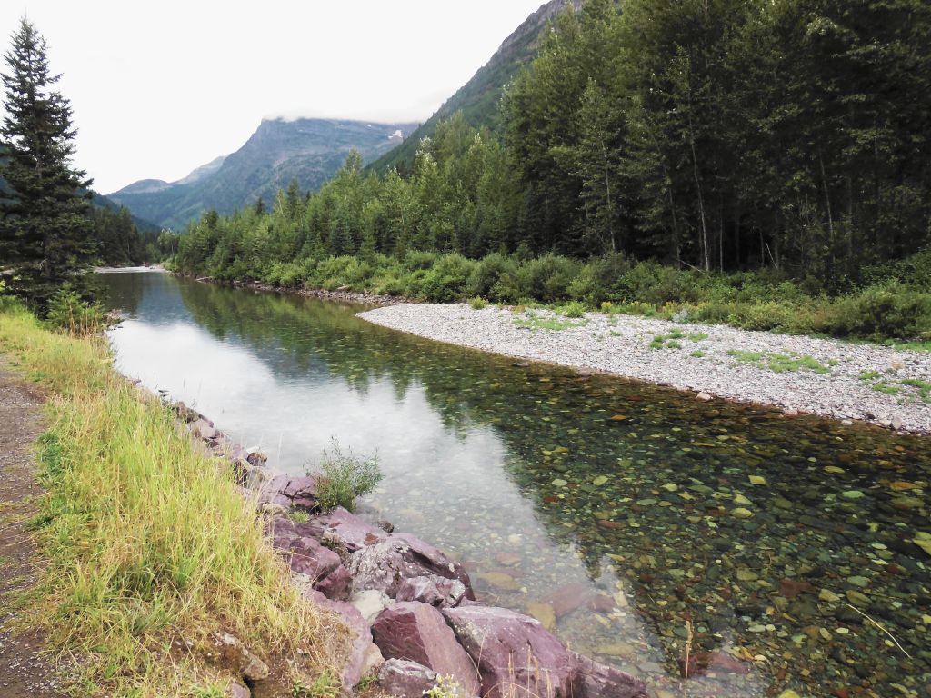
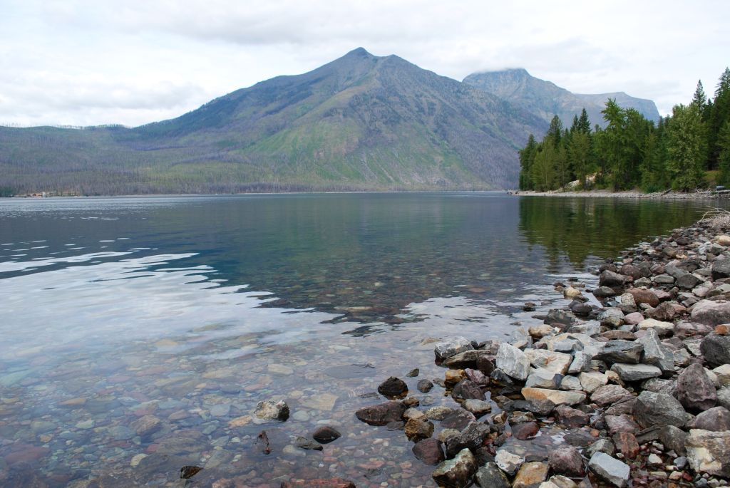
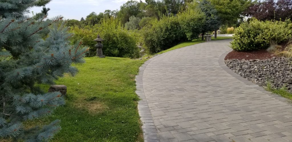
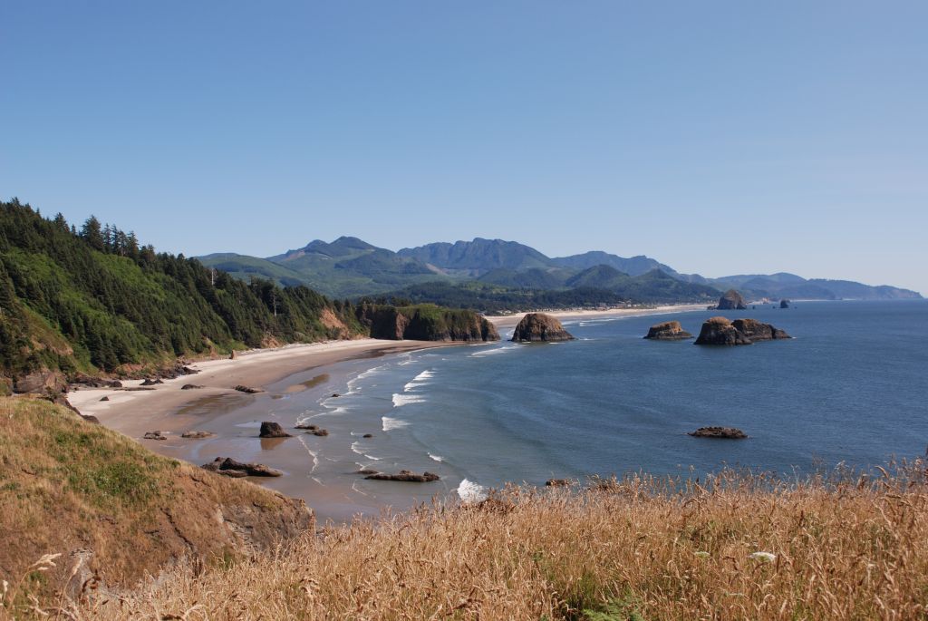
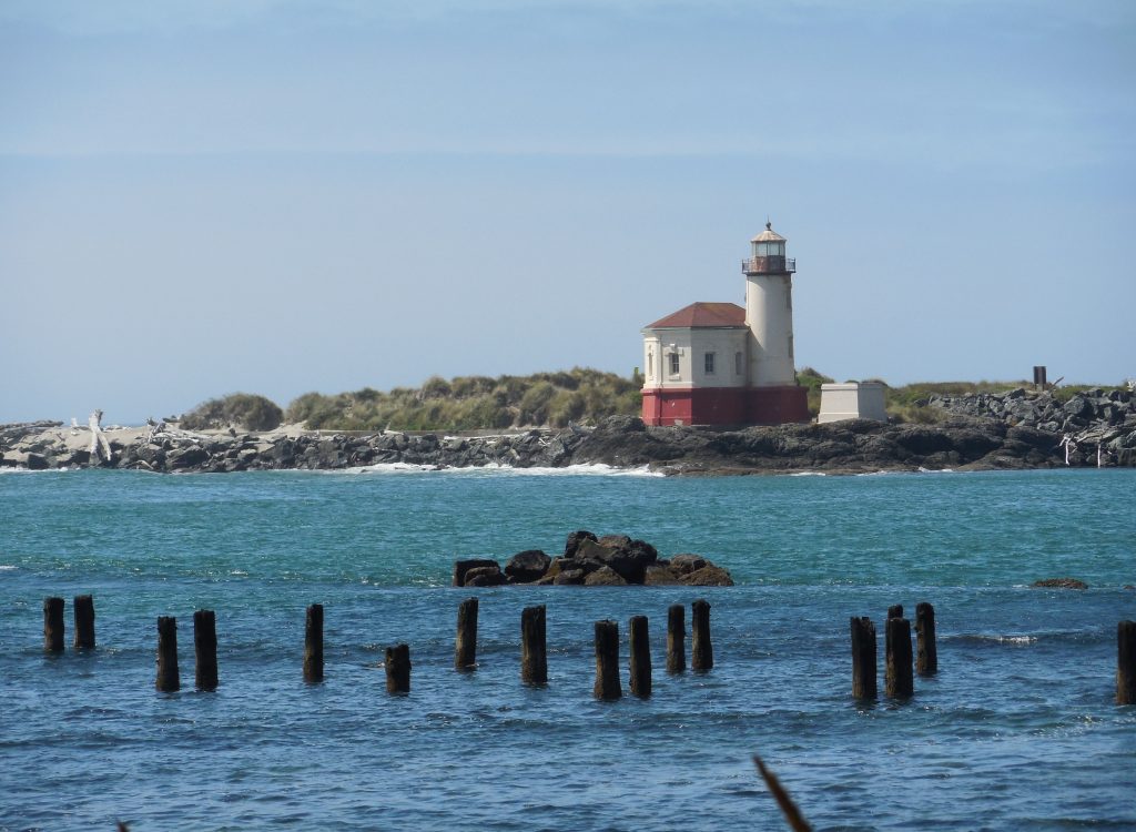
Whenever I think of South Dakota, I think of a flat wide expanse of endless prairie, a picture I got in my mind from reading the Little House books. But when we arrived in South Dakota we found beautiful forested mountains with pretty green meadows spaced in between the hills. Western South Dakota in the Black Hills region is a region of surprising beauty. Tucked away in these hills is the iconic Mount Rushmore. (See my blog on Mount Rushmore)
In the Black Hills region are other interesting places to explore. One of the places I wanted to see was the Crazy Horse Memorial. This is a privately-owned memorial to Crazy Horse, a leader of the Lakota Sioux Indians. The sculptor, Korczak Ziolkowski, who dedicated his life to carving this memorial, is now deceased and his descendants have taken on the project.
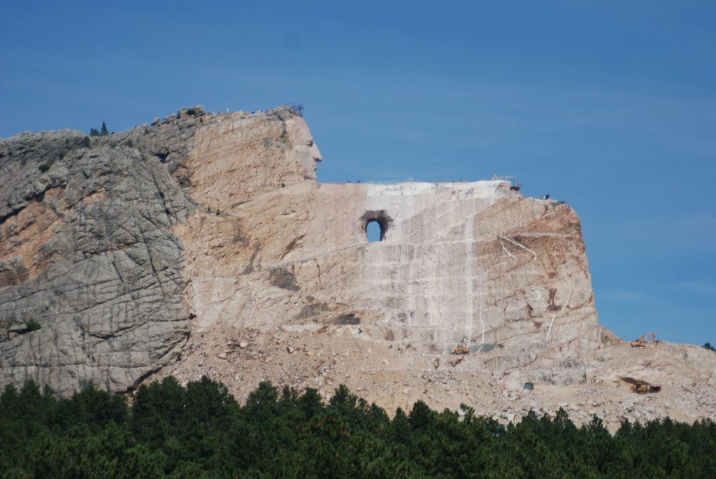
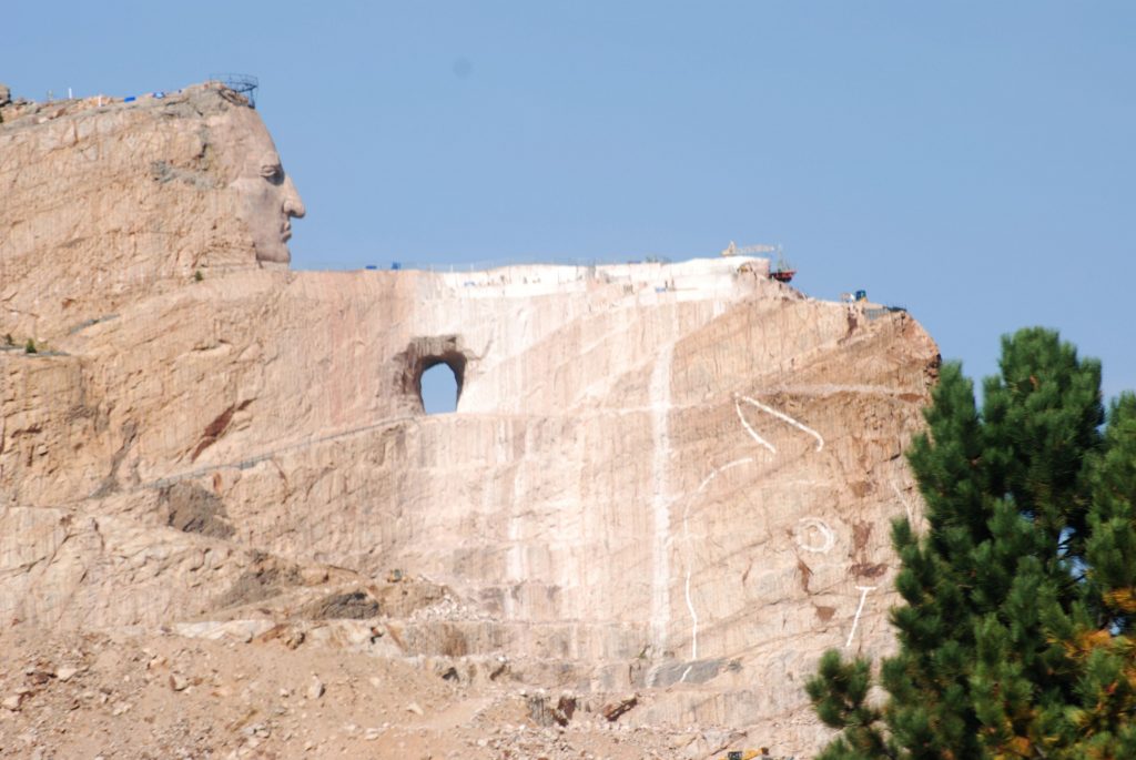
I had mixed feelings about Crazy Horse Monument. For one thing, after 71 years, it is far from being completed. In contrast, Mount Rushmore was finished in only 14 years. Some reasons for the delay are said to be the weather, tourists, the size of the project and lack of funds. Critics say it has become a money making project for enriching the sculptor’s family. I can’t say for sure that is true, but I was disappointed. It does seem like the 40,000 square foot Visitor’s Center has taken over the central focus instead of the rock carving.
Below is a prototype carving of what the mountain will look like when finished. It’s sad to think I might never see it completed in my lifetime.
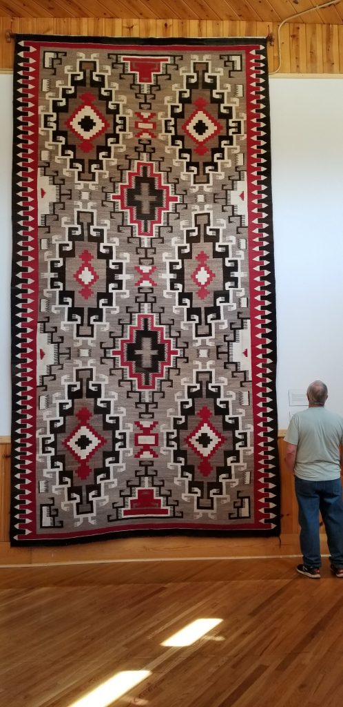
We wandered around the huge visitor center for nearly an hour. It seemed like we were rushing through it just to be able to see it all. The buildings also house The Indian Museum of North America which houses a large collection of art and artifacts showing the histories and cultures of over 300 native nations. One impressive exhibit was this Navajo Indian rug.
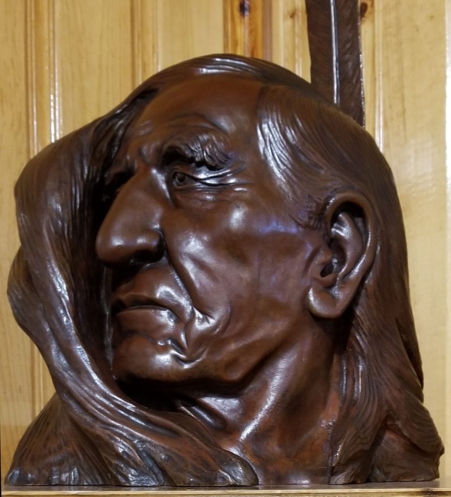
Other items in the museum showcase the artist’s talent such as this carving of Henry Standing Bear, a cousin of Crazy Horse. He was the one who found the artist Korczak Ziolkowski for the Crazy Horse project.
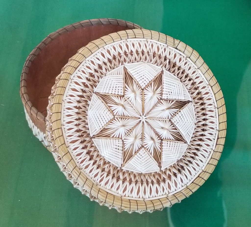
Many Indian handcrafted items were on display. This beautifully crafted pine quill basket caught my attention.
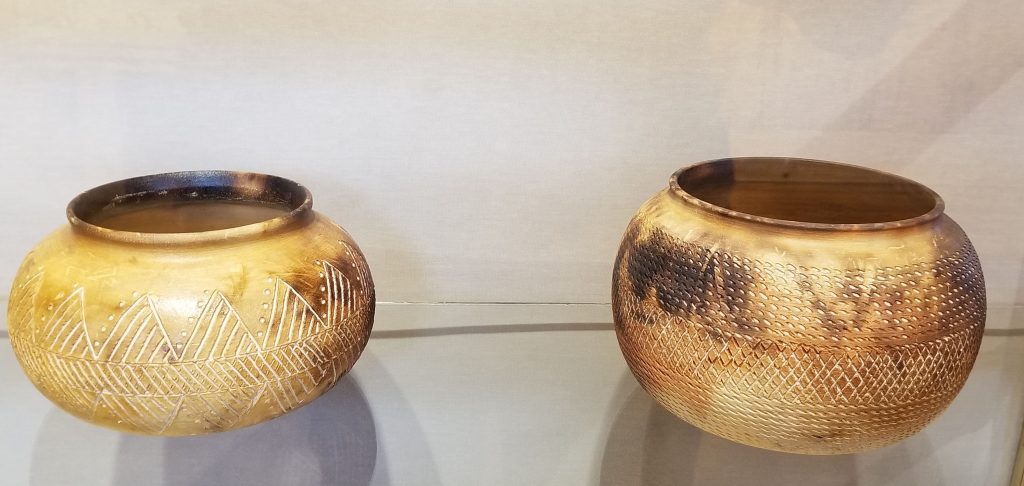
Having taken a pottery class, I’m always fascinated by handmade pottery. These look like they were from a wood-fired kiln or pit.
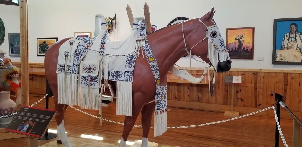
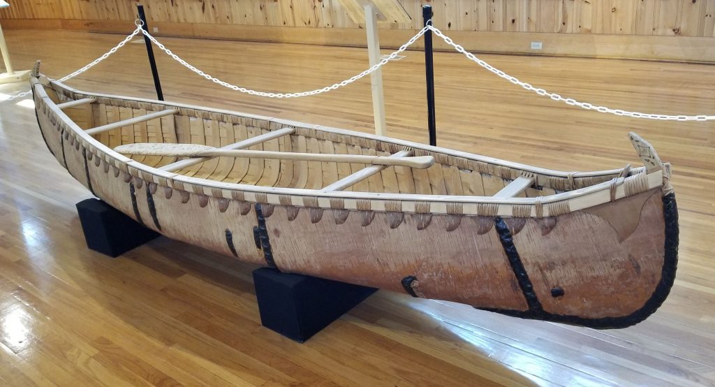
Other exhibits were this highly decorated horse outfit and the hand-crafted canoe pictured below.
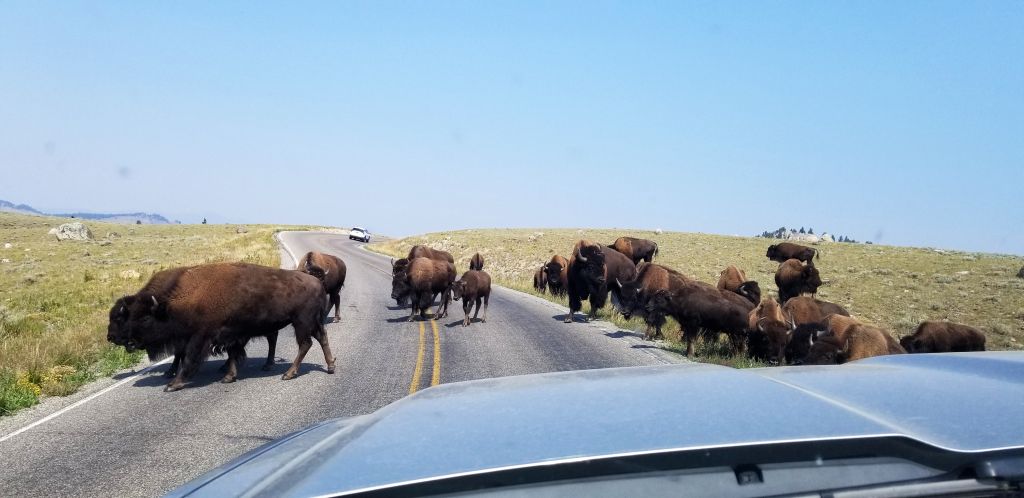
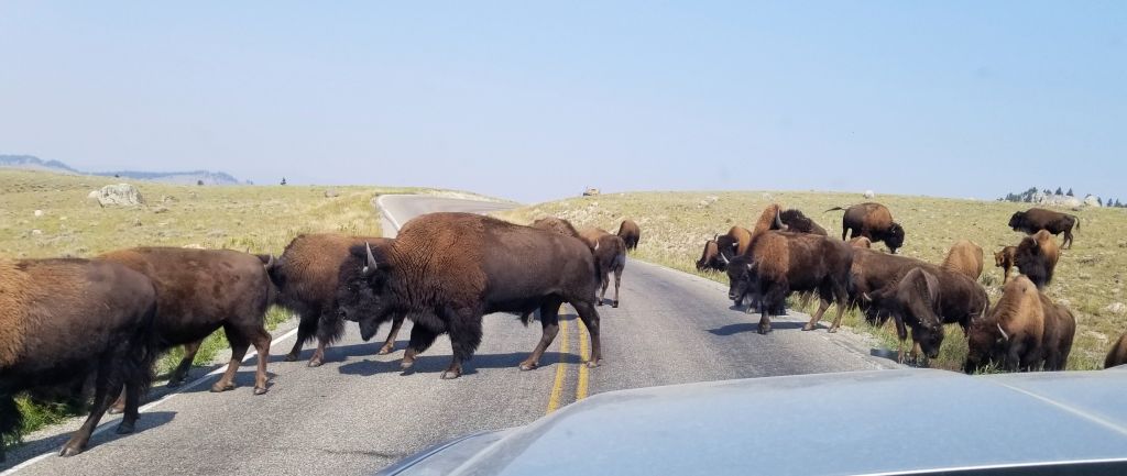
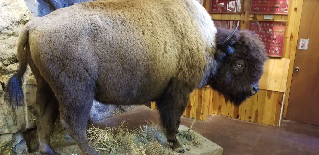
It was irresistible to get a photo of a buffalo up close like this. It was easy to see why the Indians liked the buffalo hides for keeping them warm in the cold winters.
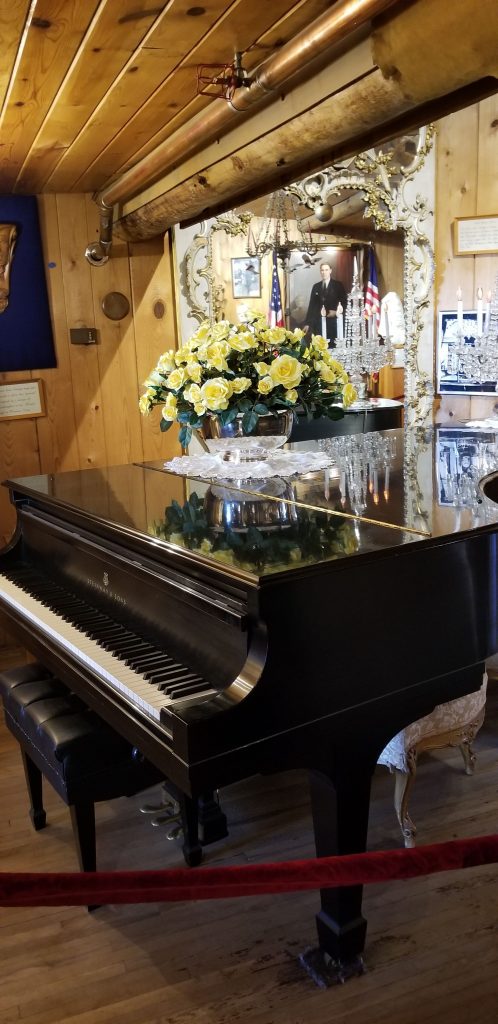
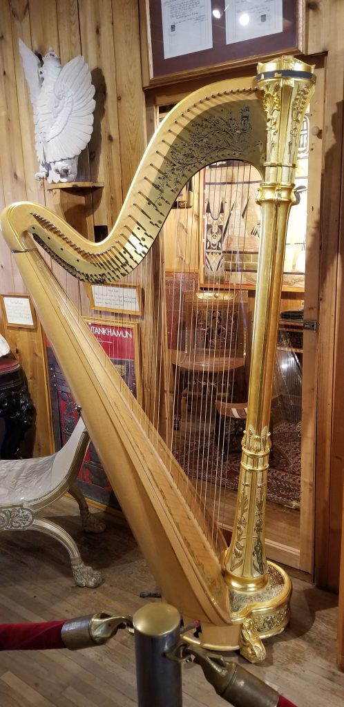
The artist Korczak Ziolkowski, and his wife had 10 children. They must have been a musical family as there were many musical instruments from their home on display in the museum.
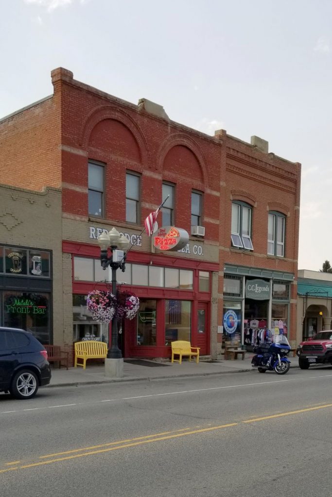
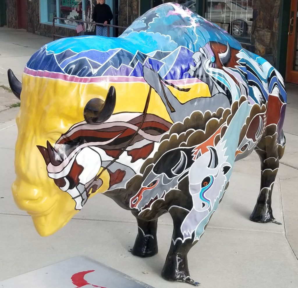
We stopped to eat dinner in the nearby town of Custer where a painted buffalo caught my eye. Since it was late in the year, many places were already closed for the winter. We found a Pizza Hut and I ordered chicken wings. They were really good!
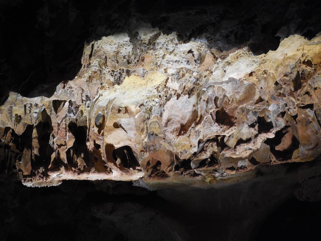
Another day we drove to Wind Cave National Park and took a tour into the cave. The cave is so named because as the air pressure changes on the outside, the air blows in or out of the cave to maintain equal pressure. Two brothers discovered the cave when they heard wind blowing out of a hole in the ground. When one leaned in to get a better look, his hat blew off his head.
Wind Cave is the second longest and most complex cave in the world. Only a small part has been explored. It is home to “boxwork”, a unique formation found only in this cave.
One of the stories our guide told us about was in the early history of the cave tours, there was a guide that led tourists down into the cave with a lantern. If he saw a passage that he wanted to explore, he would leave his guests in the dark and go exploring, sometimes leaving them there in the dark for hours before returning. I can’t imagine being left in pitch dark for hours not knowing for sure if the guide would ever return!
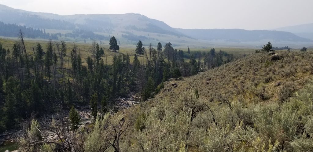
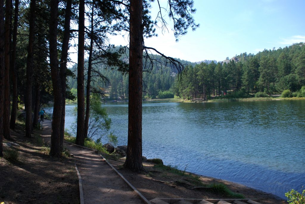
Above ground we saw prairie dogs, bison and park-like prairie grasslands and hillsides with forests. I pondered if this would be a nice place to live someday–but then I thought about the cold winters. Hm. Probably not.