Natural Bridges National Monument

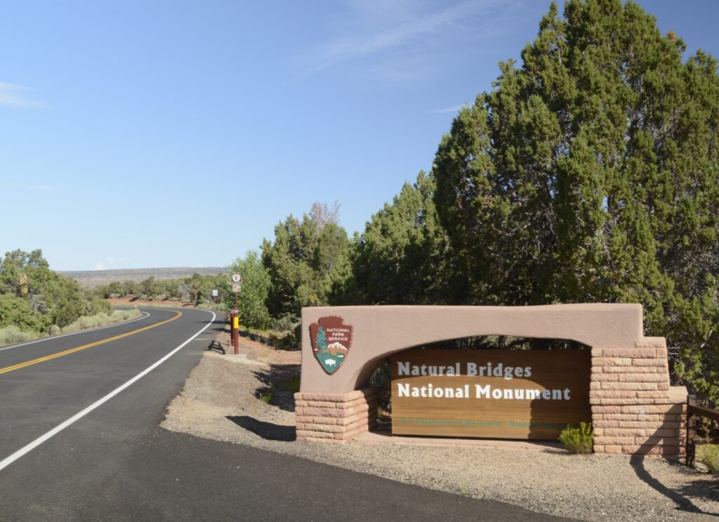
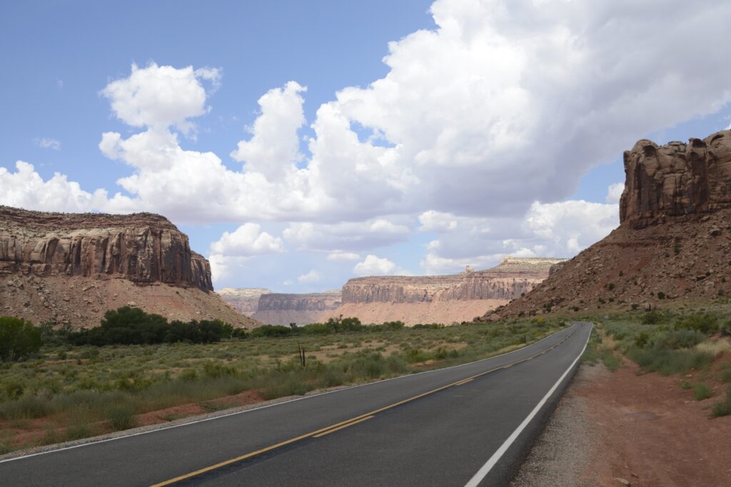
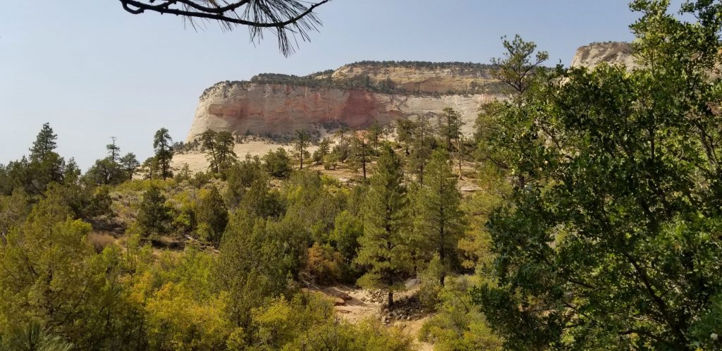
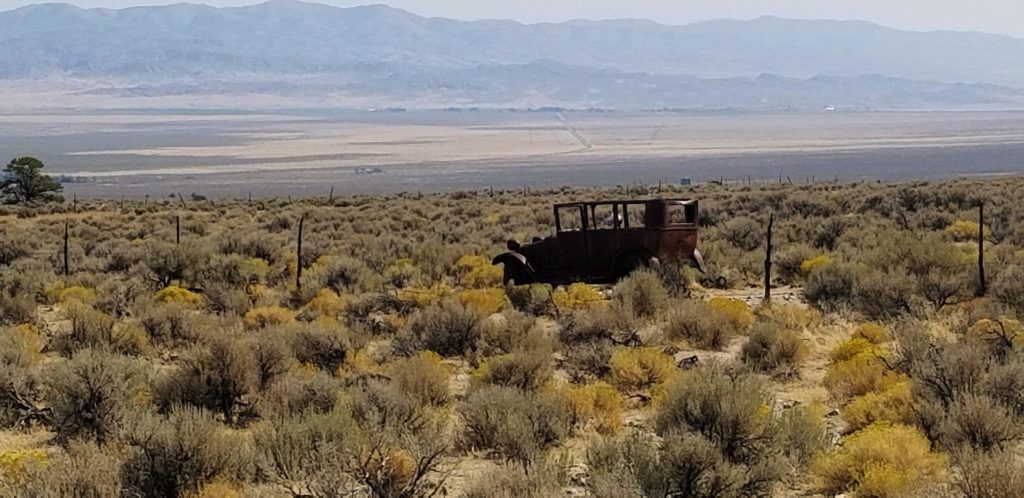
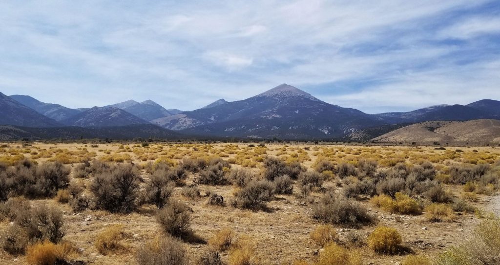
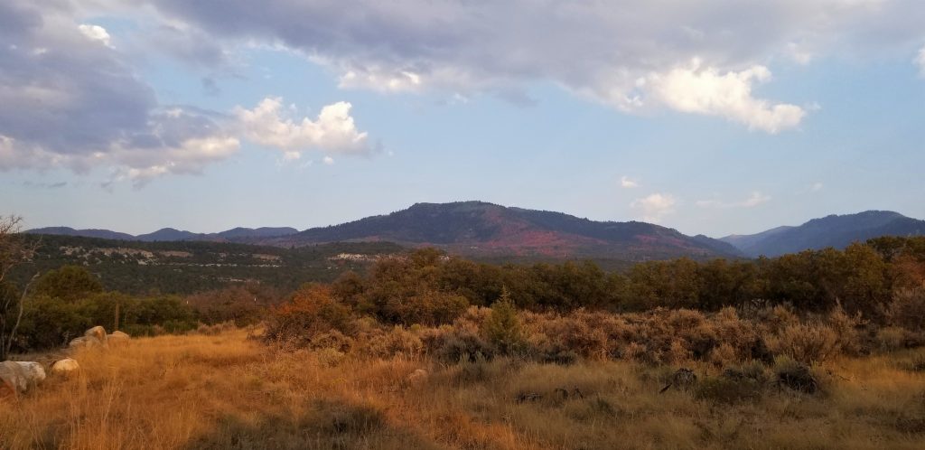
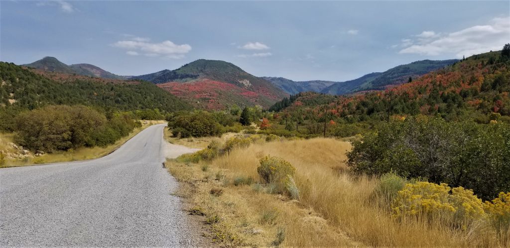
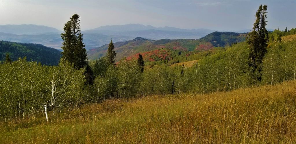
Utah’s first national monument, Natural Bridges, is off the beaten path. It was over an hour drive from Monticello, Utah, where we were staying. After turning on state highway 94 at Blanding, Utah, which is about the halfway point, there are no towns or services from then on. But the scenery is worth the drive.

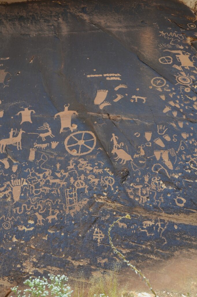
There are three natural bridges within the park boundaries: Sipapu, Kachina, and Owachomo which are Hopi Indian words meaning “place of emergence,” rock art that resembles kachina dolls, and “rock mound.” They were discovered by a prospector in 1883, and later it was designated a national monument.

Sipapu Natural Bridge

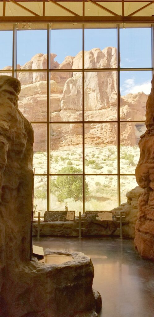
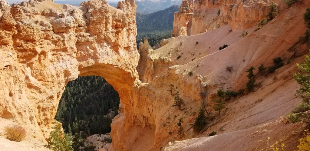
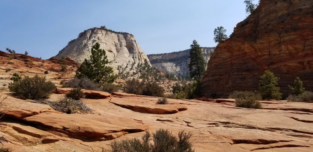
We started our visit at the visitors’ center where we learned the difference between a natural bridge, an arch and a window. A natural bridge is formed by flowing water. As streams wind back and forth in a canyon, the thin walls are worn through by the water pounding against them.

Sipapu Natural Bridge

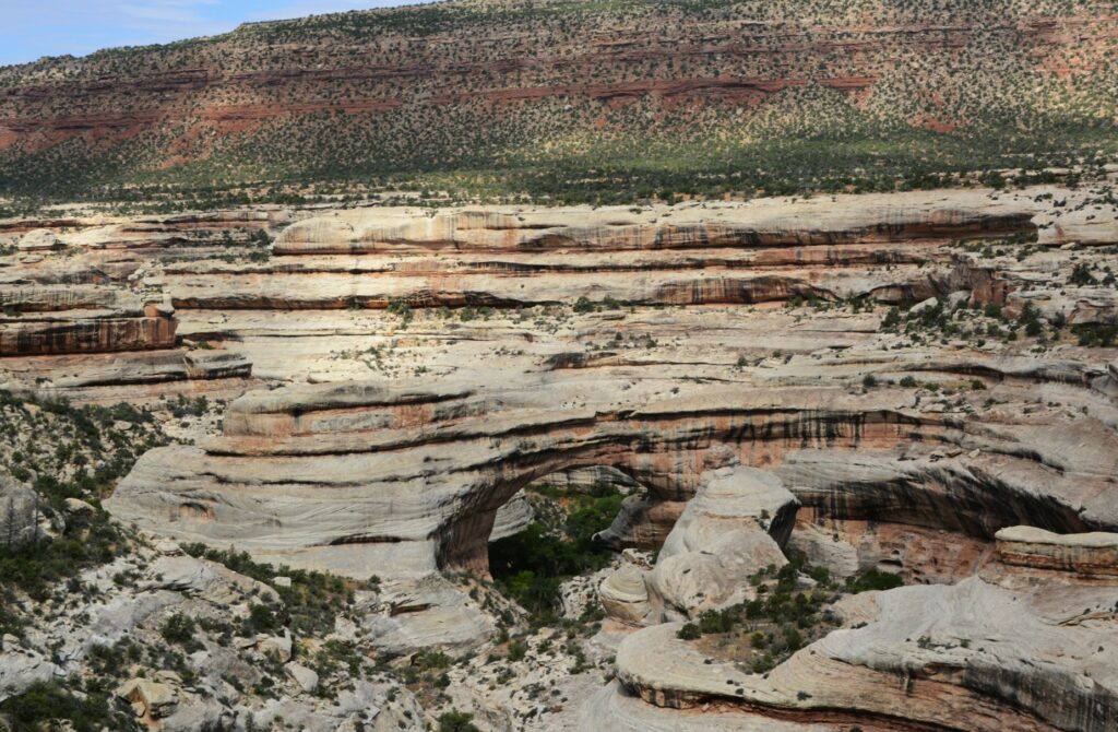
Sipapu (see-pa-pu) bridge was the first stop on the nine-mile Bridge View Drive through the park. It’s the largest of the three bridges. Its meaning has to do with an entryway by which the Hopi believe their ancestors came into this world. To give you an idea of its size, the dome of the United States Capitol would nearly fit underneath it. It is the second largest natural bridge in the U.S.

View of canyon

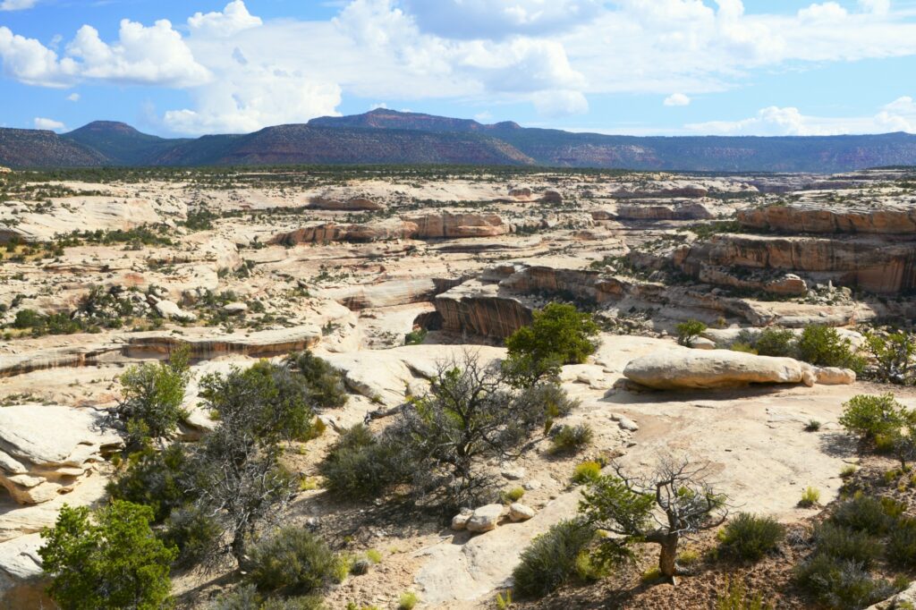
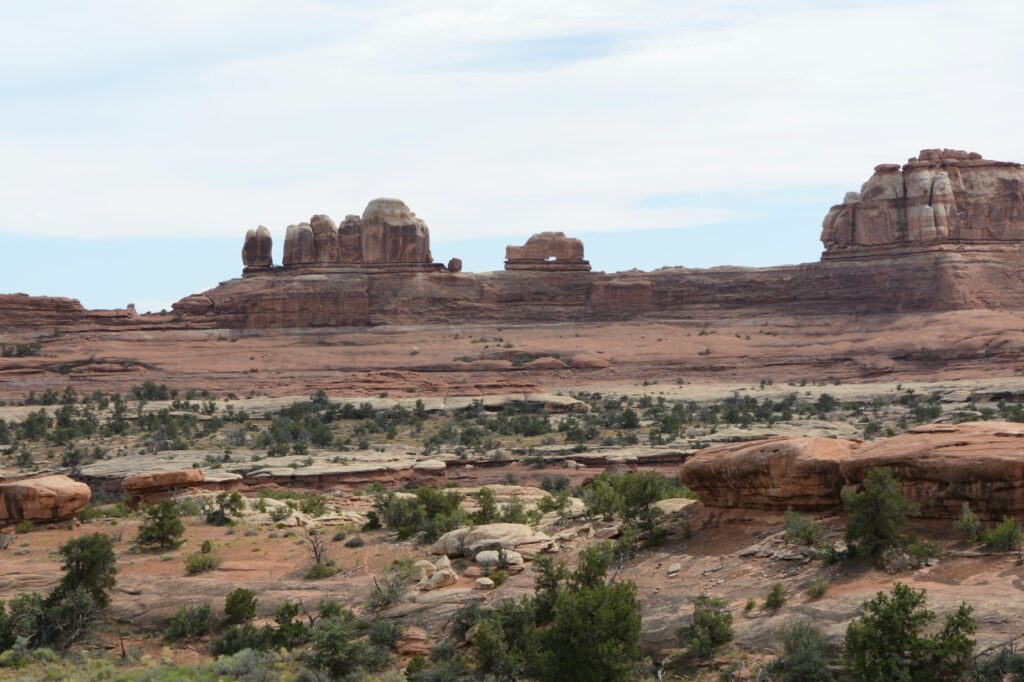
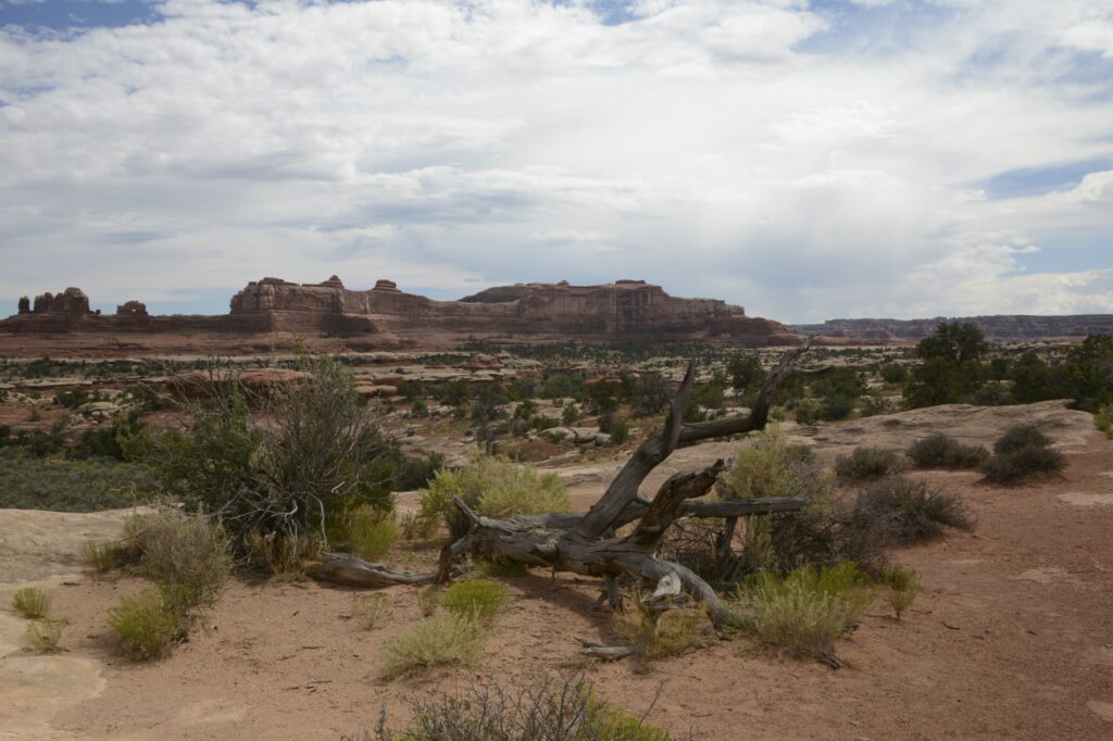
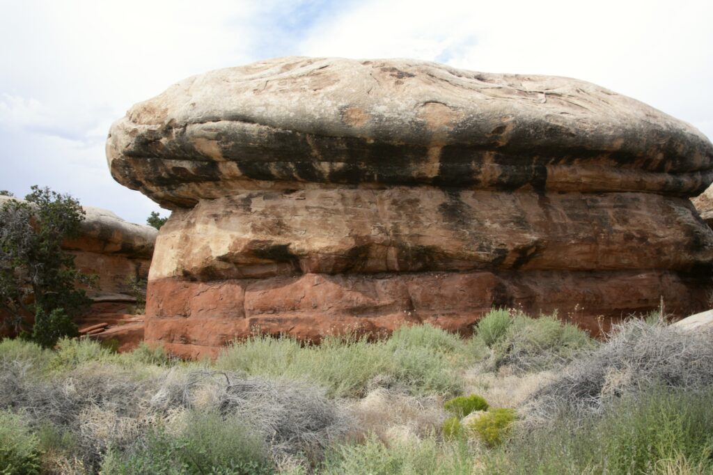
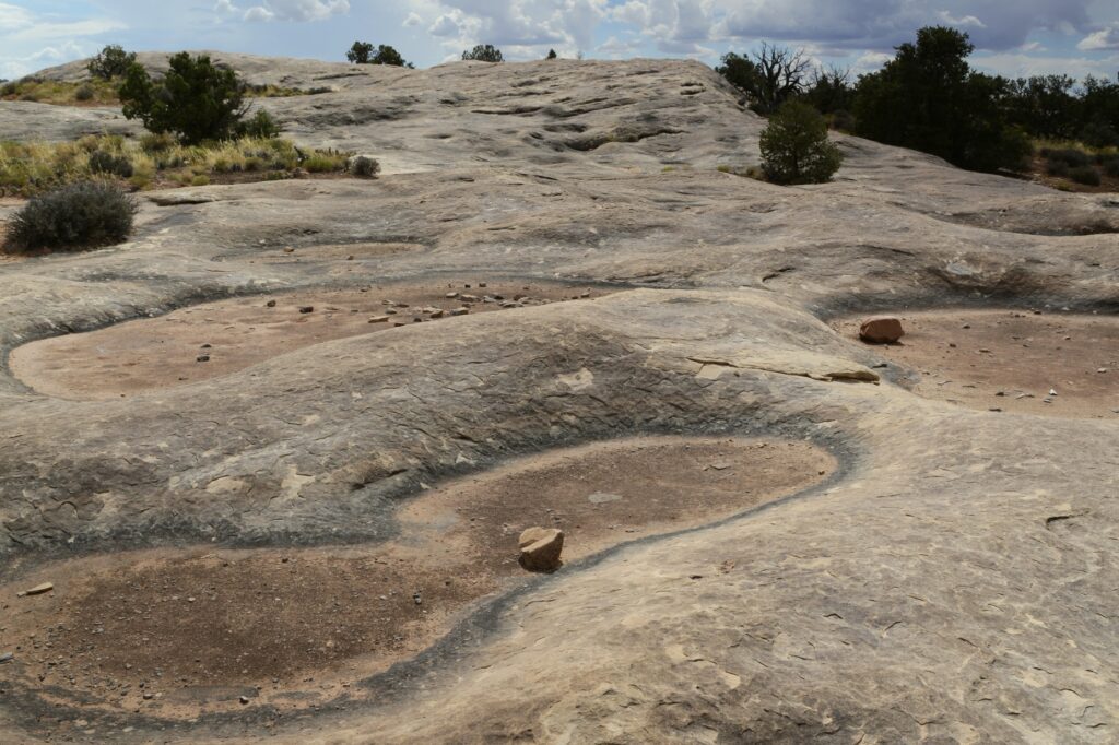
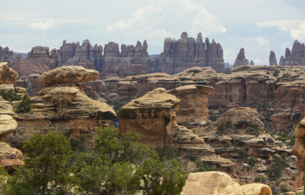
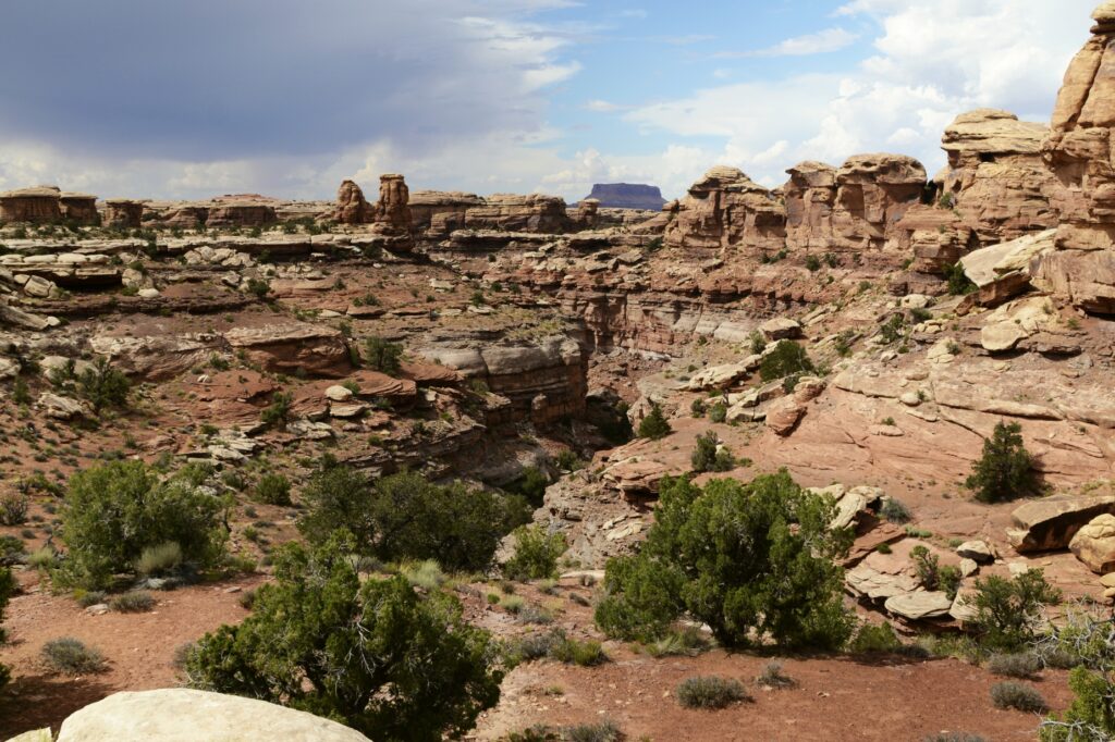
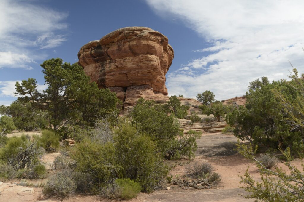
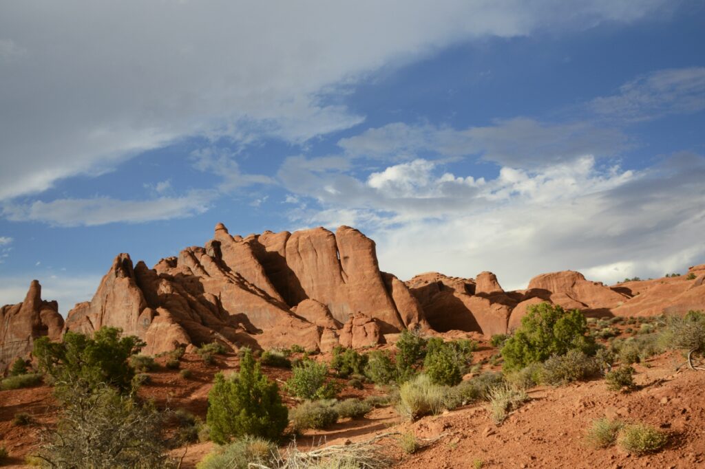
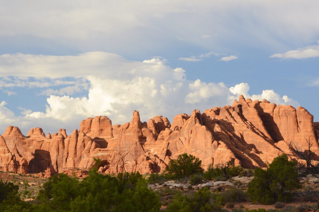
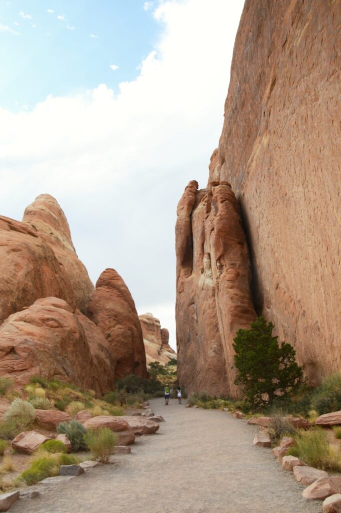
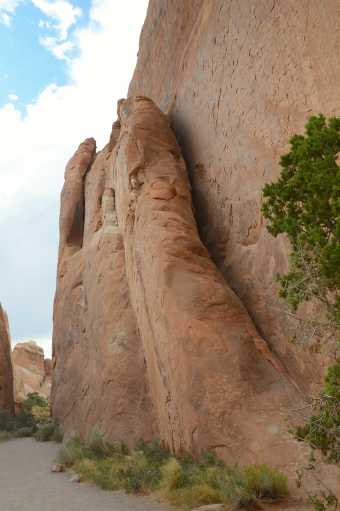
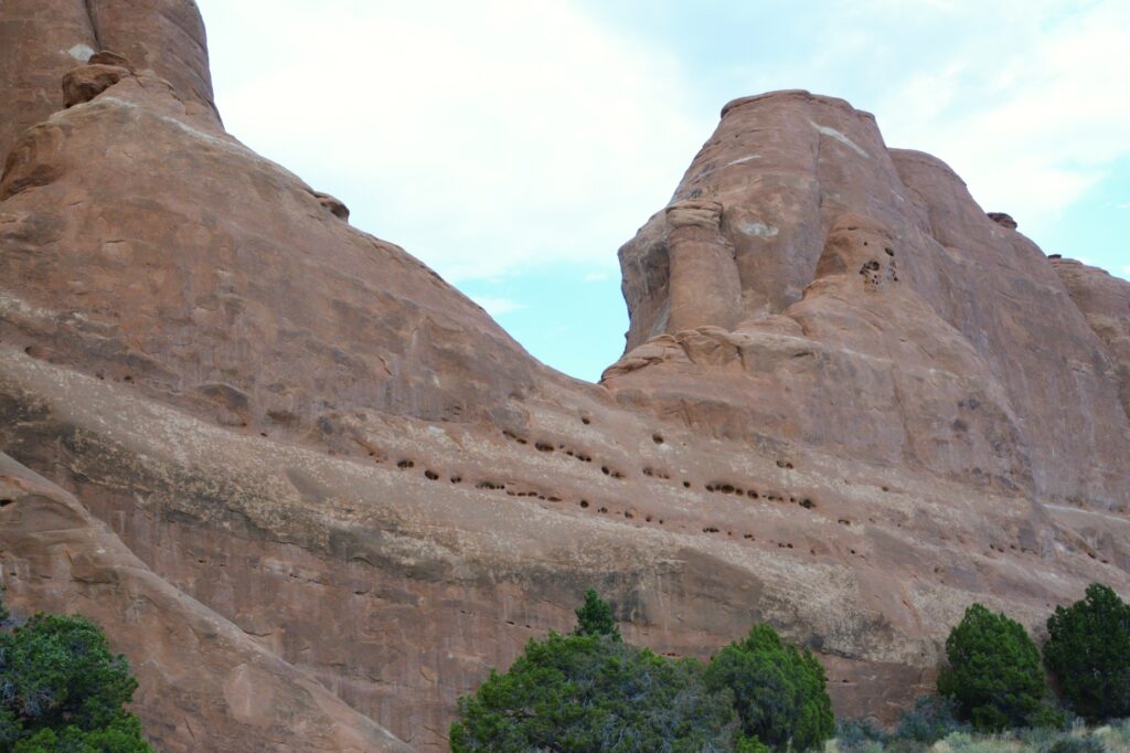
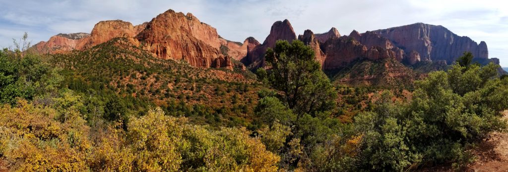
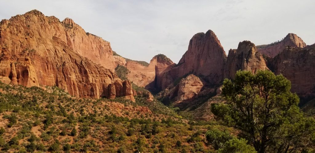
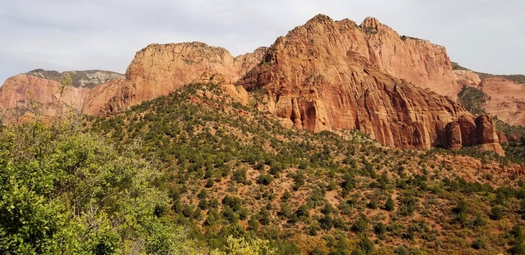
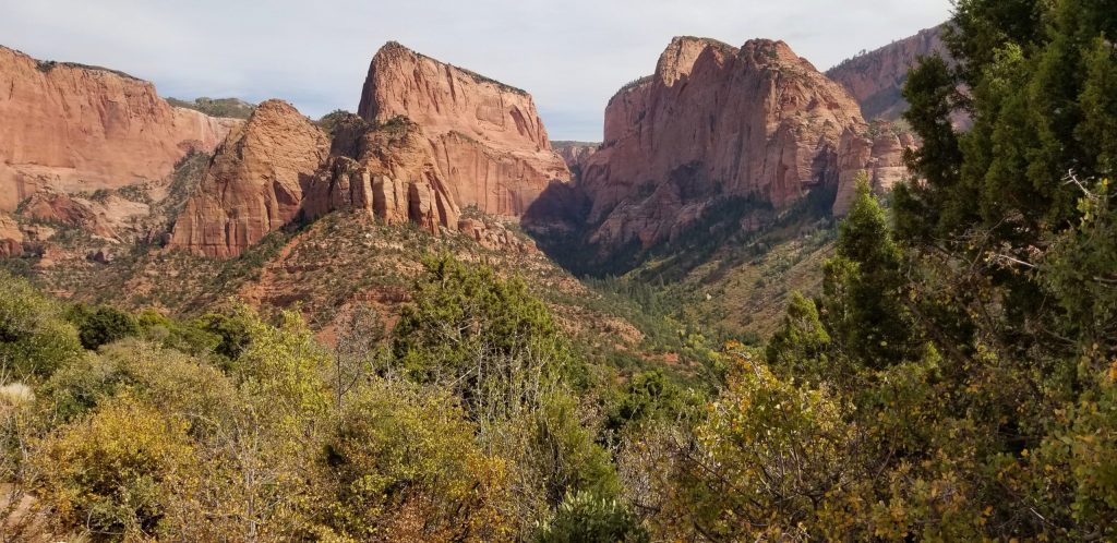
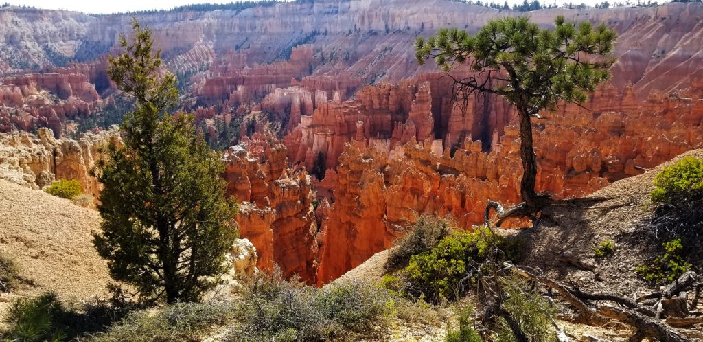
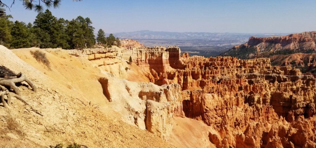
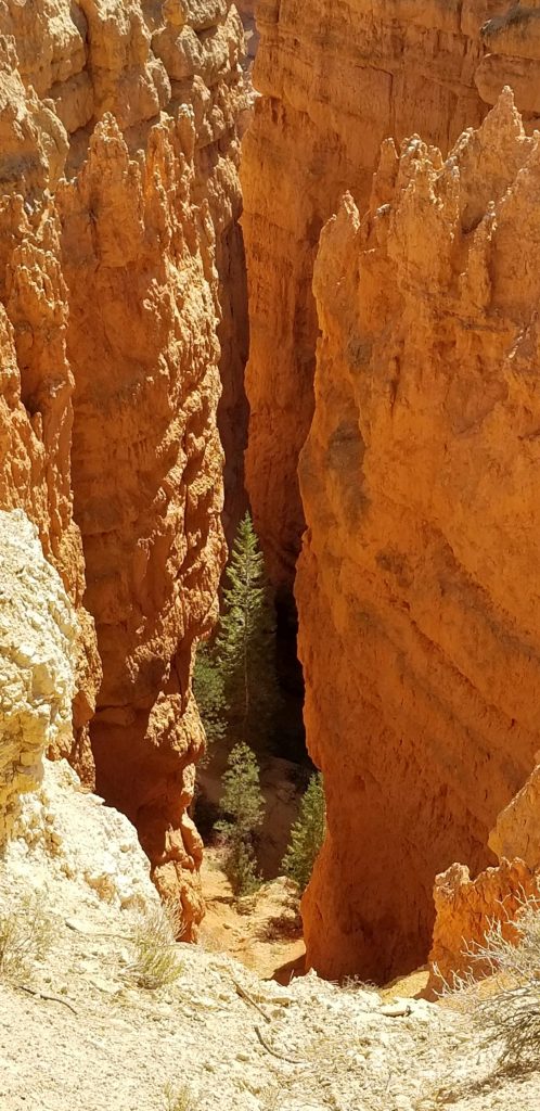
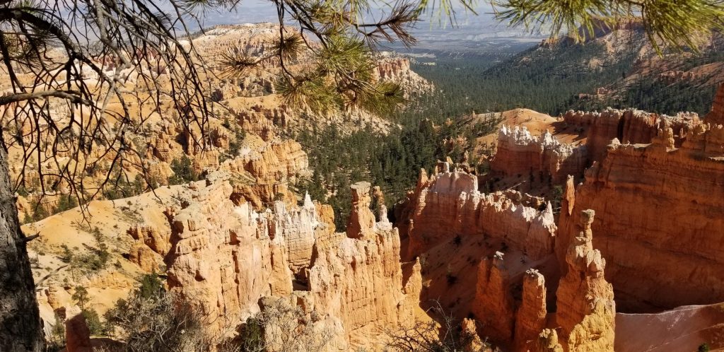
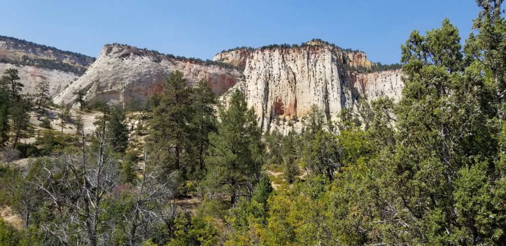
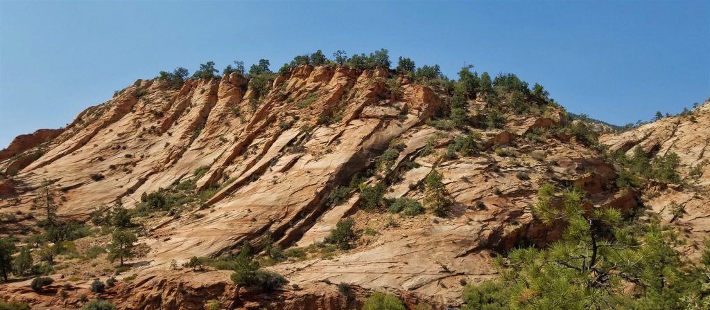
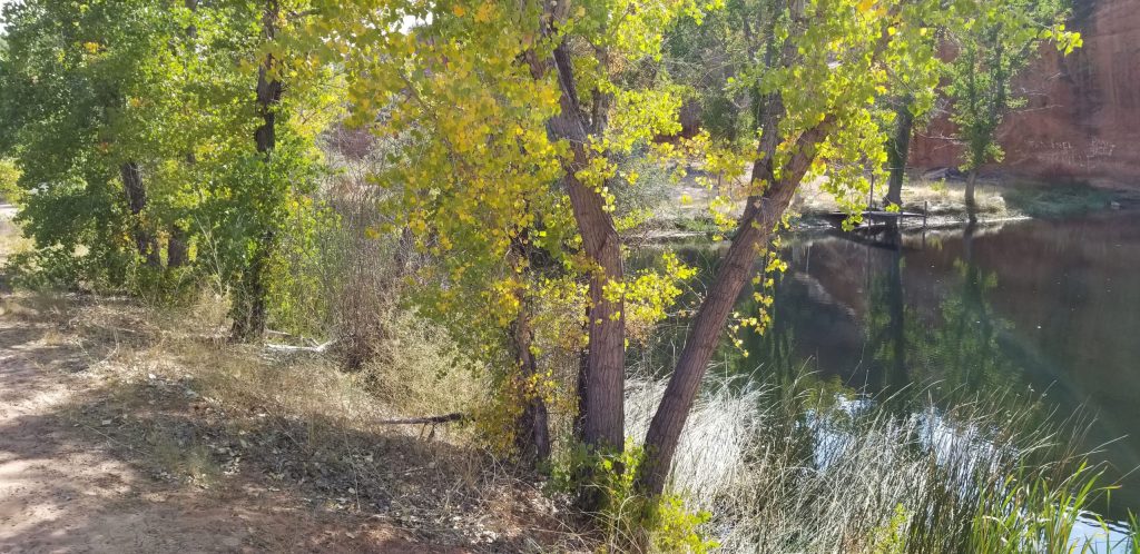
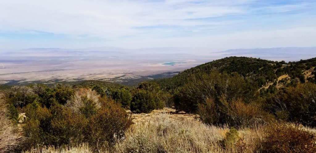
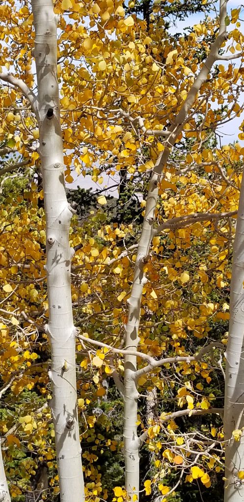
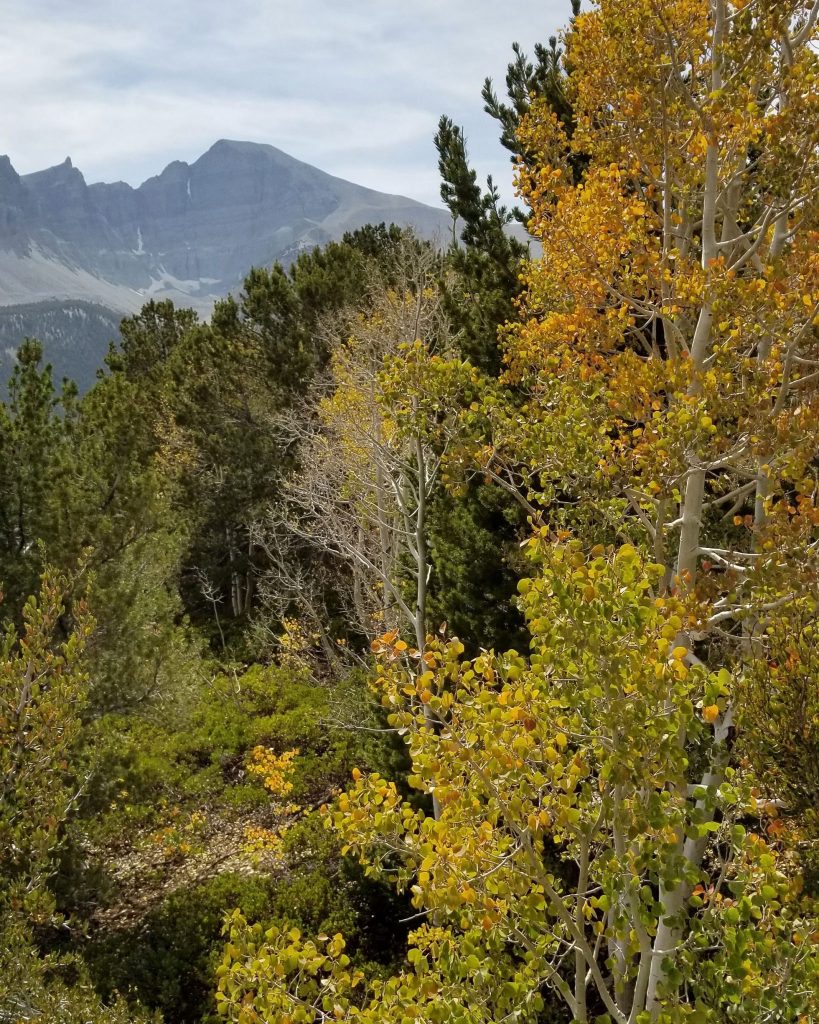
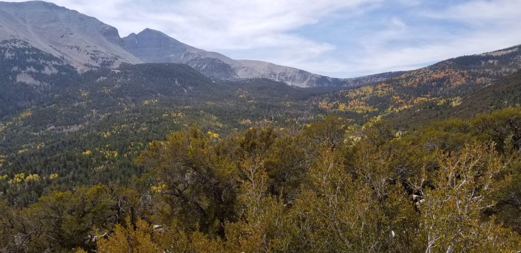
The drive along the canyon was beautiful. There were swirls in the rocks that showed water was a factor in forming the rocks we see today.

Swirls in rocks

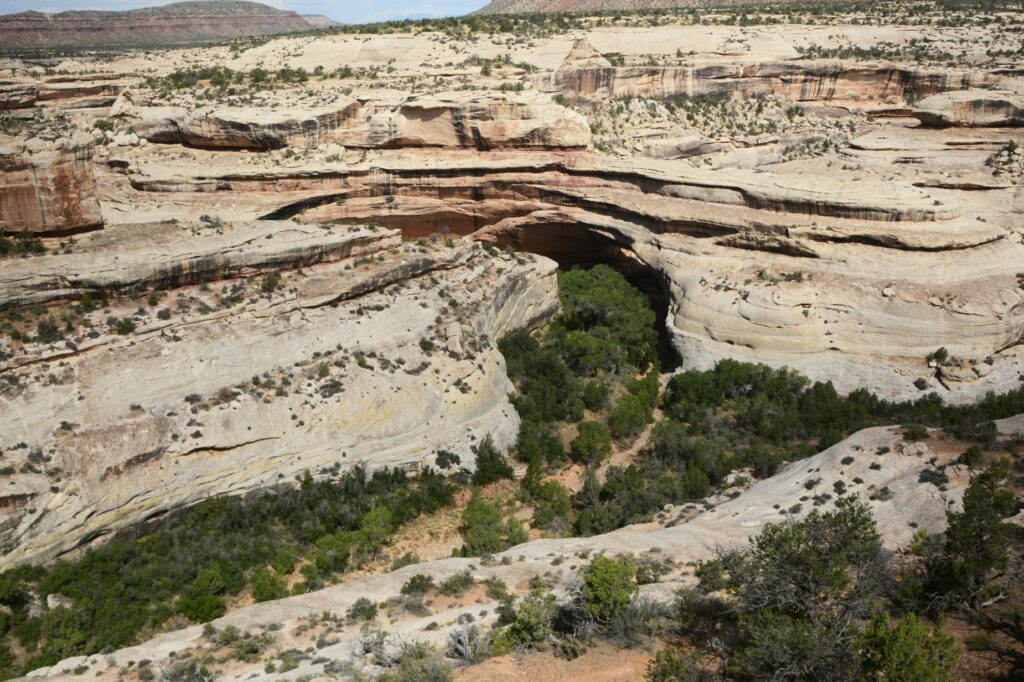
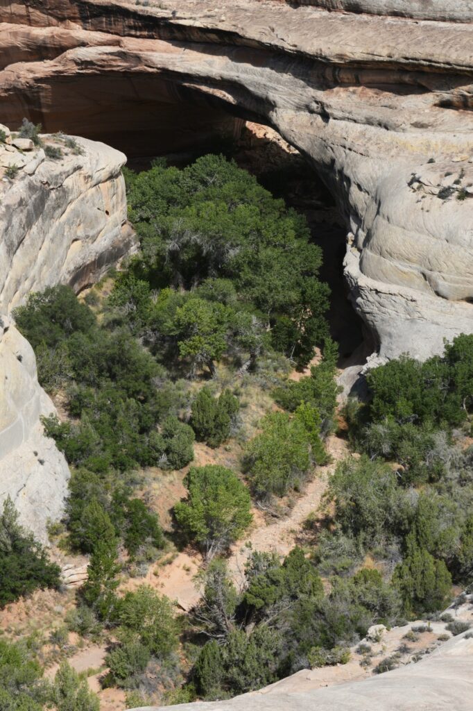
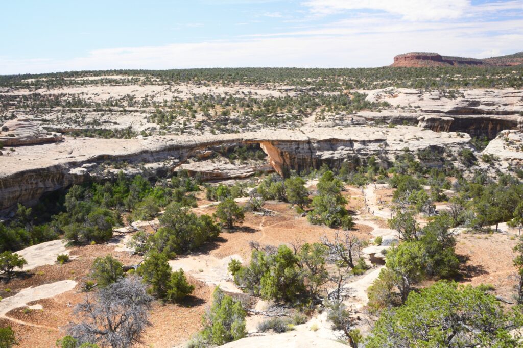
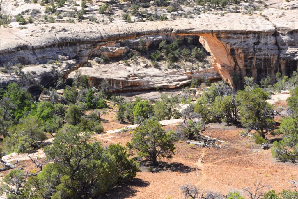
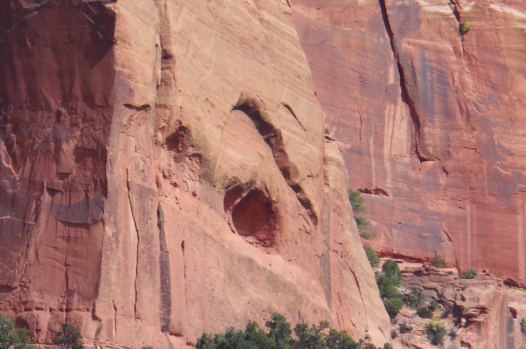
Kachina Bridge was harder to see because trees obscure the opening. It is smaller than Sipapu Bridge, but has a massive amount of rock above it.

Kachina Bridge
Kachina Bridge

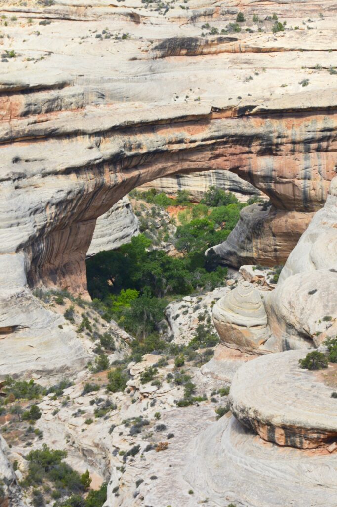
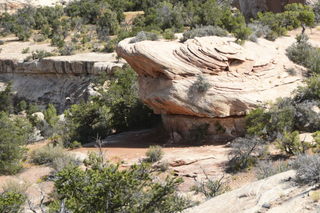
The Owachomo Bridge is the smallest and thinnest of them all. A rock mound on the east end of the bridge is why it is named Owachomo. The word means “rock mound” in the Hopi Indian language.

Owachomo Bridge with rock mound on left

You can see that the rock on the top of this bridge is much thinner. Some believe it may be the oldest of the three because of the amount of erosion, but no one can tell for sure.

Owachomo Bridge

It was very hot that day, so we didn’t take any hikes down to see the bridges from below. The viewpoints from above don’t really showcase the enormity and size of the bridges. Perhaps someday we will return during a cooler time and take some of the hikes.

Bears Ears of Bears Ears National Monument

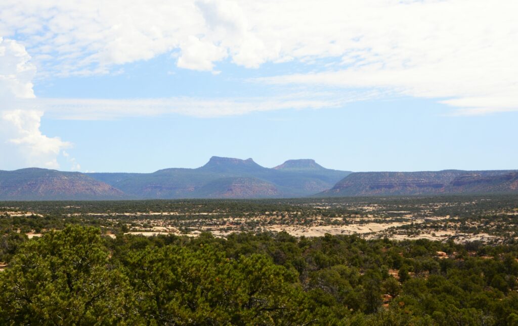
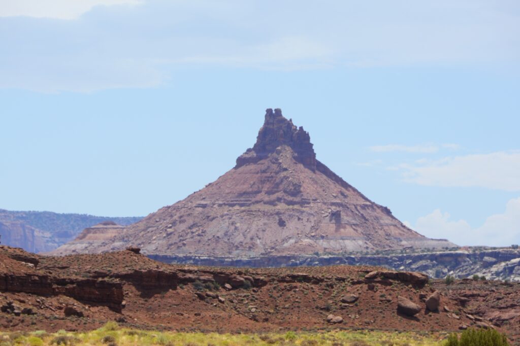
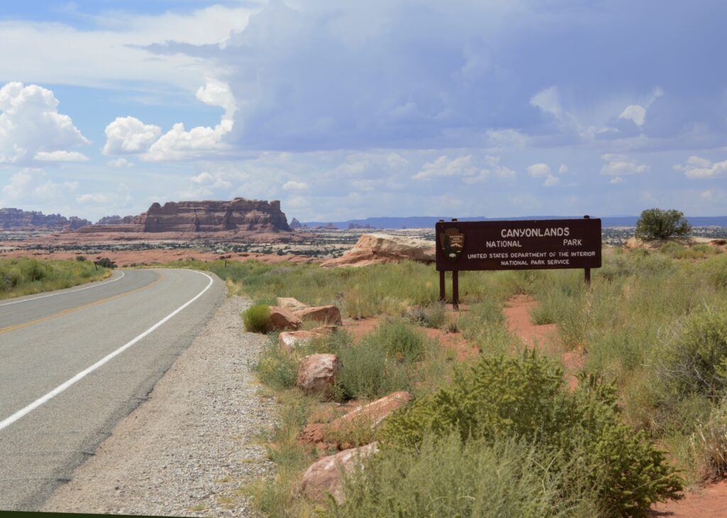
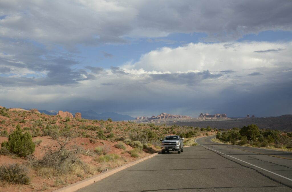
It was time for us to return to our campground. We ate our sack lunch and headed home. On our way out the park, I saw a sign about Bears’ Ears National Monument. I had been seeing signs for it, but didn’t know what to look for. In the distance were the Bears Ears for which the national monument is named. Someday, maybe we will explore it also.

“Great are the works of the Lord;
They are studied by all who delight in them.” Psalm 111:2

Canyonlands National Park, Utah

Several years ago, we visited Canyonlands National Park on the west entrance. The road follows the rim of the canyon where there are epic views of the canyons where one can see for miles. This time we visited the east entrance where we drove around the canyon floor.

On our way there, we stopped to see Newspaper Rock Archaeological Site. This site is well protected by the overhanging cliff.

It was interesting to me to see that some of the feet drawn on the rock had six toes. It seems having an extra toe or finger was maybe highly valued. Excavations have found six-toed skeletons in Chaco Canyon in New Mexico.

Six-toed footprints, flying saucers, men with horns–what are these petroglyphs about?

As we drove along the canyon floor on the way to the entrance of Canyonlands, the rock walls towered above us.

We saw this interesting rock formation along the way.

After driving several miles, we finally came to the entrance. We stopped at the visitors’ center where I found some post cards and a t-shirt.

This section of the park is called The Needles because of the colorful spires of Cedar Mesa Sandstone that are prevalent in the area. There is only one road leading in and out of the area. We drove the scenic drive all the way to the end. Our first scenic viewpoint was the Wooden Shoe Arch Overlook. I think it was appropriately named.

Wooden Shoe Arch Overlook with Wooden Shoe Arch in the distance.

Our time in southeastern Utah was during the monsoon season of August. Every day a rain storm would bring clouds and often times rain.

We drove through the campground at the park just to get an idea of what the sites looked like. There were no hook ups and the sites were very small. Water was available only seasonally at the restroom facilities.

The rock formations around the campground looked like giant toadstools.

Toadstool like rock formations among the campground area.

We drove to Pothole Point where we saw the potholes that collect water when it rains. Even though they were dried up, there is a whole ecosystem with aquatic life that comes alive when the rains come. It’s important not to step in the holes because of that. They are a source of water for the wildlife in the rainy season.

Pothole Point had many potholes to collect water during the rains.

At the end of the road is Big Spring Canyon Overlook. It was here that we got a good look at the pinnacles from which the name “The Needles” comes from.

The Pinnacles in the background give this section of the park its name: The Needles.
Big Spring Canyon Overlook

The Utah Juniper tree is a hearty tree that can survive the harshest of conditions due to its extensive and deep root system. The roots can grow 25 feet deep and spread out for 100 feet from the tree.

Utah Juniper clings to the rocks at Big Spring Canyon Overlook.

Although The Needles section of Canyonlands National Park was interesting and beautiful, it didn’t compare with the views from the western entrance. I was mildly disappointed. But I’m glad we got to see this area of the park.

We drove back to our campground in Monticello, Utah. That spot turned out to be a perfect base camp for visiting all the attractions of southeastern Utah. We still had at least one more area to explore, but I will save that for the next blog.

“No one is as holy as the Lord! There is no other God, nor any Rock like our God.” I Samuel 2:2

Arches National Park

There are five national parks in the state of Utah. Even though we’ve visited all five in the past, we wanted to revisit Arches and Canyonlands again. There’s never enough time to see everything all at once.

Arches NP is now so popular that it requires a timed entry ticket to visit during peak hours. We found the afternoons had plenty of time slots available. I was also hoping to get some sunset photos.

Visitors’ Center

We started our visit this time at the visitors’ center. It was built in 2005, so it was our first time to see it. I especially liked the views from the large windows.

Park Avenue Viewpoint and Trailhead

Our first stop along the 40-mile scenic drive was the Park Avenue Viewpoint. From the viewpoint it was like looking through a window at the mountains beyond. The trail climbed down into a valley between massive rock formations.

Three Gossips

The three gossips looked familiar to us from previous visits. I call them “Three Wise Men” because they look like they’re wearing turbans.

Erosion is constantly wearing down the sandstone rock. Some arches eventually collapse. Such is the one shown below. The three rock columns were once connected on top by a layer of rock.

Other types of formations in the park are balancing rocks, such as this one.

This double arch was formed from water erosion from the top, rather than more typical erosion from the side. Next to them are the beginnings of other arch caves.

Double Arches
Double Arches and arch caves

Delicate Arch has had many names in the past, including “Old Maids Bloomers”, “Pants Crotch” and “School Marm’s Pants.” Although the rumor is not true that the names of Delicate Arch and Landscape Arch were inadvertently exchanged due to a signage switch, in my opinion, the switched names fit better than the current ones.

We hiked up to this arch years ago. But this time, I just took a photo from a distance with a zoom lens.

Delicate Arch

There are over 2,000 natural arches in Arches National Park. There are also hundreds of towering pinnacles, huge rock fins, and giant balanced rocks.

North Window

Windows are formed by blowing sand that erodes the rock instead of water erosion. North and South Windows are sometimes called the “spectacles” because they look like eyeglasses.

North and South Windows

Formations called “fins” are formed when water flows along parallel joints or fractures and erodes the rock away in “slices”.

Fin rock formations

As the afternoon wore on, the clouds parted and the sun lit up the rocks. We weren’t at the end of the scenic drive yet. There were still more sites to see.

Driving along the road, we could see the beginnings of many arches forming in the rocks.

Cave arches

Skyline Arch was one of my favorites simply because you could see it from the road and it had this interesting twisted old tree in front of it.

Skyline Arch

At the end of the scenic drive is Devils Garden Trailhead. This trail leads to Landscape Arch, which is the longest rock arch in North America. It is very long and thin, which makes me think it should have been named “Delicate Arch.”

The wind had kicked up, and it was late in the day, so I only hiked a short way on the two-mile hike to the arch.

The Gates of Argonath

The entrance to the trail is something like walking through the Gates of Argonath in the Lord of the Rings. The rocks tower on either side of the pathway like guards.

Entrance to Devils Garden Trailhead
Devils Garden Trail

I hiked far enough to see one of the other arches along the trail called Pine Tree Arch, then turned around and headed back.

Pine Tree Arch

We noticed these holes in the rock above the parking lot. It shows how water enters the rocks and begins the erosion process that eventually forms arches.

The rain was all around us while we were there, but it finally caught up with us as we were leaving.

The rain caught up with us.

Our second visit to Arches made for a beautiful day enjoying the beautiful scenery created by God.

He is the Rock; His deeds are perfect. Everything He does is just and fair. He is a faithful God who does no wrong; how just and upright He is! Deuteronomy 32:4 TLB

Kolob Canyon Utah

October 11, 2020

Zion National Park is bigger than I thought! We drove into Kolob Canyon little realizing it was a part of Zion NP. However, there is no road to the main part of Zion through Kolob Canyon. It’s a dead end road. But the beautiful red rocks cliffs are just as stunning.

This was a nice short trip to the backside of Zion to see more of these amazing rocks.

Two more nearby sites we saw while camping in Hurricane, Utah, were the CCC (Civilian Conservation Corp) Camp in Leeds, Utah, and an old ghost town that was a former mining town called Silver Reef.

The CCC was an organization started from 1933 to 1942. It was a work relief program for young men between 17 and 28 years old. It provided manual labor jobs related to the conservation and development of natural resources in rural lands owned by the federal, state and local governments. It provided them with food, clothing and shelter plus a wage, part of which was sent home to their families.

Silver Reef was once the site of a silver mine in 1866. Geologists were at first uncertain about the claim since silver is not normally found in sandstone.


Categories: Airstream Travel Tags: CCC camps Utah, CCC corp, Civilian Conservation Corp, Hurricane Utah, Kolob Canyon Utah, Leeds Utah, Mining towns, red rocks, Silver mines, Silver Reef Utah, sites to see in Utah, Southern Utah travel, St. George Utah, Utah travel, Zion Kolob Canyon, Zion NP | Comments

Bryce Canyon National Park

October 10, 2020

On the way to Bryce Canyon, we passed through Red Rock Canyon. In Bryce, you are looking down into the canyon. However, in Red Rock Canyon, you are down in the canyon looking up.

The red rock spires reach into the sky.

We drove on to Bryce Canyon where we saw this awe-inspiring display at Sunset Point. It wasn’t sunset, but the rocks were beautifully reflecting the afternoon light. Down below were trails, wildlife and conifers. It you look closely, you can see the tops of the trees.

Bryce Canyon is a changing landscape. The spires, or hoodoos, as they are called, continue to change through erosion from wind, rain, snow and ice.

Bryce Canyon National Park is a rather narrow but long national park positioned along the edge of the Paunsaugunt Plateau. In the distance are the gray, white and vermillion cliffs that stair-step down to the land below. The elevation at the rim varies between 8,000 to 9,000 feet in elevation, thus the expansive views.

At around mile 12 of the road into the park, there is a “natural bridge,” which is really a natural arch. The name was given so long ago that it stuck. A true natural bridge by definition is formed by flowing water that cuts through the sandstone. This arch was formed by other means.

Looking across the span of Bryce NP at the end of the road at Rainbow Point.

We enjoyed our day at Bryce Canyon National Park. We would like to go back some day to spend more time there.

Categories: RV Travel, Utah Travel Tags: Airstream, Airstream Travel, Bryce Canyon, Bryce Canyon NP, Bryce National Park, Full Time RVing, National Parks, Red Rock Canyon, Red Rock Canyon Utah, Utah, Utah destinations, Utah scenery, Utah travel

Fall Foliage in Utah

October 2020

While staying in southern Utah, we took a day trip to see the fall foliage. Driving up the canyon on Hwy 9, we caught some leaves turning beautiful colors.

We stopped at a county park where I hiked up a hill pathway to see where it might lead. I was rewarded with this beautiful pond capturing the reflection of the golden aspen trees.

Categories: RV Travel, Utah Travel Tags: Airstream Travel, CA RV travel, Fall colors, Fall foliage, Full Time RVing, Golden aspens, RVing, Travel, Traveling, Utah, Utah travel

Zion National Park and Surrounding Areas

September 29, 2020

While staying in Hurricane, Utah, near St. George, we took day trips to Zion and Bryce Canyon National Parks, Cedar Breaks National Monument and Pink Sands State park. The day we went to Zion was a Friday. Big mistake!  The parking lots were full, so we decided to just drive through the park. None of the turnouts were available, so the first photo I got was while waiting in line for 15 or 20 minutes to drive through the tunnel. The above photo is the shot I got from the car. The park regulates the tunnel traffic to one lane, and thus the wait.

As we drove through the park, we eventually found a few turnouts where I could get some photos. The huge red rock canyon walls are just as beautiful as ever. I even managed to see a big horn sheep, though he was too far away to get a good photo.

This was our last stop in Zion. It is called Checkerboard mountain.

On the way out of the park, we drove through the town of Kanab, Utah, where we once stayed for a family vacation back in the late 80’s. There’s a restaurant called “Trails End” and just a few doors away was an art gallery (not there now) where Ray bought a watercolor painting by Roland Lee, now a renown artist. Little did we know then that we’d made a good investment. We just liked the painting!

A little ways out of Kanab, we came across this interesting “cave” and lagoon. The fall colors caught my eye.

Our trip that day took us in a loop that dipped down into Arizona. We drove through the town of Colorado City, Utah, where the polygamist Fundamentalist Mormons used to have a large colony, and on to a Utah state park called Pink Sands. The sands aren’t really pink. They are more like red or orange. It cost money to drive into the park, and I didn’t plan to stay long, so I climbed up a sand dune and got a couple of shots of the “pink” sand dunes.

Our day trip took us many miles, but discovering new places is one reason we travel full time. Our great country is full of beautiful national parks, state parks and scenic beauty.

Categories: Airstream Travel Tags: Airstream, Airstream Travel, Full Time RVing, Highway 9 Utah, Kanab Utah, Pink Sands, Pink Sands State Park, RVing, Utah travel, Zion, Zion National Park

Great Basin National Park

September 22, 2020

A little town called Delta in the central western part of Utah was a nice little town where we stayed for a week. It was the closest we were going to get to Great Basin National Park on our 2020 journey, so we decided to take a day trip to add another National Park to our accomplishments. Even so, it was more than 100 miles to the park which is actually in Nevada. We packed a lunch and headed out in the morning. It was a pretty barren landscape until we got within 30 miles or so of the park. There’s a huge dry lake, Sevier Lake, that offers some views from the highway. It is an endorheic lake (a drainage lake with no out-flowing streams to other bodies of water).

Before we drove far inside the park, we stopped at an outdoor exhibit. In the field beyond was an old car. It you look beyond it, you can see part of the Great Basin that the park is named after. According to Wikipedia, “the Great Basin is the largest area of contiguous endorheic watersheds in North America. It spans nearly all of Nevada, much of Oregon and Utah, and portions of California, Idaho, Wyoming and Baja California in Mexico.” It is a vast area. What is surprising is that the Great Basin National Park itself is mostly a road up a 13,000 foot mountain called Wheeler Peak, and the surrounding foothill areas. The park derives its name from the surrounding basin area.

View of Wheeler Peak

The drive up to Wheeler Peak was breath-taking. Right away you could look over the vast distances of the Great Basin below.  The smoke from the summer wildfires in the west obscured our view somewhat.

As we traveled further up the mountain, the aspen trees began to show their fall colors.

The road took us over 10,000 feet in elevation. At the top are the bristlecone pines, some of which are hundreds of years old. Looking up close at the pine cones, I realized why they are called “bristlecone” pines.

Here’s a closer view of Wheeler Peak. At the end of the road is a parking lot where there are trailheads for hiking trails to see ancient bristlecone pines and even one trail to the top of Wheeler Peak. The high elevation and thin air would deter me from such an adventure. On the day we went the parking lot was full, so we turned around and headed back.

Other items of interest to explore would be the alpine glaciers, Lexington Arch–a natural arch, Lehman caves, and the many trails around the park. This park is a hidden gem that I recommend exploring if you ever get the chance.

Categories: Airstream Travel, Utah Travel Tags: Bristlecone Pines, Fall colors, Fall colors in Utah, Fragrance, Full Time RVing, Great Basin National Park, Nevada travels, RVing, Utah travels

Mount Pleasant, Utah

September 15, 2020

A small town in the center of Utah was one of the most beautiful spots we’ve stayed in this year. This first photo is taken looking from the back of our campground. The mountains around us were red with fall foliage.

We took a drive one day to get a closer look. We drove up this road as far as we could go. We turned around when it became a dirt road. Many of the people in the campground had dune buggies or other off-road vehicles that they use to drive on these back roads.  But we’re just fine driving on paved roads only.

From there, we drove north to Fairview and drove west on Highway 31 up into the mountains. The bright foliage of the trees was just beautiful. Unfortunately, there were very few turnouts where one could stop to get photos. As we got closer, the colors got even brighter.

At the top of the pass, we turned south on Skyline Drive which took us along the ridge of the mountains. We drove up over 10,000 feet in altitude. Looking down from there, we saw a lake in the valley below.

Looking back from where we came, we could see more colorful trees. Nearby forest fires made the horizon hazy.

As we drove further, we found this alpine reservoir.

Although it was September, these flowers were still blooming as if it was still summer.

While we were in this campground, we had a dead battery on the truck one day when we tried to start it up to drive into town. Fortunately, the campground handyman gave us a jump start. We had to drive for an hour to find a Walmart where we could get the battery replaced. The technician also cleaned the corrosion on the contacts of the other battery as well and tested it. We made it into a grocery shopping trip while we were waiting. We were blessed that this happened on a day when we weren’t towing the trailer! God is good!

Categories: RV Travel Tags: Fall colors in Utah, Full Time RVing, Highway 31 Utah, Mount Pleasant Utah, RVing, Utah, Utah places to see