South Texas

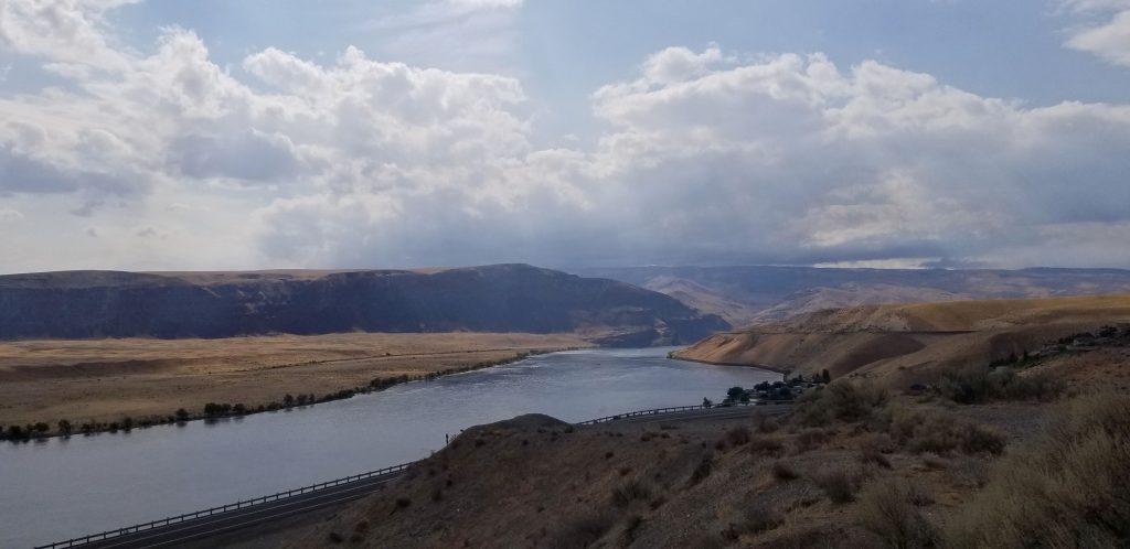
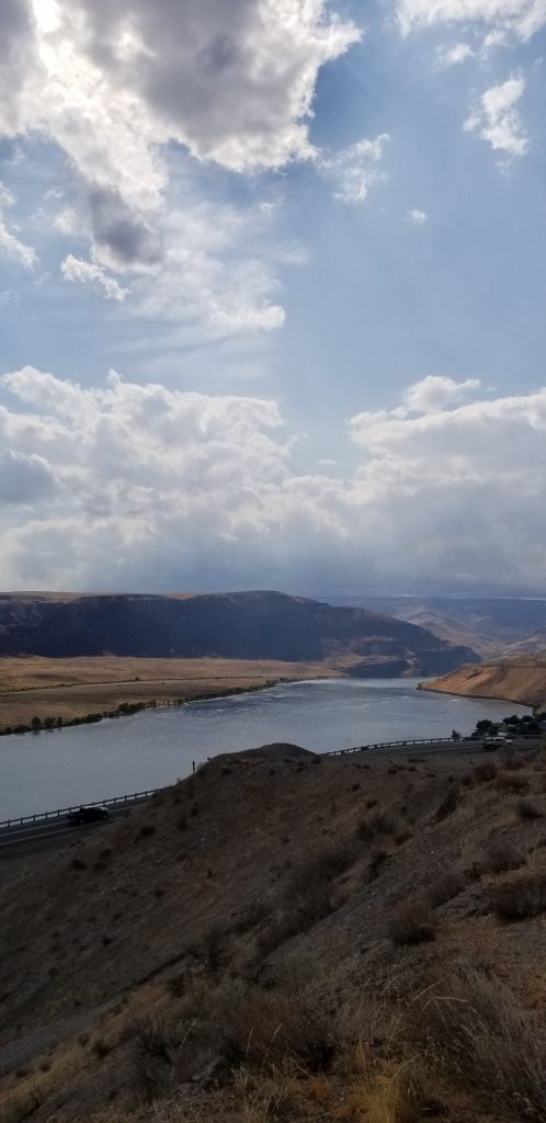
During January and February of 2022, we stayed for several weeks in Harlingen, Texas, which is located in the Rio Grande Valley or RGV at the very southern tip of Texas. The Rio Grande Valley is not really a valley, but a river delta. It is a popular place for “winter Texans”, people who want to escape the harsh winters of the northern United States.

Having stayed in this area previously, we already explored many of the museums and sites to see. This time we added another place to our list of places we have been: The Sabal Palm Sanctuary.

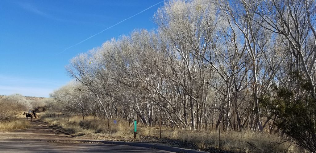
The drive to Sabal Palm Sanctuary took us right down along the border. We saw miles and miles of the border wall. To get to the Sanctuary, we had to drive through an opening in the wall. There was a Humvee with National Guardsmen at the gate. They allowed us through both ways without a problem.

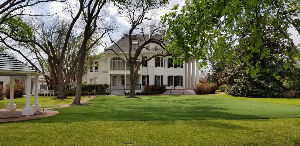
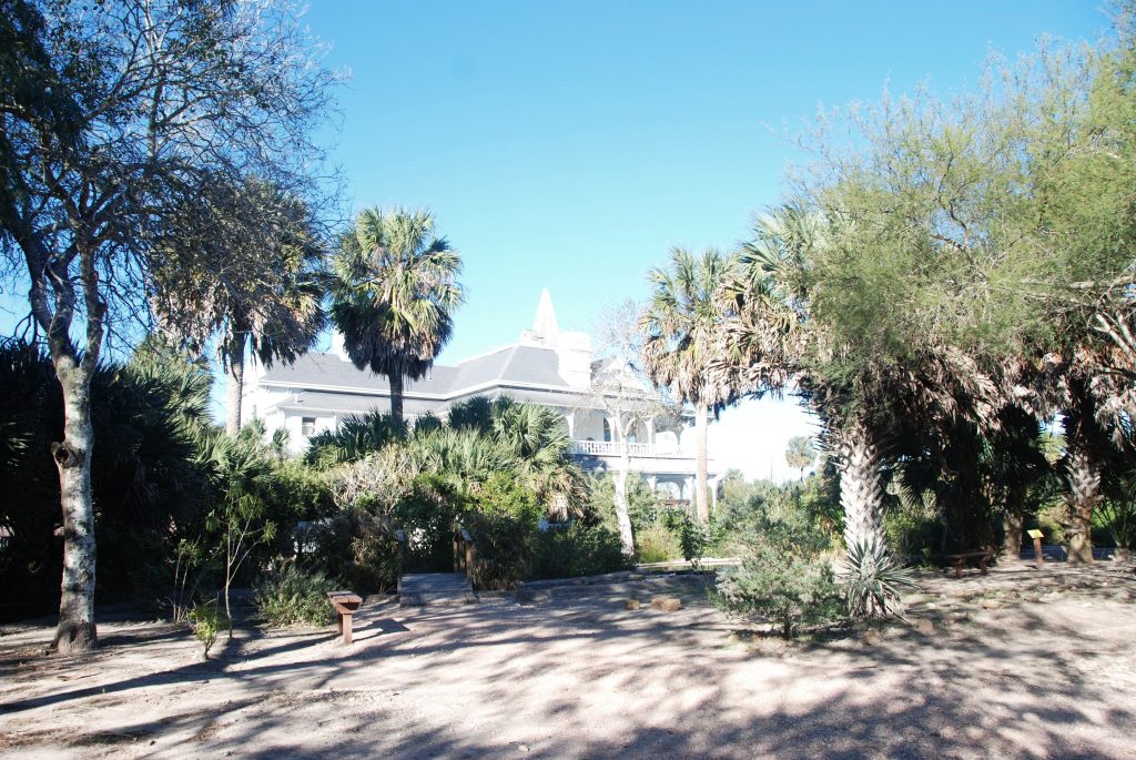
The plantation house is like stepping back in time. Ray took this photo, but I changed it to black and white to get a feel of the place in 1892.

The Rabb Plantation House of Sabol Palm Sanctuary
Rabb Plantation House

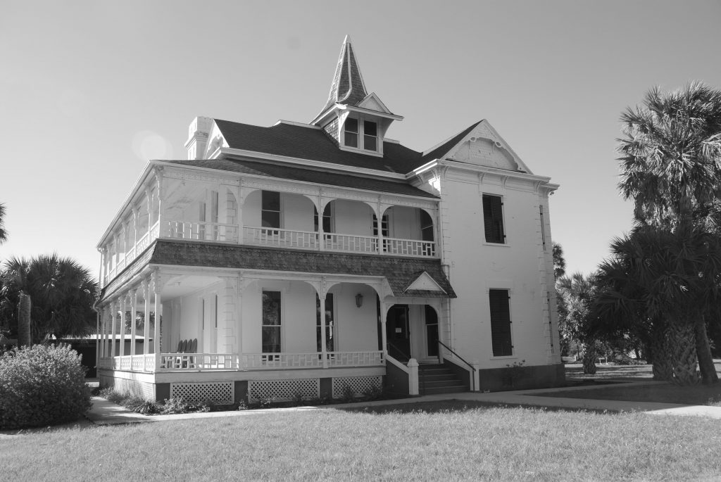
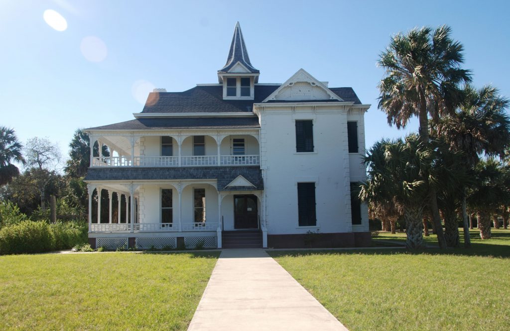
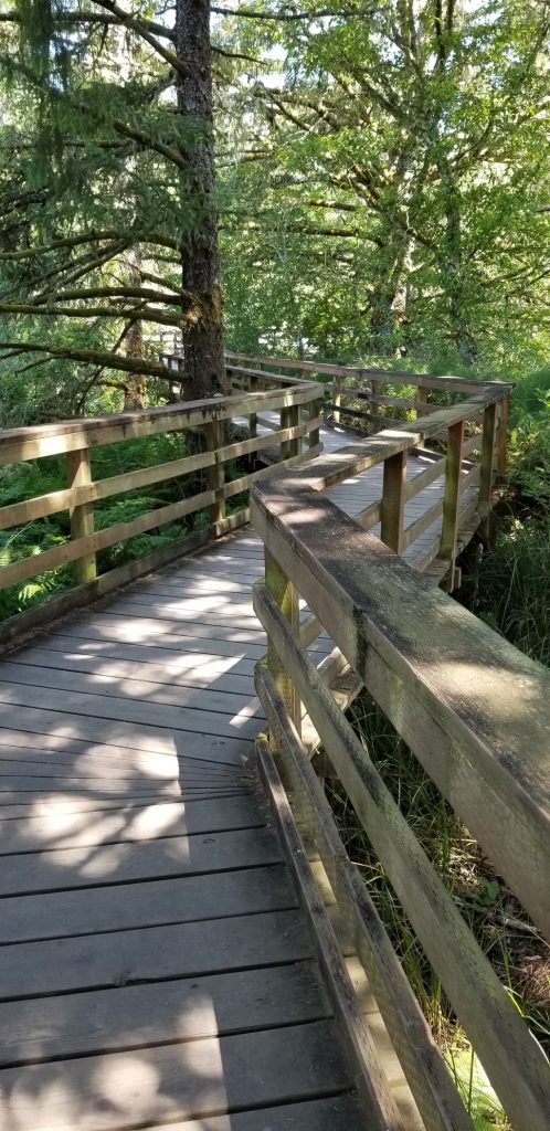
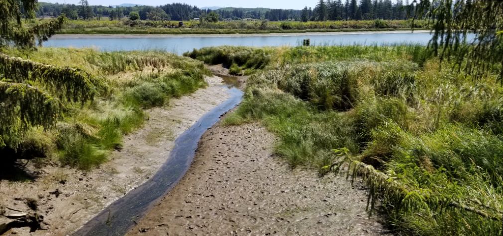
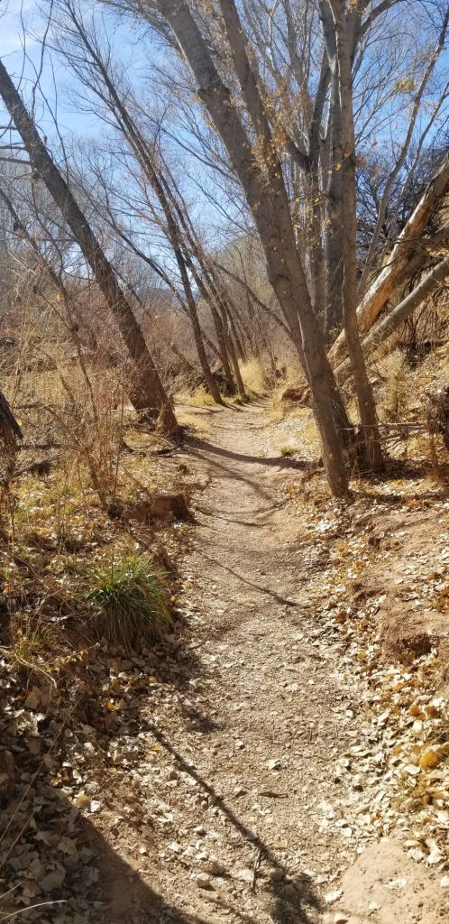
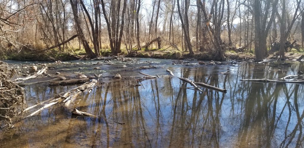
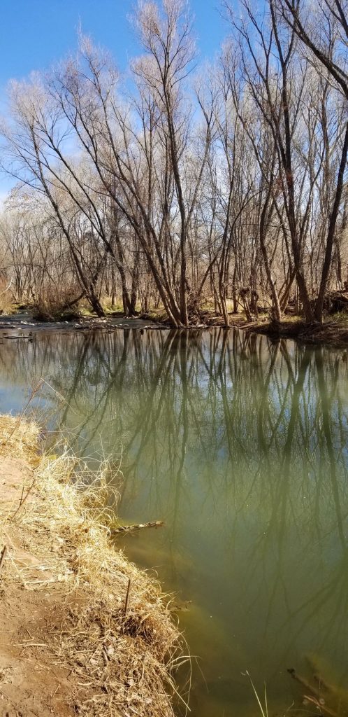
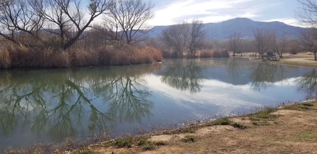
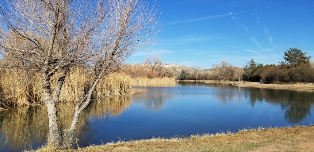
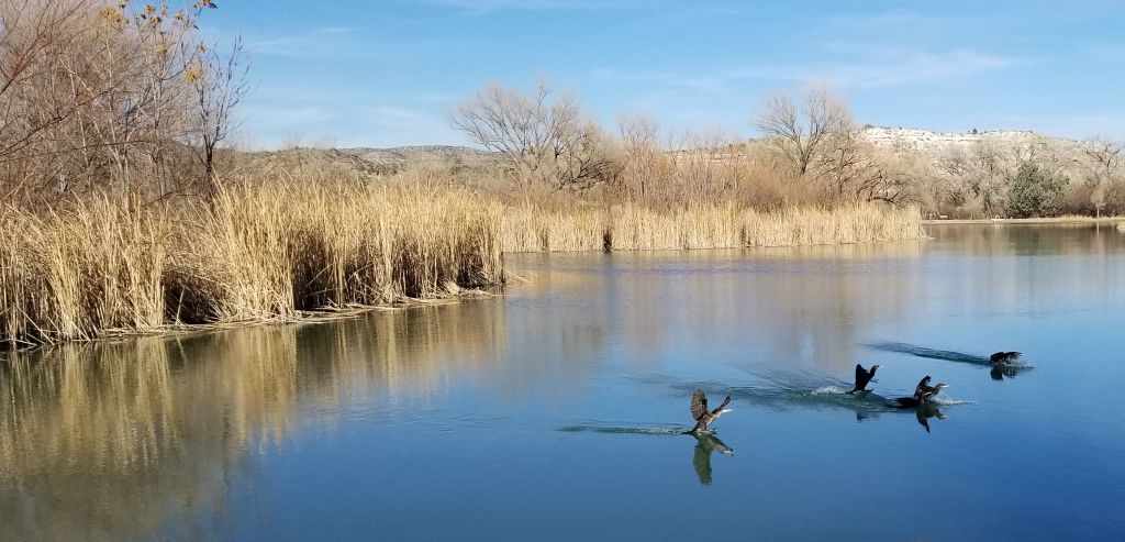
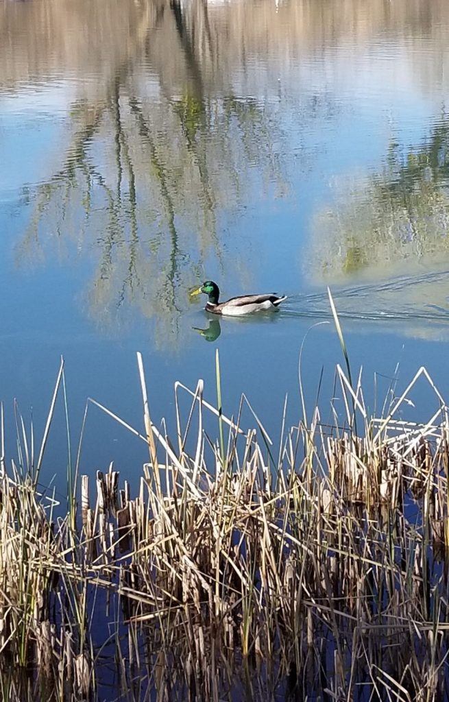
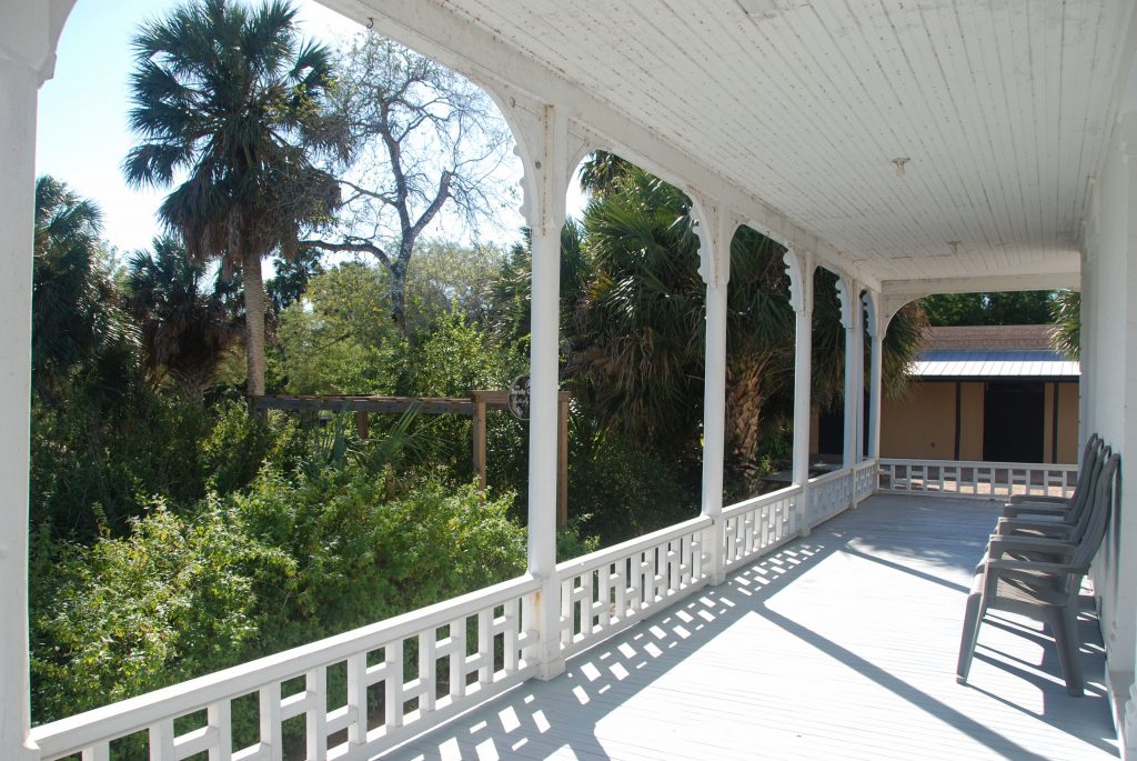
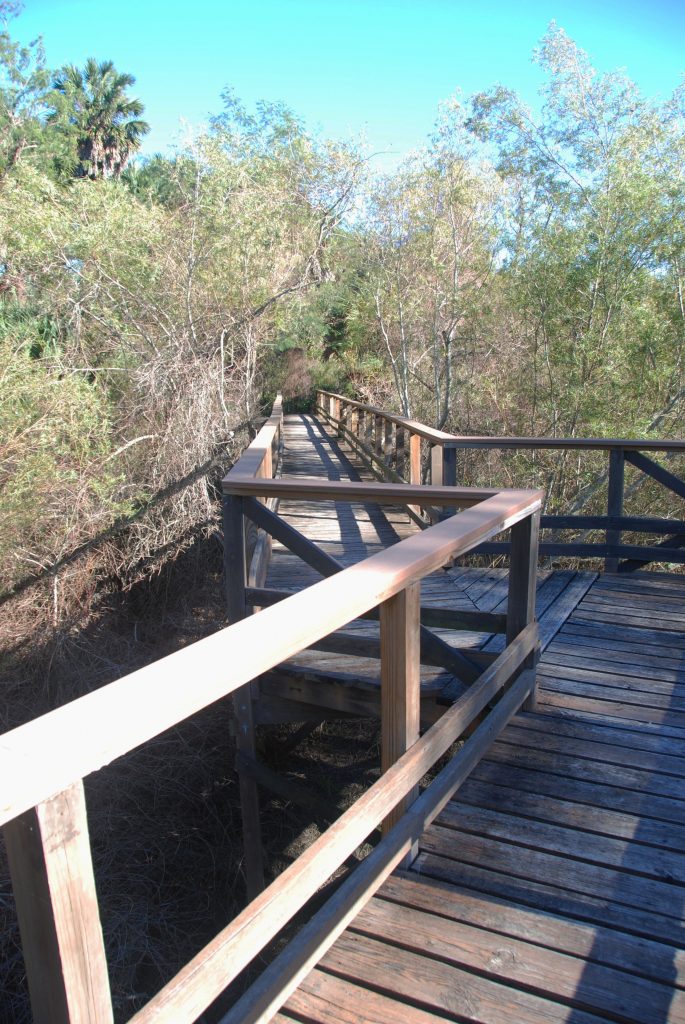
When Frank and Lillian Rabb built the house, it had a commanding view of the Rio Grande River and the steamboats that docked there. Today, the river has since changed course and the view is quite different. We walked some of the trails of the more than 20,000 acres and saw the old river bed.

The veranda of the Rabb Plantation House

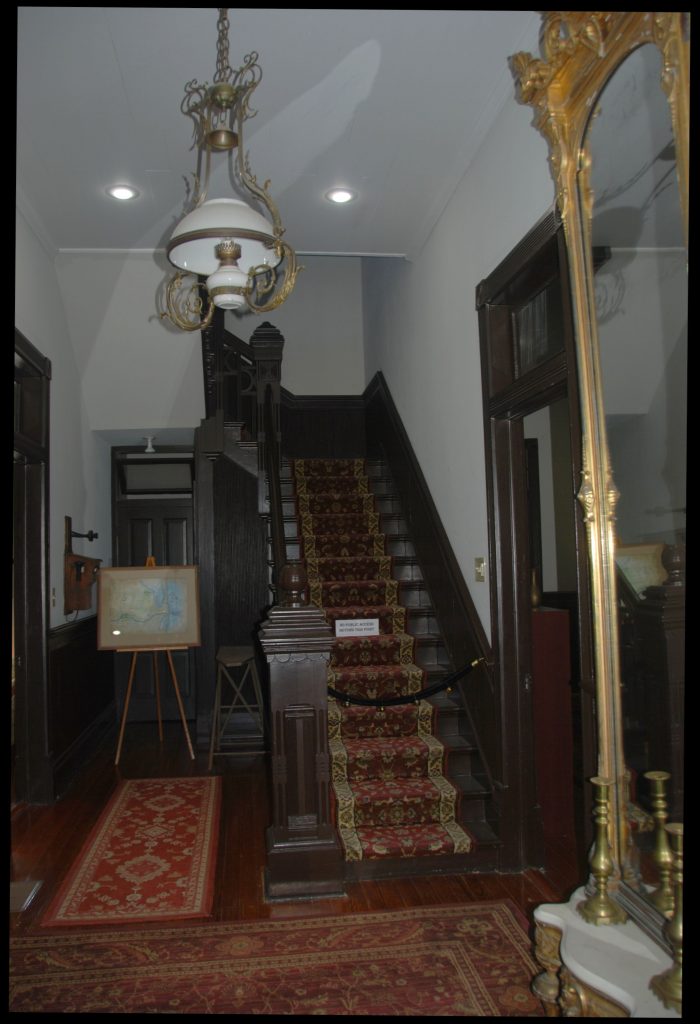
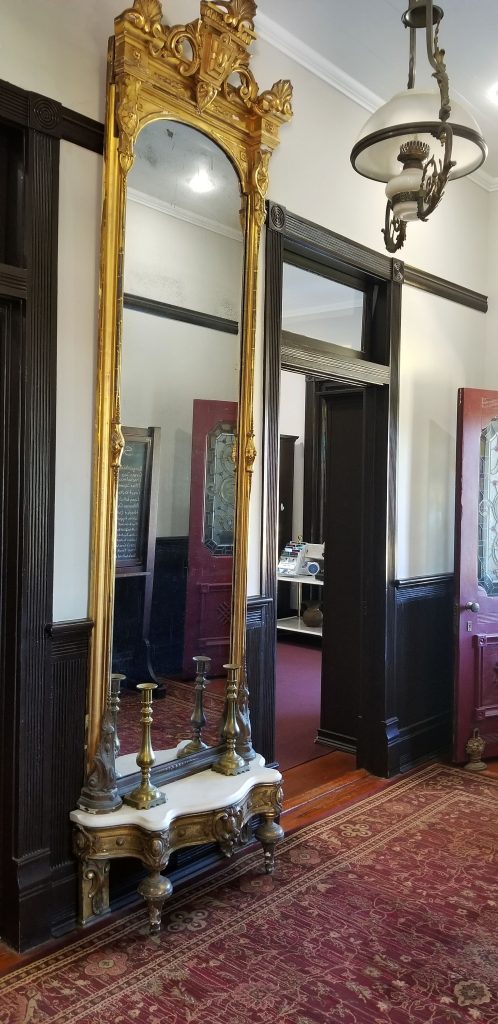
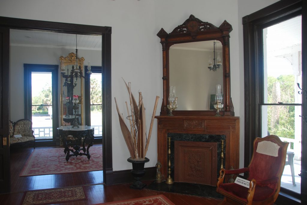
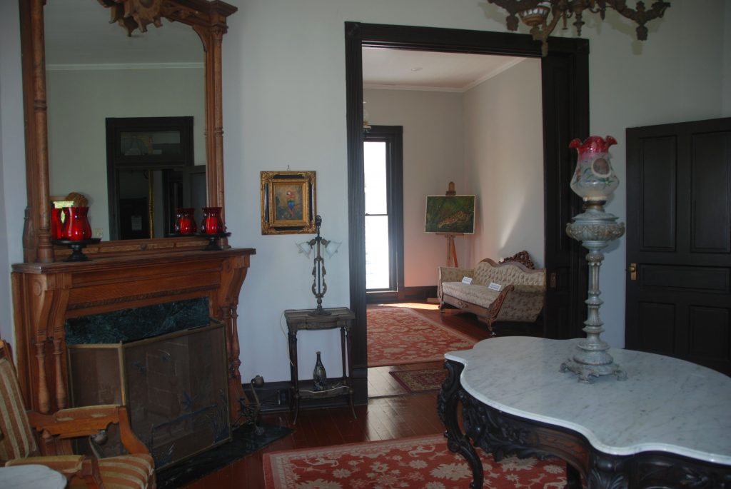
Inside, the rooms had been restored to their former beauty. The polished mahogany wood staircase in the entrance and the antique mirror showed the grandeur of previous days.

Staircase in entryway
Mirror in entryway

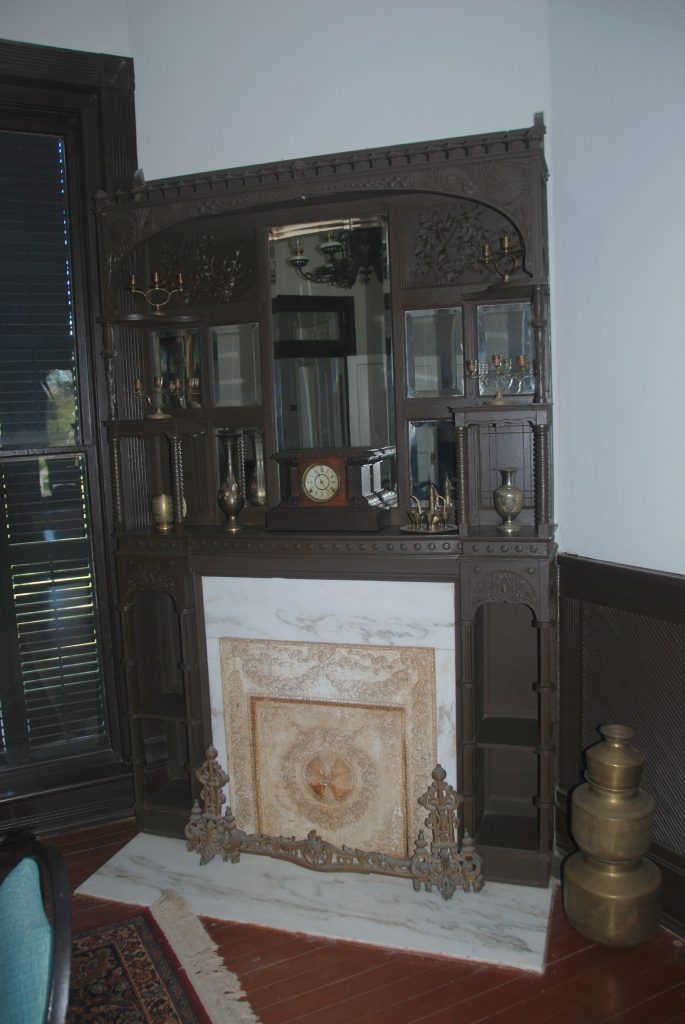
Two fireplaces with mirrors and detailed engravings were decorated with more antiques. I doubt that they were used much since the winter weather is so mild in south Texas. However, while we were there, the sunny, warm days were few and far between. We had more rain than sunshine.

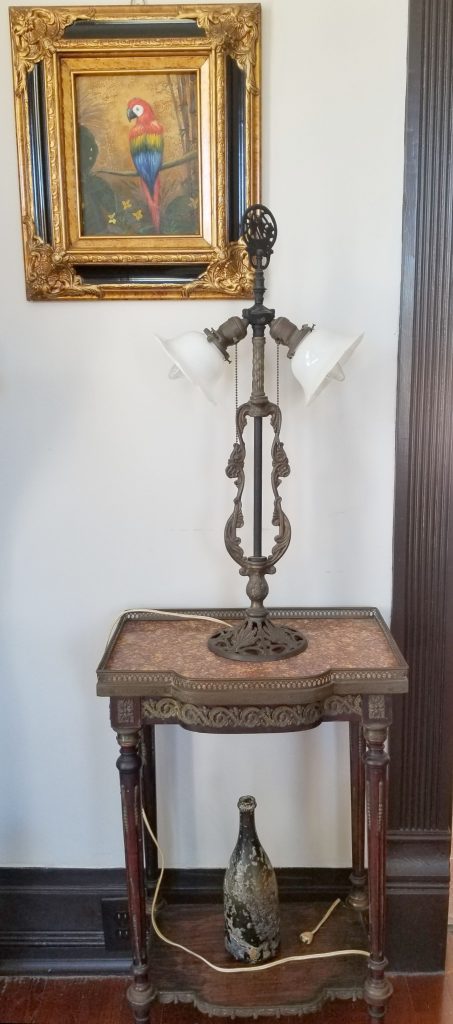
The antique lamp on the living room table caught my eye. Electricity didn’t come to the RGV until 1929 and oil lamps were beautiful as well as useful.

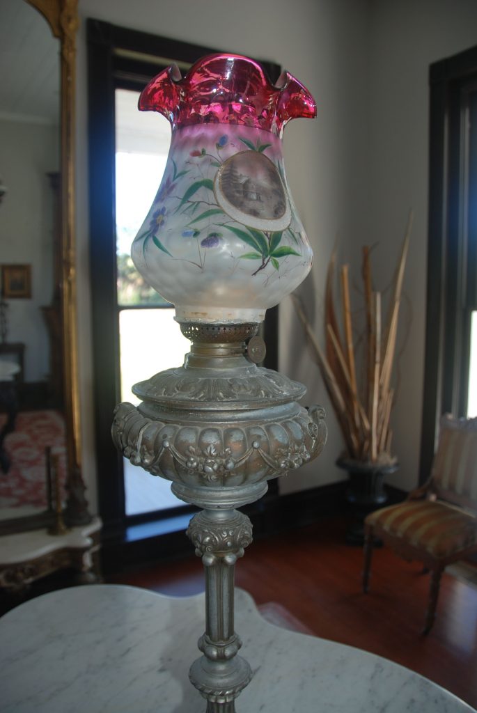
Although the lamp shown below has a cord, it was much later before electricity arrived and lamps like this were used in the plantation house.

Antique umbrella holder
Antique lamp and table

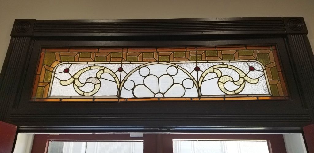
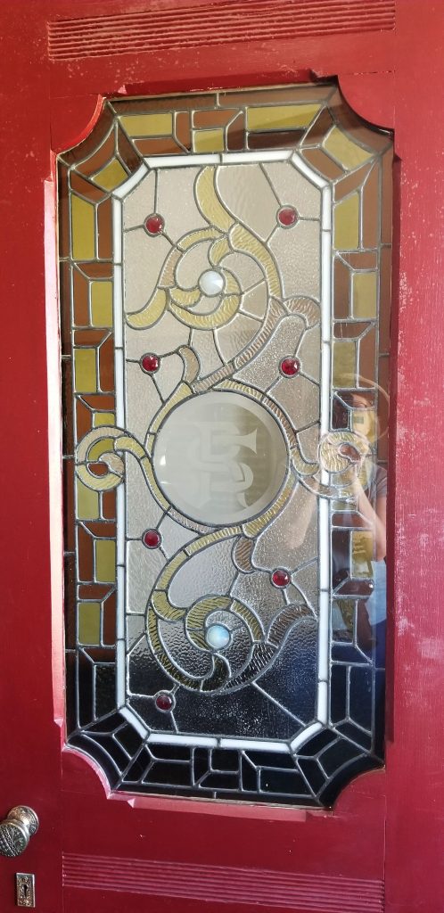
In addition to the antique furnishings were these beautiful stained glass windows and doors.

Antique stained glass transom
Antique stained glass door

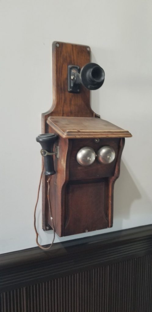
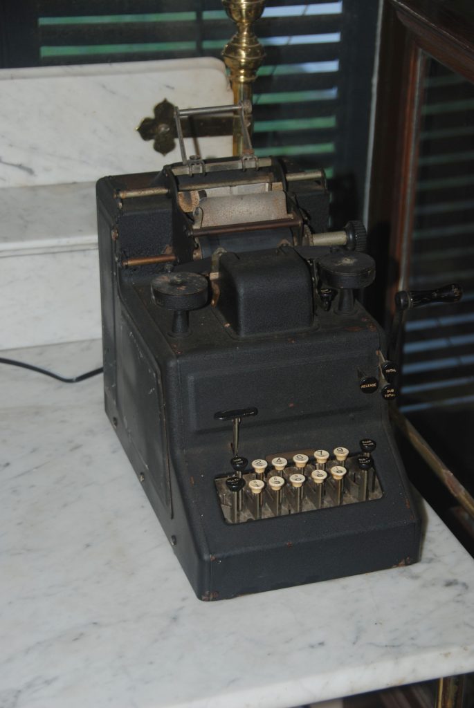
Other items that interested me were an old telephone and calculator. The first telephone exchange didn’t develop until the early 1900’s and in 1913 the city complained that “the telephone service rendered for several weeks has been totally inadequate and demoralized for several weeks, and no improvement in sight.”

Antique wall telephone
Antique adding machine

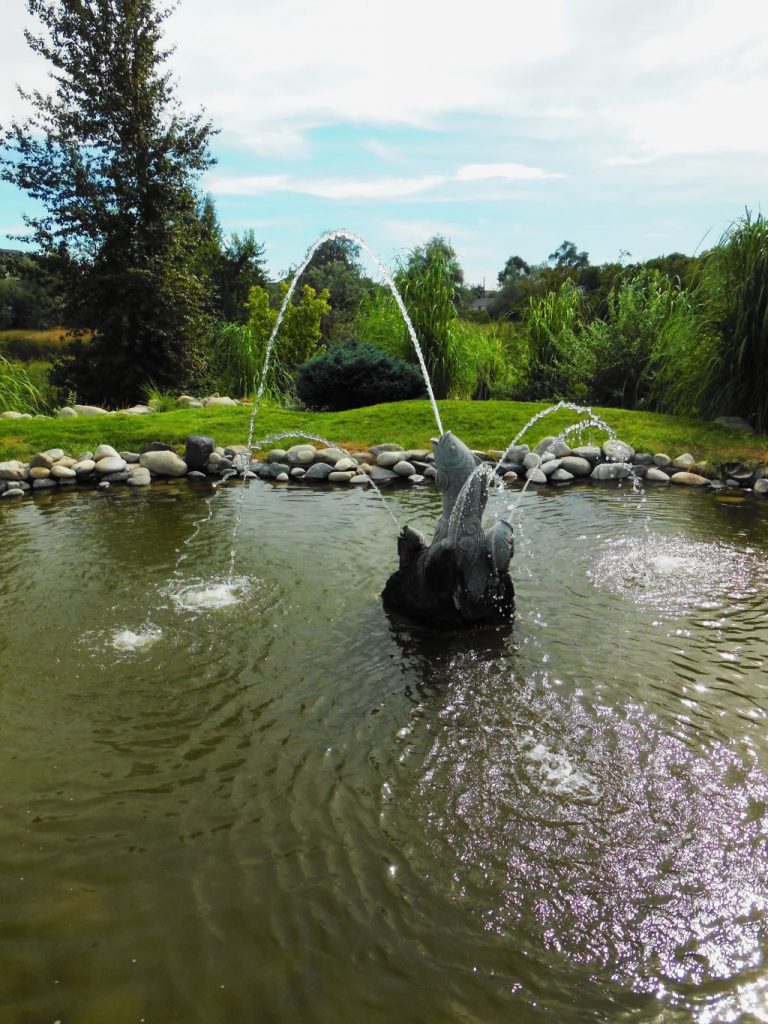
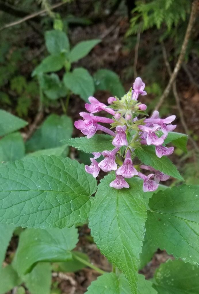
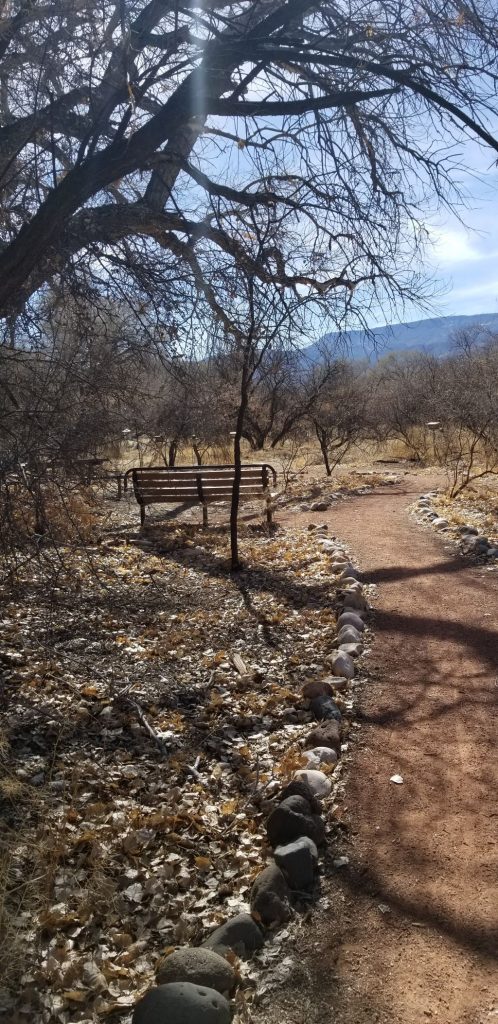
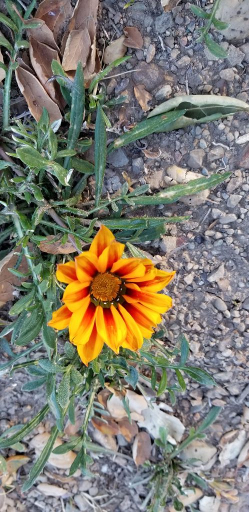
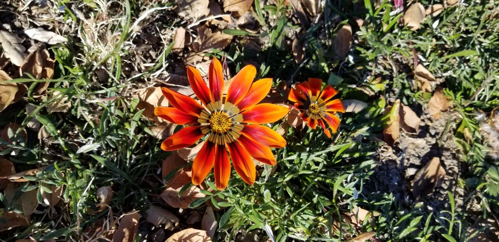
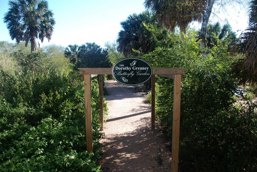
After touring the plantation house, we made our way through the garden. It was winter, so the flowers and many other plants were dormant. I could imagine what it looked like in spring and summer with butterflies fluttering around the fragrant flowers.

Lily Pond in Butterfly Garden
Plantation House reflected in lily pond
Footbridge over lily pond

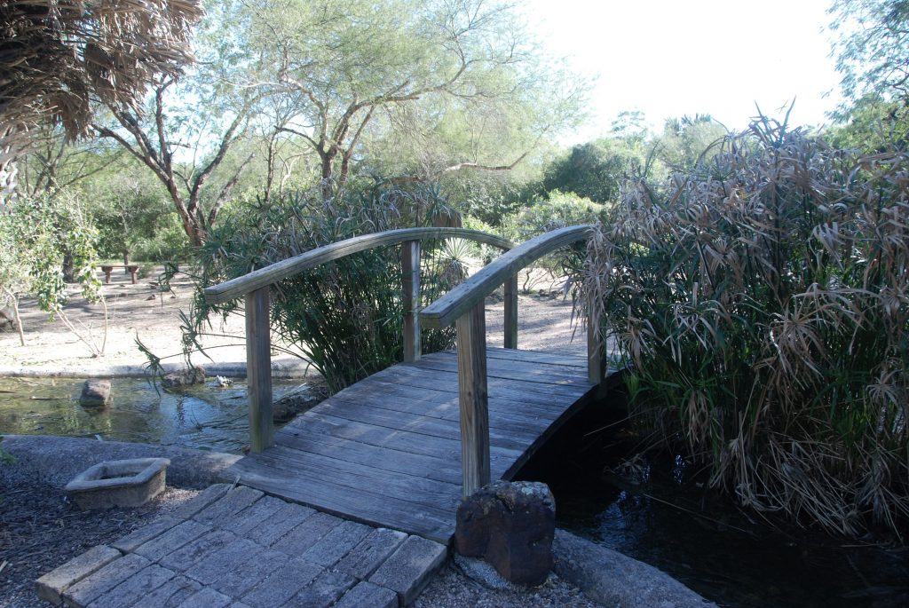
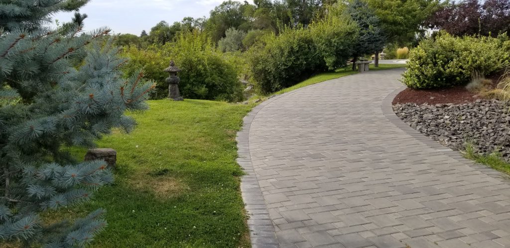
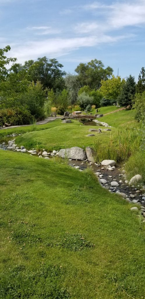
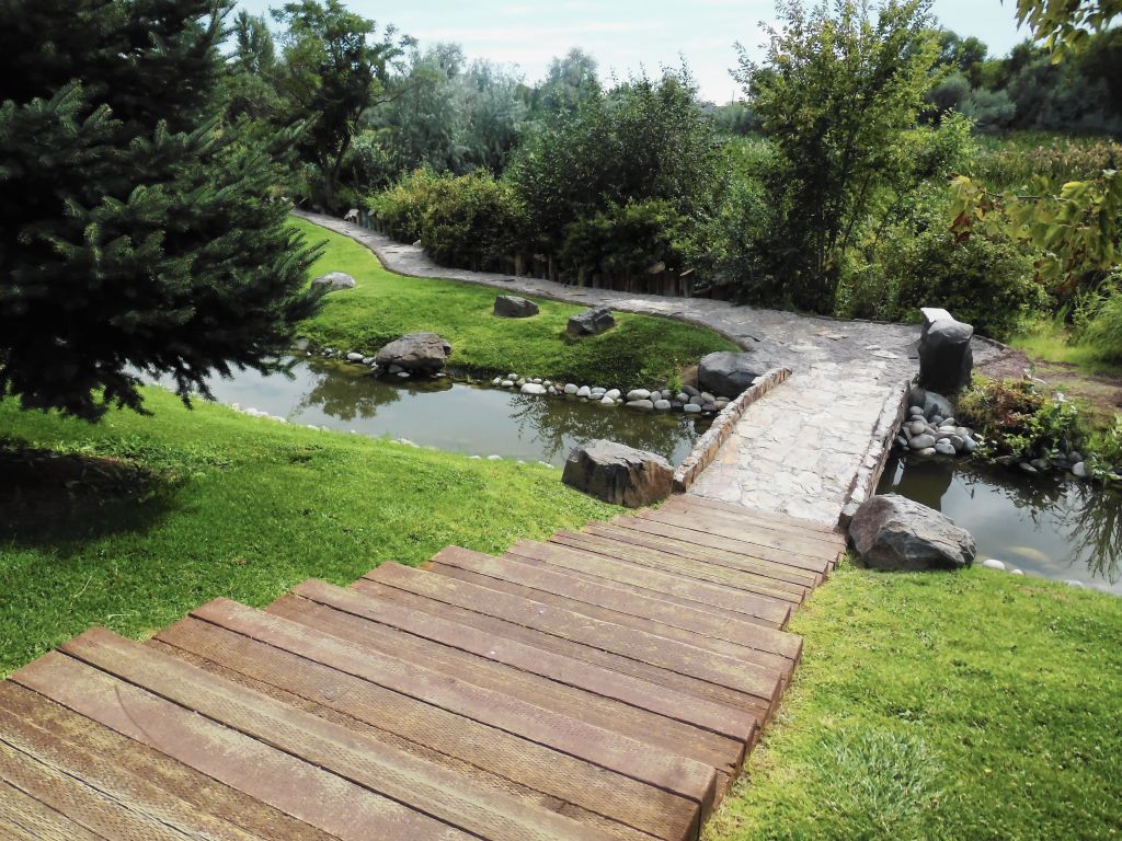
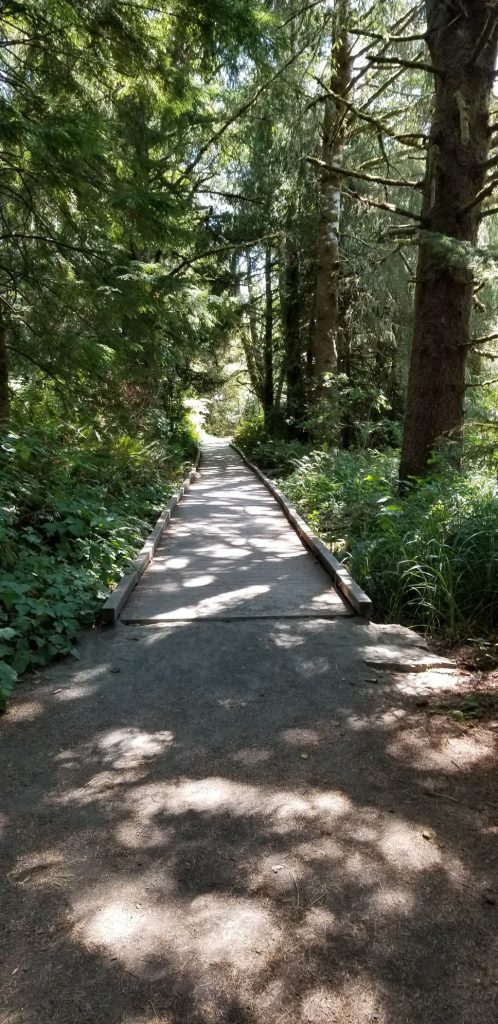
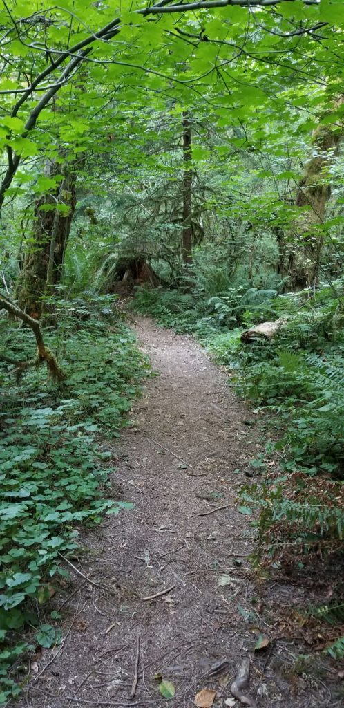
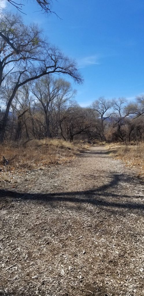
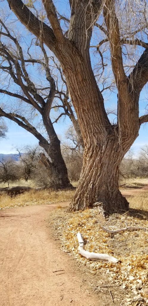
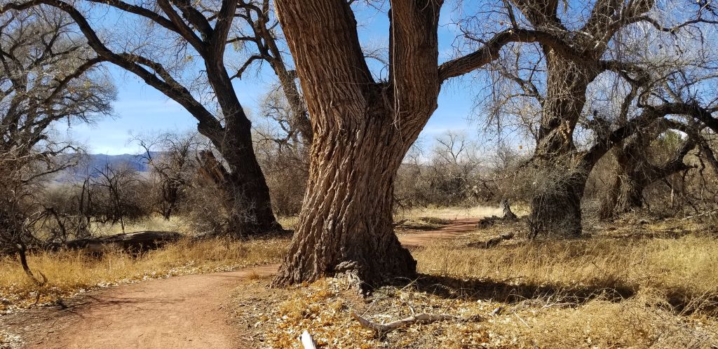
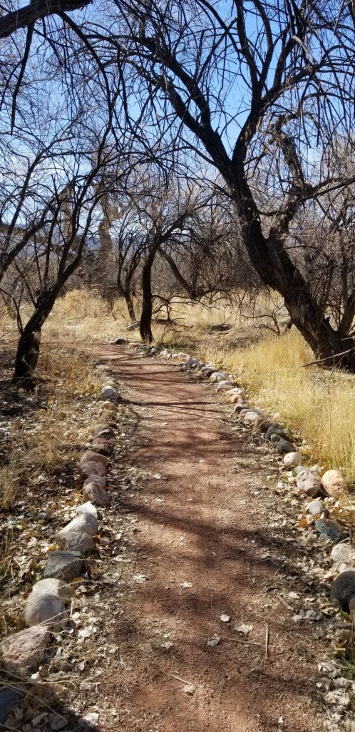
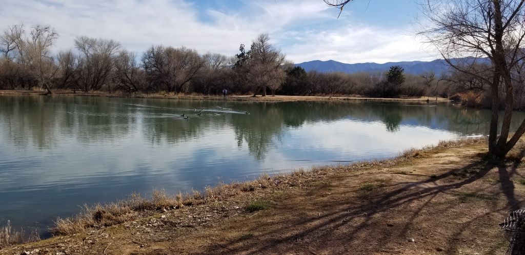
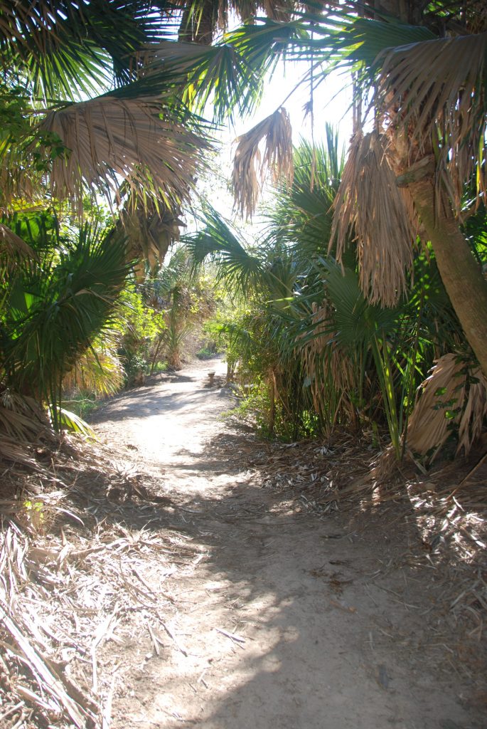
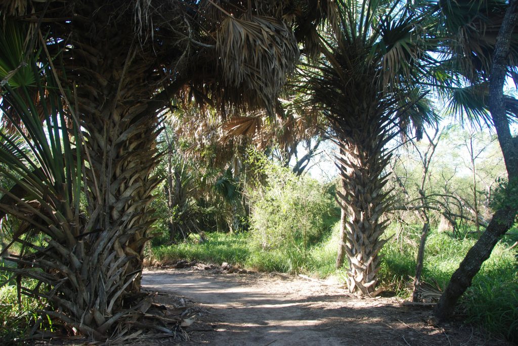
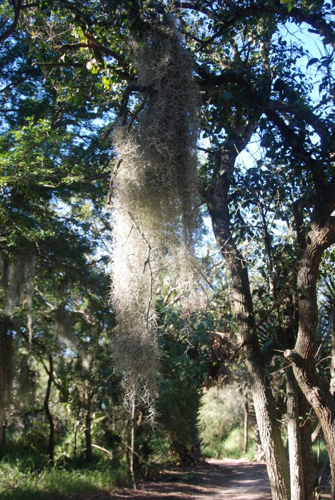
Past the garden were the walking paths lined with palms. The Sabal Palm Sanctuary protects one of the rarest ecosystems in the United States. The Sabal Palm Forest once covered 60,000 acres along the banks of the Rio Grande River. When the Spaniards first explored the river, they found miles upon miles of dense palm forest. Today, less than 30 acres of the Sabal forest are left, some of which are protected by the Sanctuary. Today, much of the Rio Grande Valley is mostly agricultural.

Pathway through Sabal palms

Previously, the land in the Rio Grande Valley was used for raising cattle. The soil was too dry for crops until 1910 when irrigation and centrifugal pumps came along. By 1910, there were 50 steam-engine pump houses along the Rio Grande River that watered one million acres of farmland.

Spanish Moss
We walked on this walkway where Rio Grande River used to flow.
The pathway eventually led us back to the Plantation House.

When I visit historical places like this, I imagine what life would be in those times. One thing that I’m thankful for today is that we have air conditioning. Those summers in the RGV would have been stifling in the humidity and the heat!

South Dakota Sights

Whenever I think of South Dakota, I think of a flat wide expanse of endless prairie, a picture I got in my mind from reading the Little House books. But when we arrived in South Dakota we found beautiful forested mountains with pretty green meadows spaced in between the hills. Western South Dakota in the Black Hills region is a region of surprising beauty. Tucked away in these hills is the iconic Mount Rushmore. (See my blog on Mount Rushmore)

The Black Hills of South Dakota

In the Black Hills region are other interesting places to explore. One of the places I wanted to see was the Crazy Horse Memorial. This is a privately-owned memorial to Crazy Horse, a leader of the Lakota Sioux Indians. The sculptor, Korczak Ziolkowski, who dedicated his life to carving this memorial, is now deceased and his descendants have taken on the project.

I had mixed feelings about Crazy Horse Monument. For one thing, after 71 years, it is far from being completed. In contrast, Mount Rushmore was finished in only 14 years. Some reasons for the delay are said to be the weather, tourists, the size of the project and lack of funds. Critics say it has become a money making project for enriching the sculptor’s family. I can’t say for sure that is true, but I was disappointed. It does seem like the 40,000 square foot Visitor’s Center has taken over the central focus instead of the rock carving.

Below is a prototype carving of what the mountain will look like when finished. It’s sad to think I might never see it completed in my lifetime.

The outline of the horse’s head on the mountain yet to be carved.

We wandered around the huge visitor center for nearly an hour. It seemed like we were rushing through it just to be able to see it all. The buildings also house The Indian Museum of North America which houses a large collection of art and artifacts showing the histories and cultures of over 300 native nations. One impressive exhibit was this Navajo Indian rug.

Huge handmade Navajo rug

Other items in the museum showcase the artist’s talent such as this carving of Henry Standing Bear, a cousin of Crazy Horse. He was the one who found the artist Korczak Ziolkowski for the Crazy Horse project.

Henry Standing Bear

Many Indian handcrafted items were on display. This beautifully crafted pine quill basket caught my attention.

Pine quill basket

Having taken a pottery class, I’m always fascinated by handmade pottery. These look like they were from a wood-fired kiln or pit.

Other exhibits were this highly decorated horse outfit and the hand-crafted canoe pictured below.

Horse and saddle in museum

Hand crafted canoe

It was irresistible to get a photo of a buffalo up close like this. It was easy to see why the Indians liked the buffalo hides for keeping them warm in the cold winters.

Bison or buffalo

The artist Korczak Ziolkowski, and his wife had 10 children. They must have been a musical family as there were many musical instruments from their home on display in the museum.

We stopped to eat dinner in the nearby town of Custer where a painted buffalo caught my eye. Since it was late in the year, many places were already closed for the winter. We found a Pizza Hut and I ordered chicken wings. They were really good!

Another day we drove to Wind Cave National Park and took a tour into the cave. The cave is so named because as the air pressure changes on the outside, the air blows in or out of the cave to maintain equal pressure. Two brothers discovered the cave when they heard wind blowing out of a hole in the ground. When one leaned in to get a better look, his hat blew off his head.

Wind Cave is the second longest and most complex cave in the world. Only a small part has been explored. It is home to “boxwork”, a unique formation found only in this cave.

One of the stories our guide told us about was in the early history of the cave tours, there was a guide that led tourists down into the cave with a lantern. If he saw a passage that he wanted to explore, he would leave his guests in the dark and go exploring, sometimes leaving them there in the dark for hours before returning. I can’t imagine being left in pitch dark for hours not knowing for sure if the guide would ever return!

Boxwork in Wind Cave NP

Above ground we saw prairie dogs, bison and park-like prairie grasslands and hillsides with forests. I pondered if this would be a nice place to live someday–but then I thought about the cold winters. Hm. Probably not.

Crescent Bar

Quincy, Washington

August, 2021

As we were making our way across Washington, we stopped for a couple of nights in Silver Creek, and then went on to on to Crescent Bar which is outside Quincy, Washington. From Silver Creek to Quincy was 213 miles–a longer drive than usual for us, as we try to keep it to 3 hours or less.

View from Paradise RV Campground in Silver Creek, WA.

From Silver Creek, we drove Highway 12 through the most beautiful country. High mountains lined either side as we drove through thickly wooded forest with an occasional small town. The primary industry is lumber. We passed some sawmills with stacks of 2×4’s and other sizes of lumber. We were very near Mt. Rainer, but we couldn’t see it because of the mountains that blocked our view.

As we went further east, the terrain became dryer and the land changed to hay farms, dairies, apple orchards and Christmas tree farms all watered by irrigation. Our campground was on a cliff overlooking the Columbia River. The Columbia river makes a huge bend in the shape of a crescent. It is probably a mile or more across. There were mountains on the other side that made a beautiful background for sunsets. It was, however, very smokey when we got there. But later, a windy day and some rain cleared the sky.

Crescent Bar on the Columbia River

Crescent Bar on the Columbia River, Washington
Columbia River, Washington

Japanese Peace Garden, Moses Lake, WA

We took a drive to Moses Lake, a town about 40 miles away, to see the Japanese Peace Garden. I couldn’t find any information about its history, who created it or why. It would have been a nice quiet place to enjoy if it hadn’t been so hot. We walked through quickly and got back into the car to cool off.

Entry into Japanese Peace Garden, Moses Lake, WA
Japanese Peace Garden, Moses Lake, WA
Waterfall

The brook winds through the Peace Garden
Fountain at Japanese Peace Garden
Koi and goldfish swim below bridge
Koi Pond

Another side trip we took while in Quincy, Washington, was a trip to Grand Coulee Dam about 75 miles away. The drive there was along a canyon with the Grand Coulee lake beside the road.

One of the scenic spots along the way was Dry Falls Visitor Center. The Visitor Center was closed, but the view of the dry falls was worth taking a photo. This area was once a huge waterfall when water broke through a glacial ice dam. The lake behind the dam was approximately the volume of Lake Ontario. The waterfall would have been 5 times the width of Niagara Falls and twice the height. Today, the falls are dry, hence the name.

Dry Falls, Montana

Grand Coulee Dam, Washington

We got to Grand Coulee Dam just before sunset. After dark, there is a laser light show that tells the story of the dam and the surrounding area.

Grand Coulee Dam
Sunset on Grand Coulee Dam

After dark, the spillway gates open and start spilling water until all the gates are completely spilling, creating a backdrop for the light show. Here they are before they start to spill.

Spillway for Grand Coulee Dam.
The lights come on at Grand Coulee Dam.

I was unable to capture photos of the light show. I got some short videos, but they really don’t do it justice. Even though we arrived home late that night after the light show, it was an interesting side trip worth the time.

Washington Lighthouses

July 29, 2021

We drove across the famous Astoria- Megler Bridge in Astoria, Oregon. The bridge is a feat of engineering and quite impressive. The bridge is over 4 miles long and crosses the mouth of the Columbia River connecting Oregon and Washington on Highway 101. The ramp to the bridge steadily gains in elevation in a 360 curve. At the Oregon side, it is 200′ from the river below, allowing large ships access to travel up the Columbia River.

Astoria-Megar Bridge, Astoria, Oregon on Highway 101.

We drove to Cape Disappointment State Park in Washington state where we ate a picnic lunch. The beach was lined with a barrier of fallen trees. It is my guess that they were put there to protect the park from the tremendous breakers during bad weather. In the distance is Cape Disappointment Lighthouse.

Cape Disappointment Lighthouse, Washington.
Cape Disappointment Lighthouse, Washington

Cape Disappointment was named so because Captain John Meares was unable to find the mouth of the Columbia River while sailing south in search of trade. He mistook it to be a large bay and was prevented from entering because of a large shallow shoal.

Looking back at Cape Disappointment State Park and beach in Washington.

We drove a short ways to The Lewis and Clark Interpretive Center. Although we did not pay to see the museum, there were exhibits in the lobby that were free to view.

Lewis and Clark Interpretive Center, Washington.

One exhibit was a first-order Fresnel Lens that was meant for the lighthouse. However, the lens was too big, so another one had to be ordered.

Fresnel Lens at Lewis and Clark Interpretive Center

Another display showed several lighthouses on the Oregon and Washington coast and their identifying light flashes.

Display at Lewis and Clark Interpretive Center, Cape Disappointment, Washington.

From the Lewis and Clark Interpretive Center, we had a better view of the lighthouse.

Cape Disappointment Lighthouse, Washington.

From there, we drove a short ways to see the North Head Lighthouse. North Head Lighthouse was built because ships approaching from the north could not see the lighthouse at Cape Disappointment.

Pathway to North Head Lighthouse.

I nearly missed getting a photo because of the fog that was blowing in. Cape Disappointment is one of the foggiest places in the U.S.

North Head Lighthouse, Washington
North Head Lighthouse keeper’s quarters.

I felt satisfied that we had seen as many lighthouses on the Oregon and Washington coast as we could during the time we were in Seaside, Oregon. We saw some beautiful scenery, we enjoyed the cool weather, and we feel sure we will be back.

A Museum and a National Historical Park

July, 2021

Columbia River Maritime Museum

While we were staying in Seaside, Oregon, we went to The Columbia River Maritime Museum in Astoria, Oregon. As we entered the museum, we saw a large map of the shipwrecks at the mouth of the Columbia River.

Map of shipwrecks in the “Graveyard of the Pacific”, Columbia River Maritime Museum.

We watched a 3D surround sound documentary of “Aircraft Carrier–City at Sea” in the Theater. Then we wandered around the exhibits and learned about the extreme conditions of the Columbia River Bar, the U.S. Coast Guard and the Columbia River Bar Pilots.

U.S. Coast Guard Rescue display at Columbia River Maritime Museum.
Display in Columbia River Maritime Museum.

The museum tells the history of the Columbia River from the times of the Indians and their dugout canoes to the present day. The museum is very expansive and takes 2 or 3 hours to see everything. We took a break for lunch and walked across the street to a food truck to get lunch and then came back to see more.

Outside the museum is docked the Lightship Columbia, a National Historic Landmark. It is an actual lightship that used to guide ships to safety at the mouth of the Columbia River. I was able to go aboard and see the sailors living quarters. The lightship is a floating lighthouse manned by a crew of 17 men working two to four week rotations, with 10 men on duty at a time. It was in use from 1951 to 1979.

The Columbia Lightship–part of The Columbia River Maritime Museum.

We learned at the museum that ships today must have a specially trained pilot to guide them through the mouth of the Columbia River where it meets the Pacific Ocean. This pilot will come aboard their ship and guide the ships through the treacherous waters and sand bars at the mouth of the river. We saw several large cargo ships waiting their turn.

Cargo ships on Columbia River await their turn to go through the dangerous waters at the mouth of the Columbia River.

Lewis and Clark Natl. Historical Pk.

Lewis and Clark have always been two of my favorite explorers ever since I read “Streams to the River, River to the Sea” by Scott O’Dell. The story of their amazing adventure is told in part at the Lewis and Clark National Historical Park near Astoria, Oregon, off Highway 101. Besides having another national park to check off of our list, it gave us a day of learning about the history of our country and some exercise as we hiked the trails near the visitor center.

We stopped at the Visitor Center where we saw a short film about the story of the winter fort of the Lewis and Clark Expedition in1805 – 1806. They named it Fort Clatsop after the nation of Indians who resided nearby.

Replica of Fort Clatsop, the winter fort of the Lewis and Clark Expedition.
Inside Fort Clatsop
Sleeping quarters inside Fort Clatsop.
Room inside Fort Clatsop

At the fort we watched a demonstration of the loading and shooting of a black powder rifle.

We walked down a pathway to the place on the river where Lewis and Clark could possibly have docked their dugout canoes.

Pathway to river access.
Boardwalk to river.
River access.

Lewis and Clark National Historical Park actually has several different site locations. Many of the other sites are only minutes away. We decided save some of those different locations for another visit at another time. In all, we had an enjoyable day visiting this park.

Seaside, Oregon

It was just a short drive north on Highway 101 from South Beach to Seaside, Oregon, where we stayed in another Thousand Trails RV Resort called Seaside RV Resort. We had to backtrack south to see the Tillamook Lighthouse which is not really near Tillamook. It was really only a few miles south of Seaside, Oregon.

The Tillamook Lighthouse is on an island. It was quite windy and hazy making it hard to get a good photo.

Tillamook Lighthouse, Tillamook, Oregon

The view from the Tillamook lookout was beautiful. If you look carefully, you can see Haystack Rock.

Scene from Tillamook Lighthouse viewpoint.

In this closer view Haystack Rock is in the distance. Later, we drove to Canon Beach where I got a closer look. Haystack Rock is home to many birds who make their nest in the nooks and crannies of the rock, even burrowing into the dirt to make their nests.

Haystack Rock in the distance at Canon Beach, Oregon.
Haystack Rock

When the tide is out, many people like to explore the tide pools around the rock.

Haystack Rock

A long drive south to Tillamook took us closer to Cape Meares Lighthouse. The road there is very narrow and windy, but we finally found the end.

There are two pathways to the lighthouse. It was windy and very misty. We opted for the pathway through the trees. The air was so moist, the trees “rained” on us as the moisture collected on the leaves and foliage.

Pathway to Cape Meares Lighthouse.
Cape Meares Lighthouse

Although Cape Meares Lighthouse is the shortest lighthouse on the Oregon Coast, it put out a powerful beam that could be seen twelve miles out at sea. Each lighthouse had its own signature beam of light. Cape Meares was 30 seconds of fixed white light from the primary lens followed by a red flash of five seconds from the bull’s-eye lens once every minute.

Cape Meares Lighthouse
Cape Meares Lighthouse information booth.

The photo below shows the nine historic lighthouses on the Oregon Coast and whether they are still active.

With the cold windy weather, we were glad to get back to our truck to get warm.

Mount Hood, Oregon

July, 2021

On our way to the coast of Oregon, we stayed in Baker City, Oregon; Kennewick, Washington; and Welches, Oregon (Mount Hood area).

From Kennewick, Washington, we drove along the Columbia River on Highway 14. There is a highway on the Oregon side also, but we preferred the less traveled two lane road along the Washington side of the river.

The Columbia River looking toward the Oregon side from Highway 14.

The bare hills and steep canyon walls were impressive. The dry barrenness gave way to trees and greenery as we approached the coastal rain belt. At one point we rounded a bend and in the distance loomed Mount Hood, snow capped and majestic. I’ve seen plenty of mountains, but there is no way to describe this huge mountain that juts up out of nowhere capped with snow in the middle of July. It’s just epic!

Mt Hood from Oregon Highway 35.

We stayed in one of our Thousand Trails Campgrounds in Welches, Oregon, a little town on the southwest side of Mount Hood. Our campsite was among the trees and lush vegetation. Beautiful ferns were everywhere in between campsites. We were grateful for the tree cover since the temperatures were unusually high–up into the 100’s for a few days.

Our campsite in Welches, Oregon.
Ferns grew everywhere in abundance.

Wildflowers and berry bushes were everywhere.

Foxgloves grow among the trees.

In the evenings, we liked to take walks. One evening we followed a path among the trees.

This path invited us to explore it.

About 15 miles from our campground was Lake Trillium. The first time we went to see the lake, it was crowded with people swimming, fishing, and kayaking. I got a few photos, but the sky was hazy, and the water was choppy, so we decided to go back another time. The second time, we went on a weekday evening right before sunset and had better results.

Mount Hood in evening light.

We found a pathway around the lake.

Walkway around lake.

We even saw a mother duck and ducklings.

Mother duck and her ducklings at Trillium Lake
The lake is calmer and the reflection of the mountain is nice.
This is my favorite photo from that evening.

We enjoyed our stay in the Mount Hood area, but it was time to head to the coast for some cooler weather.

Arizona, Texas and California

March, April and May 2021

While we were in the Cottonwood area, we visited a few other places nearby. Jerome, 9 miles away, is a ghost town that has come back to life. It is now a tourist trap. Jerome State Historic Park is worth visiting.

The “ghost town” of Jerome is coming alive once more.

We drove the windy road through Jerome to Prescott, Arizona, where I spent one summer of my life as a kitchen helper at Prescott Pines Campground. The campground is a few miles outside of town. In many ways it looked the same, just updated.

The chapel at Prescott Pines Campground where I worked as kitchen staff in 1972.

While we were in Cottonwood, we flew to Texas for a week-long stay with my dad while my sister was on vacation. We visited Round Rock, Texas, a pretty little town and the home of the beautiful historic Woodbine Mansion which is now a wedding venue.

Round Rock, Texas, main street.
Woodbine Mansion in Round Rock, Texas

Another day, we visited the Texas Military Museum in Austin. It was large, so we saw just a small portion of it. We plan to visit it again someday.

Texas Military Museum

When we got back to Cottonwood, it was time to head back to California for the birth of our 10th grandchild. We used our Harvest Host membership for the first time and stayed overnight in the parking lot of Peggy Sue’s 50’s Diner about 10 miles from Barstow, California.

Inside gift shop at Peggy Sue’s 50s Diner

We stayed at our Thousand Trails Encore park in Oceano until our grandchild was born, helping the family with meals and laundry and other such things. Getting to be around the grandkids is always fun, but we made sure we took time for a side trip to Morro Bay for a lunch near the water.

Morro Bay, CA, marina

With the new baby welcomed, we made one last visit to our storage unit before heading north for our summer travels. The campground where we like to stay is in Oakhurst, CA. There is a beautiful little waterfall and wildflowers just behind the campsites and plenty of shade.

Our waterfall at Oakhurst, CA.
Wildflowers at Oakhurst, CA.
Our campsite at Oakhurst, CA.

Cottonwood, Arizona

February, 2021

We probably moved too soon to Cottonwood, Arizona, in mid-February. The elevation of Cottonwood is 2,000 feet higher than the Phoenix area. The first couple of nights the pipes froze that supplied our water. After that, we left the water dripping during the night. The days were warm and pleasant, however.

DEAD HORSE RANCH STATE PARK

We took a day trip to Dead Horse Ranch State Park. There is a story about how it got its name. Calvin Ireys bought the ranch in 1950. The first time the family looked at the ranch to purchase, they saw a dead horse lying in a field. After buying the property, they named it Dead Horse Ranch. In 1971, Ireys sold the ranch to the state for a state park. Today the park is 423 acres with 10 miles of hiking trails, 150 campground sites and several picnic areas.

We took a walk on the “Canopy” trail which is just a quarter of a mile long.

Canopy Trail Dead Horse Ranch State Park
Canopy Trail
Canopy Trail
Canopy trail to bird feeders

We sat on a bench and watched the birds at the bird feeders.

Canopy trail
Bird feeder at Canopy Trail

Later we took a short hike down this trail by the Verde River.

Trail to Verde River, Dead Horse Ranch State Park
Verde River

“Verde” means “green” in Spanish, and it is green! The cottonwood trees that surround the river on both sides were dormant. In spring or summer, they would be a brilliant lush green.

Verde River

We saw some horseback riders.

Dead Horse Ranch State Park

Later we drove around the park and found the “West Lagoon”. I got out to take some photos and walked on the pathway that goes completely around the lagoon. (about .7 miles)

Lagoon at Dead Horse Ranch State Park

The lagoon was home to much wildlife.

We got some exercise and enjoyed the scenery and wildlife. It would be nice to see the Cottonwood trees (which the town is named after) in spring and summer when they have their full foliage. It’s a bright green, which gives another reason for the name Verde Valley. The entire valley is a green oasis in the desert, surrounded by red rock rimmed mountains. It’s a place to see!

The Airstream reflects the evening sunset in Cottonwood, AZ.

Santa Barbara, California

January, 2021

During November and December, we enjoyed spending the holidays with our kids and grandkids. In January as we were headed out of California again to spend the rest of the winter months in Arizona, disaster struck.

California has bio-diesel at a much cheaper price than Diesel #2. We thought we were saving money. Now we know better. Apparently, our truck has a unique fuel pump that can’t handle bio-diesel. It failed and all the metal parts were distributed throughout its fuel system. Three weeks and thousands of dollars later, we were wiser but poorer. Thankfully, we were able to spend those three weeks in a nice campground near Santa Barbara while the truck was being repaired.

The hills outside Santa Barbara, California.

We were surrounded by mountains, and the hills were beautiful in the evening light.

The campground was a working ranch with horses a plenty. I took the opportunity to get acquainted with some of the equine one afternoon.

Rancho Osa outside Santa Barbara, California, is a working ranch.

Our main concern was not being able to shop for groceries. Although there was a country store on the campground, the selection was very limited, especially when it came to fresh food and meat. After a couple of weeks, our supplies were very low. Our daughter, Ann, rescued us by driving there and taking us grocery shopping one afternoon in Santa Barbara. We were very grateful.

Because of the pandemic, auto parts were delayed in coming. We had a great mechanic, and the park rangers were very helpful in extending our stay. The hardest part of being stuck there for three weeks, was the lack of communication. The campground was in a canyon. We had to walk to another part of the campground to get enough phone signal to make a phone call.

One way to spend time while we were waiting for our truck to be repaired was to take walks in the afternoon or evening discovering the beauty around us.

Prickly pear cactus
Bloom where you’re planted!

We were so grateful to have our truck back, and in the future, we would love to explore this area more.