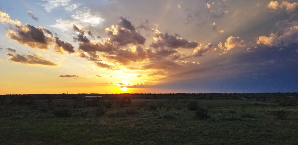
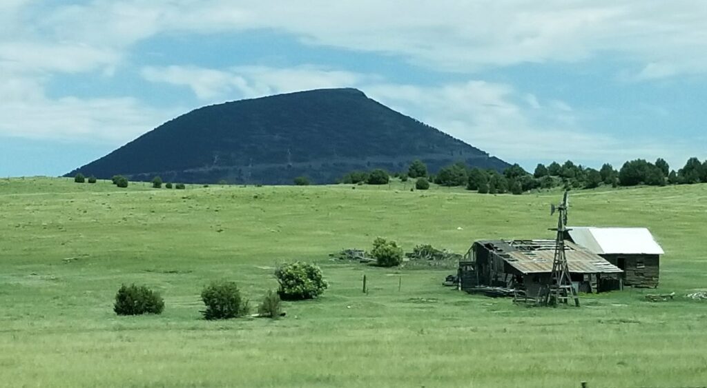
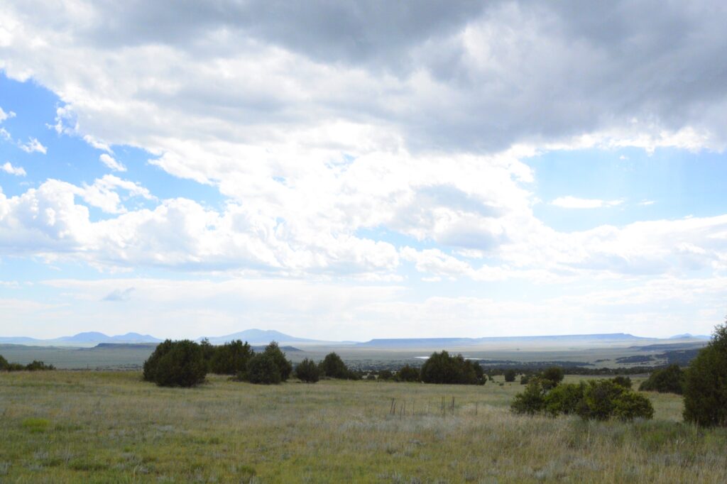
Our path to Colorado took us across the northeastern corner of New Mexico. Everything was green and beautiful. As we passed Capulin Volcano National Monument, I took a photo out the window. I thought maybe someday we would be able to visit there. Little did I know that day would come sooner than expected.
Not many miles past the volcano, our truck sounded a warning. A service engine light came on with a message that the truck fuel exhaust system needed cleaning. “Keep driving,” it said. Then it reduced the power and went into limp mode. It was especially slow going uphill. There was nothing we could do. It gave us seven warning messages. It seemed like our truck had major problems. That’s a scary thing when you’re pulling a trailer and there’s a mountain pass between you and your destination.
We stopped in the nearest town, Raton, New Mexico, where Ray got a bottle of fuel cleaner to add to the fuel tank. To make a long story short, we got a campsite in the KOA park there and made an appointment with a diesel mechanic the soonest we could get, which was five days from then.
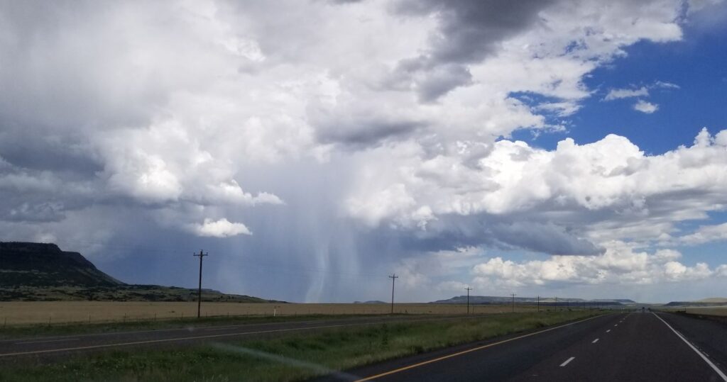
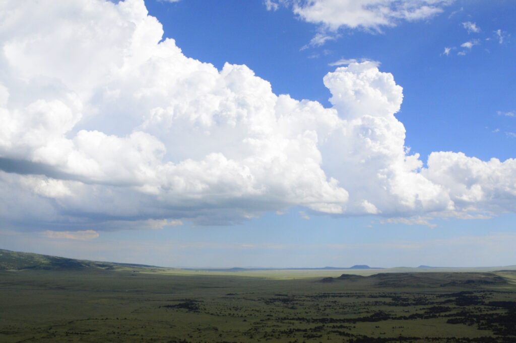
In the meantime, we needed to drive the truck to get the fuel cleaner throughout the system. We decided to drive back to see the Capulin Volcano National Monument that very same day. On the way, we saw a rainstorm about to cross our pathway.
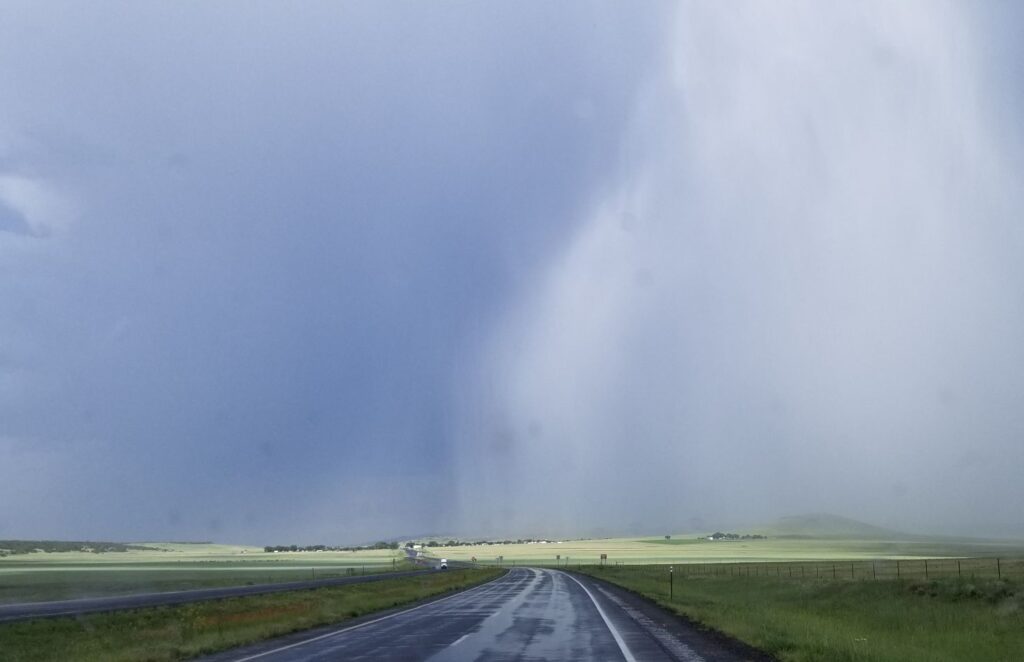
Most of it blew across the road before we got there, but we got a real truck wash for a few minutes.
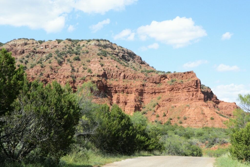
The national monument was only a few miles off the main road. The drive through the countryside was beautiful, especially after the rain.
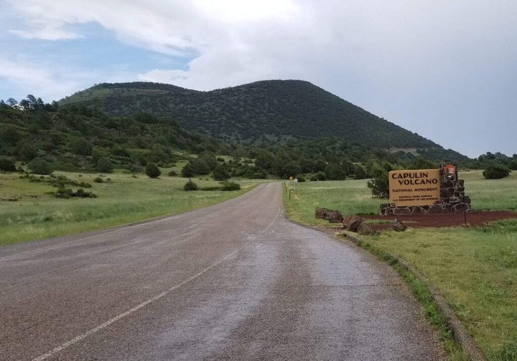
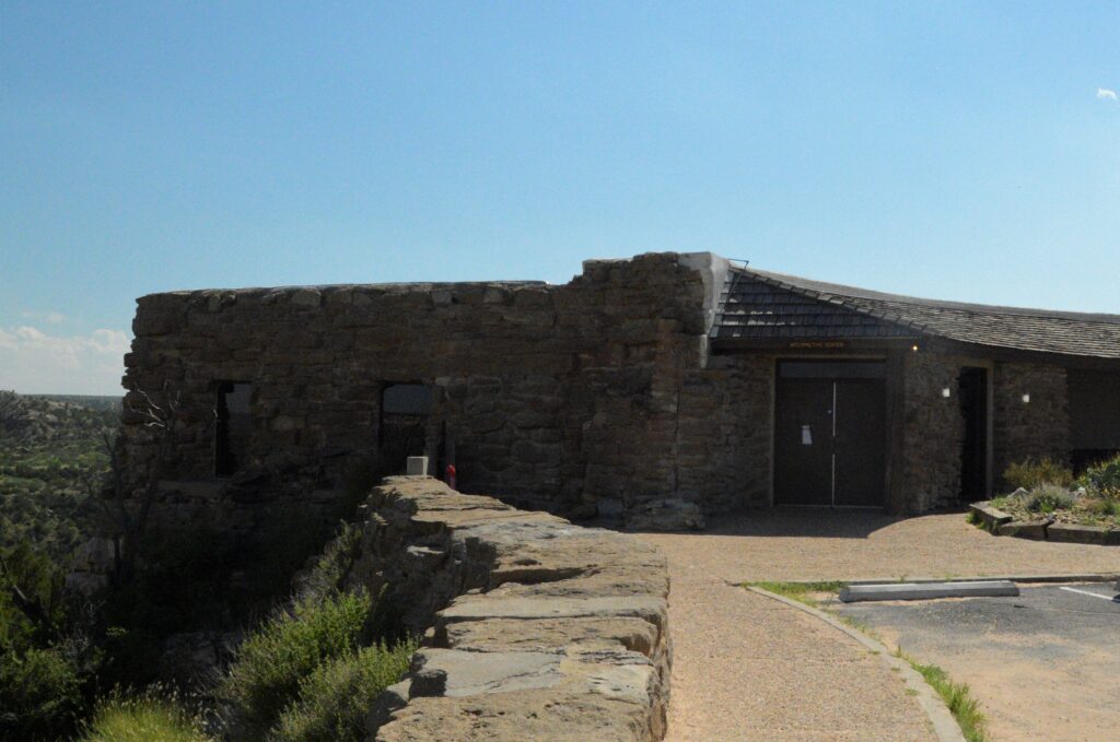
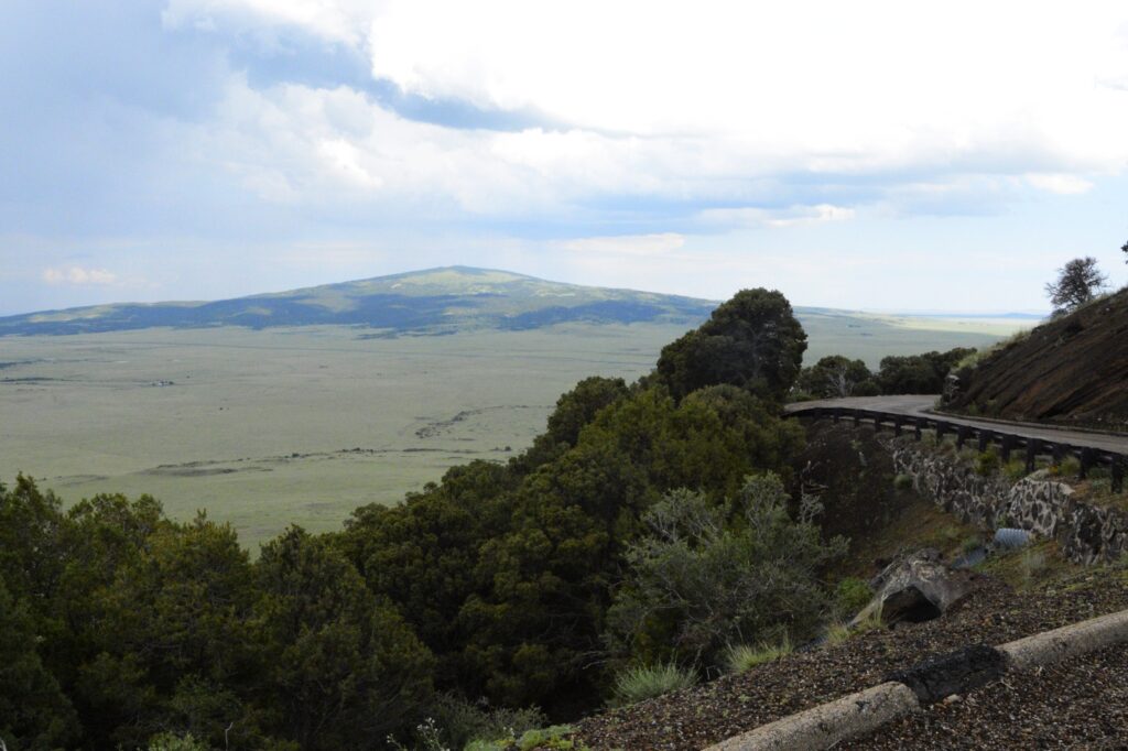
We stopped at the Visitors’ Center before we drove up the road to the top of the volcano. The road curves around the volcano as it climbs to the top. The views were really something.
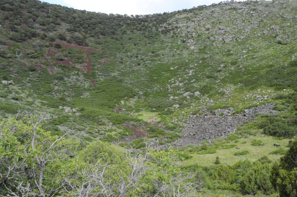
At the top of the volcano was a parking lot. From the parking lot, there was a trail that went around the top of the crater and down to the bottom. We did not attempt that. It was a long ways down. If you look carefully, you might be able to see people at the bottom of the crater.
The crater was covered in vegetation, which surprised me. I was expecting bare rocks. I think that means this volcano has been extinct for a very long time.
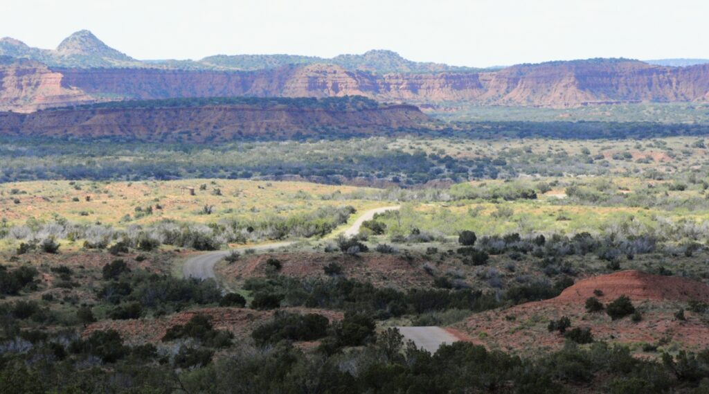
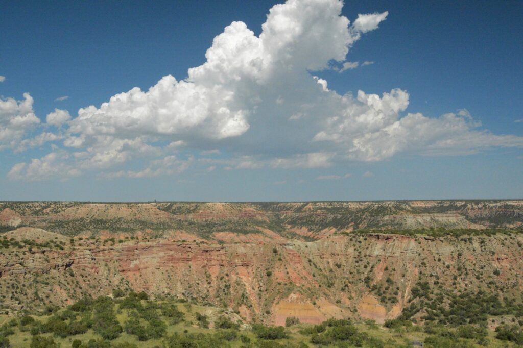
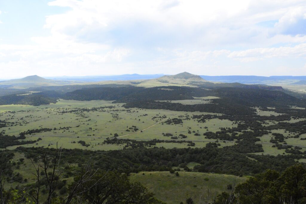
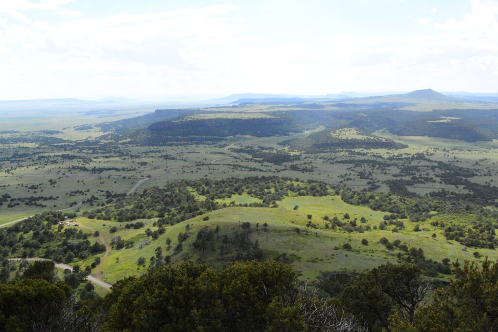
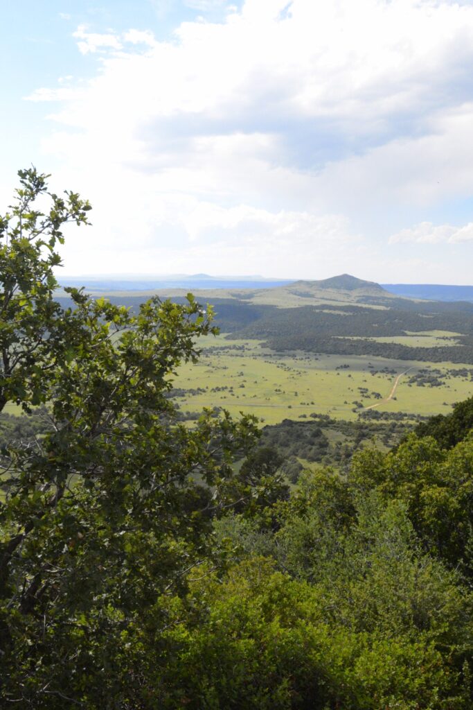
Here are a few more views from the top of the volcano. The elevation at the top was 7,877′.
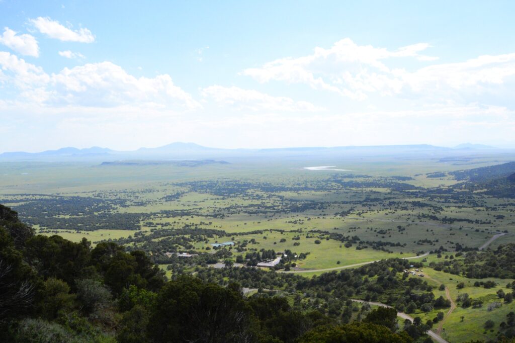
The flat top mountains are ancient lava flows. The peaks are other cinder cones, shield volcanoes and volcanic domes.
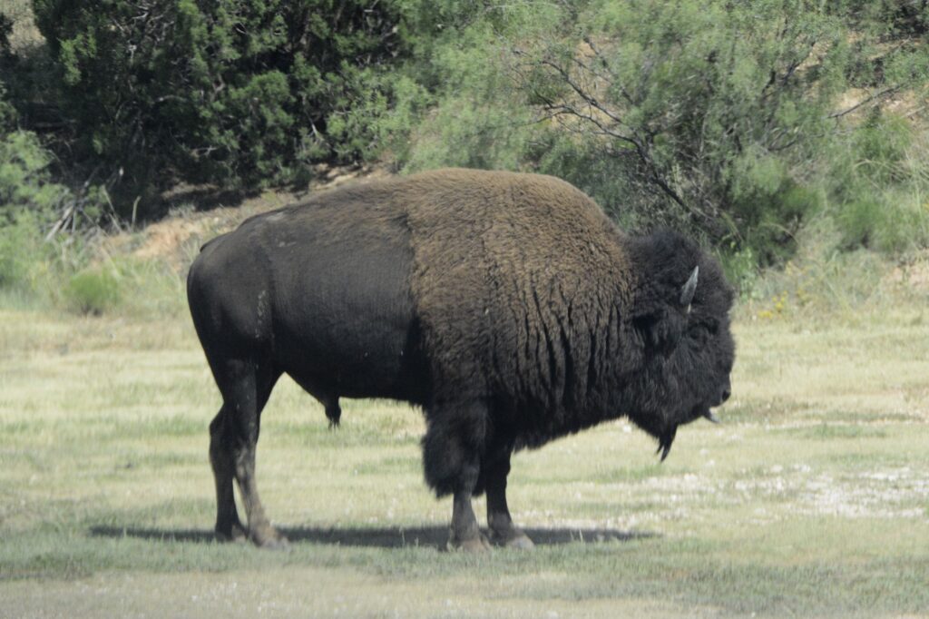
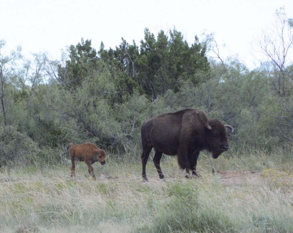
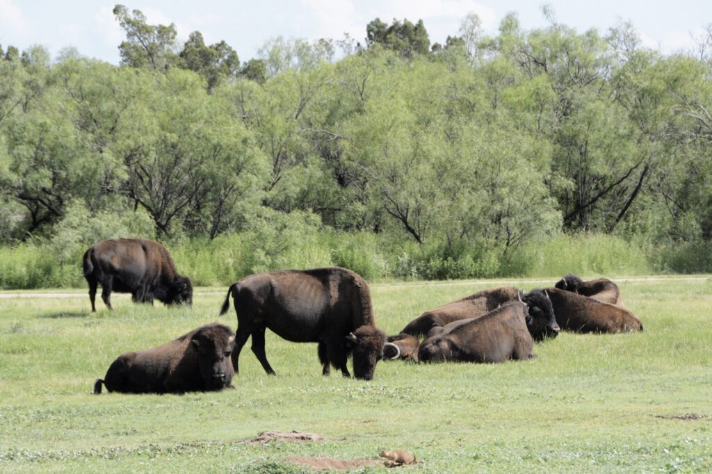
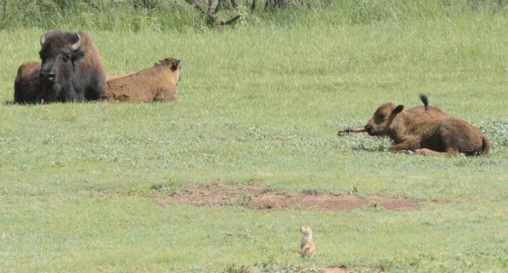
Capulin Volcano is said to have erupted when mammoths and giant bison roamed these plains.
There’s an interesting story about a former slave from Texas who found some ancient bison bones after a devastating flood in an area seven miles north of Capulin Volcano. What made the discovery important was the finding of “Folsom points”, stone projectile points used by early bison hunters. The fact that they were intermingled with the giant bison ribs, even embedded in one, meant that they could place mankind in North America almost 7,000 years earlier than previously thought. Of course, if they had believed the Bible, they could have saved themselves some trouble with their dating process.
President Woodrow Wilson declared Capulin Mountain a National Monument in 1916. It was considered the most perfect specimen of extinct volcanoes in North America. A road was built in 1925. In 1933 a Civil Works Project was approved and gave local men a dollar a day plus food to build a sound road. It was 1987, however, before the road was actually paved.
*****
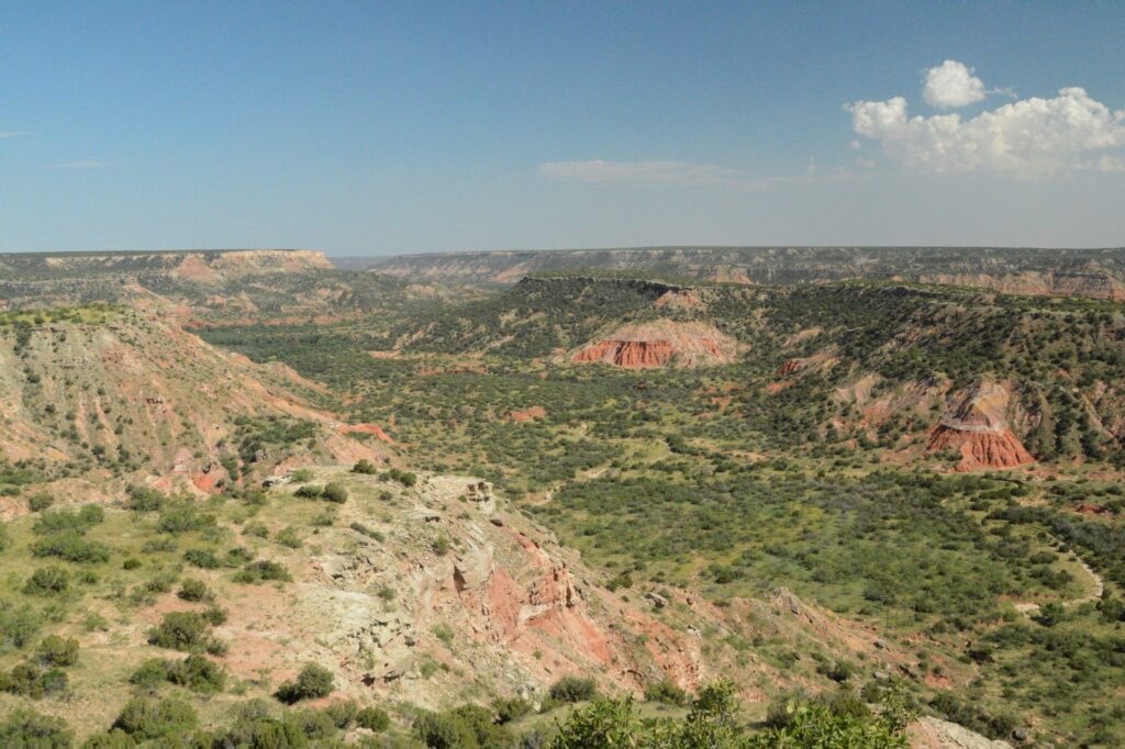
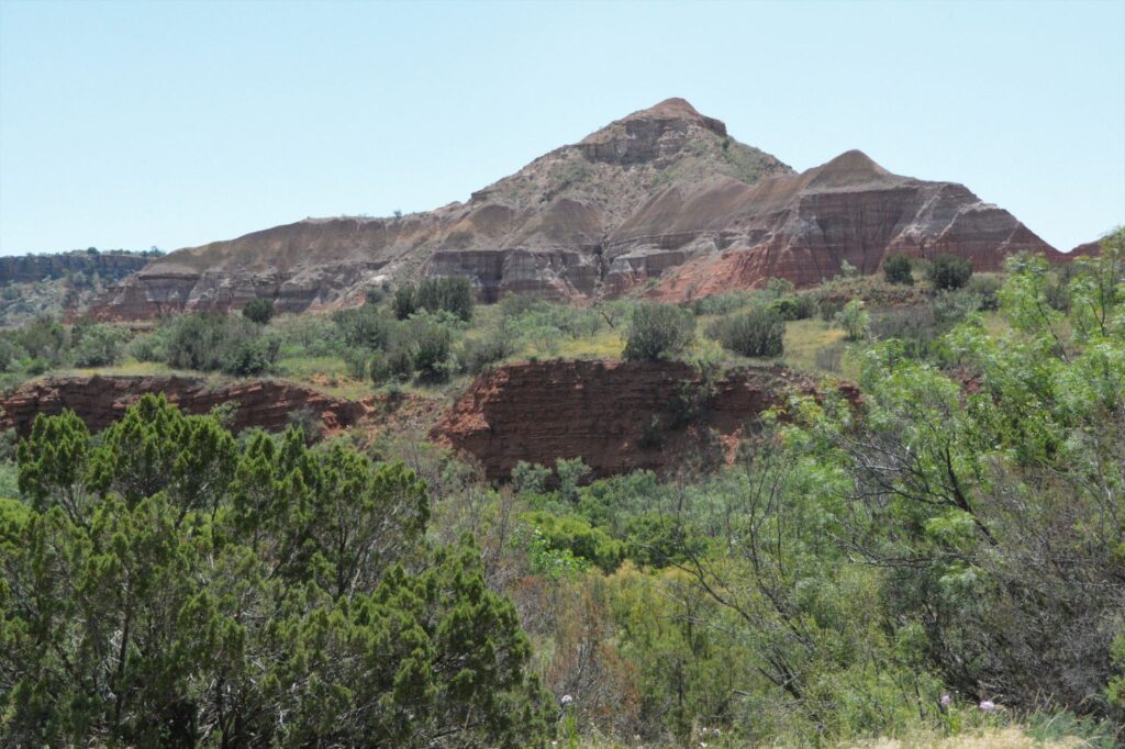
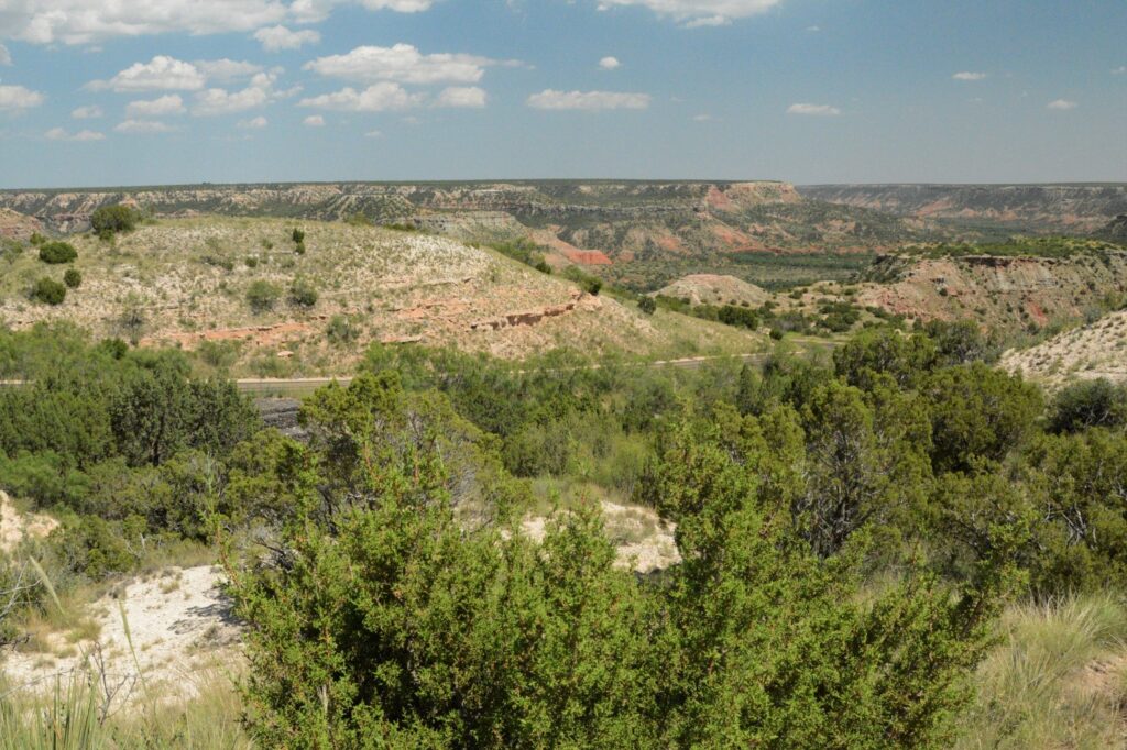
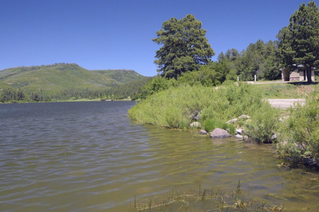
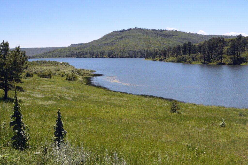
Over a period of four days, we drove the truck several miles. One day we took a drive to nearby Sugarite State Park. The park has a couple of lakes formed by dams.
The upper lake, Lake Maloya, is the larger lake. The park is so close to the state line that Lake Maloya extends a short distance over the Colorado border.
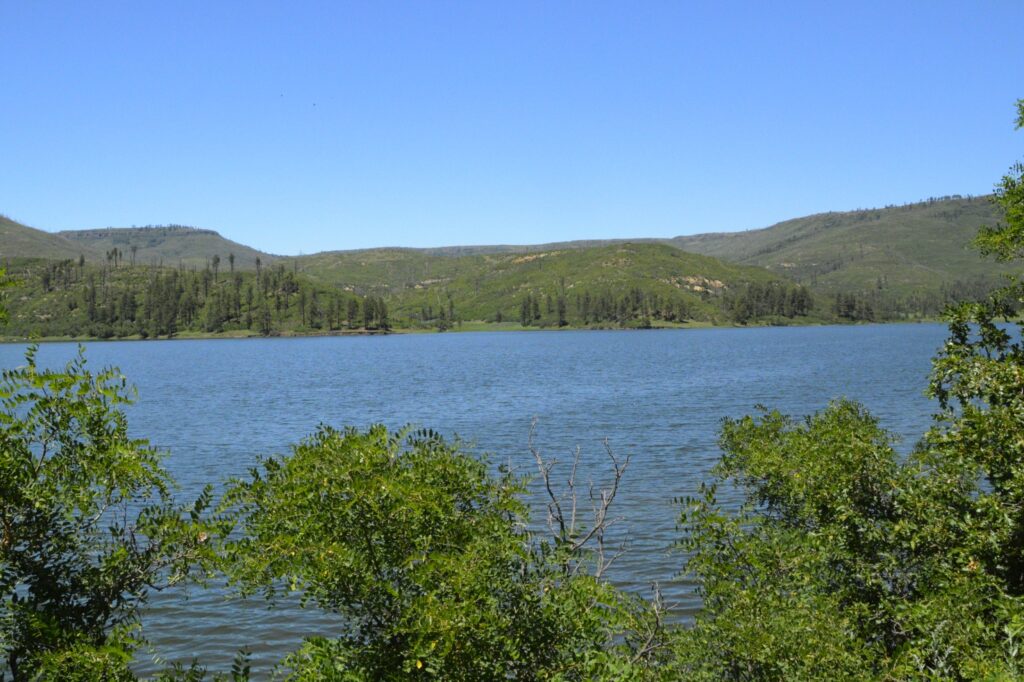
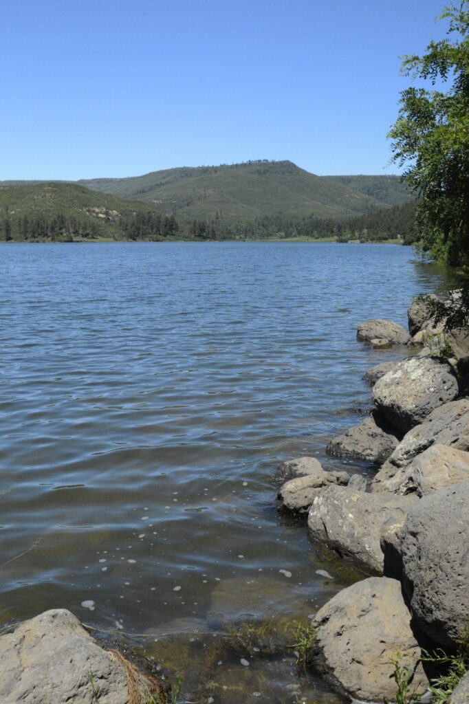
The lake is a popular fishing spot. A fisherman told me that there were pike and trout in the lake.
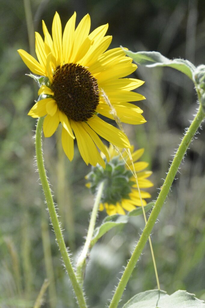
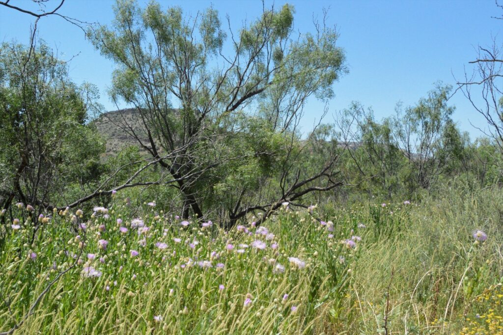
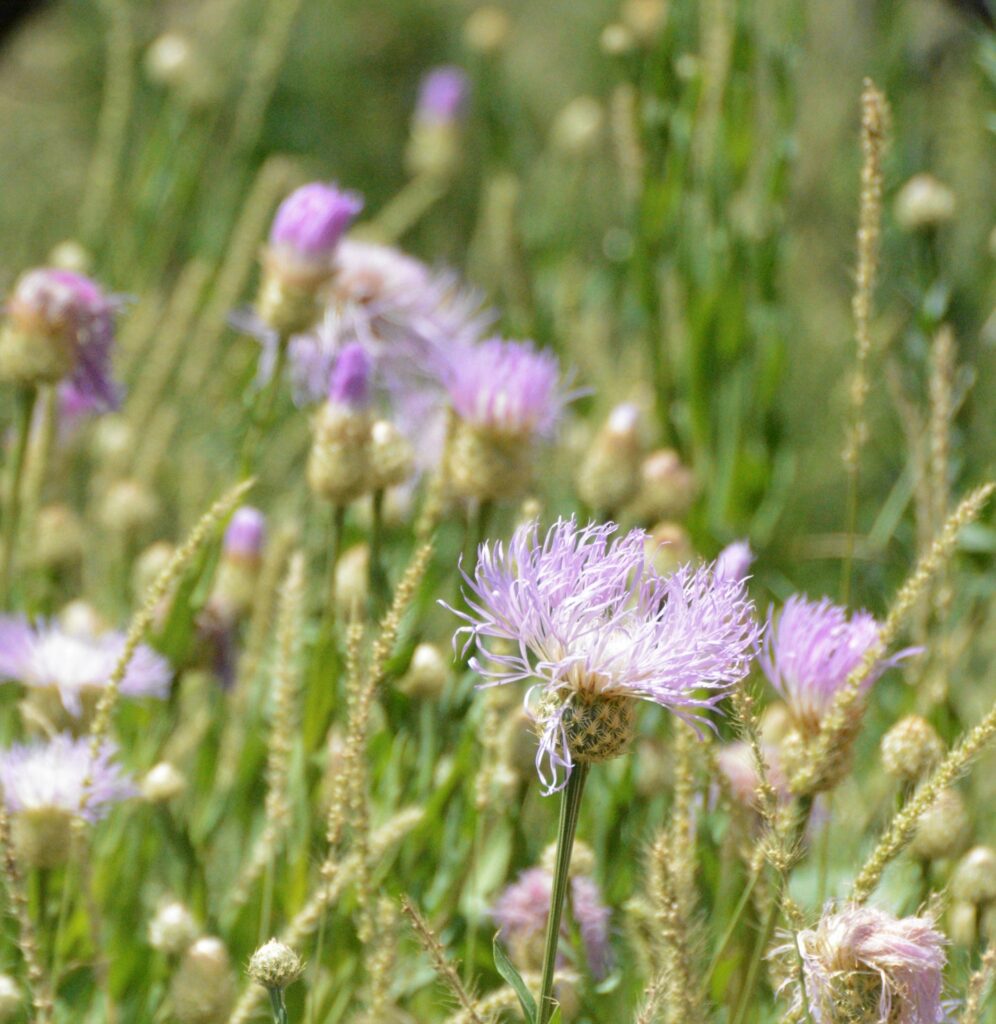
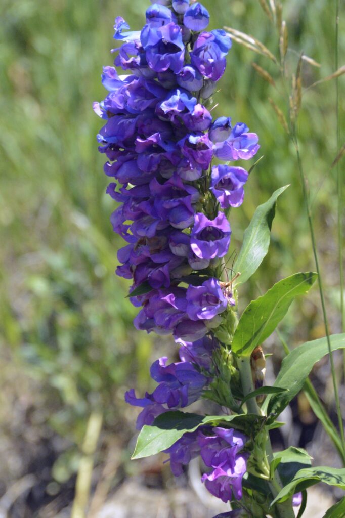
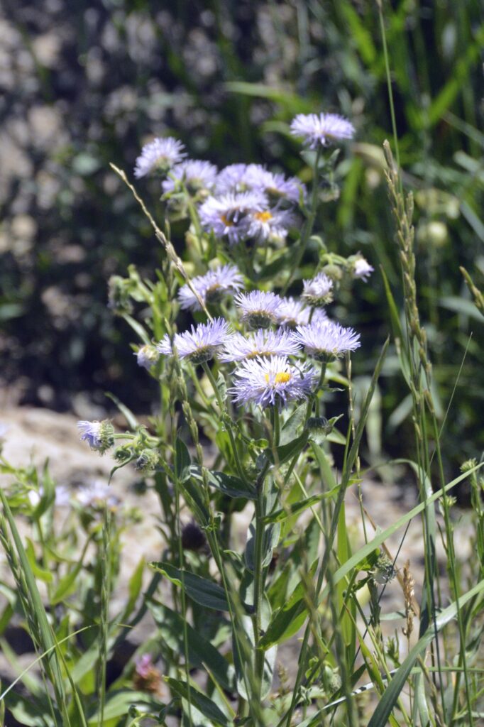
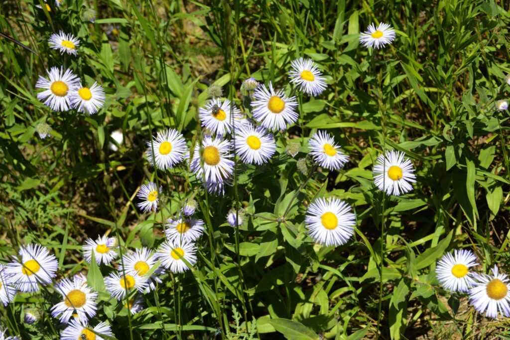
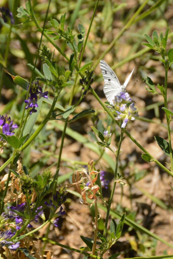
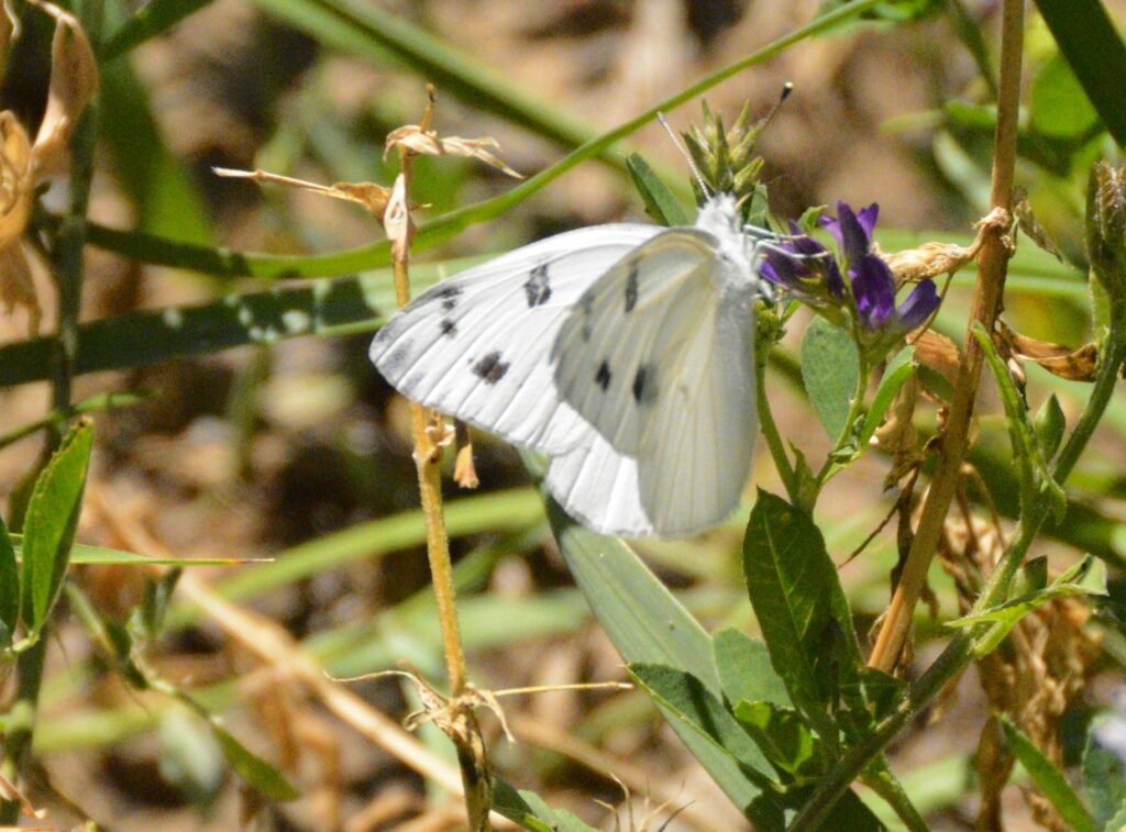
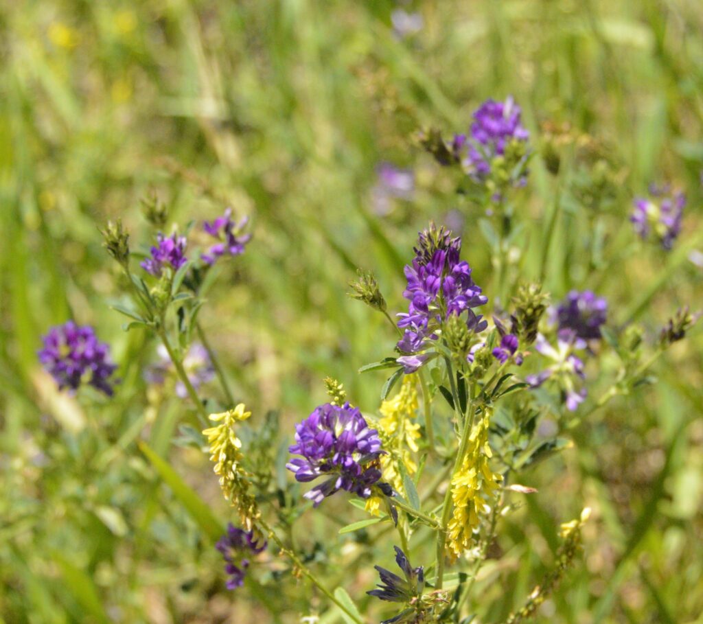
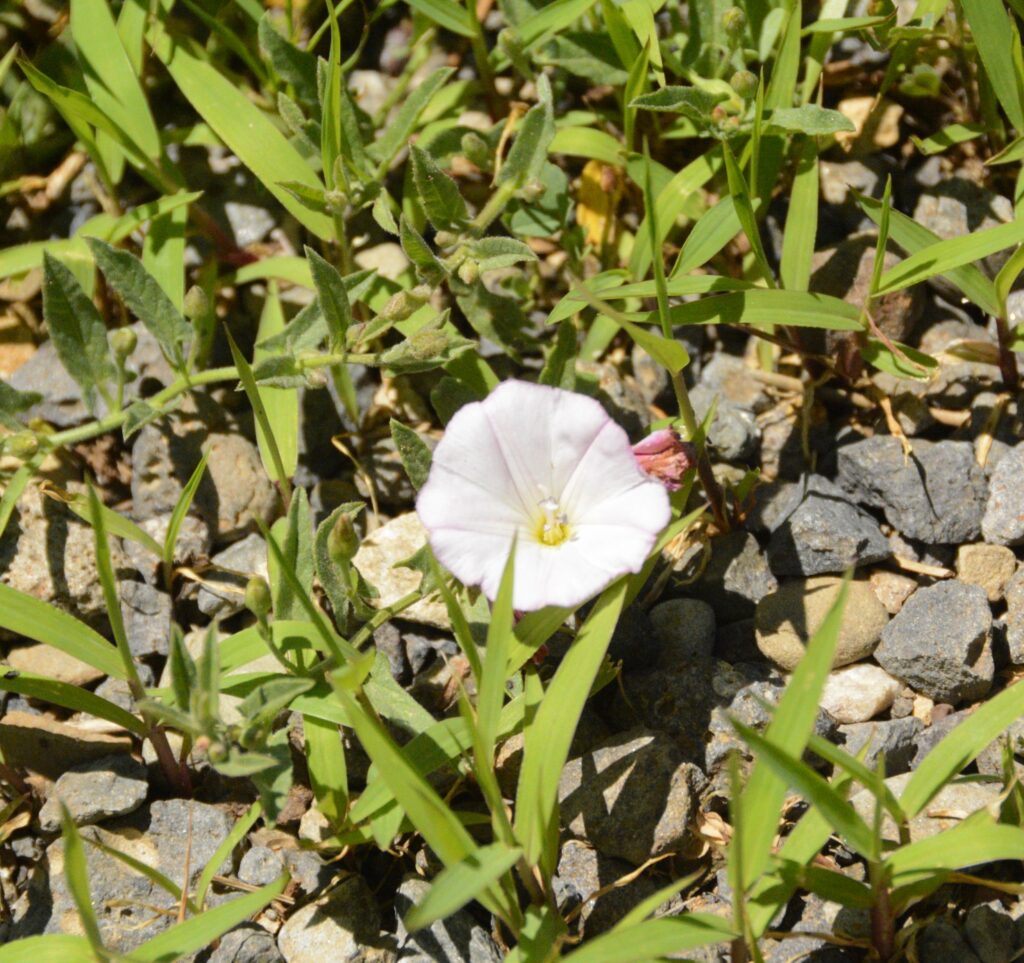
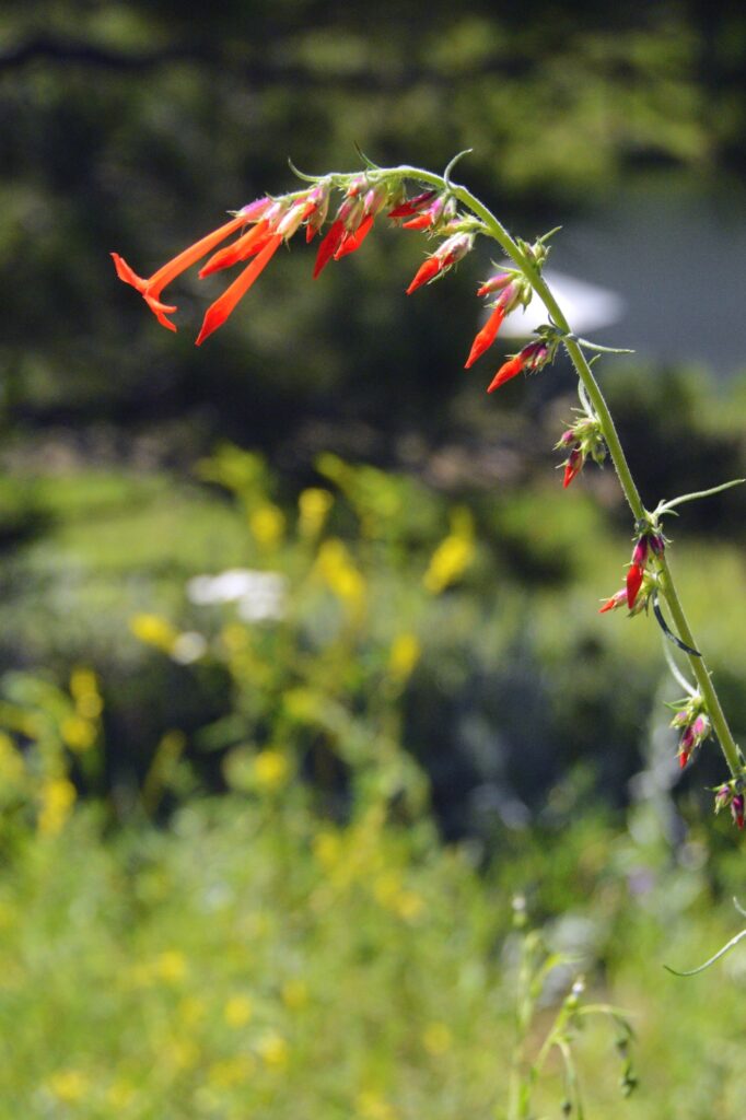
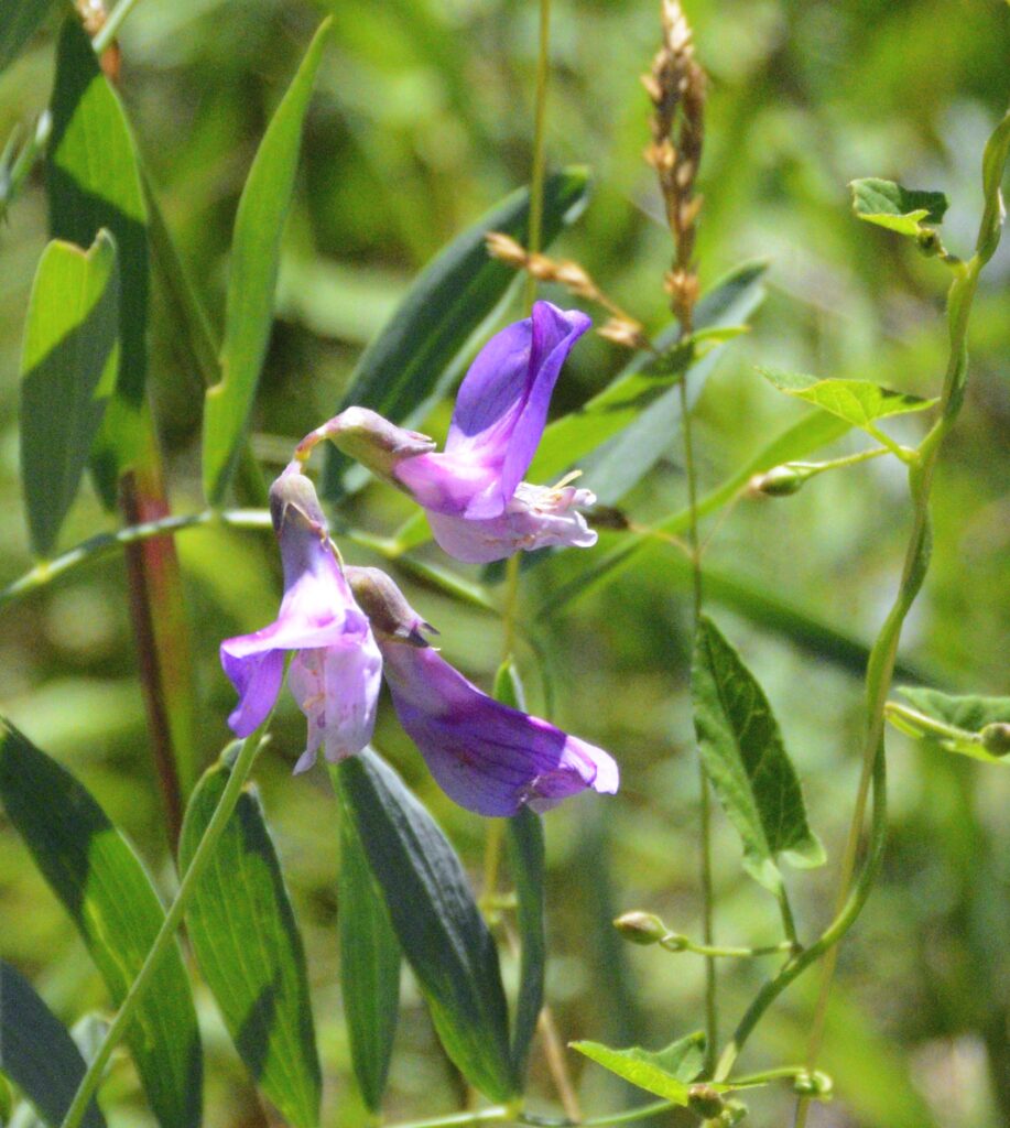
There were many wildflowers in bloom around the lake. Butterflies were also abundant. I discovered a phone app called “Picture This” that helps me identify flowers just by taking a photo of them. Here are some I identified with it.

We continued driving the truck each day. On day four, Ray was able to clear all the warning messages and canceled the appointment with the mechanic. The truck was running fine. We left the next day and drove across the pass to our next destination, thanking God for His wonderful care for us.
“Lord hears his people when they call to him for help.
He rescues them from all their troubles.” Psalm 34:17