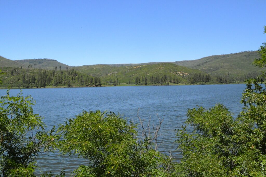
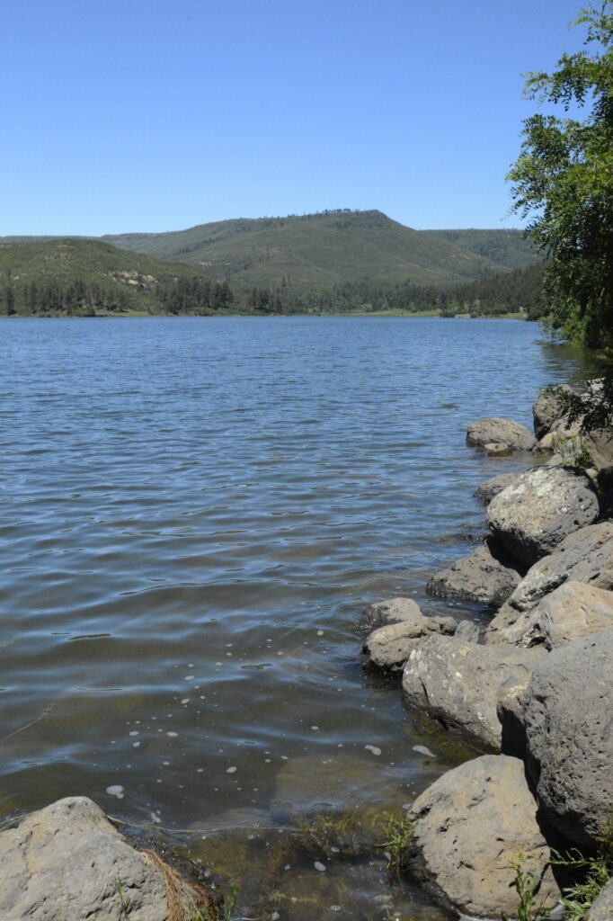
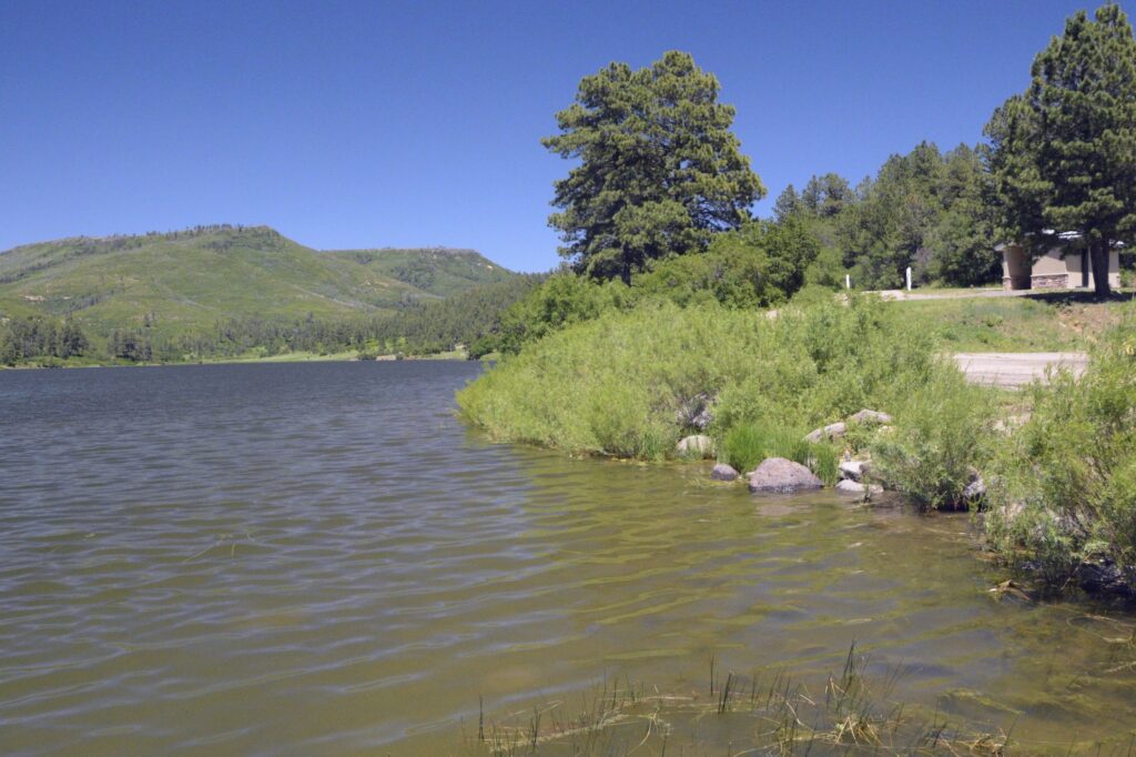
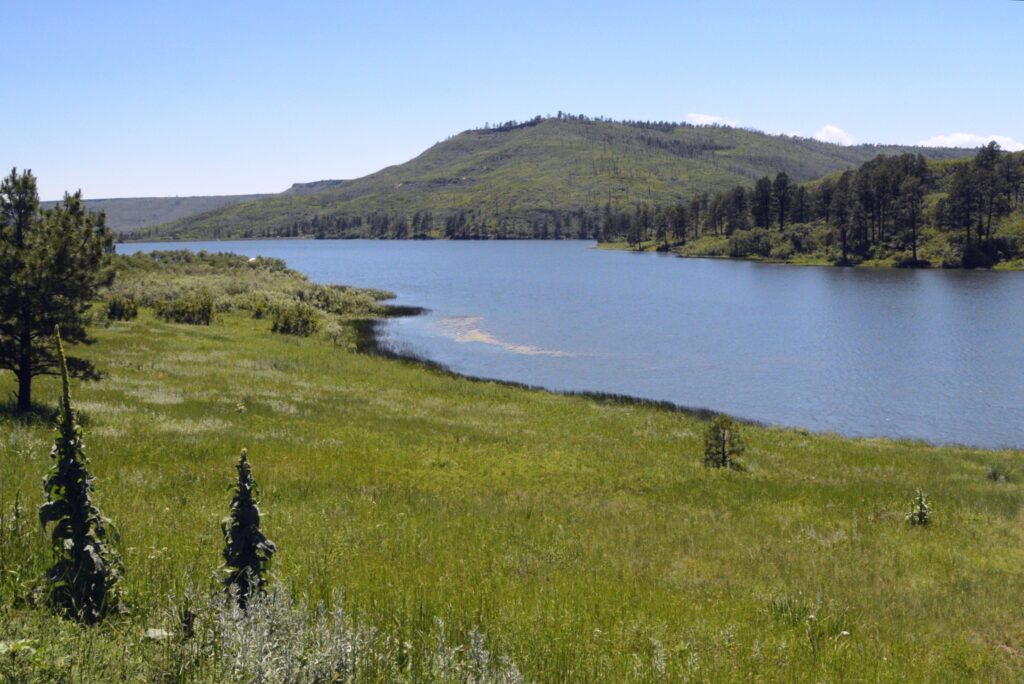
Lake Tahoe is the largest alpine lake in North America. It is the second deepest lake, after Crater Lake which is in Oregon.
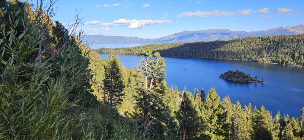
Lake Tahoe is completely surrounded by mountains of the Sierra Nevada and the Carson Mountain Range.
We enjoyed our three-week stay in South Lake Tahoe. The lake straddles two state lines, California and Nevada. We were on the California side, but did our shopping and fueling up in Nevada where prices were much better.
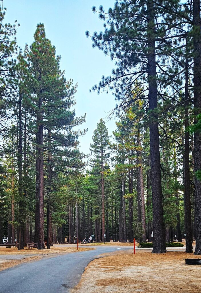
Our campsite was among tall beautiful pines. Whenever we stepped outside, we could smell the wonderful scent of the pines. Tahoe Valley Campground where we stayed is one of the Encore parks of Thousand Trails Campgrounds.
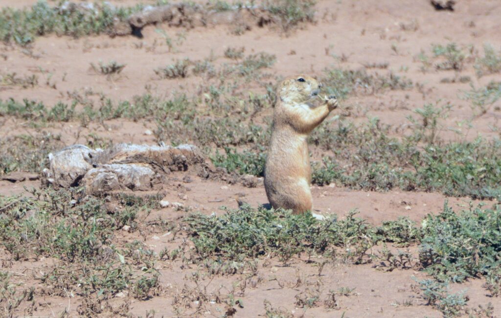
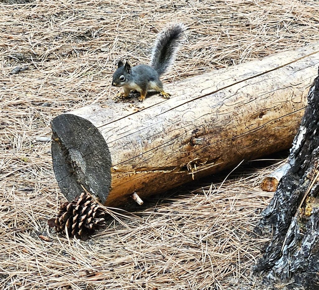
On our evening walks, we saw a variety of wildlife. There were plenty of tree squirrels like this little fellow.
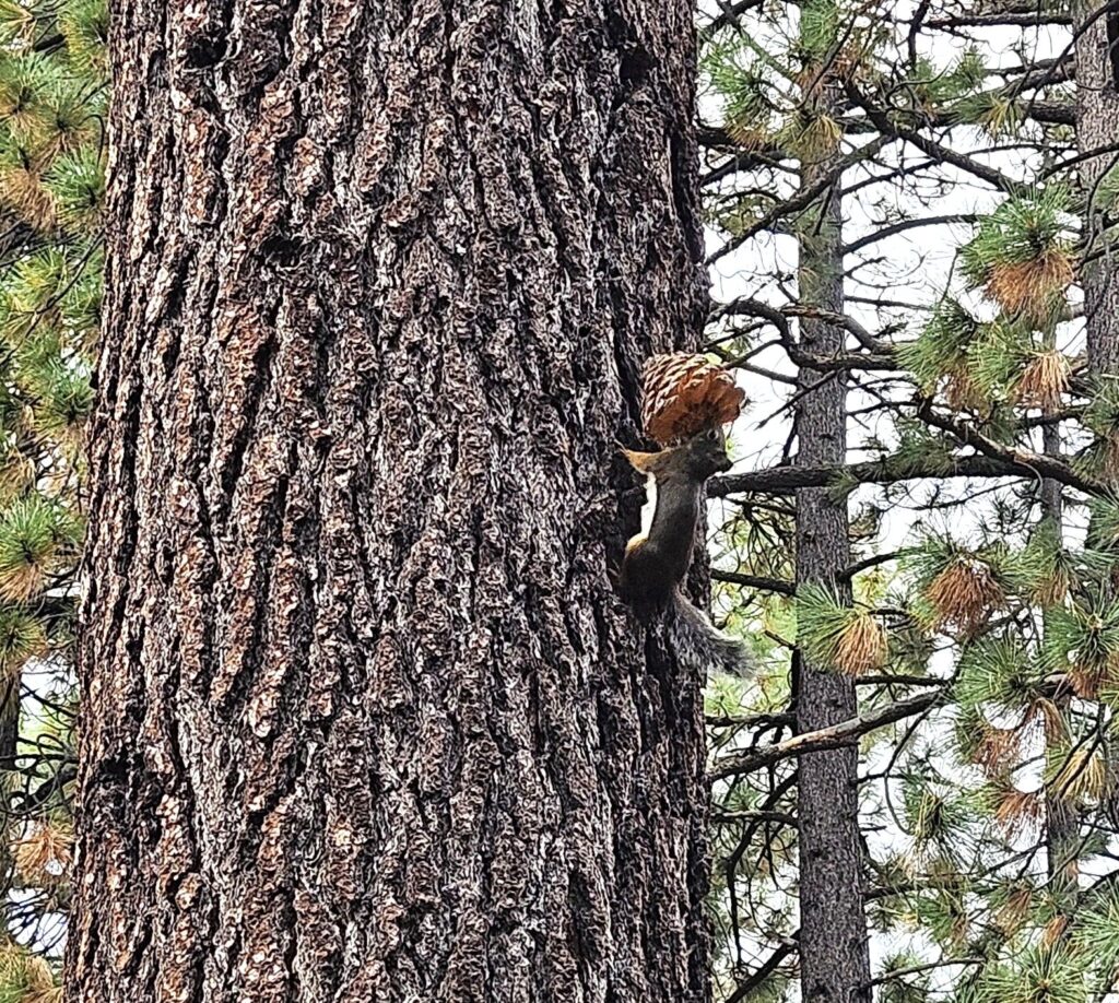
This squirrel amazed me at his determination to carry this pine cone (that was almost as big as he was) up this tree trunk.
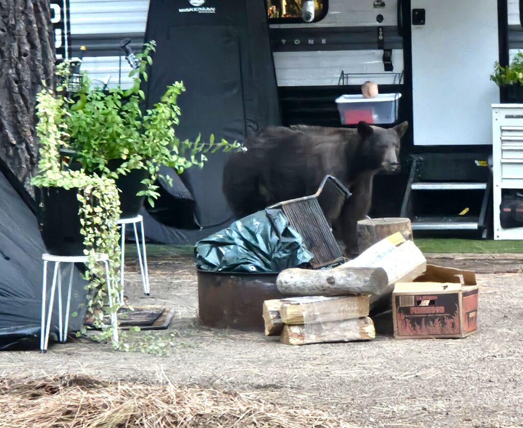
We even saw a bear one evening by a neighbor’s doorway. We had our own bear incident. I came out one morning to find both doors on the passenger side of our truck wide open. I thought maybe Ray had forgotten to close them, until I saw a bunch of trash around on the ground. Although we always lock the truck at night, we forgot that night. A bear opened the truck doors and found Ray’s bag of Fritos and our stash of peanut butter crackers. He ate everyone of them! (and left the trash for me to clean up.)
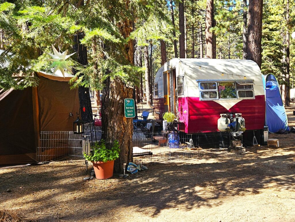
On our walks, we like to look at the variety of homes on wheels. I thought this little vintage trailer was cute.
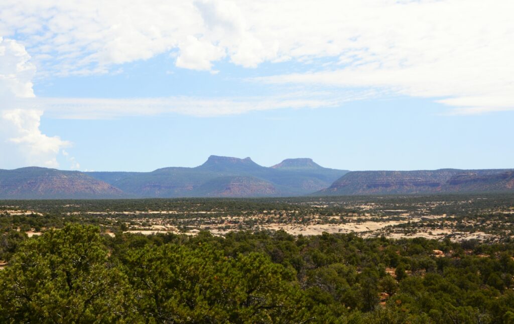
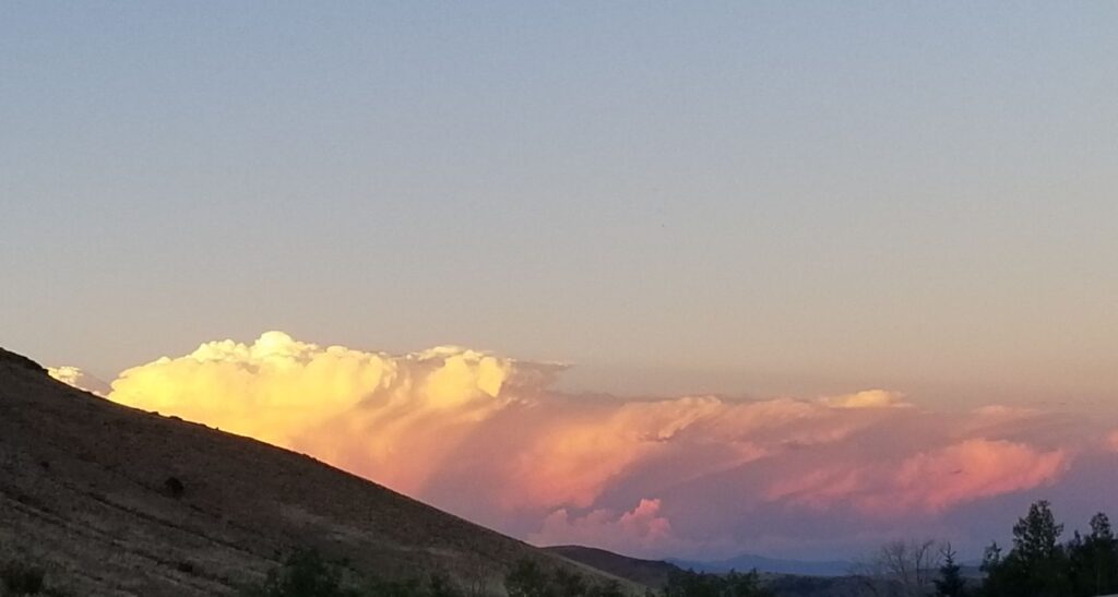
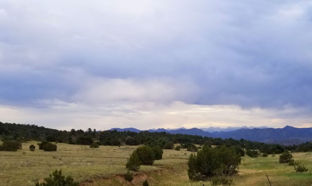
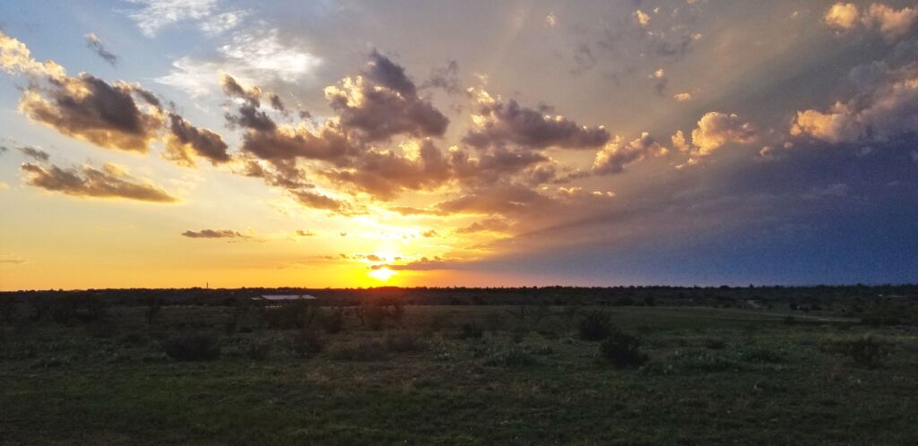
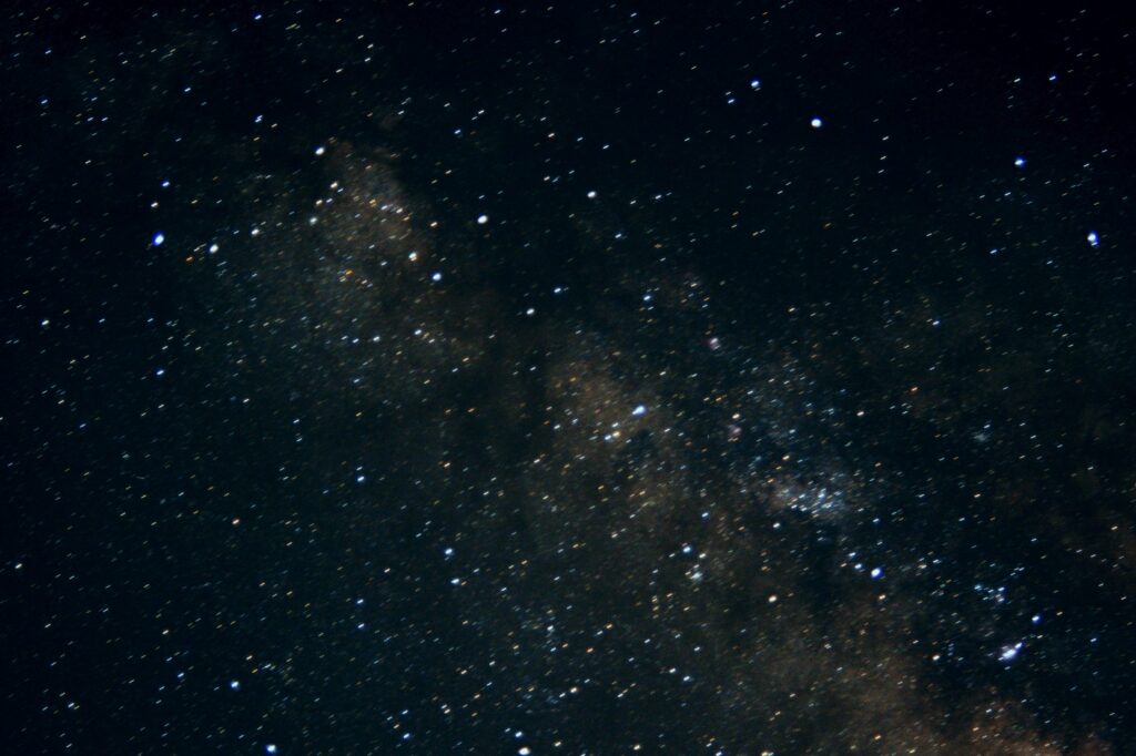
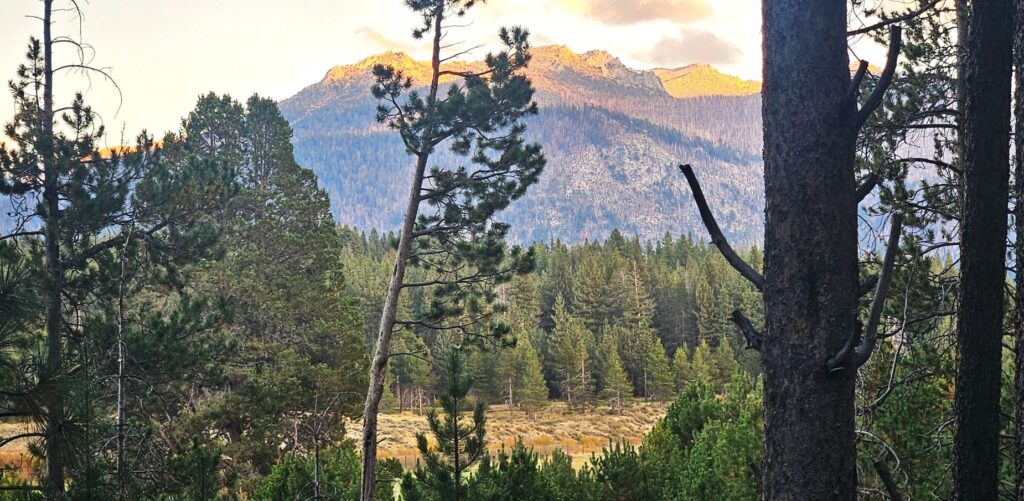
If we timed our walks right, we could peer through the trees and see the mountains in the distance as the last bits of sunlight lit up the mountain tops at sunset.
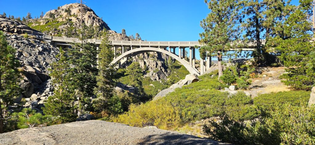
Donner Pass
One of our first excursions in the area was to Truckee, California, to see Donner State Park and Museum. The museum tells the history of the Donner party and the history of the Lincoln Highway (Highway 50). We listened to an audio tour and learned about the history of the area as we drove along. We lost the route in Truckee and had to finish it on our own. We listened to the rest of the tour on our way home.
Taylor Creek Visitor Center
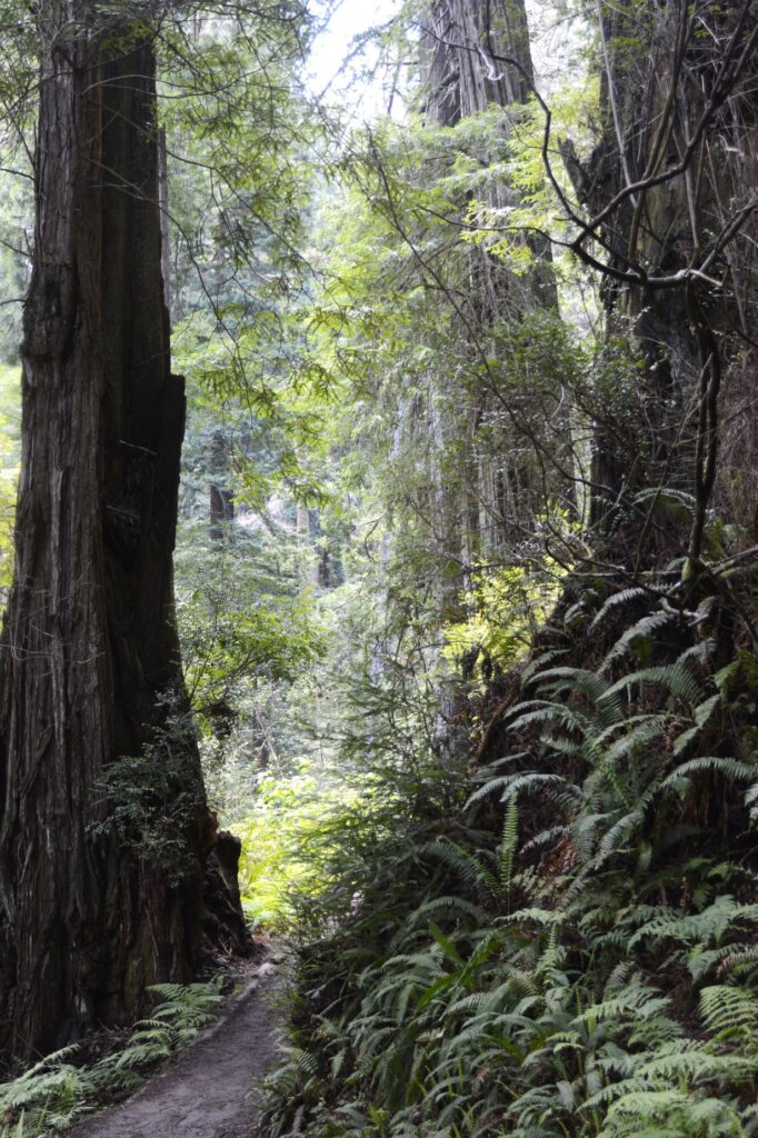
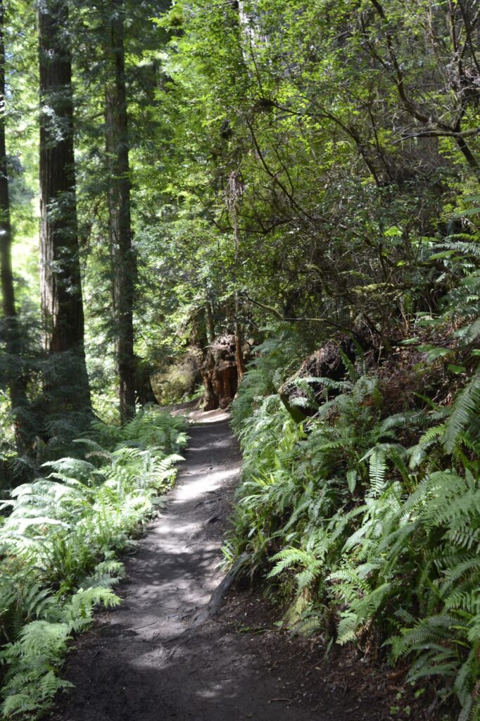
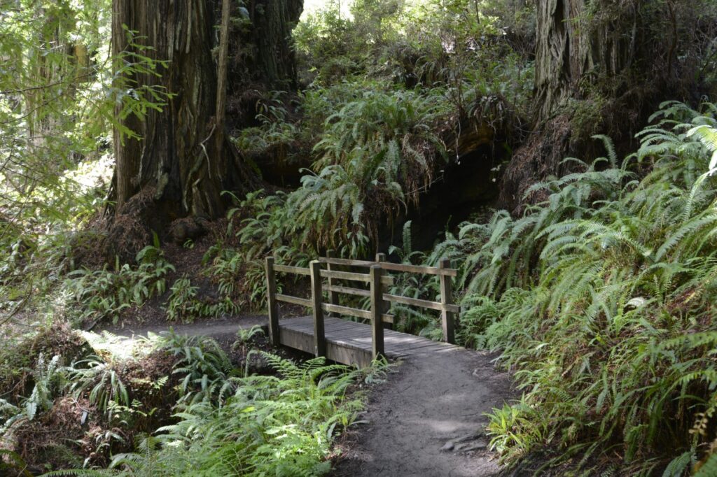
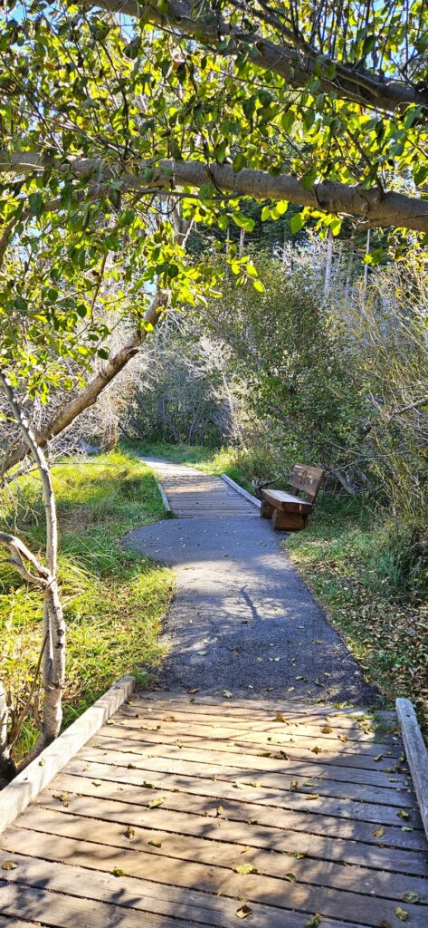
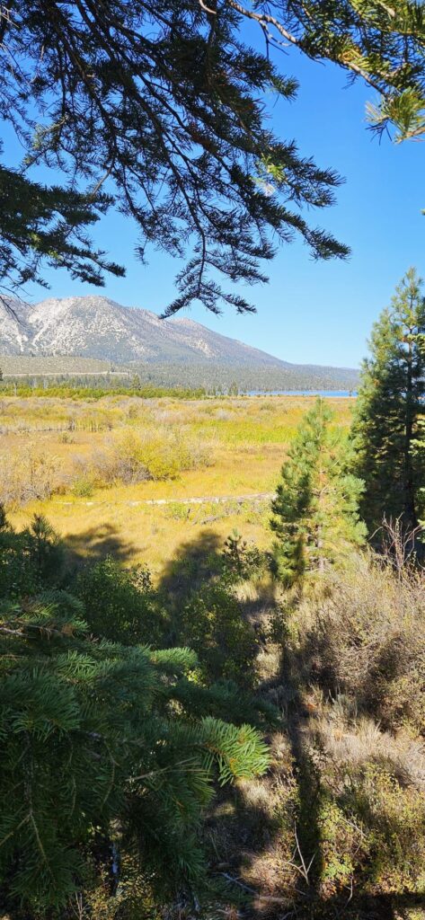
Another excursion closer to home was the Taylor Creek Visitor Center. We hiked the half-mile Rainbow Trail that makes a loop back around to the Visitor Center. It was a perfect day for a walk.
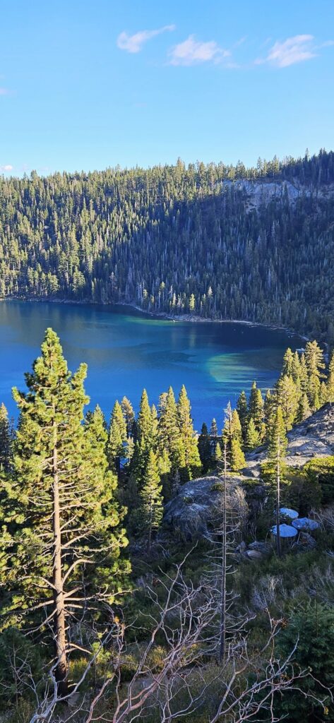
Most of the area is marshy. One of the reasons Lake Tahoe is so clear is that it is mostly filled from rain and snow. The marshes also contribute to the clarity by filtering water flowing into the lake.
The marshes help slow the water flowing into the lake, thereby trapping sediment.The plants in the marshes absorb excess nutrients which removes pollutants from runoff and snow-melt before it reaches the lake.
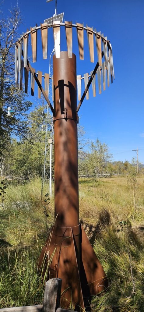
Lake Tahoe gets 300 to 500 inches of snow each year. This “Snowtel” is one of the ways the snowfall is monitored.
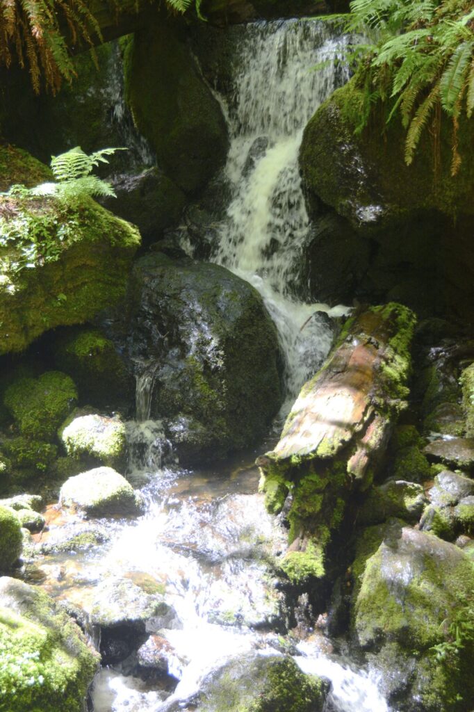
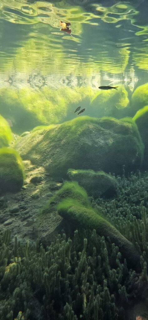
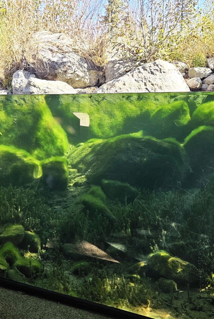
The Stream Profile Chamber is the highlight of the Rainbow Trail. Visitors can view the stream from under water. This is one of the most unique nature displays I’ve seen.
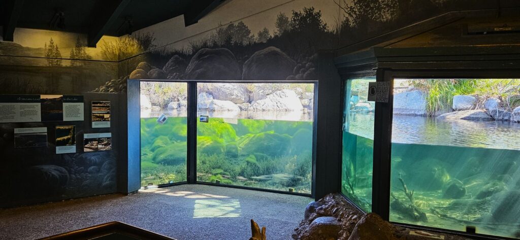
We were there too early to see the salmon spawn. The Kokanee salmon spawn here in mid-October to November. We saw a few small fish.
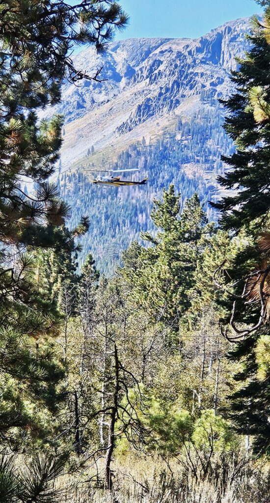
On our way back to the parking area, we saw this helicopter practicing search and rescue.
Tallac Historic Site
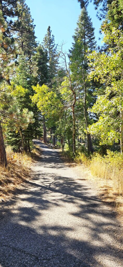
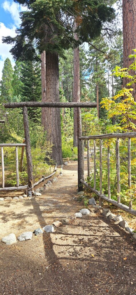
Near the Taylor Creek Visitor Center is the Tallac Historic Site. You can hike a short trail from Taylor Creek to get there, or drive a short distance and park in the parking lot. This historic site is a beautifully preserved glimpse into the lives of three prominent families from San Francisco during the Gilded Age.
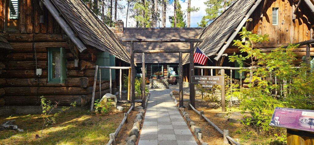
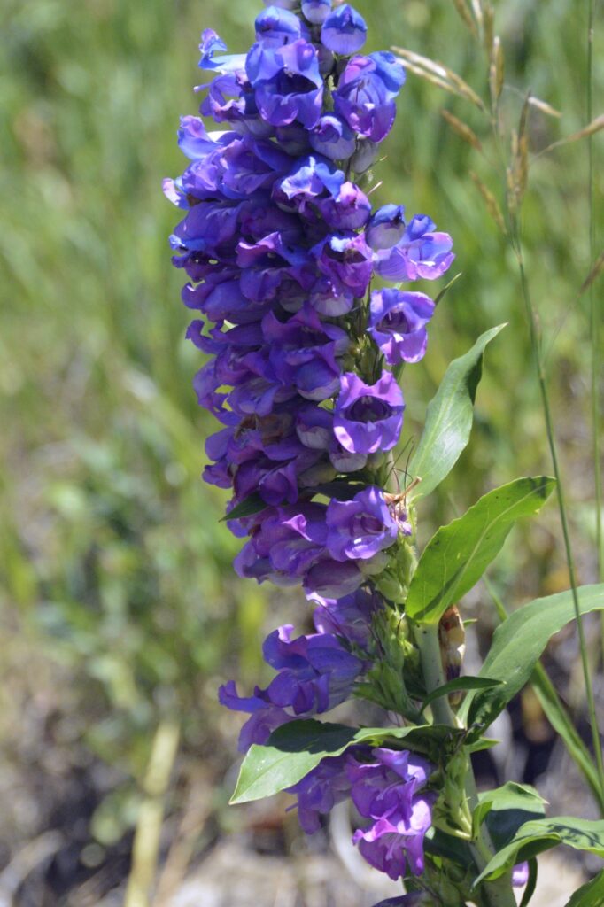
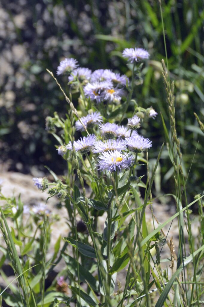
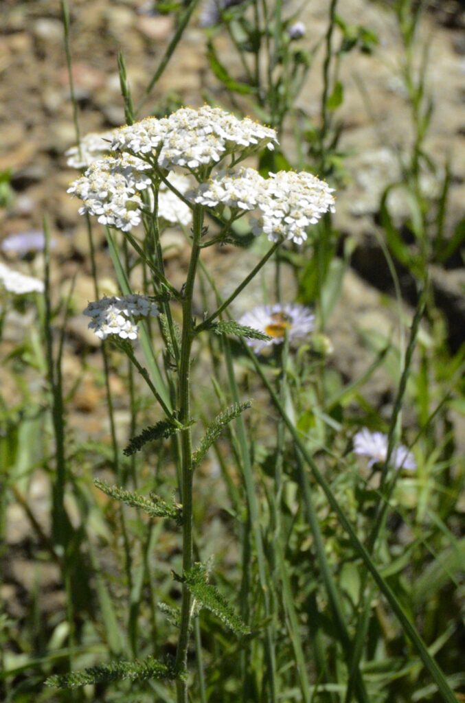
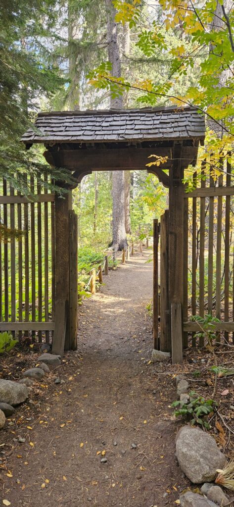
The walk through the grounds is beautiful.
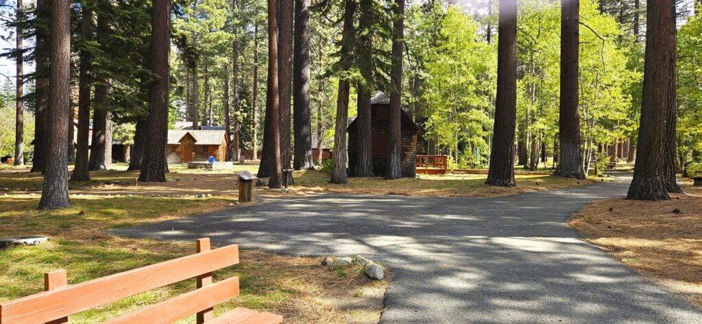
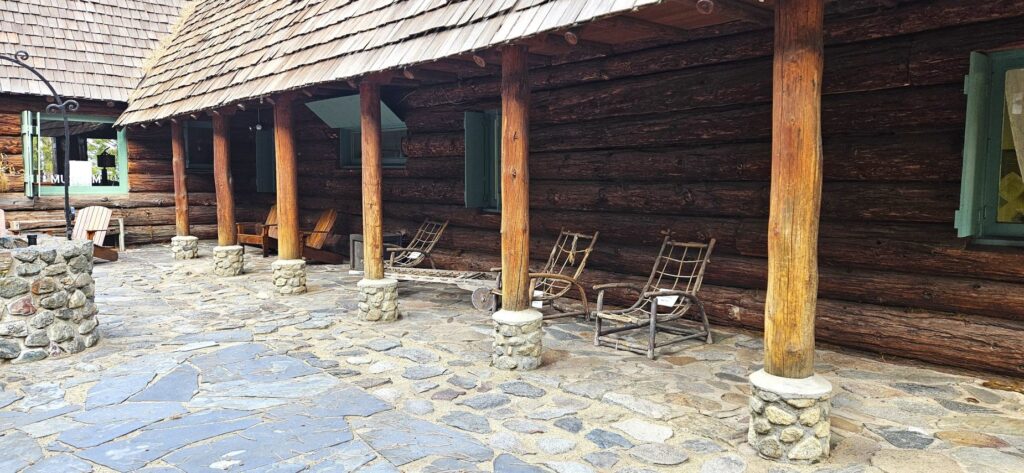
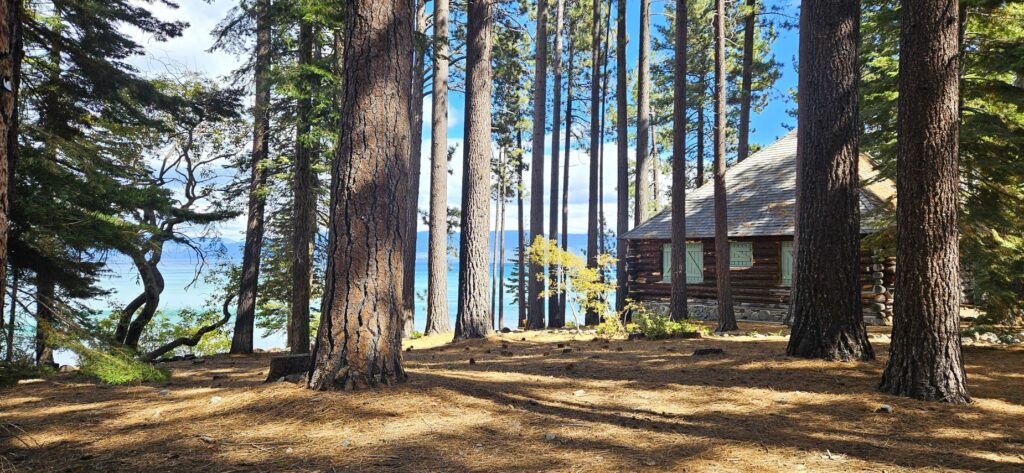
Besides the larger homes, there were many smaller cabins.
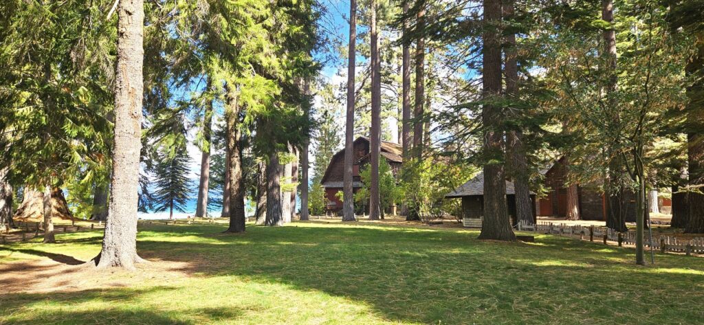
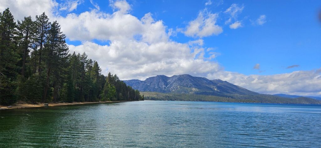
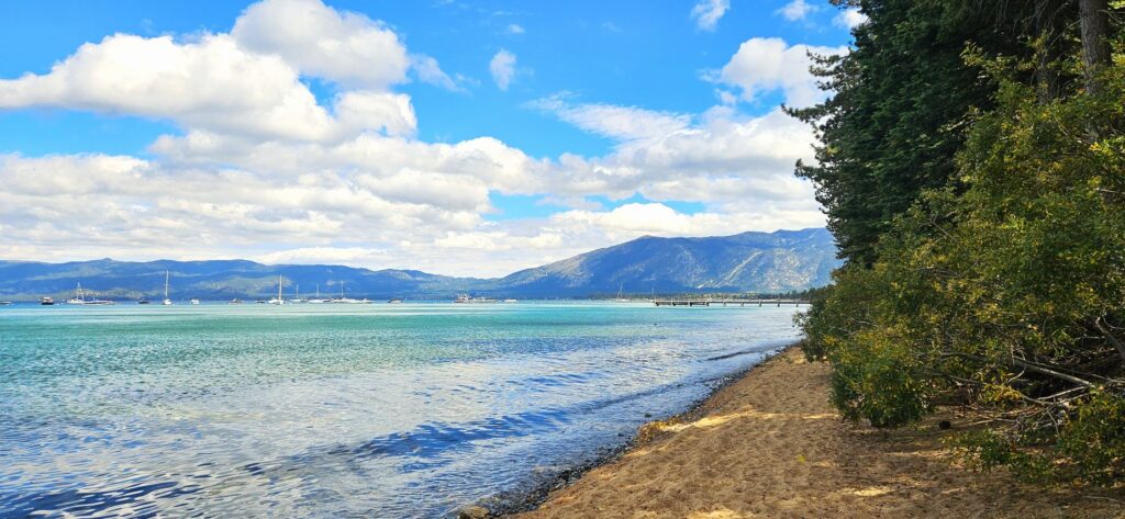
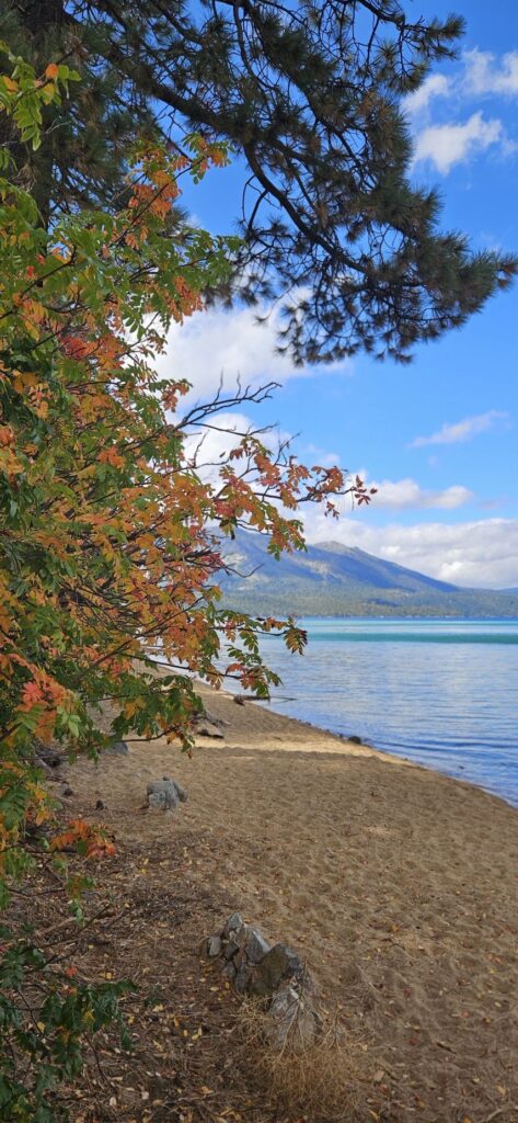
The grounds are right on the shore of Lake Tahoe with beautiful views of the lake and forest.
There are three estates here, so you can get some good exercise by going to all three.
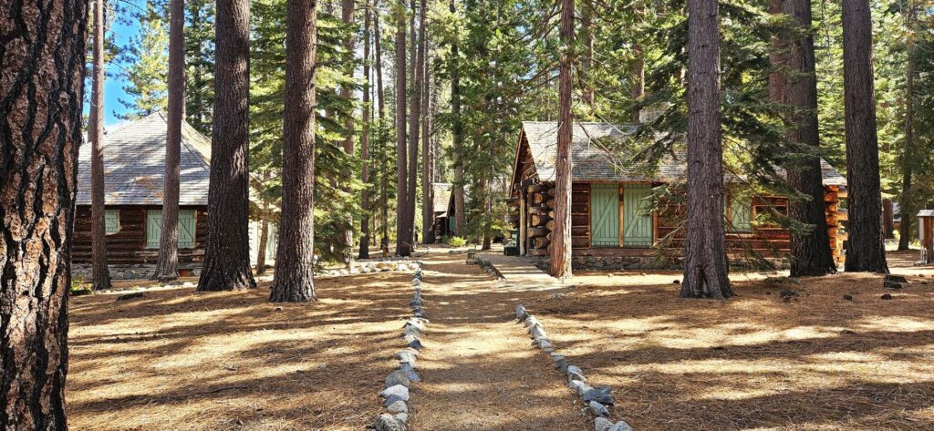
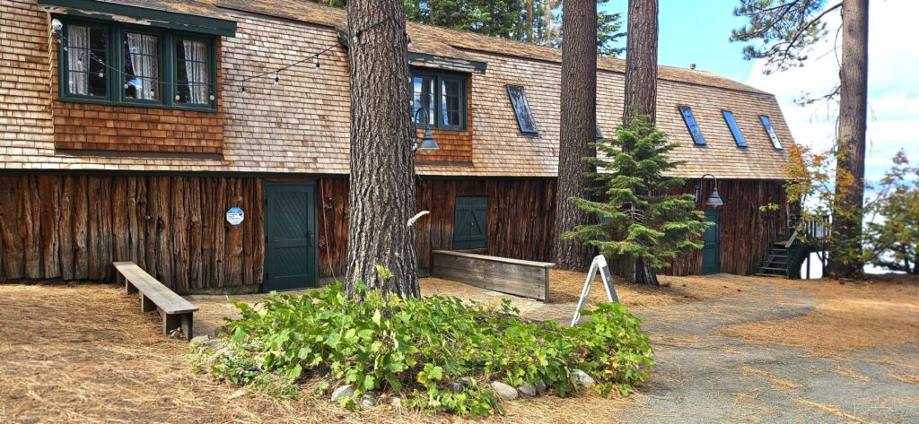
Many of the buildings are still being restored. Volunteers restored this garden.
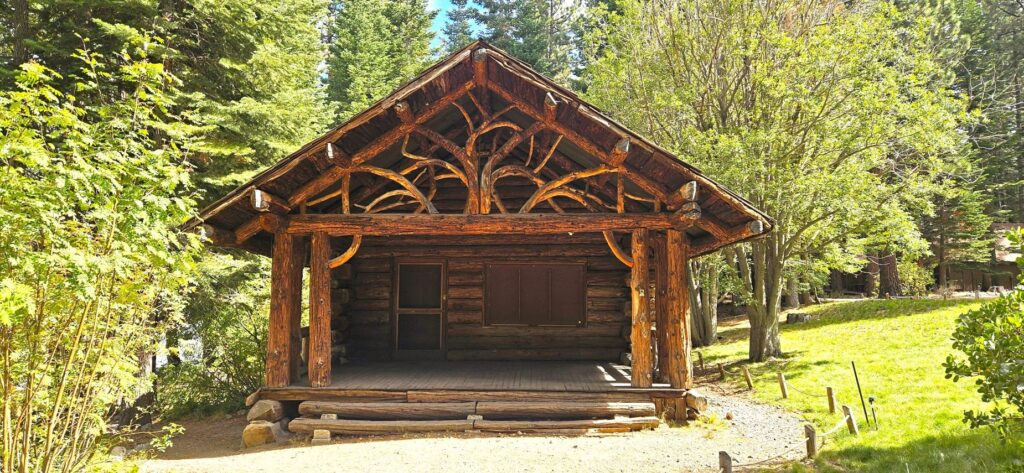
The Pope Estate invited painters, sculptors, photographers and other artists beginning in the 1920s. The Great Basin Institute re-launched the artist-in-residence program in 2023. The artists use the historic cabin as their personal studio, showcase their talent and provide workshops. The beautiful setting is an inspiration to any artist.
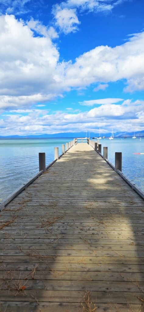
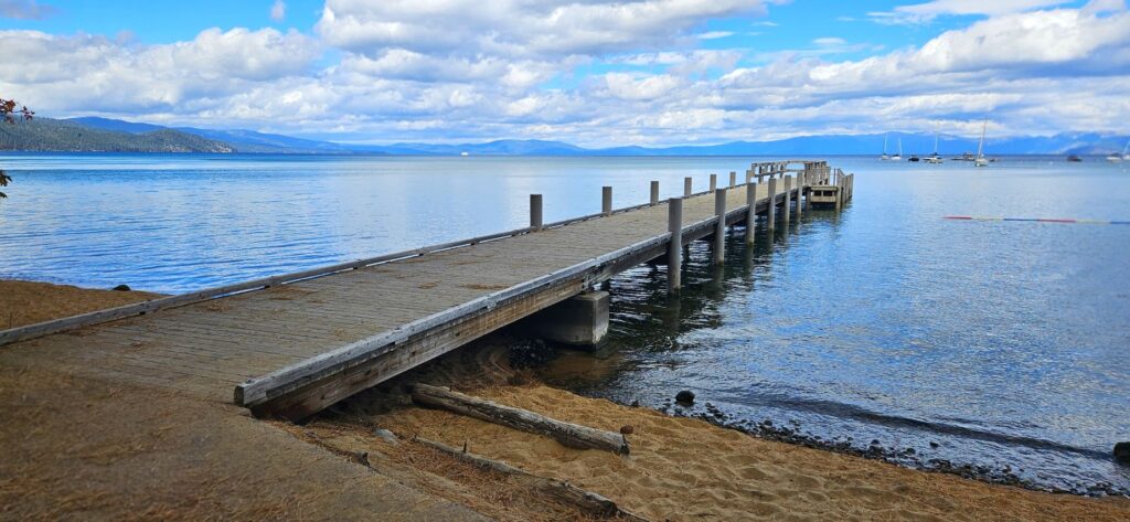
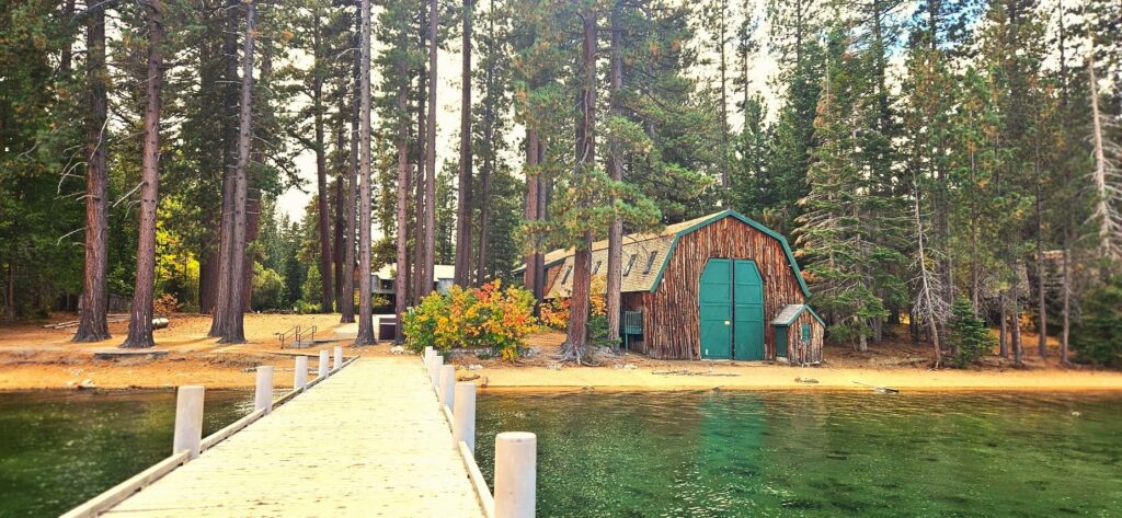
Further down the shoreline is a pier and marina.
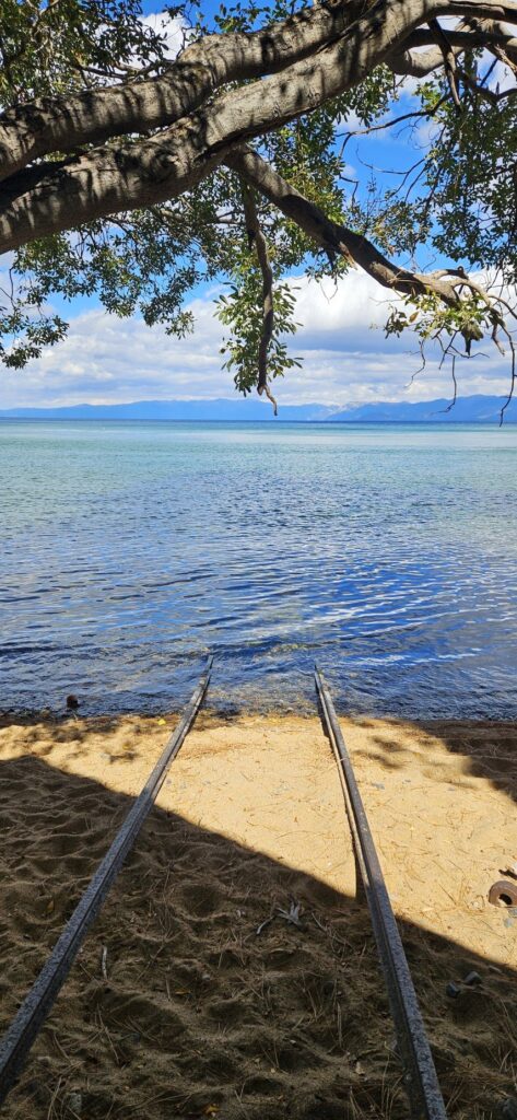
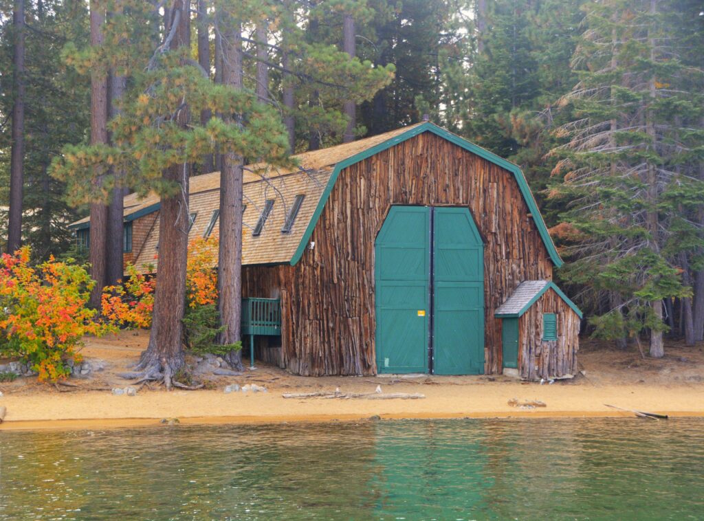
To get supplies or to get to the other side of the lake, boats were launched from the boathouses on rails into the water.
If they didn’t want to get their feet wet, they used the pier.
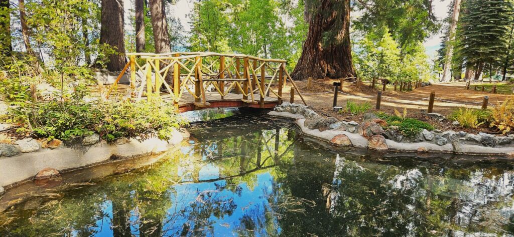
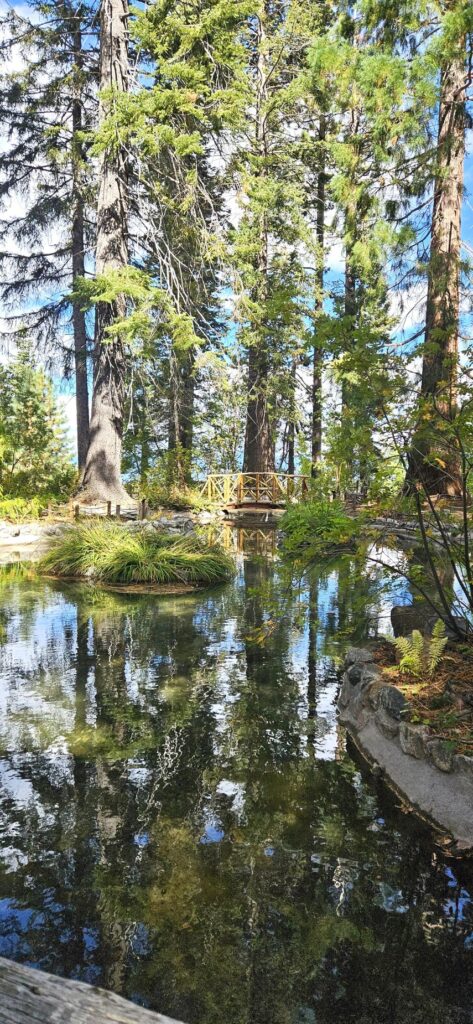
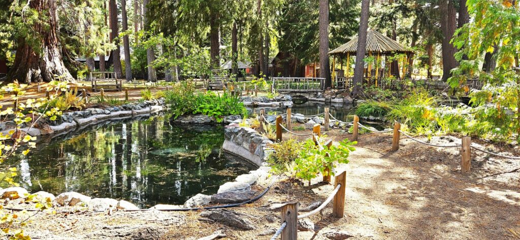
My favorite estate was the Pope Estate with it’s fish pond and gazebo.
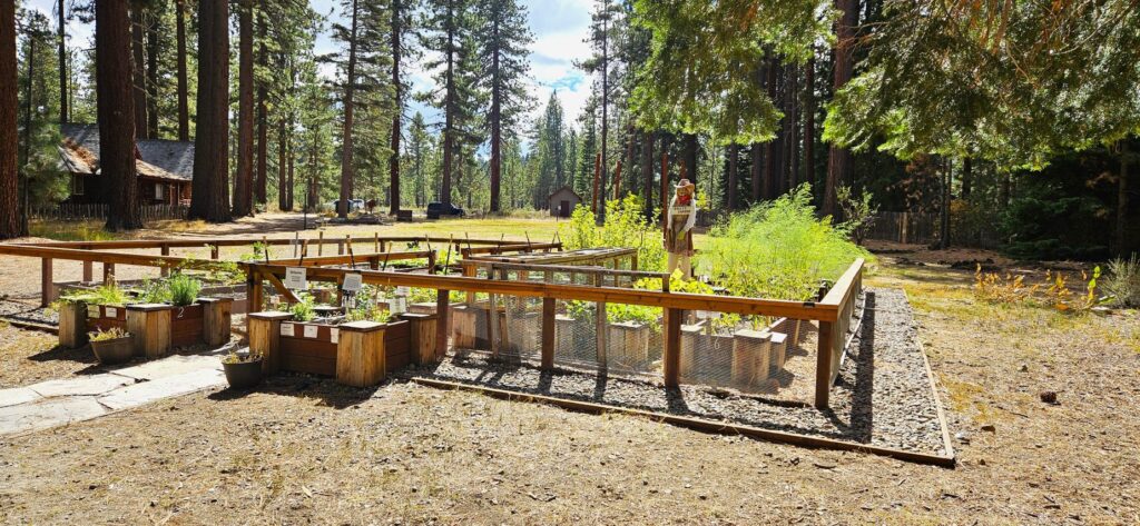
In this community garden, volunteers grow herbs and fruits and vegetables like strawberries, tomatoes and asparagus.
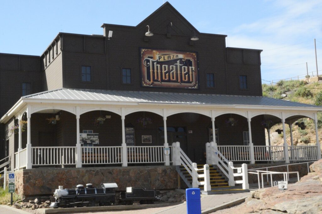
The Valhalla/Heller Estate boathouse was converted into a community theater which is currently used for events and performances.
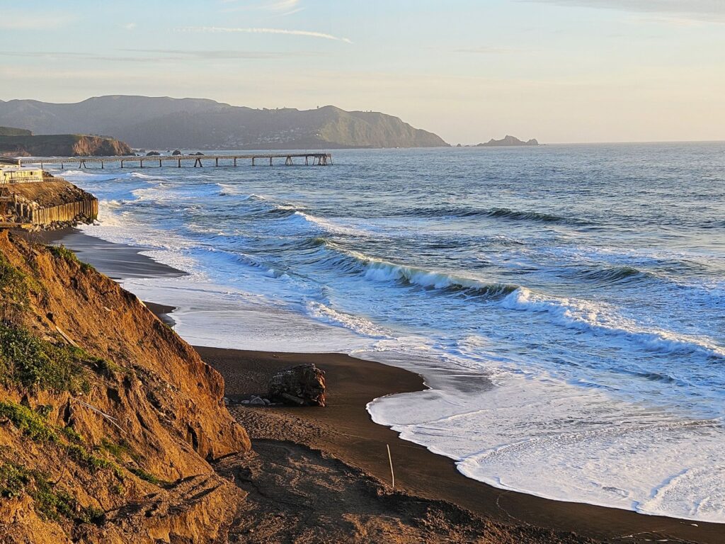
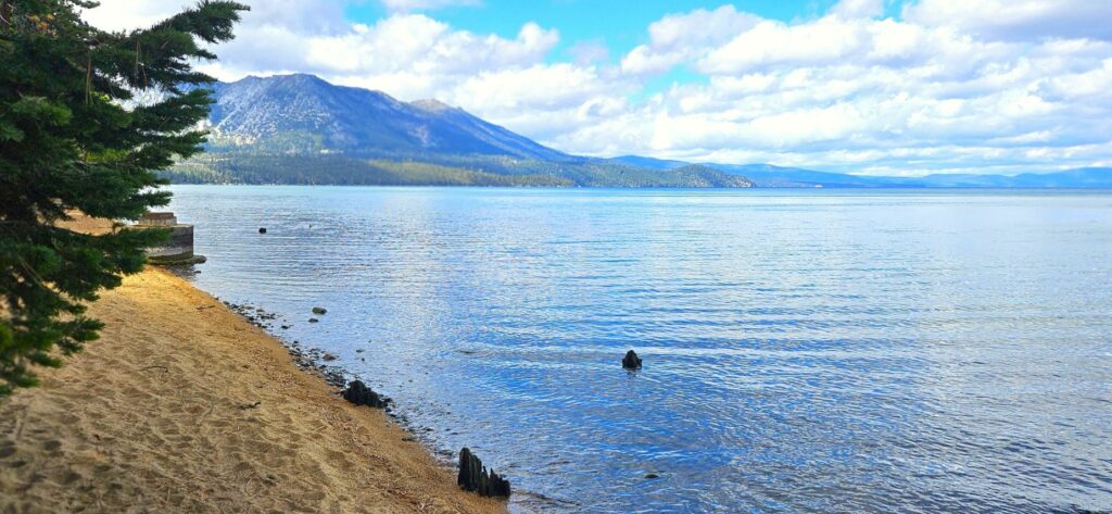
Lake Tahoe is such a beautiful place, it is on my list to re-visit again and again. Some places are just especially beautiful. This is one of them.
“For since the creation of the world His invisible attributes, that is, His eternal power and divine nature, have been clearly perceived, being understood by what has been made, so that they are without excuse.” Romans 1:20