Northern Oregon Coast

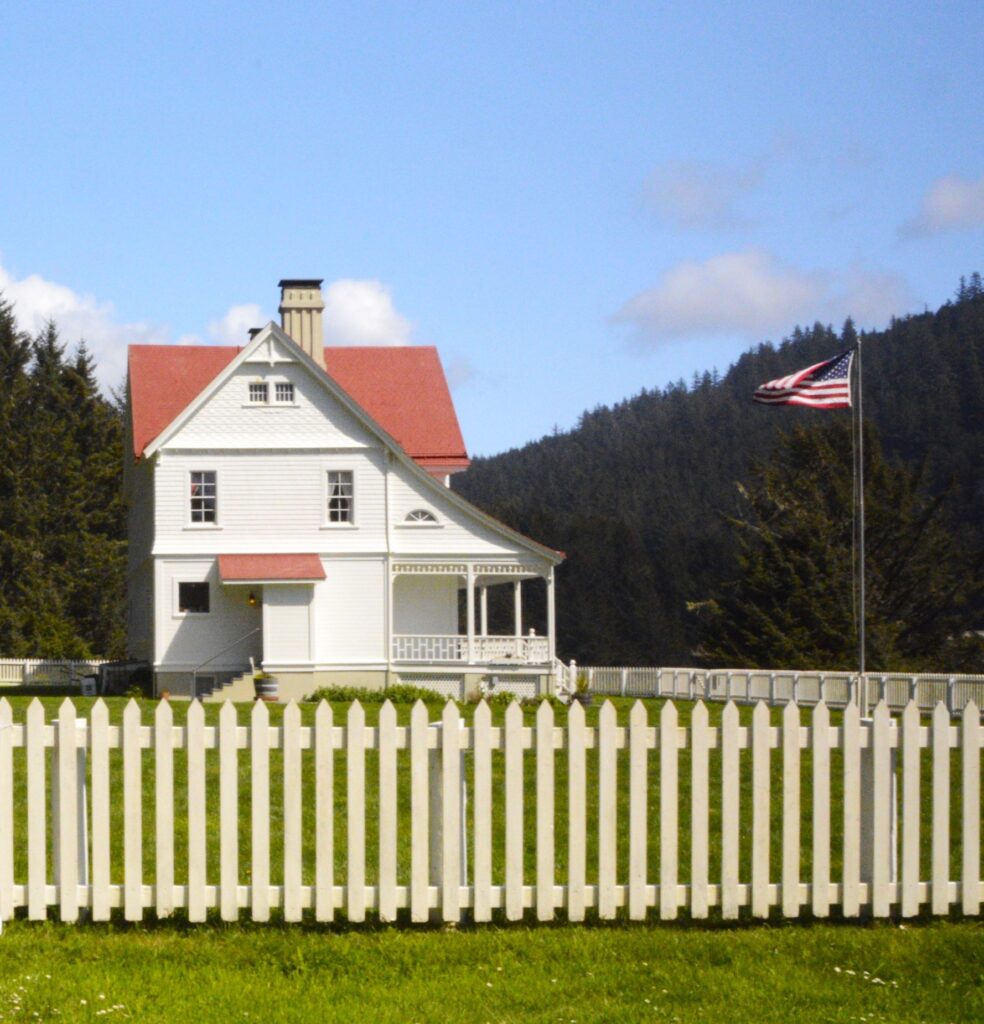
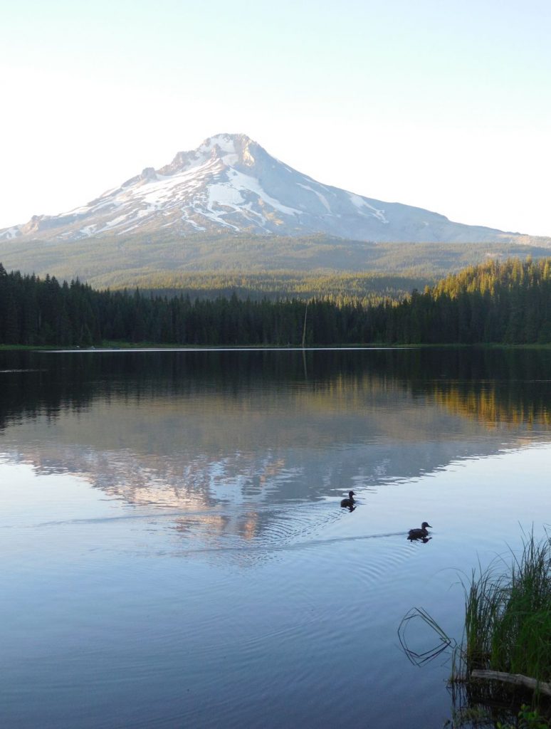
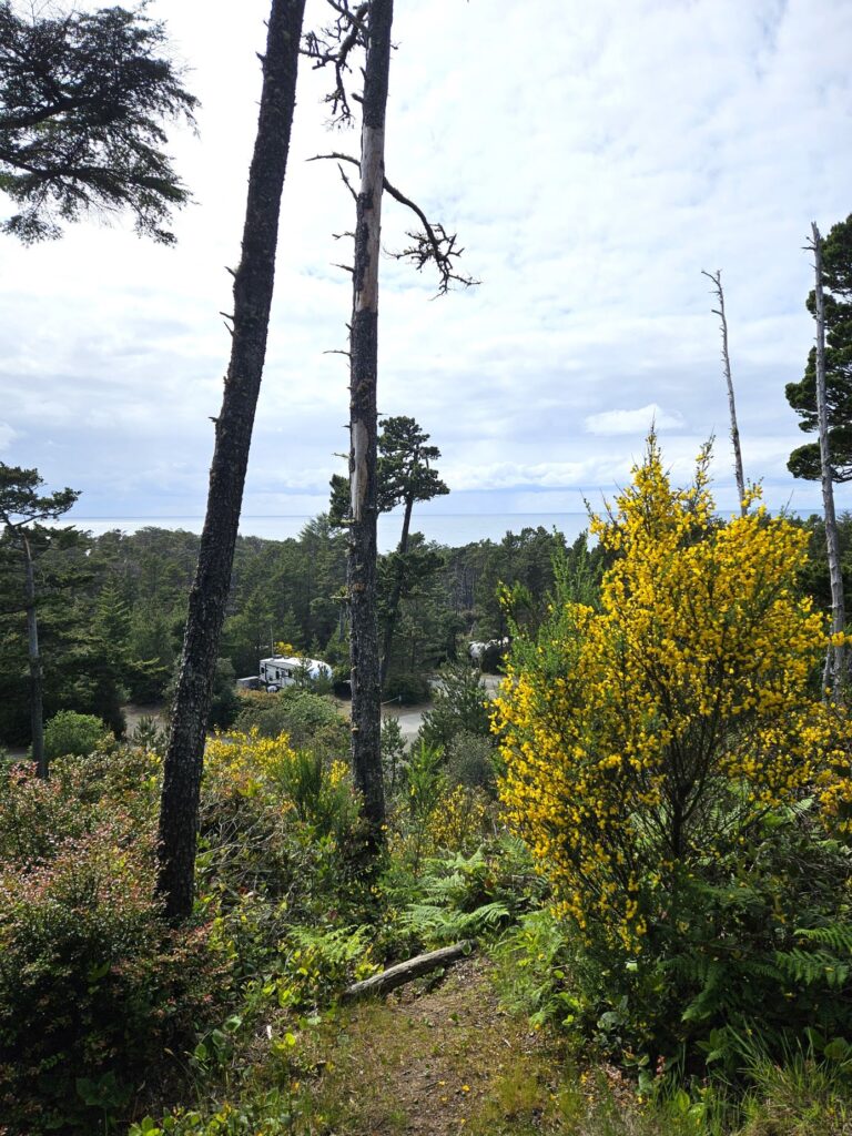
About three quarters of the way up the coast of Oregon lies Cloverdale, in Tillamook county where the Tillamook cheese factory is located. Cloverdale is dairy country, as you might have guessed. However, our campground happened to be close to the ocean. In fact, I could see the ocean when I climbed the hills on my walks around the campground.

View of ocean from campground

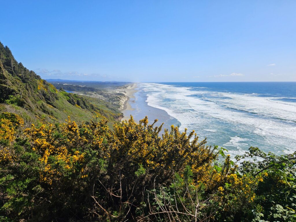
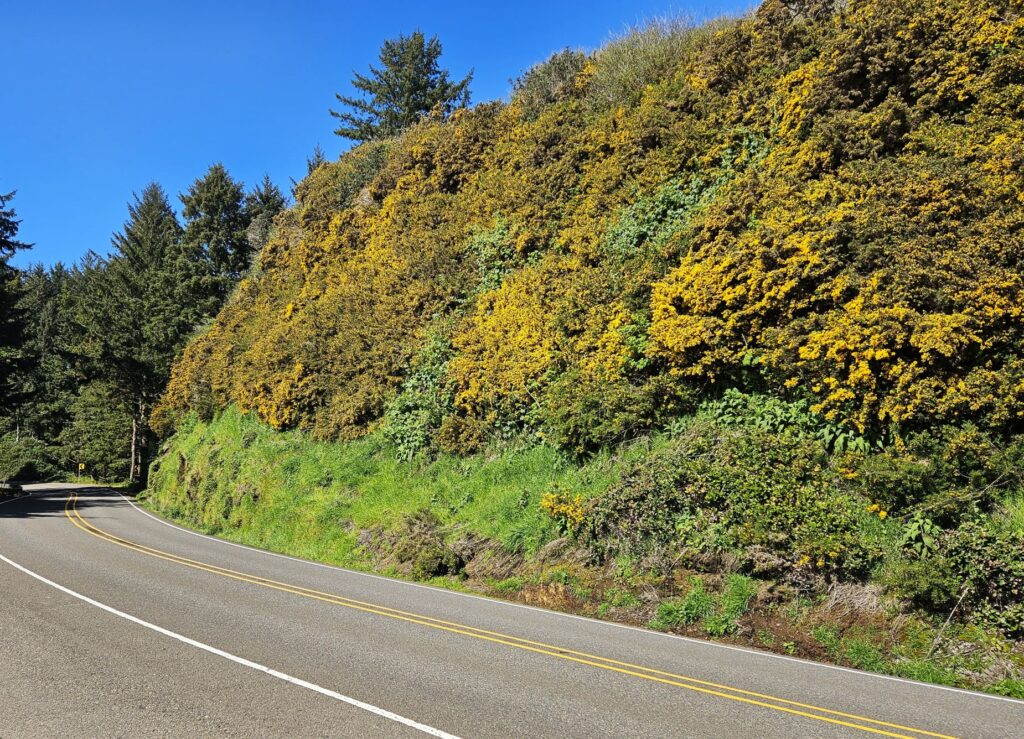
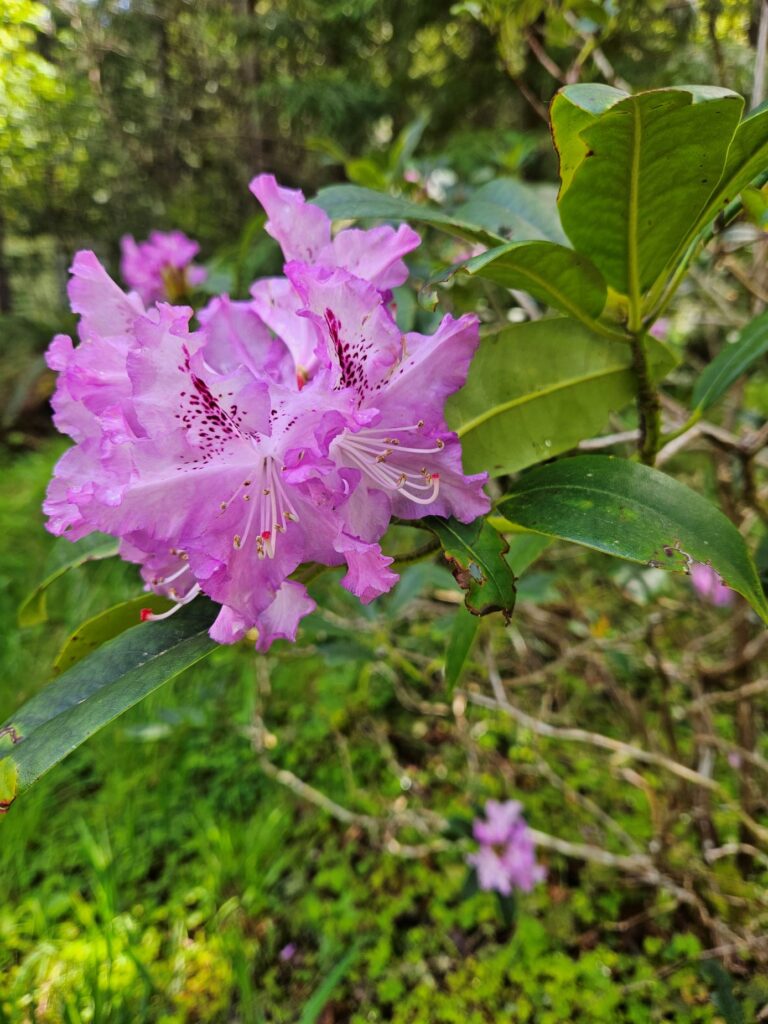
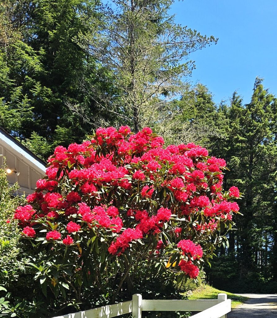
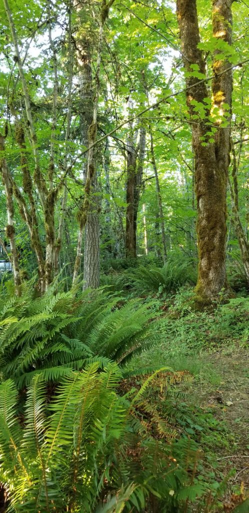
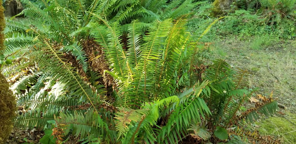
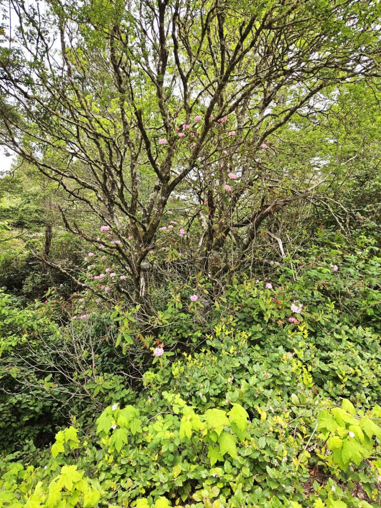
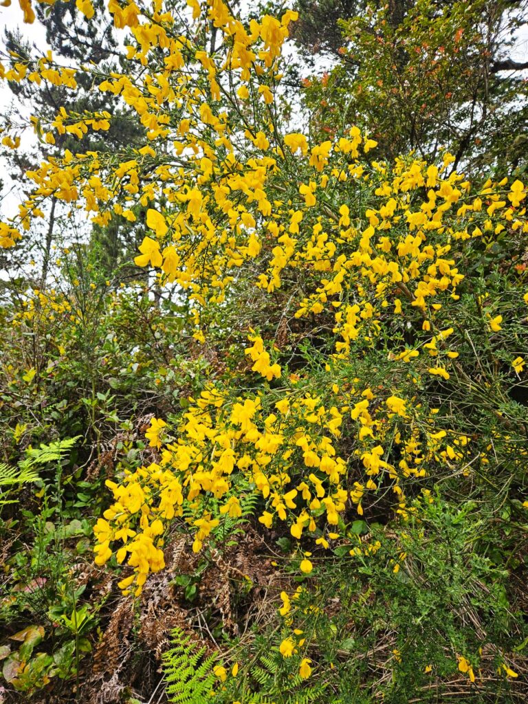
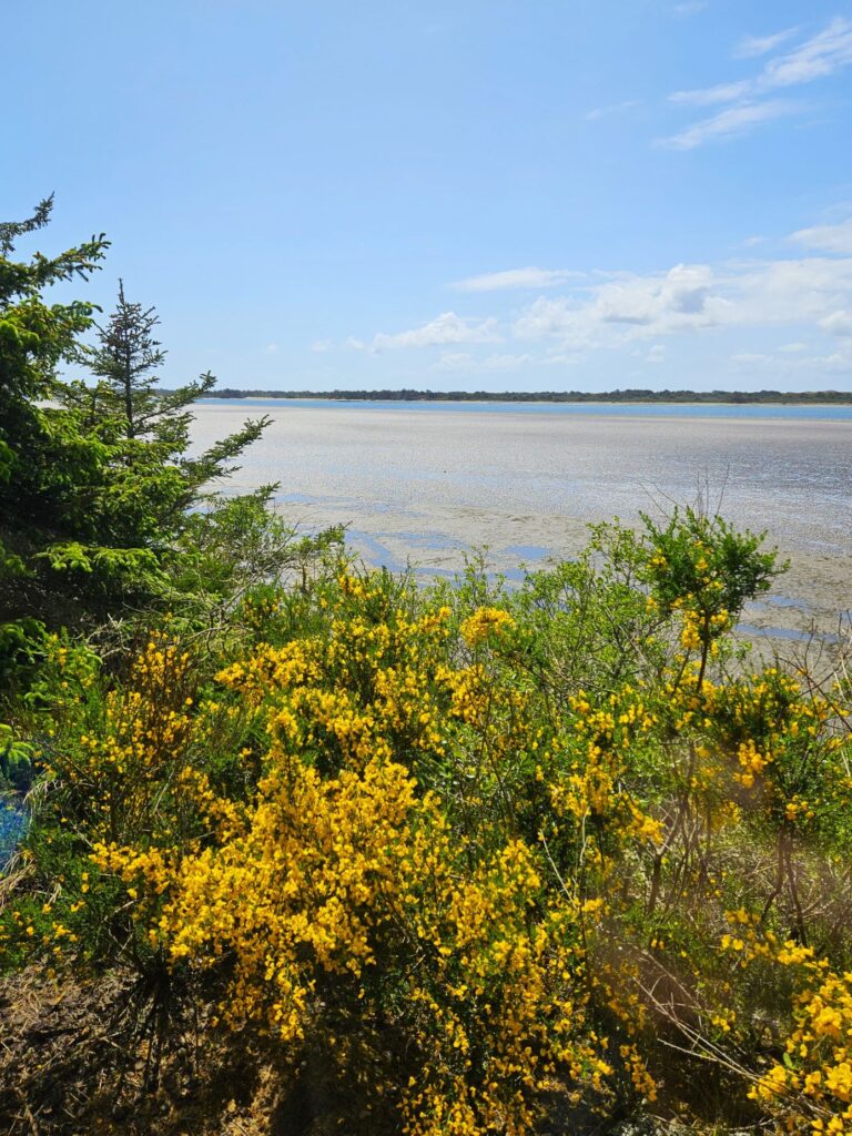
Wild rhododendrons grew throughout the campground, and yellow broom bushes were splashes of bright color that contrasted with the greenery.

Rhododendrons growing up in the tree.
Yellow Broom

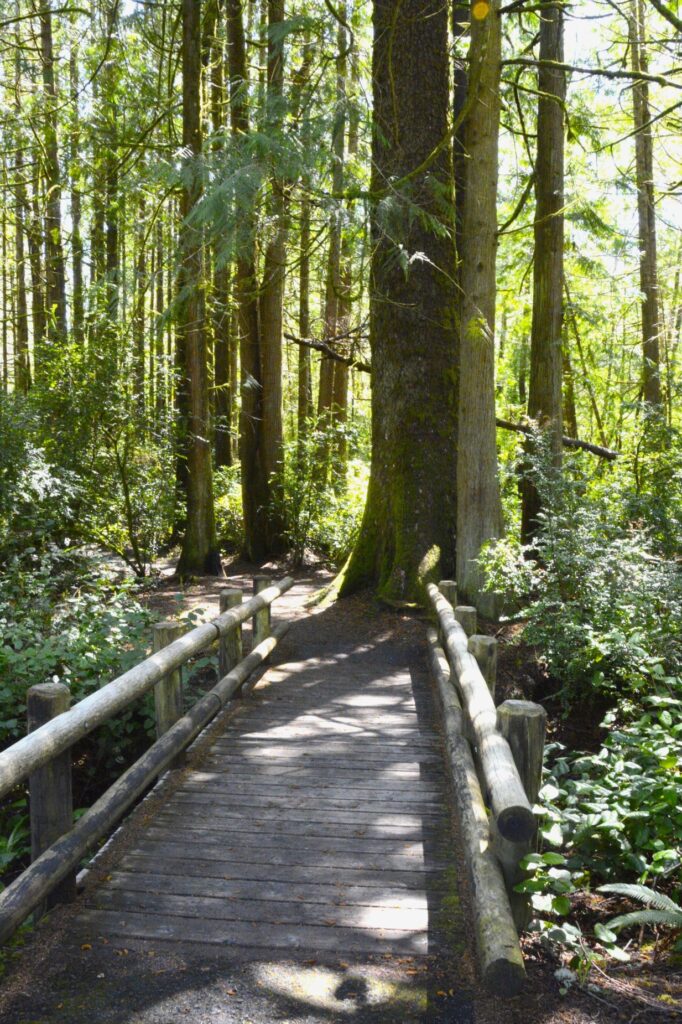
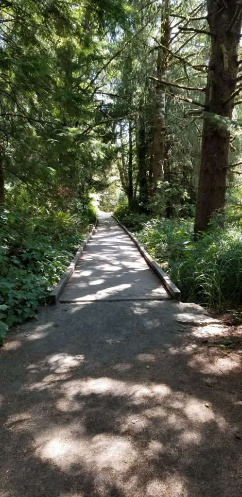
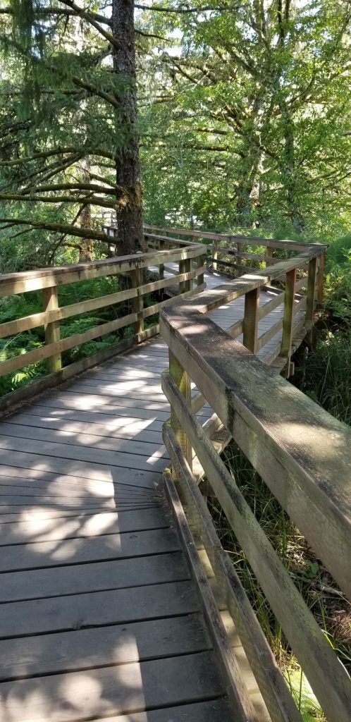
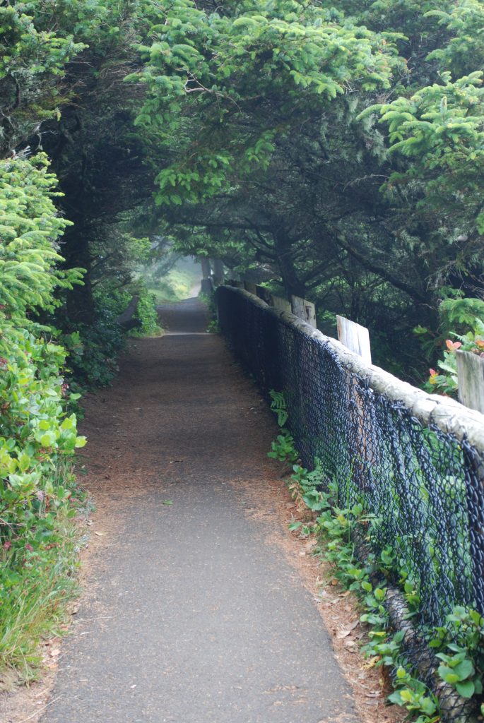
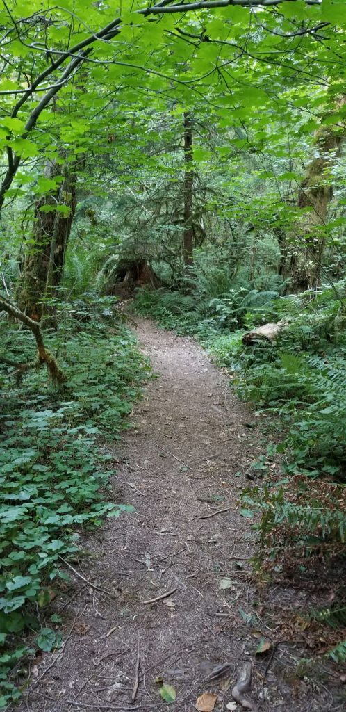
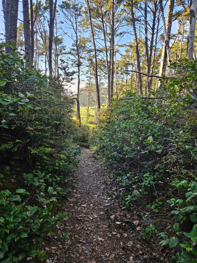
The campground had a trail that led to the ocean. It wound through the trees, across the road and down to the beach below. I followed it far enough to see the ocean and then turned back. I didn’t trust myself to go on alone. It was pretty steep, after all.

Pathway to ocean from campground
Pathway to ocean across from campground

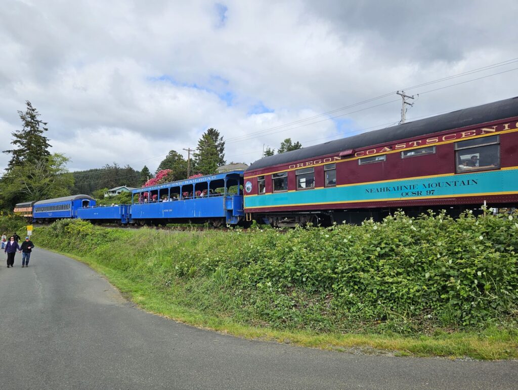
That week was Ray’s birthday. It was the perfect excuse to book rides for us on the historic Oregon Coast Scenic Railroad. This vintage train dated back to the early 1900’s. It was used to connect the coastal lands with larger inland cities like Portland.

Oregon Coast Scenic Railroad

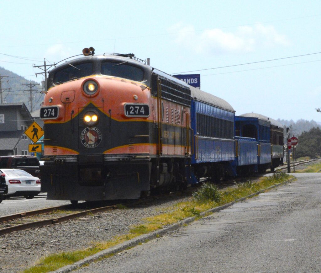
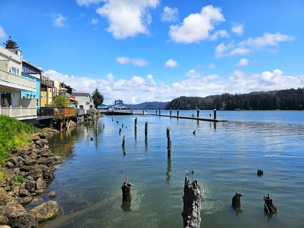
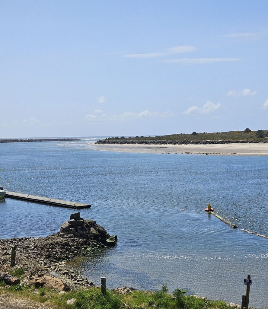
Our ride took us from the town of Rockaway Beach to the town of Wheeler. They are less than 10 miles apart by car. But by train, it took about an hour one way.

Tillamook Bay

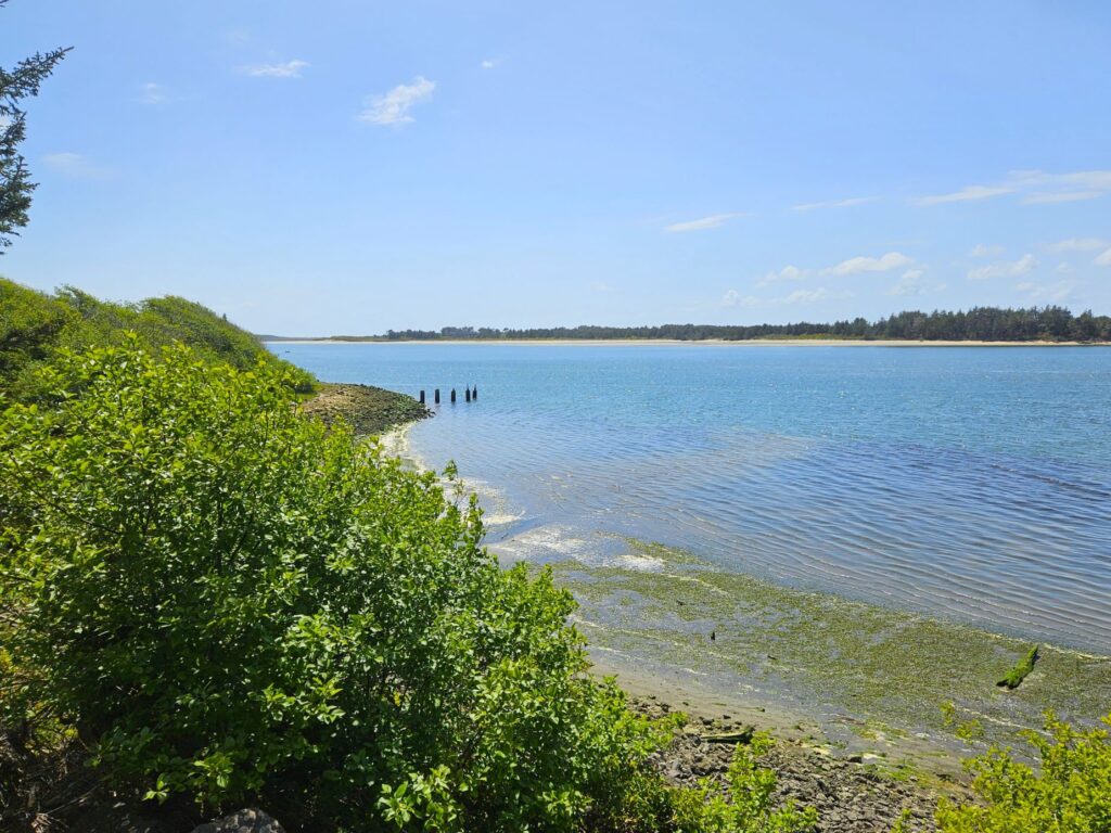
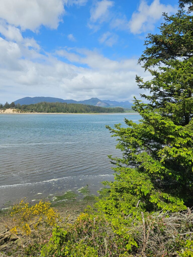
The route follows the shoreline of Tillamook Bay which is famous for its Dungeness crabs and bay clams. The clouds were hovering over the coastal mountain range threatening rain.

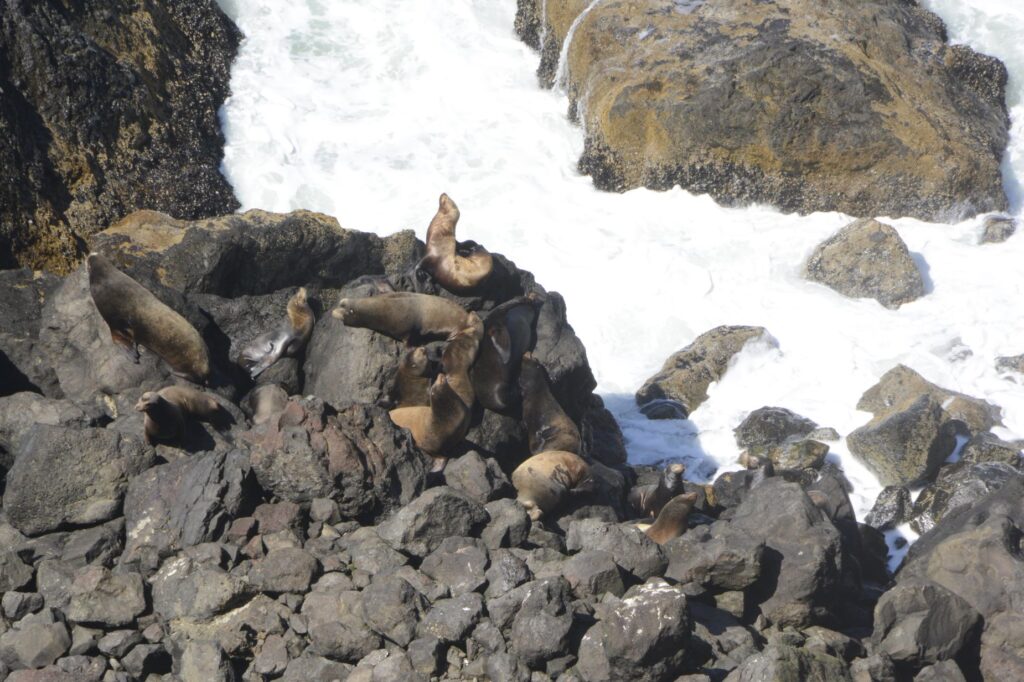
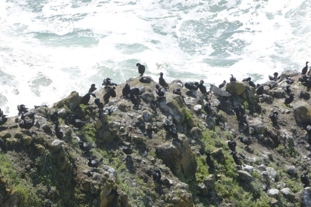
On the harbor beach was a large group of seals sunning themselves. You can just barely see them at the edge of the water across the channel.

Seals sunning on the beach across the channel.

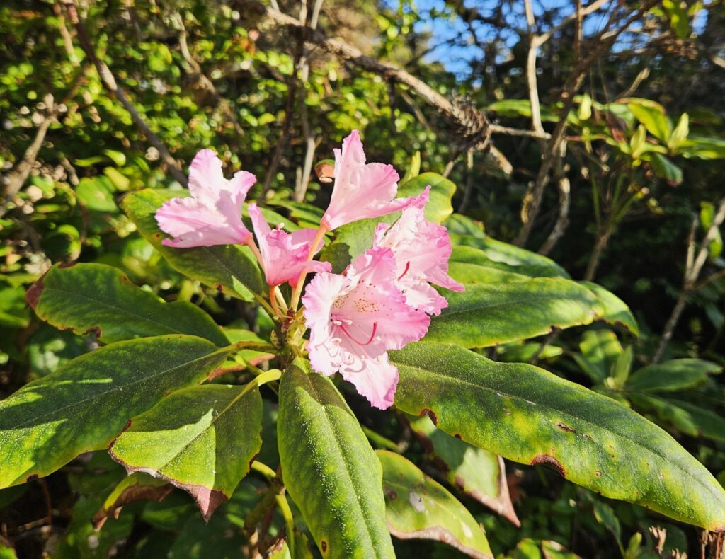
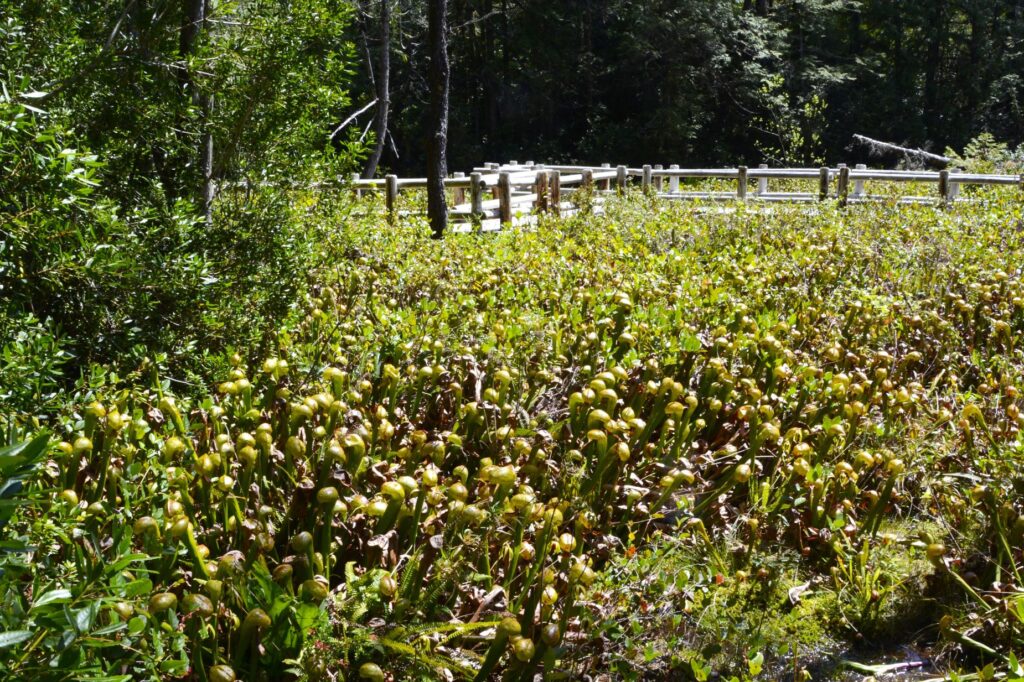
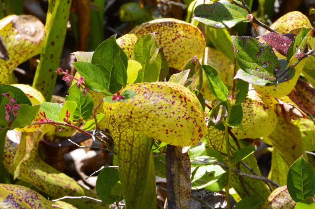
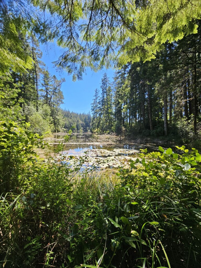
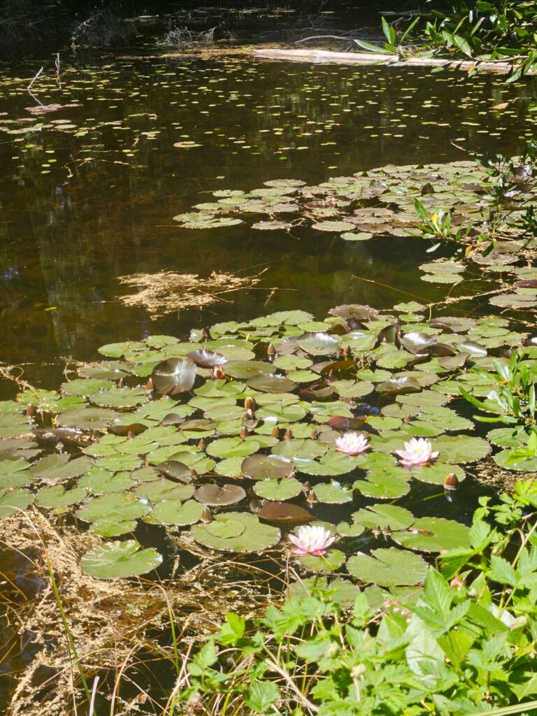
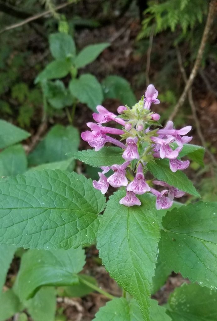
Being spring time, we saw plenty of wild flowers along the way. Much of the bay is a marshy bog which changes with the tides.

Yellow broom blooms along the edge of the bay.

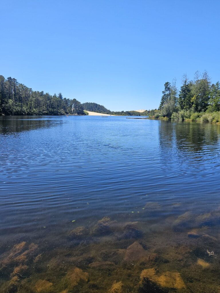
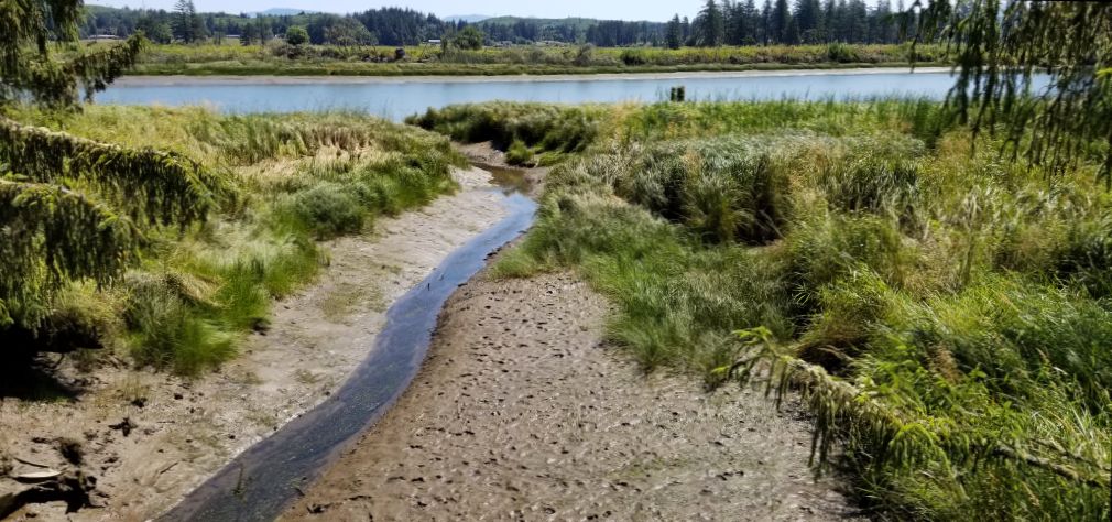
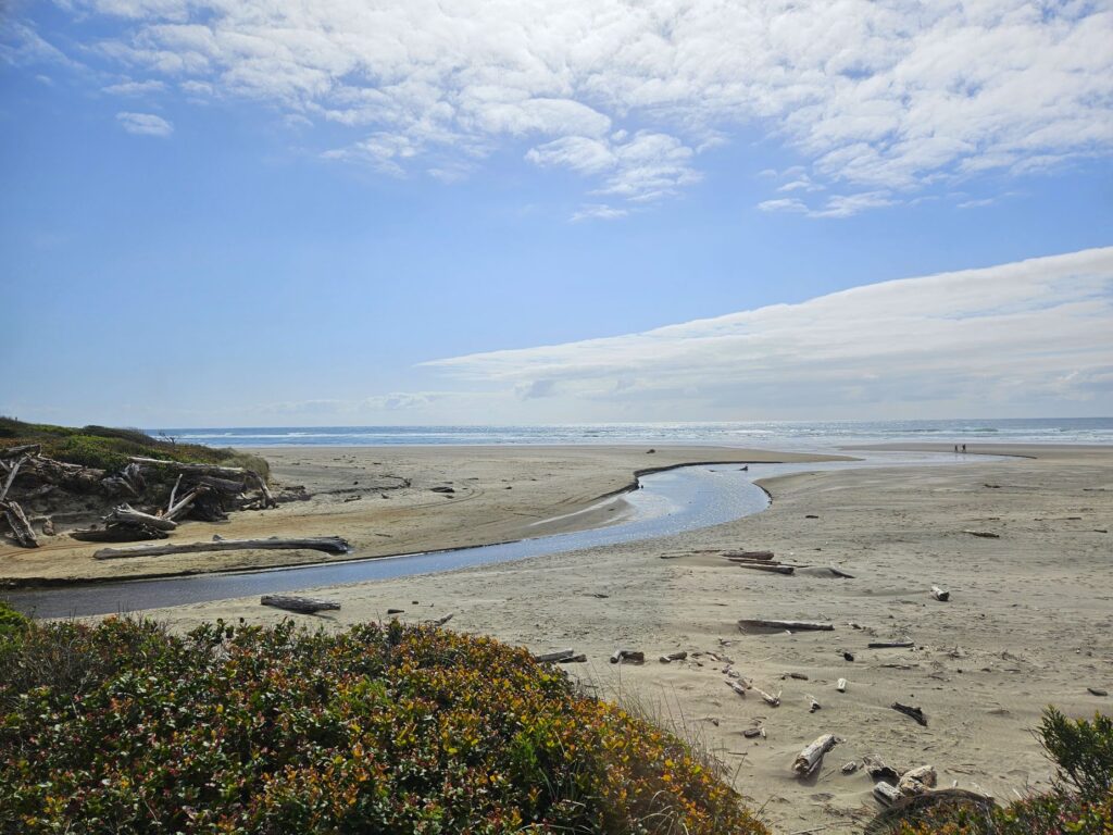
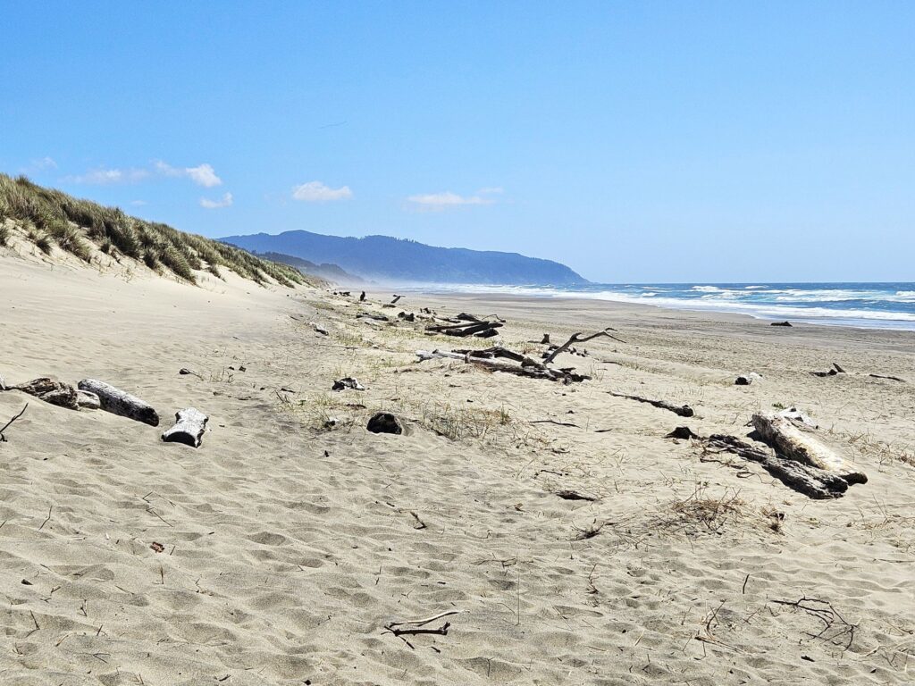
The bay has many fresh water tributaries like this one. Driftwood from the nearby forest litters the beaches.

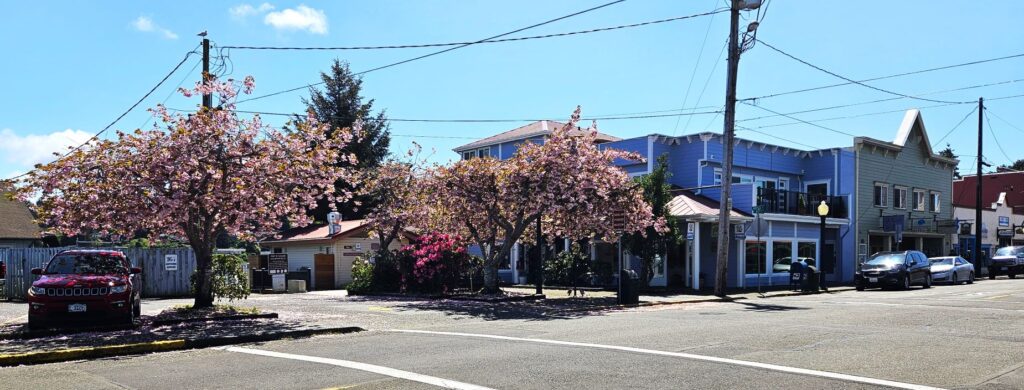
We had a 45 minute layover in Wheeler before our ride back to Rockaway Beach. I was looking forward to stopping at a little cafe. But oddly, the cafe closed right when the train arrived, and another food truck closed for the hour during our layover, only to open after the train left. You would think they would want our business. Maybe they were shorthanded. Who knows.

The only thing open that day was the antique store where we wandered around in a confusing maze of aisles. I didn’t buy anything. It’s easy to say “no” when there’s no room to store it.

Layover in Wheeler on the Oregon Coast Scenic Railroad

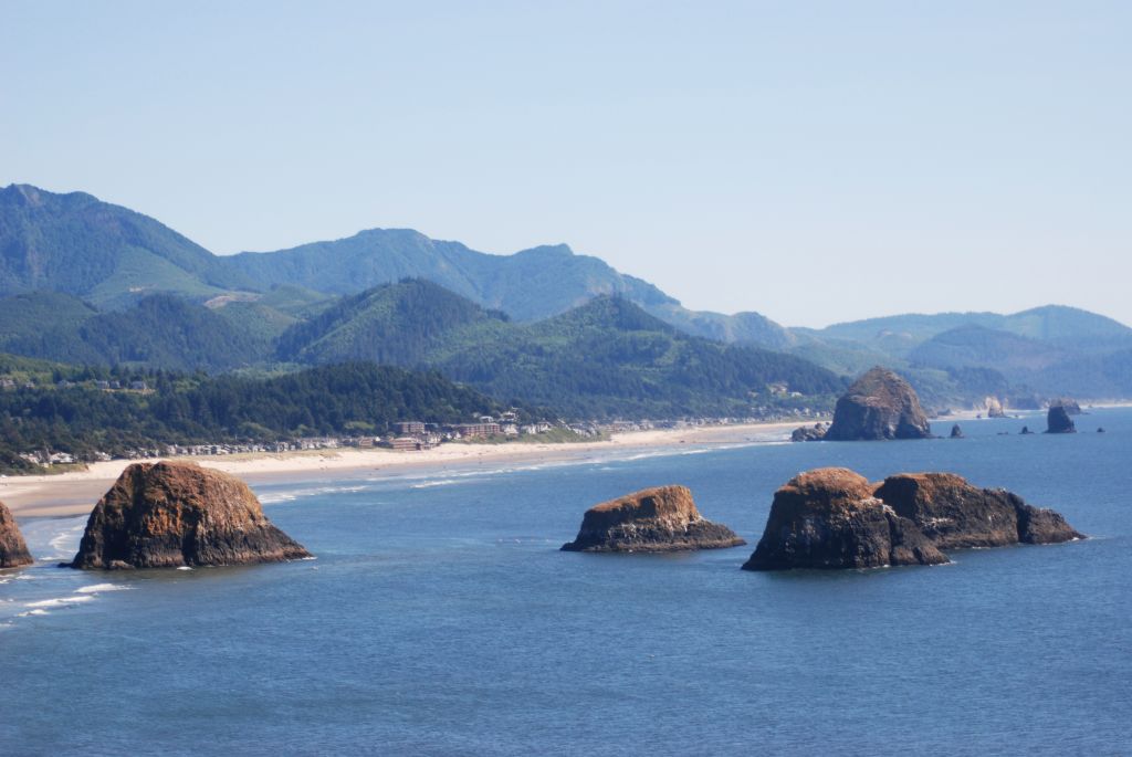
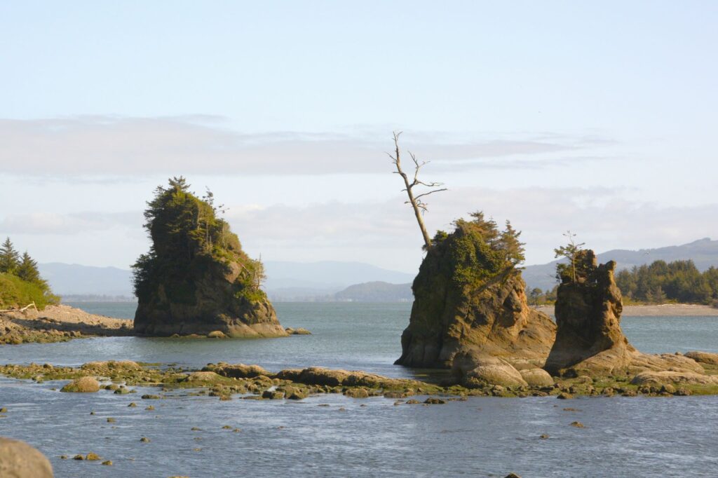
We had a nice relaxing afternoon on the train. On the way home, we saw these interesting rocks with trees growing on them. I wondered if this could be how “Rockaway Beach” got its name.

Later in the week, we visited the Tillamook Air Museum located near the town of Tillamook. I have to say, we didn’t have any trouble finding it.

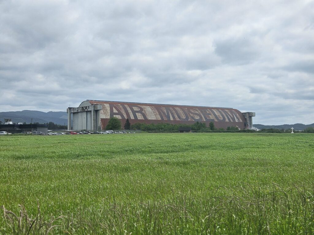
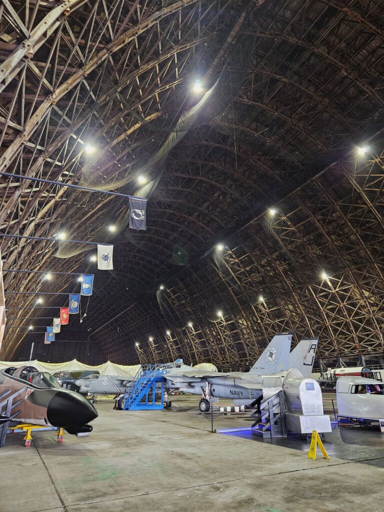
This huge hangar was used during World War II to house up to eight blimps. The blimps were used for various war purposes. Today, the museum houses several planes and displays.

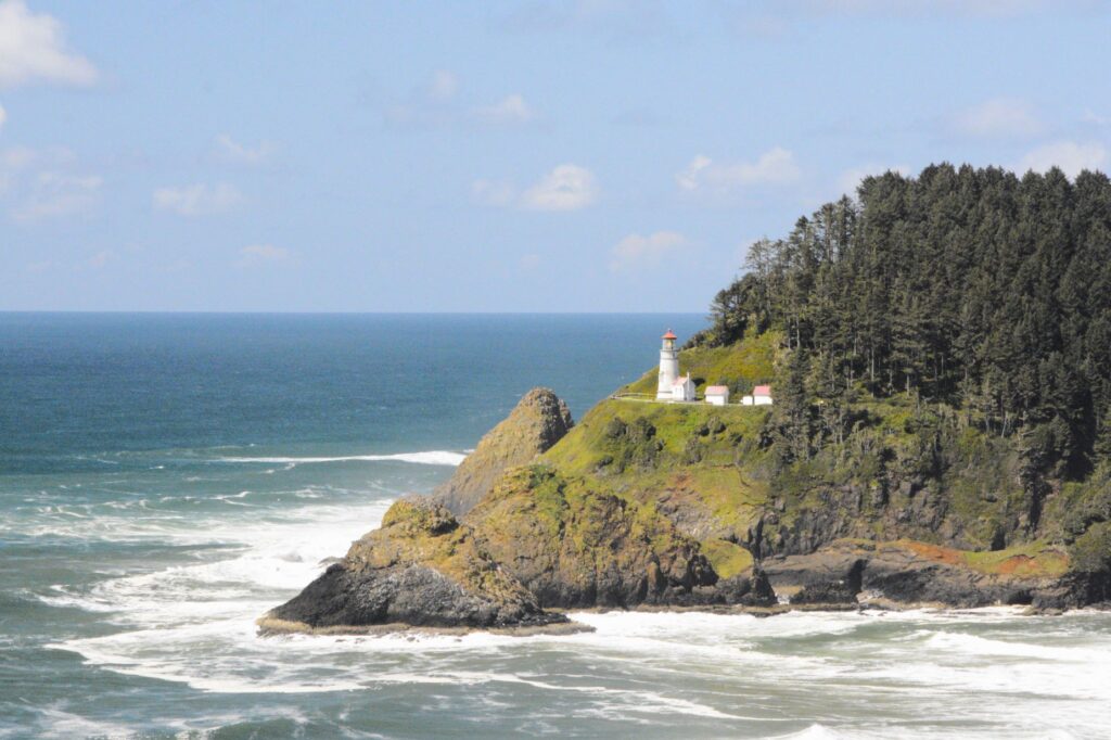
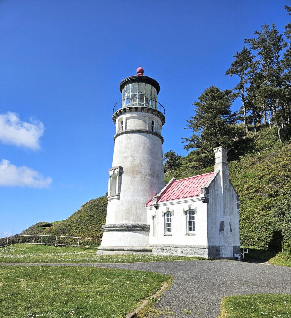
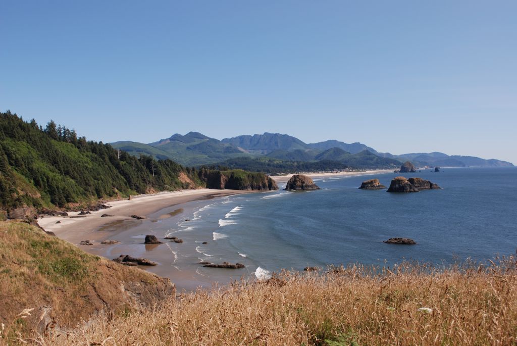
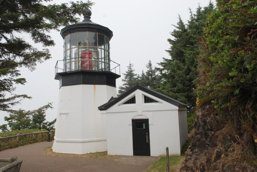
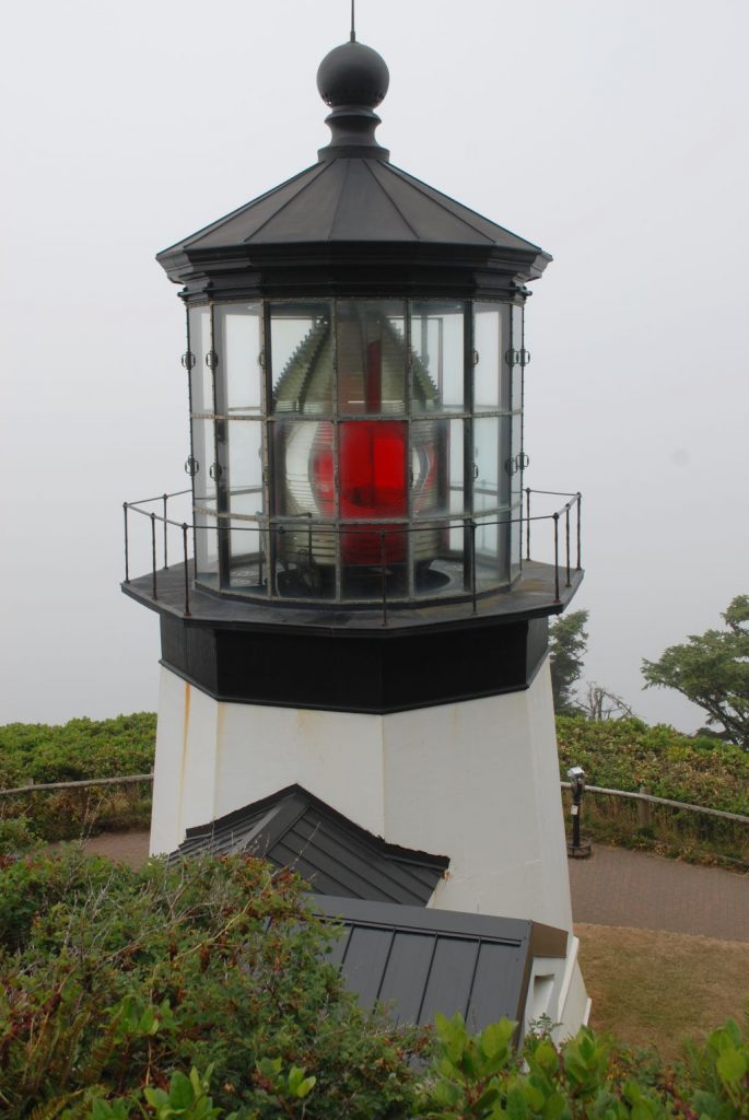
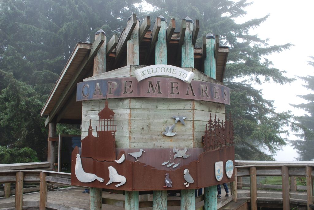
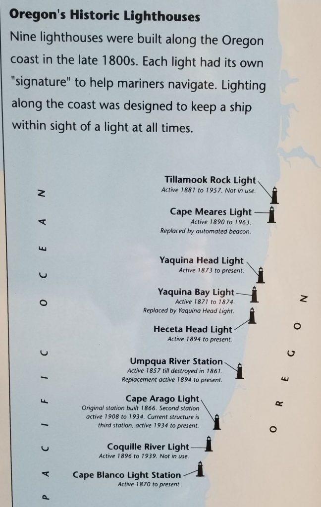
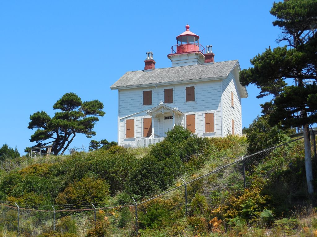
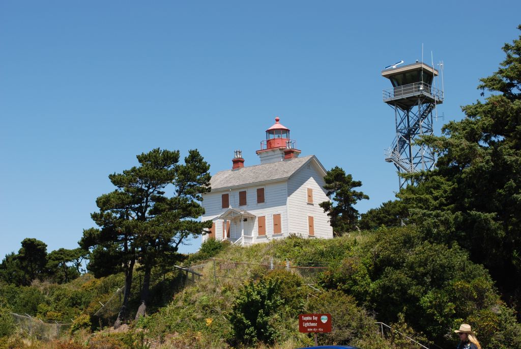
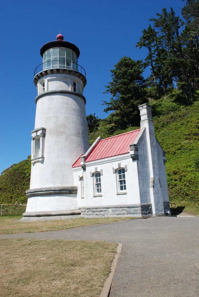
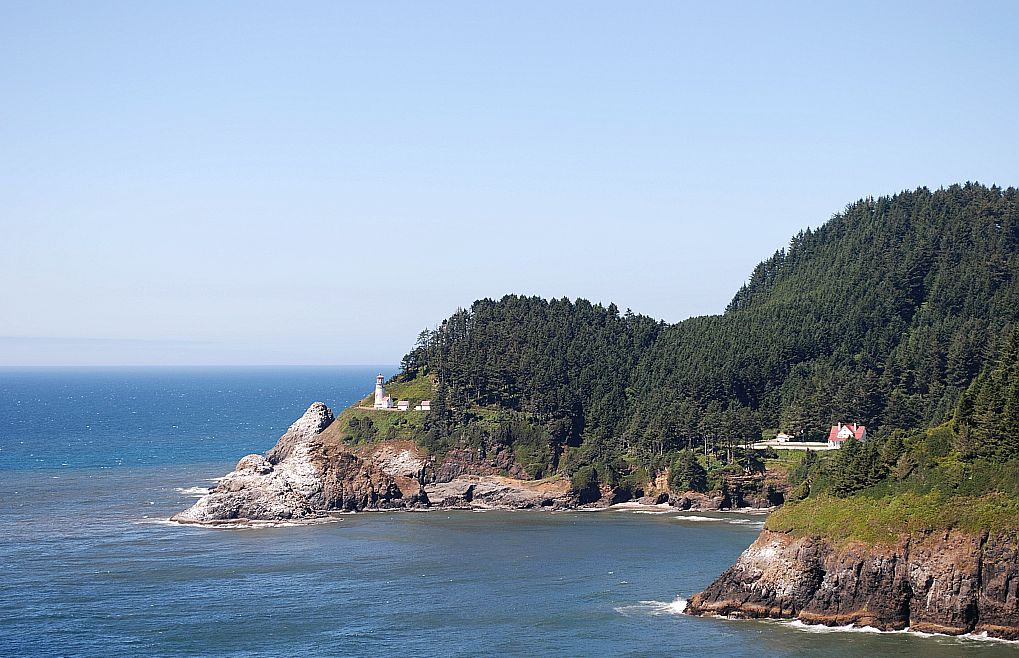
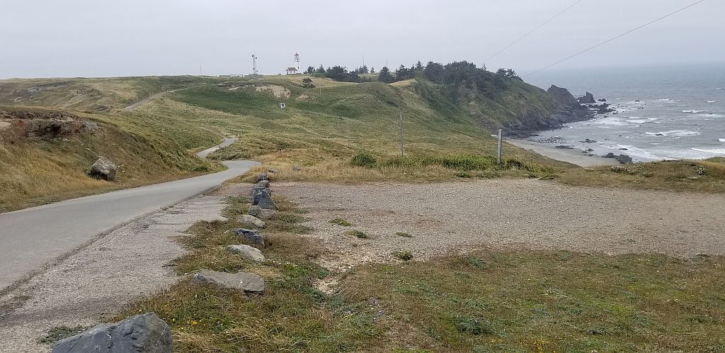
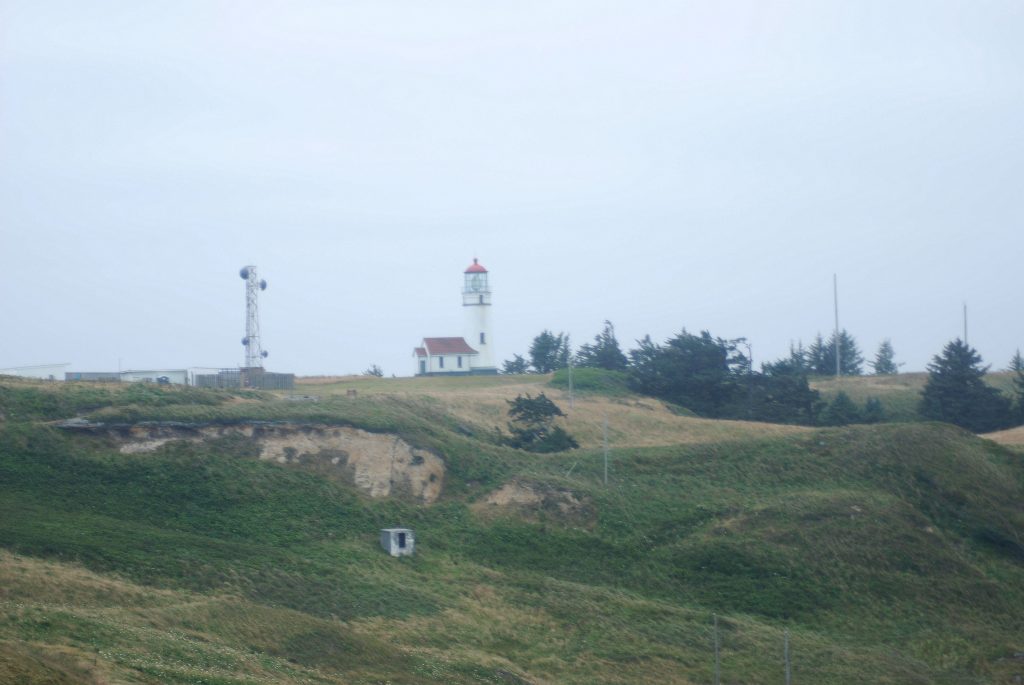
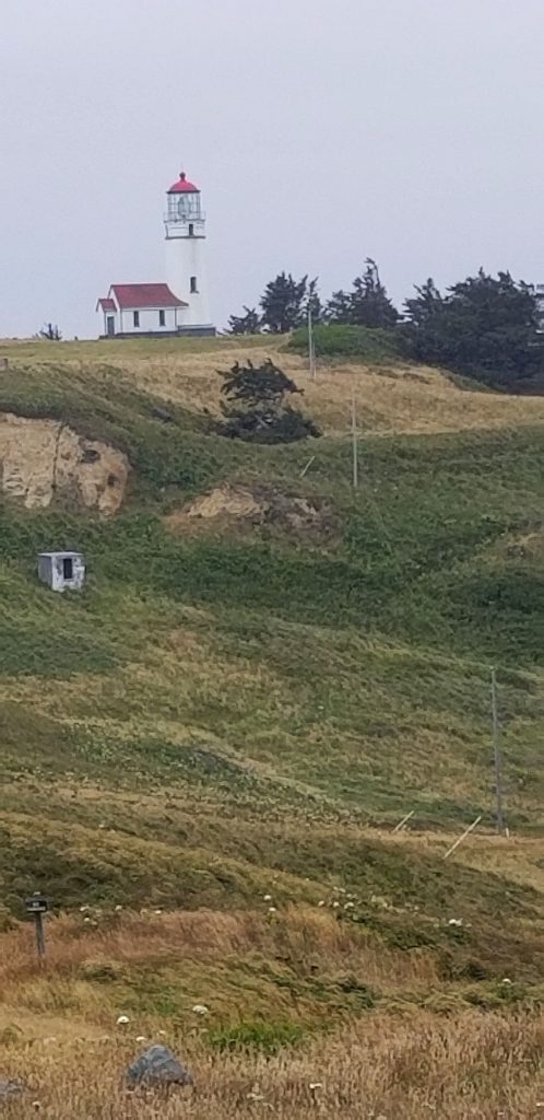
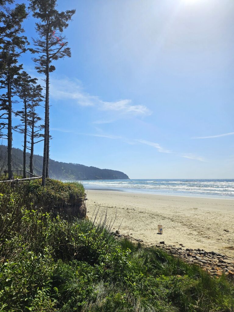
While we were in Tillamook, we looked for Cape Meares Lighthouse, which we have visited previously. We must have taken a wrong turn somewhere. We never found it. Instead, we found this nice state park called Cape Lookout.

Cape Lookout State Park

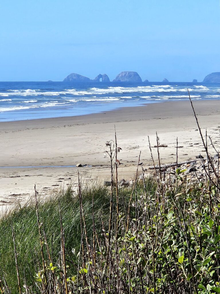
Looking down the beach the other direction, I saw Three Arch Rocks which is a National Wildlife Refuge. It looked interesting, but we didn’t pursue visiting it that day. We don’t mind leaving some places for future explorations.

Three Arch Rocks Natural Wildlife Refuge in the distance

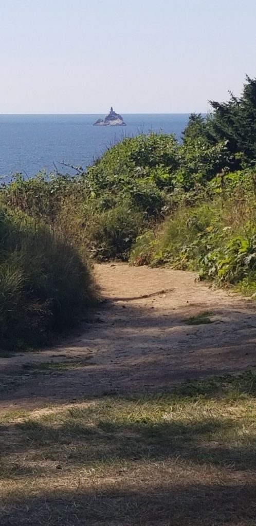
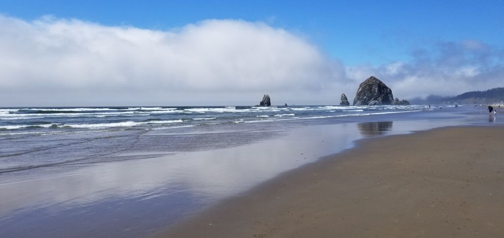
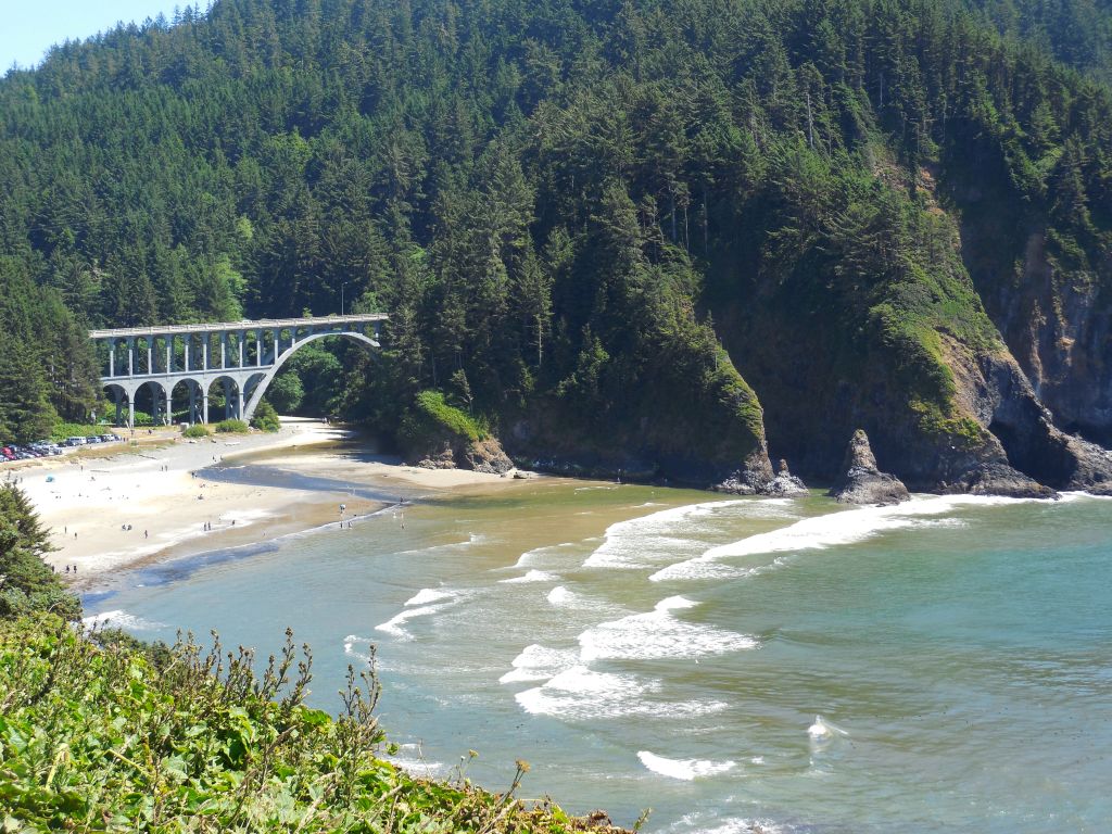
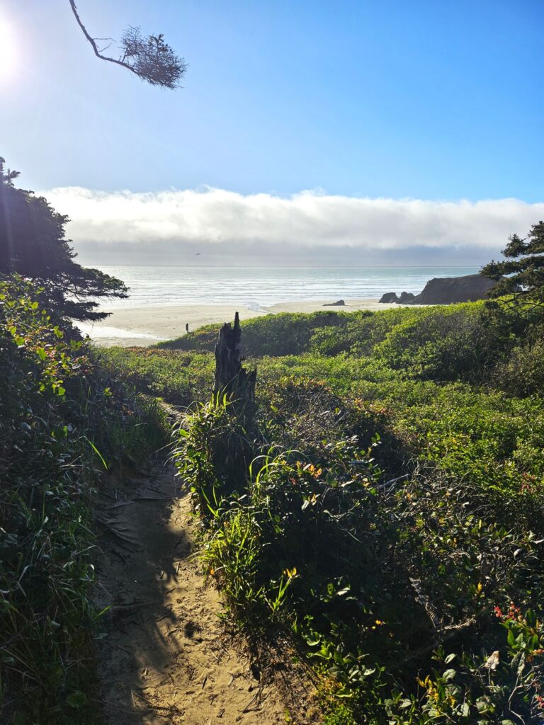
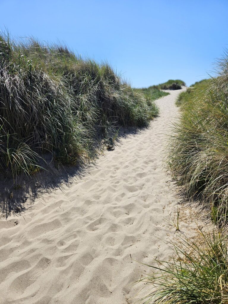
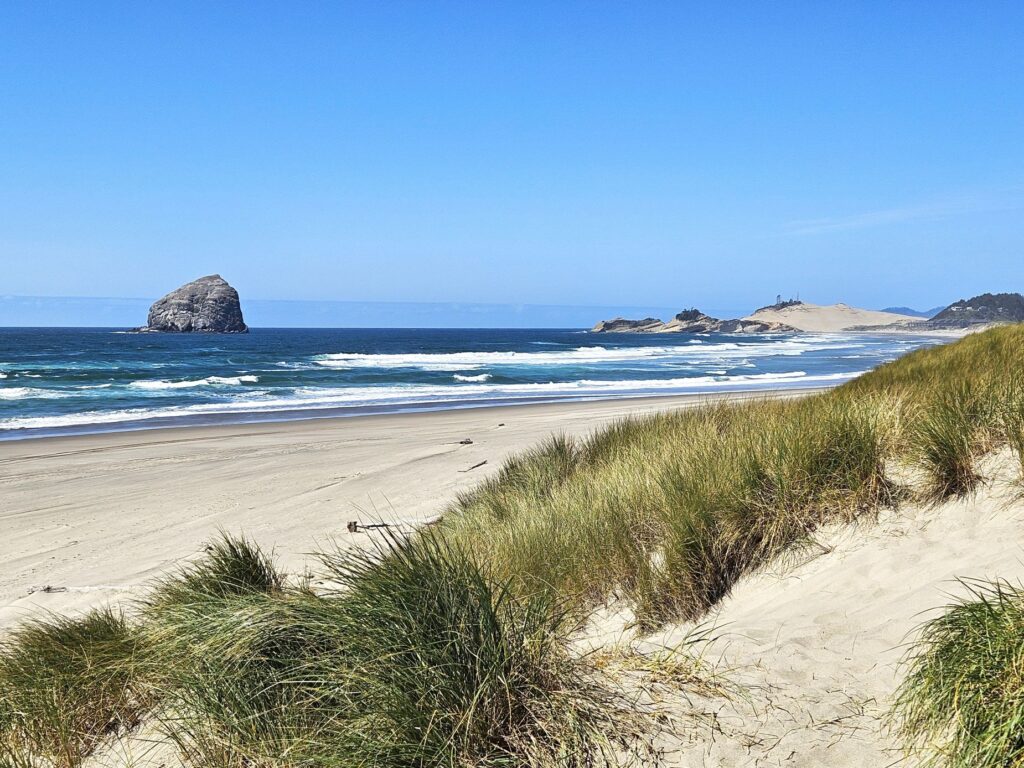
On another afternoon, we went to Bob Straub State Park and walked up this path to the beach. Walking up a steep hill in the sand wasn’t easy, but the views on the other side were worth it.

Bob Straub State Park
The beach at Bob Straub State Park
Beach at Bob Straub State Park

We enjoyed our time on the Oregon Coast. We never made it to the Tillamook Cheese Factory. Sometimes there are just too many things to see and not enough time to see it all.

“You [God] are mightier than all the breakers pounding on the seashores of the world! Psalm 93:4”

Oregon Central Coast

About halfway up the coast of Oregon is the little town of Florence. The approach from the south crosses the Siuslaw (Sigh-YOO-slaw) River on an historic draw bridge which is still in use today. Amazingly, Oregon has over 200 historic bridges. Many of the ones along the coast were designed by Conde McCullough. His bridges are not just functional, but architecturally elegant. I love how each bridge is so unique in design.

Siuslaw Draw Bridge

Near the bridge is Old Town Florence, situated along the riverbank.The old pilings have now become landing places for birds of all types.

We walked along Bay Street, along the river. It has many interesting small shops and restaurants. We got some chocolate-covered toffee in a little candy store and strolled under the Japanese Cherry trees that were in bloom.

At the end of Bay Street is a small city park with a view of the Siuslaw Bridge. In the park are storyboards of native plants, birds and the history of the Siuslaw Bridge, as well as this painted seal. Other painted seals can be found throughout the city.

Later, we drove north along Highway 101. The Sea Lion Caves are a popular attraction for visitors. They are the largest sea caves in the USA. However, it’s a tourist trap and a little pricey, so we drove further north and saw some sea lions at one of the roadside viewpoints for free.

Sea Lions bask on rocks below Heceta Head Lighthouse viewpoint

At the same place, we saw hundreds of birds on the rocks.

Bird colony on rocks near Heceta Head

The gorse bushes were in full bloom. Whole hillsides were yellow with their blooms.

Gorse bushes in bloom on hillside

From this roadside view point, we could see Heceta Head Lighthouse. This is one of my favorite Oregon lighthouses because of this view.

Heceta Head Lighthouse from Highway 101 turnout

To get to the lighthouse on Highway 101, you go through a tunnel (Arch Cape Tunnel) and over another historic bridge (Cape Creek Bridge). There is a side road leading down and under the bridge to the beach area and parking lot.

Cape Creek Historic Bridge
Beach at Cape Creek near parking lot for Heceta Head Lighthouse

This large rock held my attention for several minutes as I enjoyed watching the waves crash against the sides. Walking up the pathway to the lighthouse, I got a better view from above.

Heceta Head Lighthouse is one of several lighthouses along the rocky Oregon coastline. Built in 1893, its light is visible for twenty-one miles. It was built to fill in a ninety mile gap between two other lighthouses.

Heceta Head Lighthouse

After the lighthouse was automated and the lighthouse keepers moved away, the lighthouse keepers’ duplex was leased by Lane County Community College for classrooms for a satellite campus starting in 1970. They removed a wall separating the two dining rooms to make a classroom area. The students slept on bunk beds in the second story rooms. Imagine being a student and enjoying the Oregon Coast while taking classes!

Lighthouse keepers’ duplex

One of the pleasures of traveling in Oregon during the spring is seeing all the beautiful flowers in bloom. Pacific Rhododendrons grow wild and come into bloom in April and May. Florence, Oregon, has an annual rhododendron festival. There were one or more in just about every campsite in our campground in Cloverdale, Oregon. They like disturbed habitats such as roadside embankments and recently deforested wildlands.

Pacific Rhododendron

Azaleas are also plentiful and have beautifully colored blooms. Azaleas are rhododendrons, but not all rhododendrons are azaleas. I admit, I can’t tell the difference.

Azaleas in bloom in Cloverdale, Oregon
Azaleas were abundant in our campground in Cloverdale, Oregon

Another day while in Florence, Oregon, we drove a few miles out of town to Darlingtonia State Natural Site. It is an 18-acre botanical park with a boardwalk trail to a fen that is home to the plants called Darlingtonia Californica. They are more commonly known as a cobra lily.

Boardwalk to cobra lilies

These strange plants are members of the pitcher plant family, i.e. insect-eating plants. They attract insects with nectar through an opening. Before the insect figures out what is happening, they are trapped. Then they are digested by the plant.

They are fascinating plants and are protected by the state of Oregon.

Cobra lilies get their name from their cobra shaped leaves.

It rained so often that when the rain stopped, it was nice to get out in the sunshine. One such day, we took a short hike around part of Lily Lake in Jessie M. Honeyman Memorial State Park, a mile or so from our campground. You can see the sand dunes in the background.

Lily Lake

The water was clear and cold. As we walked on the pathway around the edge of the lake, we came to a boggy area where water lilies grew. Some of them were in bloom. I wanted to take photos of them, but there was a huge spider web blocking my way. Ray got a stick and removed it so I could get my photo. I felt sorry for destroying the spider’s home, but there was no way I was going to lean over it to get a photo.

Lily pads on Lily Lake
Blooming lilies on Lily Lake

The sun was hot and the bugs were abundant, so we turned around and went back home. Even though it rained a lot, we enjoyed our visit to Florence, and the central coast of Oregon.

“O Lord, what a variety you have made! And in wisdom you have made them all! The earth is full of your riches. There before me lies the mighty ocean, teeming with life of every kind, both great and small.” Psalms 104:24-25

A Museum and a National Historical Park

July, 2021

Columbia River Maritime Museum

While we were staying in Seaside, Oregon, we went to The Columbia River Maritime Museum in Astoria, Oregon. As we entered the museum, we saw a large map of the shipwrecks at the mouth of the Columbia River.

Map of shipwrecks in the “Graveyard of the Pacific”, Columbia River Maritime Museum.

We watched a 3D surround sound documentary of “Aircraft Carrier–City at Sea” in the Theater. Then we wandered around the exhibits and learned about the extreme conditions of the Columbia River Bar, the U.S. Coast Guard and the Columbia River Bar Pilots.

U.S. Coast Guard Rescue display at Columbia River Maritime Museum.
Display in Columbia River Maritime Museum.

The museum tells the history of the Columbia River from the times of the Indians and their dugout canoes to the present day. The museum is very expansive and takes 2 or 3 hours to see everything. We took a break for lunch and walked across the street to a food truck to get lunch and then came back to see more.

Outside the museum is docked the Lightship Columbia, a National Historic Landmark. It is an actual lightship that used to guide ships to safety at the mouth of the Columbia River. I was able to go aboard and see the sailors living quarters. The lightship is a floating lighthouse manned by a crew of 17 men working two to four week rotations, with 10 men on duty at a time. It was in use from 1951 to 1979.

The Columbia Lightship–part of The Columbia River Maritime Museum.

We learned at the museum that ships today must have a specially trained pilot to guide them through the mouth of the Columbia River where it meets the Pacific Ocean. This pilot will come aboard their ship and guide the ships through the treacherous waters and sand bars at the mouth of the river. We saw several large cargo ships waiting their turn.

Cargo ships on Columbia River await their turn to go through the dangerous waters at the mouth of the Columbia River.

Lewis and Clark Natl. Historical Pk.

Lewis and Clark have always been two of my favorite explorers ever since I read “Streams to the River, River to the Sea” by Scott O’Dell. The story of their amazing adventure is told in part at the Lewis and Clark National Historical Park near Astoria, Oregon, off Highway 101. Besides having another national park to check off of our list, it gave us a day of learning about the history of our country and some exercise as we hiked the trails near the visitor center.

We stopped at the Visitor Center where we saw a short film about the story of the winter fort of the Lewis and Clark Expedition in1805 – 1806. They named it Fort Clatsop after the nation of Indians who resided nearby.

Replica of Fort Clatsop, the winter fort of the Lewis and Clark Expedition.
Inside Fort Clatsop
Sleeping quarters inside Fort Clatsop.
Room inside Fort Clatsop

At the fort we watched a demonstration of the loading and shooting of a black powder rifle.

We walked down a pathway to the place on the river where Lewis and Clark could possibly have docked their dugout canoes.

Pathway to river access.
Boardwalk to river.
River access.

Lewis and Clark National Historical Park actually has several different site locations. Many of the other sites are only minutes away. We decided save some of those different locations for another visit at another time. In all, we had an enjoyable day visiting this park.

Seaside, Oregon

It was just a short drive north on Highway 101 from South Beach to Seaside, Oregon, where we stayed in another Thousand Trails RV Resort called Seaside RV Resort. We had to backtrack south to see the Tillamook Lighthouse which is not really near Tillamook. It was really only a few miles south of Seaside, Oregon.

The Tillamook Lighthouse is on an island. It was quite windy and hazy making it hard to get a good photo.

Tillamook Lighthouse, Tillamook, Oregon

The view from the Tillamook lookout was beautiful. If you look carefully, you can see Haystack Rock.

Scene from Tillamook Lighthouse viewpoint.

In this closer view Haystack Rock is in the distance. Later, we drove to Canon Beach where I got a closer look. Haystack Rock is home to many birds who make their nest in the nooks and crannies of the rock, even burrowing into the dirt to make their nests.

Haystack Rock in the distance at Canon Beach, Oregon.
Haystack Rock

When the tide is out, many people like to explore the tide pools around the rock.

Haystack Rock

A long drive south to Tillamook took us closer to Cape Meares Lighthouse. The road there is very narrow and windy, but we finally found the end.

There are two pathways to the lighthouse. It was windy and very misty. We opted for the pathway through the trees. The air was so moist, the trees “rained” on us as the moisture collected on the leaves and foliage.

Pathway to Cape Meares Lighthouse.
Cape Meares Lighthouse

Although Cape Meares Lighthouse is the shortest lighthouse on the Oregon Coast, it put out a powerful beam that could be seen twelve miles out at sea. Each lighthouse had its own signature beam of light. Cape Meares was 30 seconds of fixed white light from the primary lens followed by a red flash of five seconds from the bull’s-eye lens once every minute.

Cape Meares Lighthouse
Cape Meares Lighthouse information booth.

The photo below shows the nine historic lighthouses on the Oregon Coast and whether they are still active.

With the cold windy weather, we were glad to get back to our truck to get warm.

Oregon Lighthouses

July 2021

We stayed in South Beach, Oregon (near Newport, OR) for twelve days in Thousand Trails Whaler’s Rest RV Resort. My goal was to see and photograph as many lighthouses along the Oregon coast as I could.

Our campground was just a short distance away from the beach, but because of the thick trees and bushes and Highway 101 in between, it wasn’t an easy access. The weather was cloudy and overcast in the mornings. By noon, however, the sun was shining. So that’s when we decided to go looking for lighthouses.

Our first lighthouse and my favorite, (Yaquina Head) was close to Newport just a few miles from the campground. It was easily accessible and very easy to photograph. We saw some sea lions sunning themselves on the rocks below.

Yaquina Head Lighthouse near Newport, Oregon.
Yaquina Head Lighthouse, Newport, Oregon.

Near Yaquina Head Lighthouse is Yakina Bay Lighthouse. We visited it after all the other lighthouses on another day, but I include it here because it is in order going south on Highway 101. This one was a bit of a disappointment because the shutters were all closed over the windows making it look boarded up. There was a fence around it and an ugly tower next to it.

Yakina Bay Lighthouse

While we were there at Yakina Bay Lighthouse, we got a good view of Yakina Bay Bridge.

Yakina Bay Bridge

Our next next search for lighthouses took us south on Highway 101 as far as Cape Blanco, near Port Orford, Oregon.

The first lighthouse we saw was Heceta Head Lighthouse near Florence, Oregon. (All of these lighthouses are just off Highway 101 in Oregon.) We had a bit of a hike uphill to see this lighthouse. Here it is from below.

Heceta Lighthouse near Florence, Oregon off Highway 101.
Hectea Lighthouse

We were also able to see the lighthouse keeper’s house.

Lighthouse keeper’s house Heceta Head

The lighthouse is visible from Highway 101 further on.

We also saw many historic bridges designed by Conde McCullough from the 1930’s. Cape Creek Bridge near Heceta Head Lighthouse was built in 1932. It is a double-tiered structure with Roman arches and spans Cape Creek next to the Cape Creek Tunnel.

Our next lighthouse, Umpqua River Lighthouse, is located near the city of Reedsport. It isn’t quite as scenic because it was surrounded by a chain-link fence with a roadway running in front of it and mailboxes blocking the view.

Umpqua River Lighthouse, near Reedsport, Oregon.
Umpqua River Lighthouse

The next lighthouse going south is Cape Arago near Coos Bay. We were unable to find it, but we saw it from a distance from Sunset Bay State Park. However, I felt it was too hazy and distant to get a good photo. It is not accessible by land because it is on an island in the bay, and the closest place to get a good photo is Lighthouse Way which is a private drive. The photo is not mine, but one from the web.

Photo from visittheoregoncoast.com

We drove across several bridges on Highway 101 on our quest for lighthouses. One of my favorites is the bridge across Coos Bay. The Coos Bay Bridge is an historic bridge that has a series of arches that come to a point at the top, giving you the feeling of driving though a cathedral. I didn’t get a photo of it, but I borrowed one from the web.

Photo by Richard Nilsen

The next lighthouse south on Highway 101 in Oregon is the Coquille River Lighthouse near Bandon, Oregon.

Coquille River Lighthouse near Bandon, Oregon.

We had a round about way of finding this lighthouse. We first saw it across the river. Then we found a way to drive up closer and walk up.

Coquille River Lighthouse

The furthest lighthouse was over 250 miles from our campground. Cape Blanco Lighthouse is near Port Orford, Oregon. It was getting dark and the fog and clouds were rolling in from the ocean. The road to the lighthouse was closed by a gate. It turns out, the only day of the week that it is closed was the day we happened to visit it.

Cape Blanco Lighthouse near Port Orford, Oregon.
Cape Blanco Lighthouse

We drove back and got to our trailer around midnight, but we felt we were pretty successful in our mission.

We saw more lighthouses but that will be in the next blog.

Mount Hood, Oregon

July, 2021

On our way to the coast of Oregon, we stayed in Baker City, Oregon; Kennewick, Washington; and Welches, Oregon (Mount Hood area).

From Kennewick, Washington, we drove along the Columbia River on Highway 14. There is a highway on the Oregon side also, but we preferred the less traveled two lane road along the Washington side of the river.

The Columbia River looking toward the Oregon side from Highway 14.

The bare hills and steep canyon walls were impressive. The dry barrenness gave way to trees and greenery as we approached the coastal rain belt. At one point we rounded a bend and in the distance loomed Mount Hood, snow capped and majestic. I’ve seen plenty of mountains, but there is no way to describe this huge mountain that juts up out of nowhere capped with snow in the middle of July. It’s just epic!

Mt Hood from Oregon Highway 35.

We stayed in one of our Thousand Trails Campgrounds in Welches, Oregon, a little town on the southwest side of Mount Hood. Our campsite was among the trees and lush vegetation. Beautiful ferns were everywhere in between campsites. We were grateful for the tree cover since the temperatures were unusually high–up into the 100’s for a few days.

Our campsite in Welches, Oregon.
Ferns grew everywhere in abundance.

Wildflowers and berry bushes were everywhere.

Foxgloves grow among the trees.

In the evenings, we liked to take walks. One evening we followed a path among the trees.

This path invited us to explore it.

About 15 miles from our campground was Lake Trillium. The first time we went to see the lake, it was crowded with people swimming, fishing, and kayaking. I got a few photos, but the sky was hazy, and the water was choppy, so we decided to go back another time. The second time, we went on a weekday evening right before sunset and had better results.

Mount Hood in evening light.

We found a pathway around the lake.

Walkway around lake.

We even saw a mother duck and ducklings.

Mother duck and her ducklings at Trillium Lake
The lake is calmer and the reflection of the mountain is nice.
This is my favorite photo from that evening.

We enjoyed our stay in the Mount Hood area, but it was time to head to the coast for some cooler weather.