
October 11, 2020
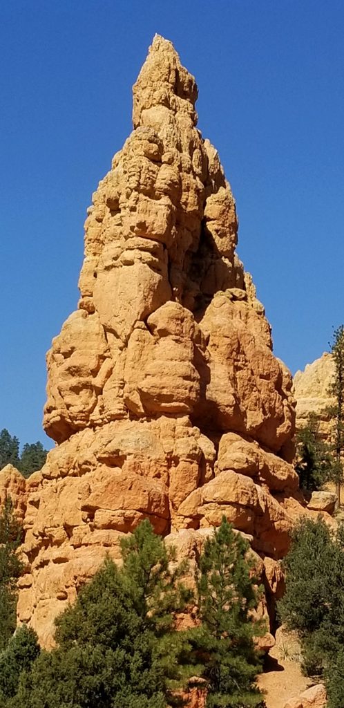
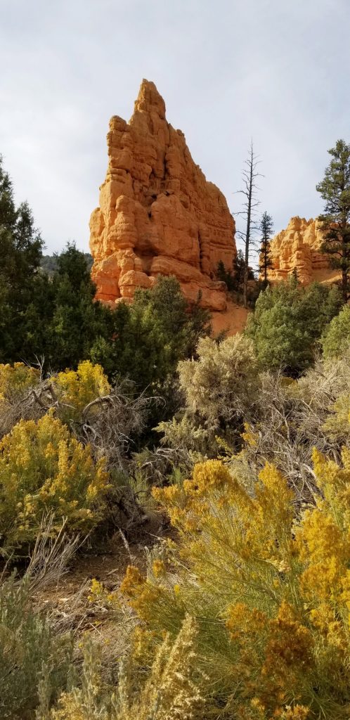
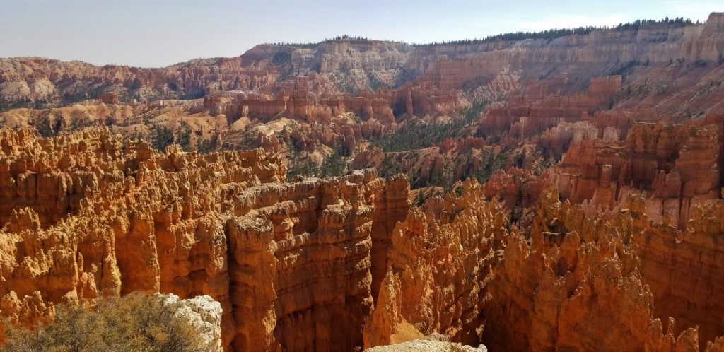
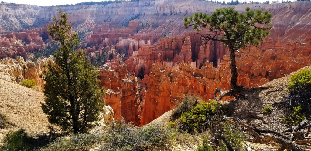
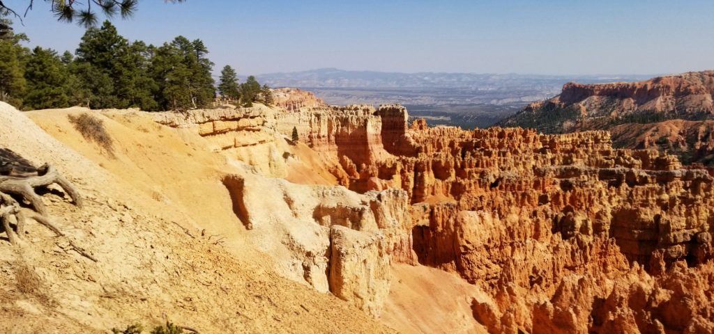
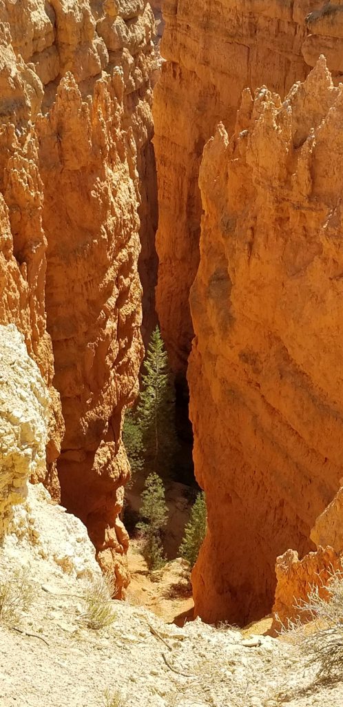
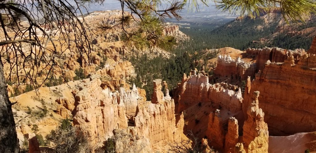
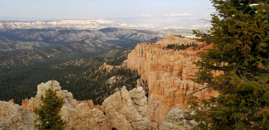
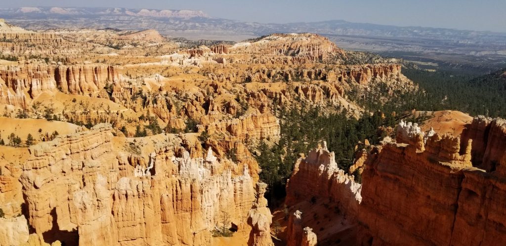
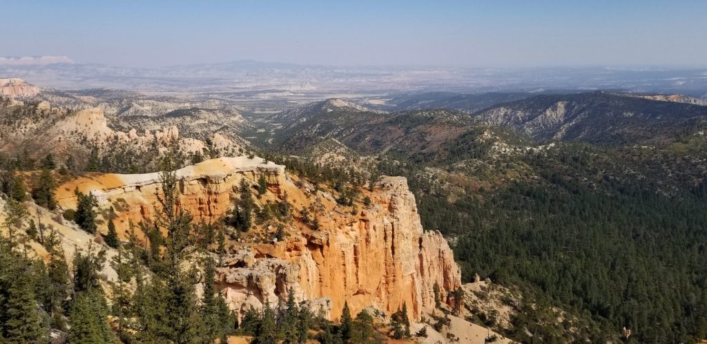
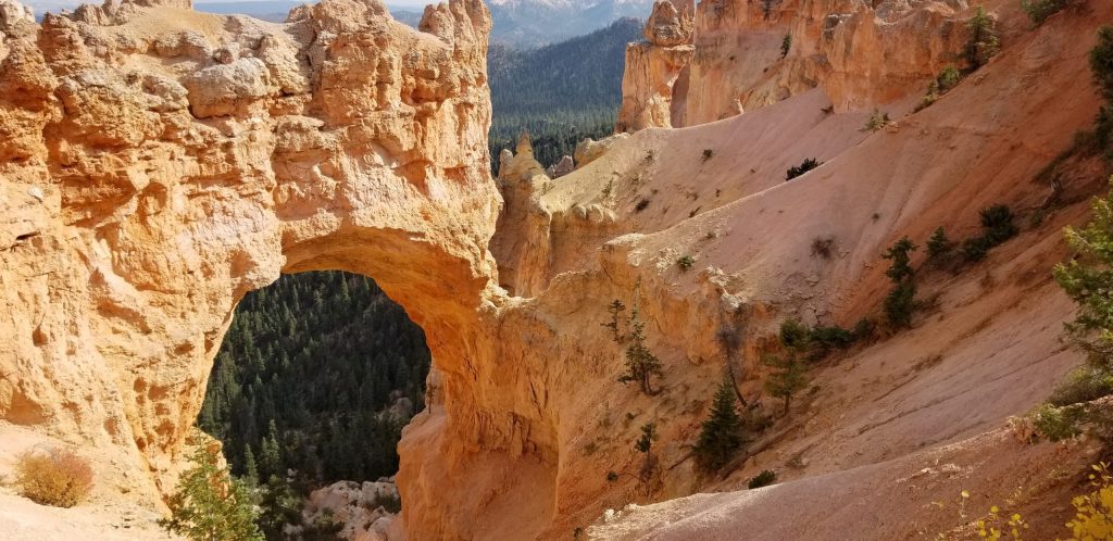
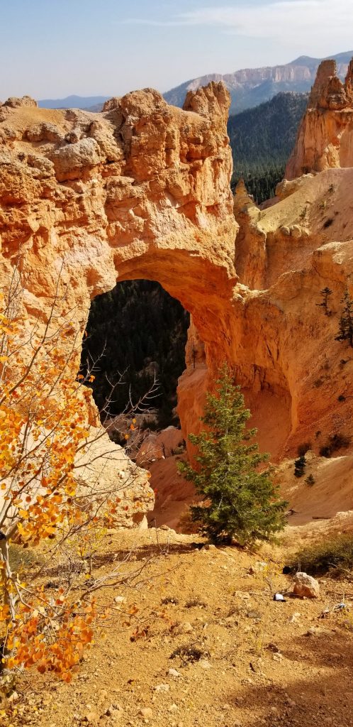
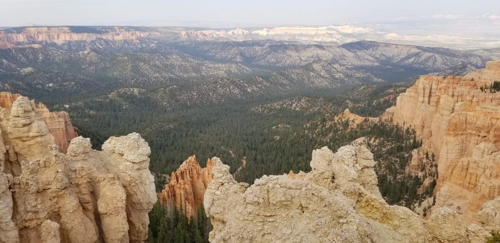
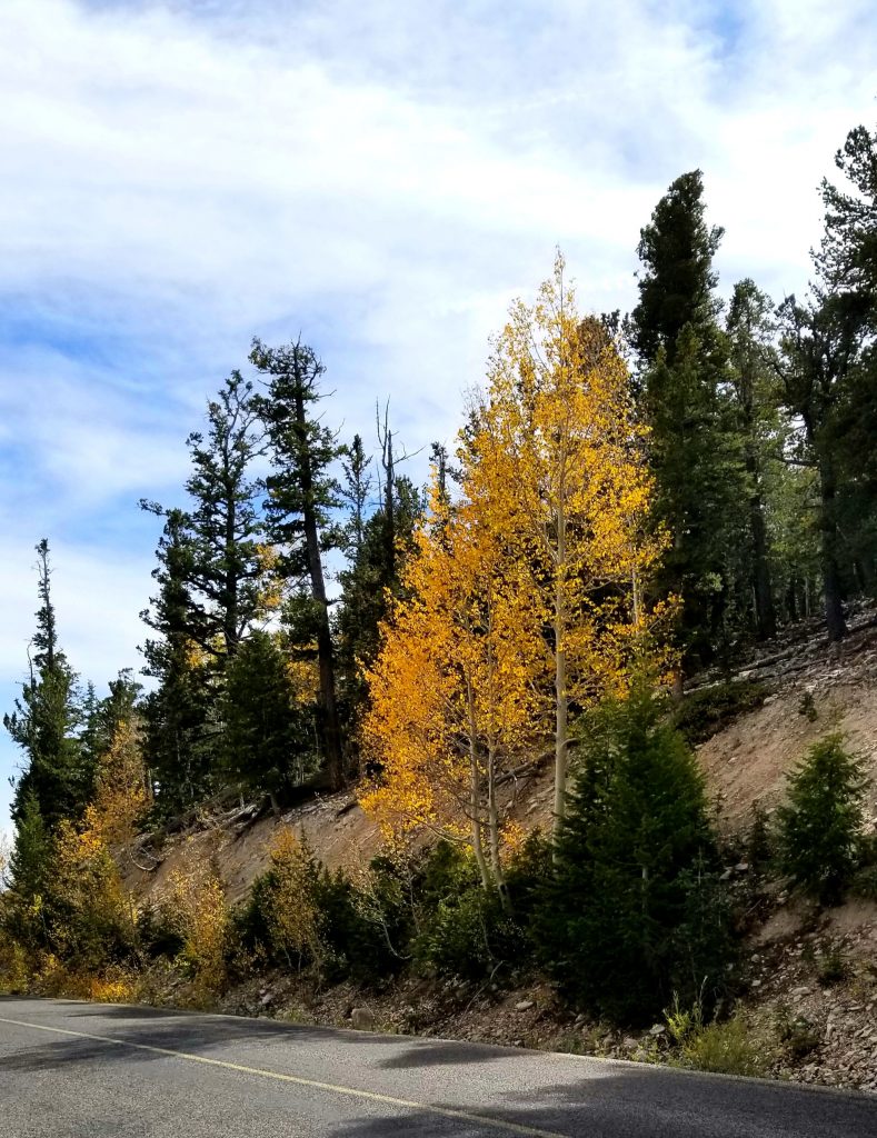
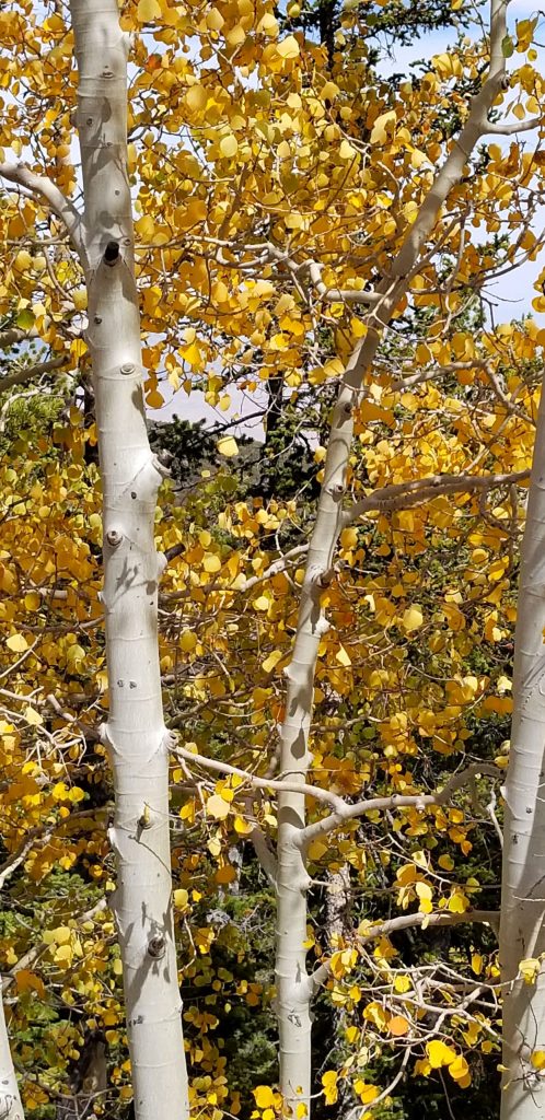
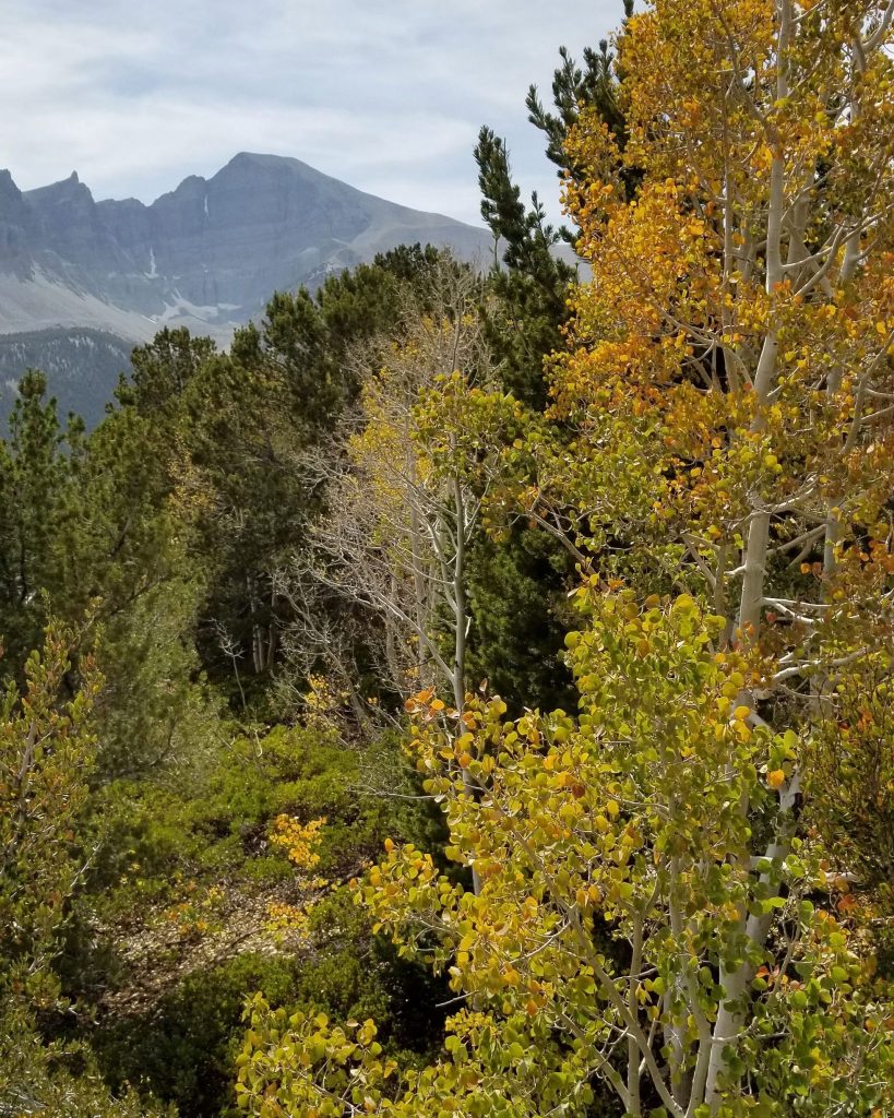
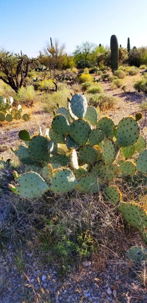
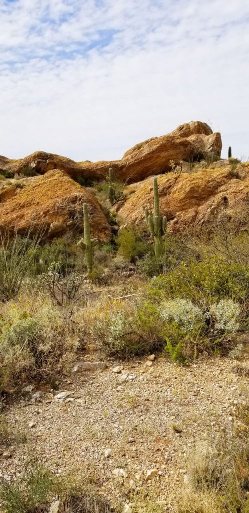
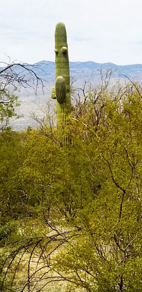
Zion National Park is bigger than I thought! We drove into Kolob Canyon little realizing it was a part of Zion NP. However, there is no road to the main part of Zion through Kolob Canyon. It’s a dead end road. But the beautiful red rocks cliffs are just as stunning.
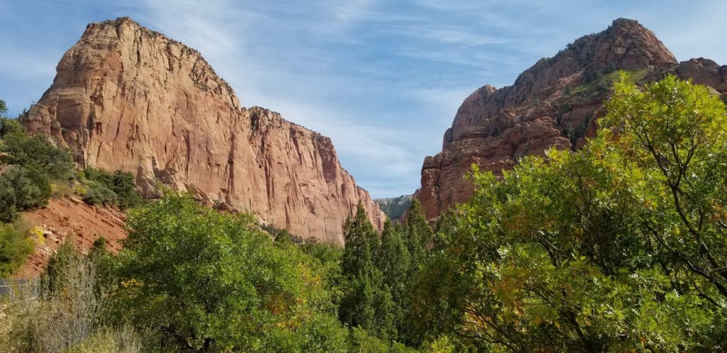
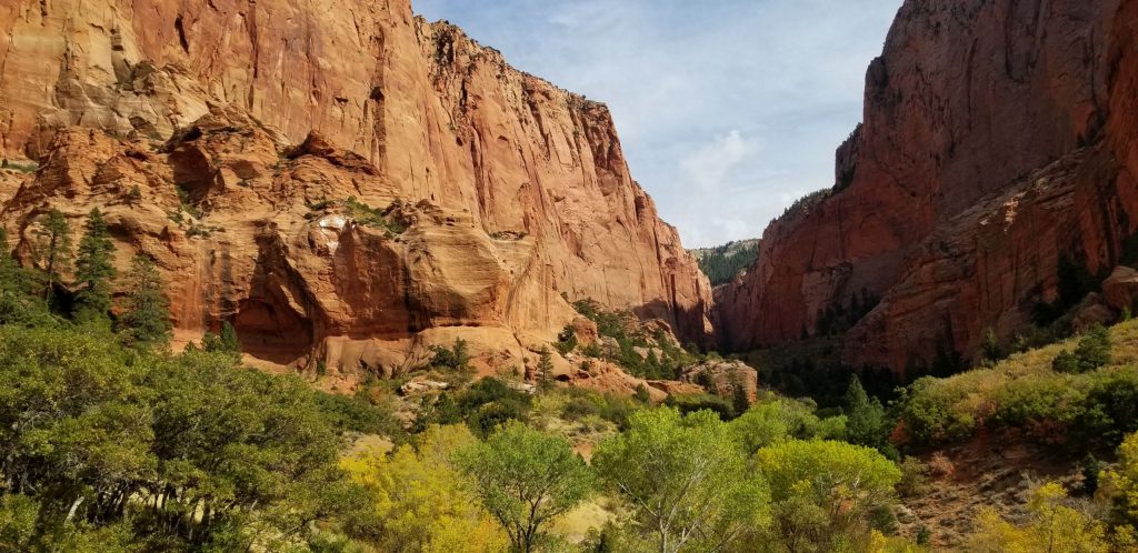
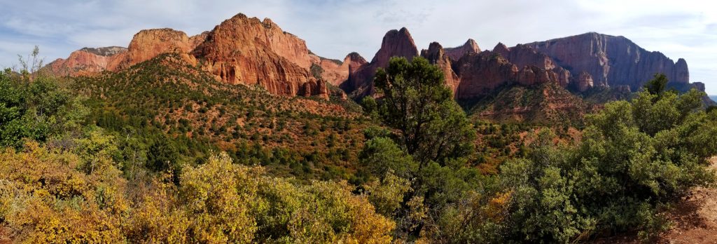
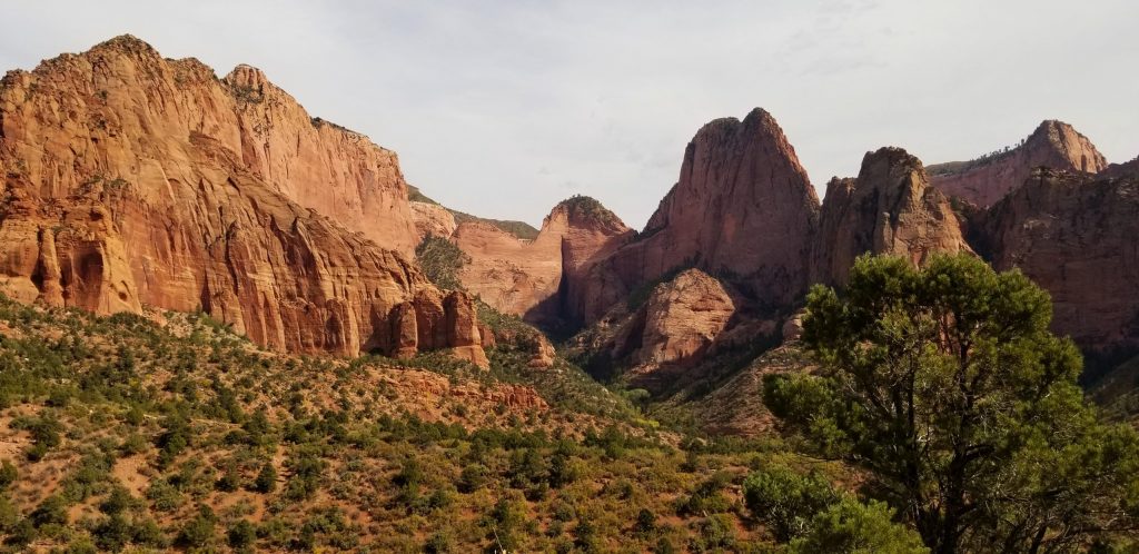
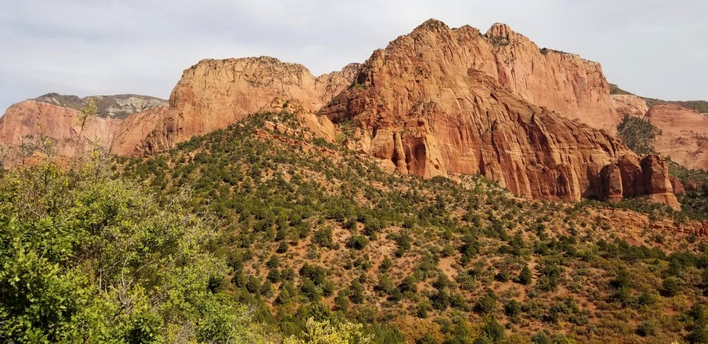
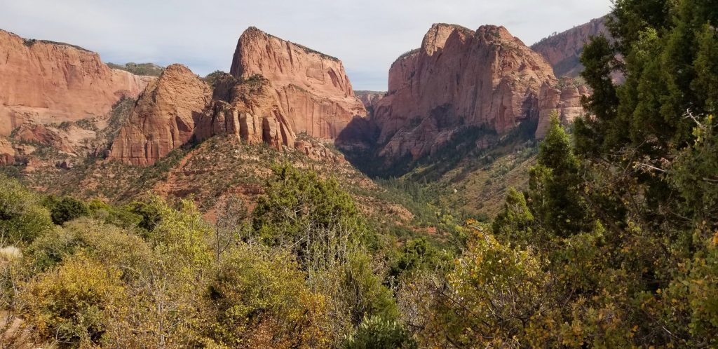
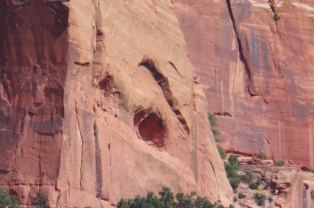
This was a nice short trip to the backside of Zion to see more of these amazing rocks.
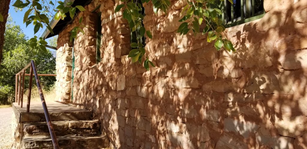
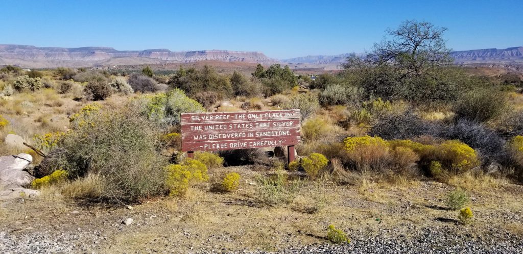
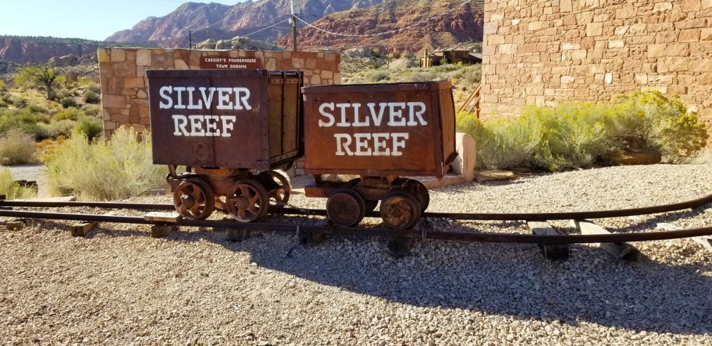
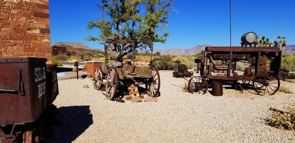
Two more nearby sites we saw while camping in Hurricane, Utah, were the CCC (Civilian Conservation Corp) Camp in Leeds, Utah, and an old ghost town that was a former mining town called Silver Reef.
The CCC was an organization started from 1933 to 1942. It was a work relief program for young men between 17 and 28 years old. It provided manual labor jobs related to the conservation and development of natural resources in rural lands owned by the federal, state and local governments. It provided them with food, clothing and shelter plus a wage, part of which was sent home to their families.
Silver Reef was once the site of a silver mine in 1866. Geologists were at first uncertain about the claim since silver is not normally found in sandstone.
Categories: Airstream Travel Tags: CCC camps Utah, CCC corp, Civilian Conservation Corp, Hurricane Utah, Kolob Canyon Utah, Leeds Utah, Mining towns, red rocks, Silver mines, Silver Reef Utah, sites to see in Utah, Southern Utah travel, St. George Utah, Utah travel, Zion Kolob Canyon, Zion NP | Comments

