June 2022
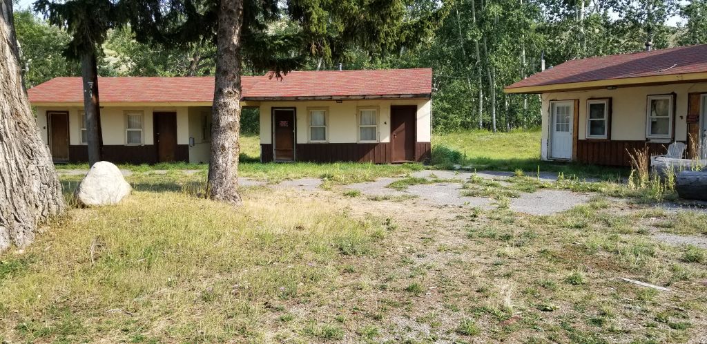
This year we tried something new and stayed in some Army Corps of Engineer campgrounds along our way. We found that these parks are generally very nice, and well-kept. The price at this particular one was $14 per night with our National Parks Senior Pass. We made our reservations online and we could pick our campsite and even see a photo of it. The one drawback is that some of them do not have sewer hookups, but there are always free dump stations available.
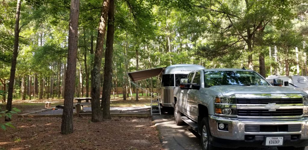
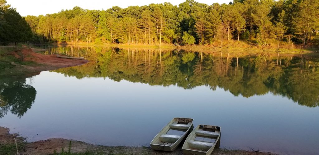
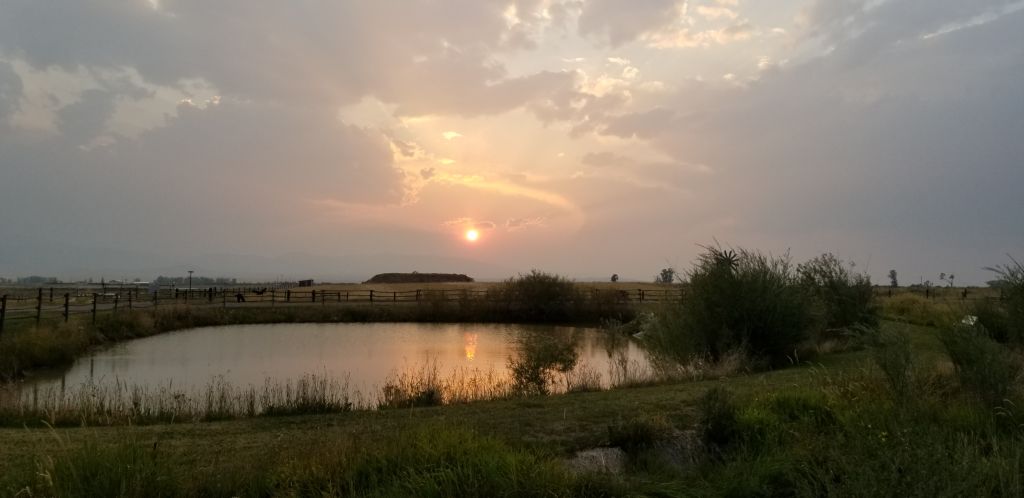
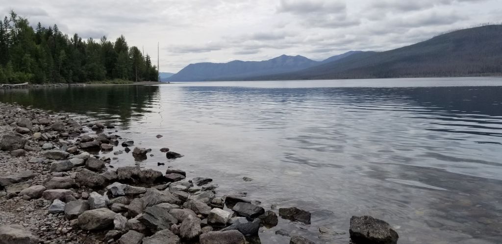
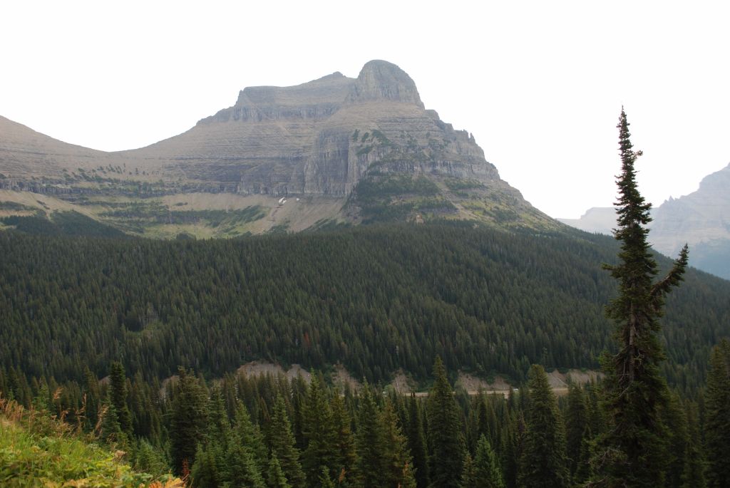
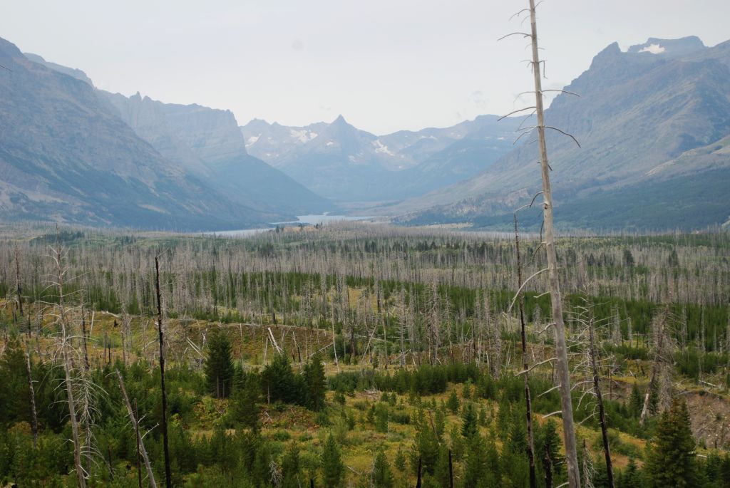
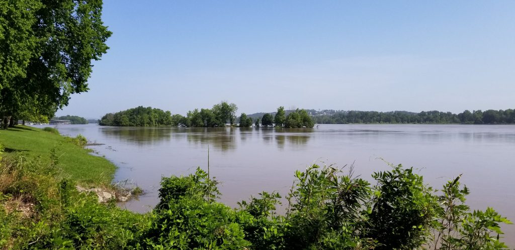
One such park, Maumelle in Little Rock, Arkansas, was right along the Arkansas River which happened to be nearly in flood stage. (The park was well above the water line.) The sites were nicely shaded.
Hot Springs National Park
Hot Springs National Park is located not far from Little Rock, Arkansas, in the town of Hot Springs. It was the 18th national park established in 1916. However, it had long been a popular place with its ancient thermal springs, mountain views and historic bathhouses with their grand architecture.
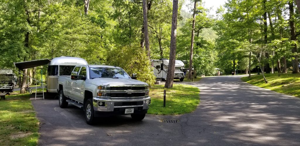
We camped at Gulpha Gorge Campground which is within the park boundaries and just minutes away from the Hot Springs National Park attractions. Again, with our National Parks Senior Pass, the fees were very low.
On the day we explored the main part of the park, we got an early start and found a free parking space near enough to walk to Bathhouse Row. Temperatures were going to be pretty hot that day, so we wanted to get out early to beat the heat.
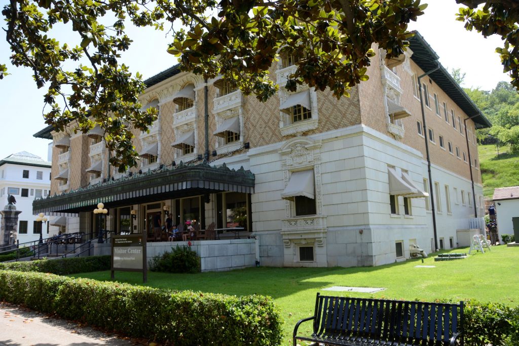
This national park seemed very different from others, in that, it is located in the downtown area of a small city. The park boundaries extend beyond the downtown area into the hills above the city where the hot springs originate.
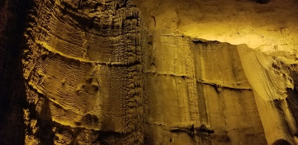
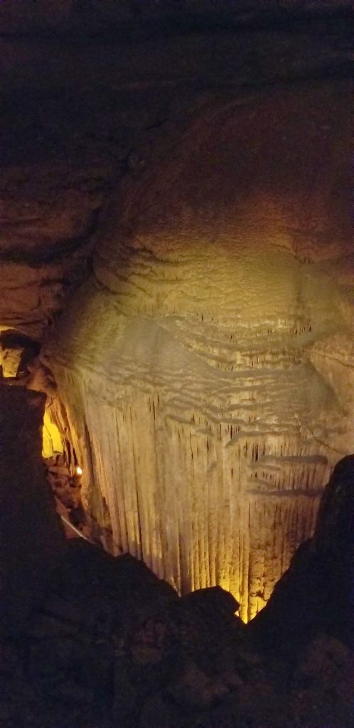
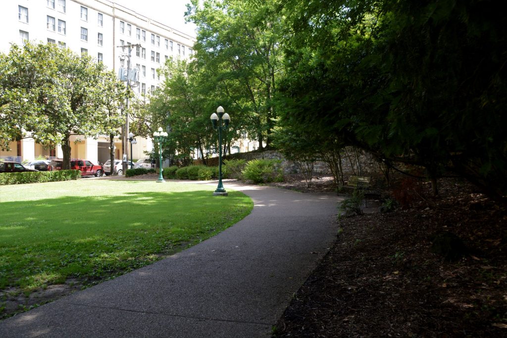
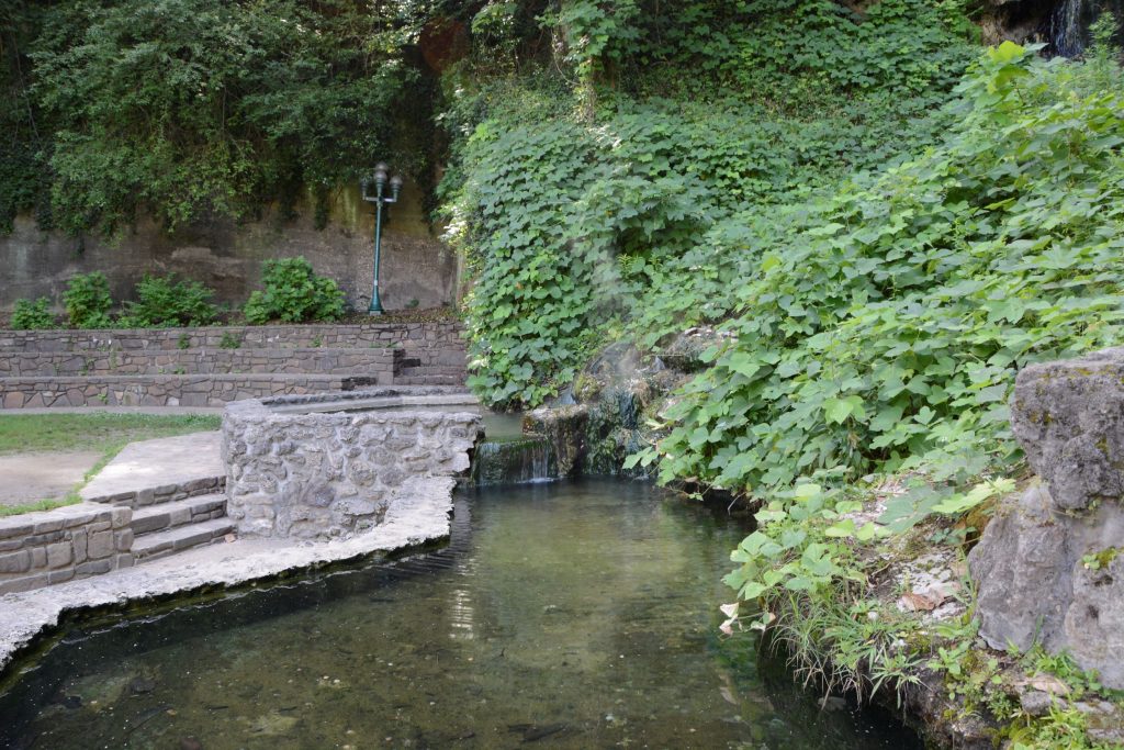
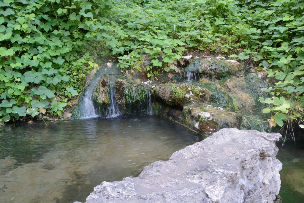
On the way to main street, we saw this hot water cascade at Arlington Lawn. We dipped our fingers in the water, and it was hot enough that we couldn’t hold our hands in it for long. The corner area of this block is a park with shade trees, green grass and walkways. Trails wind up and around the backsides of the row of bathhouses.
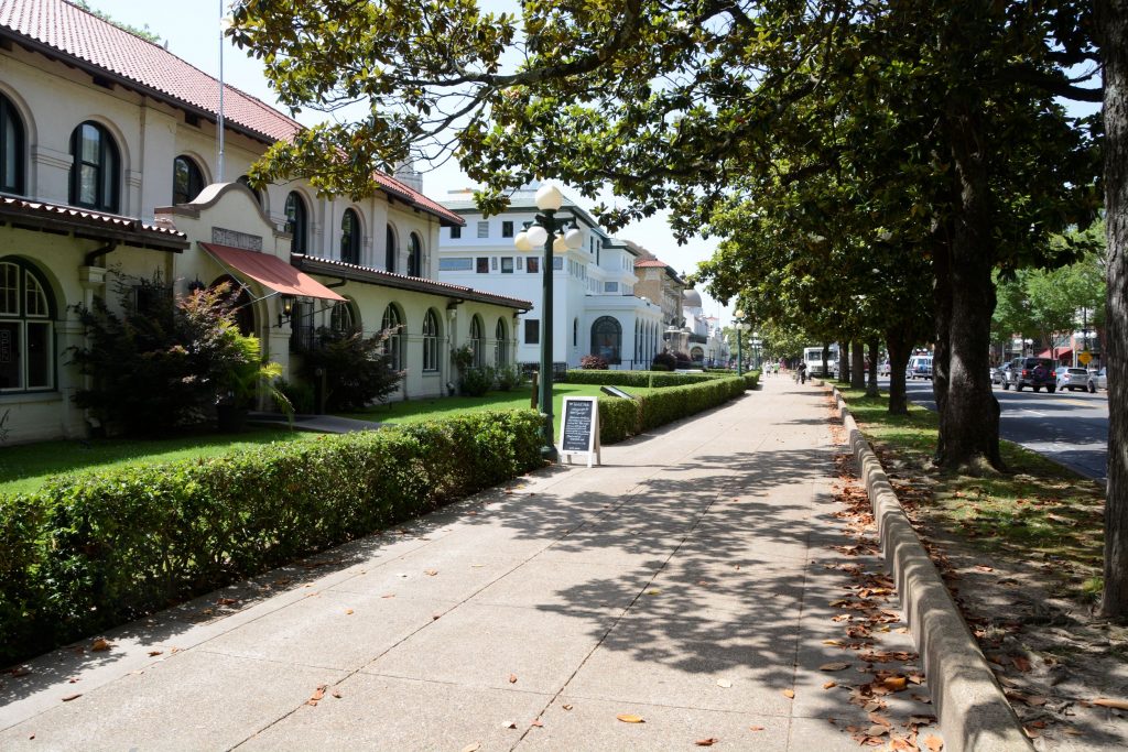
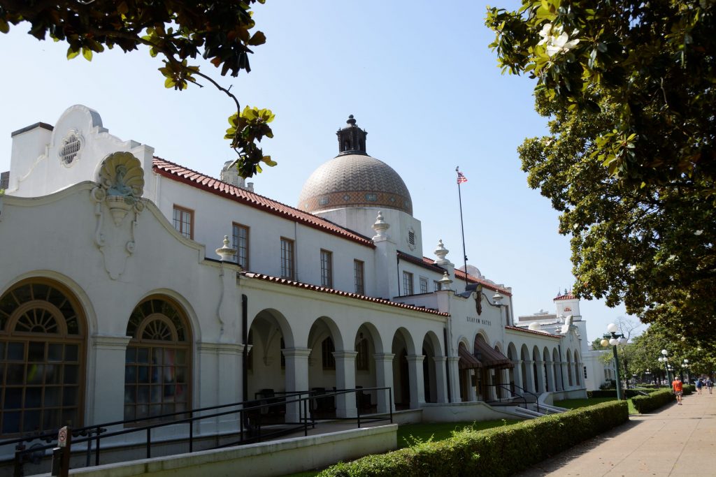
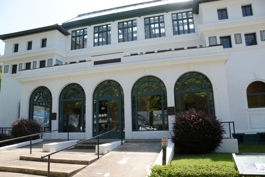
Looking down Main Street, you can see several of the bathhouses. Some are open to the public, and others are fully operating businesses offering hot mineral baths and spa treatments to their customers. And two are operated by the National Park Service.
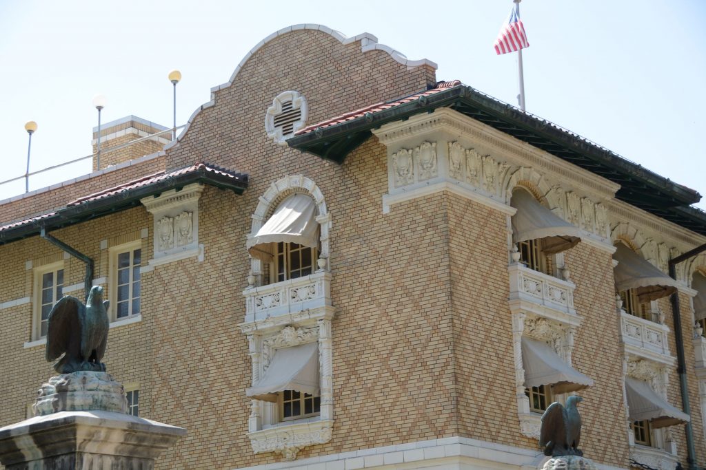
The Quapaw Bathhouse is known for its mosaic tile dome.
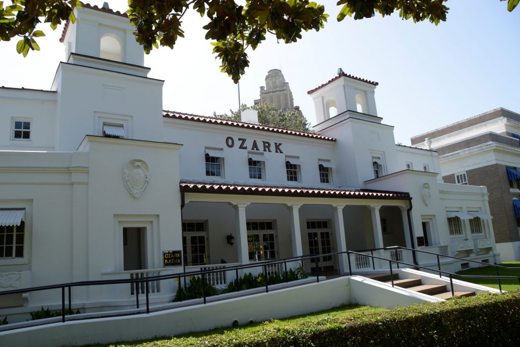
The Ozark is home to the Hot Springs National Park Cultural Center. The Center features gallery spaces for displaying artwork from the park’s Artist-in-Residence Program. Admission was free but because of time, we had to choose which bathhouses we could explore, and we opted to skip this one.
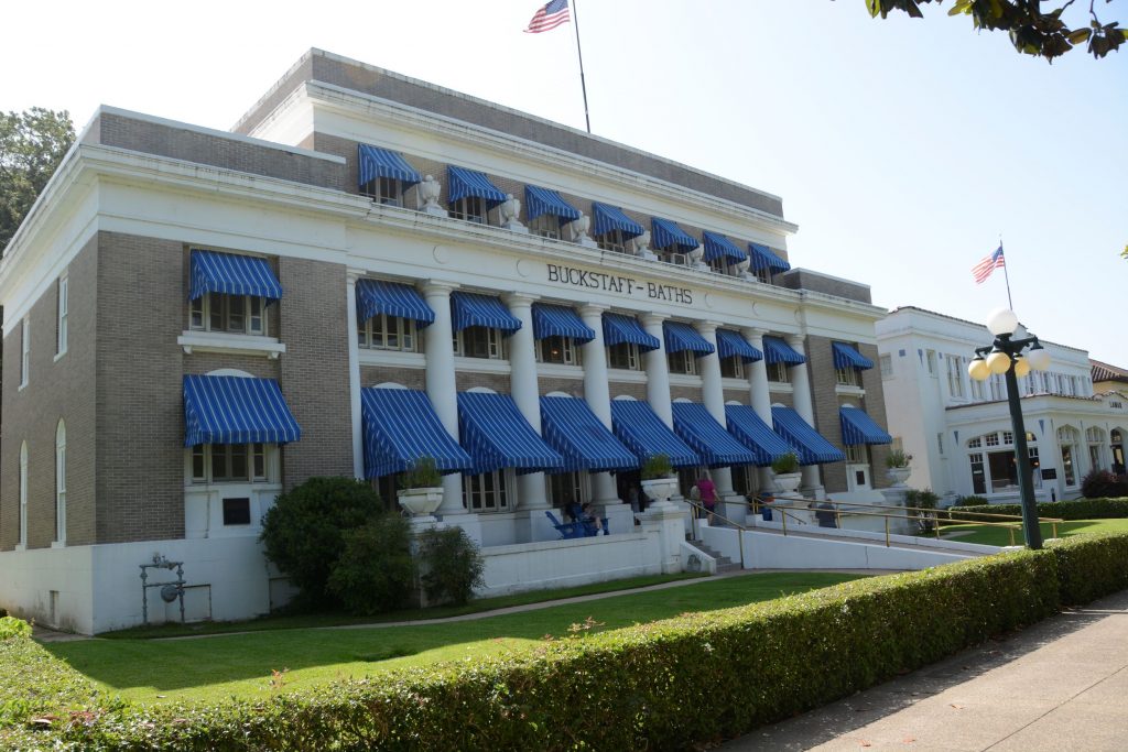
I love the blue awnings of the Buckstaff bathhouse seen below. It is the only one that offers a traditional bathing experience. It has been in continuous operation since 1912.
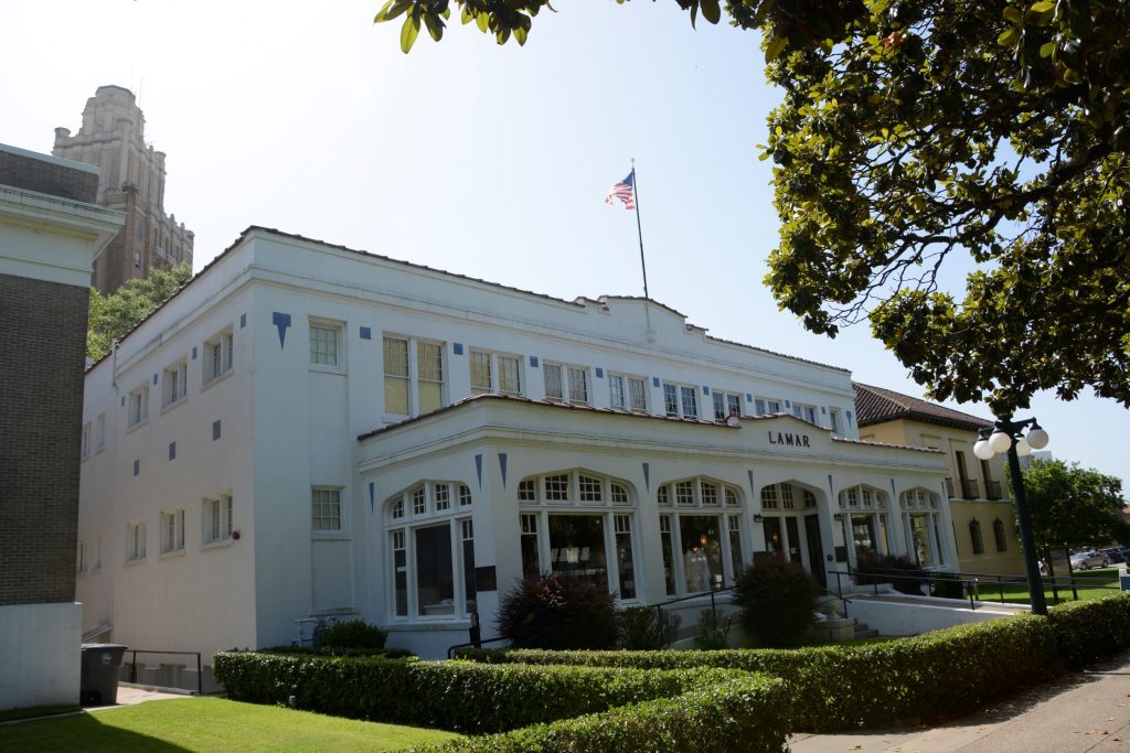
The Lamar contains offices for the park’s employees and the park store. I love browsing in the national park store. I don’t buy souvenirs, but it’s fun to look.
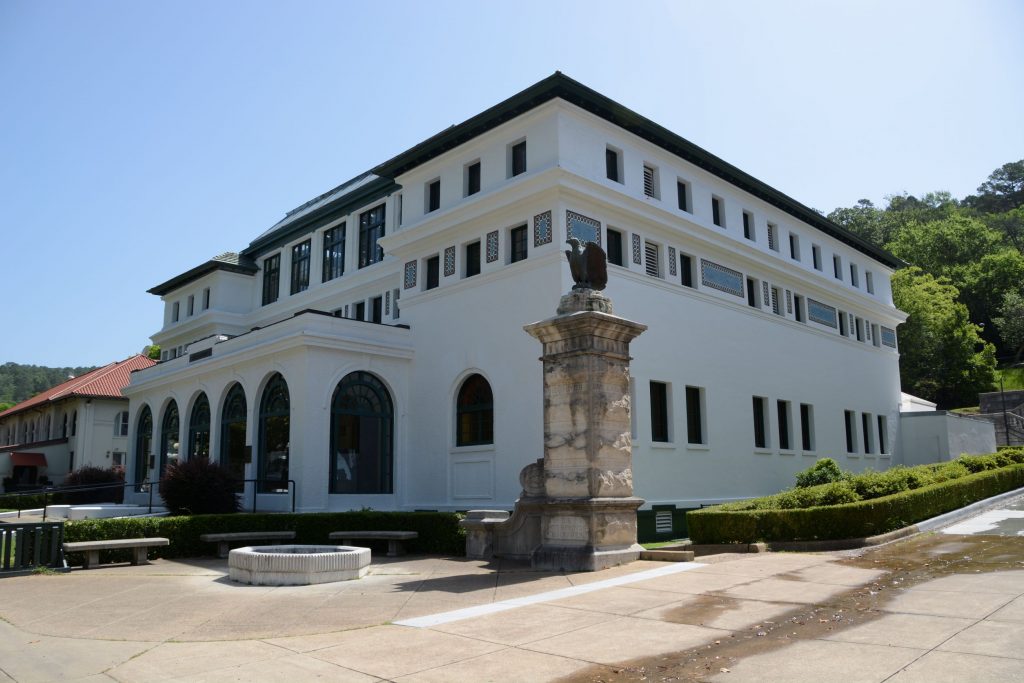
The Fordyce Bathhouse is in the middle of the block. It functions as the park’s visitor center. It is the largest bathhouse on the Row with three main floors, two courtyards, and a basement under most of the building. It houses the museum.
It is also where I could get my National Parks Passport stamped.
The Fordyce Bathhouse Museum is located here and visitors can go on a self-guided tour. The architecture on this building is really interesting.
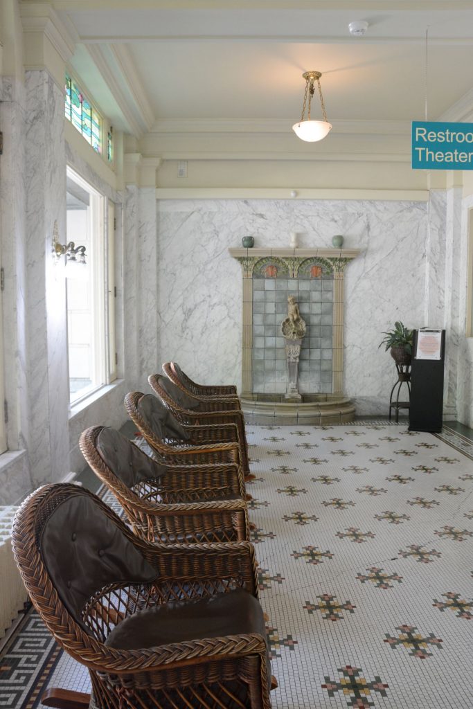
Inside tour of Fordyce
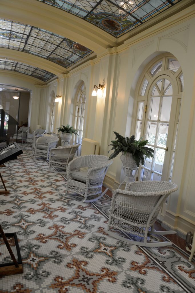
Our tour began in the lobby where we were greeted by an elaborate fountain situated in a room of wicker rocking chairs sitting on a mosaic tile floor.
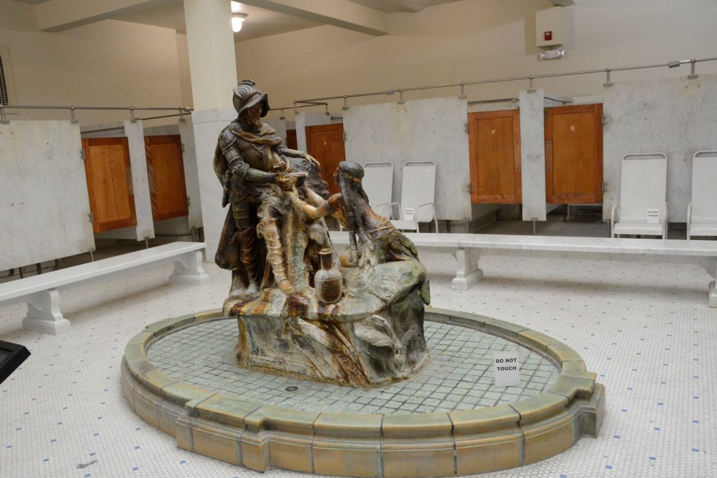
Men’s and women’s areas were separate. Here is the the De Soto Fountain in the men’s area.
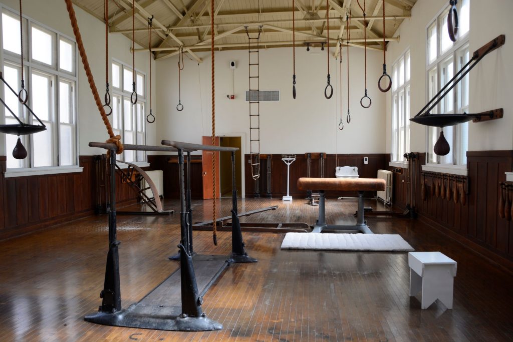
Below is a photo of the gymnasium with period equipment.
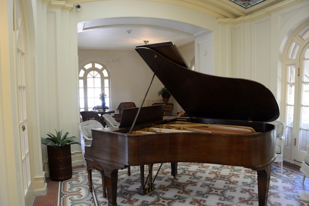
There were many beautiful stained glass windows and ceilings. This room was an area to relax and enjoy conversation or listen to music played on the grand piano. Notice the beautiful stained glass ceiling and mosaic tiled floor.
At the end of our tour, we walked back to the truck to take a break and get some refreshments. Afterwards I took photos of the other bathhouses before we left.
The Maurice Bathhouse is a commercial enterprise of art and high-end tourist items. The architecture is really beautiful.
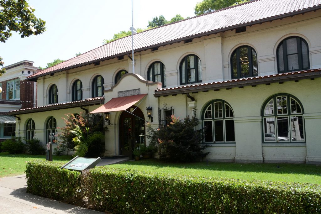
The Hale Bathhouse is now Hotel Hale, a luxury hotel. Overnight guests can stay in historic rooms and experience the thermal springs.
We drove to another part of town and ate lunch at Chick-fil-A. While we were there, a lady at the table next to us introduced herself and gave us some “must see” sites to see which included the observation tower and the botanical gardens.
We only had one day to see everything, so even though it was hot, we decided to see as much as we could.
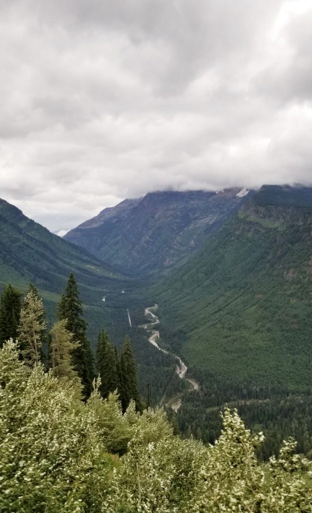
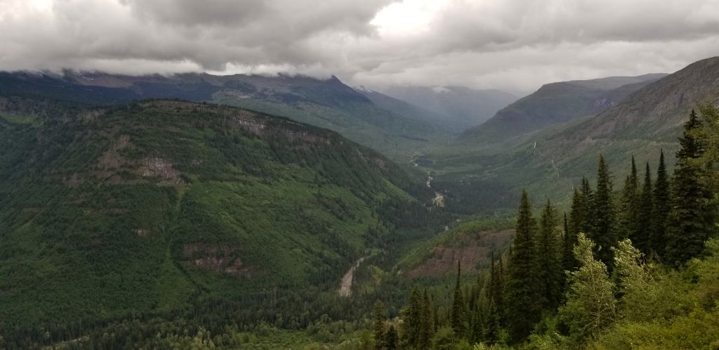
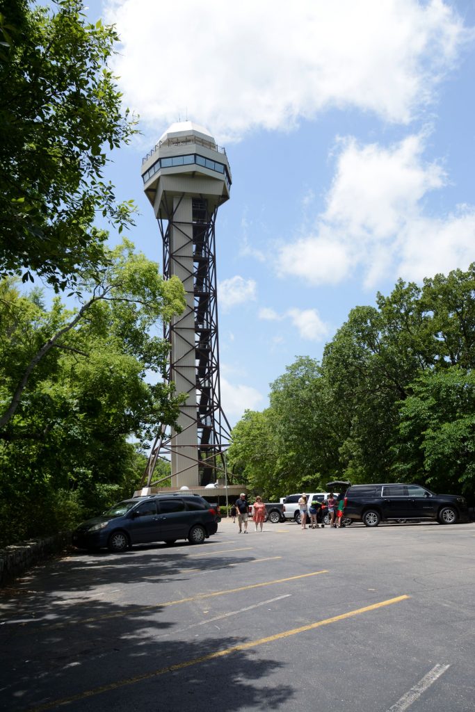
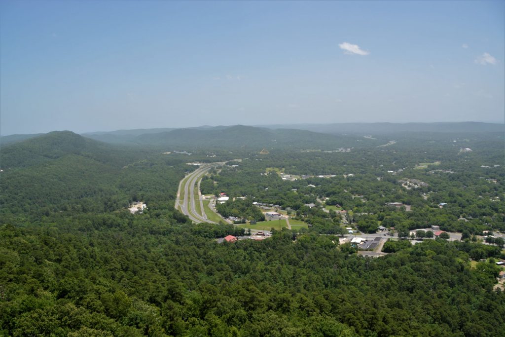
Hot Springs Mountain Tower
This tower (shown below) is located on the mountain behind Bathhouse row up a steep winding road. At 1,256 feet above sea level, it overlooks 140 miles of surrounding Arkansas countryside.
We took the elevator up to the top observation deck and enjoyed the views.
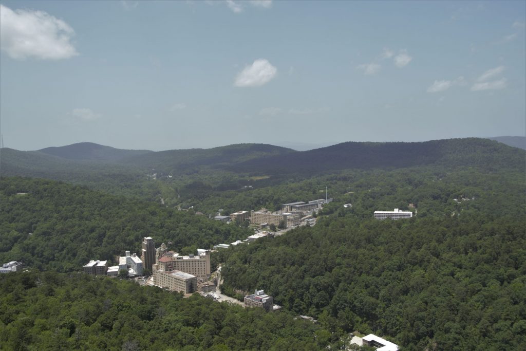
Looking out from the observation deck, we could see the town of Hot Springs and Bathhouse Row.
Garvin Woodland Gardens
Another suggestion from our friendly lady at lunch was to see Garvin Woodland Gardens located a few miles outside the city. At one time, it was logged for trees. After the trees grew back a second time, the owner was going to log it again when his daughter, Verna Cook Garvan, stepped in and asked him to spare them. She eventually inherited the land and turned it into a botanical garden, planting themed garden areas, and developing it for over 30 years. At her death it was donated to the University of Arkansas with the stipulation that it be preserved and cared for.
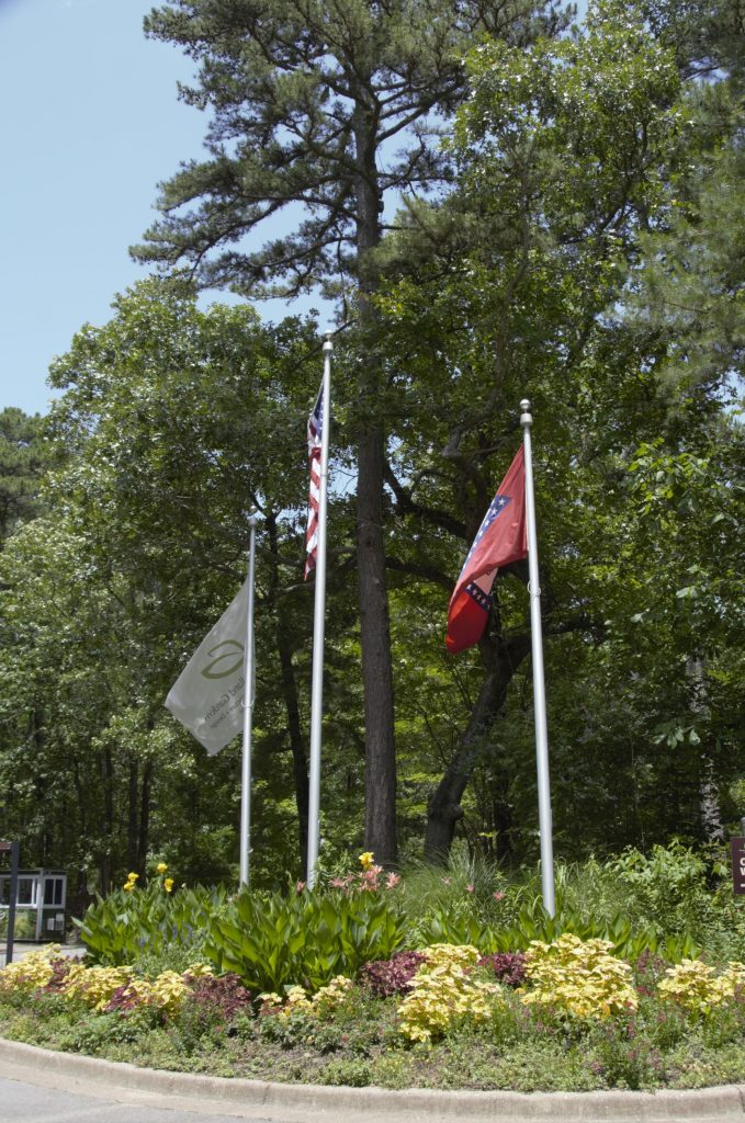
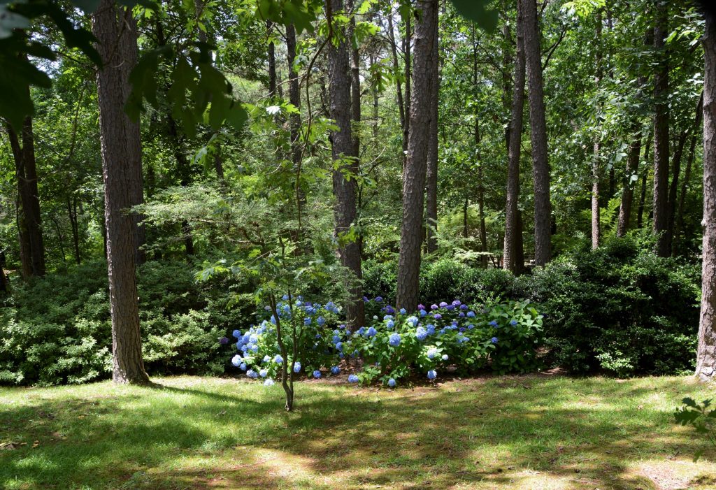
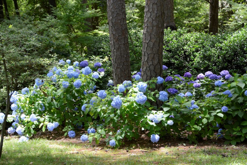
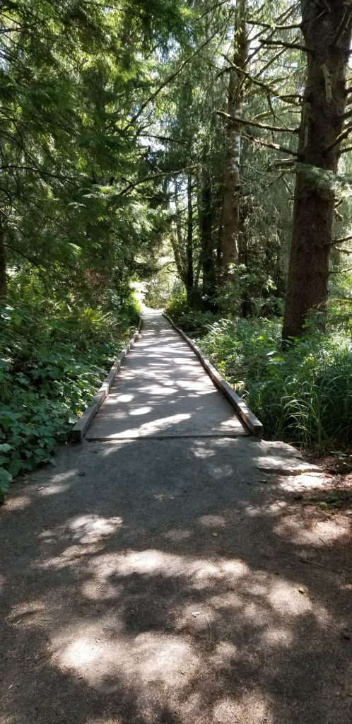
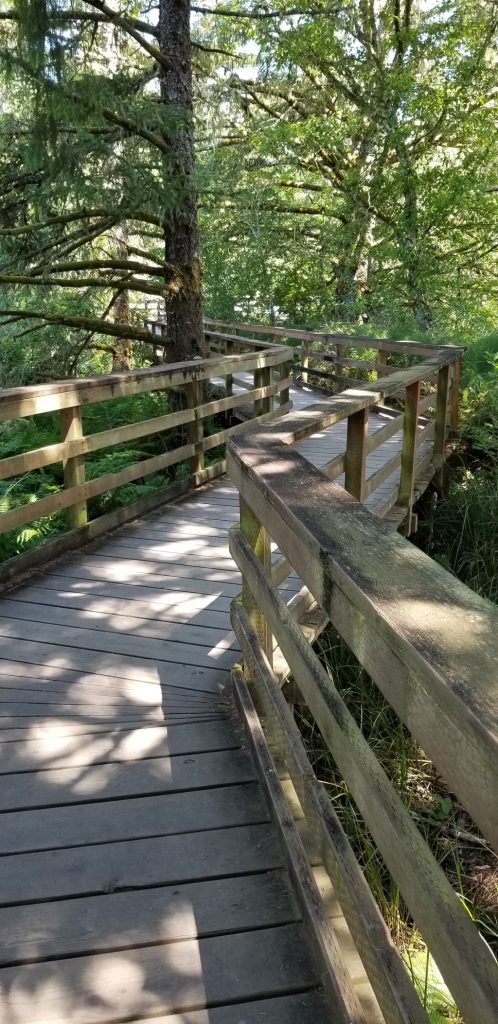
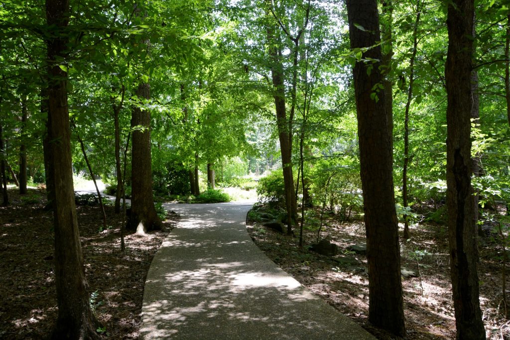
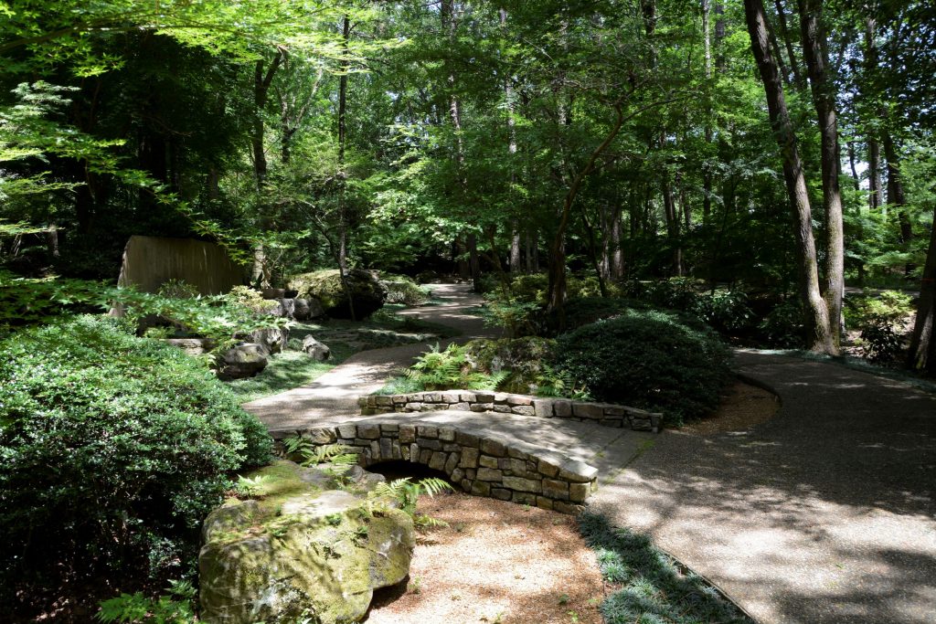
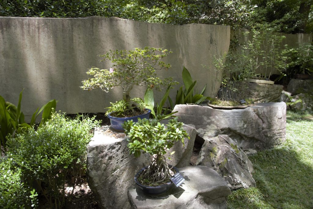
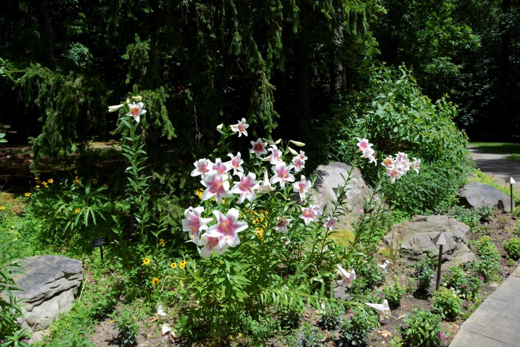
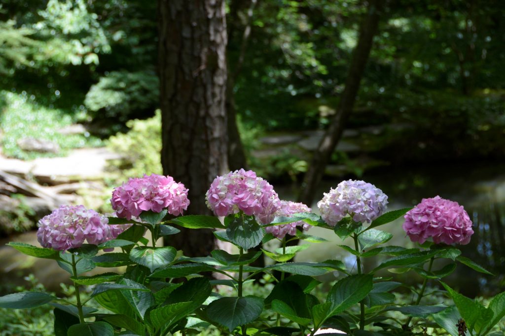
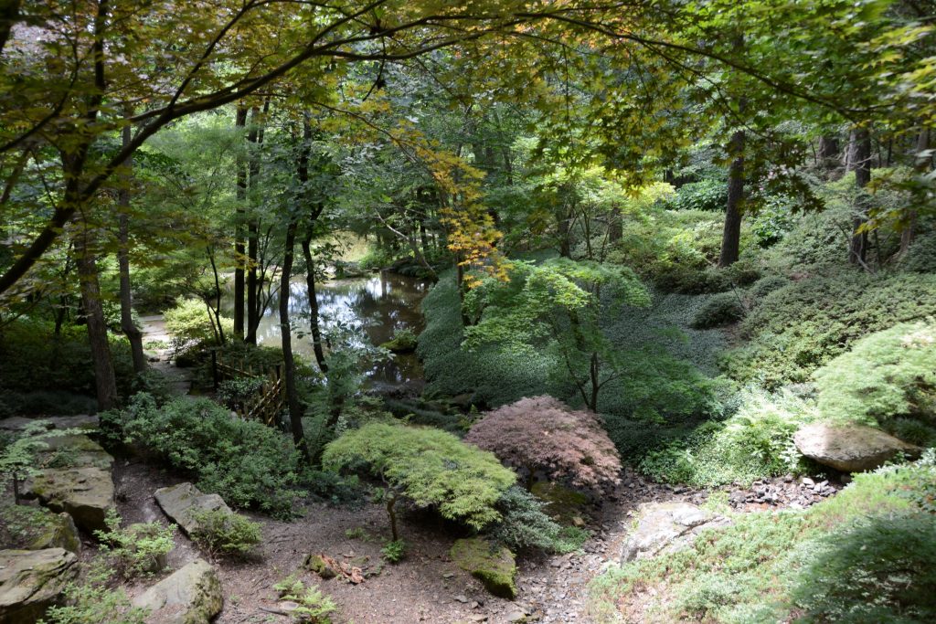
The garden encompasses 210 acres and has miles of pathways meandering throughout the forest canopy.
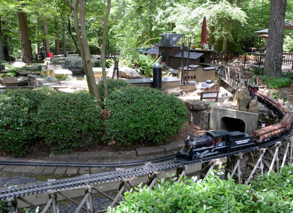
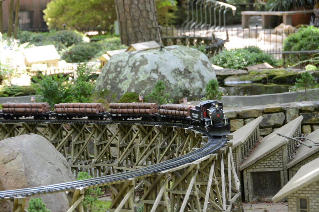
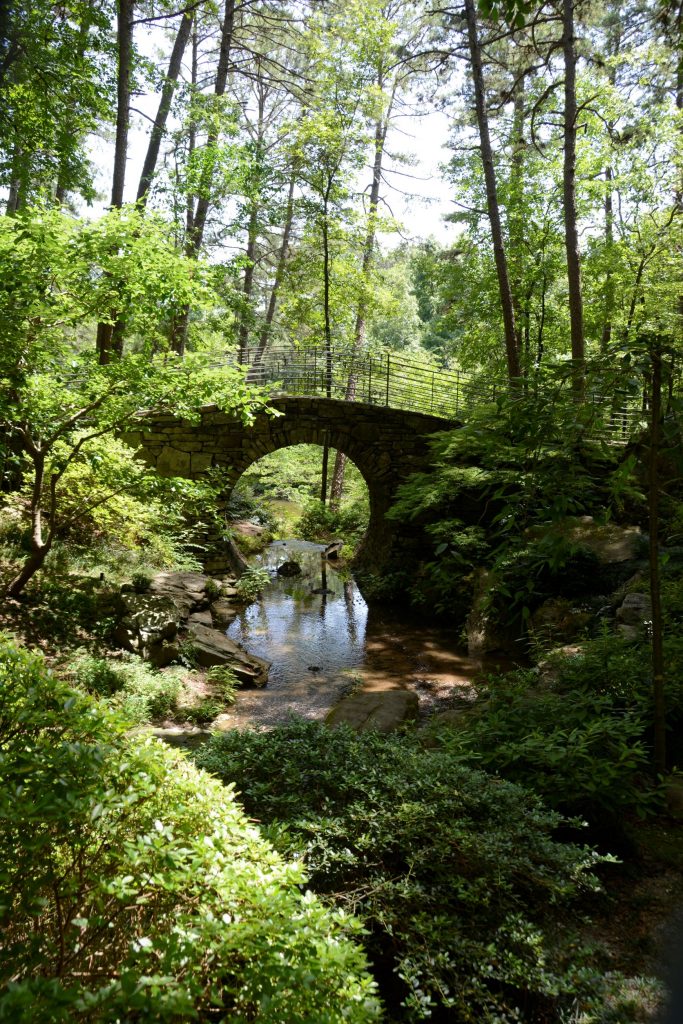
Near the entrance is an elaborate garden railroad with several trains running simultaneously through the tunnels and over bridges and tracks.
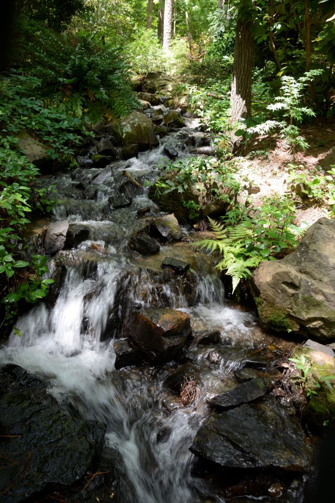
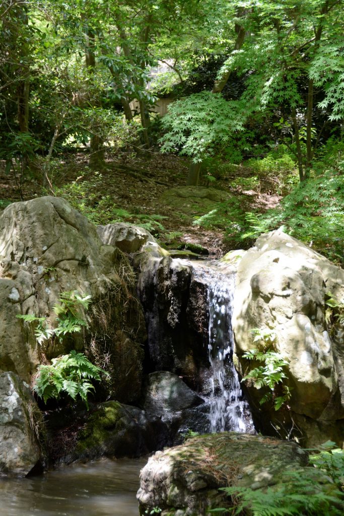
Though the day was hot and humid, we stayed under the shady trees on most of the pathways. We only explored a small part of the gardens. The pathways wound downhill toward the lake and koi pond.
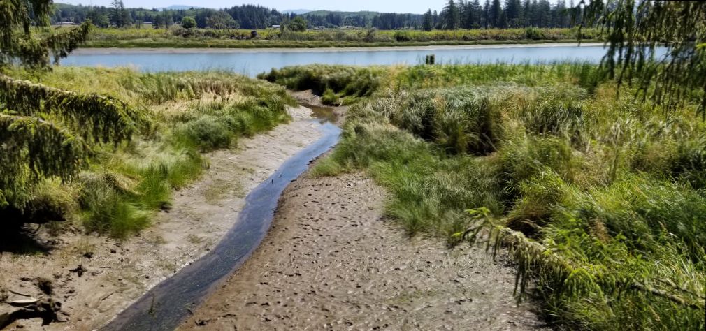
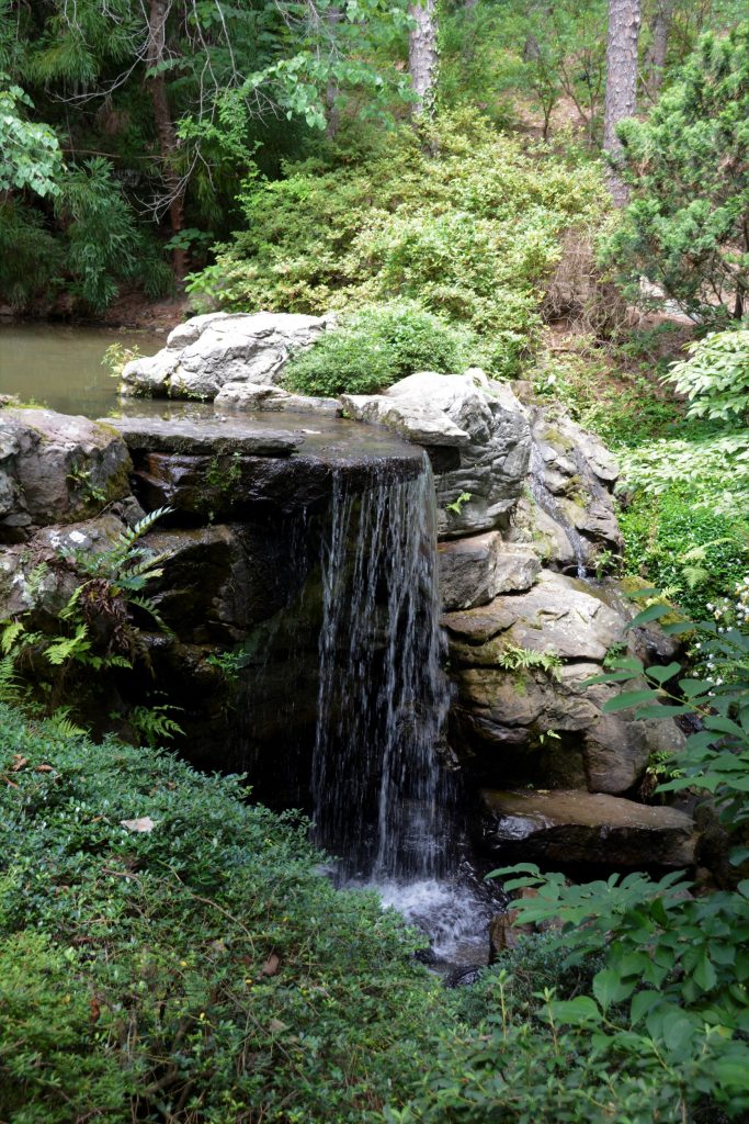
All of the water is pumped uphill from the lake to make the creeks, waterfalls and pond.
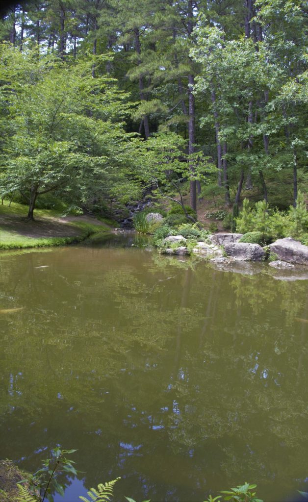
When we were at the Koi pond (shown below), I saw something swimming across the water. At first I thought it was a fish, but then I realized as it got closer that it was a snake! It was swimming with its head out of the water using its body to propel it.
What goes down, must go back up. Eventually we had to hike back uphill to the entrance and parking lot. We were glad to get back to the truck and cool off in the air conditioning. We were only able to explore a small part of this huge botanical garden. I would love to go back someday when the weather is cooler and explore more of this place of beauty. It is truly unique and beautiful.