White Sulphur Springs, Montana

September, 2021

The little town of White Sulphur Springs is located in the western half of Montana about midway from north to south. To get there from Choteau, Montana, we went through Great Falls and then south on Highway 87 through the Little Belt Mountains and Lewis and Clark National Forest. It is some of the prettiest scenery, going over Kings Hill Pass of 7400 feet, and past quaint little towns tucked in among the forests.

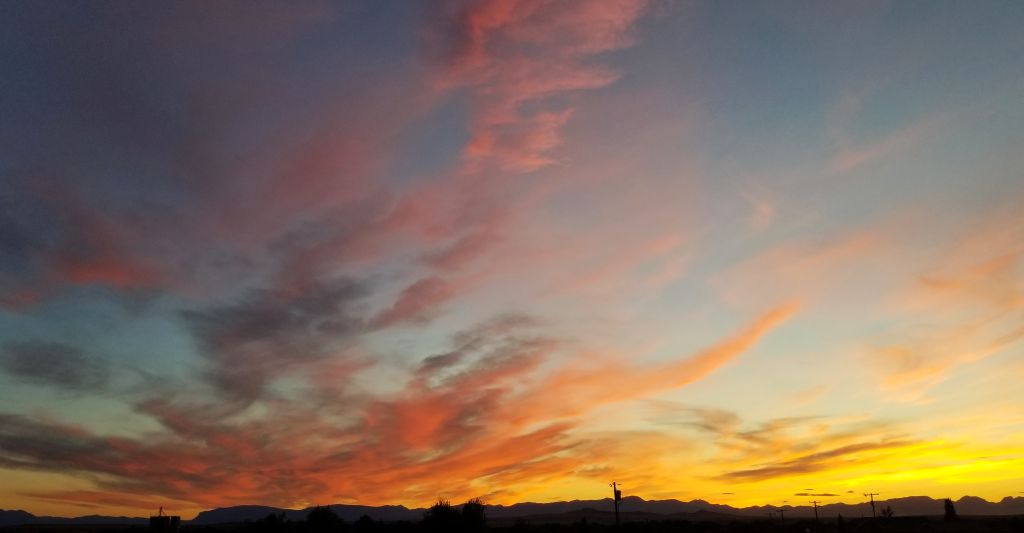
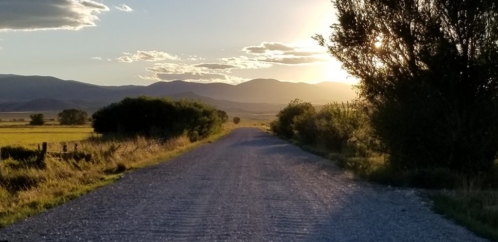
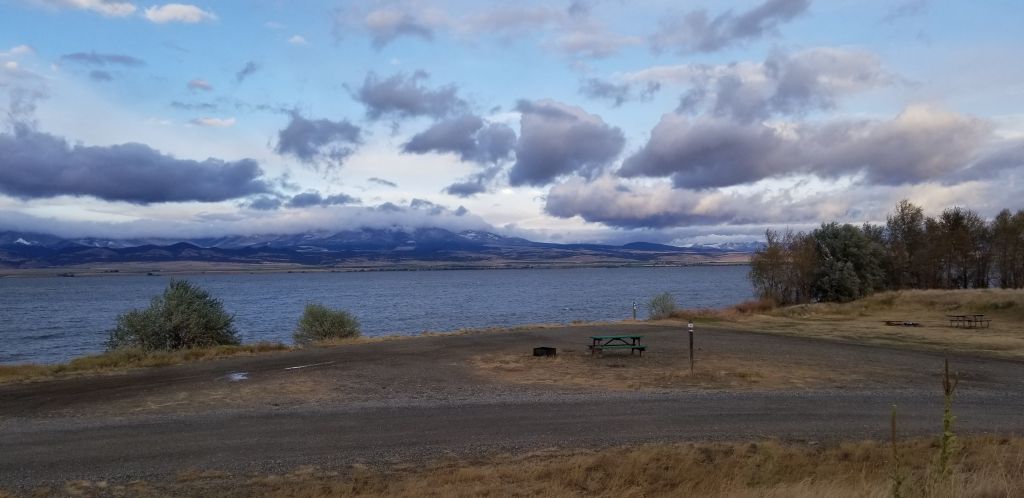
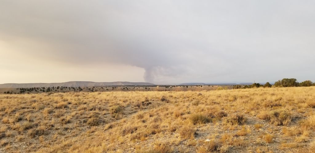
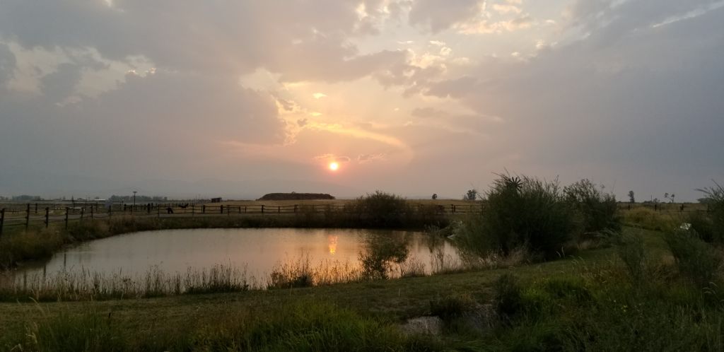
On the edge of White Sulphur Springs is an RV park with a view of the Big Belt Mountains to the west. The smoke from fires in the west made beautiful sunsets in the evenings.

View from campground at White Sulphur Springs, Montana

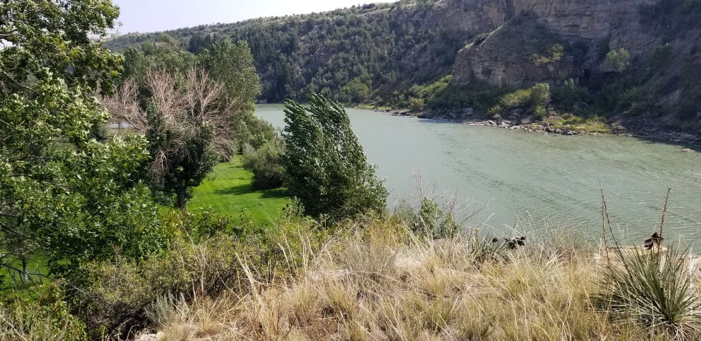
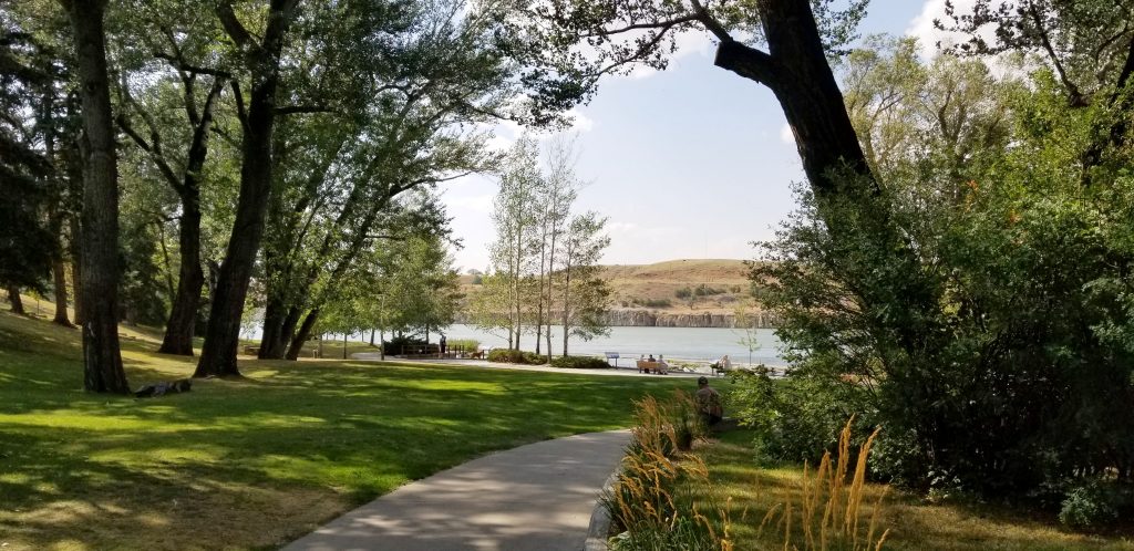
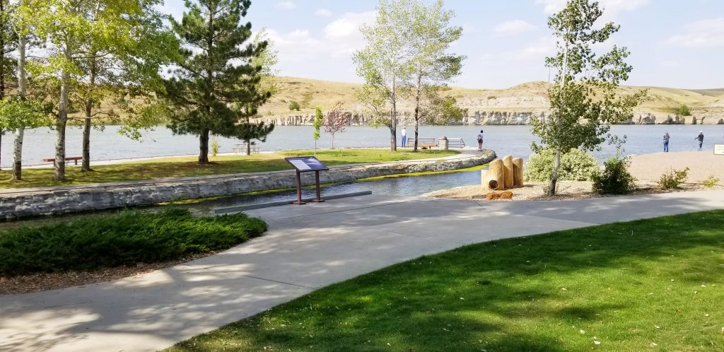
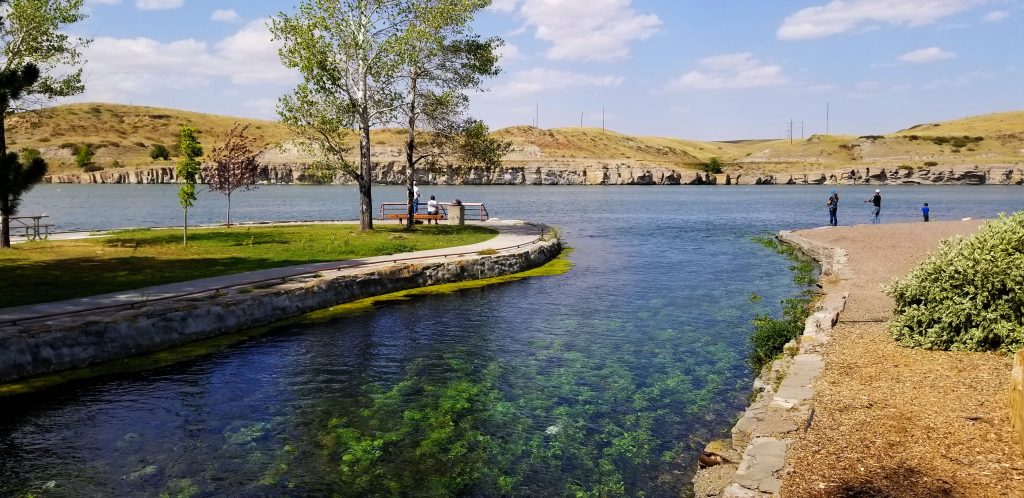
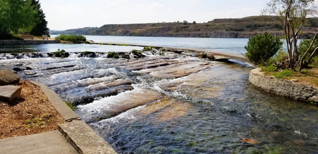
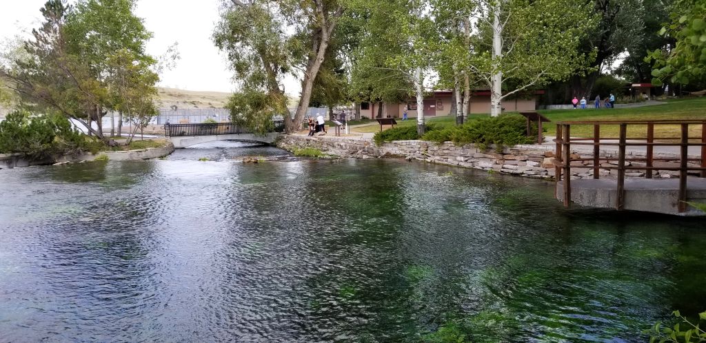
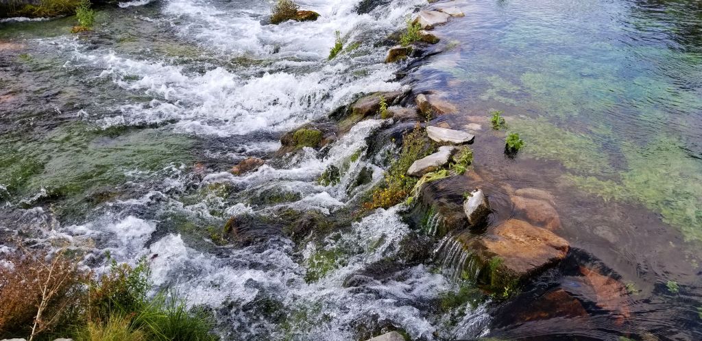
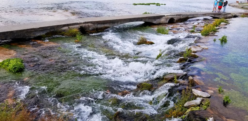
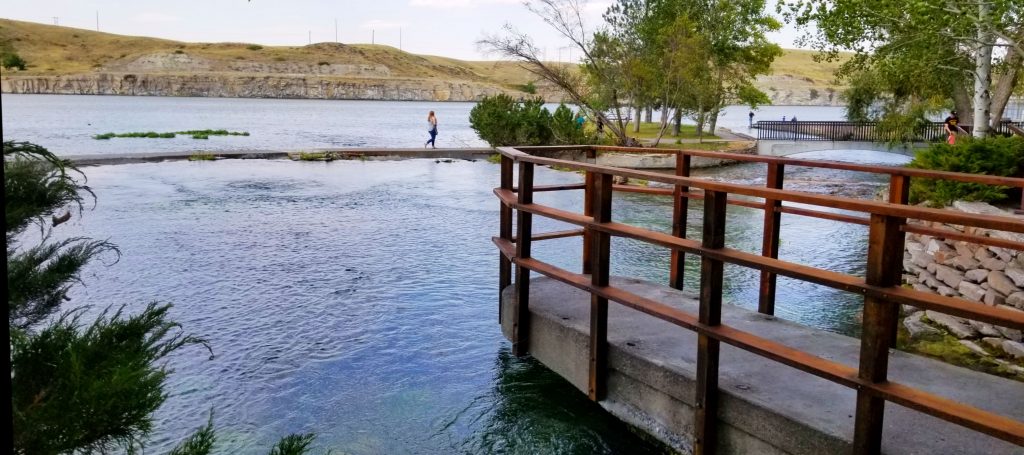
We were familiar with this quiet little town, having spent some time here last year. There are plenty of day trip destinations from there. One place I really wanted to see this year was the “Top of the World Drive” on Highway 212 going from Yellowstone National Park to Red Lodge, Montana.

To get to this highway, you must take Highway 89 to Yellowstone National Park, across the border in Wyoming. We ate a picnic lunch just inside the north entrance of Yellowstone NP. Then we followed the road to Mammoth Hot Springs and on to Tower-Roosevelt.

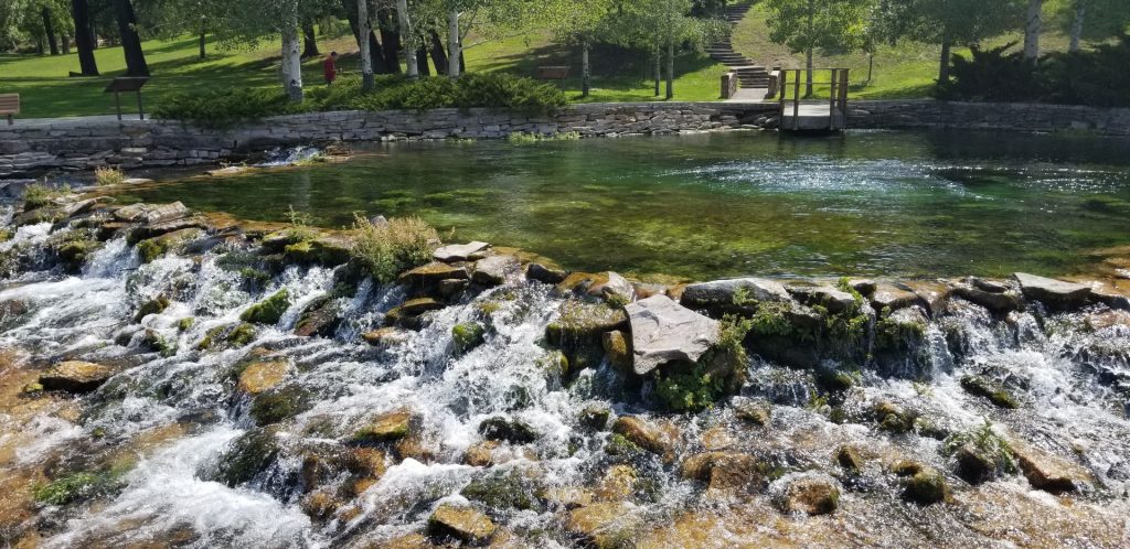
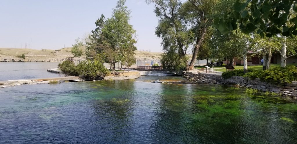
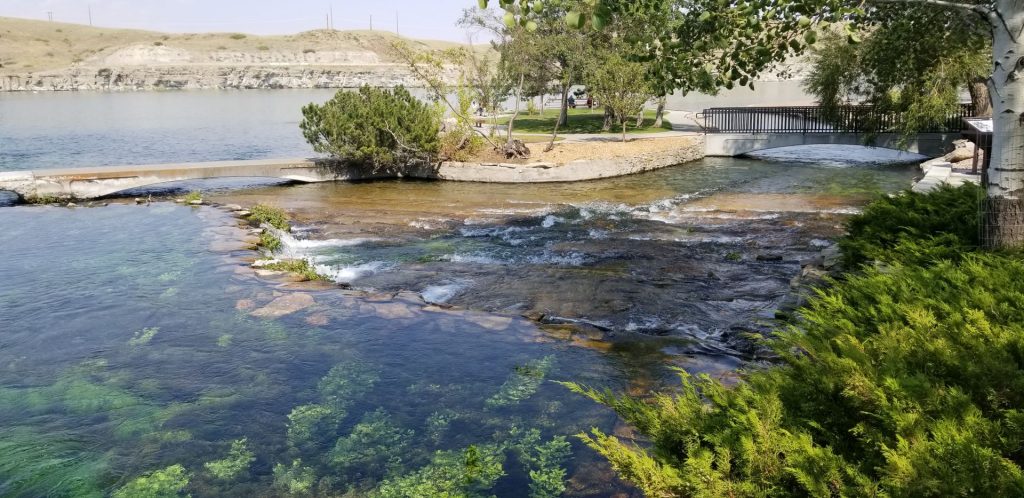
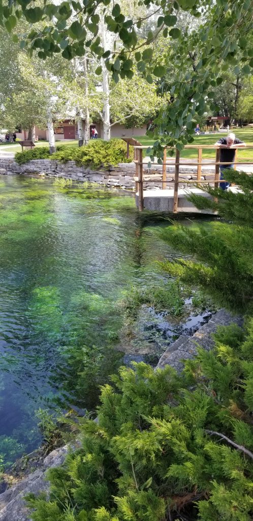
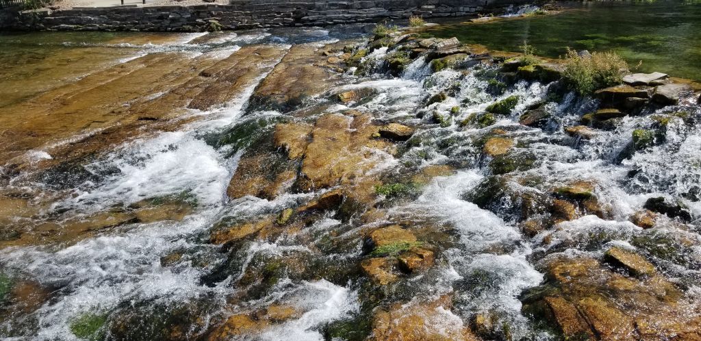
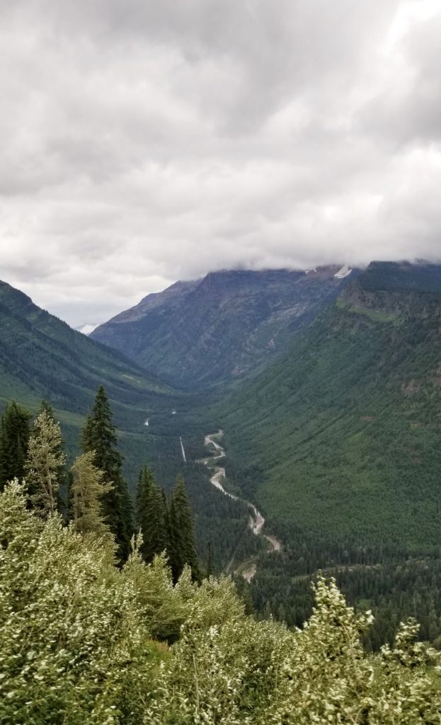
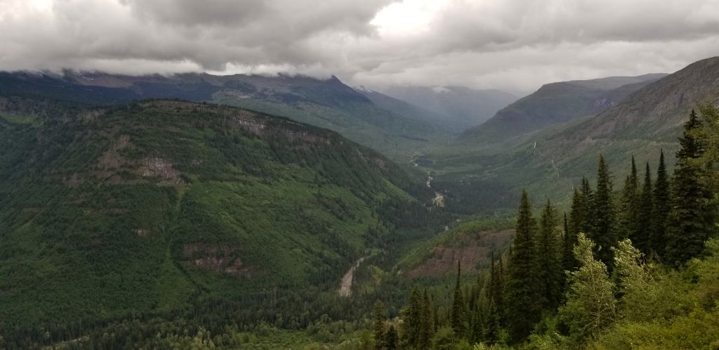
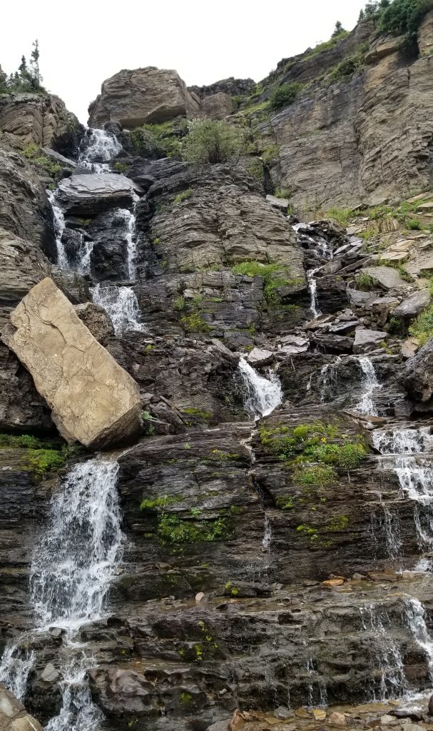
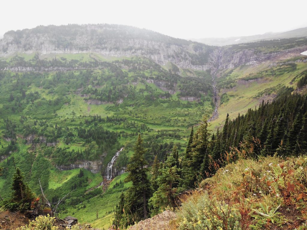
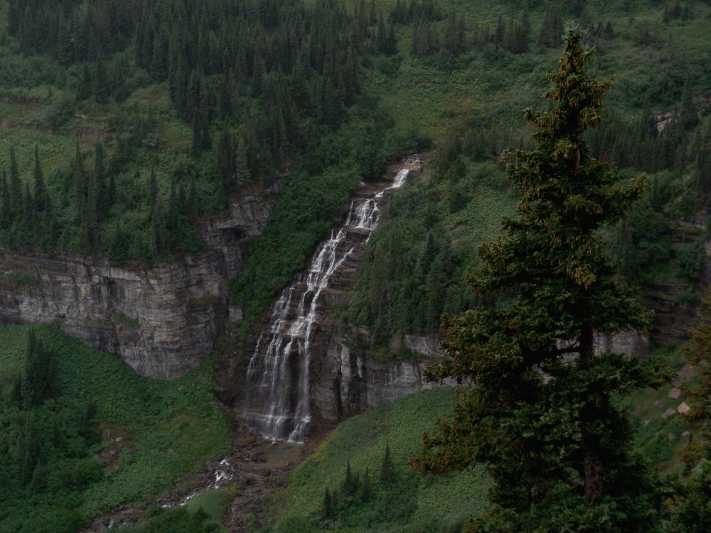
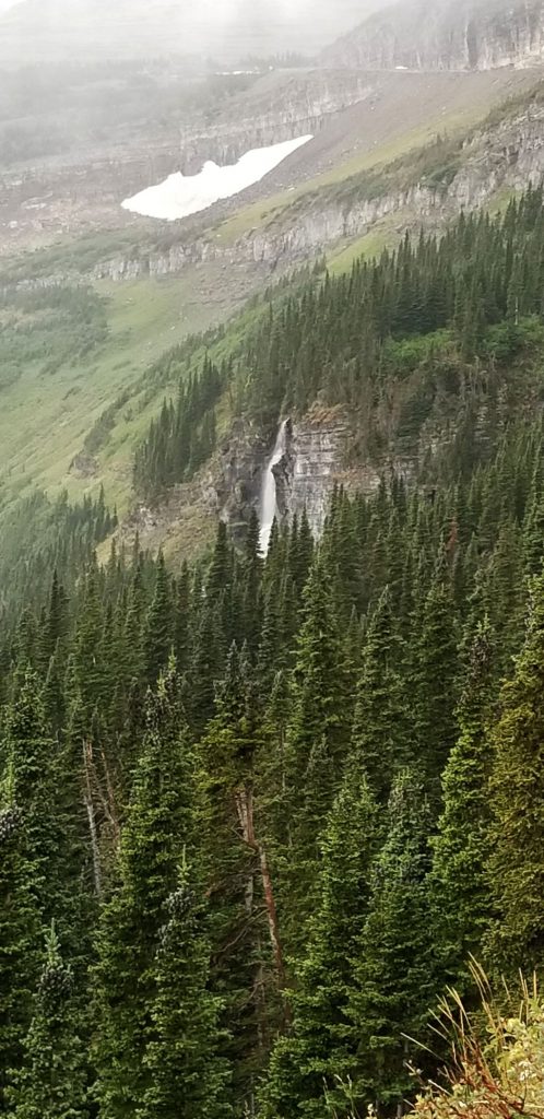
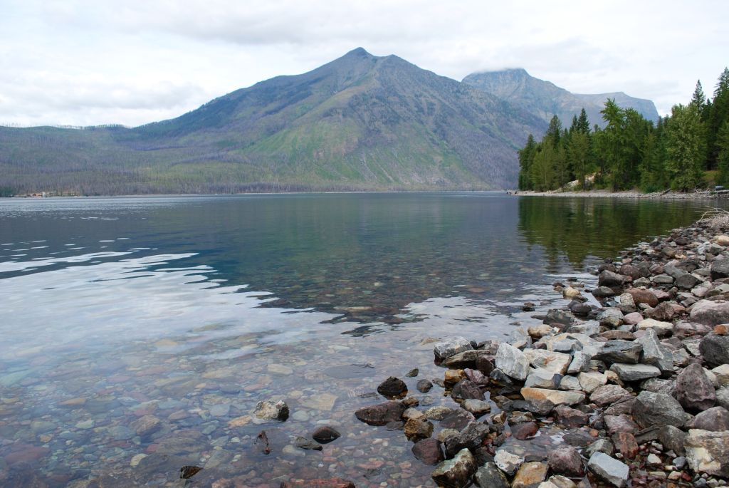
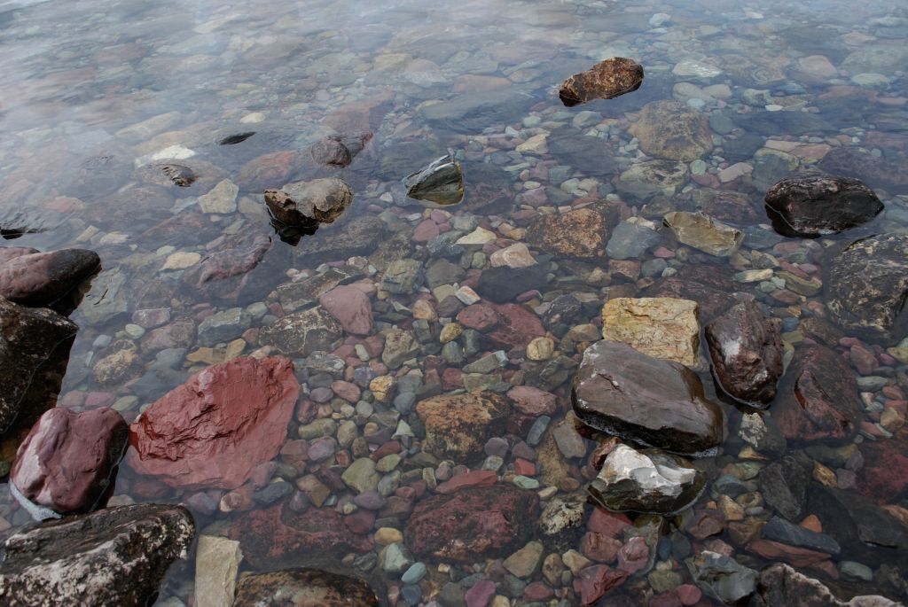
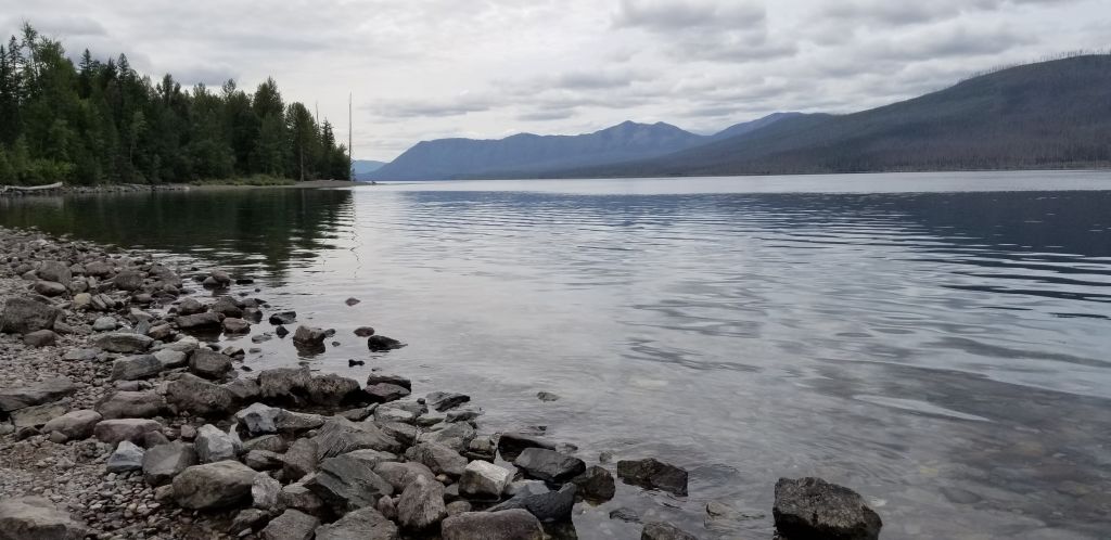
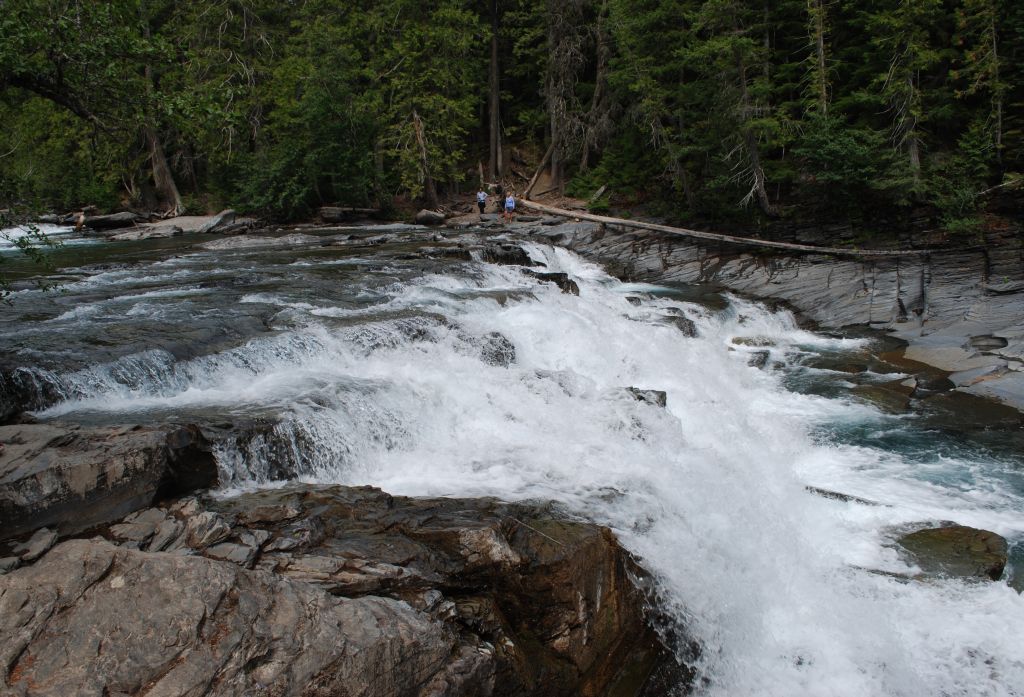
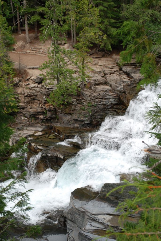
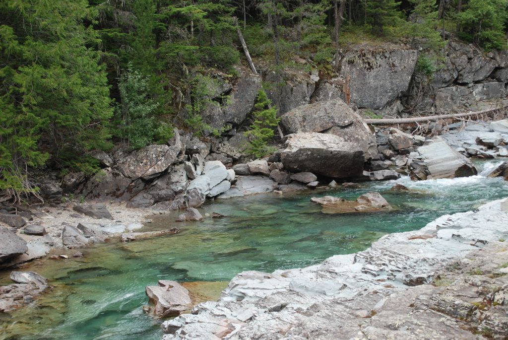
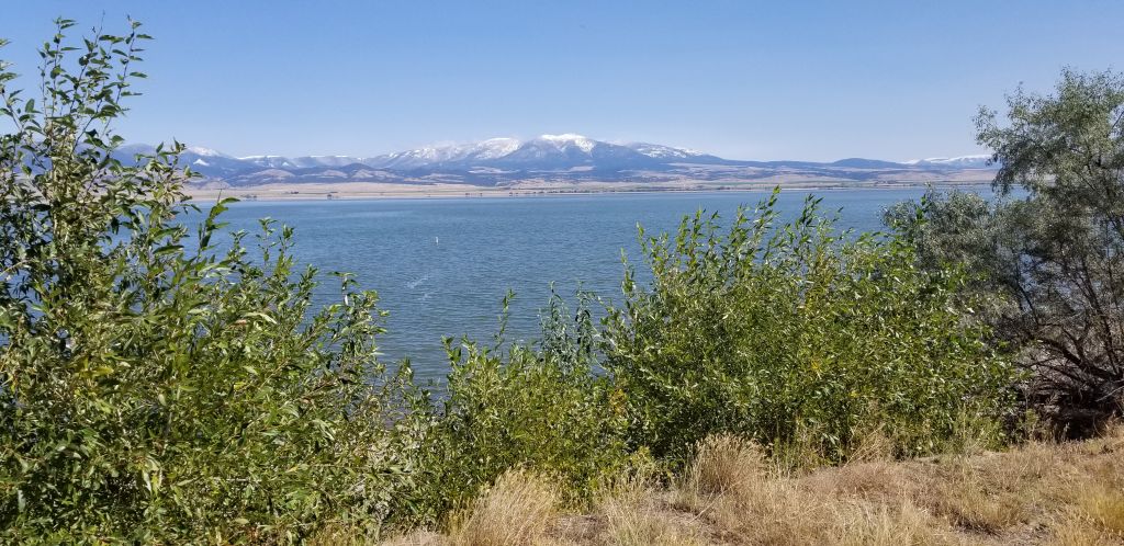
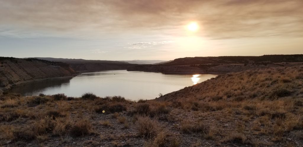
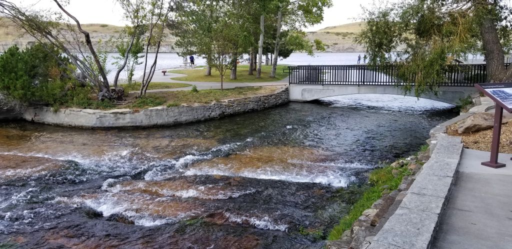
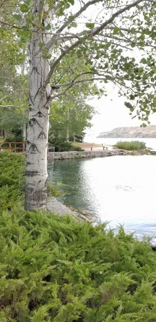
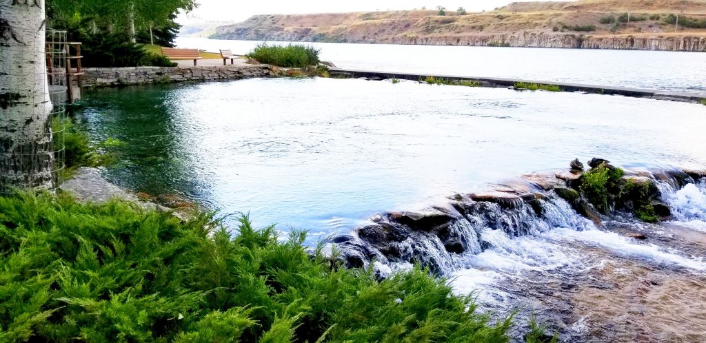
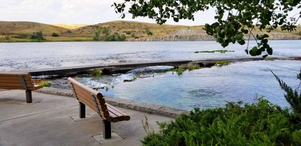
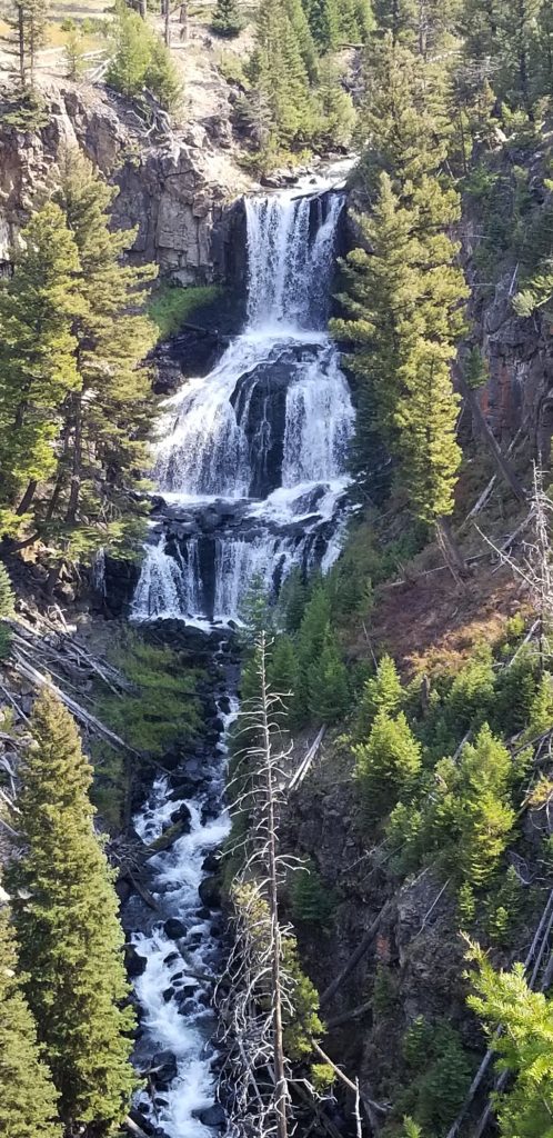
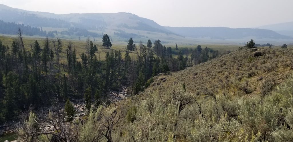
Along the way, I stopped to get a photo of a waterfall and some other scenery. Due to the smoke from the fires in the west, it was very hazy.

Waterfall in Yellowstone National Park

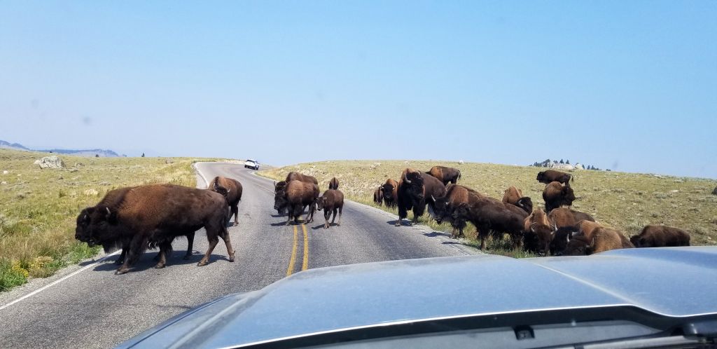
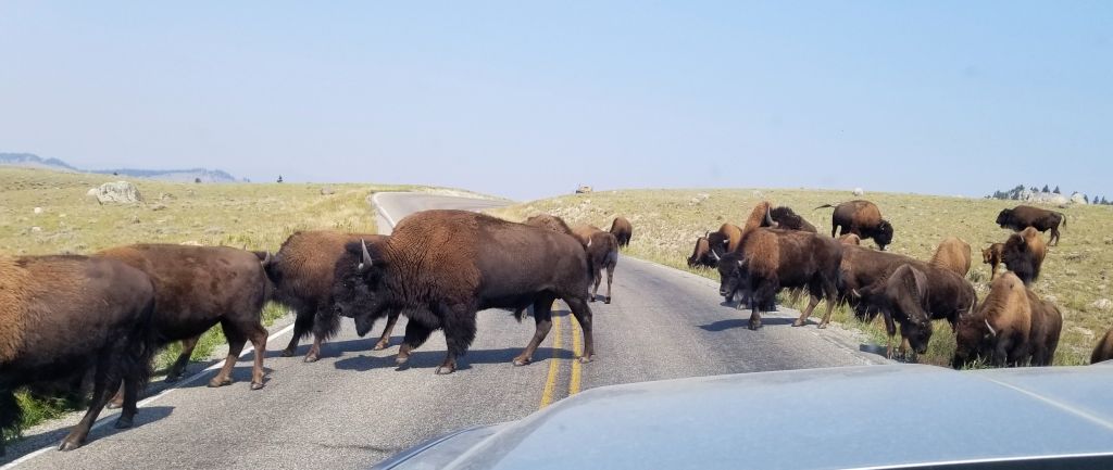
As we traveled through Yellowstone NP, at one point we had to stop to let some buffalo cross the road. Seeing them up close made us realize how huge these beasts are in size.

Buffalo in Yellowstone NP
Smoke and haze along creek and mountains in Yellowstone NP

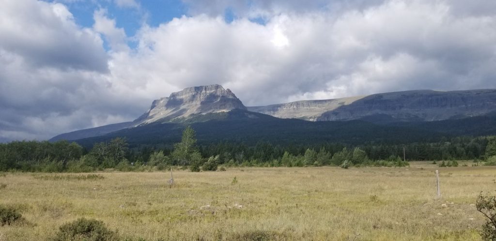
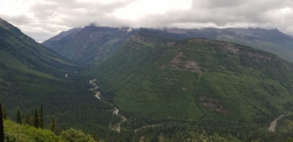
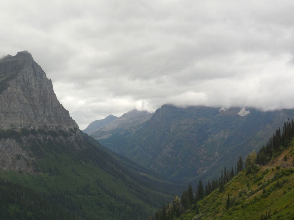
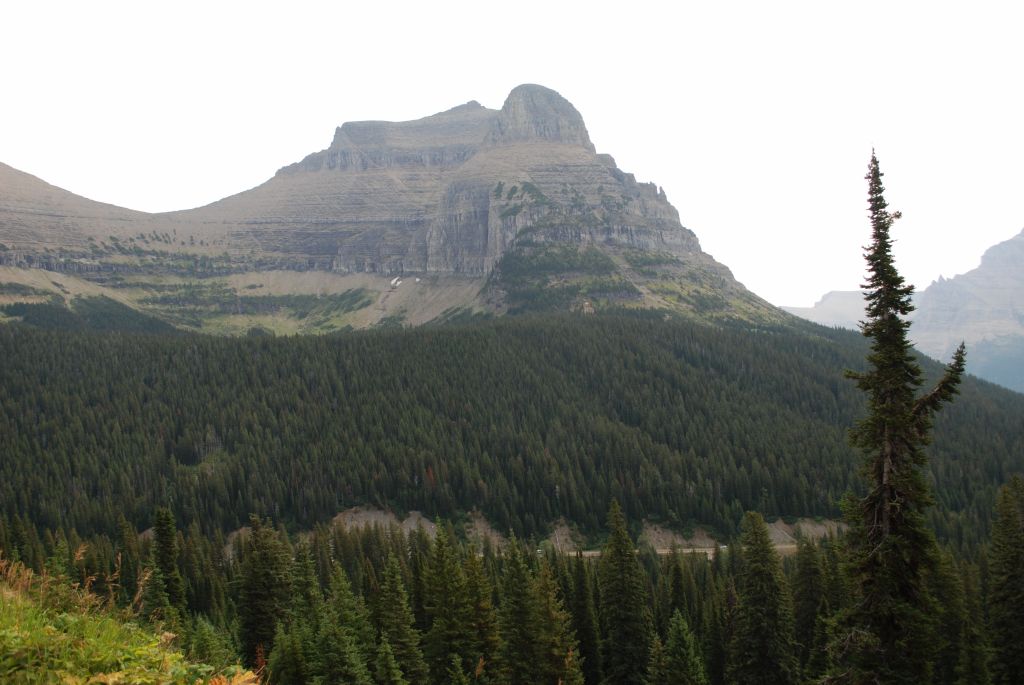
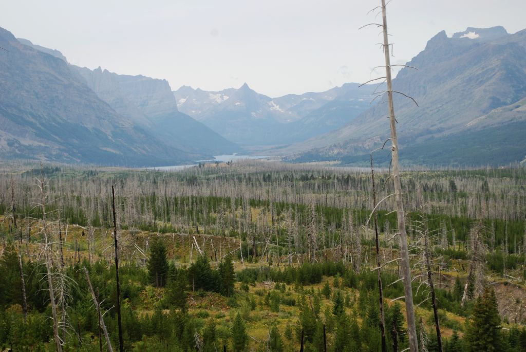
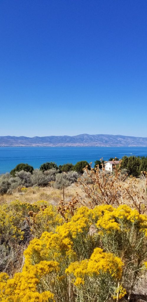
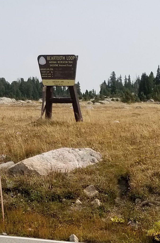
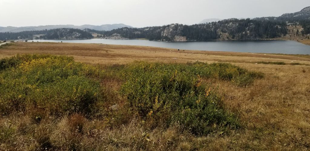
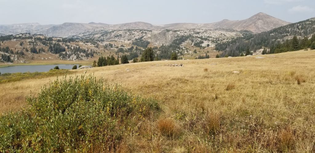
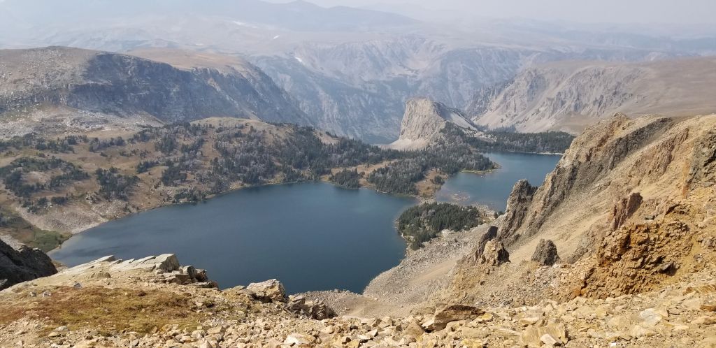
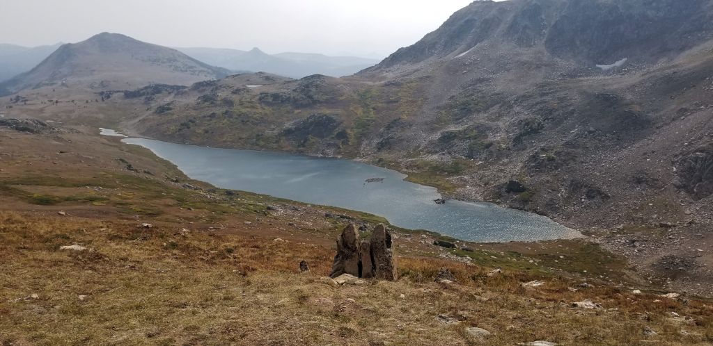
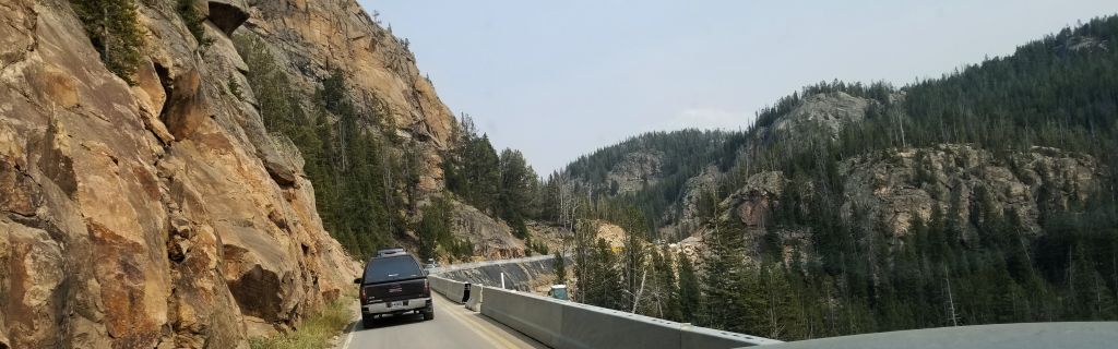
Once you leave Yellowstone NP, the road quickly ascends on its way to Beartooth Pass. This pass climbs to nearly 11,000 feet in elevation giving views of alpine lakes and epic views.

The start of Beartooth Highway
Alpine lake view from Beartooth Highway
A mountain meadow and lake along Beartooth Highway.
Looking back at switchbacks on road to Beartooth Pass
Views of glacial lakes and steep canyons along Beartooth Highway
Glacial lake at top of Beartooth Pass

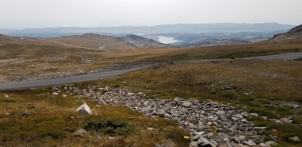
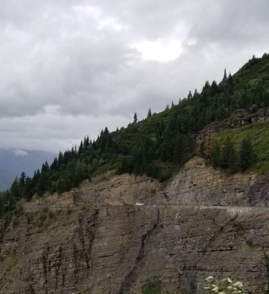
We came across some construction work on the road that had us going along a steep cliff on a temporary roadway. It must take constant work to keep this road in good condition.

Road construction along Beartooth Highway.

I remember traveling this route when I was a kid on one of our family vacations to Indiana. My dad stopped along the road at one point so my sister and I could play in the snow and make snowballs. We never got to play in snow where we lived in the Arizona. That was quite a treat for us in August. (However, this year in 2021, we saw very little snow.)

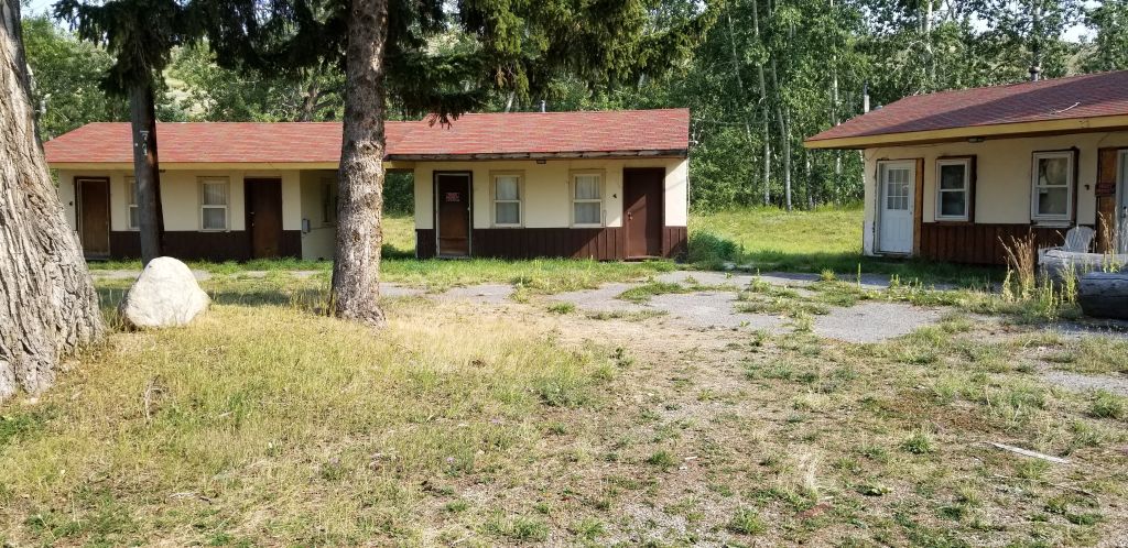
That night our family stayed in Red Lodge, Montana. We ate dinner at a café that served all kinds of wild game dishes. I wasn’t brave enough to try any back then. After dinner, we went back to our cabin where we fell asleep to the sound of a gurgling creek out back of the cabin.

On our day trip there, I found the place where we stayed and got a photo. The place was in bad shape, but it looks like someone may be fixing up some of the units.

The cabins we stayed in many years ago when I was a kid are now in disrepair.
Possibly the location of the cafe where we ate many years ago in Red Lodge, Montana. It is now a pizza place.

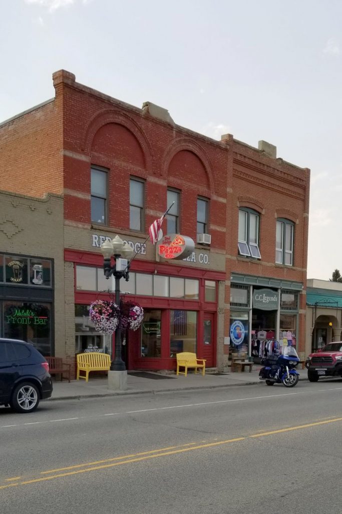
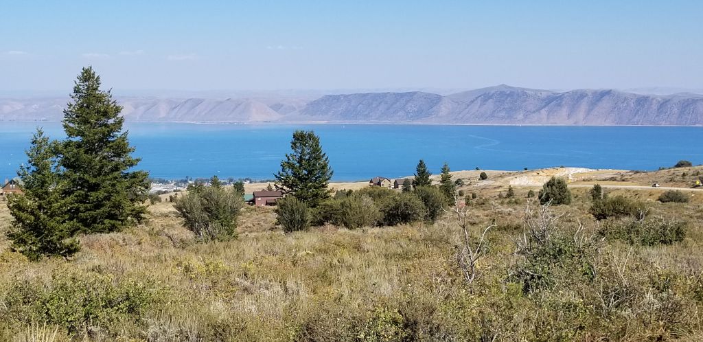
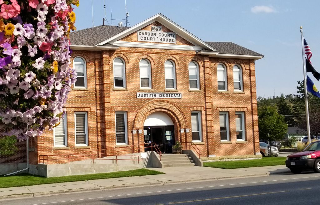
The town of Red Lodge is now a tourist trap with lots of shops and eateries. It also has quite a few luxurious houses surrounding it. It is still a cute and quaint little town, however, and a fun place to visit.

Old Coca Cola sign shows evidence of the past in Red Lodge, Montana
Courthouse in Red Lodge, Montana.
Mural in Red Lodge, Montana
We ate BBQ here for lunch in Red Lodge, Montana.

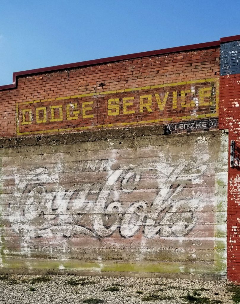
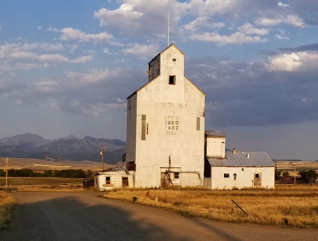
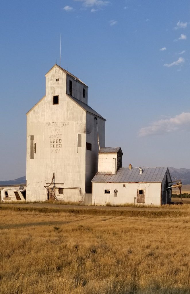
On our way home, I spotted this sight while going through one of the small towns in Montana. I couldn’t resist stopping and getting some photos of the evening sun on this grain elevator. It made a nice ending to our day.

Montana

August, 2021

From St. Mary on the east side of Glacier National Park, we only had a hundred miles to our next stop. We drove several miles through Blackfeet Indian Reservation with beautiful scenery of mountains, grasslands and rolling hills.

Scenery after leaving St. Mary, Montana.

Leaving the reservation we drove parallel to the beautiful Rocky Mountains before arriving at Choteau, Montana, a little farming town.

We took a day trip to Great Falls, MT. We ate at a Mongolian BBQ restaurant that we’d eaten at a year ago. Last year Ray’s knee was giving him so much trouble that he couldn’t get out and walk much. He missed seeing Giant Springs State Park, so we drove there to re-visit it.

Giant Springs State Park where the water bubbles up in the pond area above.

The water from the spring originates in mountains over 100 miles away and flows underground till it bubbles up here. The water is so clear, that you can see the rocks and plants on the bottom.

Giant Springs State Park where the water from the spring forms the Roe River, the shortest river in the world.
Giant Springs State Park
Giant Springs State Park, Montana
Giant Springs State Park

Five waterfalls are within a 10 mile segment of the Missouri River. Having seen three of the five waterfalls in Great Falls last year, Great Falls (which the city was named after) was on our list of sights to see . It is outside the city several miles away. We drove through miles of wheat fields on terrible roads to get there, but it was worth it.

Once there, we walked across a suspension bridge to an island below the dam where there was a grassy park. The river flows around the island.

View up river from suspension bridge
View down river from suspension bridge
Park on island
Warning sign on island below Great Falls Dam

A trail led up a hill that gave us a perfect view of the dam and the powerhouse.

Powerhouse at Great Falls Dam.
Dam and Powerhouse at Great Falls Dam
The falls of Great Falls Dam.

Notice that the dam is spilling water through all the gates. Montana has a lot of water!

Great Falls Dam spilling water.

From the lookout at the end of the trail, we could see down river from the dam and powerhouse.

Down river view from end of trail.

The evenings in Choteau, Montana, displayed some beautiful sunsets.

Our next destination awaited, so after a few days, we were off to a new location.

Glacier National Park

August, 2021

Glacier NP is one of those “can’t miss” places to see. It was one of our main destinations this year. Little did we know that when we started planning our itinerary back in February of 2021, that campgrounds near the park would already be filled up til mid-August. That meant that we needed to kill some time before we could get to Glacier National Park.

We decided to spend June and July and the first part of August seeing parts of Oregon and Washington, and I’m so glad we did. We had fun, cool weather (for the most part) and we got to see some beautiful sights.

Now, you can’t just drive into Glacier NP anymore. You have to have a Park pass (we had a Senior National Parks Pass) PLUS you need a ticket for Going to the Sun Road. That ticket is good for 7 days, but you have to go online ahead of time to reserve your time. This limits the number of people who can enter the park on any given day. Since there is only one road going through the park, it gets a lot of traffic.

The day we finally got to visit Glacier NP was a rainy day. Though the rain kept some people away, it was still hard to find a parking spot at the scenic turn-outs. So we just drove.

Up, up the mountain we drove, on curvy, windy, roads with only a short rock wall separating us from the edge of the cliff and valley below. Ray was driving, and I took photos out the window. It made me nervous to look straight down. Ray was in the driver’s seat so he wasn’t scared. Later, when I was driving up the same road and Ray was in the passenger seat, he said he felt a little scared too.

The Road to the Sun in Glacier NP is not for anyone afraid of heights!

The road is very narrow, and at times it seemed like we would scrape the other cars as they passed by. We finally found a turnout where I could get some photos of the valley.

Valley carved by glaciers in Glacier NP
Going to the Sun Road winds through the valley of Glacier NP along McDonald Creek.

Along the way, we saw some waterfalls with a boulder that looked like it could roll right down.

Waterfall on the Going to the Sun Road, Glacier NP.

I was really disappointed that there were no glaciers to see. We saw what looked like patches of snow. I wouldn’t really classify them as glaciers. The valleys were carved by glaciers years ago so the name is still appropriate.

Some small patches of snow from glaciers are seen here.

As we climbed higher and higher in elevation, the clouds settled down over the top of the mountains and it got foggy and misty. The highest point was Logan Pass where Logan Visitor Center is located. The parking lot was full, so we drove a short ways and stopped at a turnout at Lunch Creek where we ate our picnic lunch.

Lunch Creek waterfall
Close up of Lunch Creek waterfall.

From there we could see another waterfall and the remains of a glacier.

Waterfall and glacier

We got there just in time before the mist enveloped us. We decided to turn around and go back the way we came instead of driving through the entire park that day. It was a good choice. By the time we drove back through the valley, we were able to find parking at some of the viewpoints that had previously been too packed to stop.

Colorful rocks cover the bottom and line the sides of McDonald Creek.

My grandfather’s name was Lake Macdonald, so of course I wanted to see Lake McDonald. (spelled differently). The rocks on the bottom of the lake and on the shore are a beautiful array of colors.

Lake McDonald
Colorful rocks on the shore of Lake McDonald
Lake McDonald

We visited the park a total of three different days. The weather never did get sunny. One of those days I hiked to McDonald Falls.

McDonald Falls
Up river from McDonald Falls

As we drove upstream alongside McDonald Creek, we found another waterfall and interesting views.

Cascade Falls along McDonald Creek
Blue-green waters of the melted glaciers at McDonald Creek

On our third day in Glacier NP, we drove completely through the park, barely stopping except to eat our lunch. At Logan Pass, the road winds down to the small town of St. Mary.

We drove from one end of the park to the other, and then drove around the outside of the park on the south side back to where we started. It was also a beautiful drive, but long.

Coming down the other side of Logan Pass

The other side of Logan Pass is much different in that it suffered damage from recent forest fires that changed the look of the landscape. There is a lake on that side too–St. Mary Lake which is about 1500′ higher in elevation than Lake McDonald.

Fire damage and St. Mary Lake in background.

Even with the recent rains, the smoke from fires in the western states came back quickly to make a haze over the mountains. We had planned to stay a few days in St. Mary, but due to the smoke, we decided to leave early. Our pass for Going to the Sun Road had expired, and we were ready to move on.

White Sulphur Springs, Montana

September 2020

We stayed for two weeks in White Sulphur Springs, Montana, a small town with a population of less than 1,000. There are lots of beautiful areas in and around this quaint little mining town.

Nearby, there are wheat and hay farms. Everyone grows hay here, it seems. They roll the hay in big bales and use most of it for feeding their own livestock. Winters are harsh here, so I’m sure it takes a lot of hay to last all winter long.

One afternoon, we drove around the back dirt roads around the town. Here are some of the sights we saw.

One day while driving toward Bozeman, Montana, we found this quaint old church from 1898.

And nearby was this iconic view of a typical Montana ranch. Notice the rows of bales of hay to the right.

In September, we moved to a KOA outside of Townsend, Montana, just a few miles from Helena, Montana. One evening it rained and we could see snow on the nearby mountains across the lake. However, in a couple of days the temperature was up in the 80’s again.

As we made our way south, we stayed in Downey, Idaho, for a couple of nights. We were really close to Bear Lake in the corner of Southeast Idaho and northeast Utah, so we decided to take a day trip to see it. We drove most of the way around the lake. It was hazy from the wildfires, but the water was still a beautiful turquoise blue.

Further south, we stayed at a nice campground in Duchesne (pronounced du-shane), Utah, which was right by a reservoir. It would have been nicer if there wasn’t so much smoke from a nearby fire.

The fire nearby.

Categories: Airstream Travel, RV Travel Tags: Airstream, Airstream Travel, Bear Lake, Duchesne, Full Time RVing, Idaho, Montana, Montana back roads, Montana travel, Old Sedan Church, Places to see in Idaho, Places to see in Montana, Places to see in Utah, RVing, Townsend, Utah, White Sulphur Springs

Great Falls, Montana

August 23, 2020

We traveled north into Montana and camped at Conestoga Campground and RV Park in White Sulphur Springs. This was our view out our window.

The RV Park even had it’s own fish pond.

We like to camp in one place for a couple of weeks and take day trips to places around our base camp. One of our side trips while in Montana was to Great Falls, Montana. We were happy to find a Mongolian BBQ that was open. It was one of the first times we were able to dine in at a restaurant since the Covid-19 pandemic.

From there, we drove alongside the Missouri River to see Black Eagle Falls and Rainbow Falls. Other stops were at Giant Springs State Park and the Lewis and Clark Interpretive Center.

The drive to Great Falls was beautiful through the mountains and forests. This is a lookout just a few miles outside of Great Falls.

There are five falls within a 10 mile stretch of the Missouri River. The one seen below is Black Eagle Falls which is right in the middle of the city of Great Falls.

The next one seen below is Rainbow Falls.

As you can see, there are power houses built before each of the falls to maximize electricity generation for the area.

Between Black Eagle Falls and Rainbow Falls is Giant Springs State Park. Giant Springs is one of the largest freshwater springs in the nation. It is the source of the Roe River, one of the world’s shortest rivers. Roe River flows into the Missouri River. But the source of the springs itself comes from miles of underground water from the mountains miles away. The water the bubbles up from cracks in rocks into a pool and runs over rocks into the Missouri River. By the way, did you know that the Missouri River is the longest river in North America?

The park grounds were green and beautiful.

Notice how clear the water is!

In the photo below, you can see where the water bubbles up out of the rocks below and into the pool.

You can faintly see circles in the water where the water is bubbling up.

The world’s shortest river of just 200 feet.

Beyond the walkway is the Missouri River.

The Missouri River is also the river that explorers Lewis and Clark traveled to find a waterway to the Pacific and to explore the large region of the Louisiana Purchase. We stopped at the Lewis and Clark Interpretive Center. One floor of exhibits was closed due to the pandemic, but the top floor still had some interesting exhibits, including a panorama of what it was like to carry heavy dugout canoes around each of the falls in this area.

The Lewis and Clark Interpretive Center

It’s interesting to see sites where history took place in the beginnings of our country. I would love to come back to Great Falls, Montana, and explore the area and its history further.

Categories: Airstream Travel, RV Travel Tags: Full Time RVing, Giant Springs State Park, Great Falls, Montana, MT, RVing, Sites to see in Great Falls, White Sulphur Springs