“The Switzerland of America”
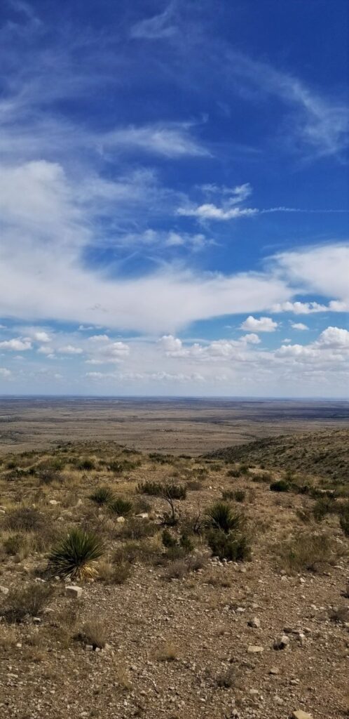
At 7,800 feet elevation, Ouray, Colorado, (pronounced “YOU-ray”), in a canyon surrounded by steep mountains on all sides, seemed like a perfect place to spend a hot summer day. It was named after Chief Ouray of the Ute Indian tribe.The town was originally a gold mining town. The Camp Bird Mine produced over one million ounces of gold by 1917.
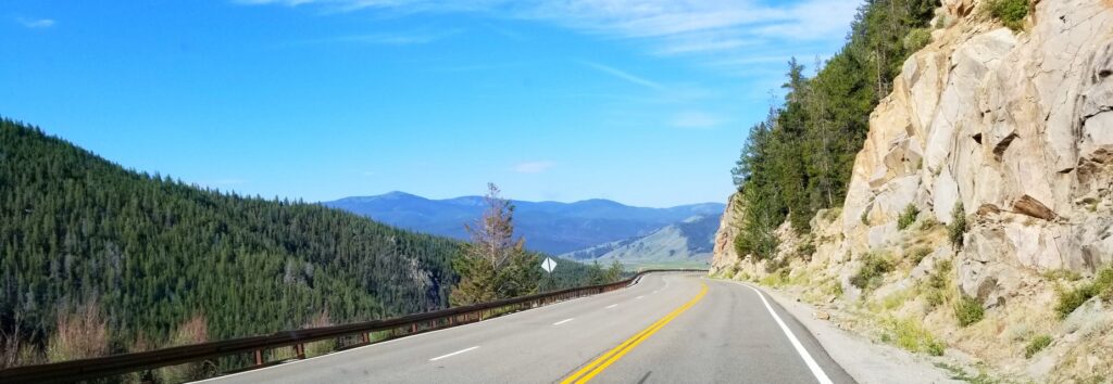
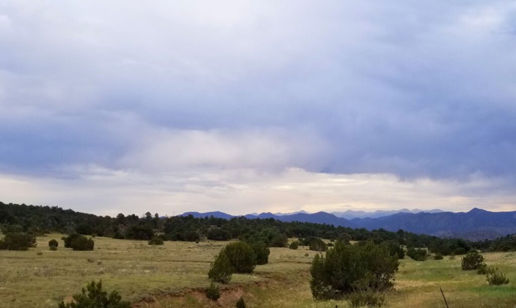
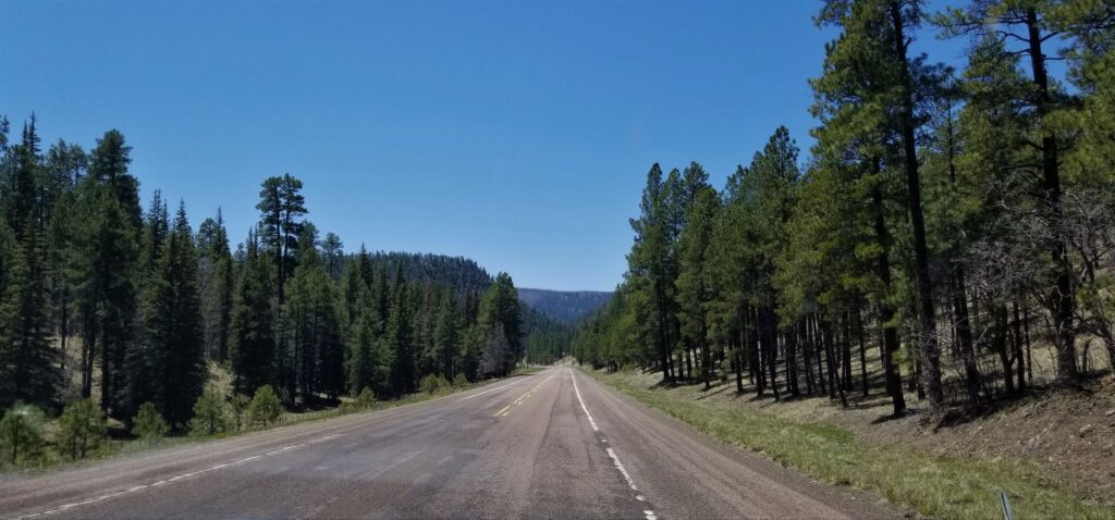
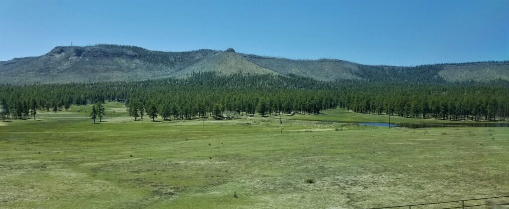
For us, it was a two-hour drive to get there, and actually took longer because of a half-hour delay both ways for road construction. But it was definitely worth the drive.
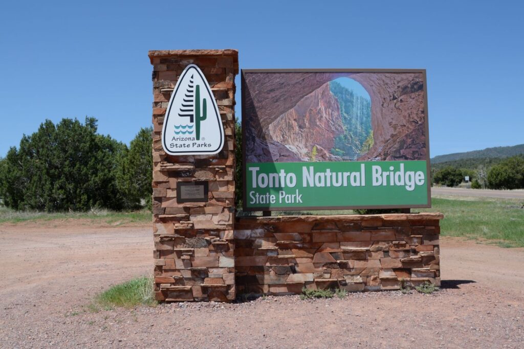
Our first priority was to see Box Canyon Falls. It is a city park not far outside of town. Long ago, it was up for sale for $5,000, but it never sold. It was deeded to the city for $75 to preserve it for everyone’s enjoyment.
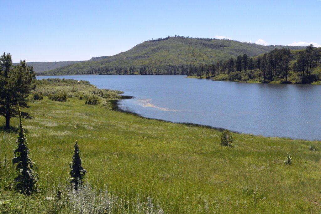
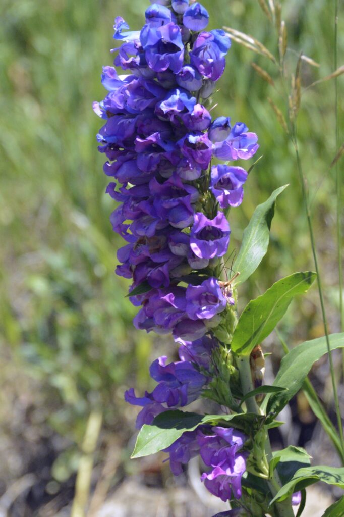
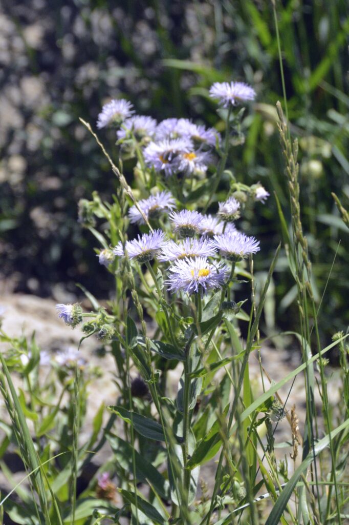
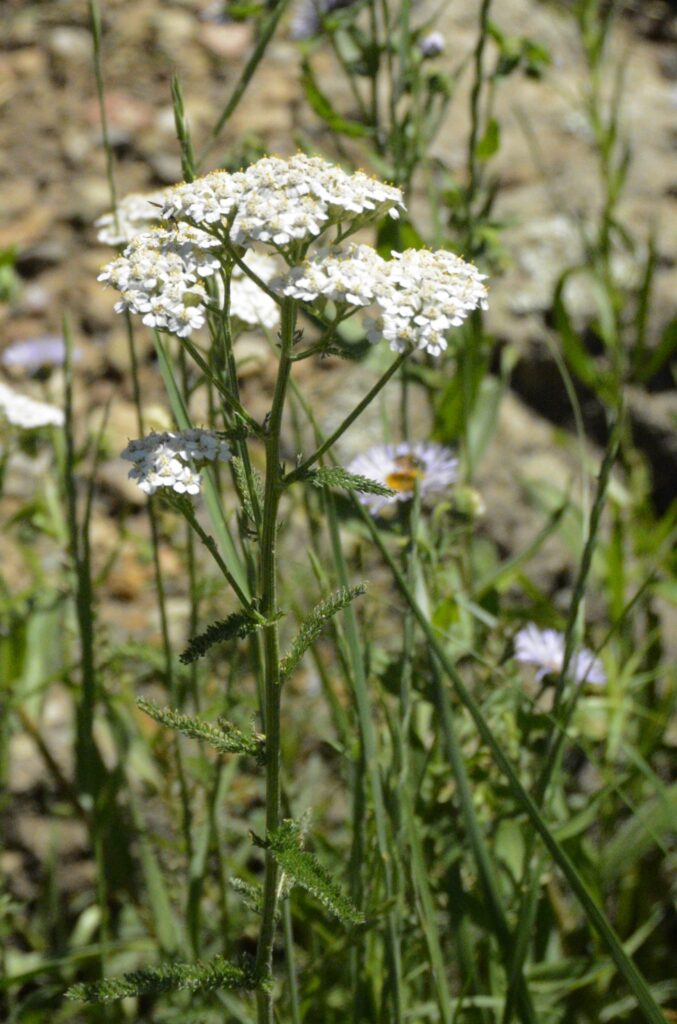
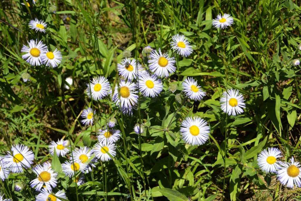
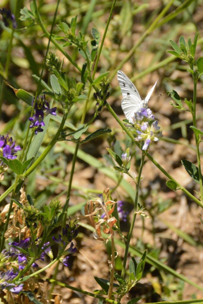
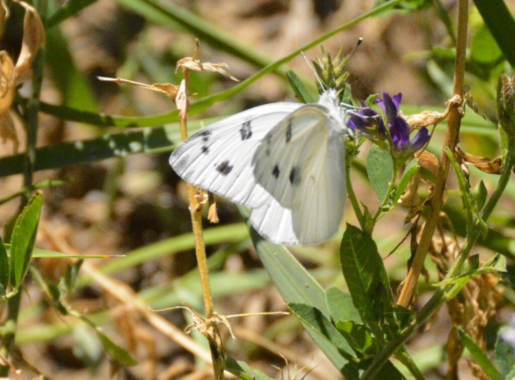
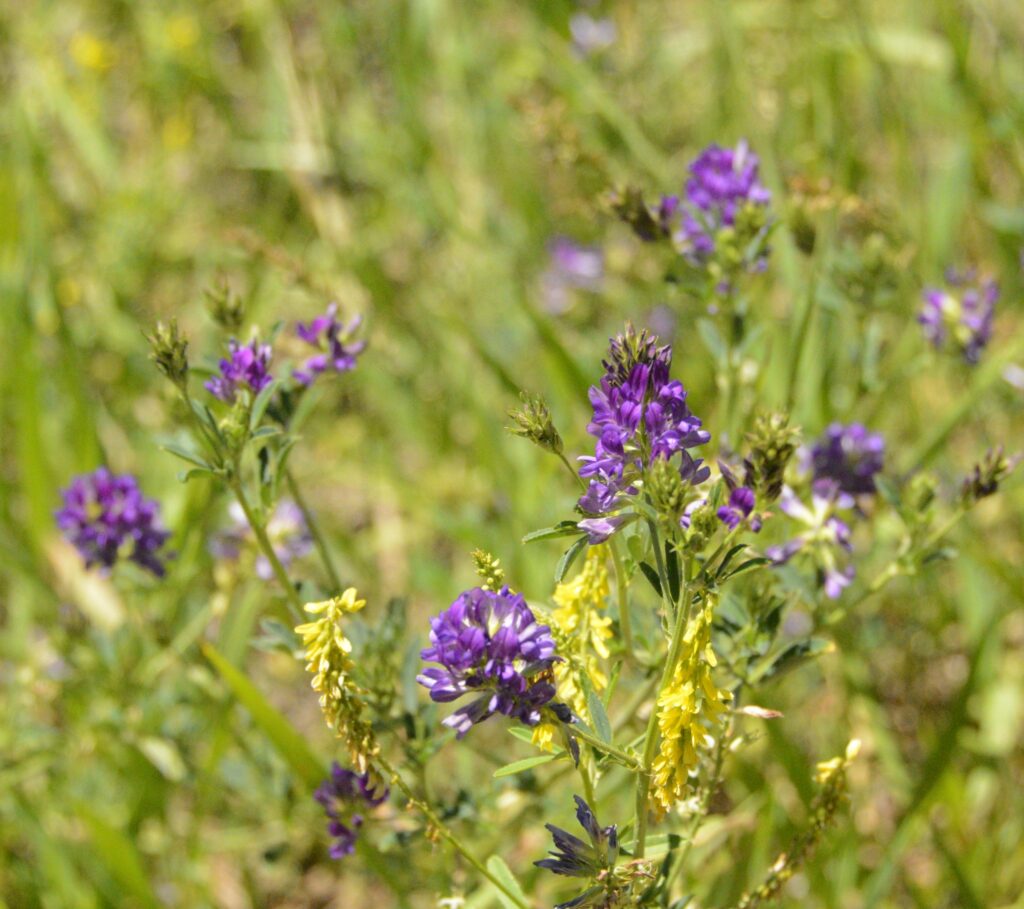
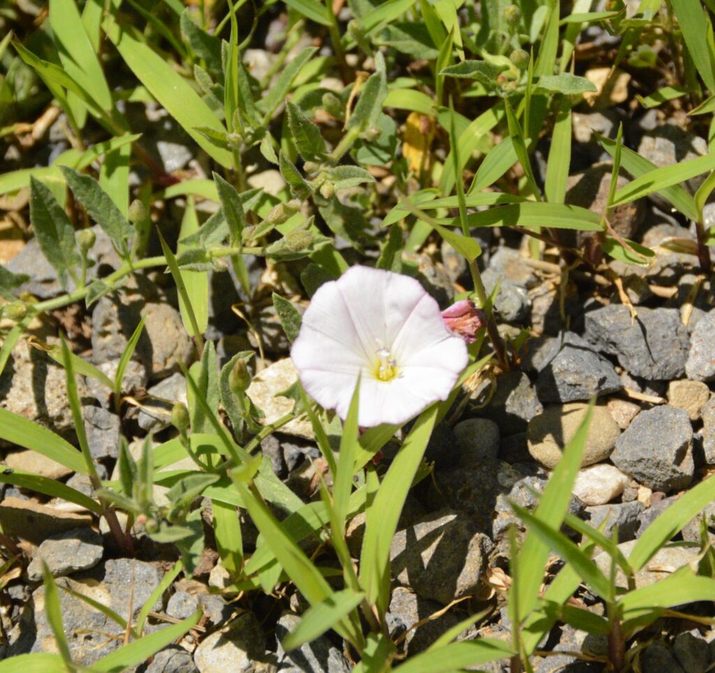
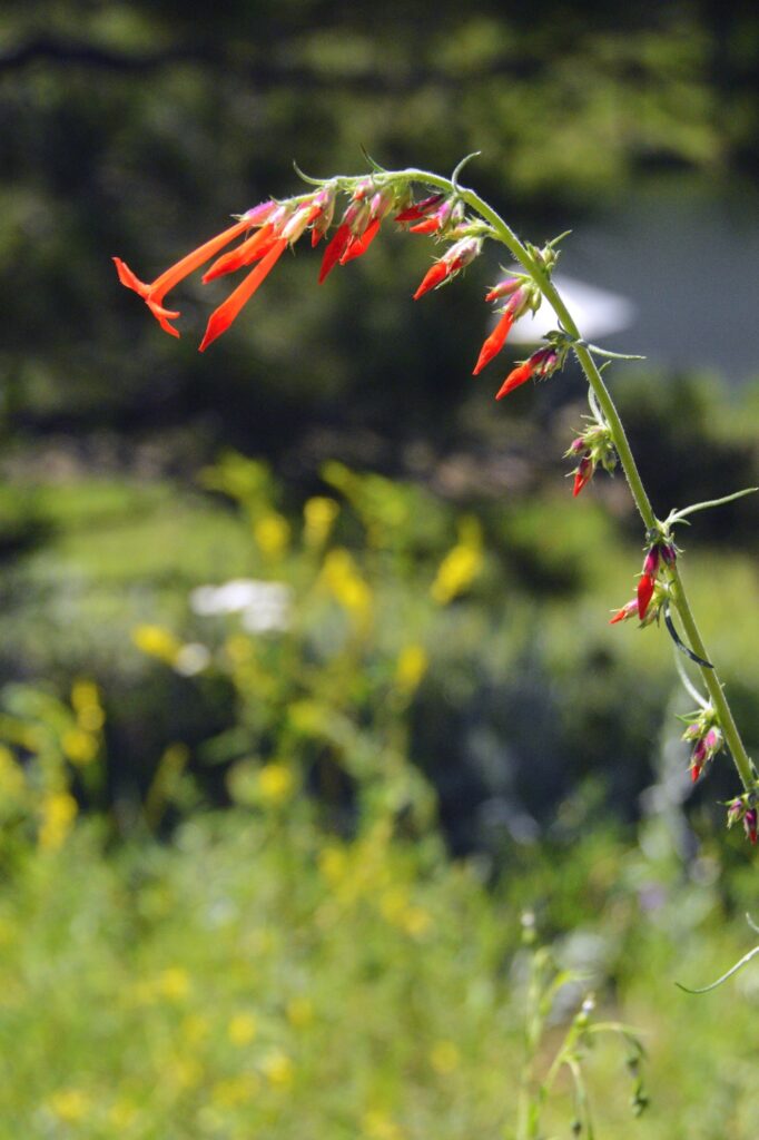
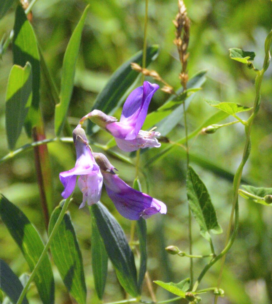
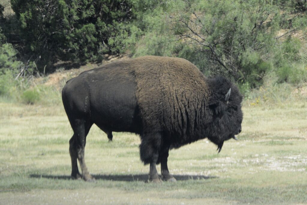
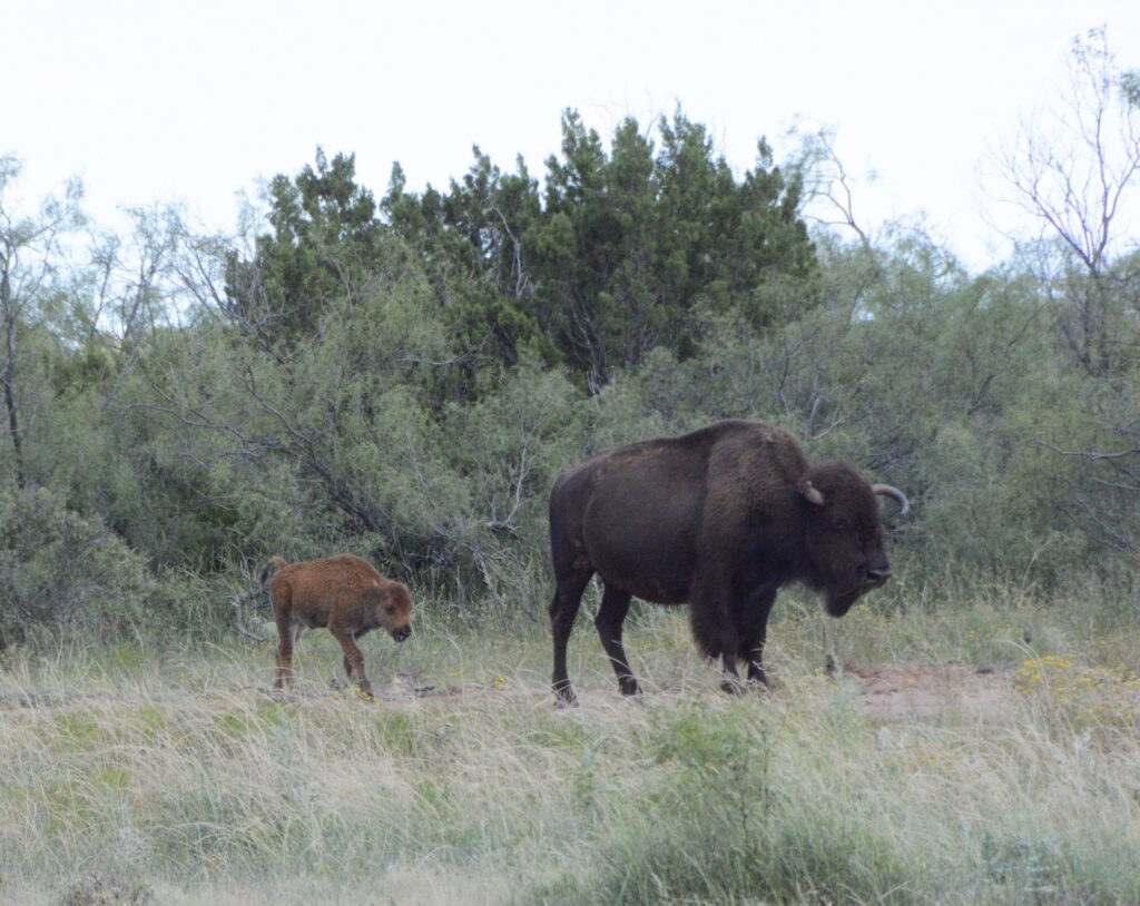
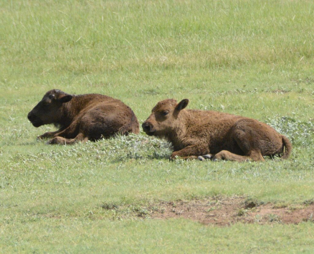
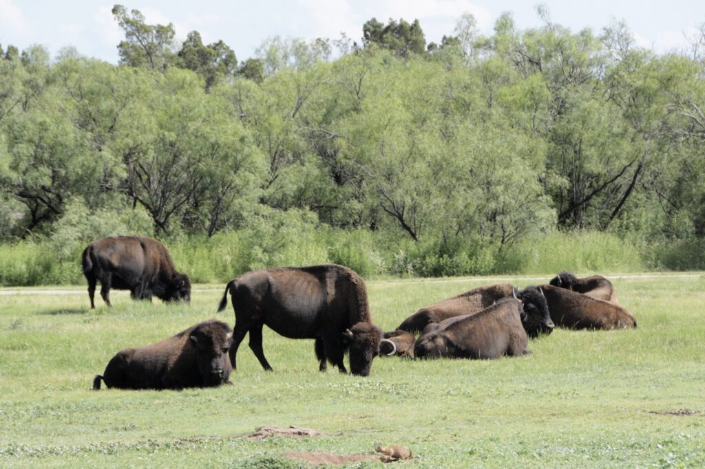
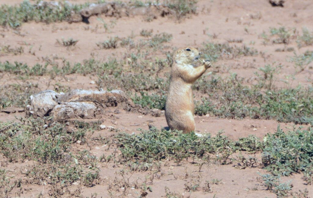
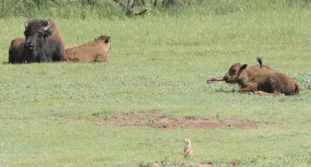
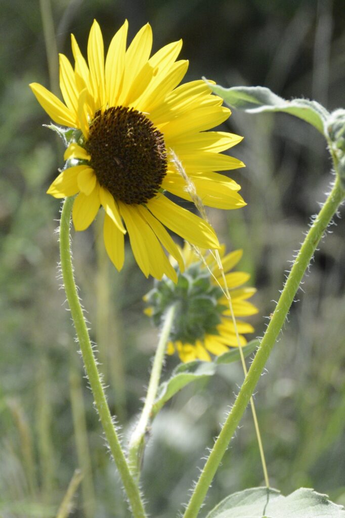
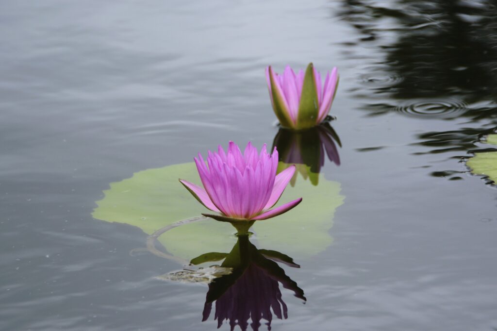
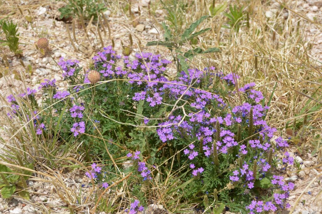
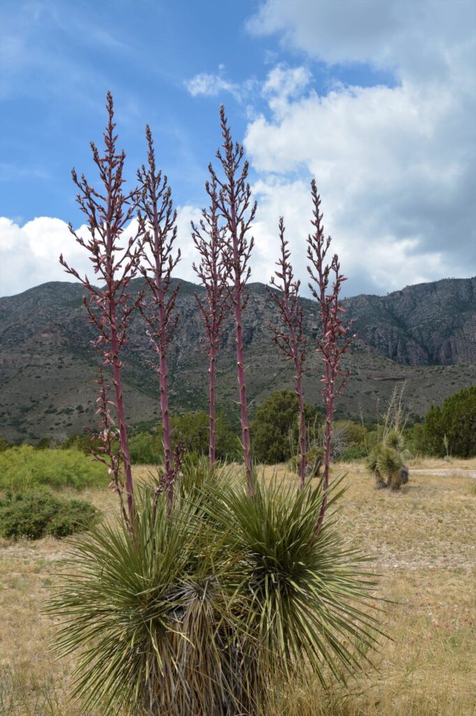
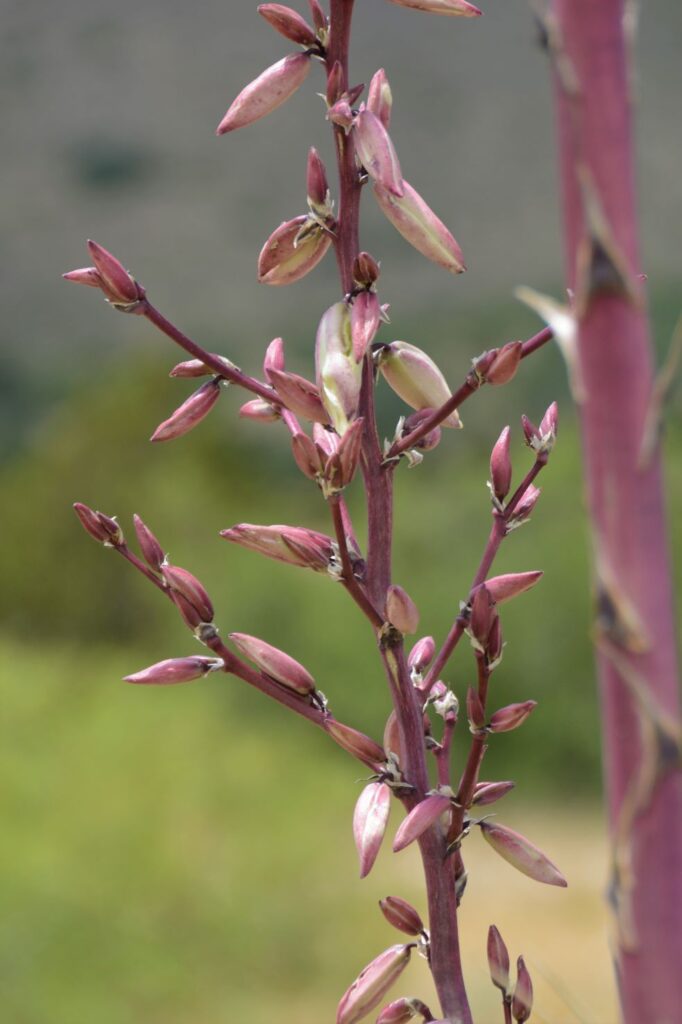
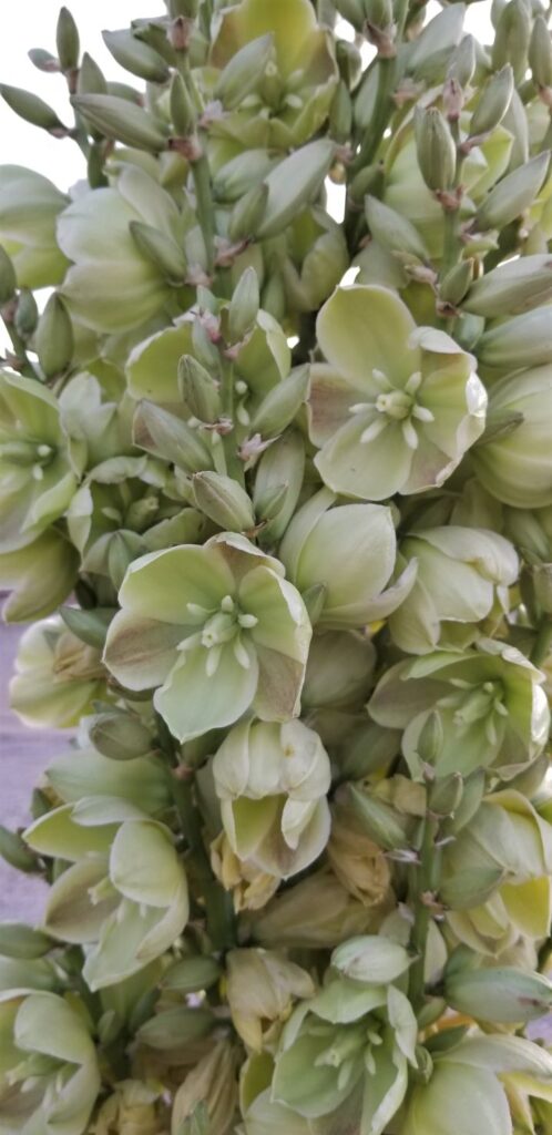
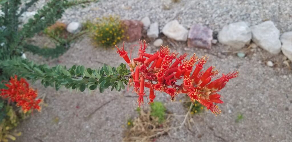
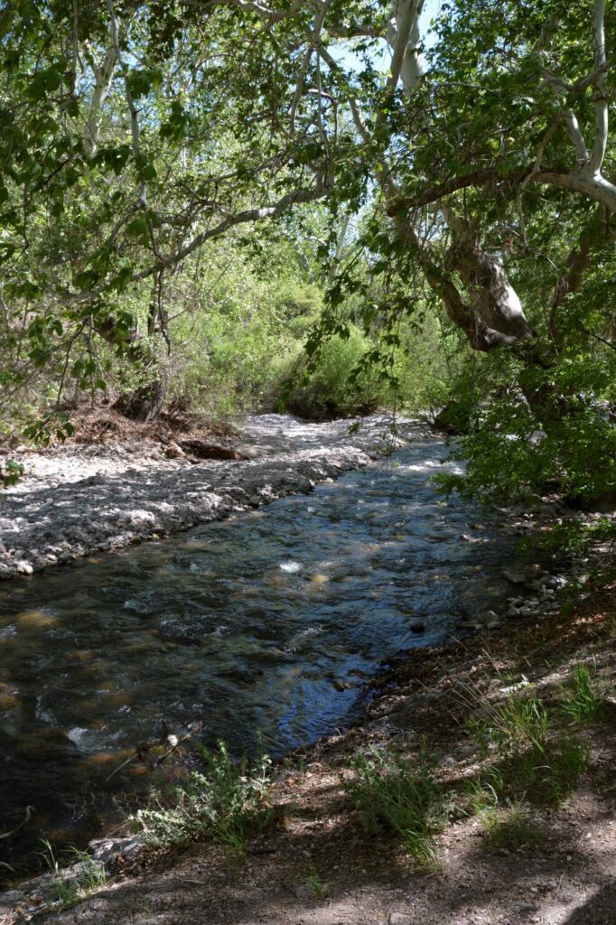
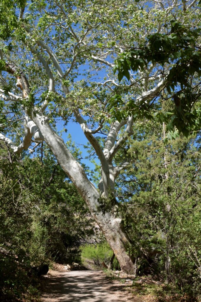
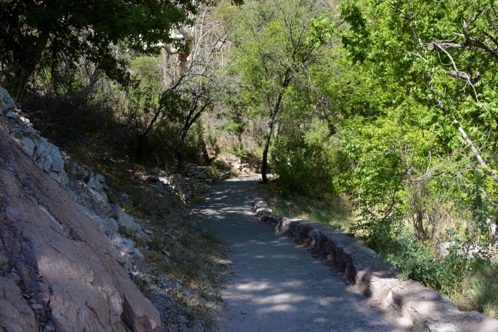
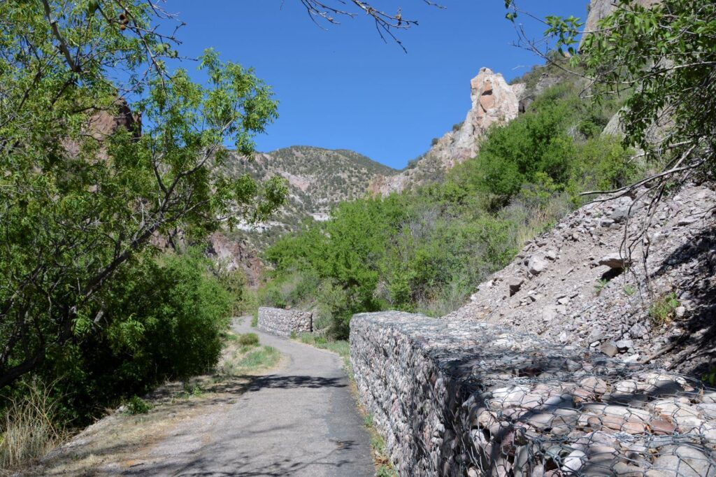
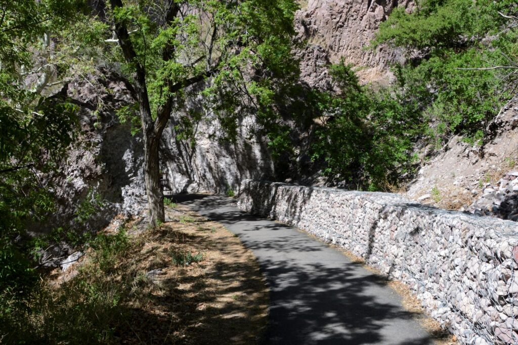
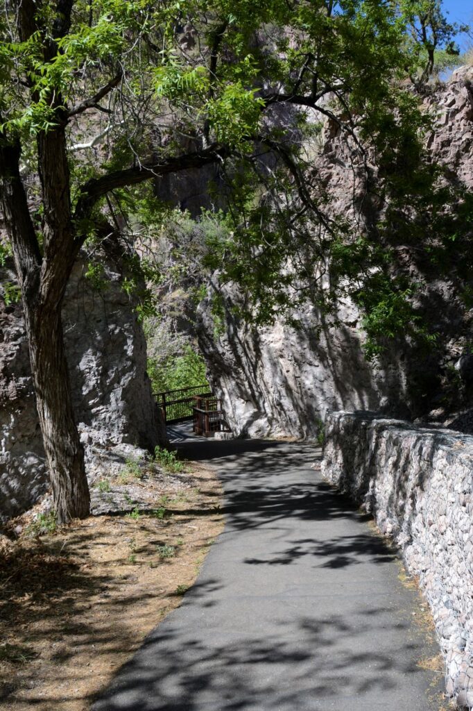
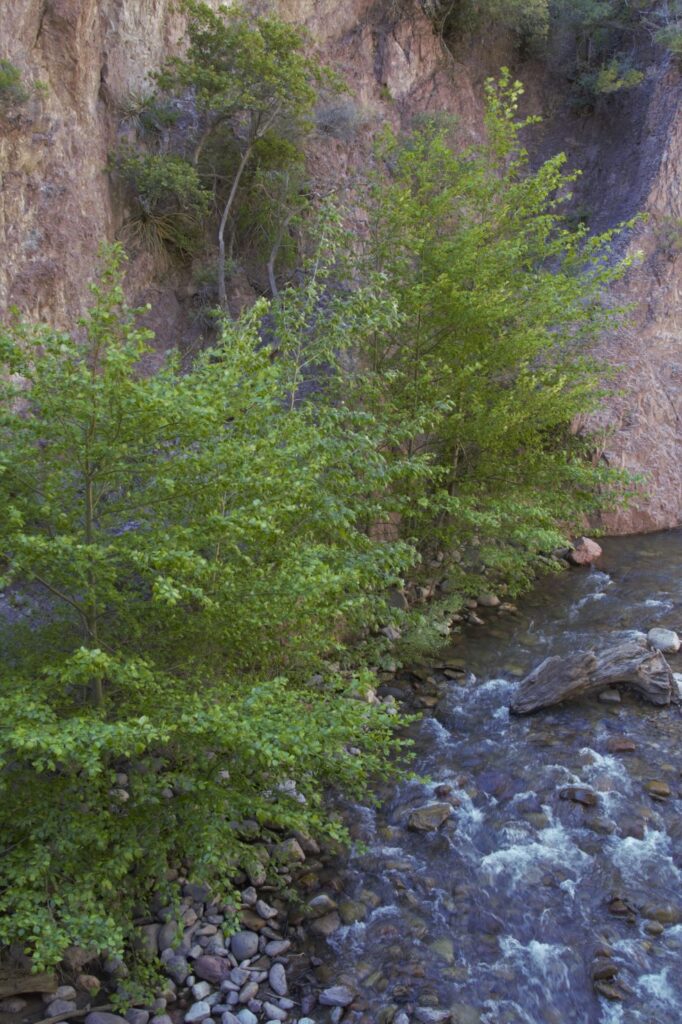
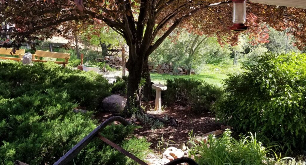
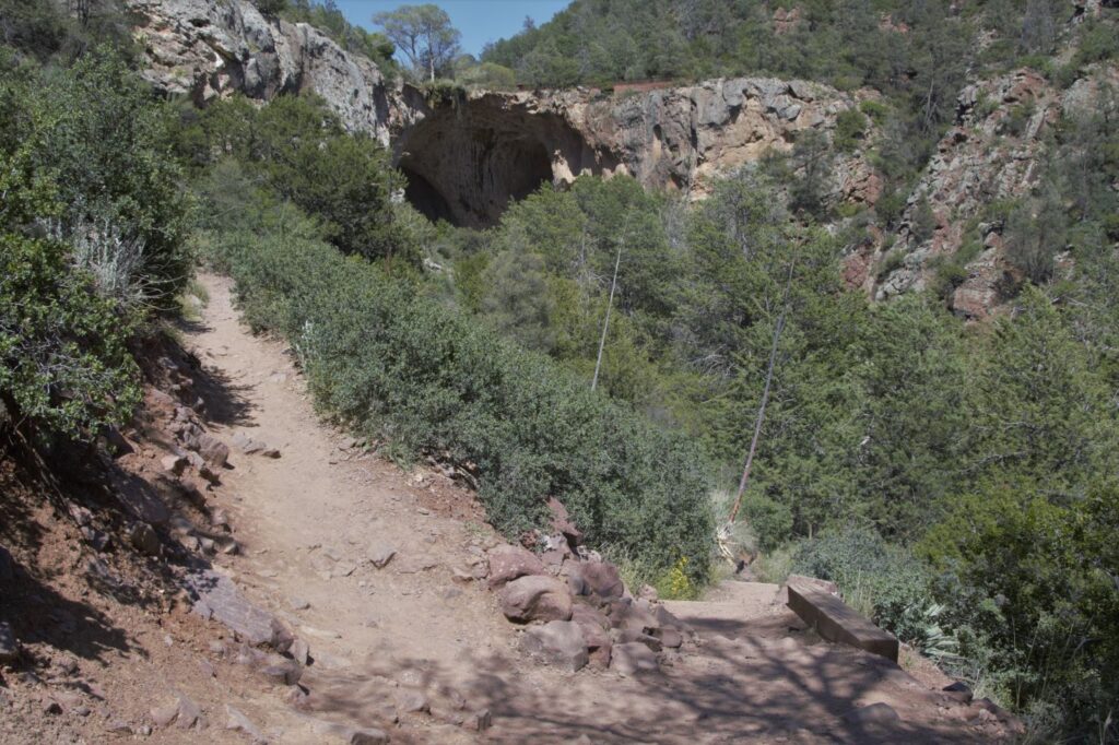
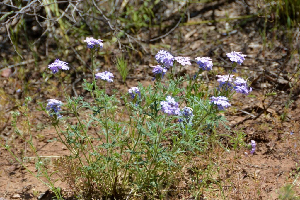
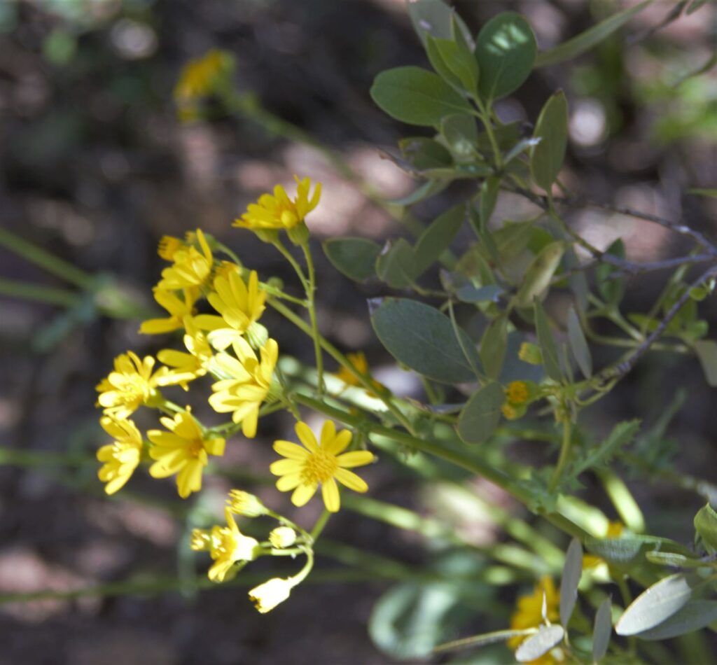
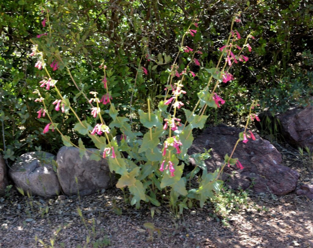
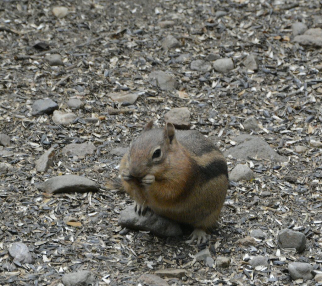
The parking lot was small, but we managed to squeeze into the last spot available. It was a short, easy walk to the falls. Along the way we saw some wildlife.
We could hear the falls long before we could see it.
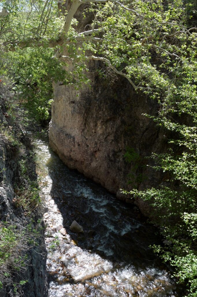
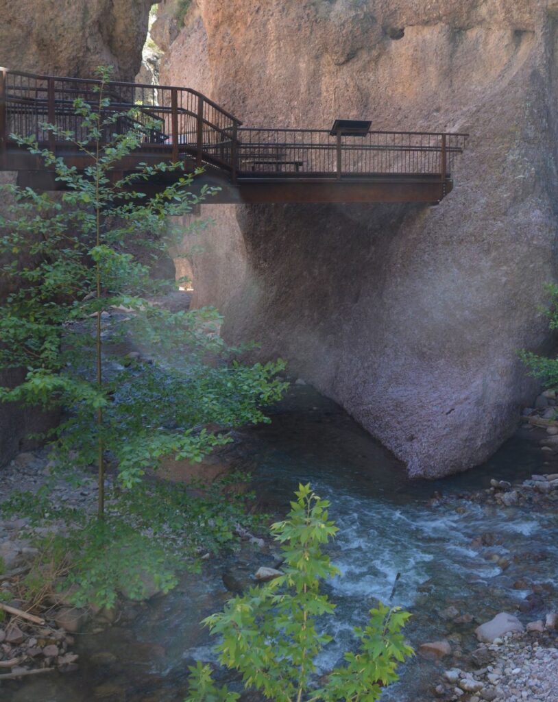
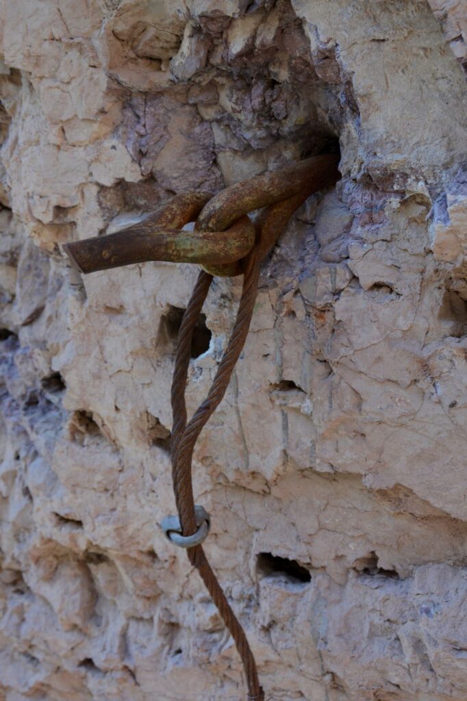
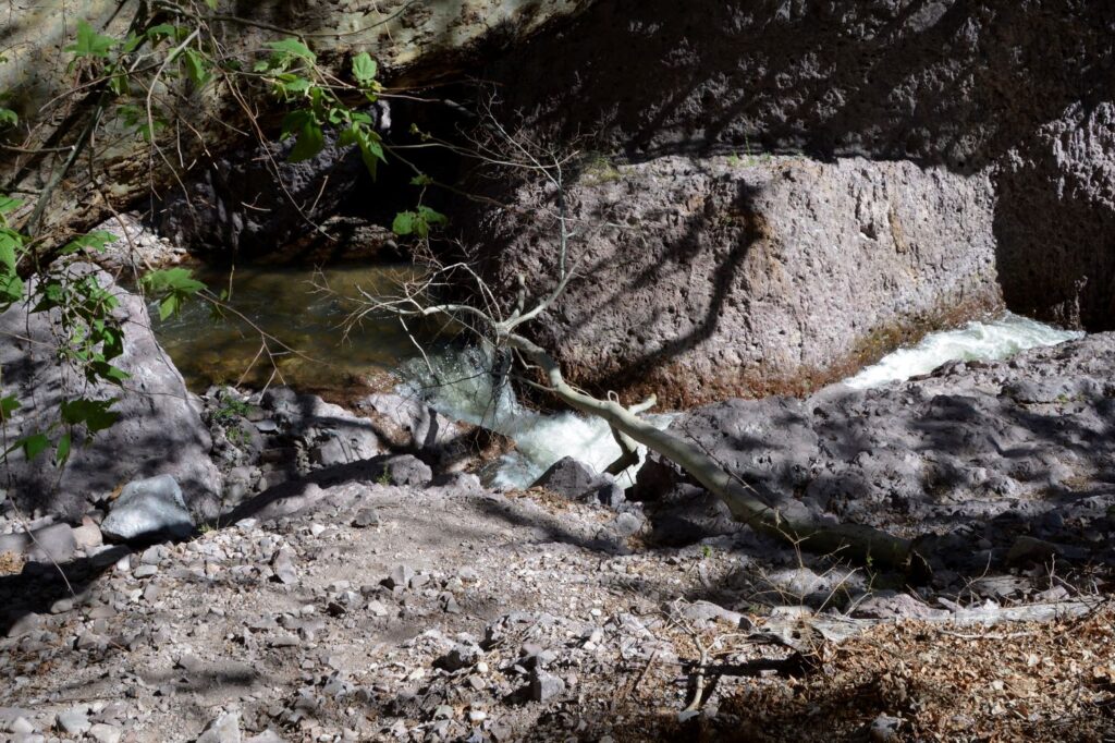
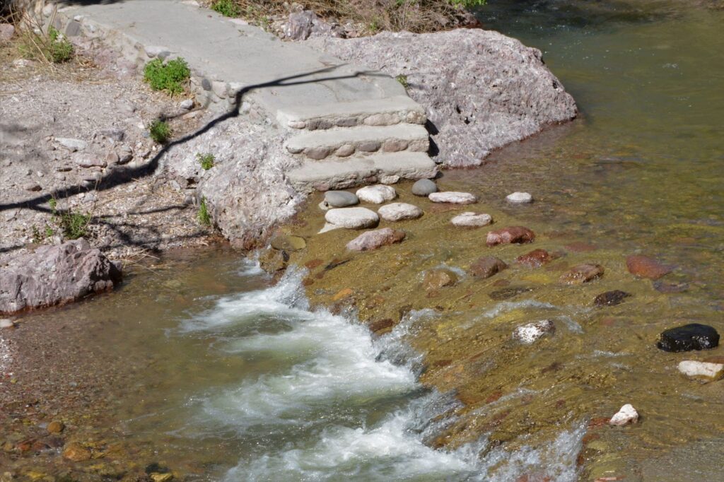
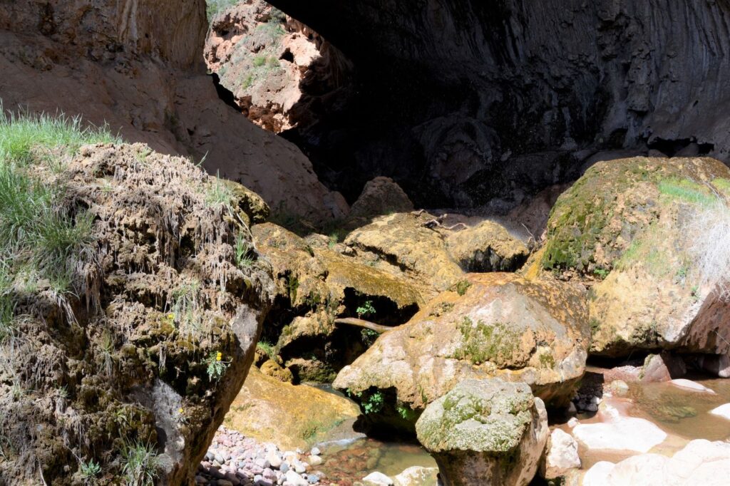
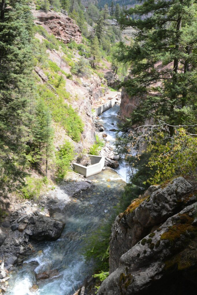
In the stream flowing below us, there was a cement box which surrounds the source of a hot spring. Long ago, it flowed into the stream. But today, there’s a pipe that diverts the hot springs water to a popular hot springs swimming area on the outskirts of town.
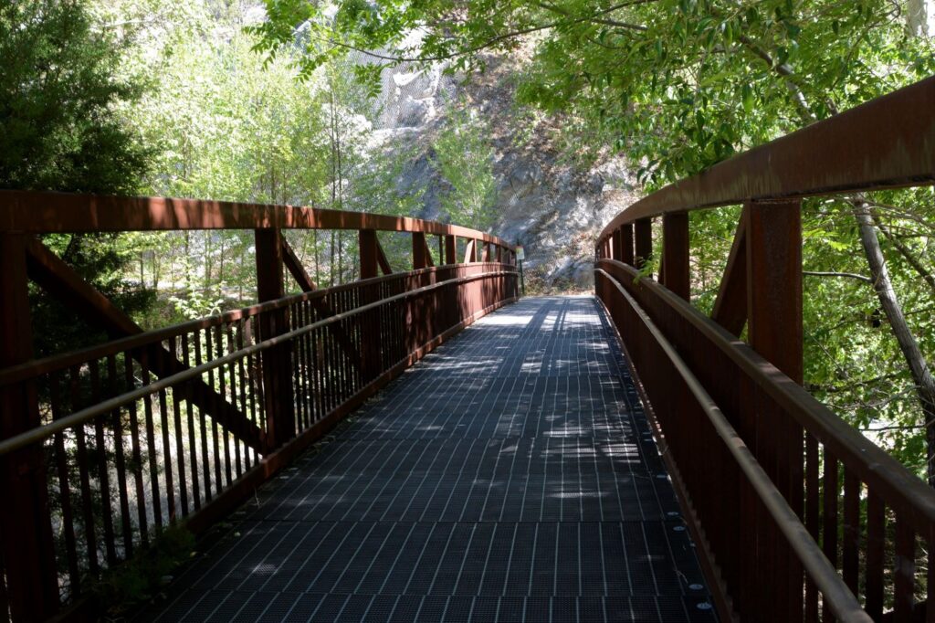
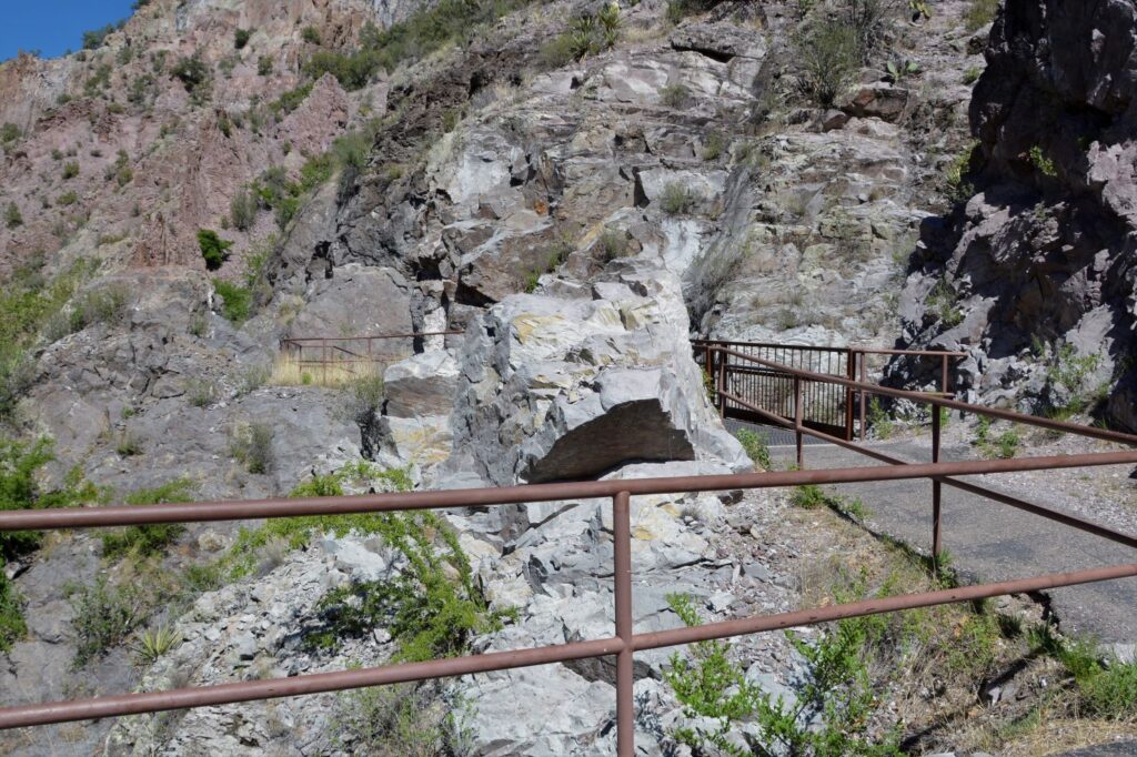
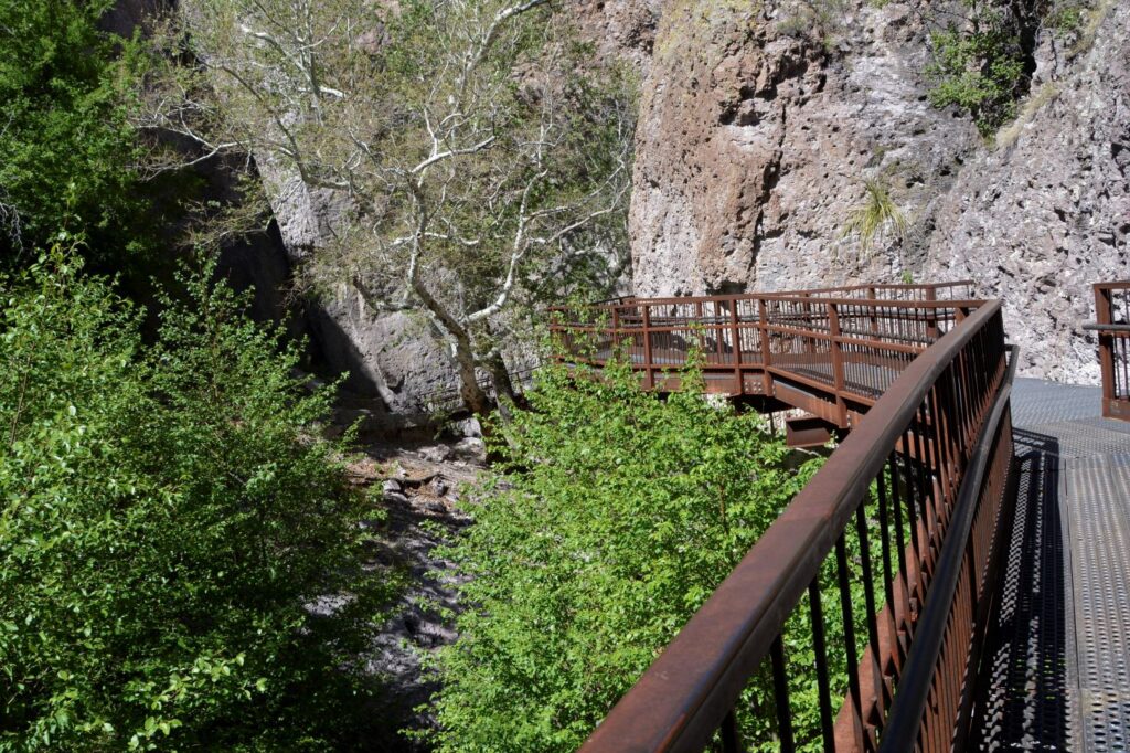
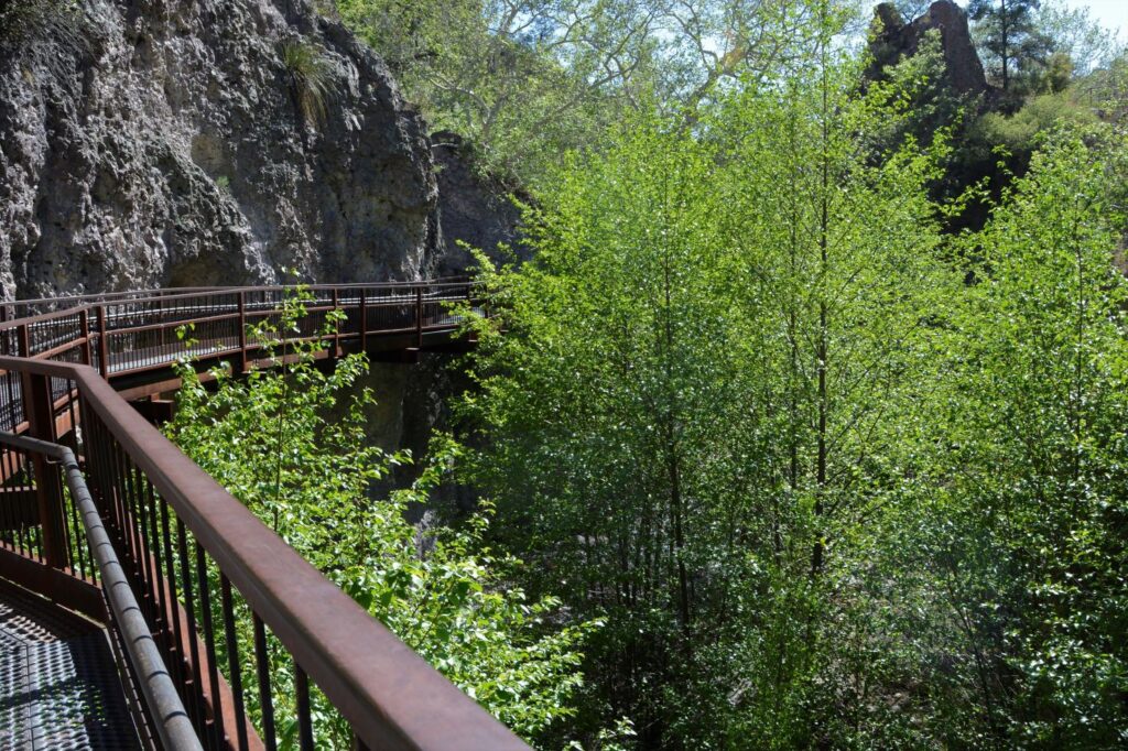
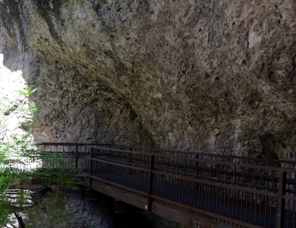
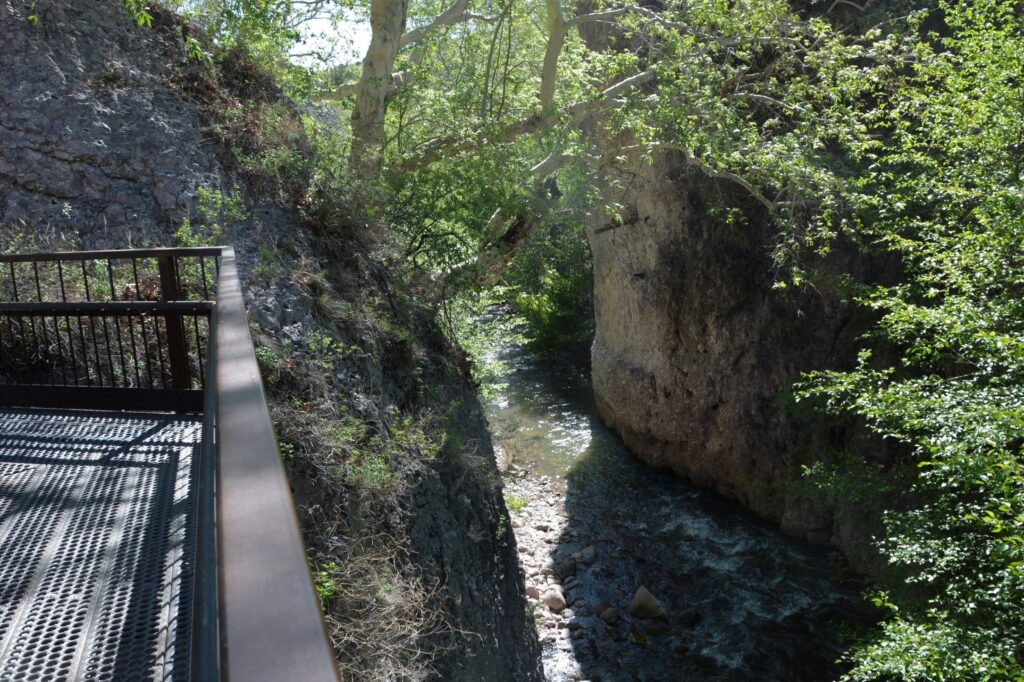
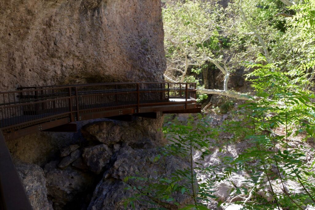
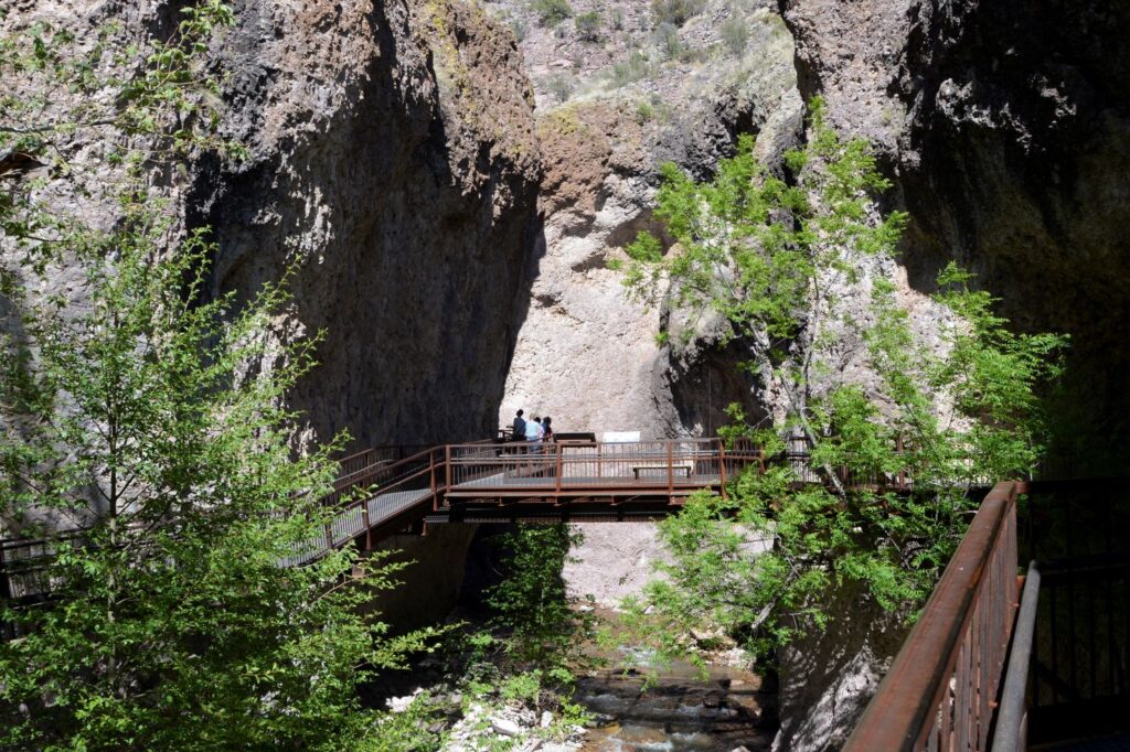
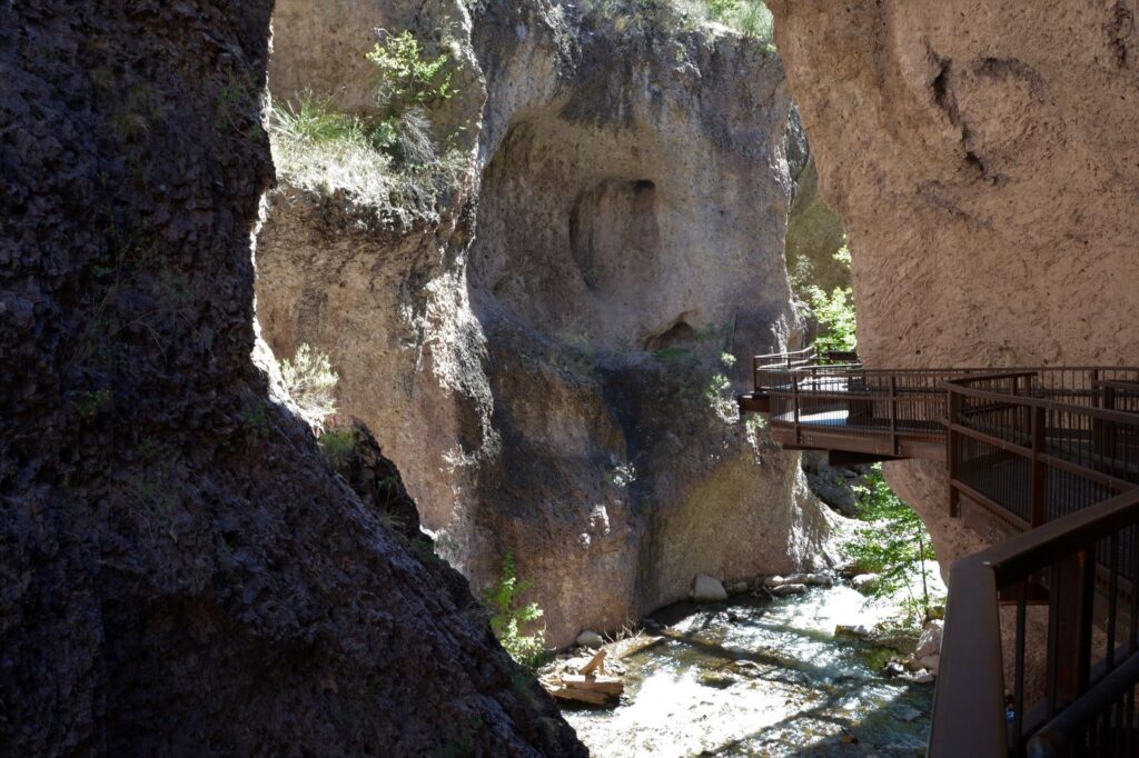
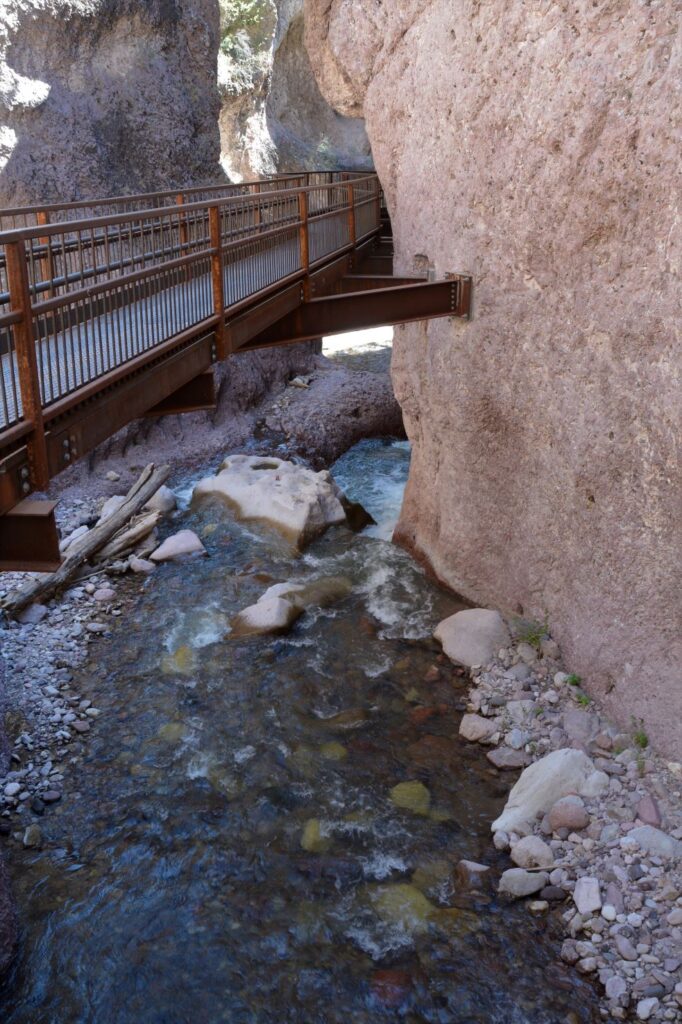
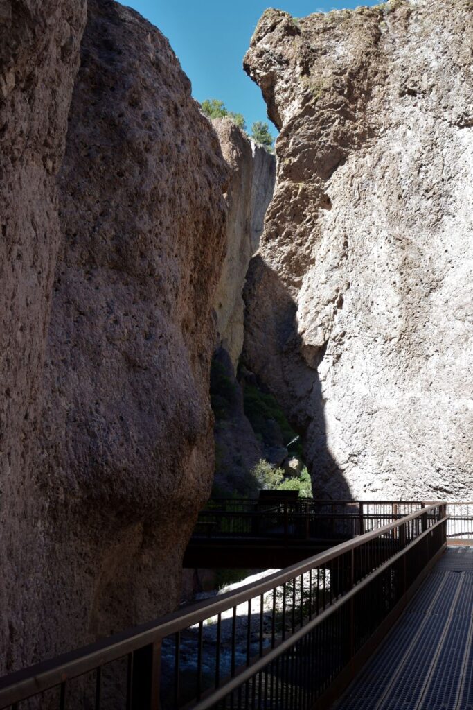
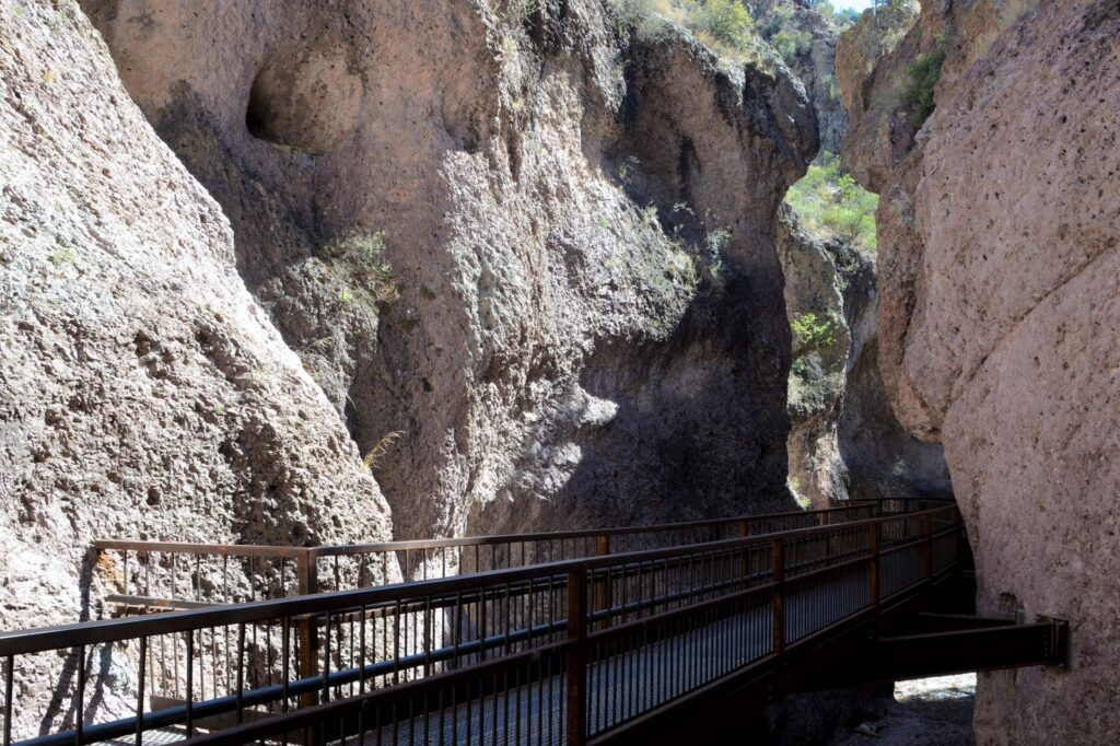
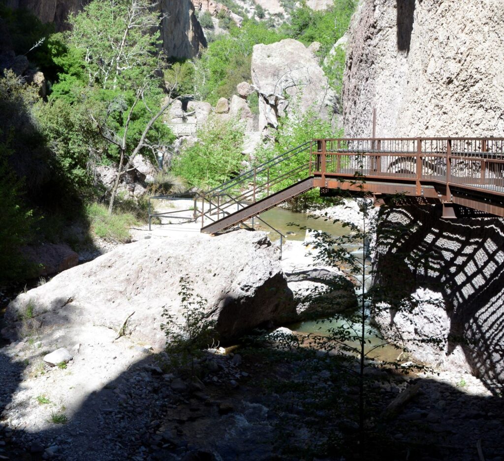
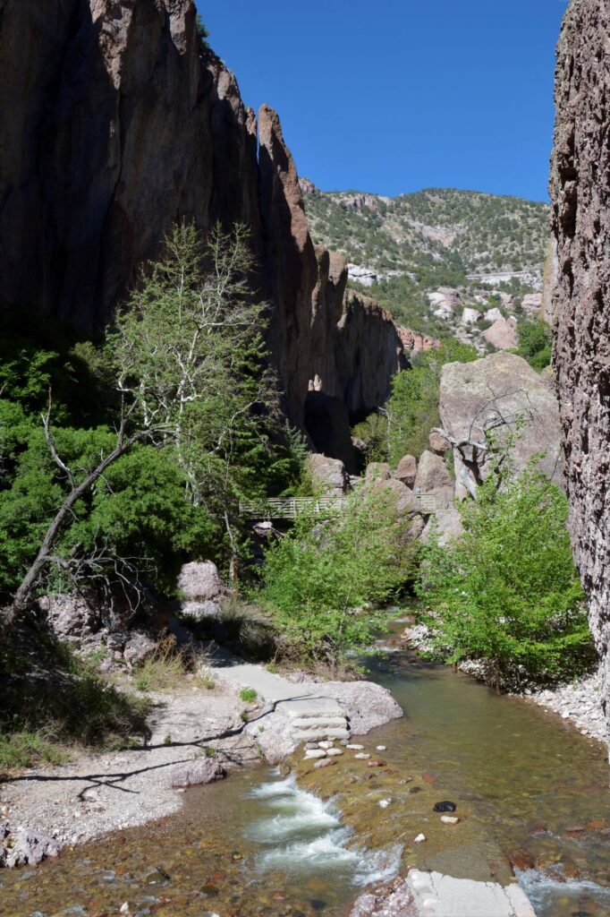
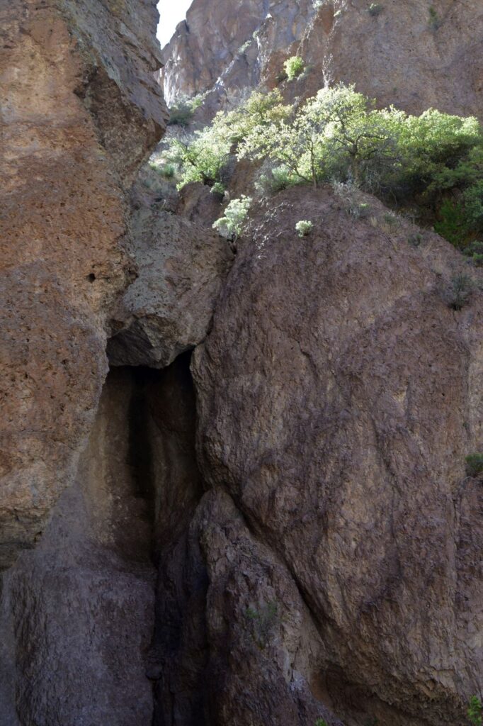
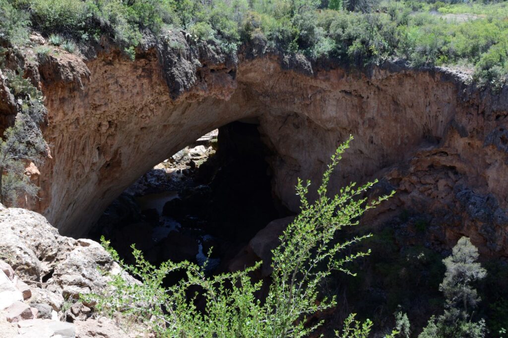
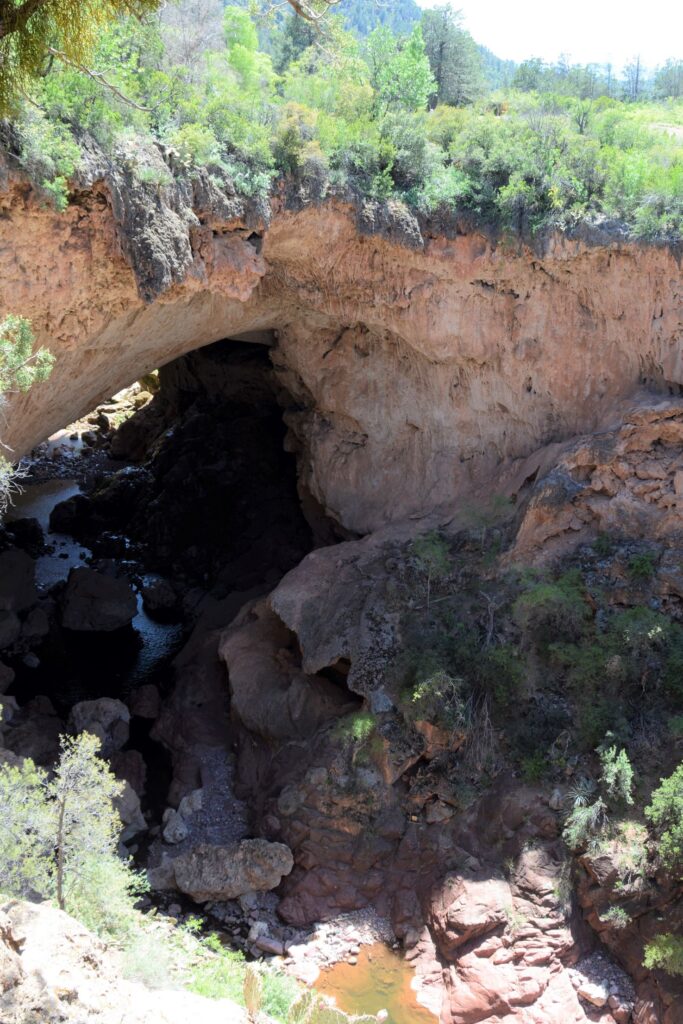
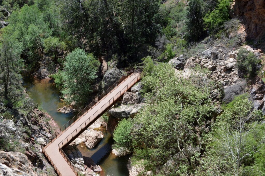
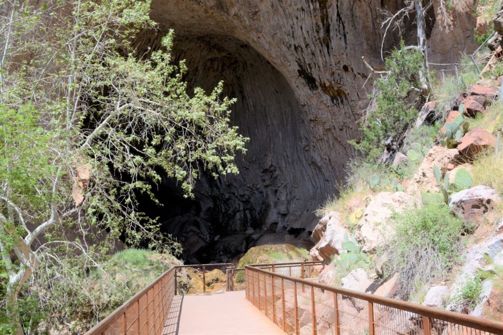
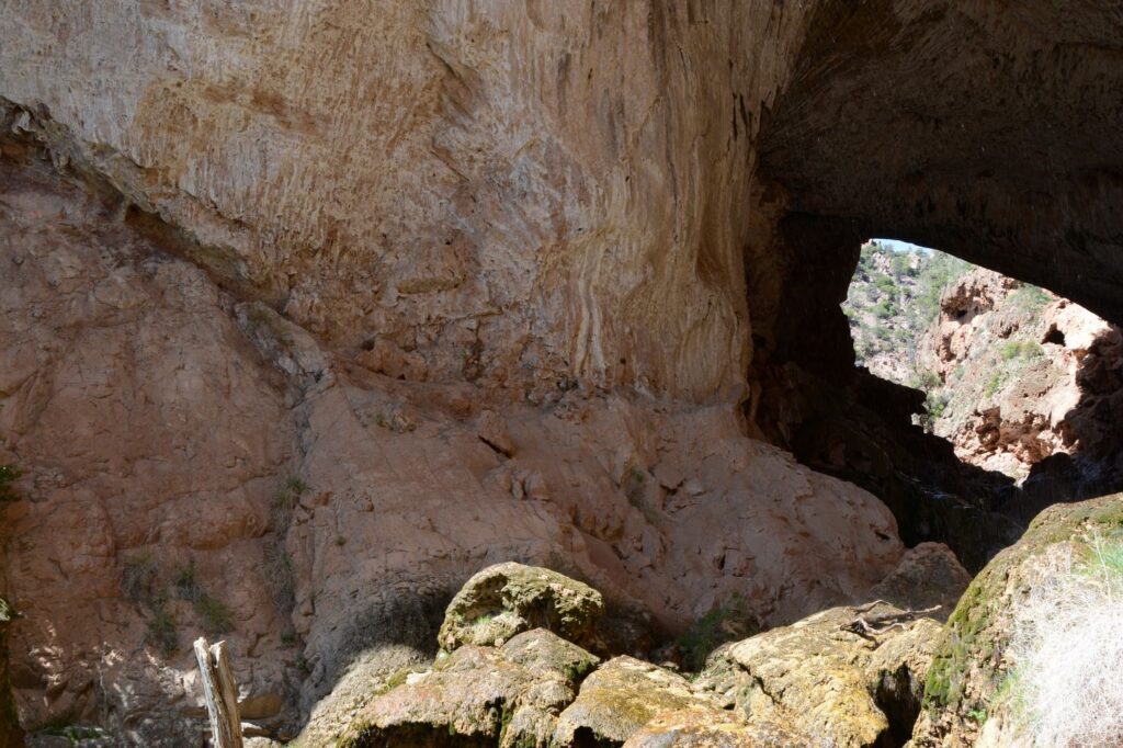
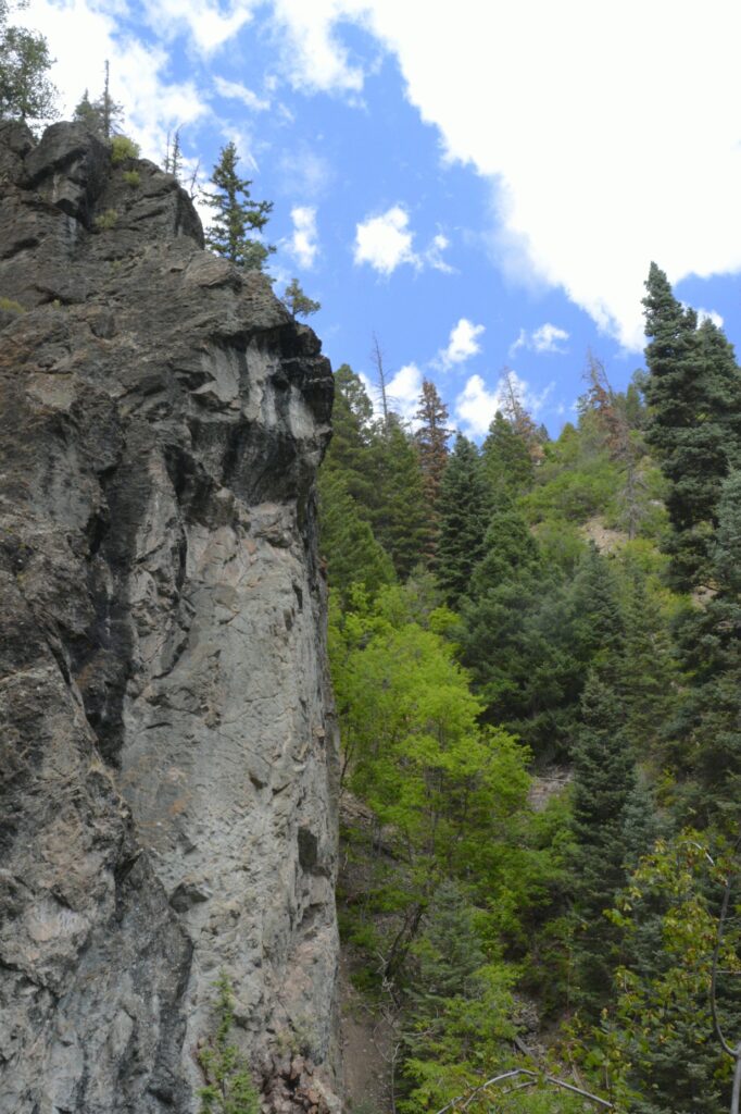
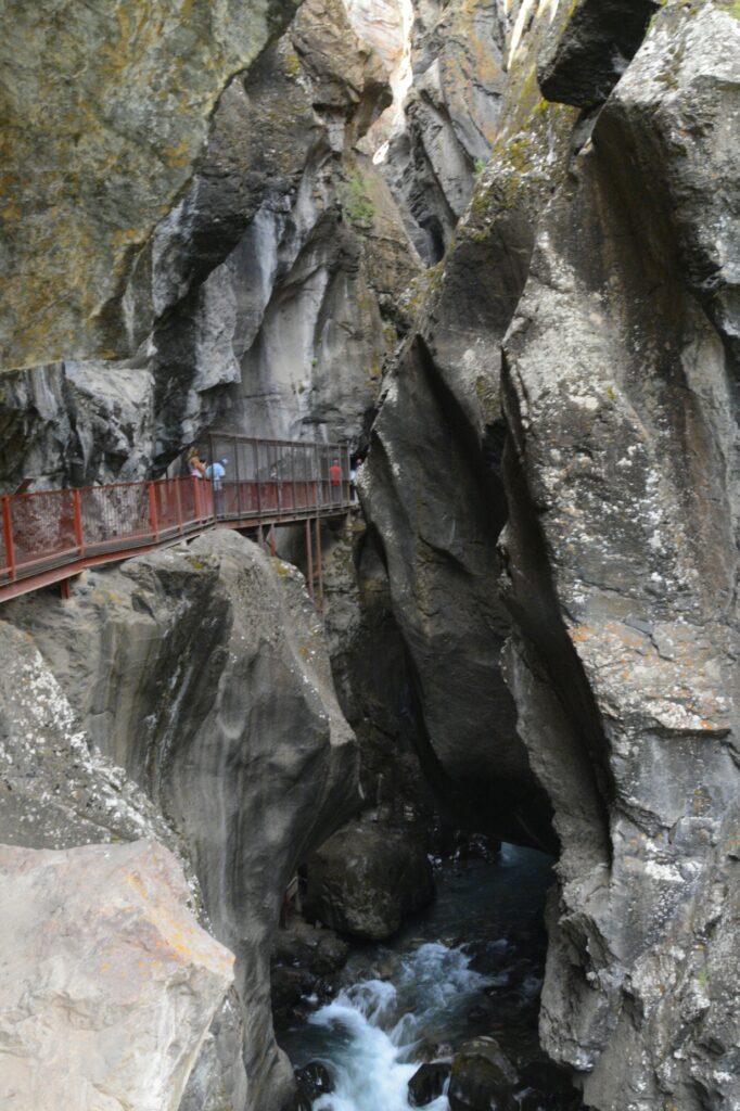
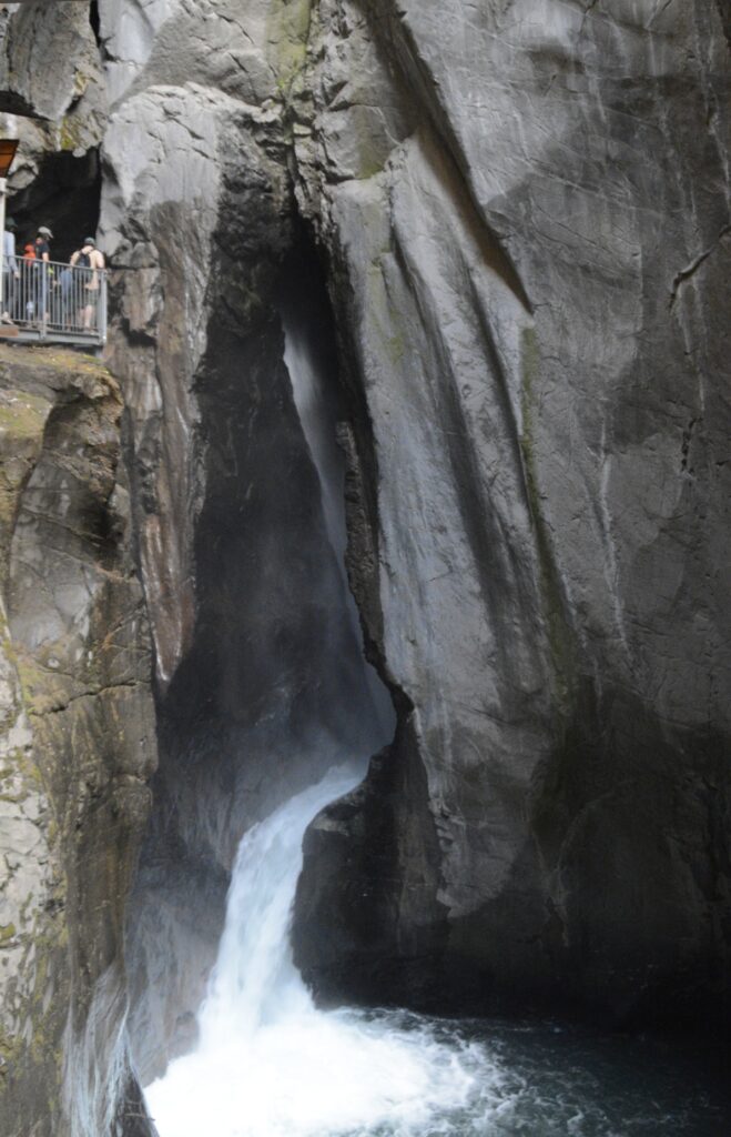
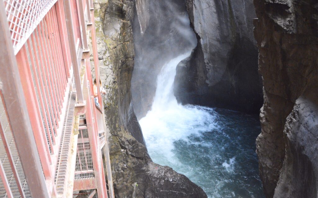
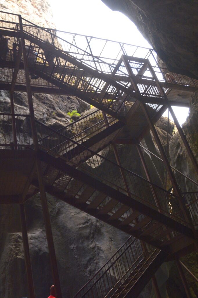
As we approached the waterfall, there was a catwalk along the rock walls.
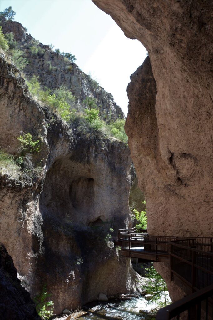
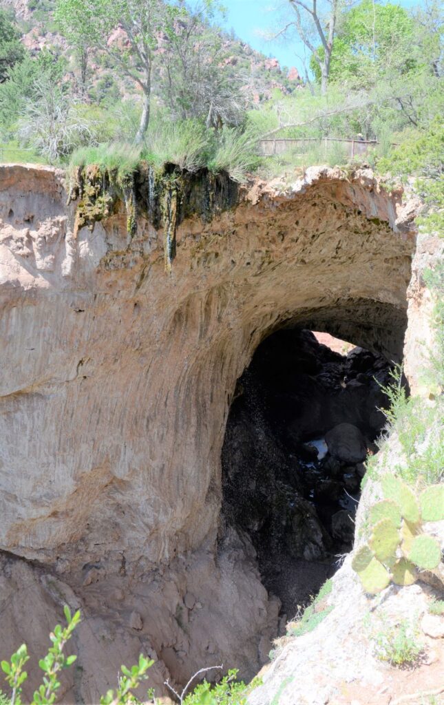
Our first glimpse of the waterfall was the lower section.
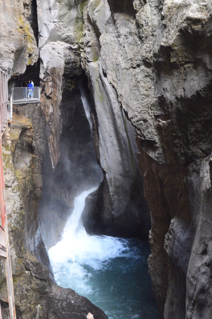
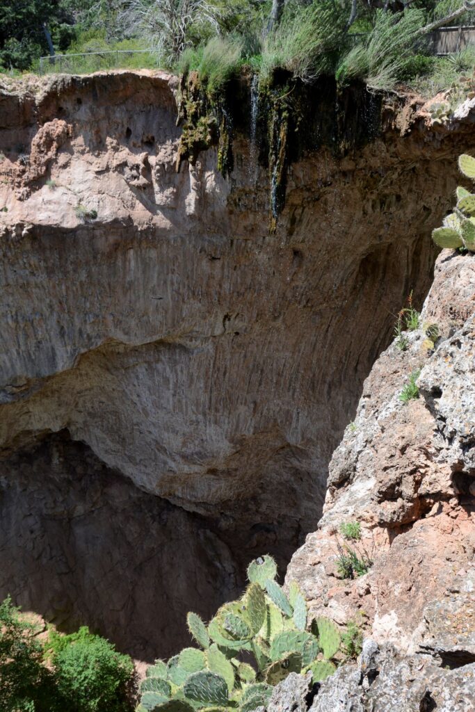
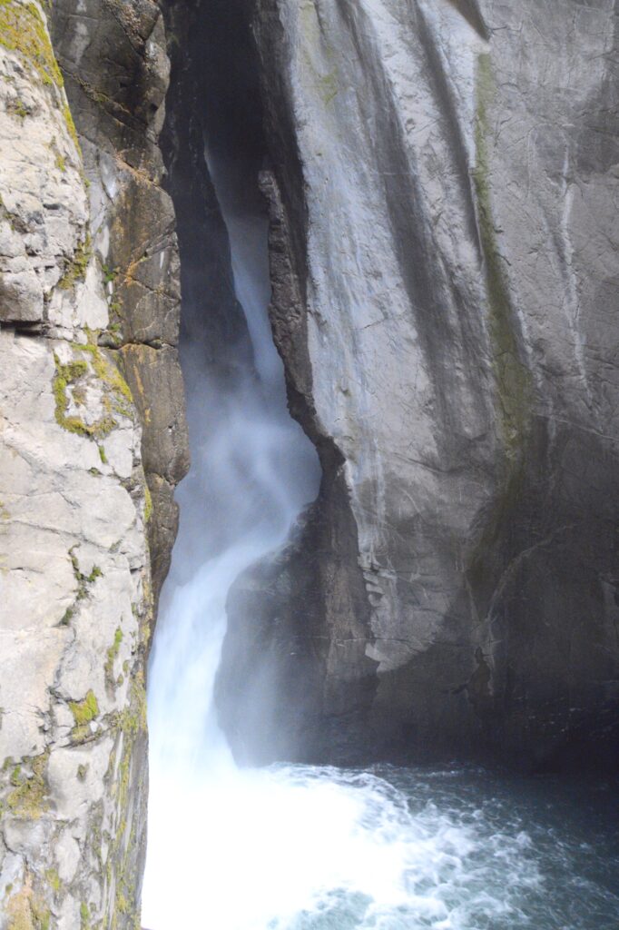
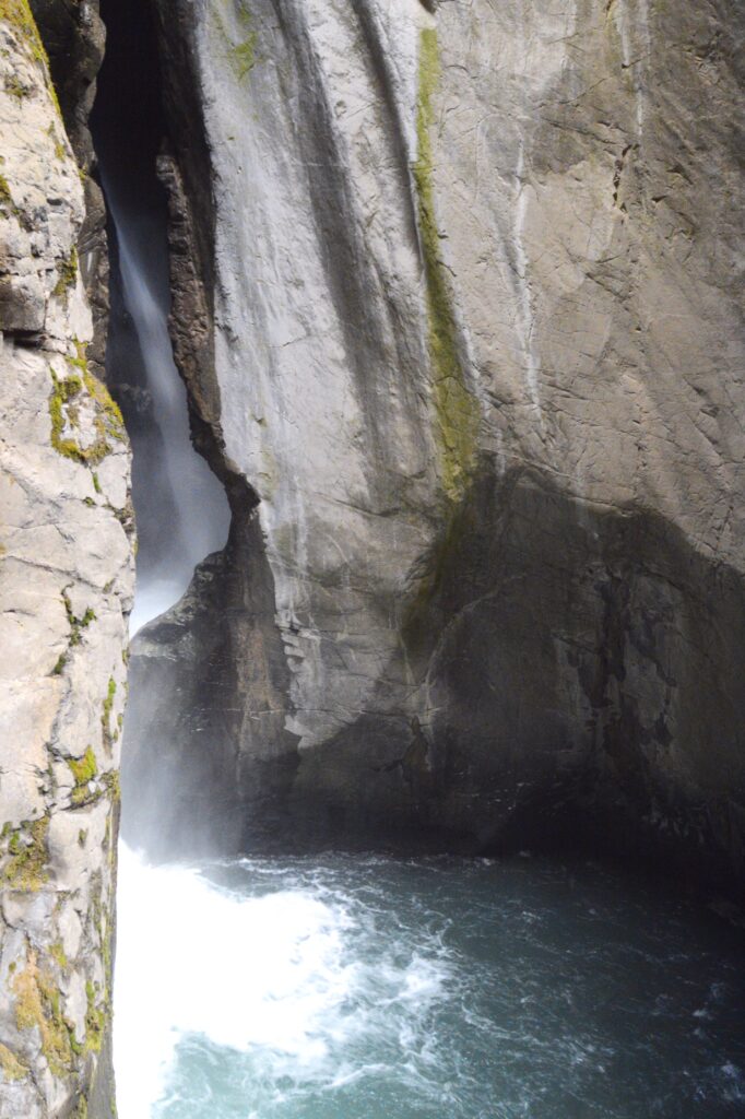
Next, we could see the water coming down the chute. It was very loud by this time, and mist filled the air.
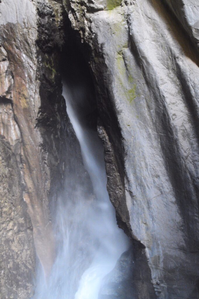
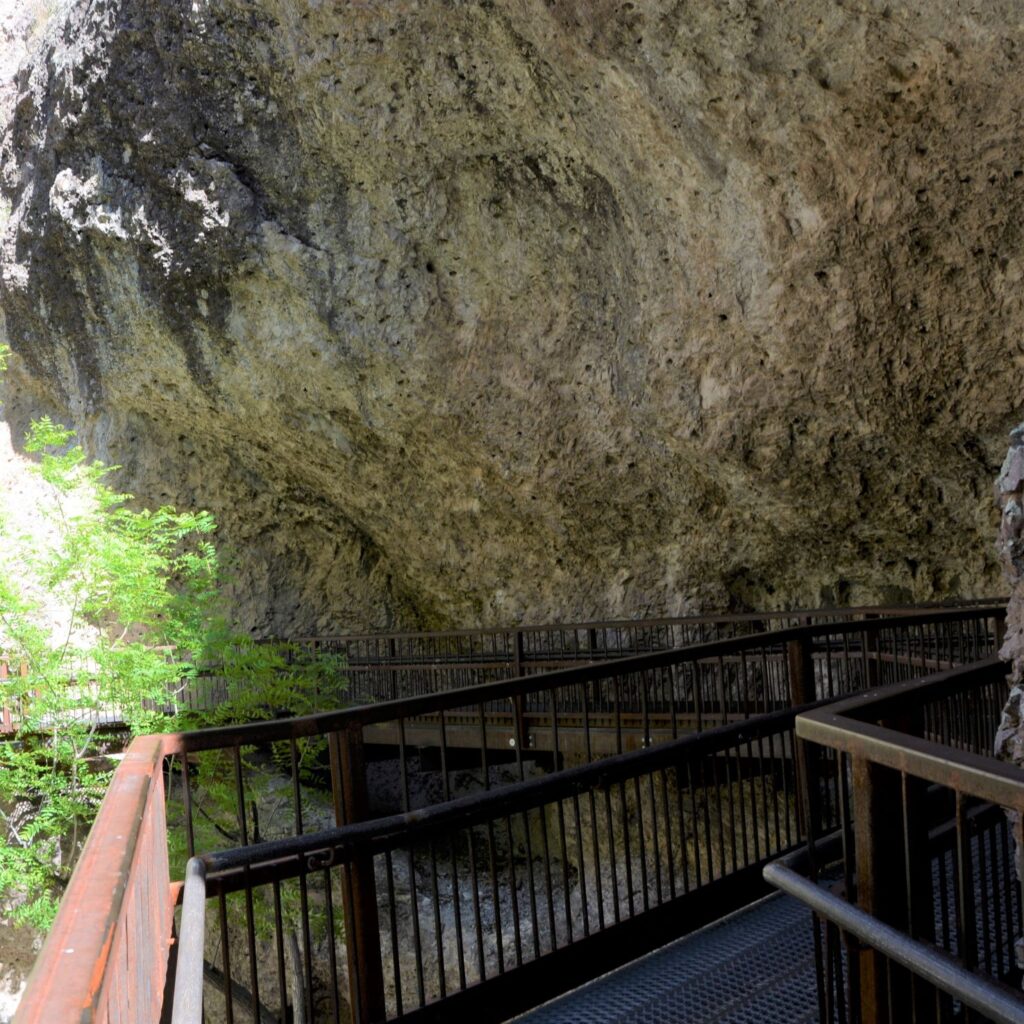
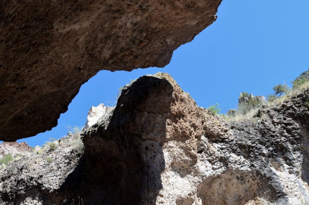
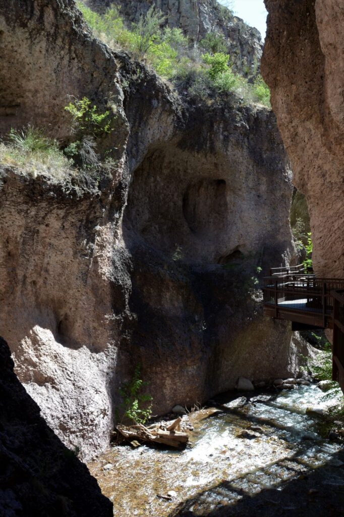
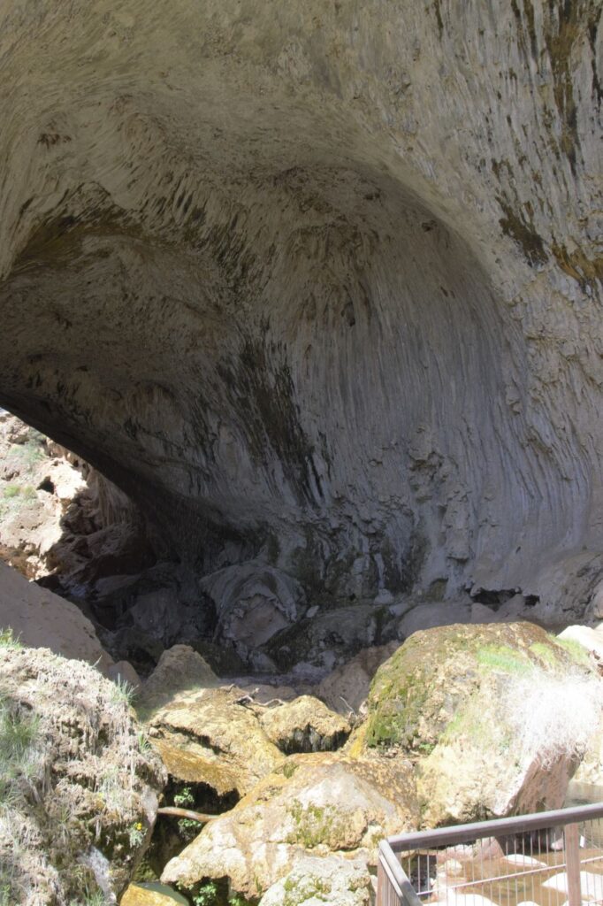
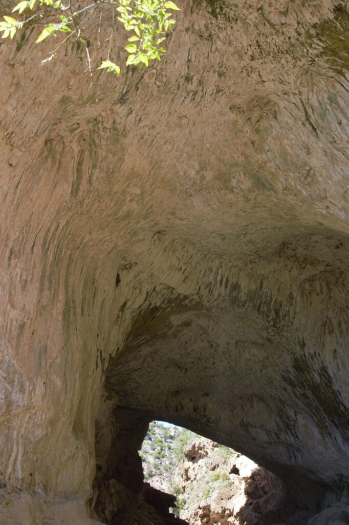
At the closet point, we could see the torrent of water coming down the box canyon chute. It has so much force, it could power the entire town of Ouray. The thunderous noise made it impossible to talk to one another.
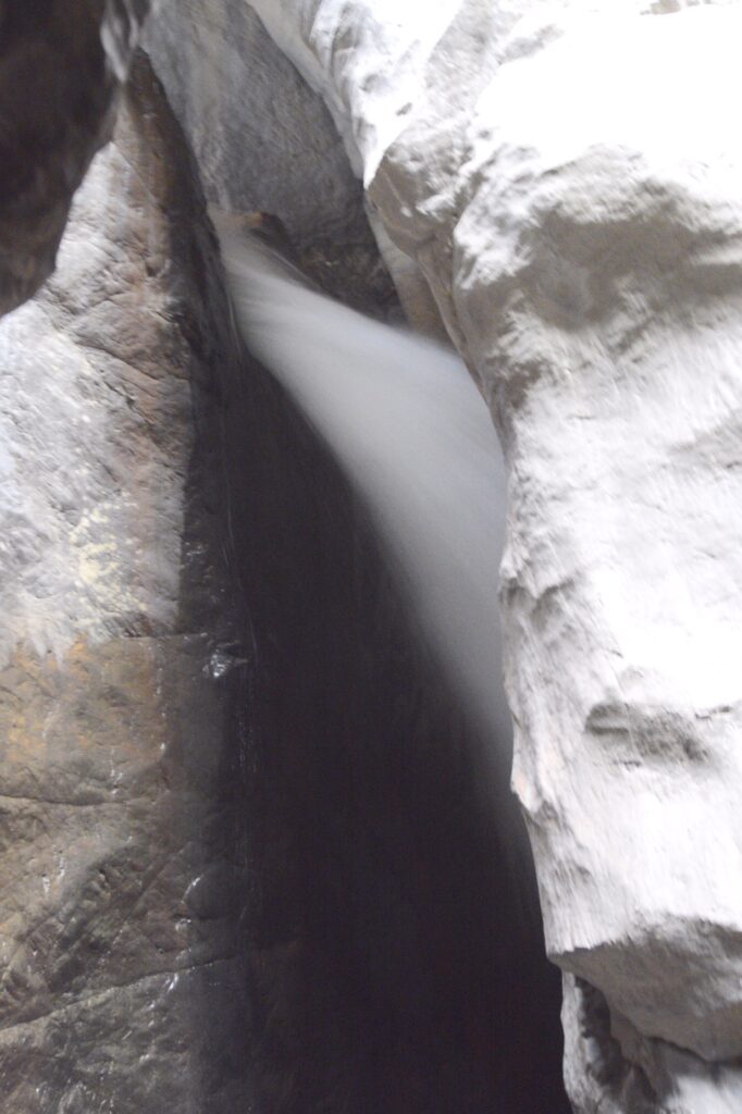
From there we could see how the water came nearly straight down, falling 285 feet into a narrow quartzite canyon.
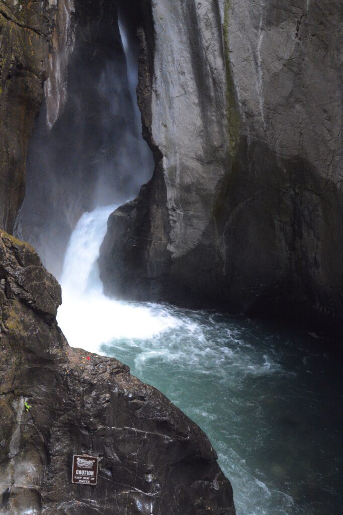
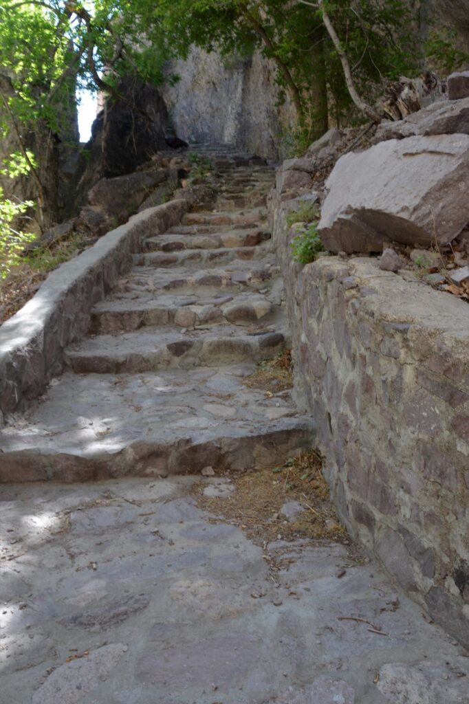
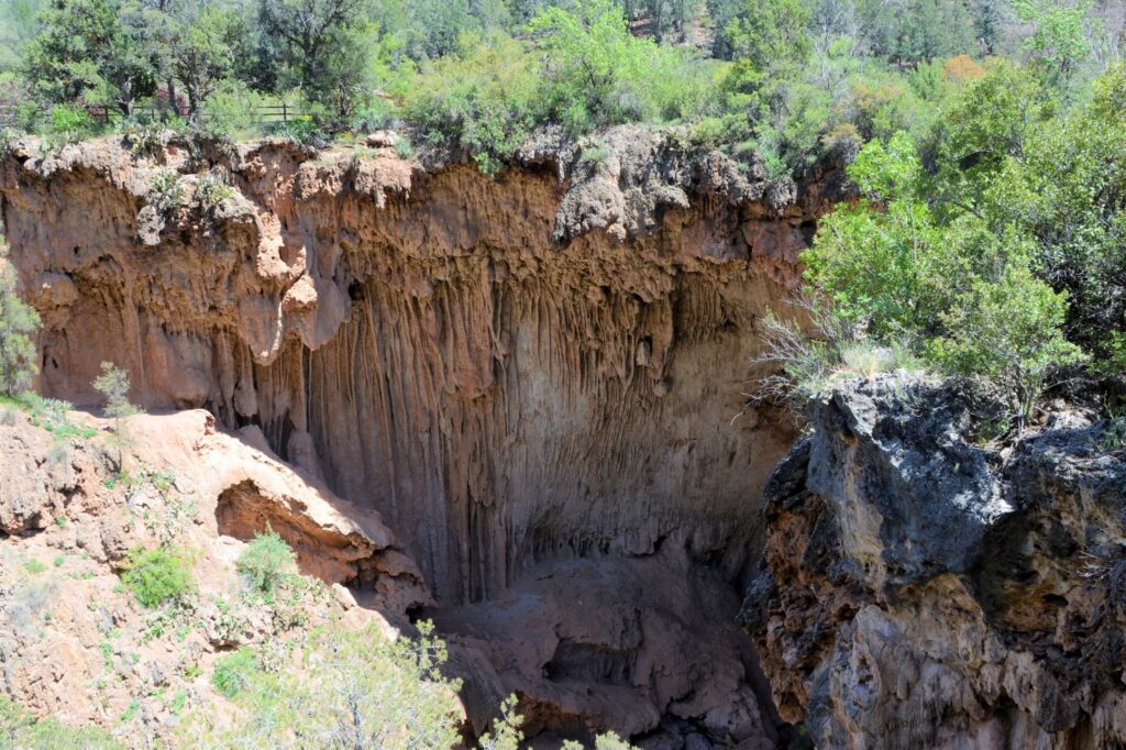
The catwalk had stairs that led down to the stream, so we walked down to see it better.
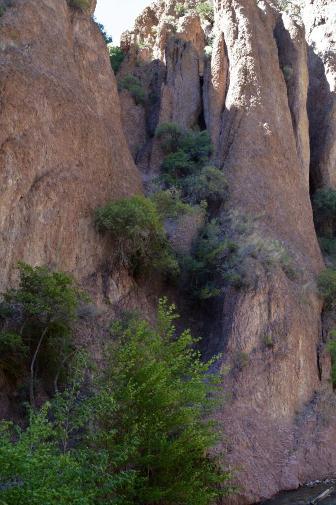
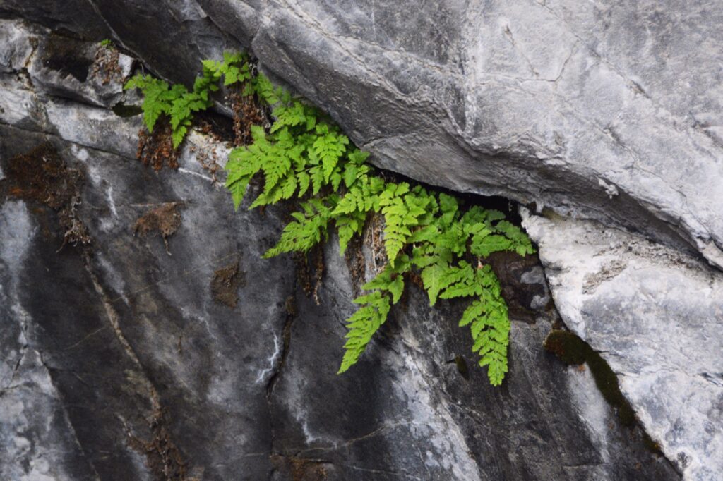
The box canyon is also unique in that it is home to a colony of Black Swifts. These birds arrive in early June to make nests of mud and grass in the indentations of the rock walls. They lay one egg and care for the chick until autumn when they migrate to Brazil 4,300 miles away.

What’s even more interesting is that the chick never flies until time to migrate. They hang onto the edge of the nest and flap their wings like a hummingbird to gain enough strength for the long arduous journey. However, to my disappointment, we didn’t see any of these amazing birds while we were there.
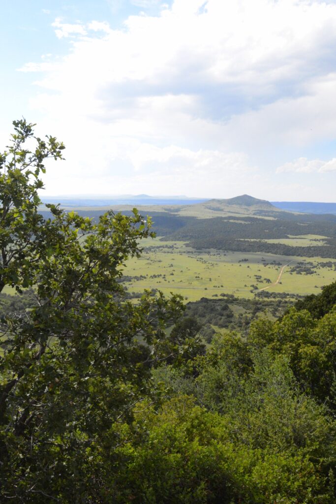
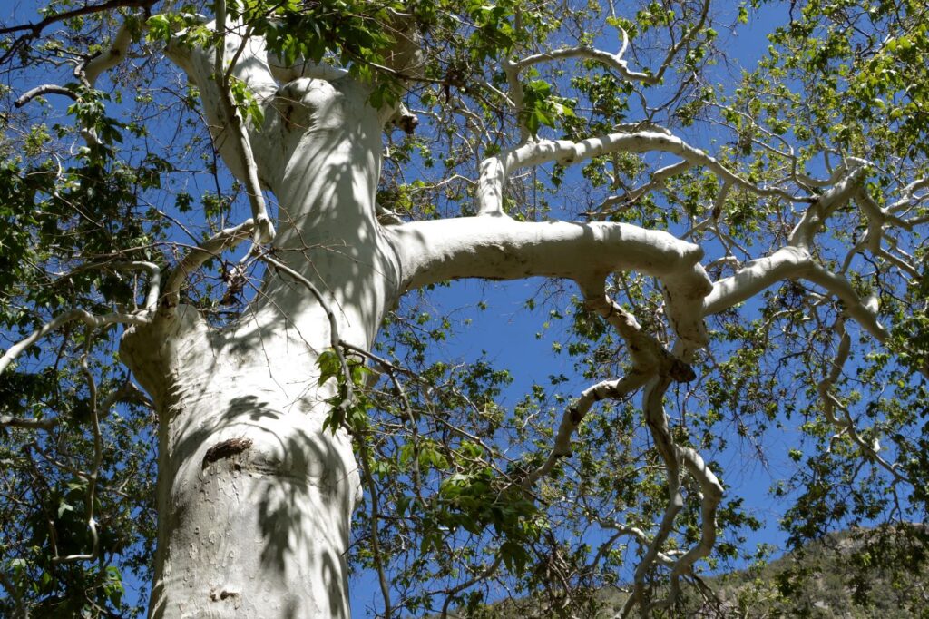
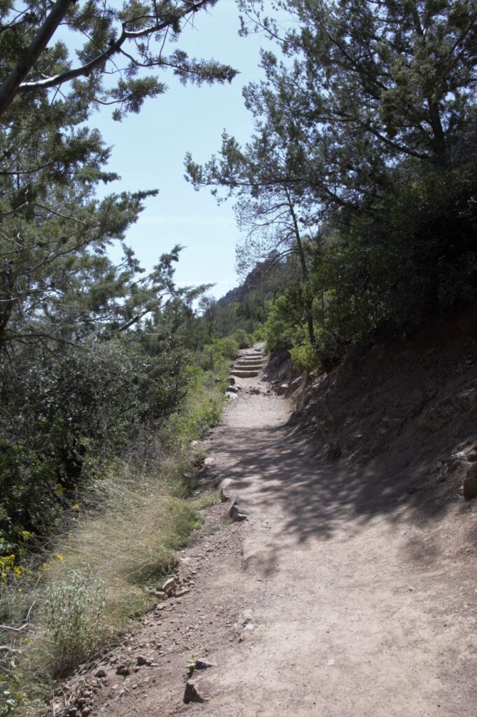
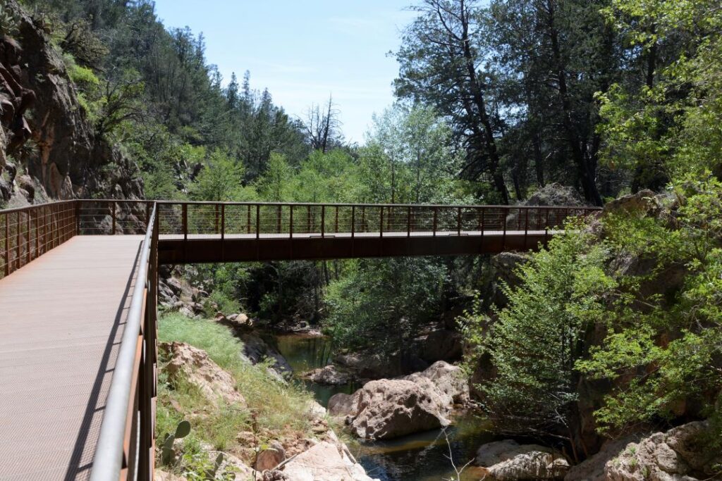
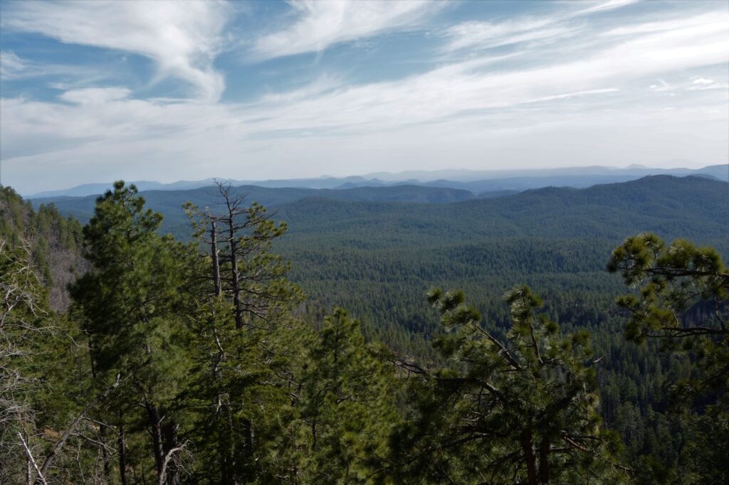
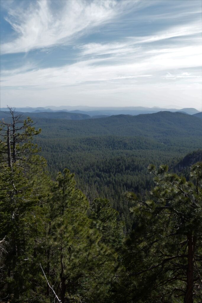
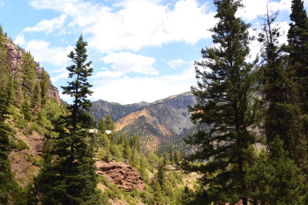
We hiked back out of the canyon. The view from the trail was so pretty.
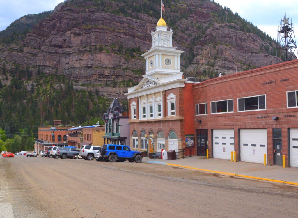
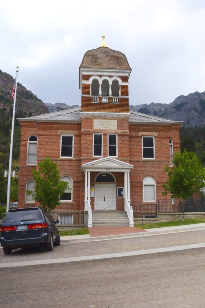
Back in the town of Ouray, we looked for a place to have our picnic lunch. We found a cement wall by the courthouse that made a perfect place.
The courthouse, built in 1888, was used in the movie True Grit, starring John Wayne.
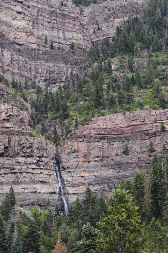
While we ate our lunch outside, I noticed a waterfall coming down one of the mountainsides of the town. The name of the waterfalls is Cacade Falls. I found out later that there is a quarter of a mile trail to the bottom of the falls. We will have to save that for another visit.
We went back home on Highway 550 the way we came, but if we had continued on south, we would have traveled on the famous “Million Dollar Highway” to Silverton, Colorado.
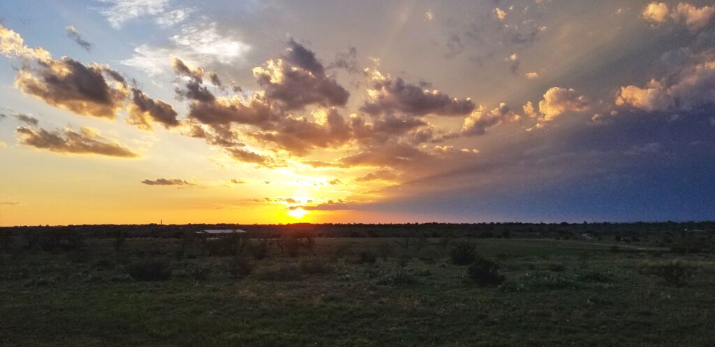
We have plenty of reasons to come back to Colorado and explore some more of the beautiful creation of God.
“Deep calls to deep at the sound of Your waterfalls;
All Your breakers and Your waves have passed over me.
The Lord will send His goodness in the daytime;
And His song will be with me in the night,
A prayer to the God of my life.” Psalm 42:7-8