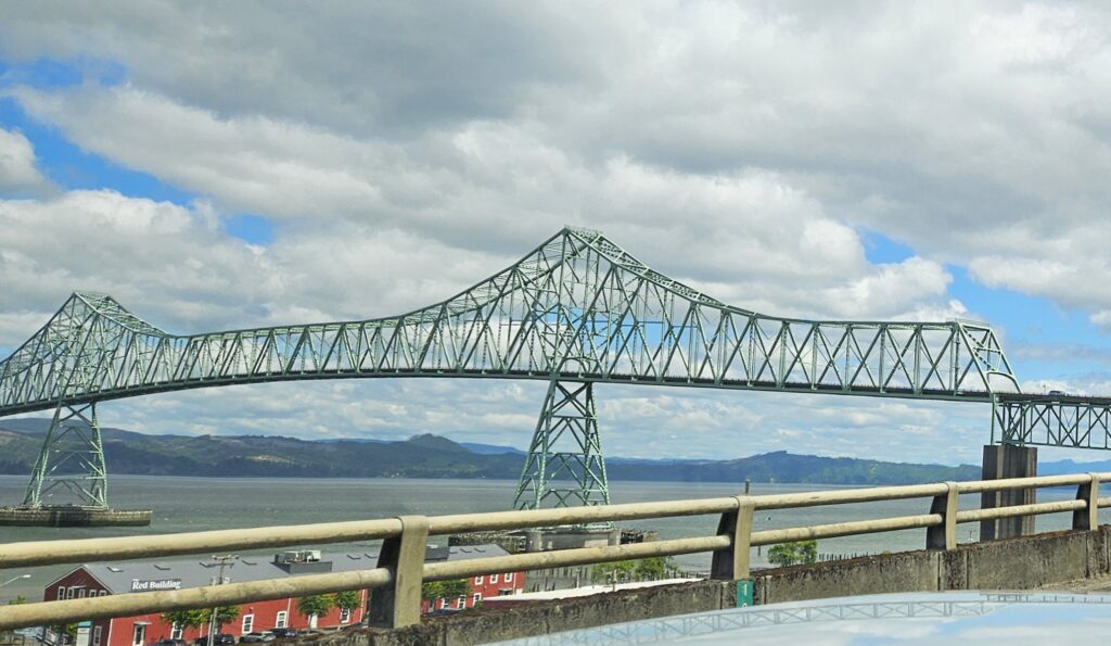
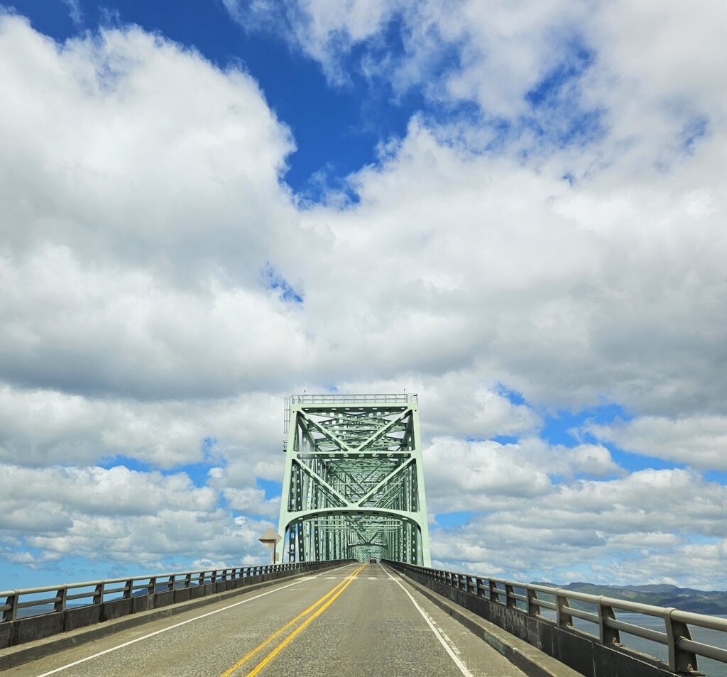
We crossed the Astoria-Megler Bridge over the Columbia River into Washington state. This four-mile long steel bridge is the longest continuous truss bridge in the nation. At the highest point, it is nearly 200 feet high over the river. I love bridges, but this one is definitely a little scary.
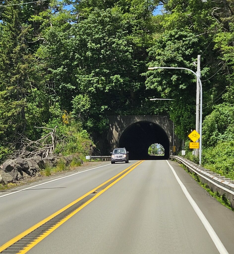
Soon after the bridge, we went through a tunnel. Highway 101 tunnels under Fort Columbia, a defensive fortress built in 1898 to defend the entrance of the Columbia River. It is now a state park. This road was turning out to be quite interesting!
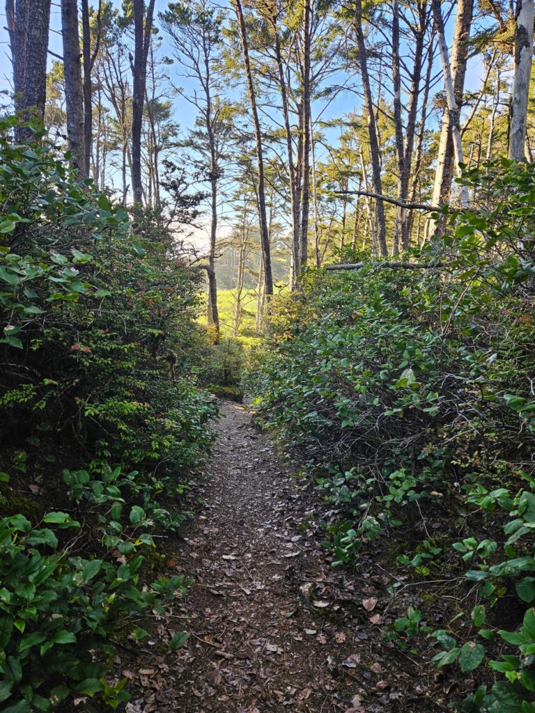
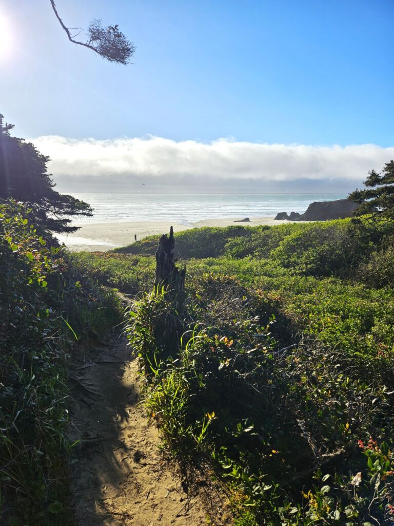
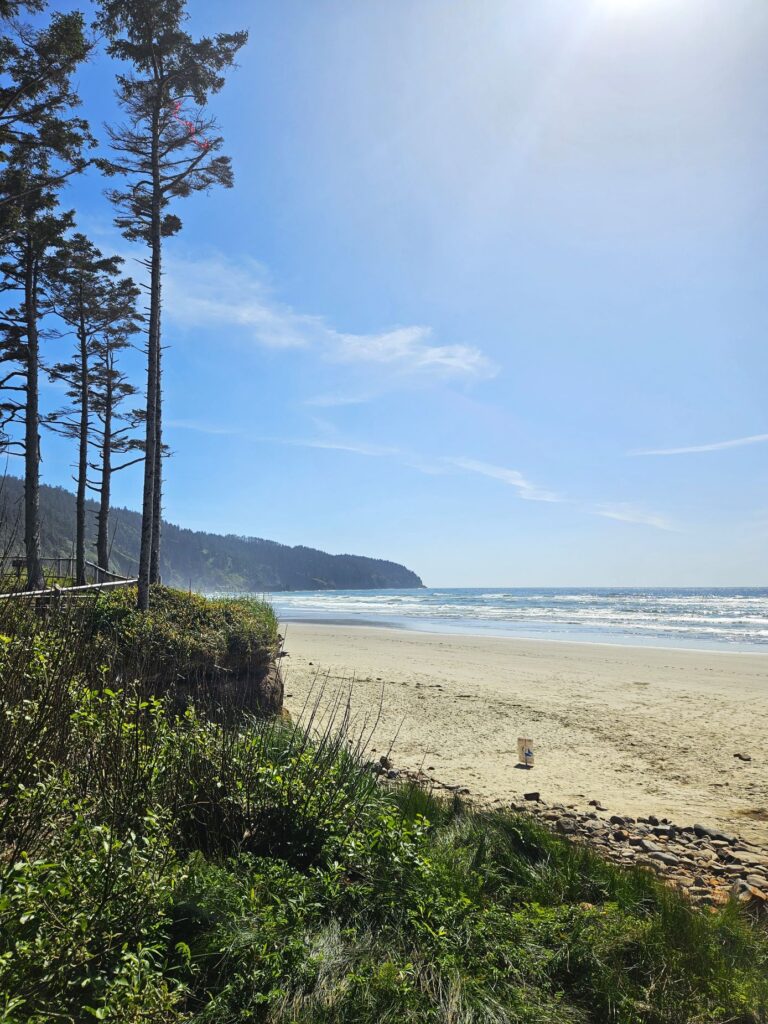
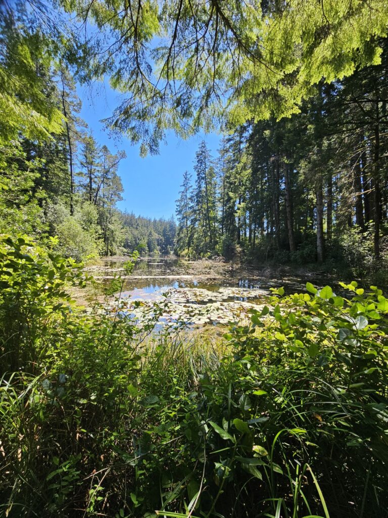
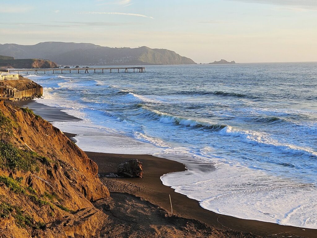
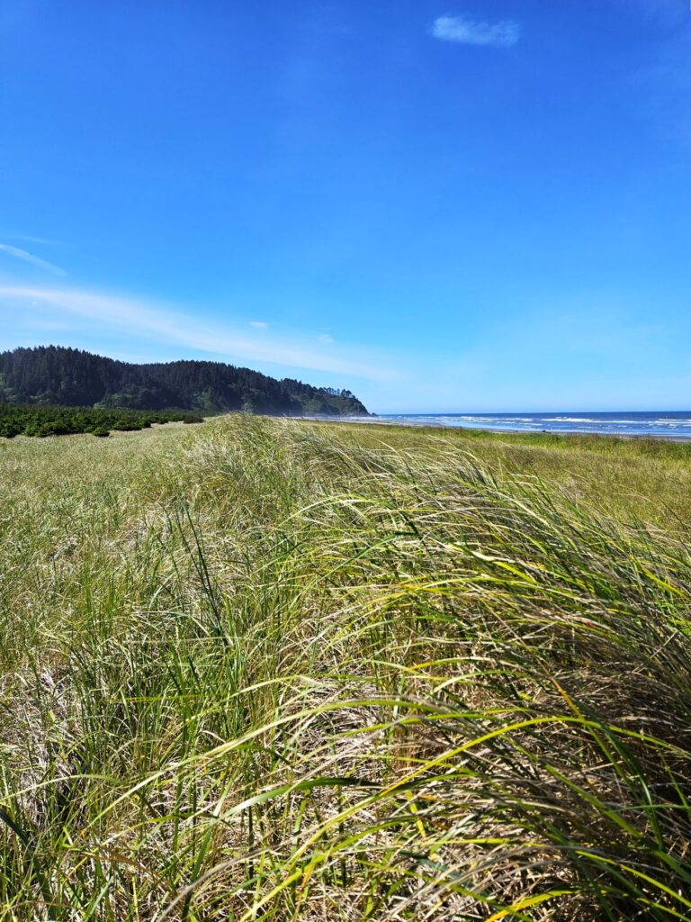
Our Thousand Trails campground was just a few miles up the coastline near the town of Seaview, Washington. We had our own trail to the beach, which was about a half-mile walk.
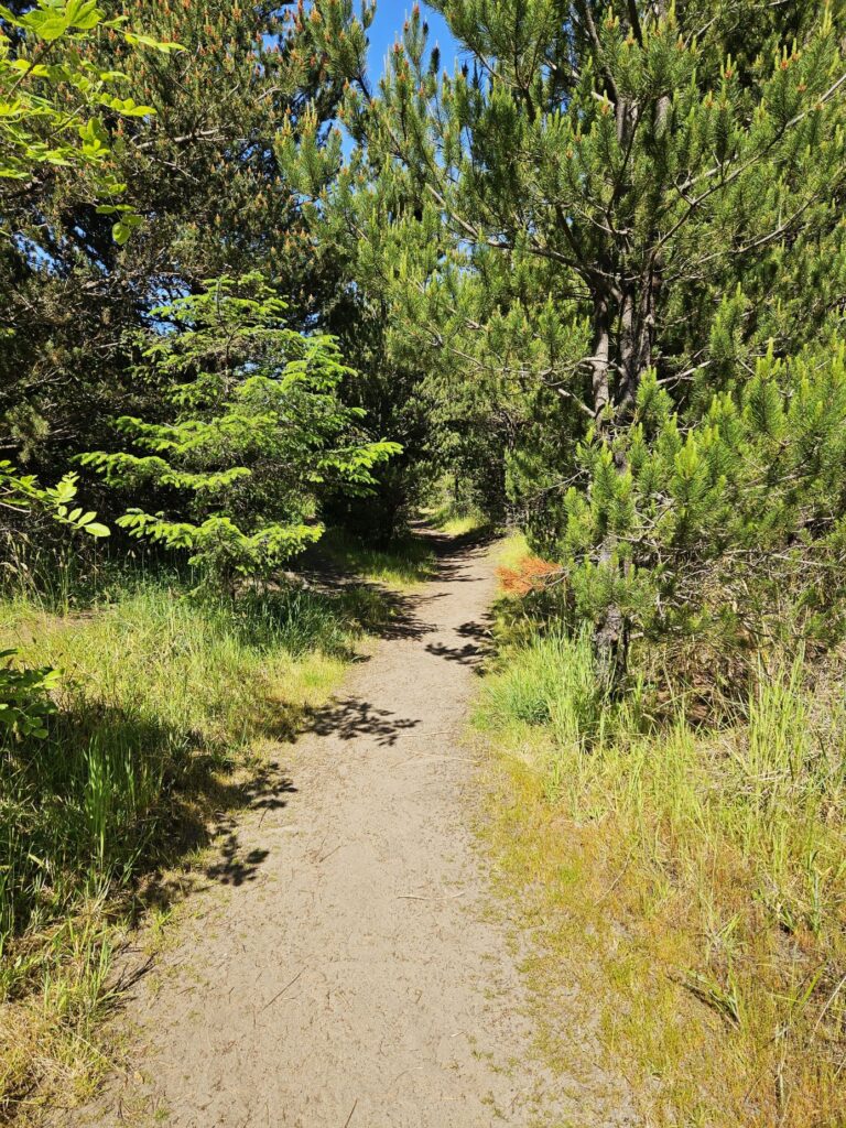
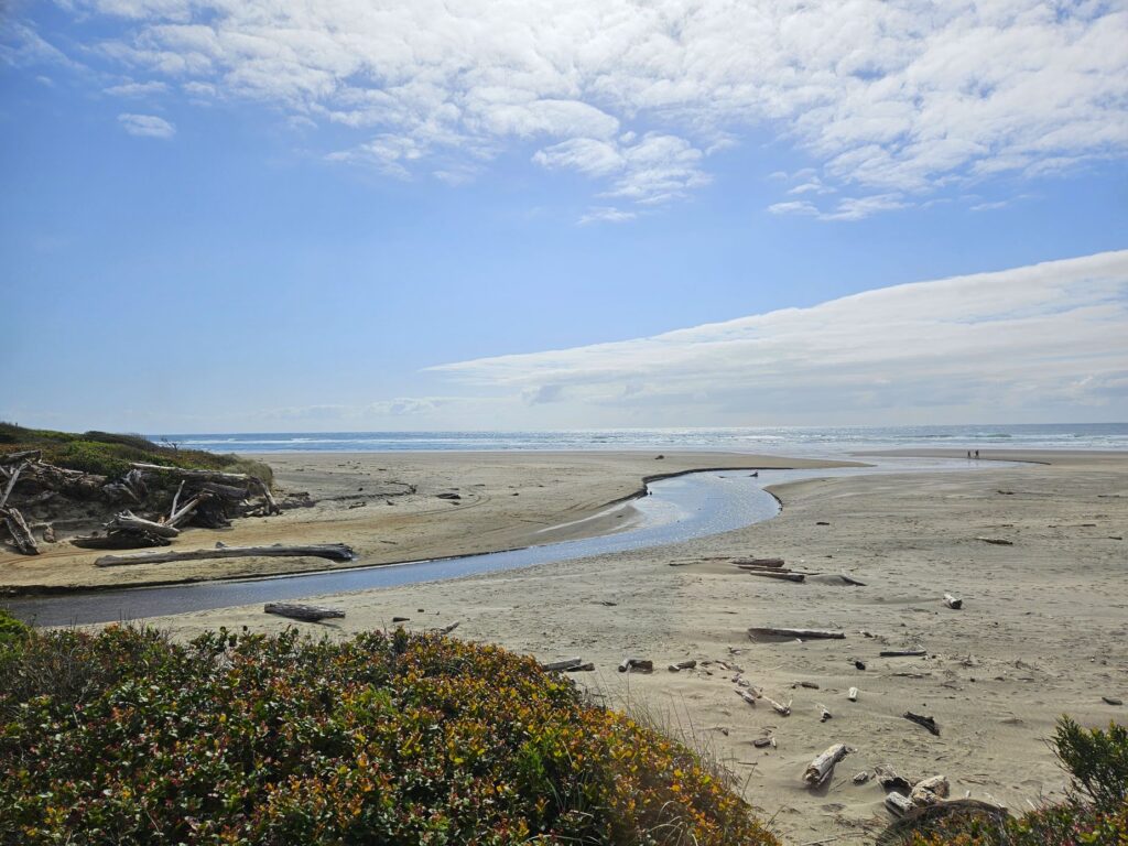
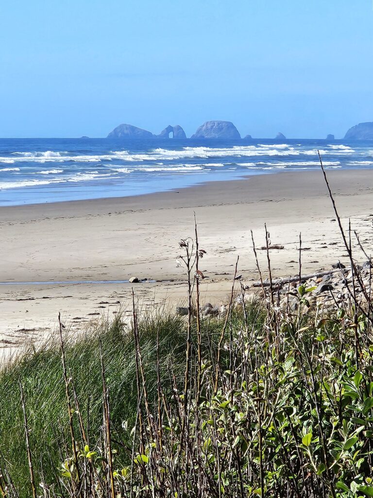
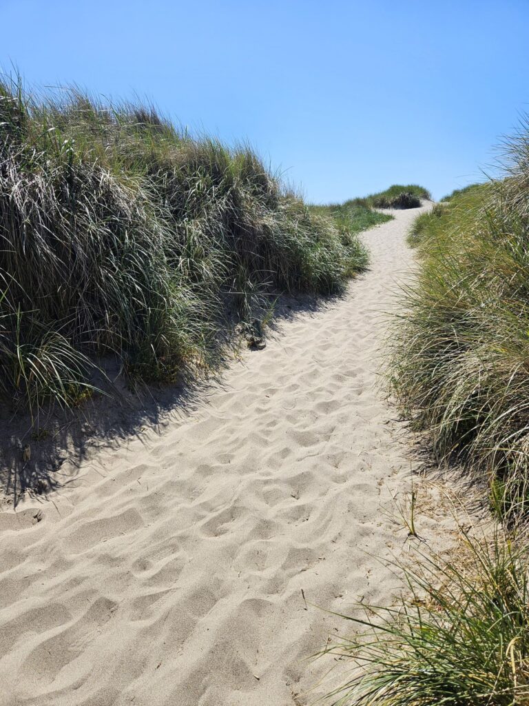
Our path to the beach connected to the Discovery Trail, a paved trail that starts in Ilwaco to the south and ends in Long Beach which borders Seaview on the north. To get to the beach, I had to walk through the tall grasses and climb over a sand dune.
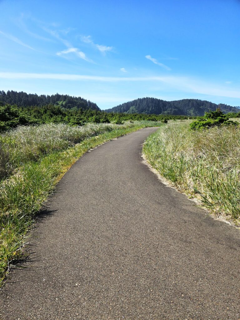
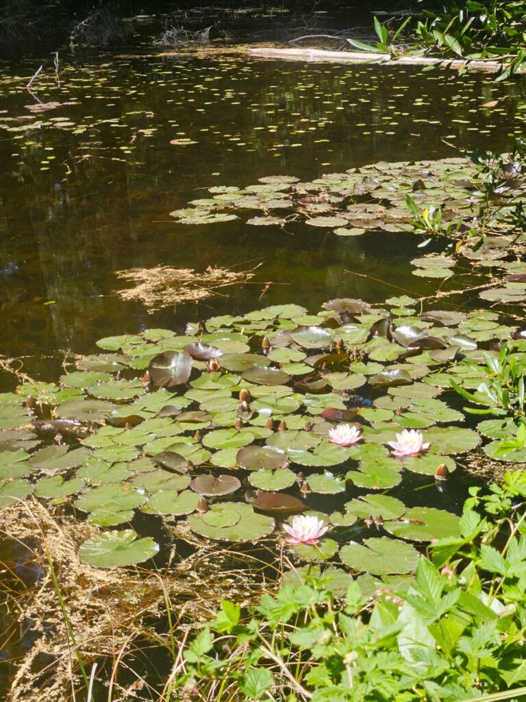
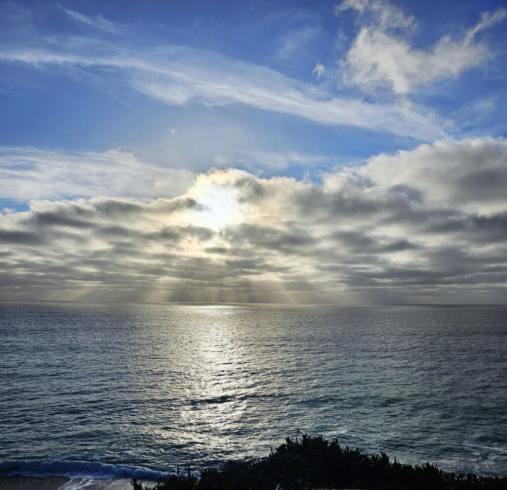
I found a pathway, but rather than go all the way to the beach, I admired the view from atop the sand dune on that cold, windy day.
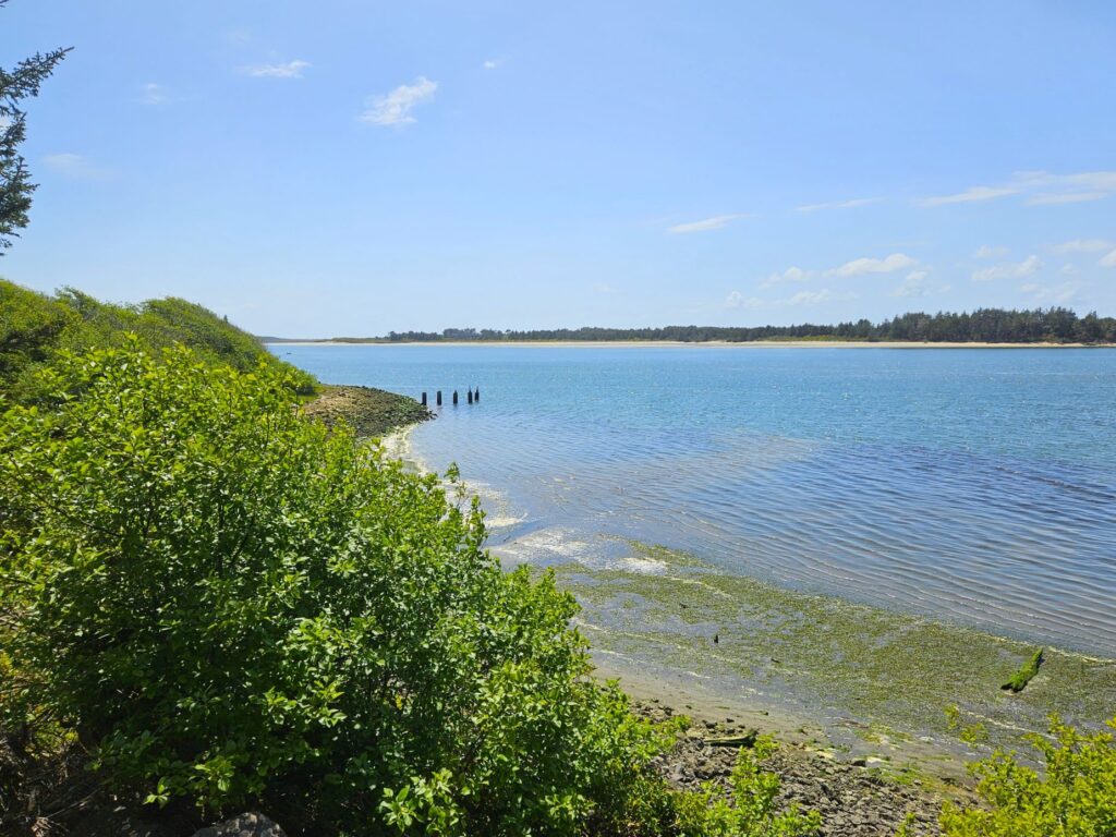
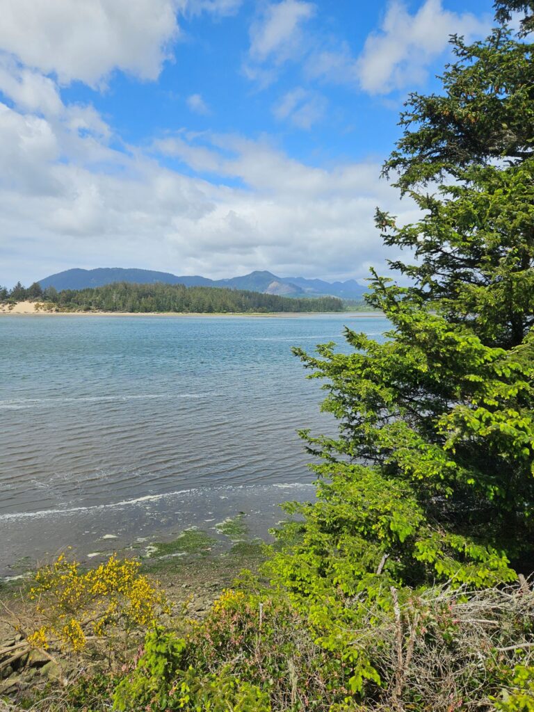
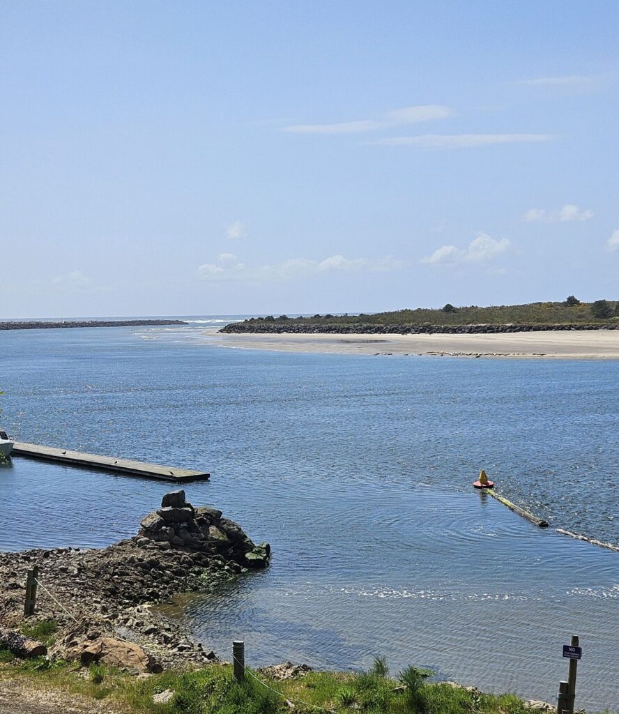
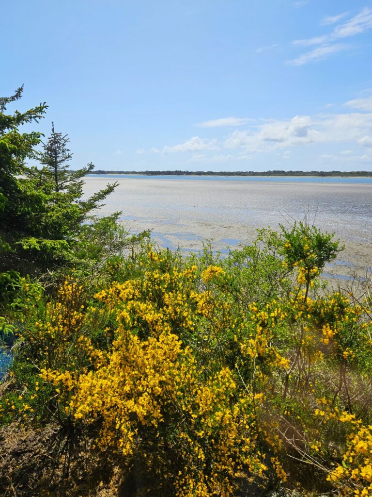
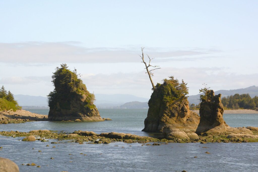
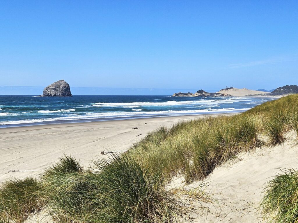
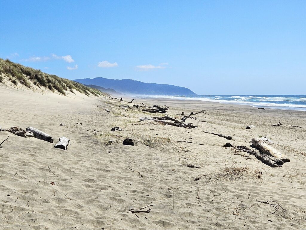
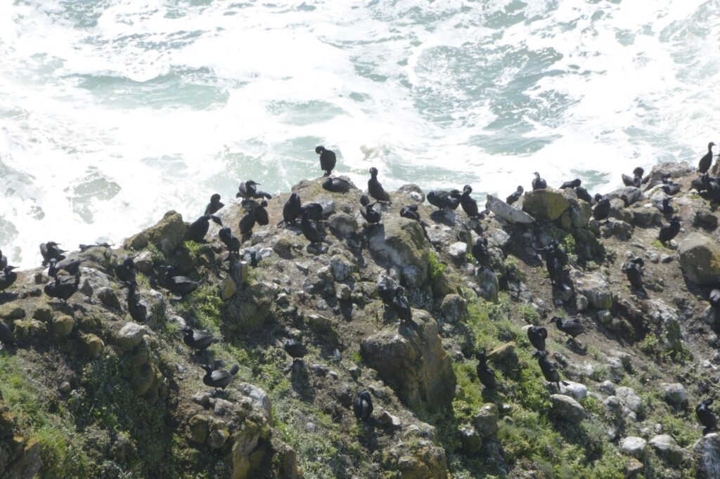
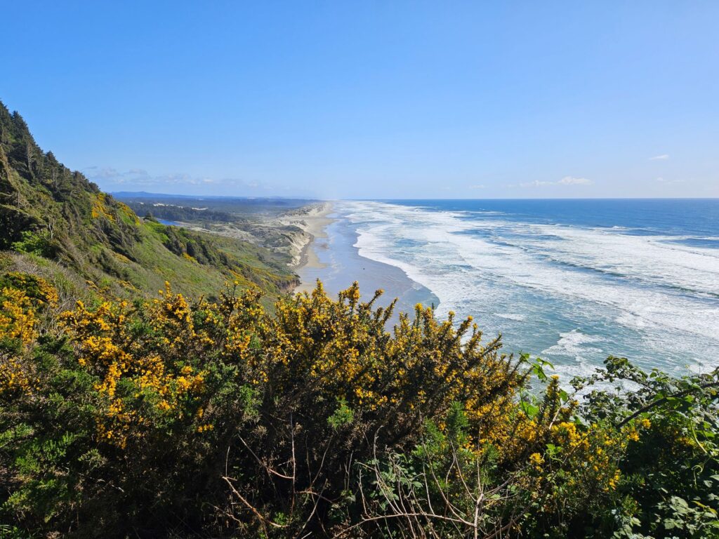
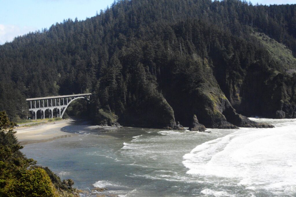
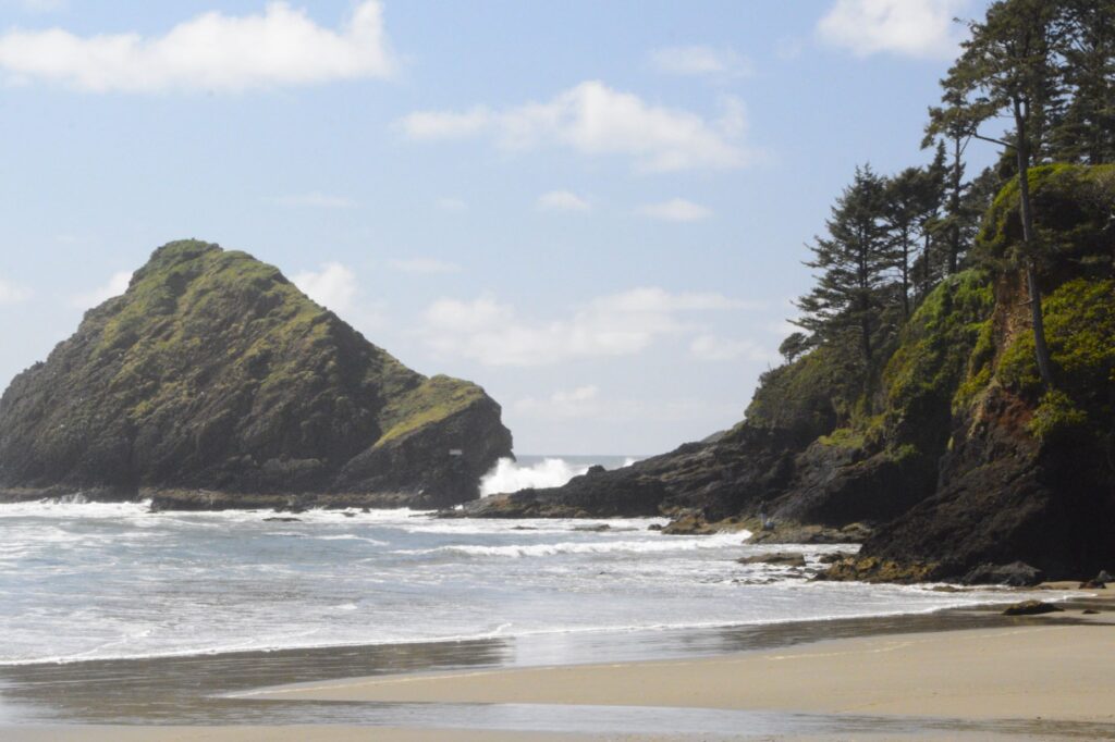
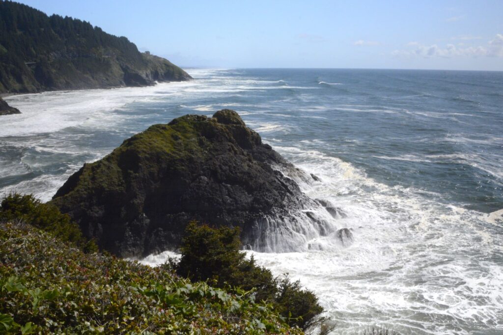
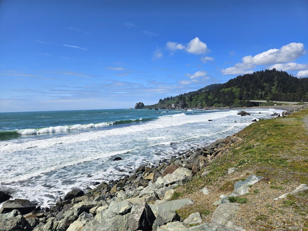
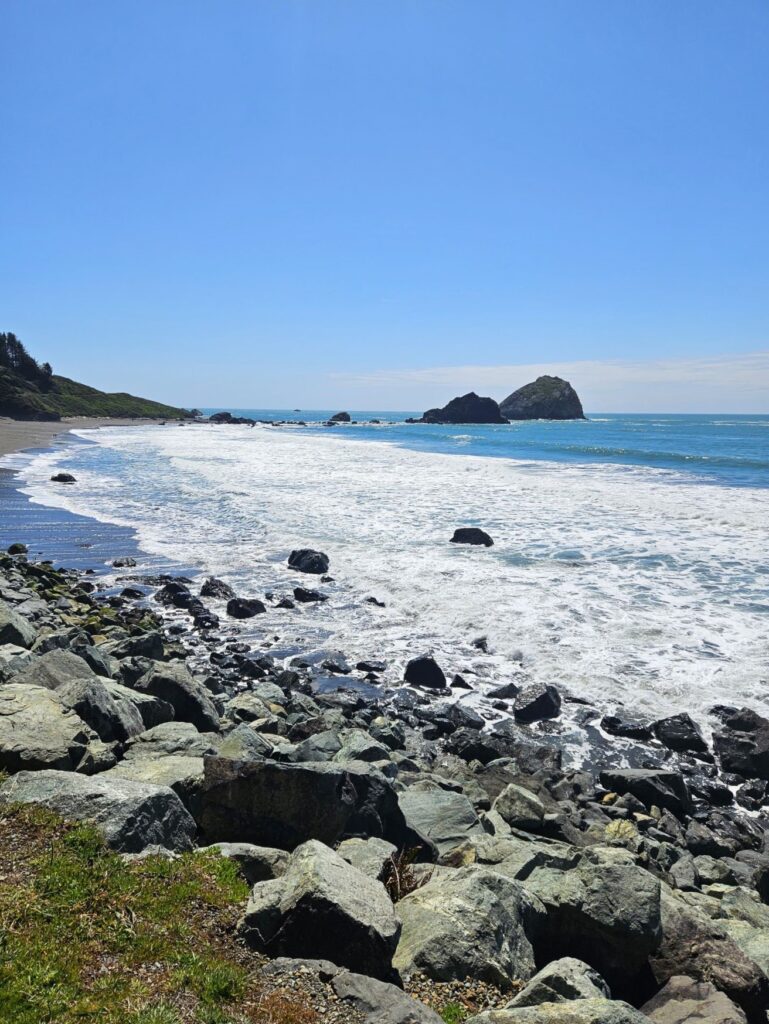
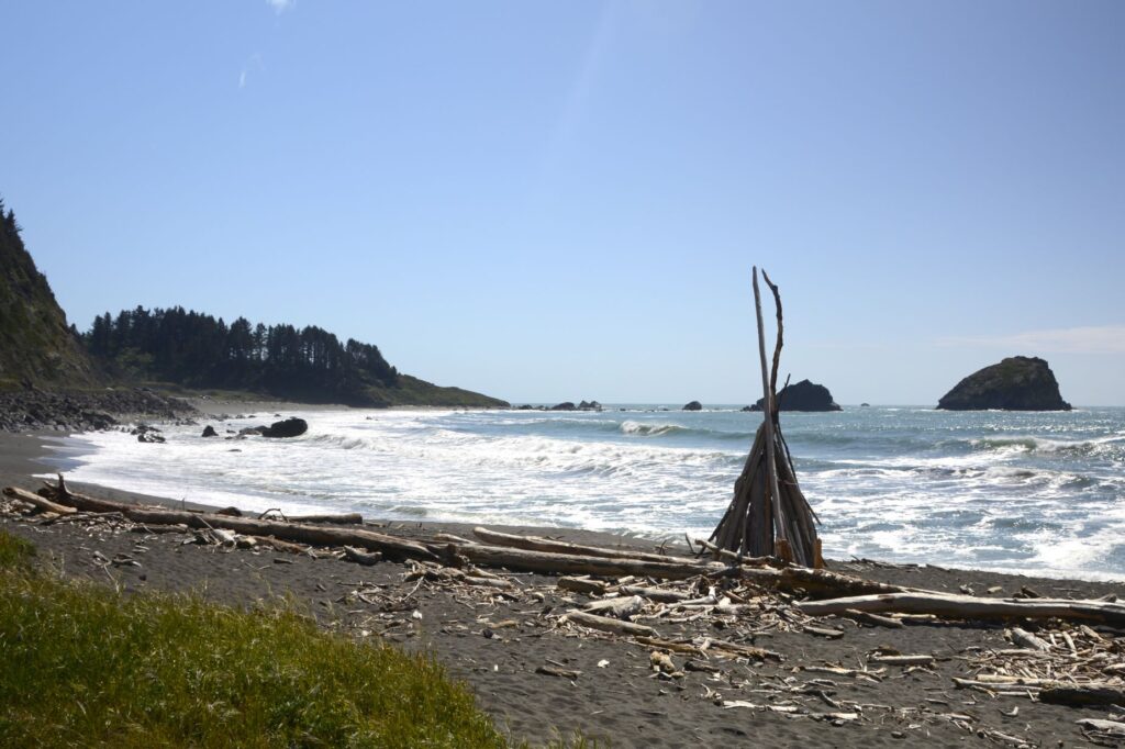
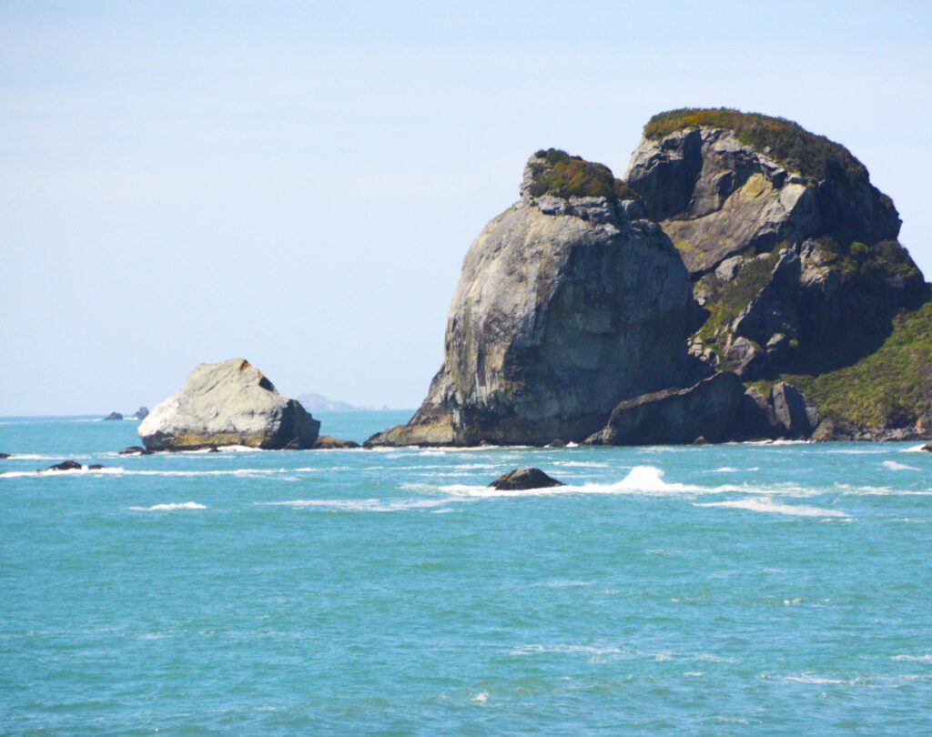
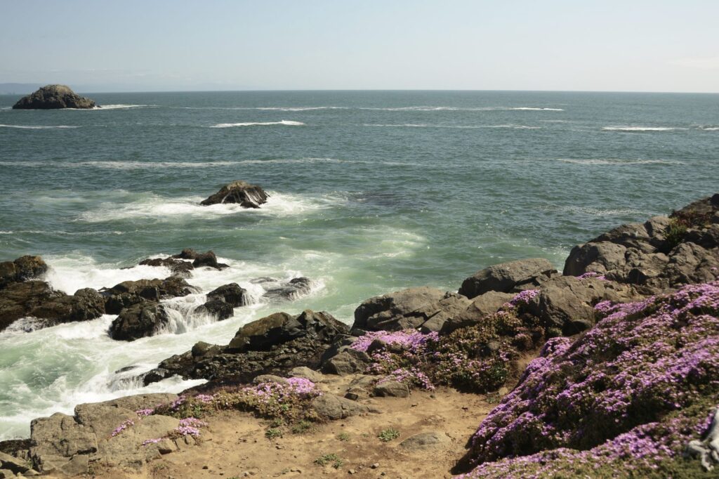
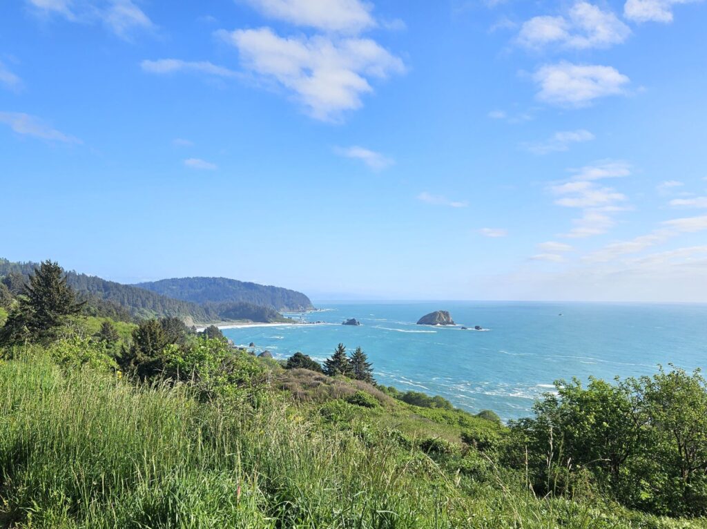
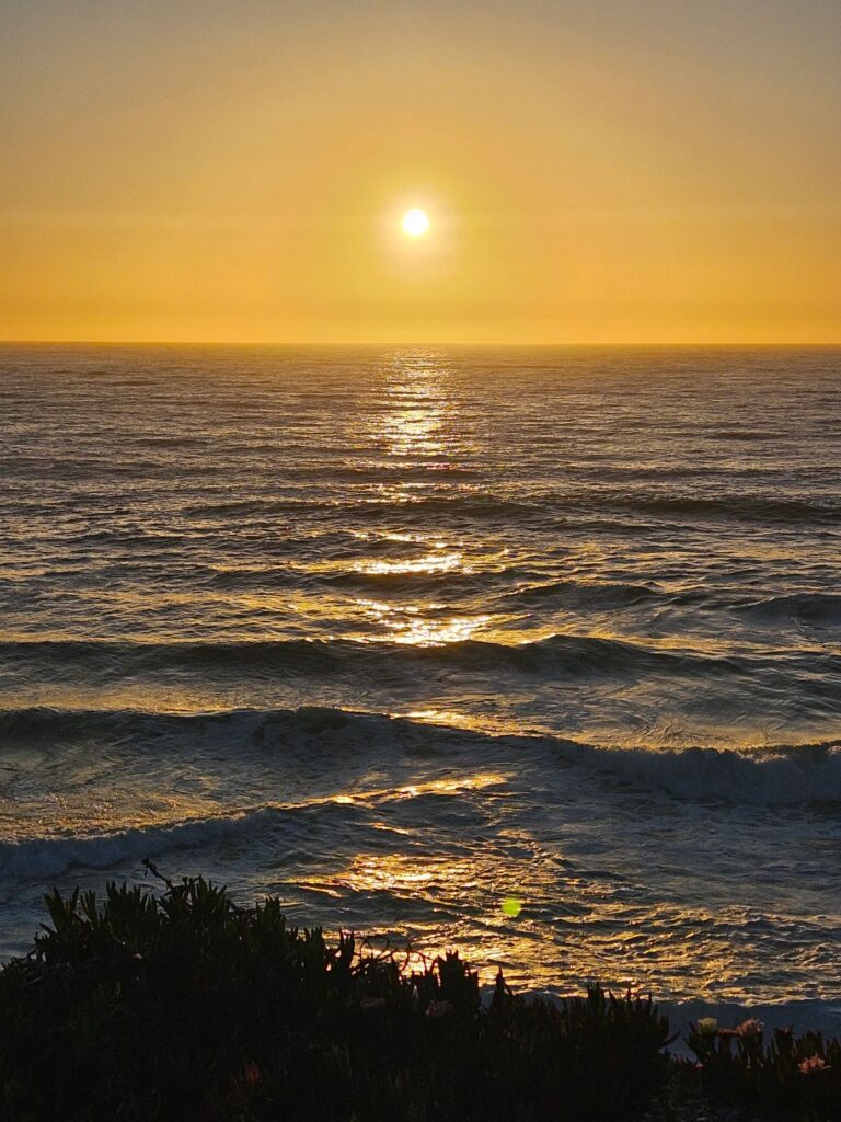
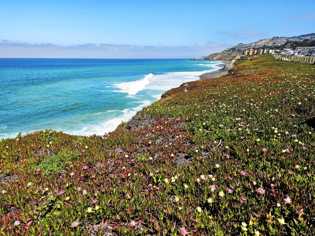
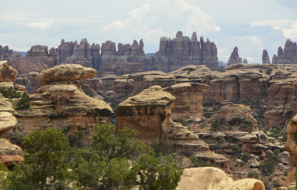
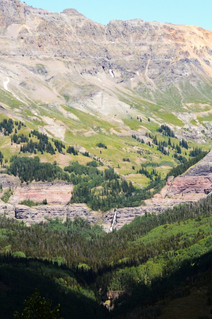
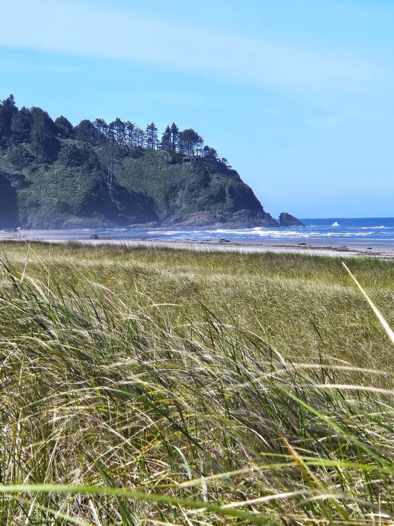
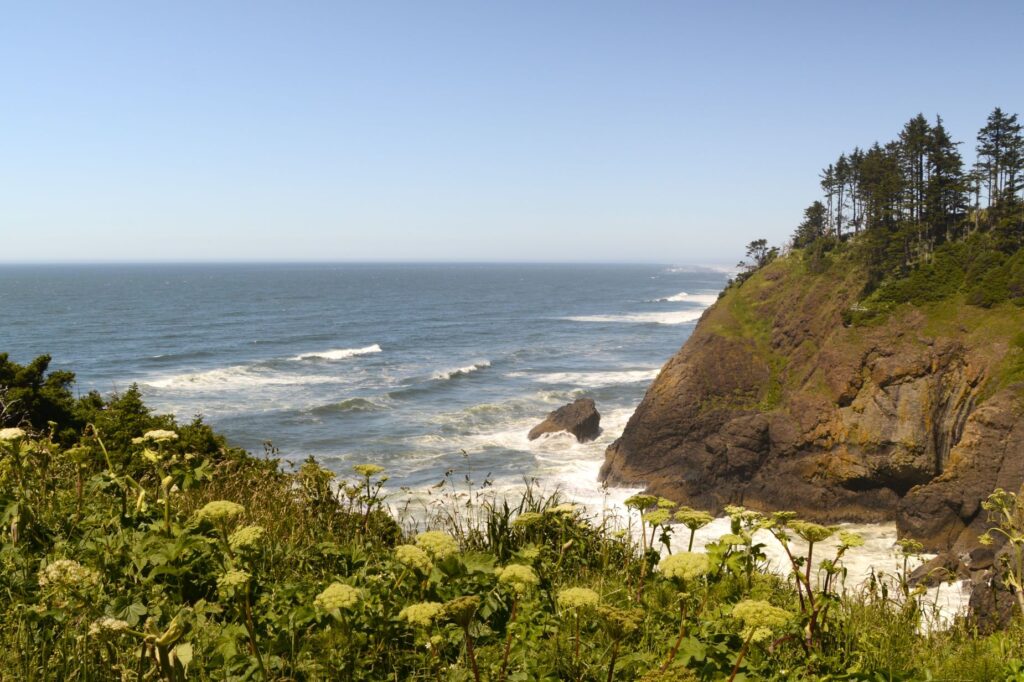
The coast of Washington is much like Oregon with rocky crags covered in trees jutting out into the ocean. This area is rich in Lewis and Clark history since it is where the famous expedition arrived on the west coast. It is also home to Long Beach, the world’s longest beach on a peninsula. It’s 28 miles long.
Cold, cloudy days are great for visiting museums. One such day, we visited the International Kite Museum in Long Beach, Washington. It displays kites from all over the world, as well as historical kites, like ones that were used in World War II.
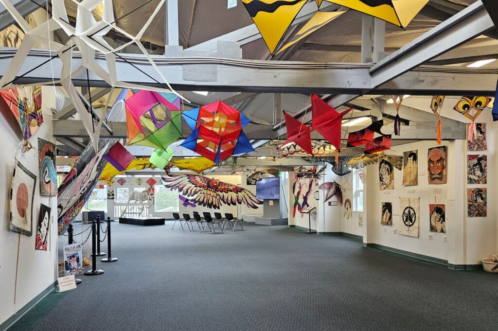
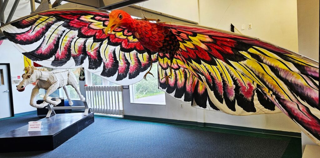
There were kites of every shape and size, even a horse kite. Here we learned the true story of a young boy who flew a kite across Niagra Falls. His kite was used to get the first rope across Niagra Falls for the start of a bridge that was to be built.
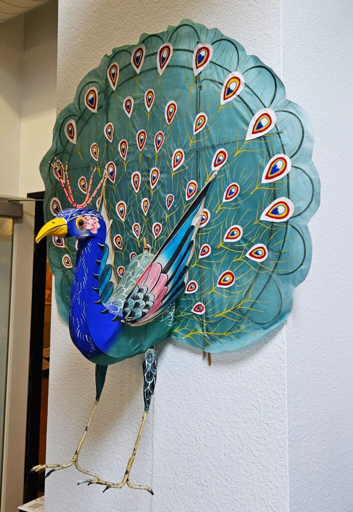
This peacock kite was one of my favorites. I’m not sure how it would fly, but it looked very interesting. Every year, Long Beach, Washington, has a kite festival that draws people from all over to fly kites and compete in competitions.
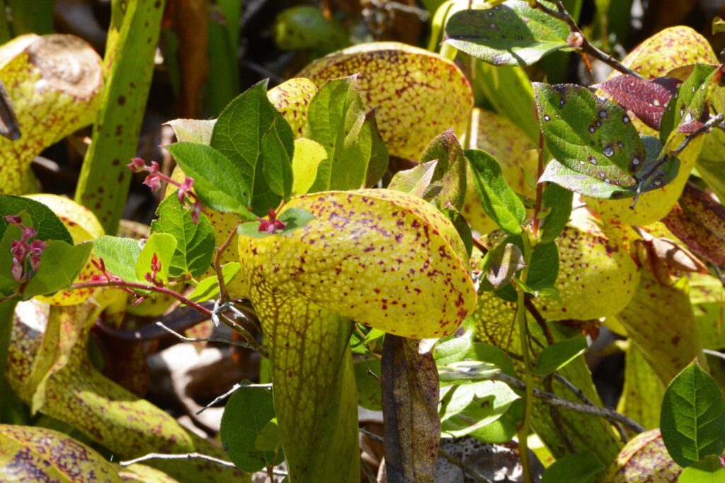
After the kite museum, we drove to the Cranberry Museum. At the Cranberry Museum we learned the history of cranberry farming in the surrounding area. Their displays include old machines and tools used for harvesting. In the gift shop there were hundreds of items made from cranberries: scones, cookies, jams, chocolates, soaps and essential oils, just to name a few. We bought some cranberry tea bags, and a cranberry fruit and nut bar. Delicious!
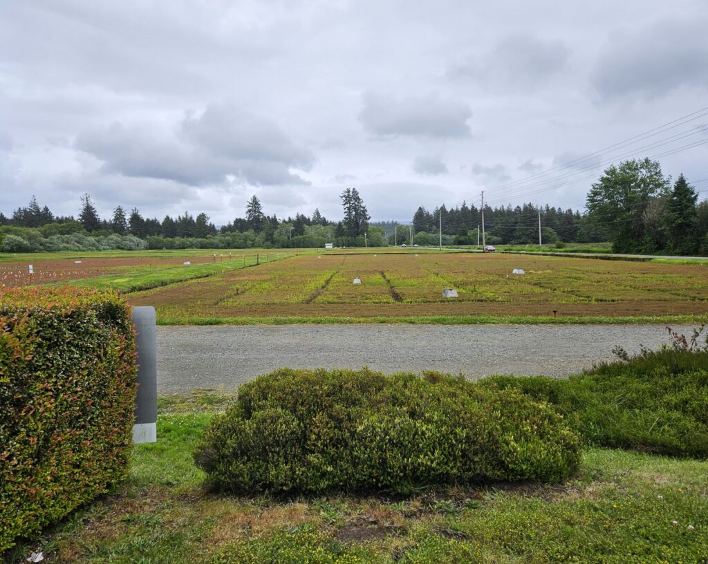
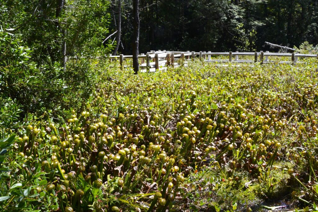
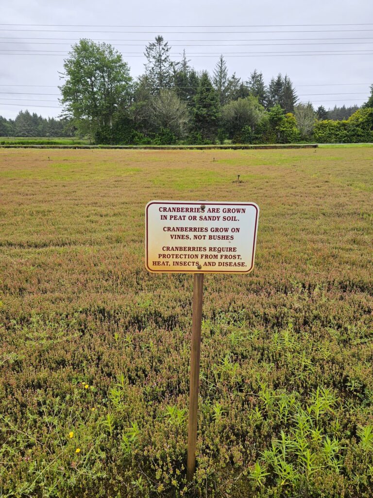
One of the things we learned is that cranberry bogs are only flooded during harvesting time. There are so many things that cranberry farmers have to deal with for a good cranberry harvest, like insects, weeds, frost, heat and disease.
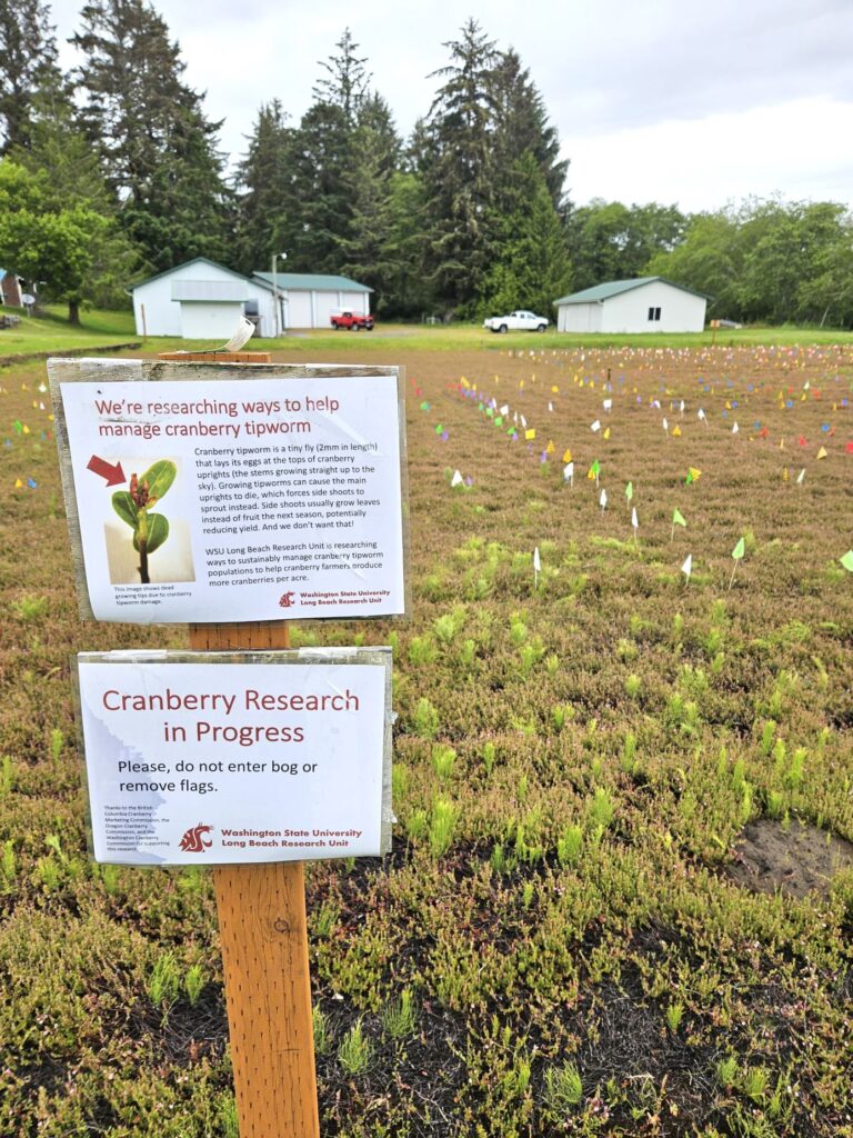
At this farm, they have fields where they are doing research. The flags keep track of treatments for the cranberry tipworm, an invasive insect.
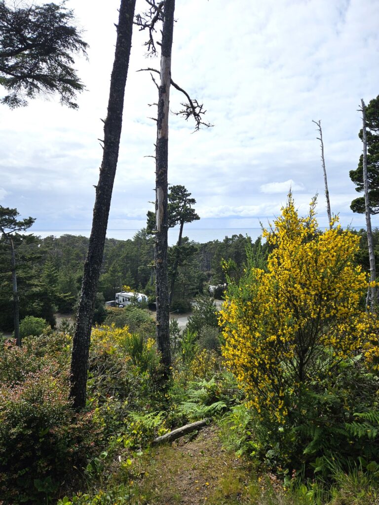
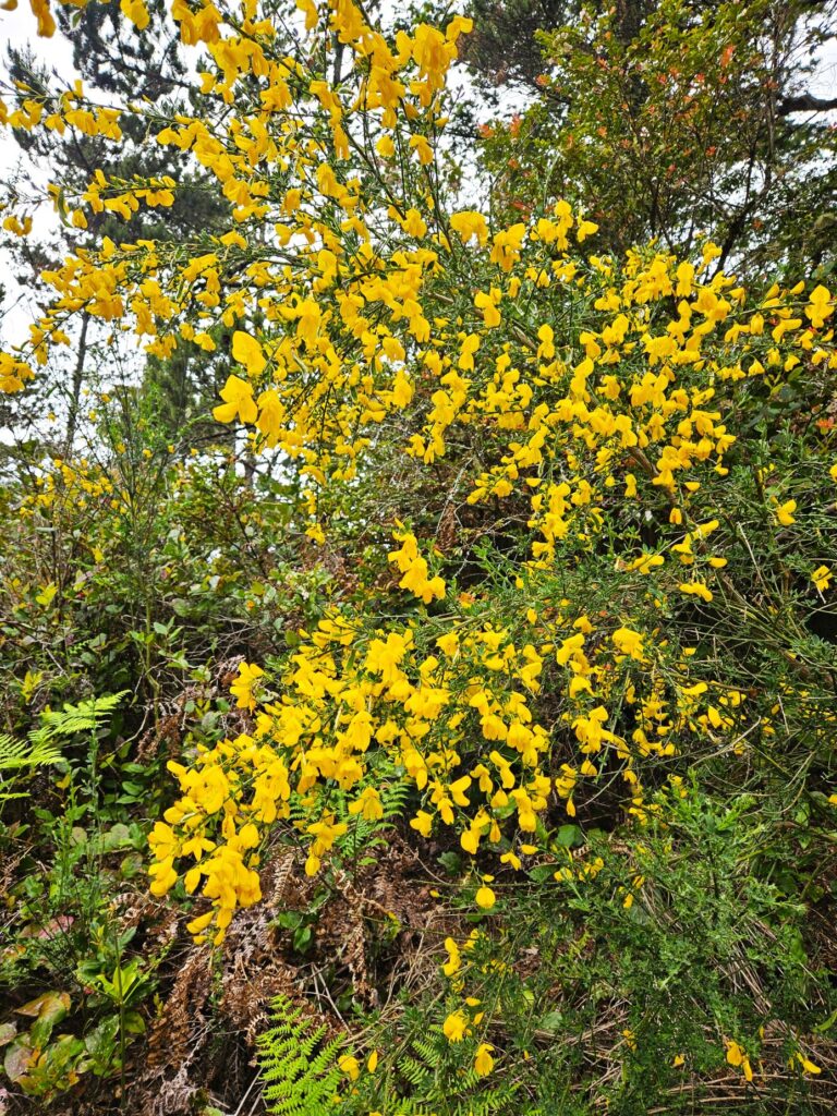
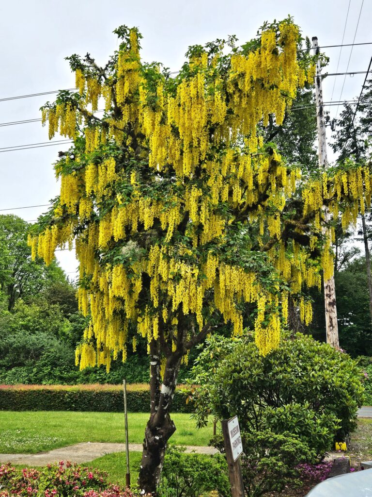
Out front of the museum was this beautiful tree called the golden chain tree. I thought it was very unique and beautiful.
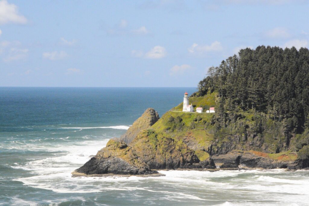
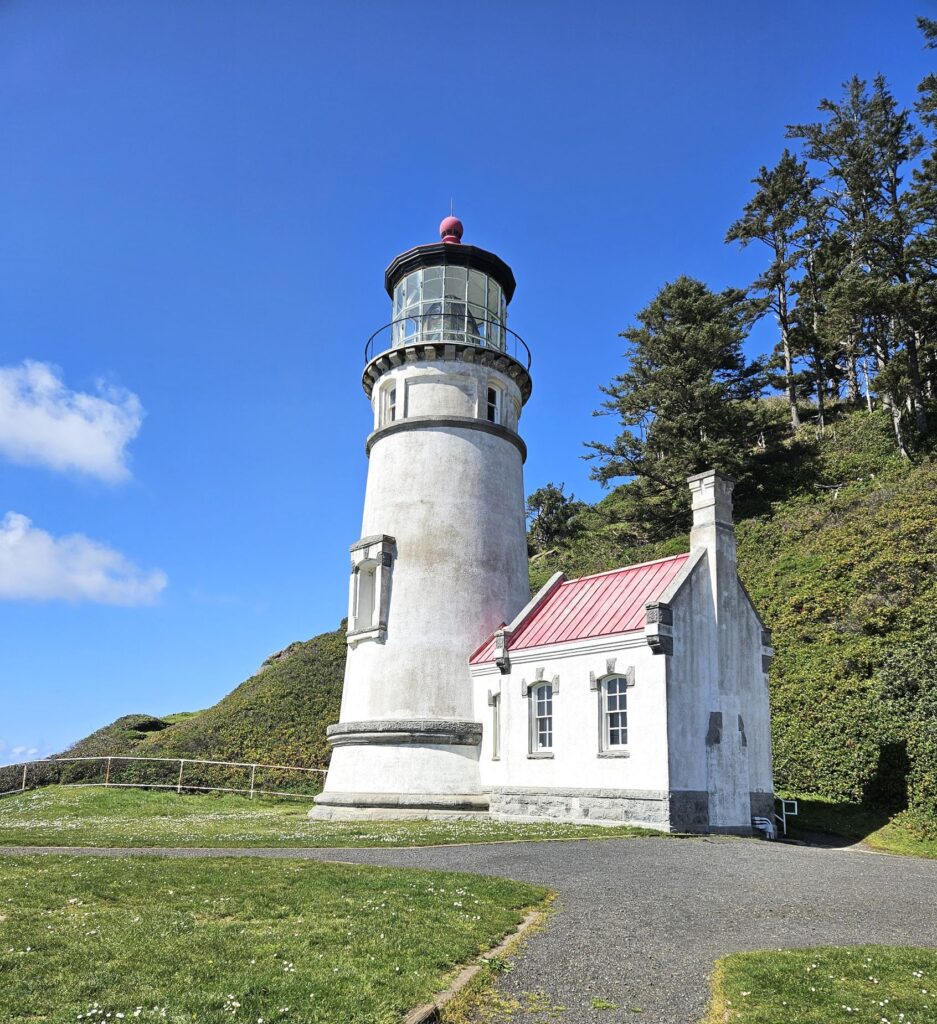
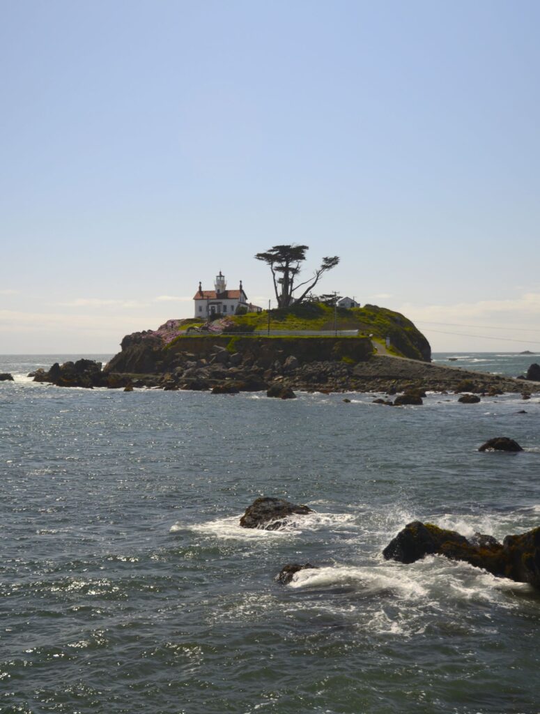
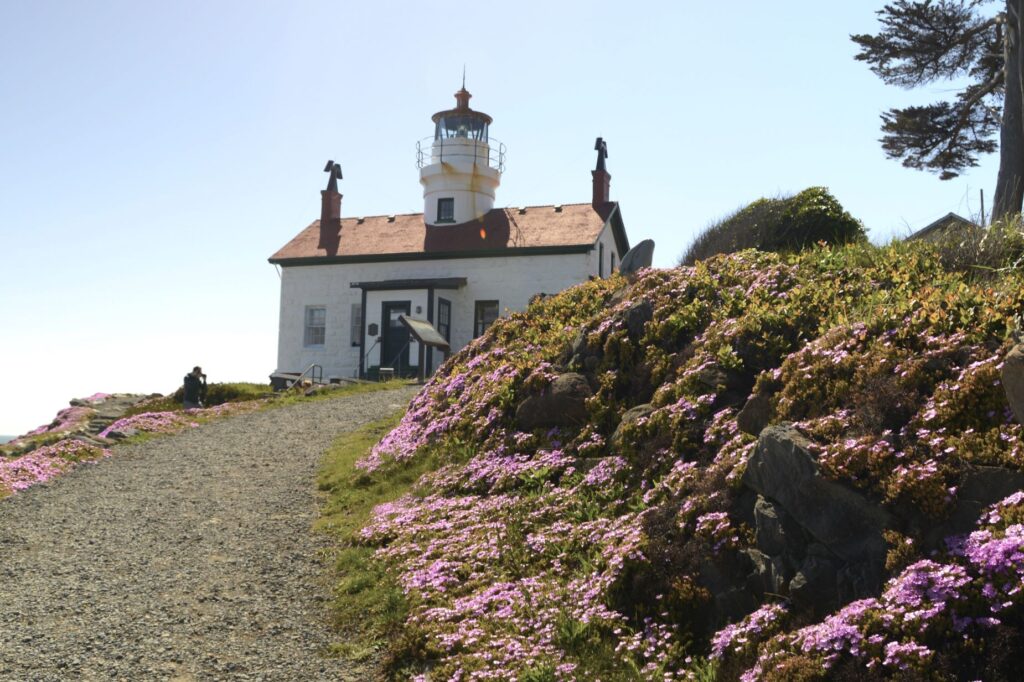
I love to photograph lighthouses. I photographed North Head Lighthouse at Cape Disappointment a couple of years before when it was covered in fog. This year I got another chance on a clear day to to try again.
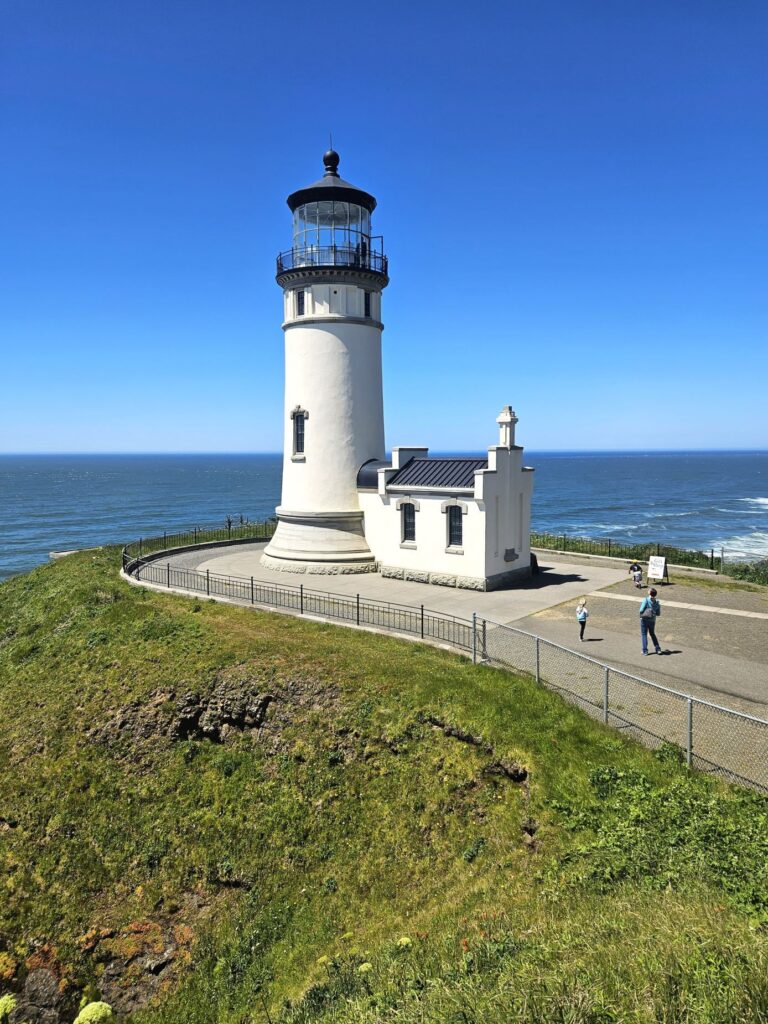
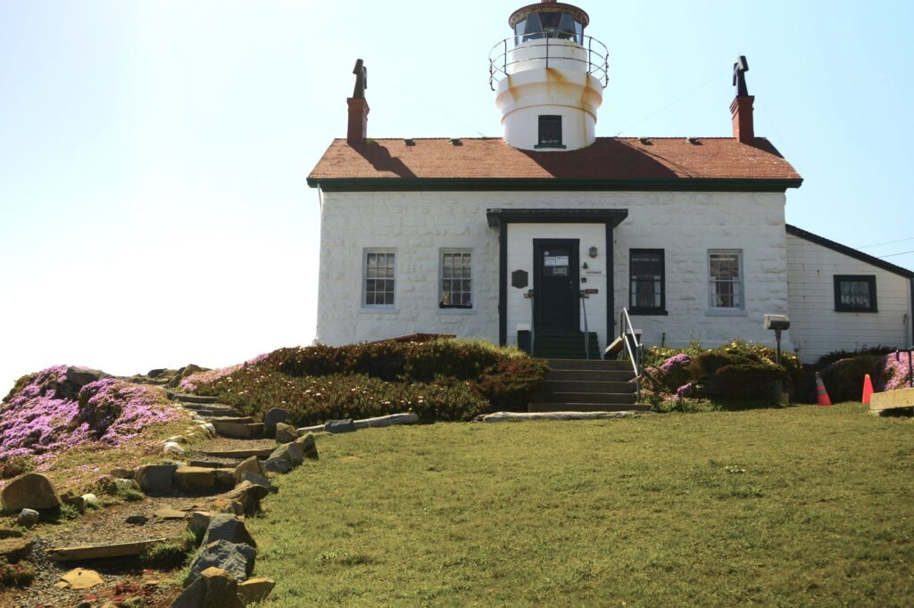
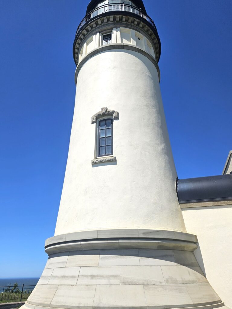
This is the first lighthouse we ever climbed to the top. It has 69 steps leading up to the lantern room where we learned about its history from a volunteer docent.
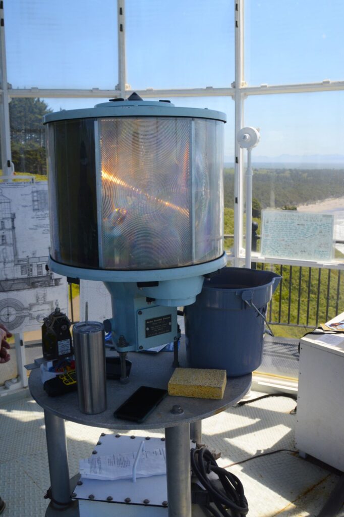
Standing near the light source, I was surprised it didn’t blind us. That’s because of the aerobeacon lens which focuses the light in one direction. It can be seen up to 21 miles out at sea. The light source itself, is a very small light.
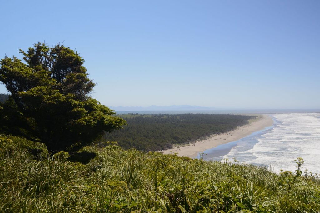
At the top of the lighthouse, we could see the rocky shore to the north and a long beach to the south, as well as the lighthouse keepers quarters up on the hill.
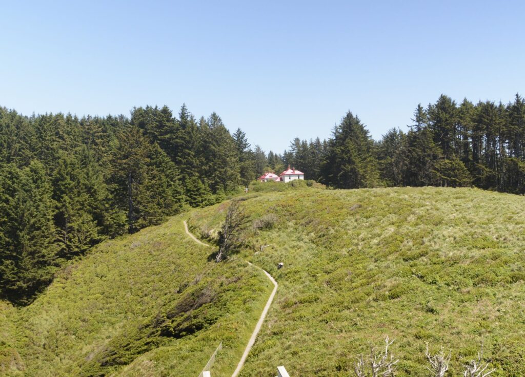
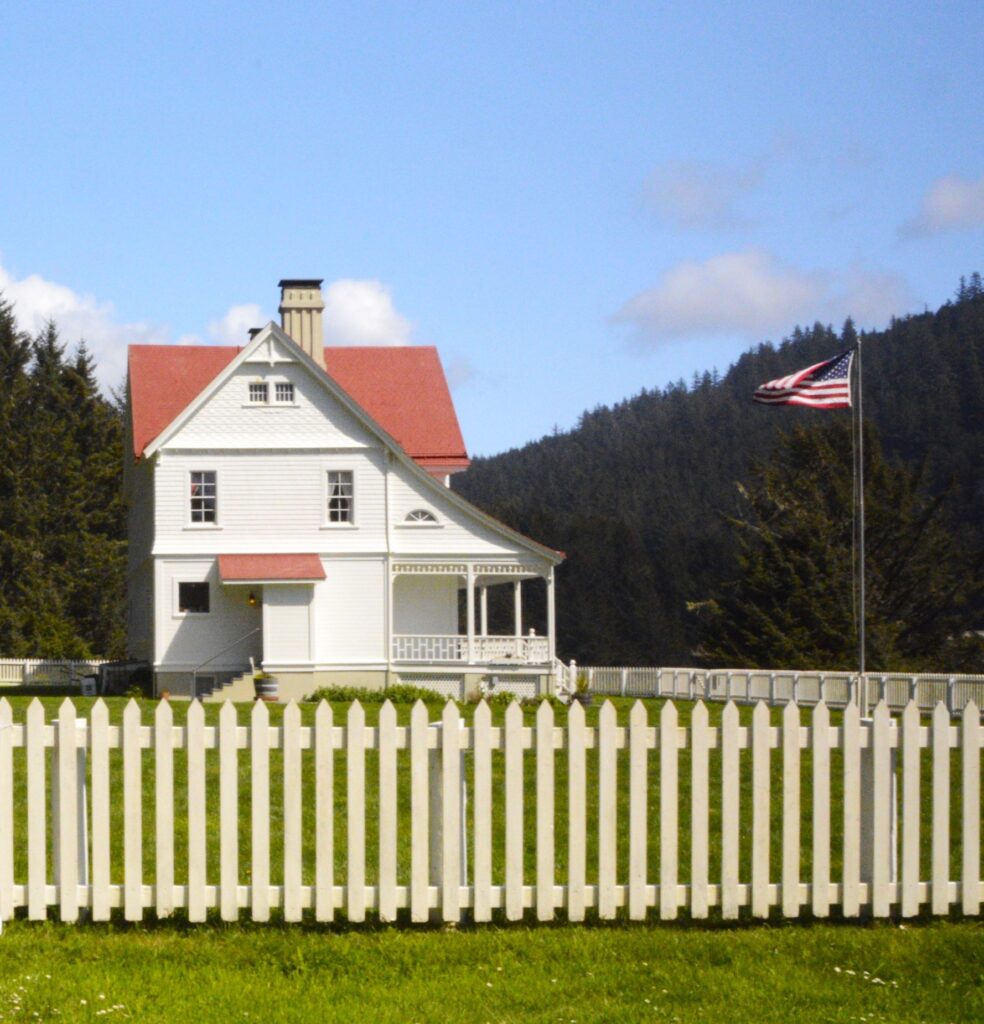
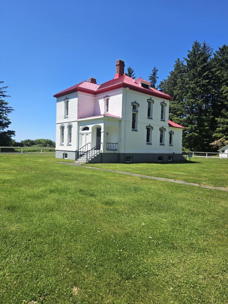
Today, the Lighthouse Keepers’ Quarters are available for overnight stays with kitchen, dining room and all the modern conveniences of today. Wouldn’t that be fun!
That same day we visited Cape Disappointment State Park to see the Cape Disappointment Lighthouse. It’s difficult to get a good photo up close because of the long steep trail. The trail is currently closed due to hazardous conditions. We drove to Waikiki Beach within the state park where we could see it at a distance.
These two lighthouses are only two miles apart. North Head Lighthouse was built because ships approaching from the north could not see the Cape Disappointment Lighthouse in time to safely enter the Columbia River channel. Today, they are still used as navigational aids.
Jesus said, “I am the Light of the world; the one who follows Me will not walk in darkness, but will have the Light of life.” John 8:12