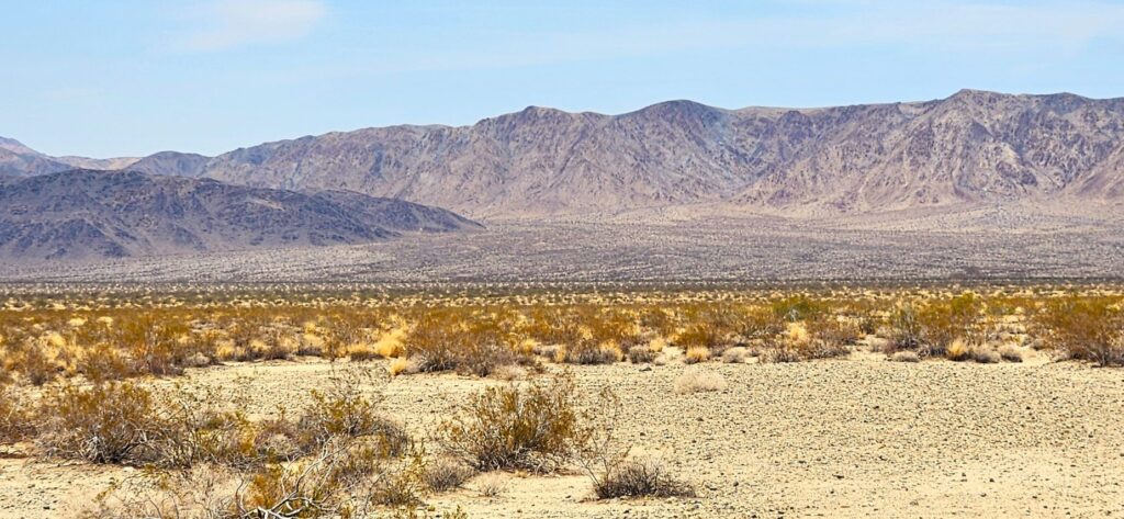
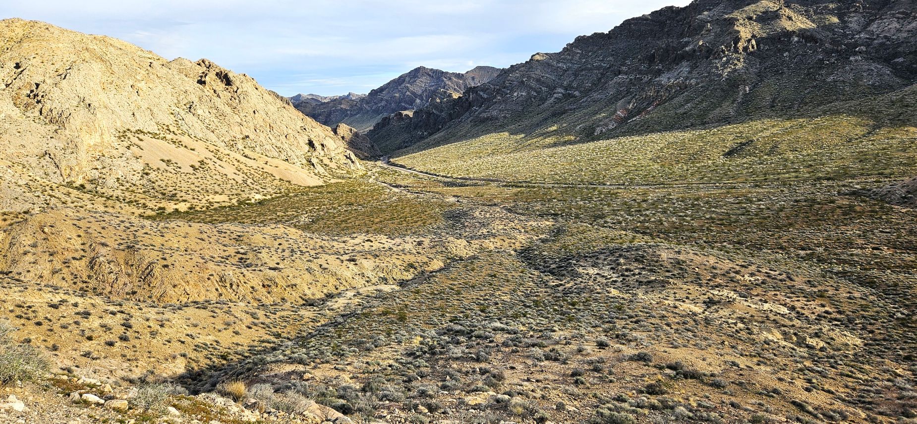
While staying in Pahrump, Nevada, we took a day trip to Valley of Fire State Park. The road into the park was very scenic, but it was quite some time before we saw red rocks.
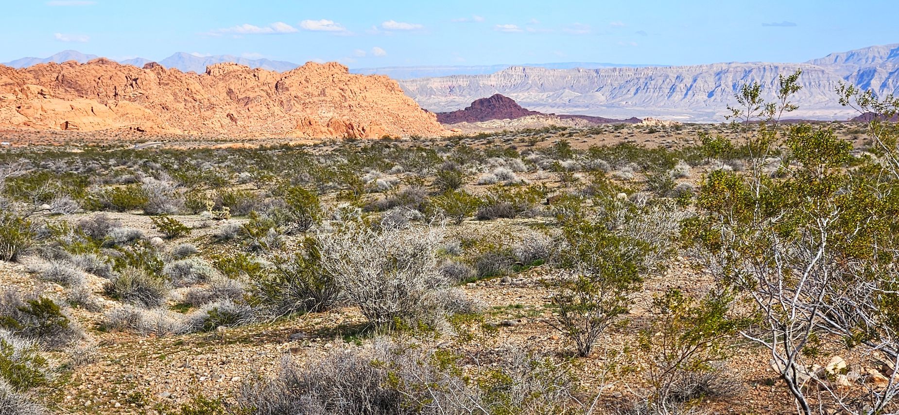
The red rocks come in varying shades of red: red, redder and really red.
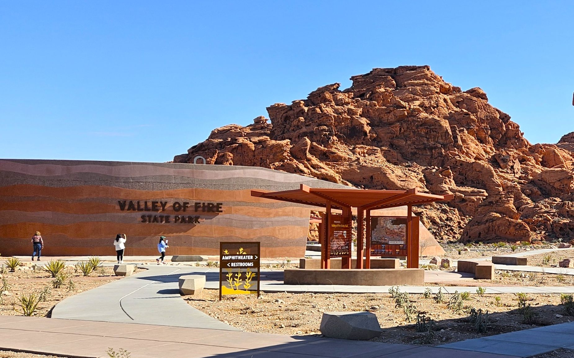
We entered the park through the west entrance. The new visitor center was fabulous with many interesting exhibits. Large windows looked out over the rocks behind the building.
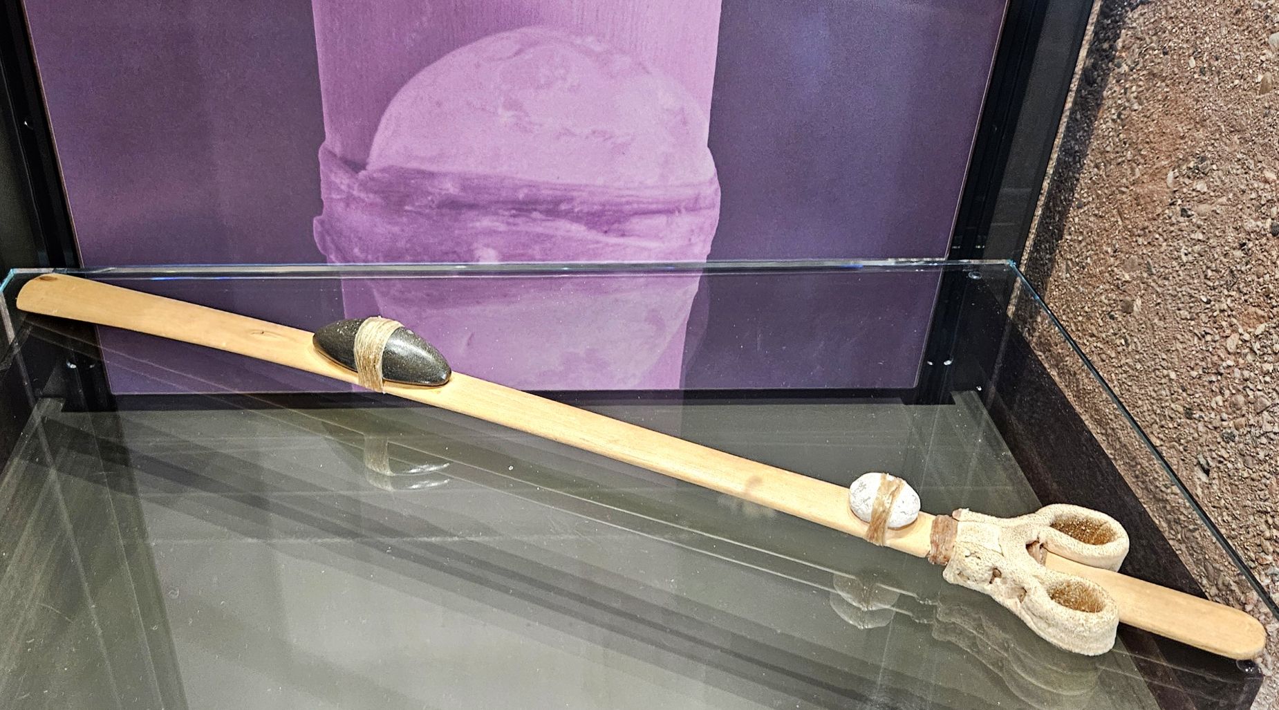
A facsimile of an atlatl (pronounced AT-lat-tuhl) was on display in the visitor center. It was used to hurl a spear or a dart. As a lever, it increased the velocity, force and distance. It was used for hunting long before the invention of the bow and arrow.
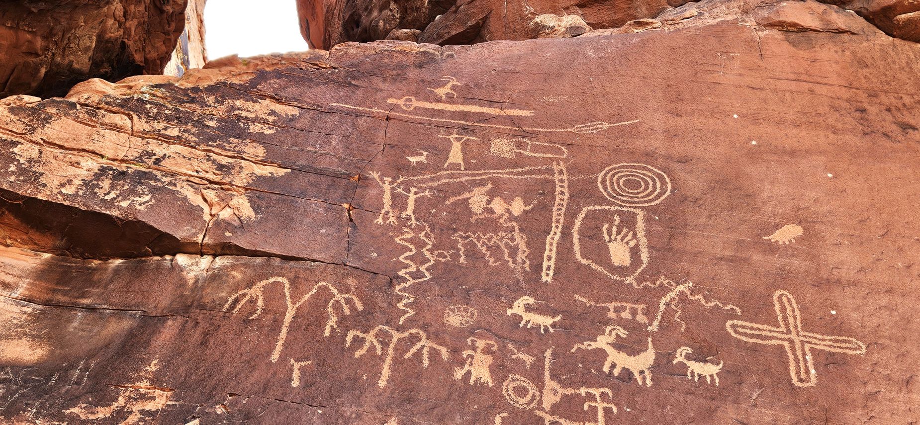
On our drive through the park, we stopped at Atlatl Rock, so named for the petroglyphs showing an atlatl. The petroglyphs were high on a wall, but a stairway led to a viewing platform.
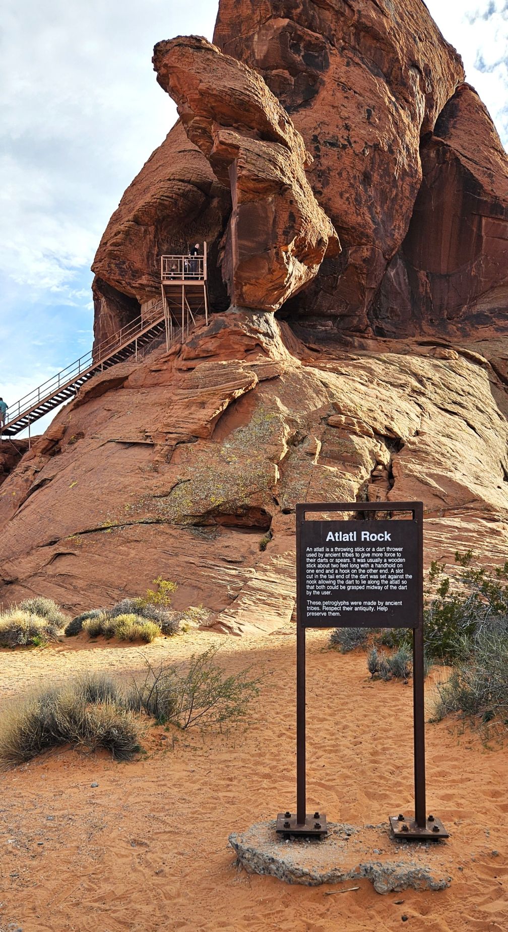
Can you see the atlatl at the top of the rock? Other symbols represent big horn sheep which were plentiful in the area. These petroglyphs are estimated to be 2,000 to 4,000 years old.
My first goal was to drive the White Domes Road to the Fire Wave and get there before it was too crowded. Even though we went on a weekday, it was so busy there was no place to park. I decided to save that for another time and just enjoy other places in the park. We stopped at Rainbow Vista where we ate our picnic lunch.
After lunch, I took a short hike on the Rainbow Vista Trail. I was stunned at how blue the burro bushes looked here.
This little side valley had some interesting hoodoos and rocks.
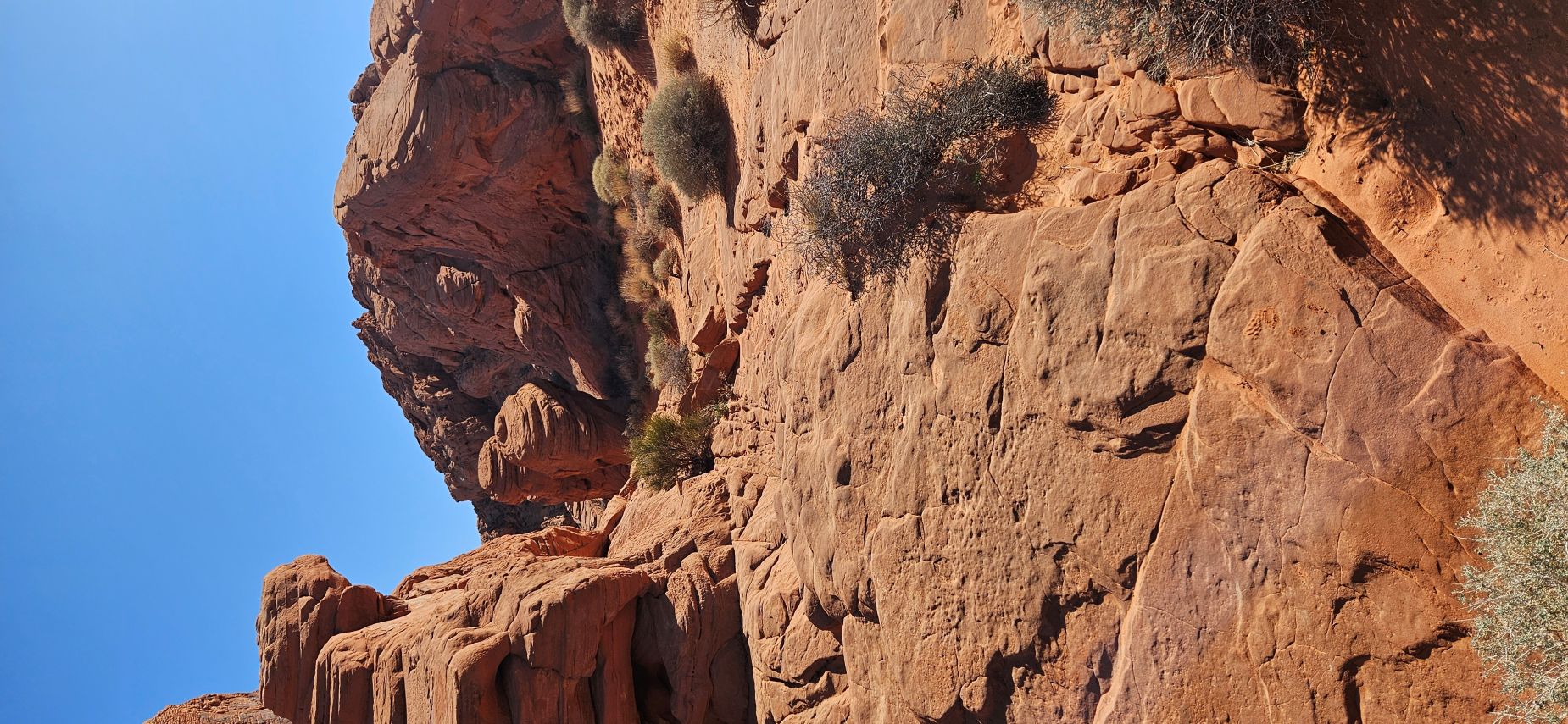
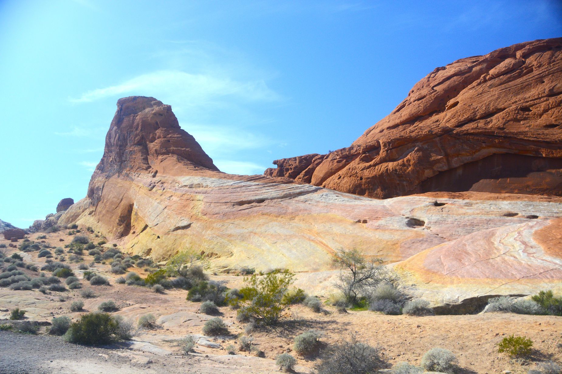
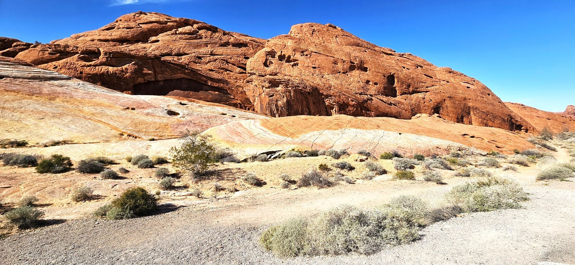
From Rainbow Vista, we drove the Fire Canyon Road to the Silica Dome Overlook. The rocks here were very jagged. A crevice divided the landscape.
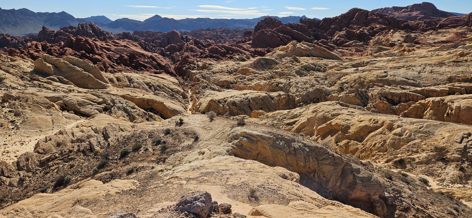
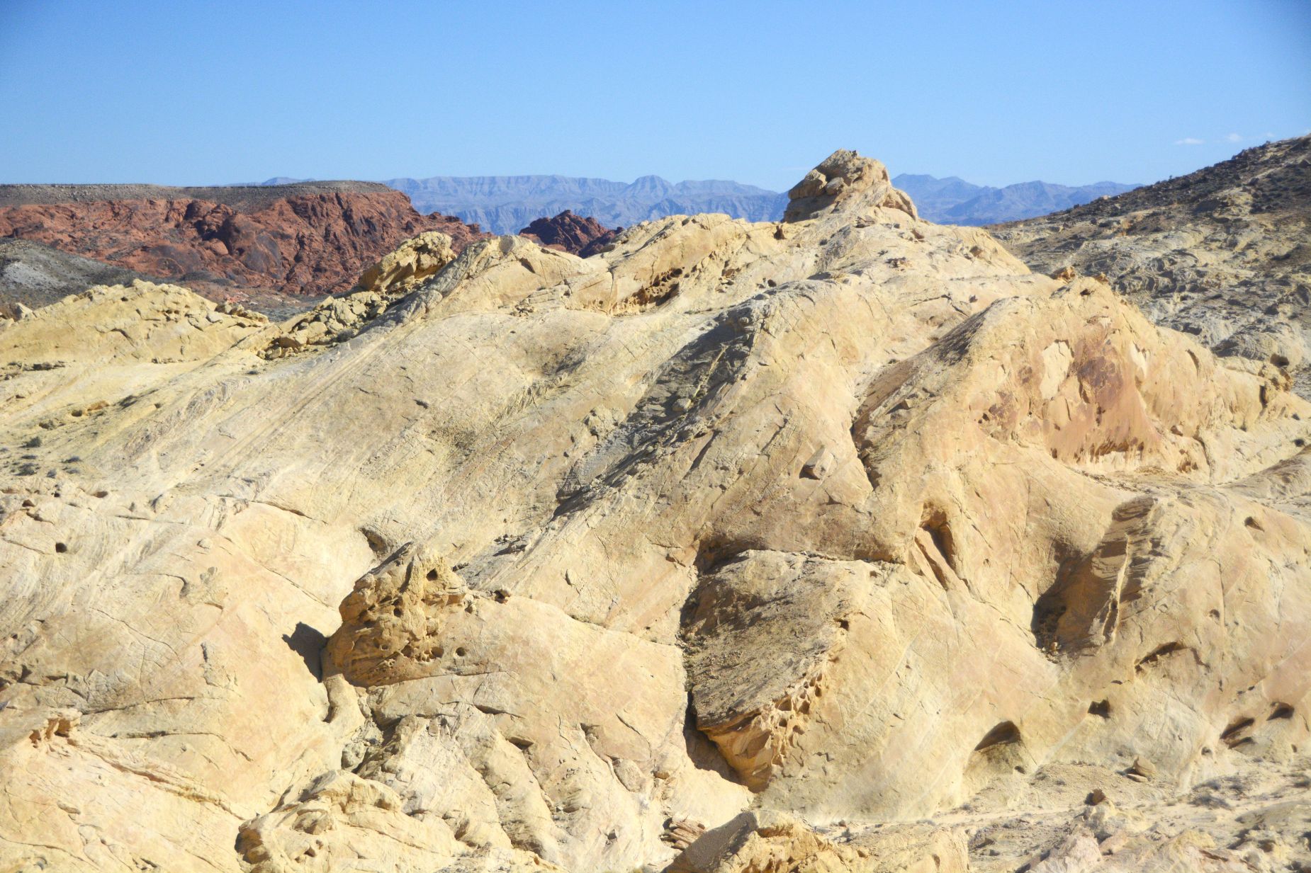
There was an overlook at the end of the road. I believe this is Silica Dome. The rocks here are a buff color in contrast to the reddish rocks found elsewhere in the park. The different colors come from the minerals in the composition of the rocks.
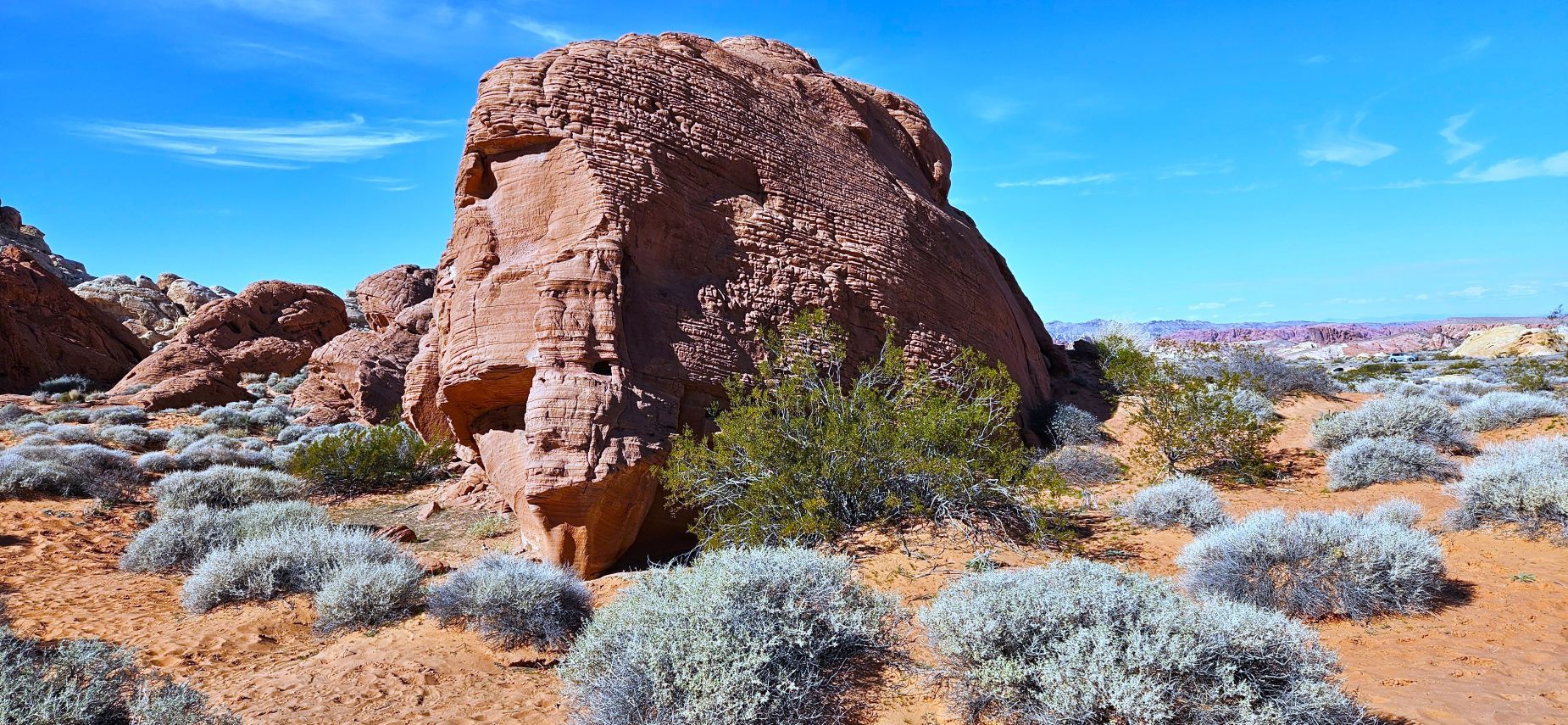
We drove back to Valley of Fire Road toward the east entrance of the park. The Elephant Rock can be seen from the roadway, but we hiked the short trail so we could get a closer look. Can you see the elephant?
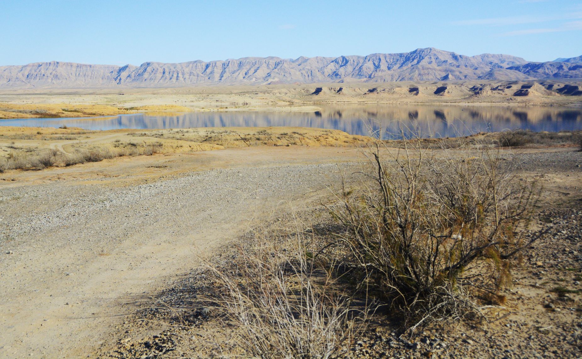
The park ends just past Elephant Rock, but we decided to drive outside the park to see Lake Mead. Surprisingly, it had a decent amount of water in it. With all the recent rains, the water levels have risen again. Lake Mead is formed from Hoover Dam on the Colorado River.
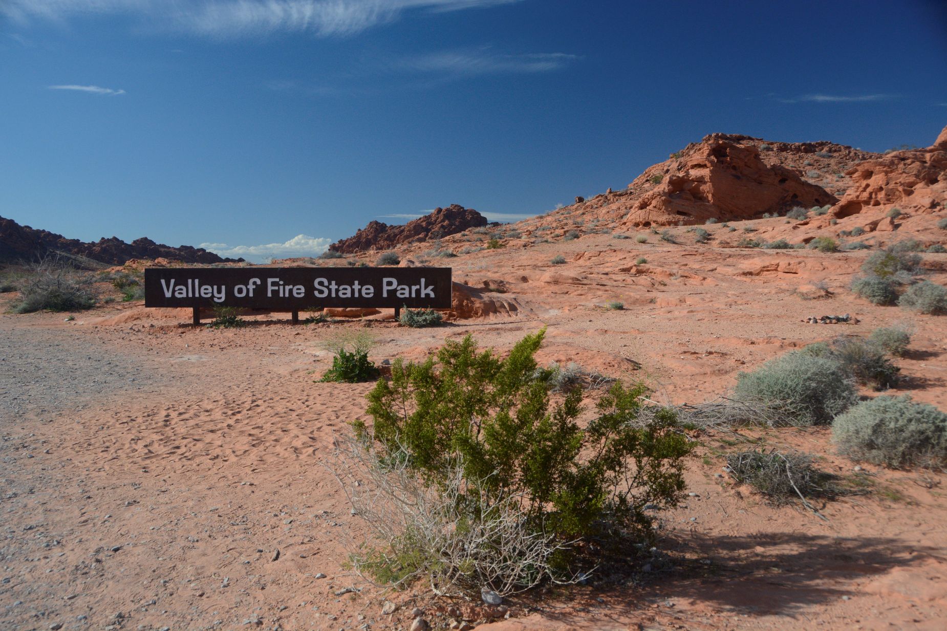
Going back into the park, I stopped to get a photo of the entrance sign which I missed on our way into the park at the other entrance.
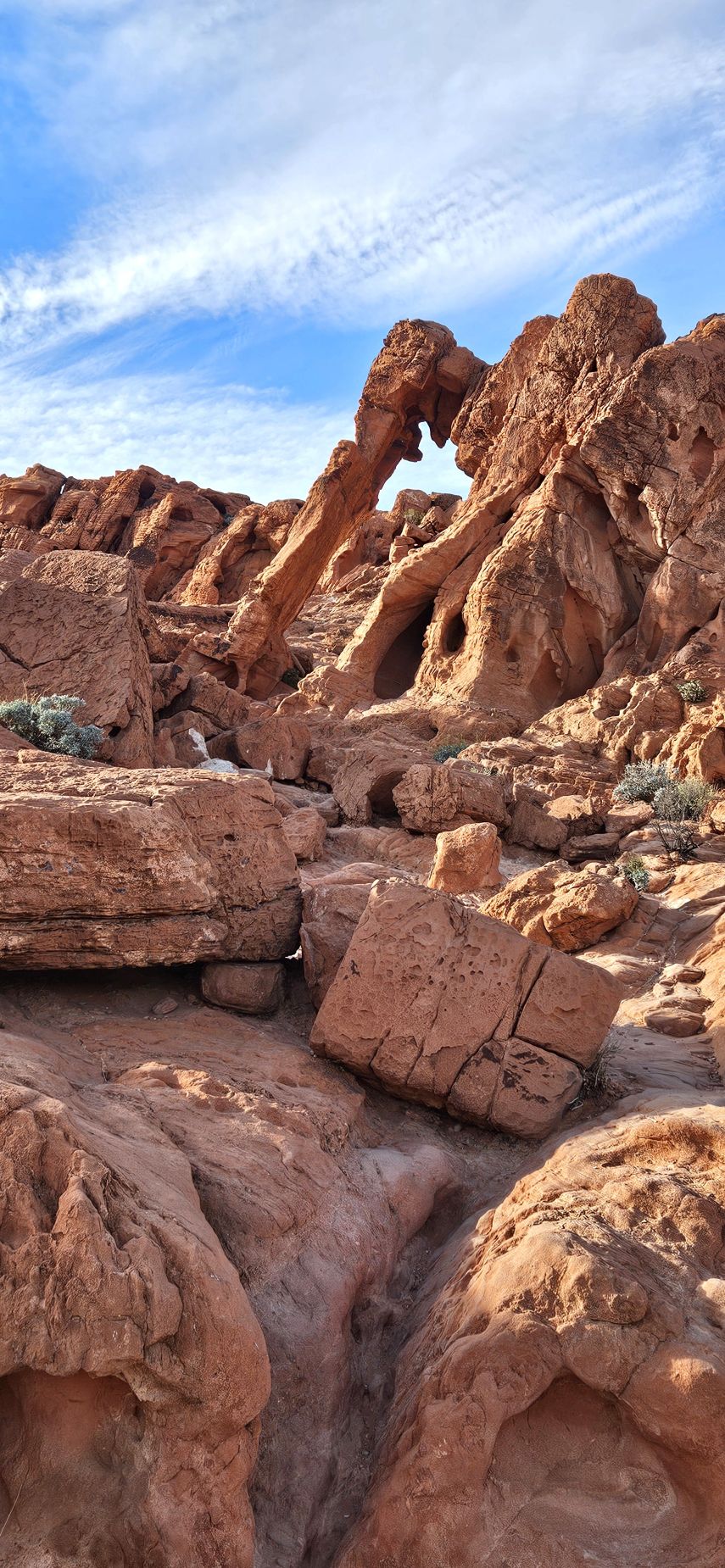
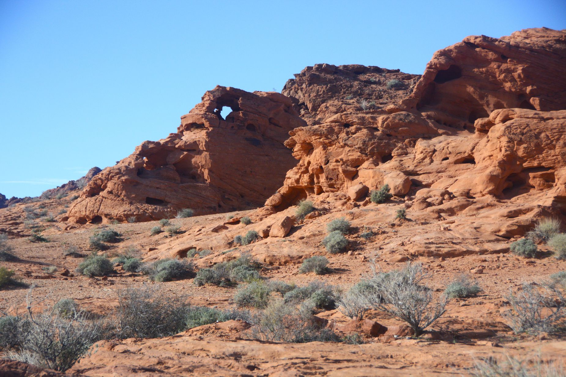
While trying to get the best angle, I spied a window in a rock.
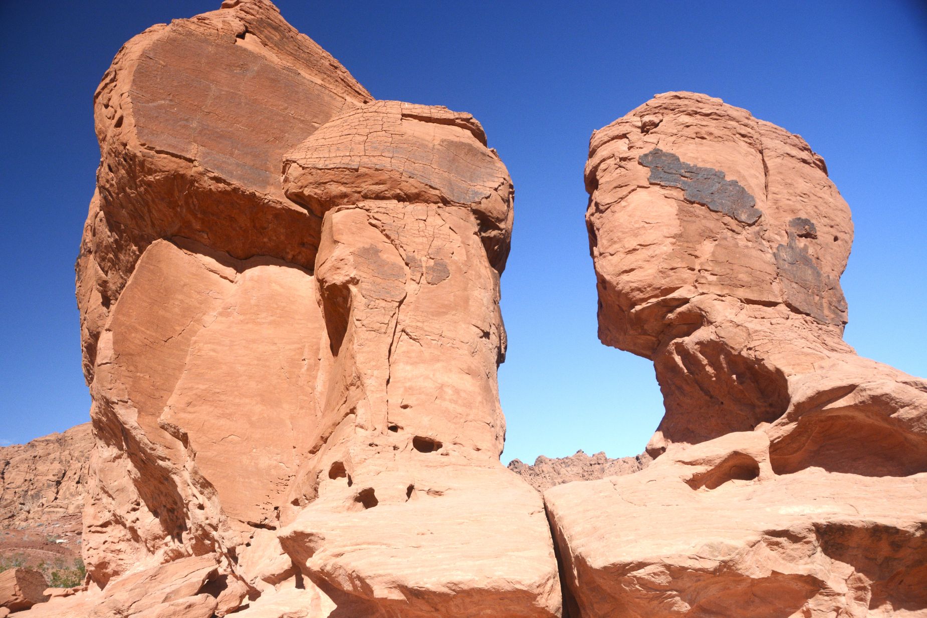
Also along Valley of Fire Road is a turnout and picnic area called Seven Sisters. Only one rock resembled a human head. You really need an imagination to see the other six sisters.
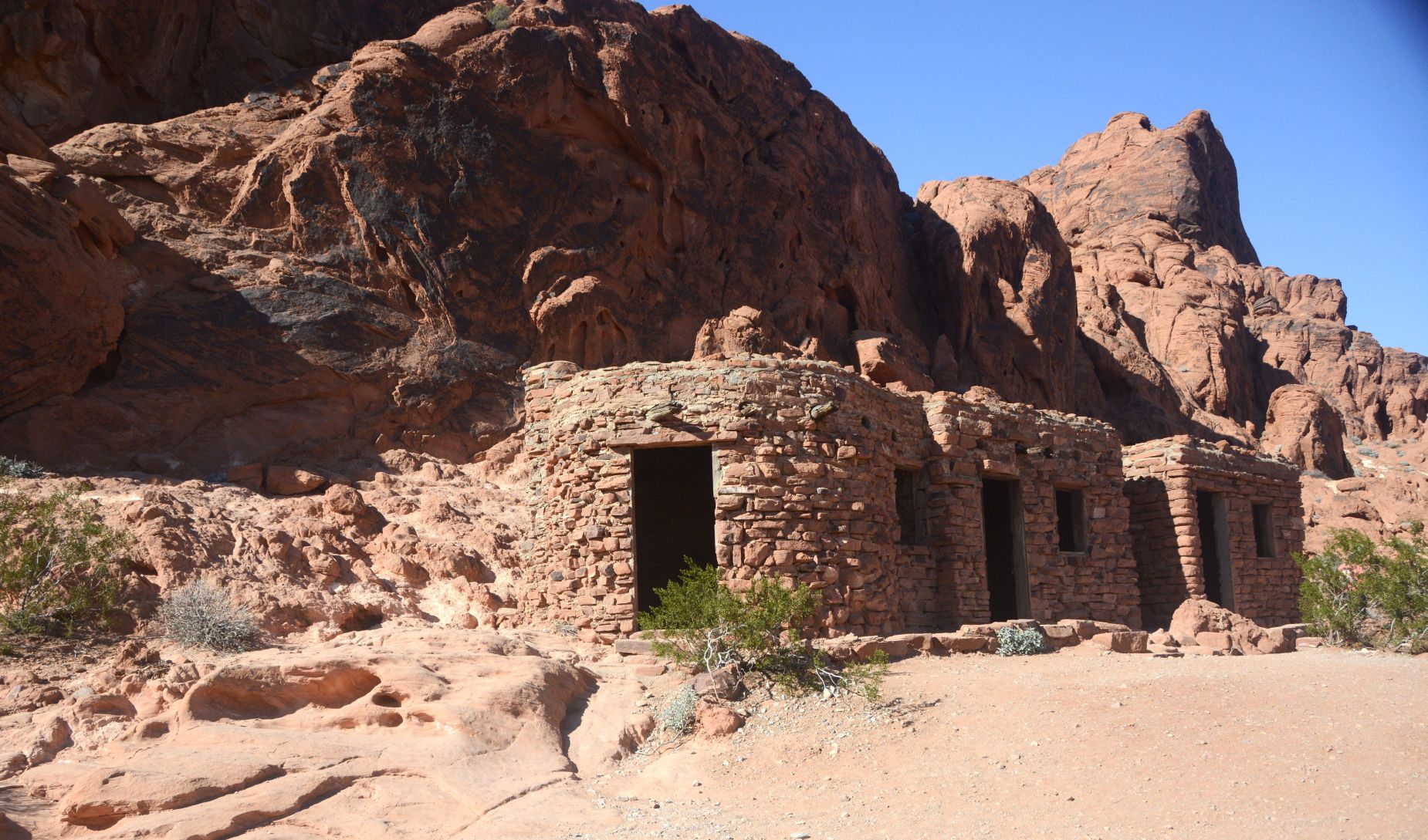
Another side road took us to The Cabins, built in 1935 by the Civilian Conservation Corps as shelters for travelers and campers. They even had fireplaces.
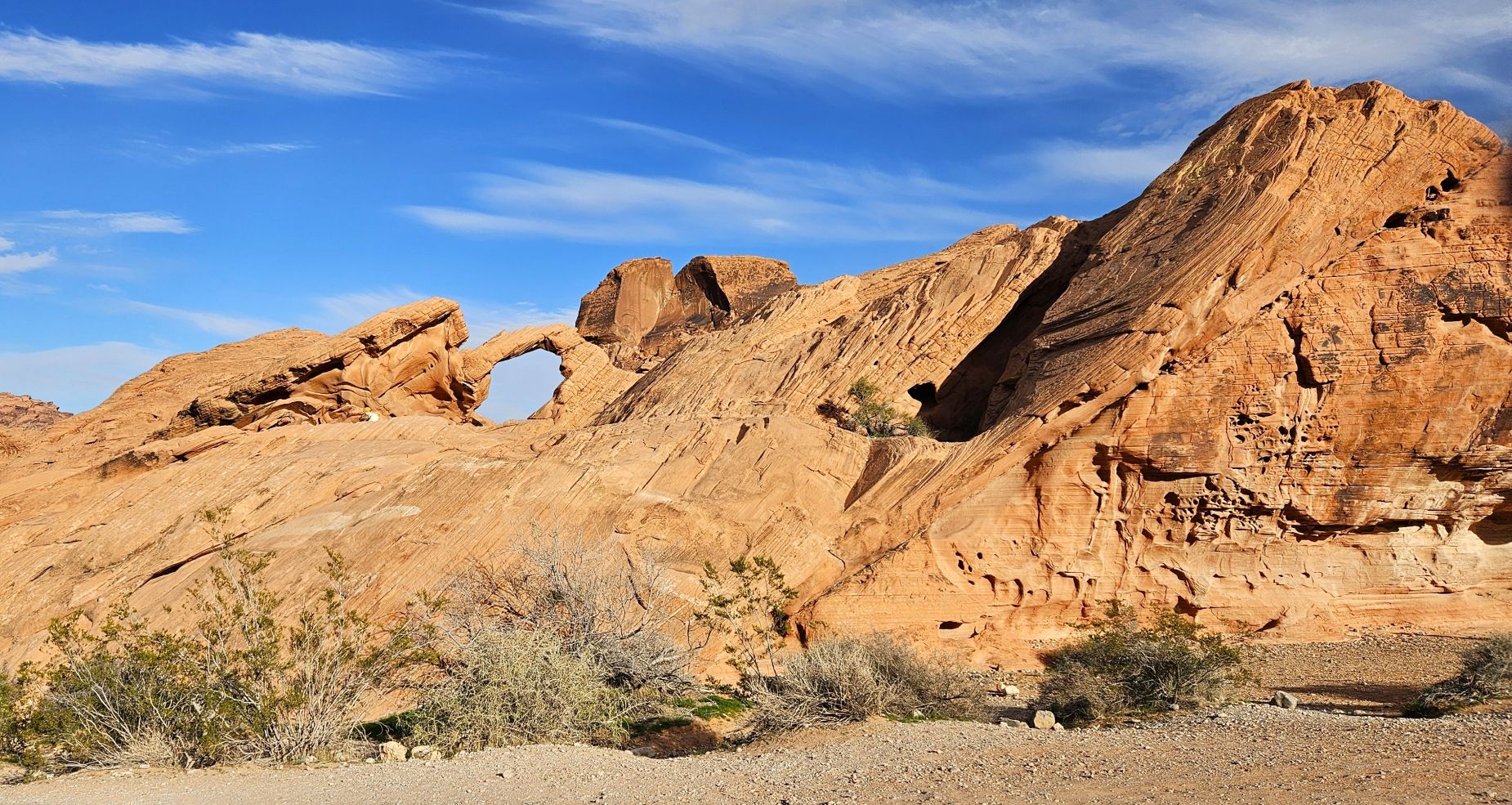
Past Atlatl Rock on a side road is a natural arch called Arch Rock. A large sign said “No Climbing on the Rocks.” So when I saw a man and woman climbing in the arch to get their Instagram photo, I ungraciously waved them off and yelled that they weren’t supposed to climb on the rocks. Am I becoming a grouchy old lady?
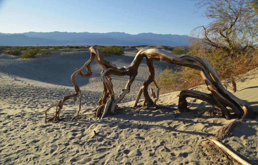
There were other sights to see like the Beehive formations, the petrified logs and the balancing rock. Some of them required lengthy hikes in order to see them. We will have plenty to see for the next time we come.
This Nevada state park was full of a variety of fascinating and beautiful scenery. Just an hour from Las Vegas, however, it quickly gets overrun with lots of visitors. Many of the trails are closed during the summer months due to extreme heat and hazardous conditions, so winter is a great time to visit. In my opinion, it’s worth seeing again.
“He is the Rock, His works are perfect,
and all His ways are just.
A faithful God who does no wrong,
upright and just is He.” Deuteronomy 32:4 NIV