Many Europeans immigrants settled in Texas in the 1800’s, entering through the port of Galvaston. The majority of them were of German or Czech descent. Being full or part-time farmers, most immigrants came to Texas because of the availability of land. They were very proud of their heritage and tended to settle in groups in the hill country and areas in the southern portion of Texas.
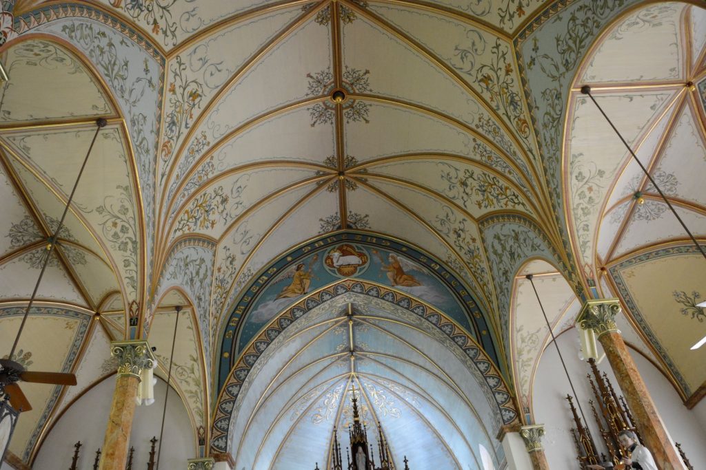
These same people built churches and decorated and painted them to emulate the elaborate churches they left behind in Europe. This included stained glass windows, hand-painted sculptures, paintings, stencils and more.
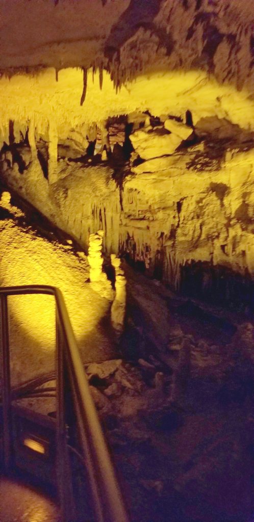
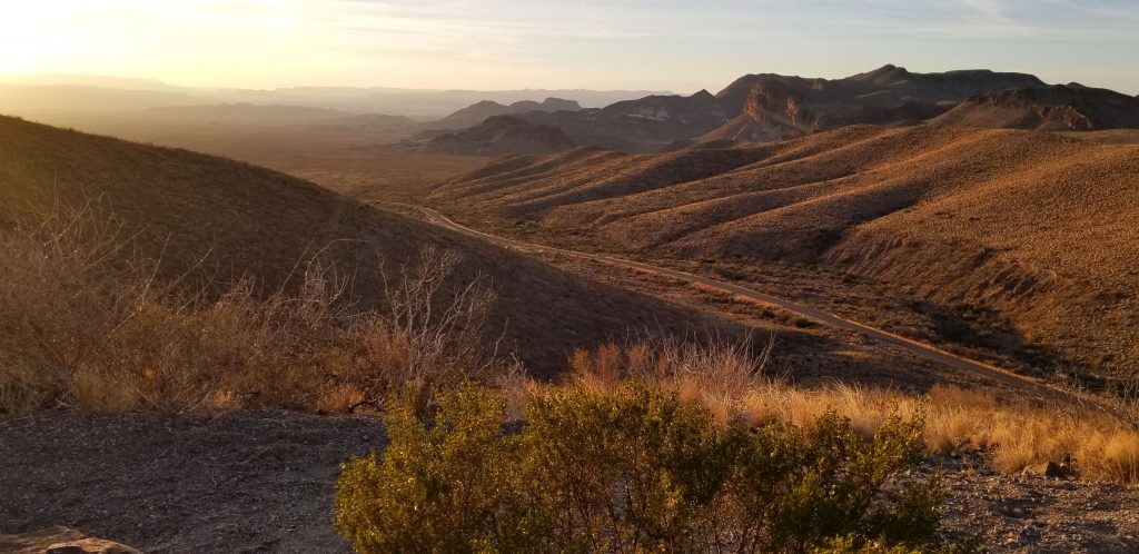
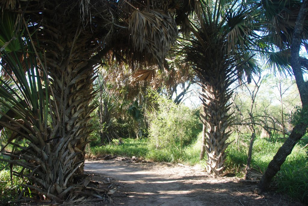
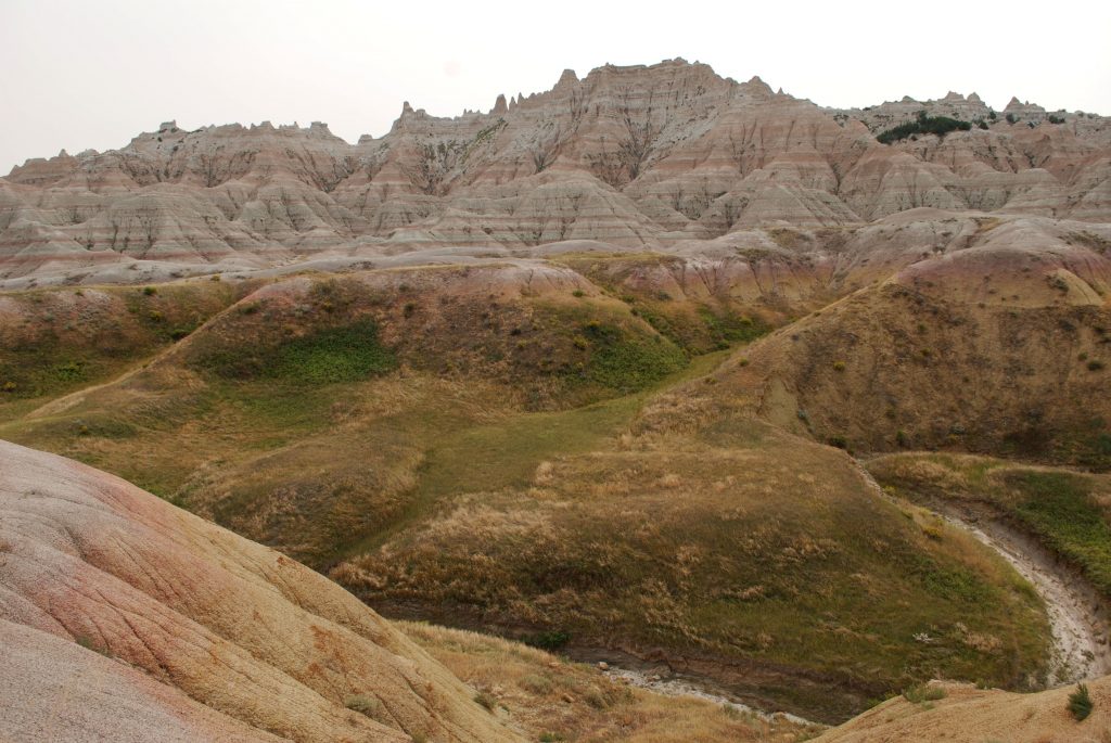
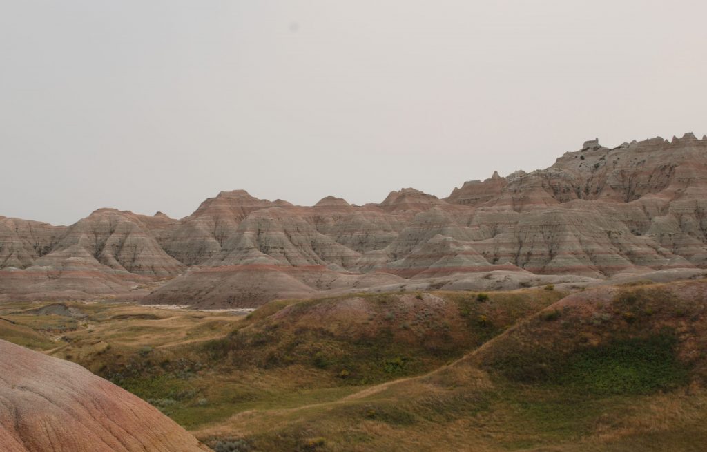
Although there are as many as 20 painted churches, four are located in the vicinity of Schulenburg, Texas. We took a pleasant drive through the countryside to visit these churches in one afternoon. If we had trouble locating any of these churches, we just had to look for the church spire which was visible from a distance above the tree tops.
1. Saints Cyril and Methodius Catholic Church
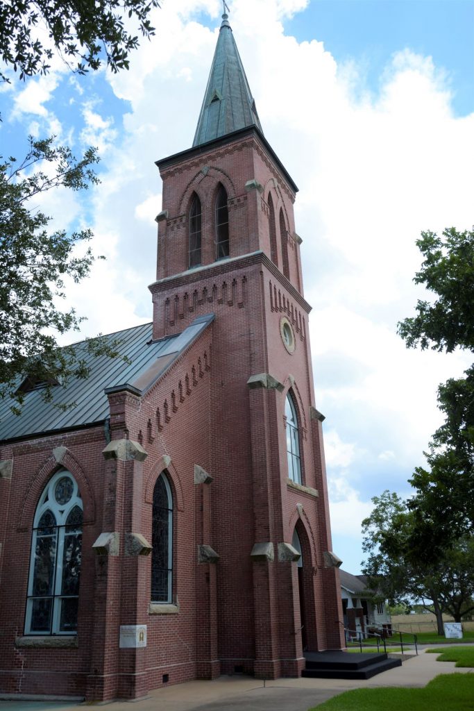
The first church we visited was Saints Cyril and Methodius Catholic Church in Dubina. Dubina means “oak grove” in Czech. Their first church was constructed in 1877 among the oak studded hills, but was destroyed in a hurricane in 1909. The church was re-built and topped by an iron cross found among the rubble of the first church. The cross was made by a freed slave blacksmith. It is still atop the church today.
The original artwork was painted over in white paint in the 1950’s because the artwork was thought to be too distracting. In the 1980’s, however, when other painted churches were being recognized for their beauty and historicity, the church members decided to restore the church to its original beauty. They uncovered old designs and found old stencils stored in the church to repaint the designs. The columns look like marble, but they are actually just painted to look that way.
2. St. John The Baptist Catholic Church, Ammannsville
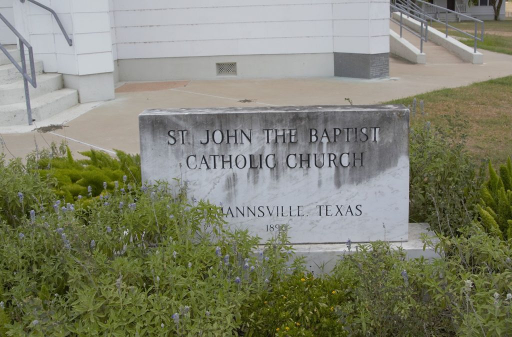
It was a short drive to the next church: St. John the Baptist Catholic Church in Ammannsville, Texas. It looks similar on the outside to Saints Cyril and Methodius Church. The first church built here was also destroyed by the 1909 hurricane. They rebuilt, but the second church was destroyed by fire. The third and current church is the one standing today.
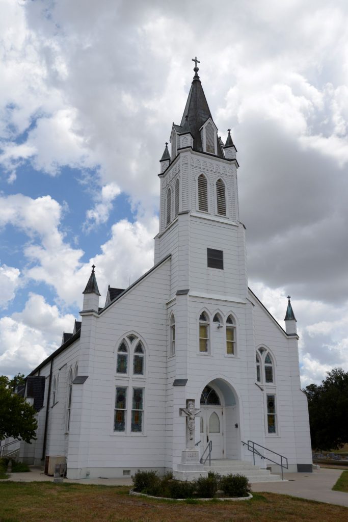
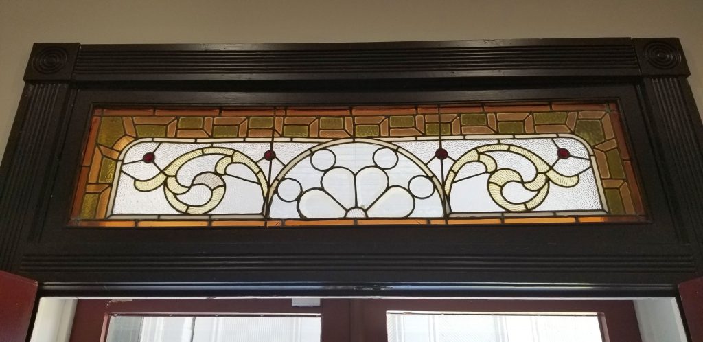
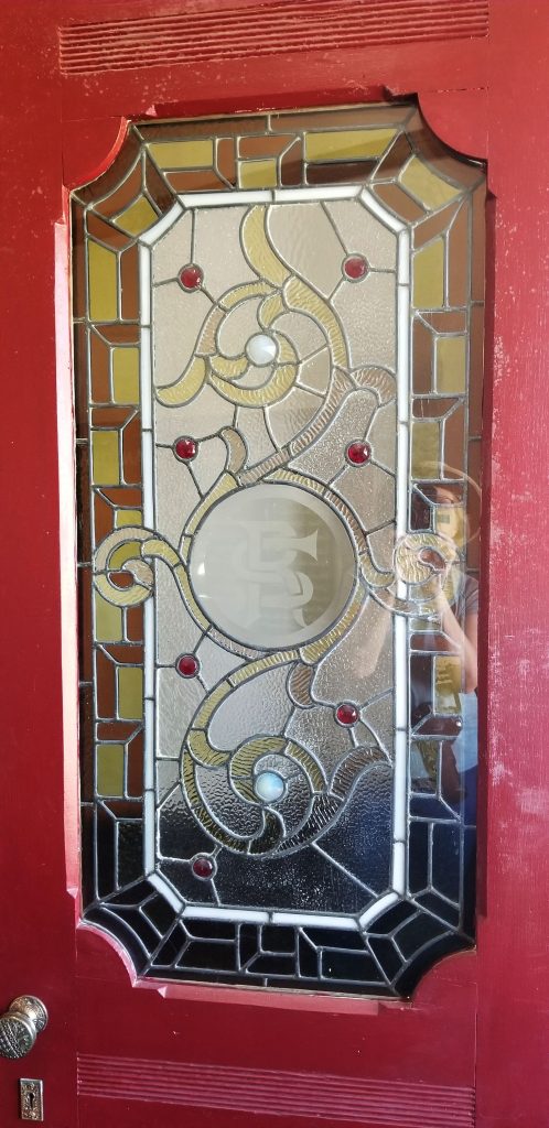
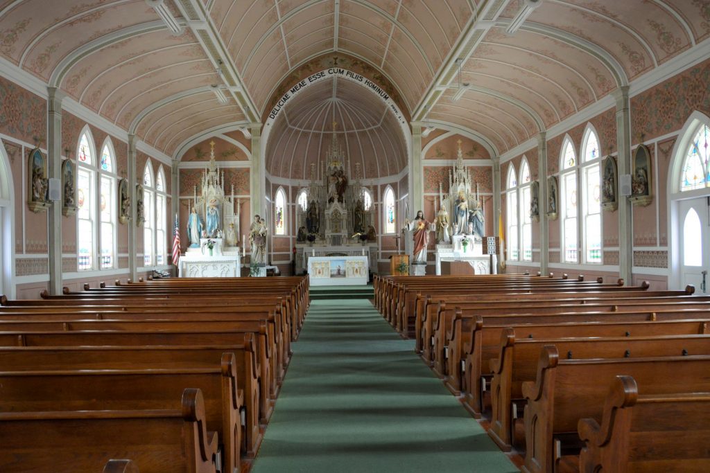
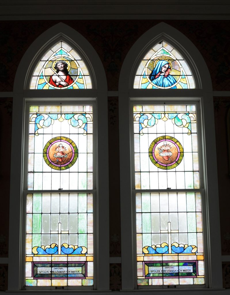
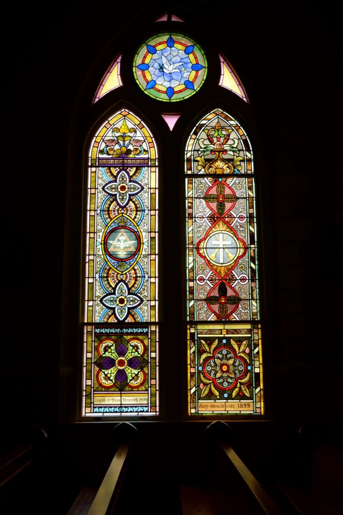
The peach-colored interior of this church is sometimes referred to as dusty rose. There is a blend of both German and Czech styles. This church has beautiful stained glass windows.
The detail in the painting of this church can be seen in the next photo above the side door and stained glass window.
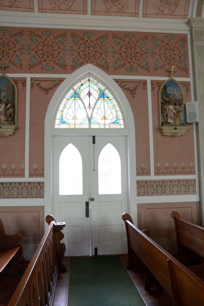
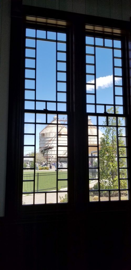
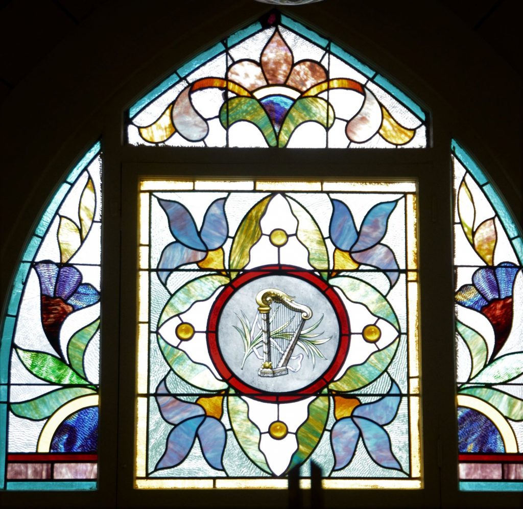
The windows in this church were really beautiful. The church’s stained glass windows tell the story of the area’s Czech roots and history.
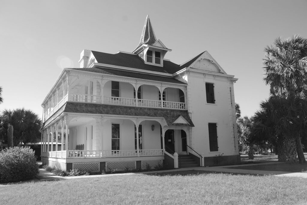
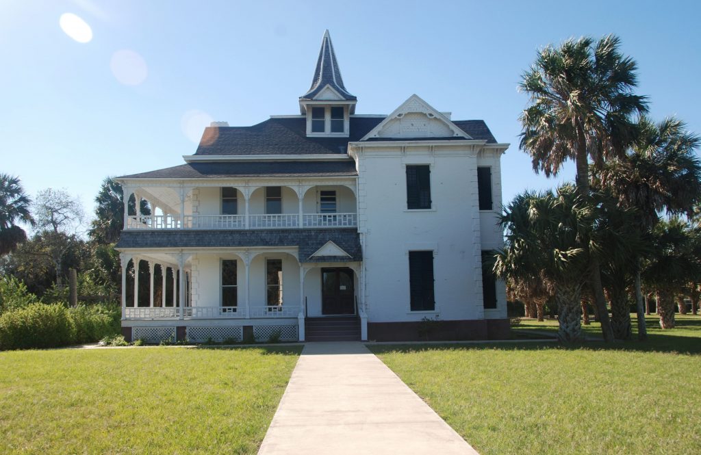
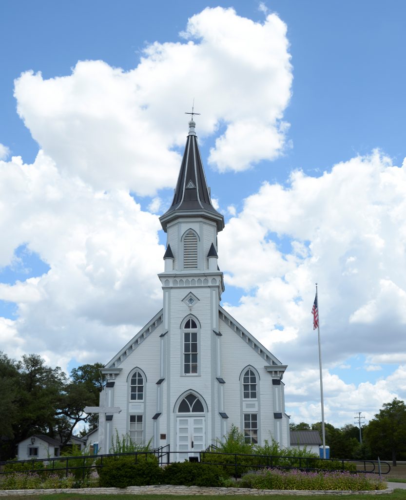
3. St. Mary’s Catholic Church, High Hill, Texas
St. Mary’s Catholic Church, High Hill, Texas
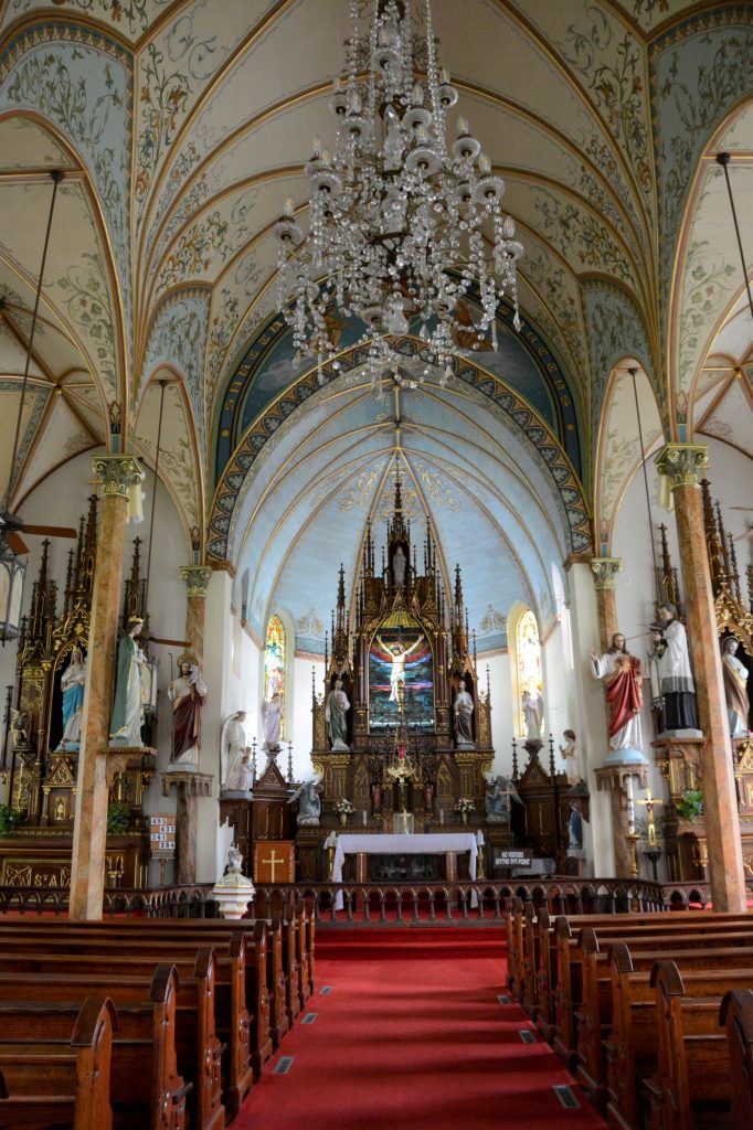
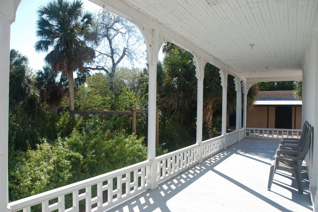
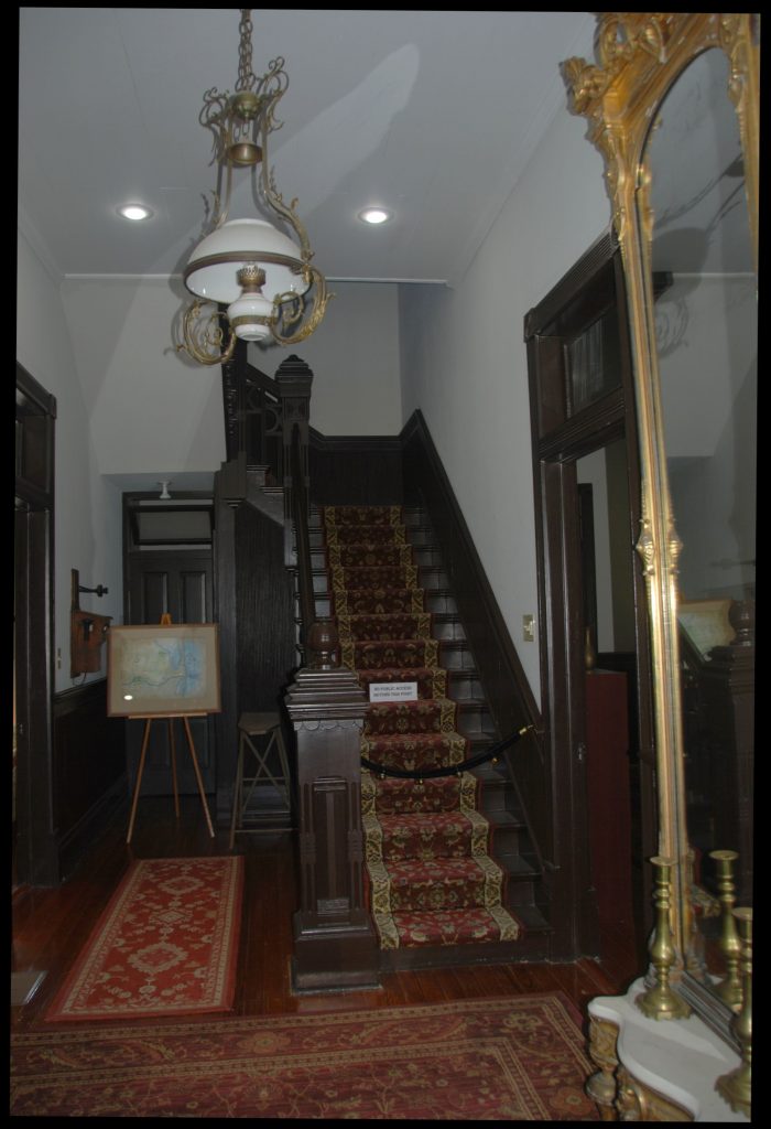
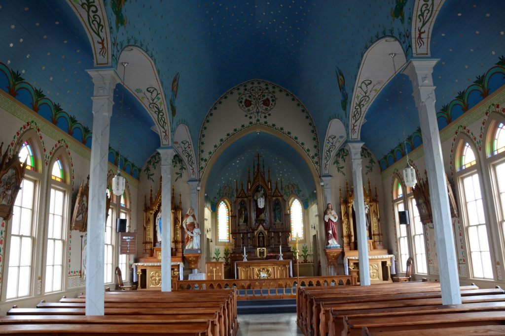
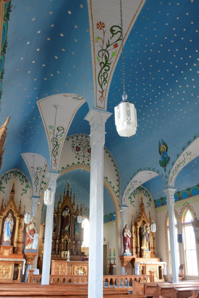
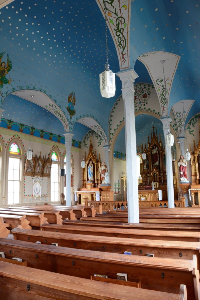
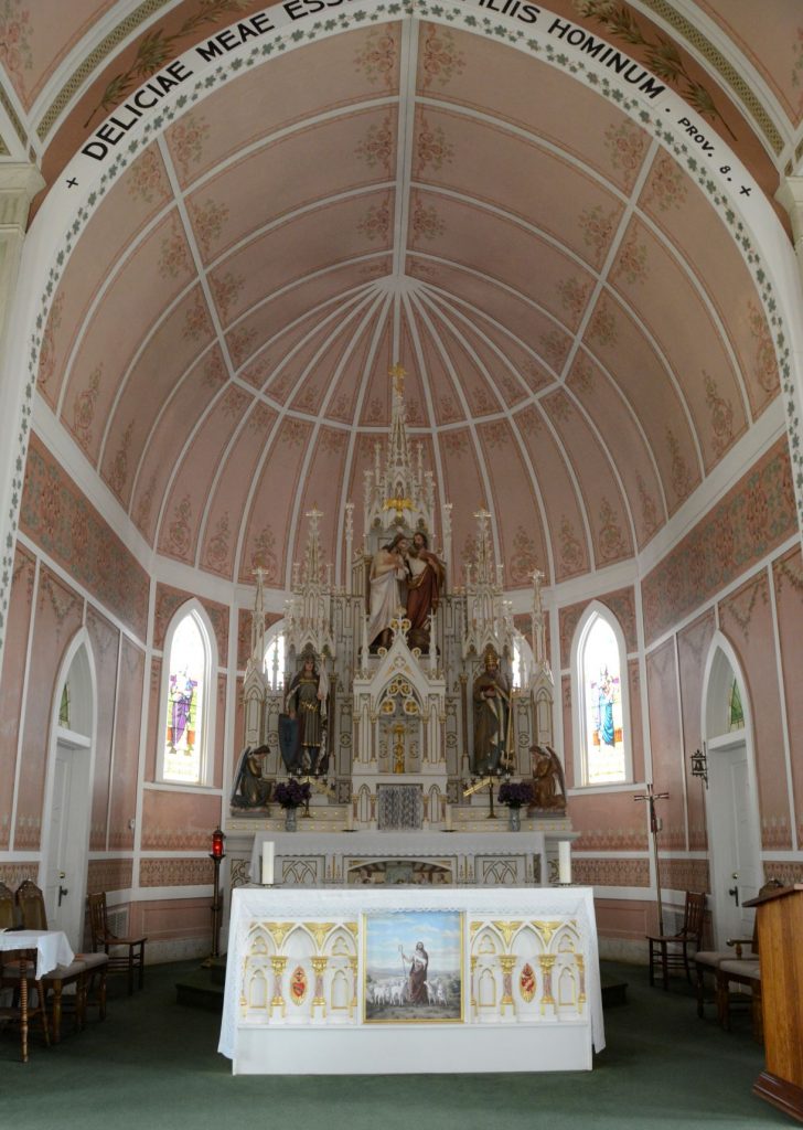
Built in 1906, St. Mary’s Catholic Church is the most elaborate of the four churches and is called “The Queen” of the painted churches. The church hierarchy encouraged the community to build in the Spanish mission style. This was rejected by the local church leaders who wanted churches built of brick or stone to be able to weather storms or fires. The exterior of St. Mary’s is built of bricks.
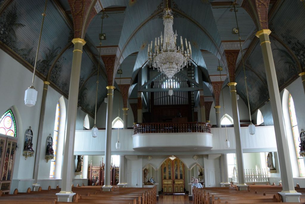
The interior of the church has painted arches creating an illusion of structural beams. The columns are wood, but painted to resemble marble.
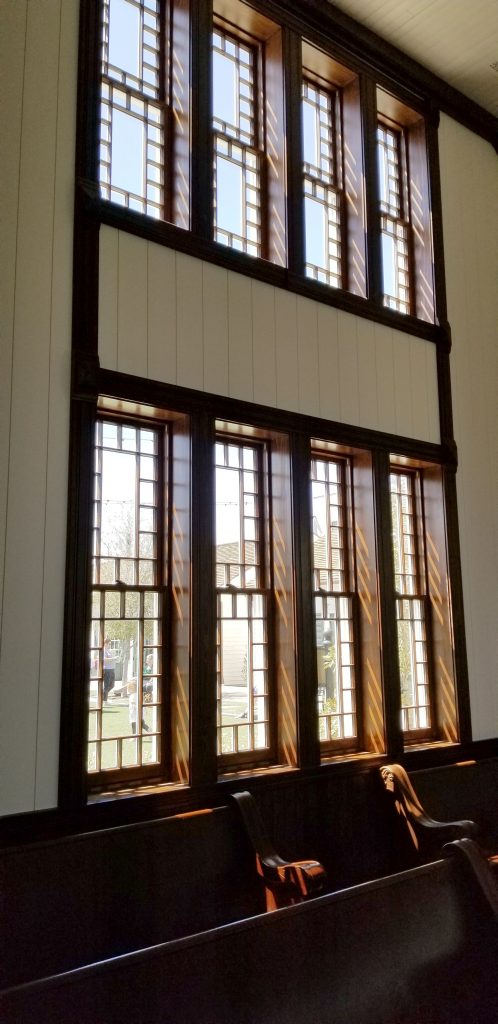
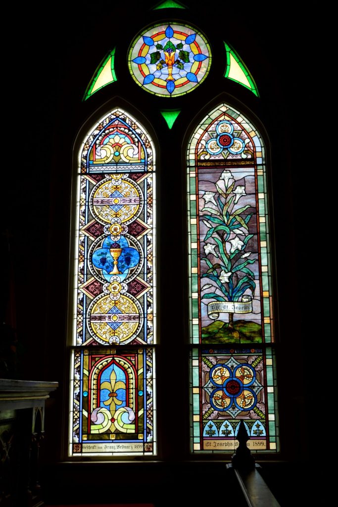
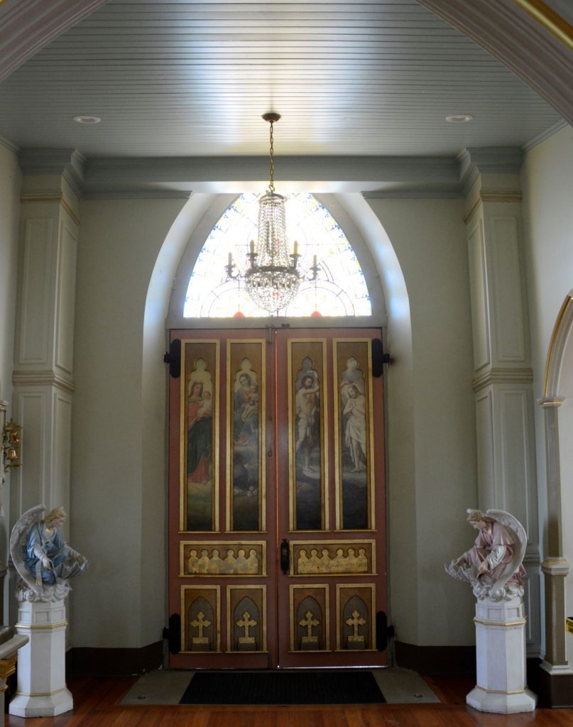
The church is dimly lit because of the intricate and beautiful stained glass windows. The windows, imported from Germany portray biblical scenes, designs and symbols.
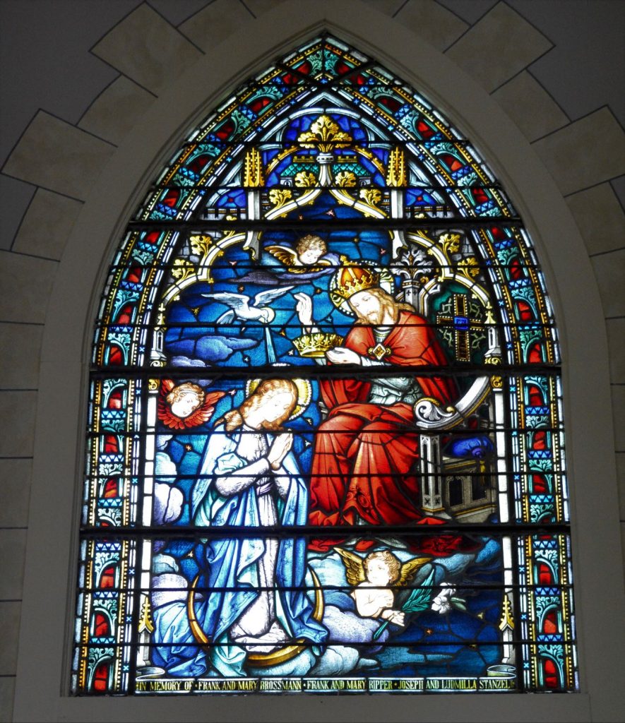
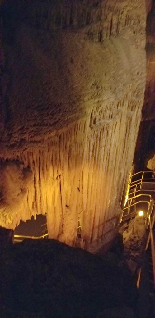
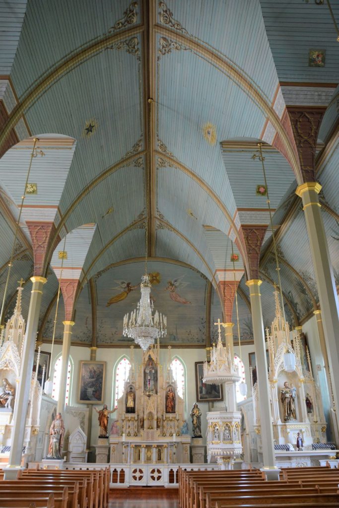
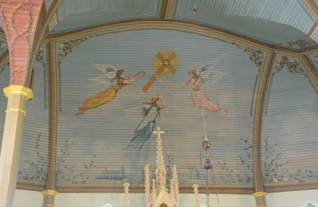
The elaborate interiors of these churches were painted meticulously by hand.
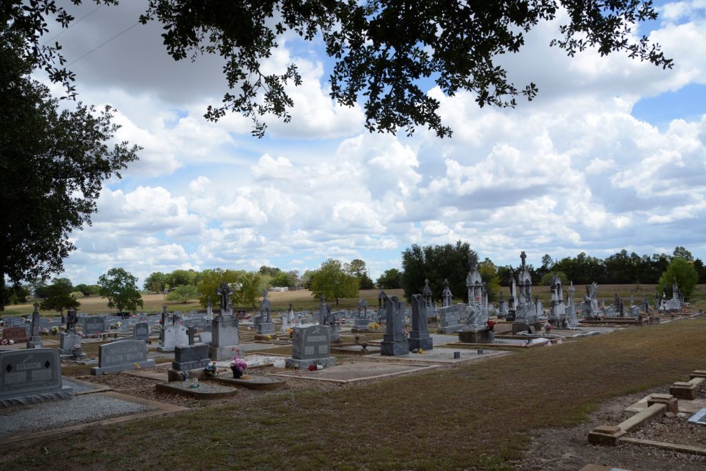
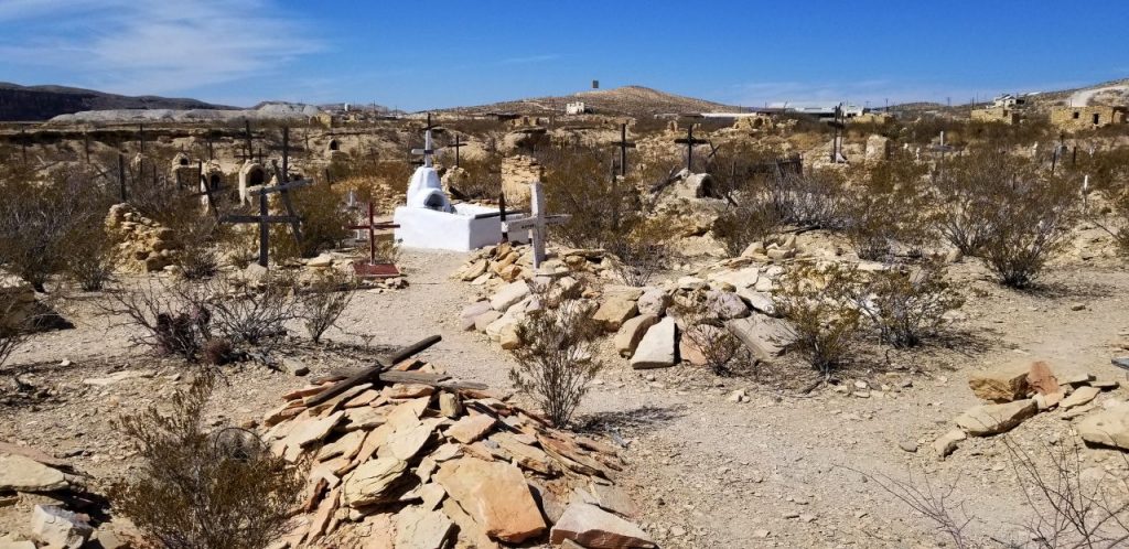
Although each of these churches had a graveyard nearby, this is the only one of which I took a photo.
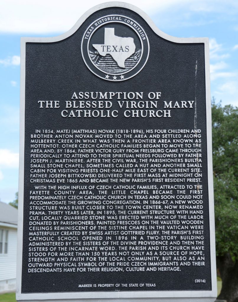
4. St. Mary’s Church of the Assumption, Praha, Texas
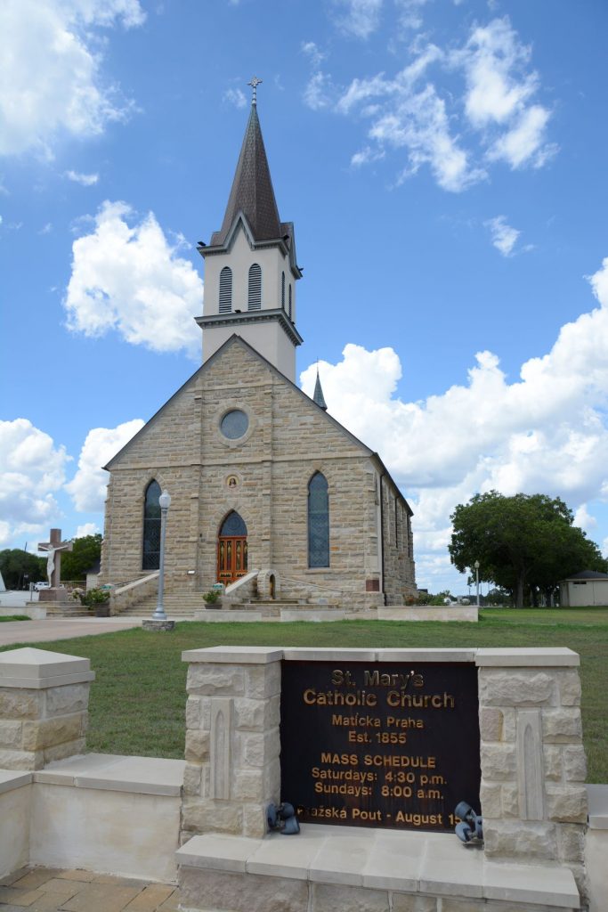
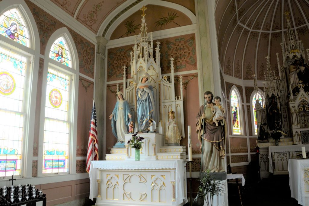
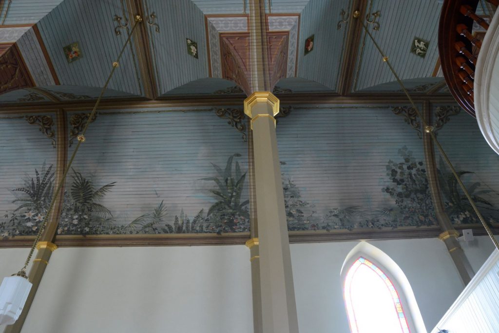
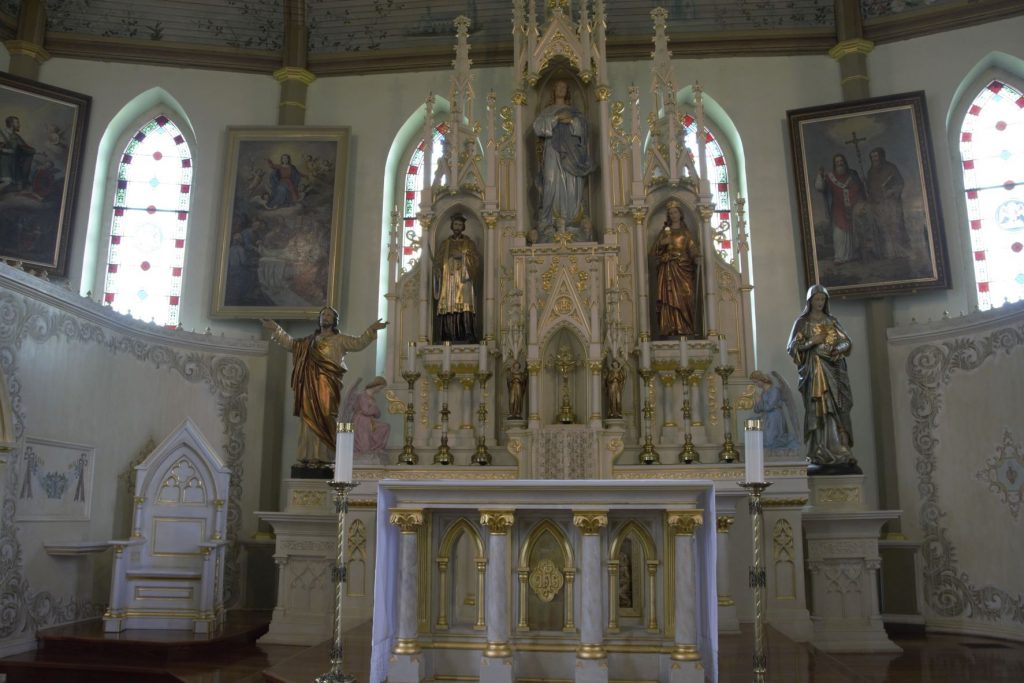
Built in 1895, St. Mary’s Church of the Assumption is a stone church located in Praha, Texas. It is one of the oldest of the painted churches. The altars are hand-carved, and hand-painted in white and gold leaf.
The ceiling is painted to represent the Garden of Eden and filled with Texas flowers.
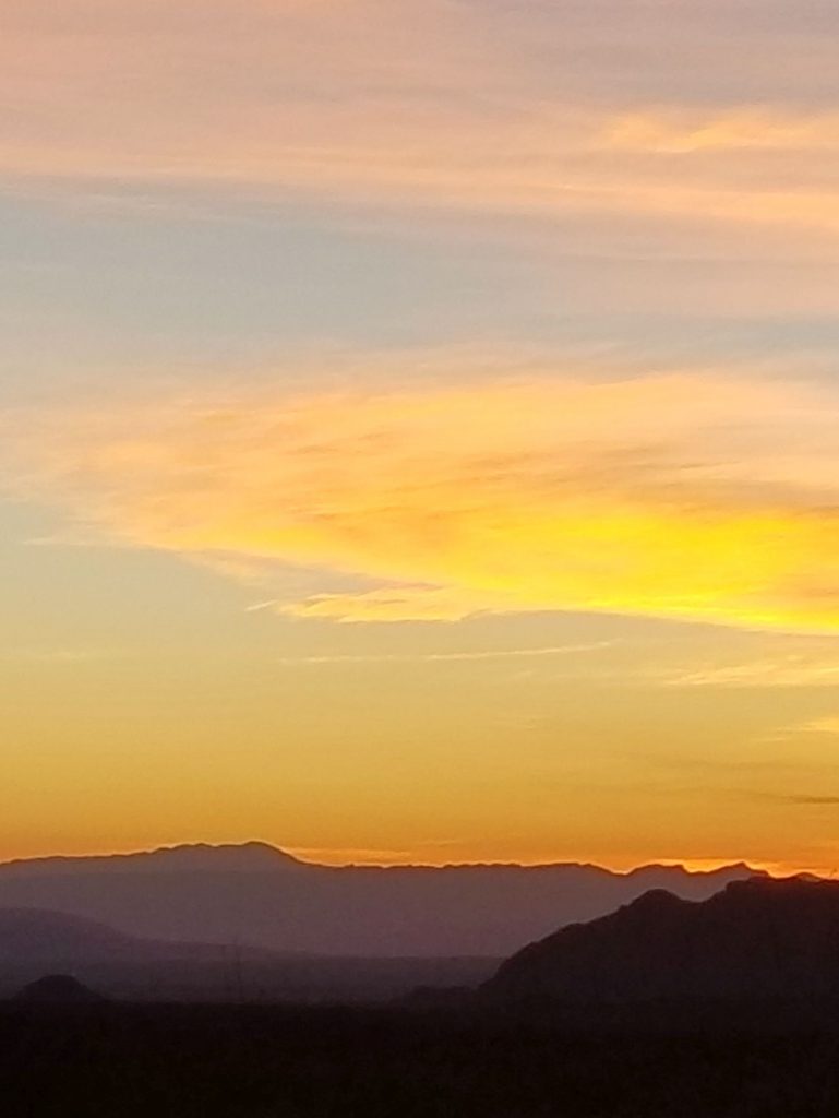
After our tour, we stopped and had an ice cream cone at the “Country Store” in Schulenburg. It was a fun day and perfect for shooting photos with the blue sky and white puffy clouds.
I couldn’t help but notice that almost all of the statues of Jesus depicted Him either dying or dead. It’s wonderful to know the Bible promises us that Jesus is alive!
7 For when we died with Christ we were set free from the power of sin. 8 And since we died with Christ, we know we will also live with Him. 9 We are sure of this because Christ was raised from the dead, and He will never die again. Death no longer has any power over Him. 10 When He died, He died once to break the power of sin. But now that He lives, He lives for the glory of God. Romans 6:7-10 NLT
33 Who will bring charges against God’s elect? God is the one who justifies; 34 who is the one who condemns? Christ Jesus is He who died, but rather, was [a]raised, who is at the right hand of God, who also intercedes for us. Romans 8:33-34 NASB
As for the other painted churches in Texas, hopefully we will be able to visit them eventually and add them to this blog.