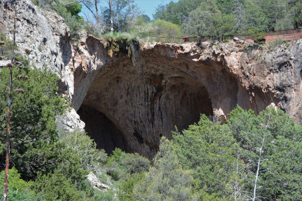
While we were staying in Show Low, Arizona, we took a day trip to see Tonto Natural Bridge State Park. It is believed to be the largest travertine natural bridge in the world.
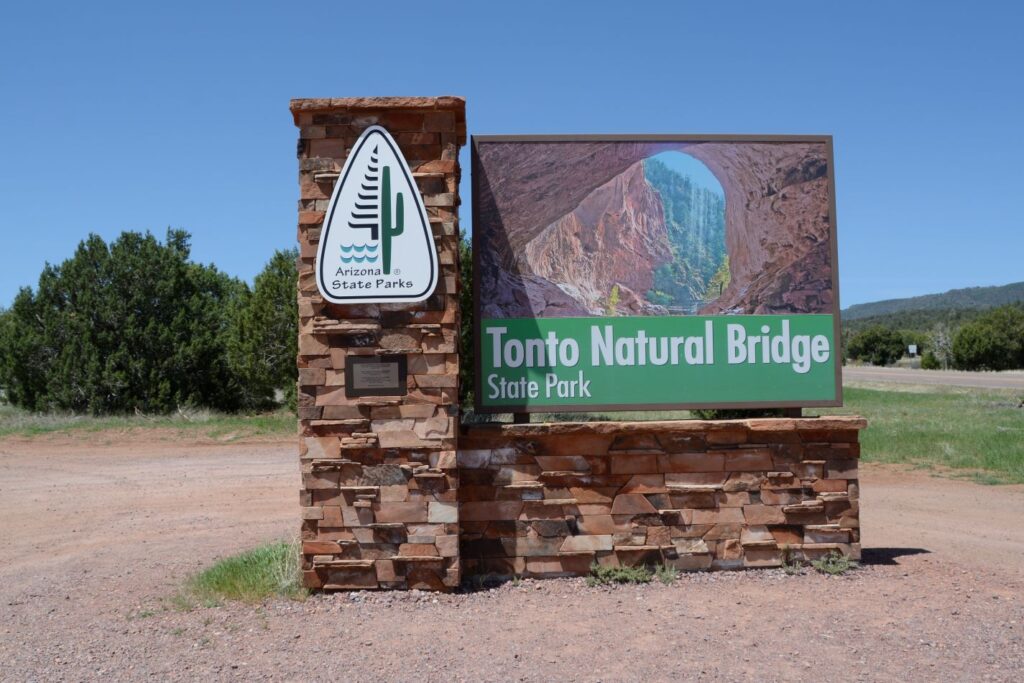
The natural bridge is located less than 15 miles from Payson, Arizona. It was about an hour and a half drive from Show Low. We ate lunch in Payson and then continued on to the park.
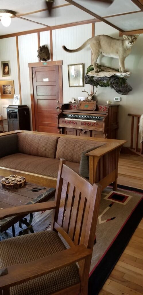
At the entrance we had to park and pay our entrance fee in the gift shop, which is located on the bottom floor of the historic Goodfellow Lodge. The Lodge was built in the 1920s and is still in use today.
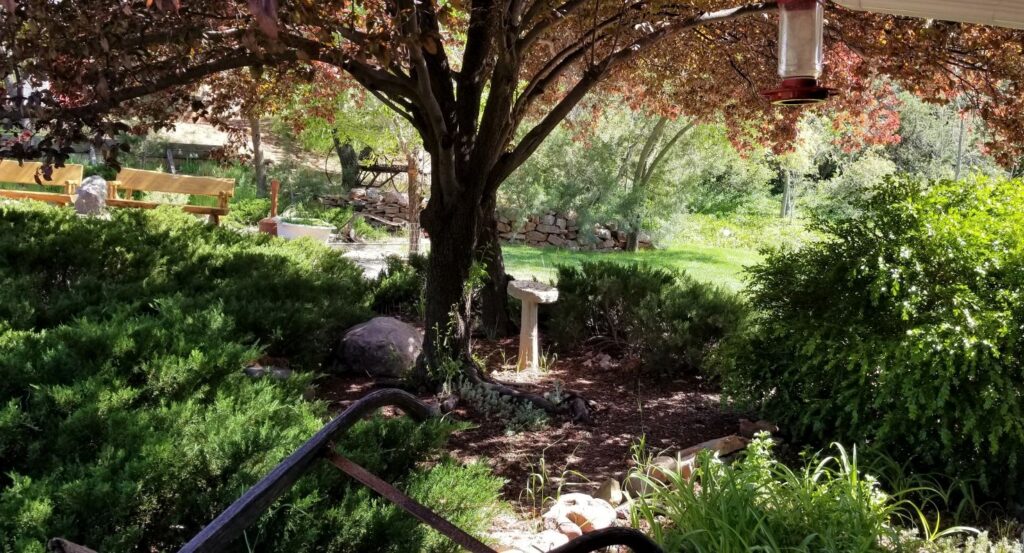
After getting our park pass, we drove to the parking lot closest to the Natural Bridge. There are four viewpoints along the walking path overlooking the tunnel of the bridge from above. We stopped at Viewpoint #1 first.
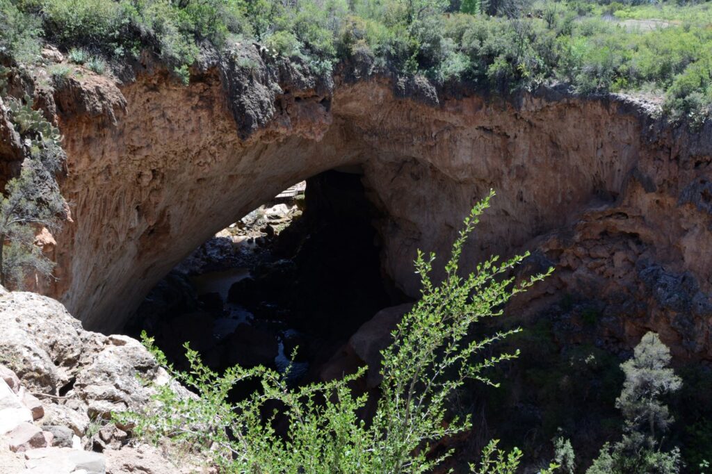
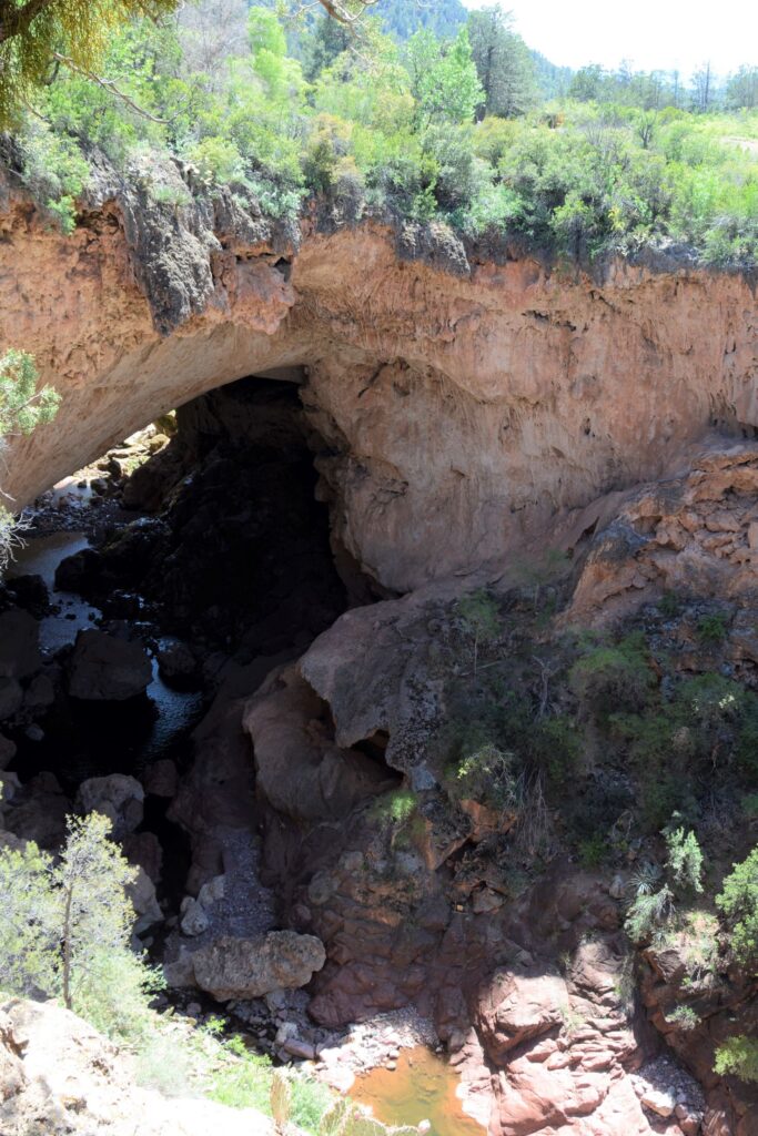
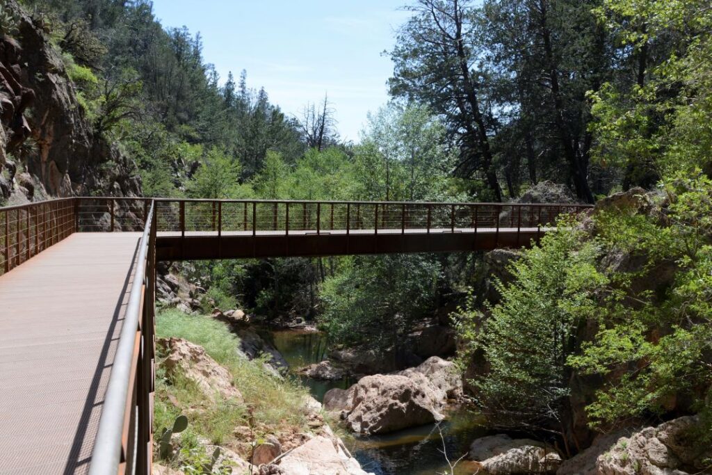
To reach viewpoint #2, we had to walk across the bridge and walk a short distance on the Anna Mae pathway. The tunnel is not visible from this viewpoint. However, the travertine layers are visible. Travertine is formed from calcium carbonate-rich water exposed to air. As it precipitates out, calcite is forced out of solution when the water evaporates. These are similar to cave formations.
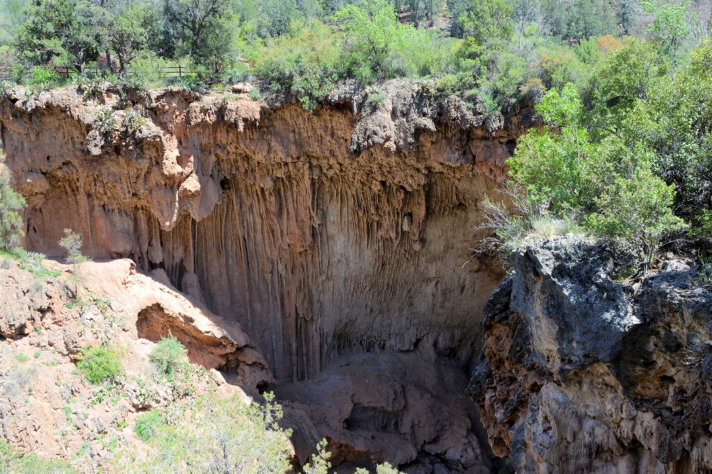
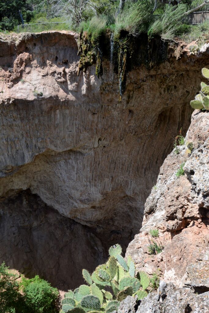
Crossing back over the bridge, we walked to Viewpoint #3 and #4. As we walked to the viewpoints, we crossed over a small stream that flows over the top of the bridge and makes a sparkling waterfall. Looking down, we could see the observation deck and bridge below.
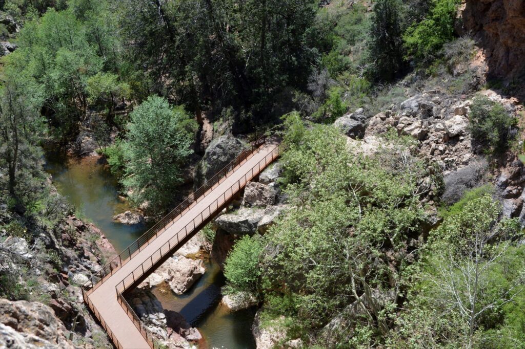
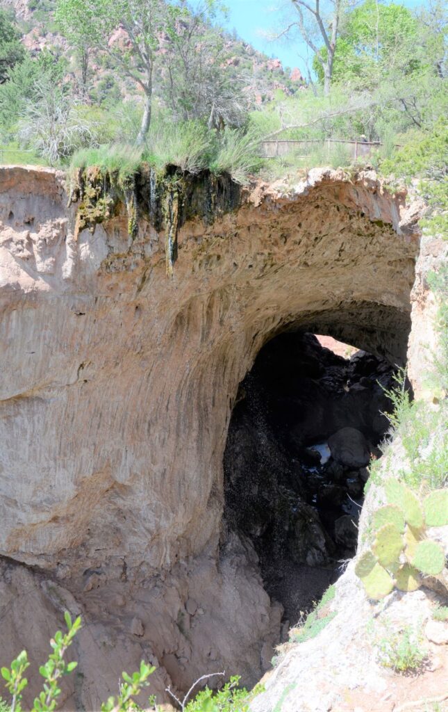
We debated if we should try to hike the trail to the bottom. It was very steep and rocky. But we were there to see what we could, so we decided to give it a go. We proceeded carefully and made it to the bottom fairly easily.
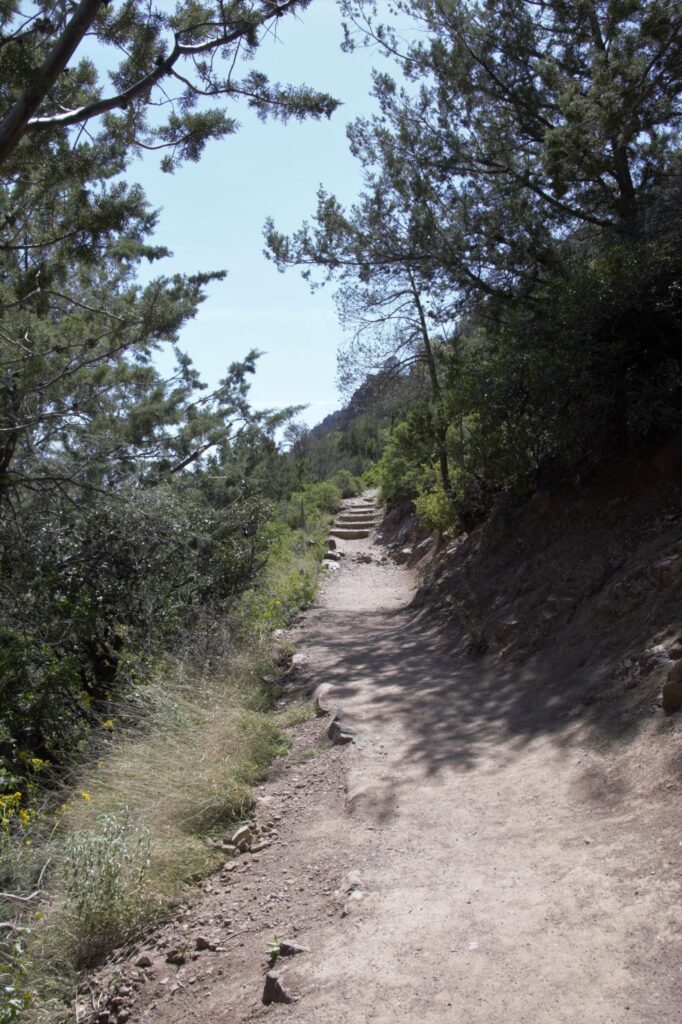
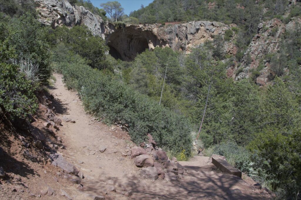
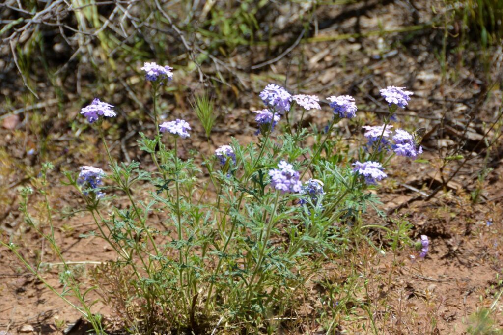
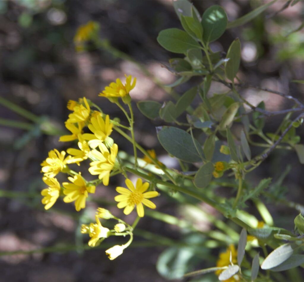
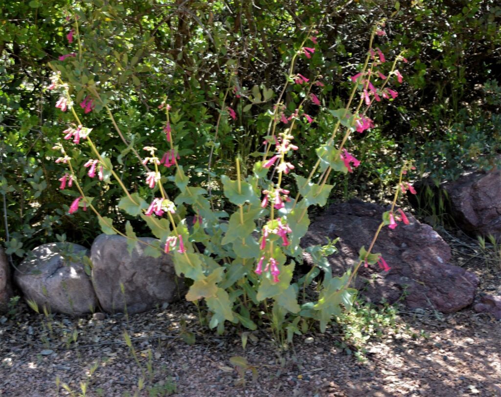
Along the trail to the bottom we saw several wildflowers and interesting plant life.
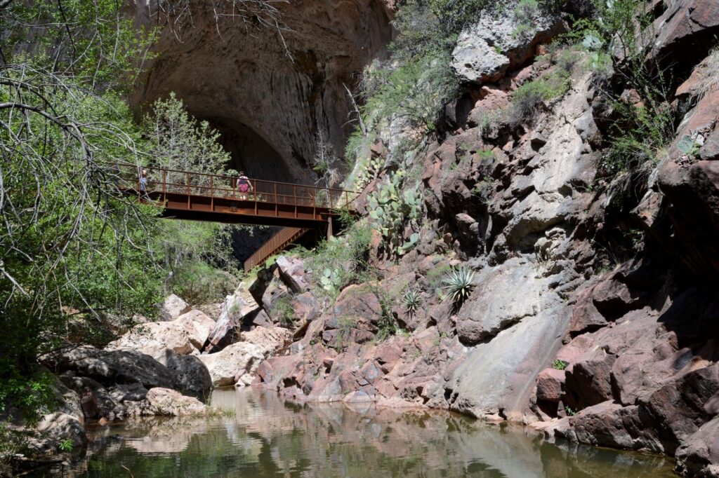
When we got to the bottom, we relaxed for a time in the cool shade, listening to the sounds of Pine Creek. Fortunately, there was a nice breeze that day that kept us cool.
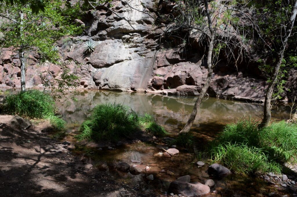
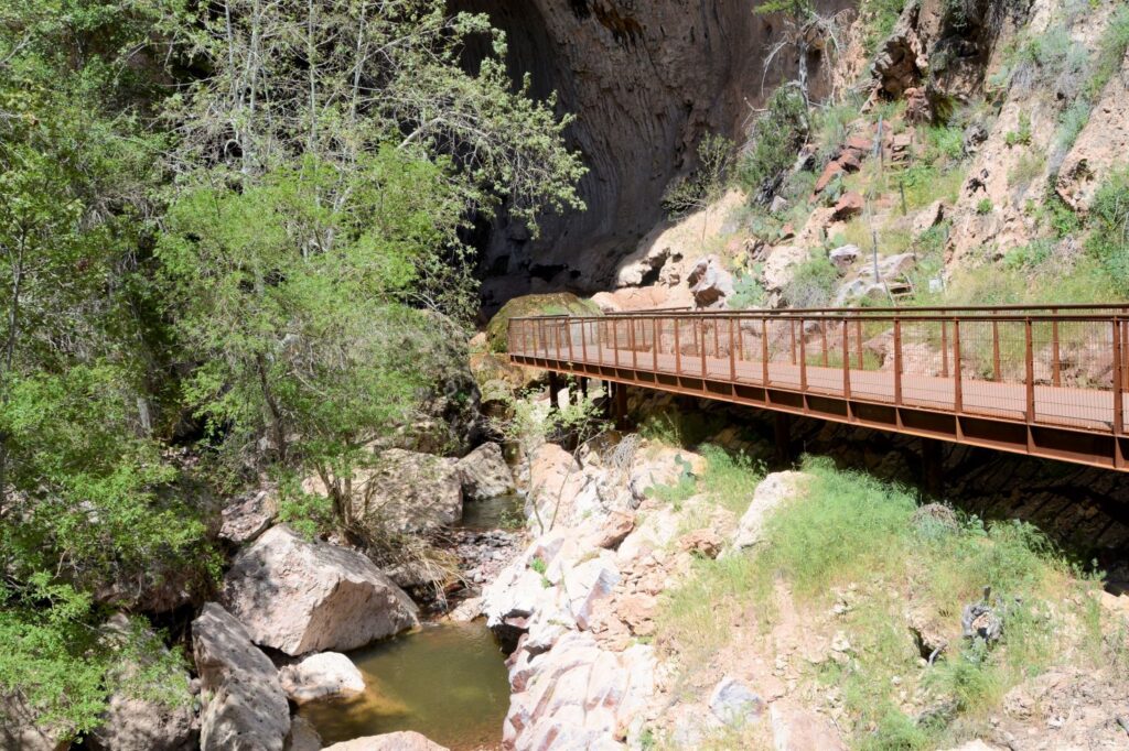
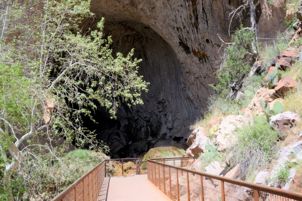
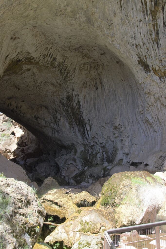
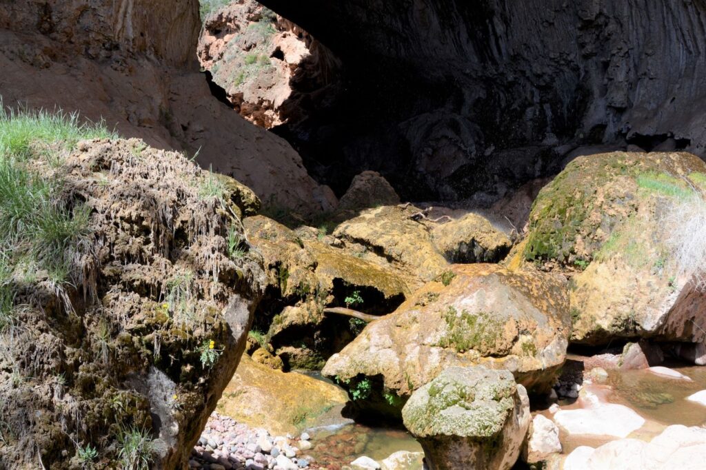
Once at the bottom, the enormity of the Bridge, which was 183 feet high, was evident. It was like looking into a huge cave. Boulders were scattered throughout, and the waterfall glistened as it fell to the rocks below.
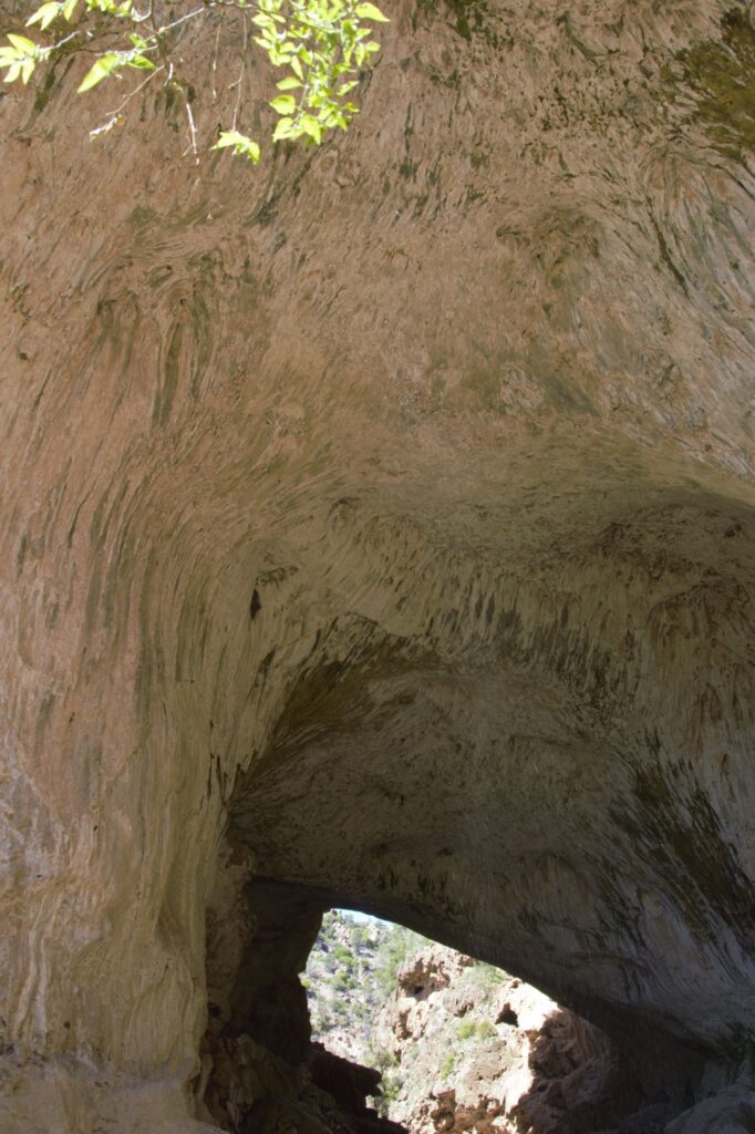
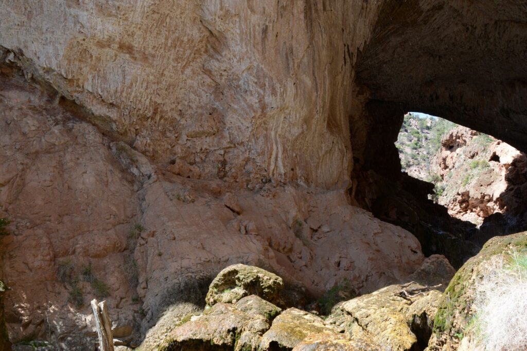
Arrows painted on the rocks showed us that the path continued through the tunnel to the other side. However, it involved scrambling over slippery rocks and boulders. We opted to go back out the way we came.
We took our time and stopped frequently to catch our breath. The elevation is over 4,500 feet. There were a couple of benches of which we took advantage on our way back. It definitely seemed a lot longer going up than it did going down. Eventually we made it up to the top.
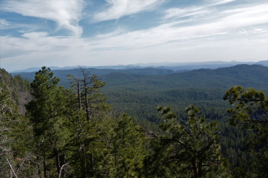
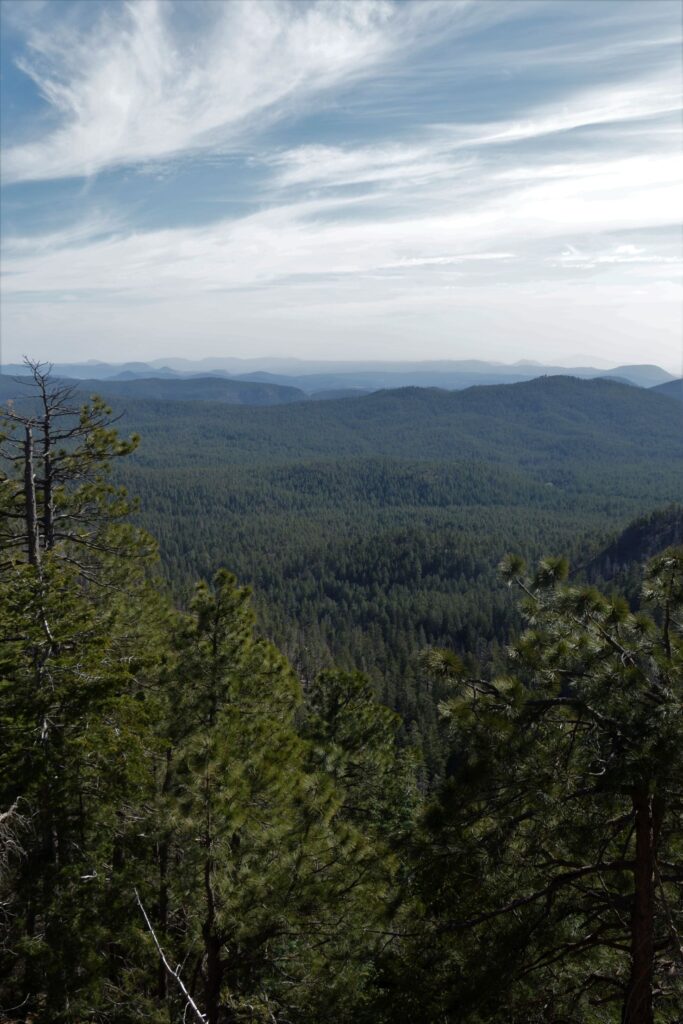
On our way back home to Show Low, we drove for miles along the Mogollon Rim, a steep edge of the Colorado Plateau. We stopped at the Mogollon Rim Visitor Center. It was closed, but the observation deck was open. I stood looking over the mountains and valleys below. Highway 280 along this section is one of the most beautiful drives in Arizona.
Sometimes it is worth the effort to go out of your way to see something really special. That is what we did on this day, and we were glad we did.
“Lord, You have been our dwelling place in all generations.
Before the mountains were born
Or You gave birth to the earth and the world,
Even from everlasting to everlasting, You are God.”
Psalm 90:1-2 NASB
